The best walks and hikes around Perdiguera
4.3
(6)
42
hikers
13
hikes
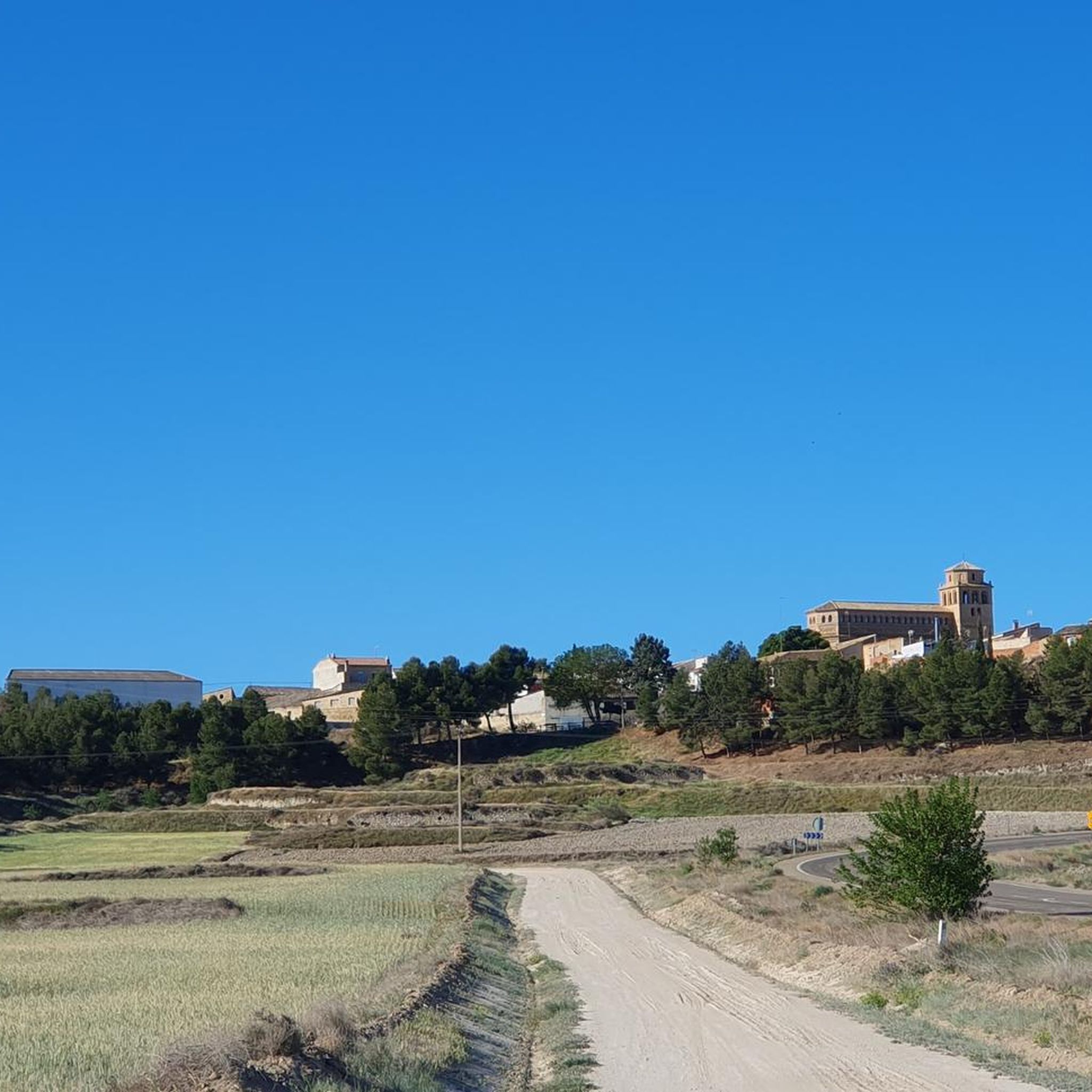
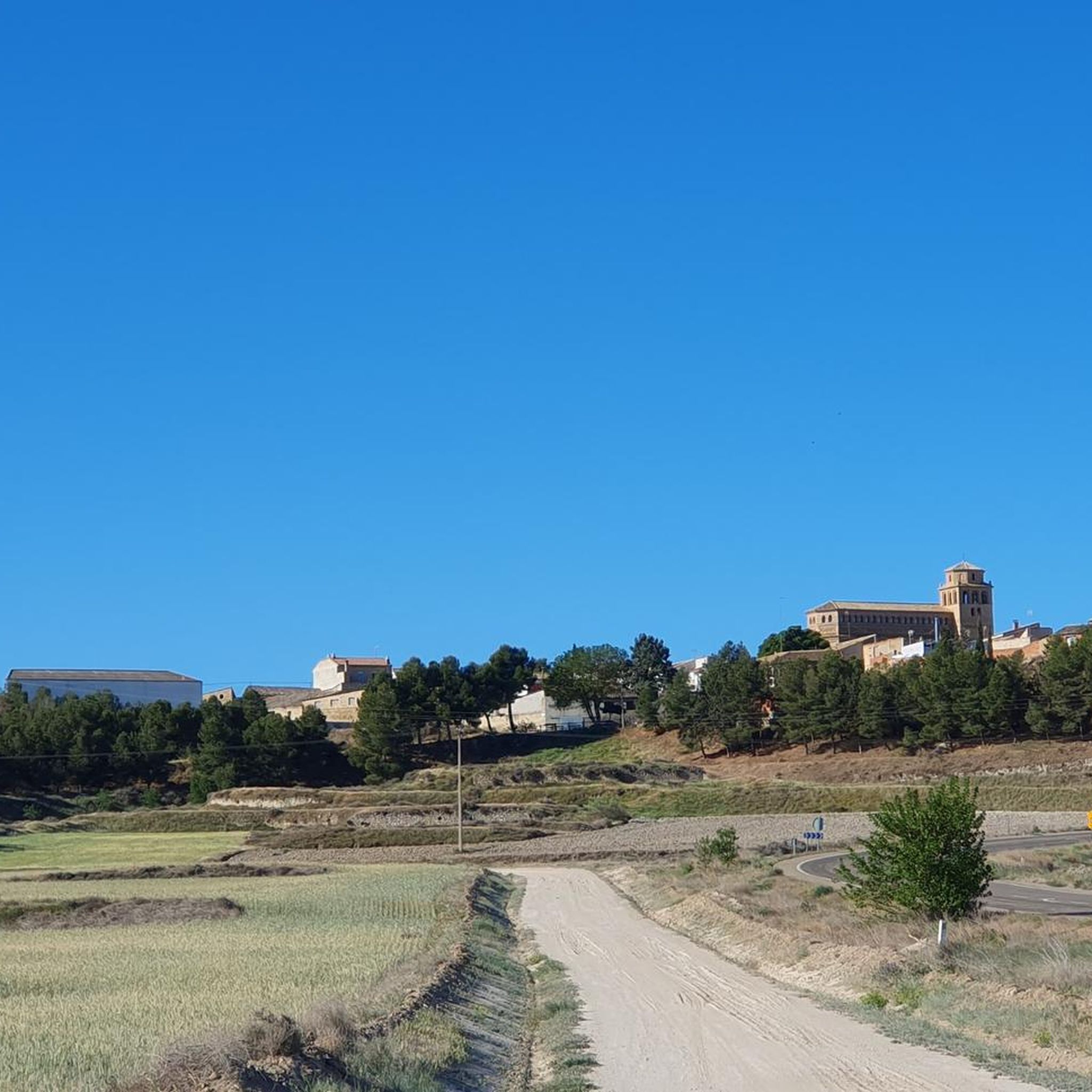
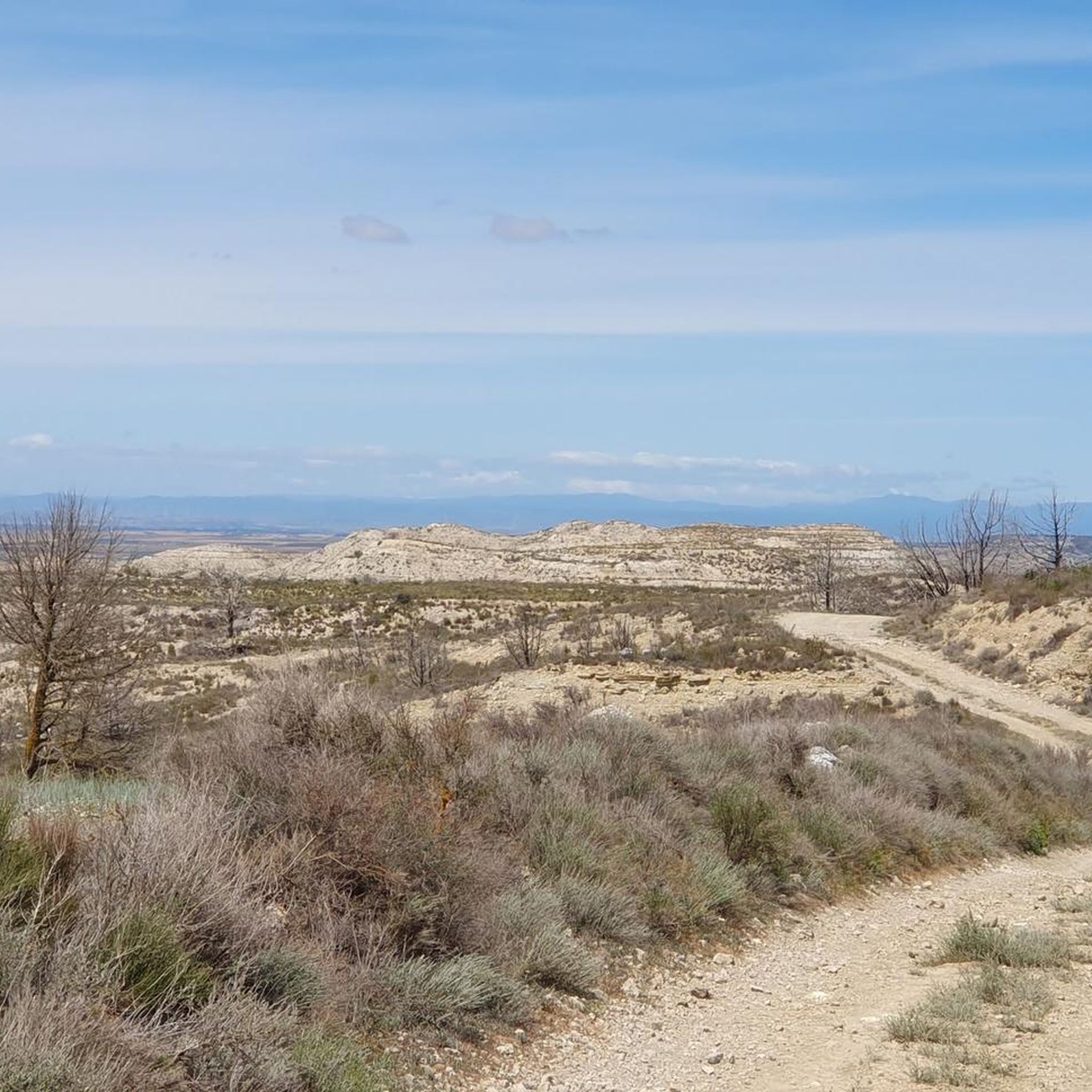
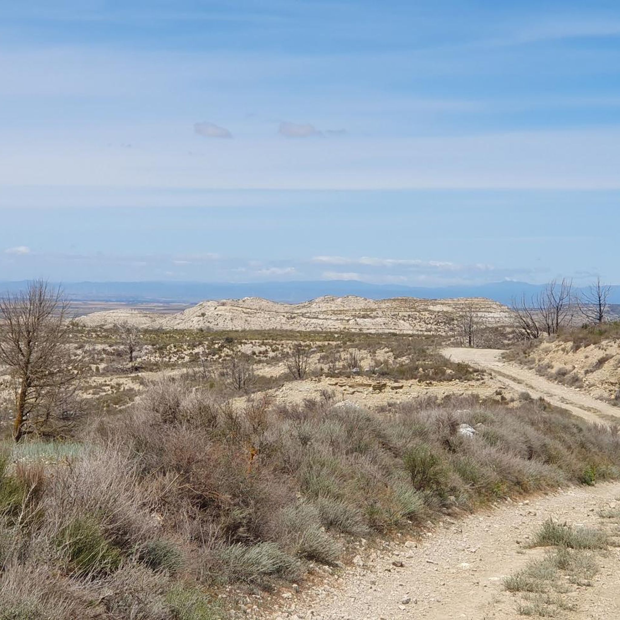
Hiking around Perdiguera offers experiences within the unique arid and steppe landscapes of the Los Monegros region in Zaragoza province. The terrain is characterized by semi-arid conditions, extensive natural vegetation, and geological formations such as "muelas" (table-top mountains) and ravines. Significant features include the Sierra de Alcubierre to the east, which hosts pine and juniper forests, and Monte Oscuro, the highest point in the municipality at 826 meters. The area also features natural depressions, "balsas" (ponds), and "saladas" (salt lakes) that support local flora and fauna.
Best hiking trails around Perdiguera
- The most popular hiking route is Caves of San Caprasio from the Hermitage of the Virgin of Sabina — circular through the Sierra de Alcubierre, a 10.7 miles (17.3 km) trail that takes 4 hours 54 minutes to complete. This moderate route explores the Sierra de Alcubierre, passing by the historic Caves of San Caprasio.
- Another top favourite among local hikers is Summit and radar of Monte Oscuro — circular via the Sierra de Alcubierre, a moderate 7.3 miles (11.8 km) path. This trail ascends to Monte Oscuro, offering panoramic views across the region from its summit and radar station.
- Local hikers also love the Vedado de Peñaflor Loop, a 10.3 miles (16.6 km) trail leading through varied arid landscapes, often completed in about 4 hours 28 minutes.
- Hiking around Perdiguera is defined by arid steppe landscapes, the forested Sierra de Alcubierre, and unique geological formations. The network offers options for easy, moderate, and difficult ability levels.
- The routes in Perdiguera are highly rated by the komoot community with an average score of 4.3 stars from more than 5 reviews. More than 30 hikers have used komoot to explore Perdiguera's varied terrain.
Last updated: October 6, 2026
3.0
(1)
9
hikers
Moderate hike. Good fitness required. Easily-accessible paths. Suitable for all skill levels.
2
hikers
11.8km
03:21
260m
270m
Moderate hike. Good fitness required. Easily-accessible paths. Suitable for all skill levels.

2
hikers
16.6km
04:29
210m
220m
Hike a moderate 10.3-mile loop through Vedado de Peñaflor, visiting Pino Guitón, a forest lookout, and Campillo Viewpoint.
4.0
(2)
7
hikers
19.6km
05:31
410m
410m
Hard hike. Very good fitness required. Easily-accessible paths. Suitable for all skill levels.
5.0
(1)
4
hikers
9.36km
02:35
170m
170m
Moderate hike. Good fitness required. Easily-accessible paths. Suitable for all skill levels.
Get access to more routes and recommendations from other explorers.
Already have an account?
Our route recommendations are based on thousands of hikes, rides, and runs completed by other people on komoot.
Start today with a free account
Your next adventure awaits.
Tips from the Community

WEATHER RADAR MONTE OSCURO
0
0

The descent towards Peñaflor is quite pleasant, progressive and with good ground. We climbed up from the path of the val de los pozos, via the cuesta de la cadena
0
0

a sample of everything that can be done!
0
0

It's a small sanctuary located high in the mountains (at an altitude of approximately 860 m), popular with hikers and cyclists. From there, there are spectacular views of the Monegros mountains, the mountains, and, on clear days, even the Pyrenees. It's one of the most iconic spots on the mountain bike routes in the area.
0
0

A magical place! Magnificent views and peaks of the Ruta de los Miradores
0
0
A magical place! Magnificent views along the entire panoramic road
0
0

A tough but very rewarding climb to the top of Monte Oscuro, home to the weather station and the large spherical radar visible for miles. The place is breathtaking: surrounded by silence, with spectacular views of the entire Cinca Medio, the Pyrenees to the north, and the Monegros to the south. The climb is steady, along a well-maintained forest track, although with challenging sections. Reaching the top, with the radar next to you, gives you the feeling of having reached a special place. A must-stop for photos, a break, and to enjoy the open landscape.
0
0
A group of natural caves located on the slopes of Mount San Caprasio, associated with ancient pastoral, hermitage, and possibly even pre-Christian uses. Some were used as shelters for shepherds or anchorites, and local tradition links them to the primitive cult that gave rise to the hermitage. Relatively easy to access from the track or the hermitage, they are a curious place to explore on foot, with views of the Ésera Valley and an utterly silent environment. They add a mystical and ancestral touch to any route in the area.
0
0
Frequently Asked Questions
What kind of terrain can I expect when hiking near Perdiguera?
Hiking around Perdiguera primarily features the unique arid and steppe landscapes of the Los Monegros region. You'll encounter semi-arid conditions, extensive natural vegetation, and distinctive geological formations like "muelas" (table-top mountains) and ravines. To the east, the Sierra de Alcubierre offers a contrast with pine and juniper forests.
Are there any easy hiking trails suitable for beginners around Perdiguera?
Yes, there are trails suitable for beginners. Out of the 10 routes available, 2 are rated as easy. These shorter, less strenuous options allow you to experience the unique landscapes without significant challenge.
What are some notable natural features or landmarks to see on hikes near Perdiguera?
The region offers several interesting natural and historical features. You can explore the San Caprasio Caves, visit the Hermitage of the Virgin of the Sabina, or ascend to the Summit of Monte Oscuro for panoramic views. The area also features natural depressions, "balsas" (ponds), and "saladas" (salt lakes) that support local flora and fauna.
Are there any circular hiking routes in the Perdiguera area?
Yes, many of the trails around Perdiguera are circular, offering convenient starting and ending points. For example, the moderate route Summit and radar of Monte Oscuro — circular via the Sierra de Alcubierre is a popular circular option, as is the Vedado de Peñaflor Loop.
What is the best time of year to go hiking in Perdiguera?
Given the semi-arid climate of the Los Monegros region, spring and autumn are generally the most pleasant seasons for hiking. Temperatures are milder, and you can avoid the intense heat of summer. Winter can also be suitable, though it may be cooler.
Can I bring my dog on the hiking trails around Perdiguera?
The natural landscapes around Perdiguera are generally welcoming to dogs. However, it's always recommended to keep your dog on a leash, especially in areas with wildlife or near agricultural land, and to check for any specific local regulations or protected areas that might have restrictions.
Are there any family-friendly hiking options near Perdiguera?
While specific family-friendly routes are not explicitly detailed, the 2 easy-rated trails would be the most suitable for families with children. These routes are typically shorter and have less elevation gain, making them more manageable for younger hikers.
What kind of wildlife might I encounter while hiking in Perdiguera?
The unique ecosystem of Los Monegros supports diverse flora and fauna. The region is particularly important for birdwatching, with Special Protection Areas for Birds (ZEPAs) hosting raptors like the golden eagle, real owl, and Egyptian vulture, as well as steppe birds such as great bustards. You might also spot various endemic species adapted to the arid environment.
How long do hikes around Perdiguera typically take?
Hike durations vary depending on the route and your pace. For example, the moderate Summit and radar of Monte Oscuro — circular via the Sierra de Alcubierre takes approximately 3 hours 21 minutes, while the longer Caves of San Caprasio from the Hermitage of the Virgin of Sabina route can take around 4 hours 54 minutes.
What do other hikers enjoy most about hiking in Perdiguera?
The area is highly rated by the komoot community, with an average score of 4.3 stars from more than 5 reviews. Hikers often praise the unique arid landscapes, the sense of solitude, and the panoramic views from points like Monte Oscuro. The variety of terrain, from steppe to pine forests in the Sierra de Alcubierre, is also frequently highlighted.
Are there any historical routes or points of interest in the area?
Yes, the region has historical significance. The Sierra de Alcubierre, for instance, is known for its role during the Spanish Civil War, and the area features routes like the Ruta Orwell, which traces trenches and defenses, combining historical interest with natural exploration. You can also find old cisterns and wells that tell the story of water consumption over centuries.
What is the highest point I can reach on a hike in Perdiguera?
The highest point within the municipality of Perdiguera is Monte Oscuro, standing at 826 meters. Hikes to its summit, such as the Summit and radar of Monte Oscuro — circular via the Sierra de Alcubierre, offer extensive panoramic views of the surrounding region, including the Pyrenees on clear days.
Most popular attractions around Perdiguera

Get inspired with the komoot mobile app


Explore more
Browse the best Hikes in other regions.
