The best road cycling routes around Torre De Don Miguel
125
riders
15
rides
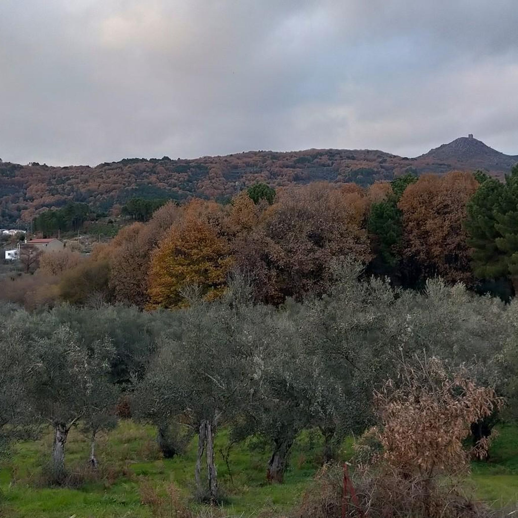
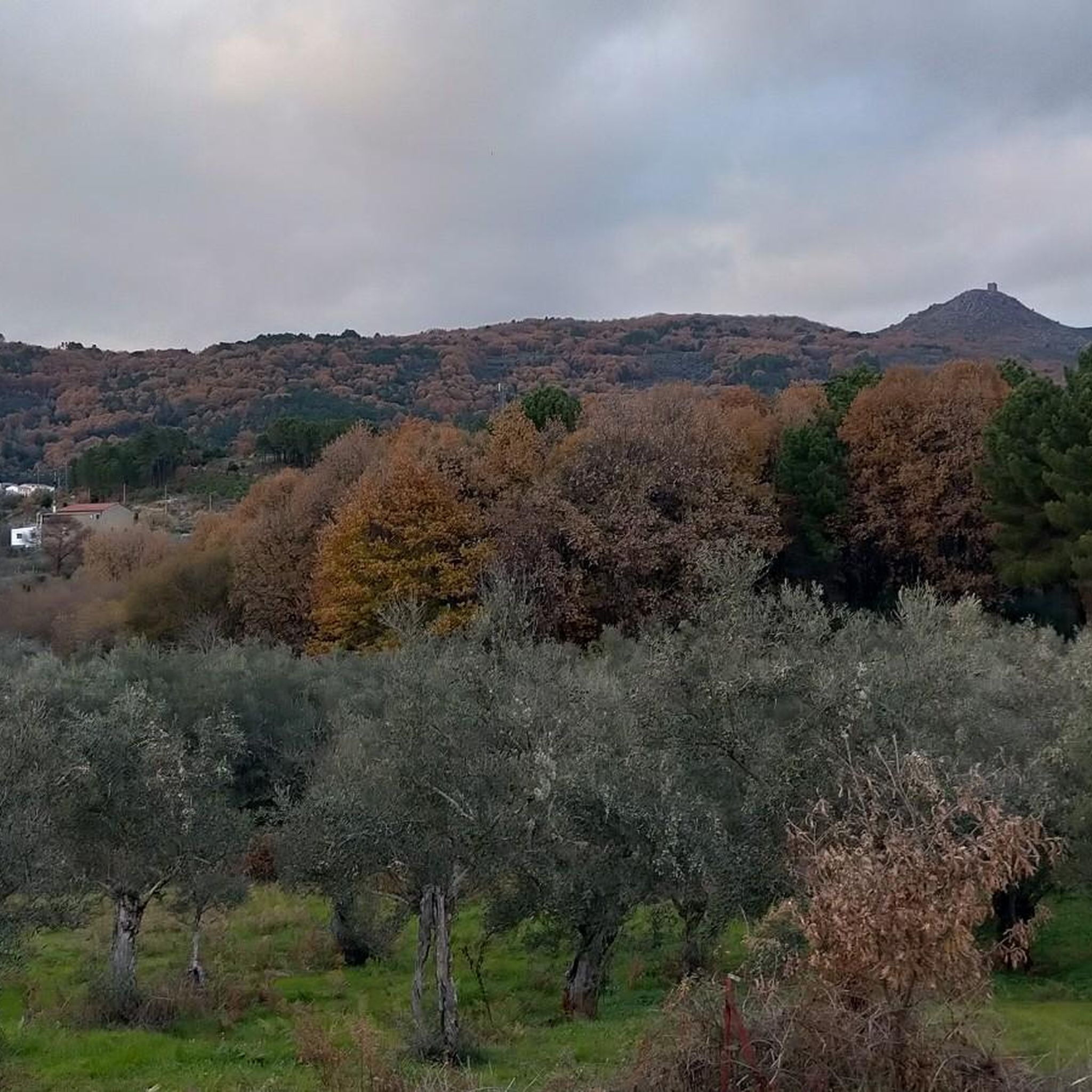
Road cycling routes around Torre De Don Miguel traverse the diverse landscapes of the Sierra de Gata in Cáceres, Extremadura. The region features a varied terrain with significant altitudinal changes, including mountain ranges like Sierra del Salio and Sierra de las Jañonas, which offer challenging climbs and descents. Cyclists encounter abundant forests of olive, oak, chestnut, and pine trees, alongside valleys and plains. The area's topography provides a mix of paved surfaces suitable for road cycling.
Best road cycling routes…
Last updated: October 13, 2026
44
riders
88.4km
04:43
1,730m
1,730m
Hard road ride. Very good fitness required. Mostly well-paved surfaces and easy to ride.
19
riders
71.4km
03:28
1,030m
1,030m
Hard road ride. Very good fitness required. Mostly well-paved surfaces and easy to ride.

11
riders
70.0km
03:37
1,160m
1,160m
Hard road ride. Very good fitness required. Some segments of this route may be unpaved and difficult to ride.
17
riders
Moderate road ride. Good fitness required. Mostly well-paved surfaces and easy to ride.
10
riders
88.8km
04:15
1,010m
1,010m
Hard road ride. Very good fitness required. Mostly well-paved surfaces and easy to ride.
Get access to more routes and recommendations from other explorers.
Already have an account?
Our route recommendations are based on thousands of hikes, rides, and runs completed by other people on komoot.
Start today with a free account
Your next adventure awaits.


Tips from the Community

What to see in Hoyos: Church of Our Lady of the Good Man A Romanesque-Gothic church with portals in different styles and a remarkable Romanesque carving. It is one of the town's most emblematic buildings. Parish Church of Saint John the Baptist An example of the 16th-century Gothic-Mudéjar style, with a Baroque altarpiece and frescoes on its vaults. Ruins of the Convent of the Holy Spirit A 16th-century Franciscan convent located on the outskirts of town, surrounded by nature.
3
0
Hoyos is a highly regarded village in the Sierra de Gata mountains, renowned for its stately atmosphere, traditional architecture, and natural surroundings. It stands out for its tranquility, historical heritage, and mild microclimate, which for centuries attracted bishops and nobles to spend time there. It's a perfect destination if you're looking for peace, nature, hiking, history, and authentic Extremaduran cuisine. It's also considered a village with a rich cultural legacy, reflected in its cobbled streets, palaces, and ancestral homes.
3
0
The town's main square is known as Plaza del Palacio (Palace Square), and it serves as the administrative center and one of the town's most iconic landmarks. It is where the Villasbuenas de Gata Town Hall is located. Situated in the heart of the town center, it is a popular meeting place for locals.
3
0
The town's main square is known as Plaza del Palacio (Palace Square), and it serves as the administrative center and one of the town's most iconic landmarks. It is where the Villasbuenas de Gata Town Hall is located. Situated in the heart of the town center, it is a popular meeting place for locals.
4
0
San Martín de Trevejo is a Spanish municipality in the province of Cáceres, in the autonomous community of Extremadura. It is located in the extreme northwest, in the Sierra de Gata region, very close to the Portuguese border and the province of Salamanca. It is located in a valley at the foot of Mount Jálama. Its inhabitants are mañegas and mañegus, and their peculiar speech or “A Fala” is called “Mañegu”. It has been listed as One of the Most Beautiful Towns in Spain since 2019.
2
0

The Cruz de la Piedra pass is a mountain pass in the Sierra del Salido and also a crossroads between the highway and the forest trails and tracks that run through the mountains and connect Torre de Don Miguel and Gata, in the province. from Caceres. At its highest point there is a stone cross.
1
0

Paradise with lots of unevenness, keep an eye on the heat in the valleys at midday
0
1

At this point you will find a Roman stone cross. It is also a high point where there are some good views. It's just off the road but worth a visit.
2
0
Frequently Asked Questions
How many road cycling routes are available around Torre De Don Miguel?
There are over 10 road cycling routes around Torre De Don Miguel listed on komoot, offering a variety of experiences through the Sierra de Gata region.
What is the typical difficulty level for road cycling in this region?
Road cycling in Torre De Don Miguel is generally suited for moderate to difficult ability levels. The region's terrain, with mountain ranges like Sierra del Salio and Sierra de las Jañonas, features significant altitudinal changes and challenging climbs. There are 8 moderate routes and 3 difficult routes, with no easy routes specifically listed.
What kind of terrain can I expect on road cycling routes in Sierra de Gata?
You can expect a varied terrain with significant altitudinal changes, including mountainous sections and valleys. Routes often pass through abundant forests of olive, oak, chestnut, and pine trees, alongside plains and meadows. The surfaces are primarily paved, suitable for road cycling.
Are there routes with significant climbs for experienced cyclists?
Yes, the Sierra de Gata region is ideal for cyclists seeking climbs. Over 60% of the terrain exceeds 700 meters in altitude, and 50% features slopes greater than 20%. Routes like the difficult Viewpoint of Hoyos – Navasfrías Town Center loop from Barrio El Camping-La Rivera, with over 1700m of elevation gain, offer substantial challenges.
What landmarks or points of interest can I see along road cycling routes?
Many routes offer glimpses of the region's rich history and natural beauty. You might pass by the historic Villasbuenas de Gata Village Square, the medieval Torre de Almenara, or the impressive Borbollón Dam. The village of Torre de Don Miguel itself, with its cobbled streets and traditional architecture, is also a highlight.
Are there routes with scenic viewpoints?
Absolutely. The elevated terrain of Sierra de Gata provides numerous opportunities for panoramic views. The Chorro de los Ángeles Viewpoint is a notable spot, and the Torre de Almenara, located atop a steep climb, also offers historical intrigue and likely expansive vistas.
Are there circular road cycling routes available?
Yes, several routes are designed as loops, allowing you to start and end in the same location. Examples include the Roman Stone Cross – Torre de Don Miguel loop from Torre de Don Miguel and the Torre de Don Miguel – Robledillo de Gata loop from Torre de Don Miguel.
What is the best time of year for road cycling in Torre De Don Miguel?
The climate in Sierra de Gata offers moderate summer temperatures, making it pleasant for cycling. While there is ample rainfall from September to May, the lush vegetation during these months can also be very scenic. Spring and early autumn are generally ideal for comfortable riding conditions.
Are there places to stop for refreshments or cafes along the routes?
While specific cafes are not listed for each route, the historic villages in the region, such as Torre de Don Miguel itself, offer opportunities for refreshments. The village is known for its traditional charm and plazas where you can find local establishments.
Where can I find parking for my car when starting a road cycling route?
When starting a route from a village like Torre de Don Miguel, you can typically find parking within the village or at designated areas nearby. For routes that begin from other points, it's advisable to check local signage for available parking spaces.
Are there any natural pools or refreshing stops along the routes?
Yes, the region features natural attractions like the Piscina Natural "Los Molinos." This natural pool, surrounded by green meadows and ancient chestnut trees, can offer a refreshing stop during warmer months, especially on routes that pass through or near its location.
What is a good route for a moderately challenging ride?
For a moderately challenging ride, consider the Torre de Don Miguel – Robledillo de Gata loop from Torre de Don Miguel. This 54.8 km route involves about 736m of elevation gain and takes approximately 2 hours 40 minutes to complete, offering a balanced experience of the region's terrain.
Most popular attractions around Torre De Don Miguel

Get inspired with the komoot mobile app


Explore more
Browse the best Road cycling routes in other regions.
