The best walks and hikes around Zorita
4.9
(6)
57
hikers
8
hikes
Hiking around Zorita offers a variety of trails through diverse landscapes. The region features areas around reservoirs like Sierra Brava and Embalse de Moruelos, providing routes with water views. Hikers can also explore paths leading to elevated points such as Peña del Castillo, offering panoramic vistas. The terrain includes both flatter sections near water bodies and moderate ascents into hillier areas.
Best hiking trails around Zorita
- The most popular hiking route is Sierra Brava Reservoir Trail, a 2.7 miles…
Last updated: July 7, 2026
4.32km
01:10
50m
50m
Easy hike. Great for any fitness level. Easily-accessible paths. Suitable for all skill levels.
5.0
(1)
9
hikers
7.93km
02:46
360m
360m
Moderate hike. Good fitness required. Mostly accessible paths. Sure-footedness required.

Sign up for free
5.0
(1)
9
hikers
8.45km
02:56
380m
380m
Moderate hike. Good fitness required. Mostly accessible paths. Sure-footedness required.
5.0
(1)
3
hikers
13.9km
04:03
390m
390m
Moderate hike. Good fitness required. Easily-accessible paths. Suitable for all skill levels.
2
hikers
3.97km
01:04
50m
50m
Easy hike. Great for any fitness level. Easily-accessible paths. Suitable for all skill levels.
Get access to more routes and recommendations from other explorers.
Sign up for free
Already have an account?
Our route recommendations are based on thousands of hikes, rides, and runs completed by other people on komoot.
Start today with a free account
Your next adventure awaits.
Login or Signup
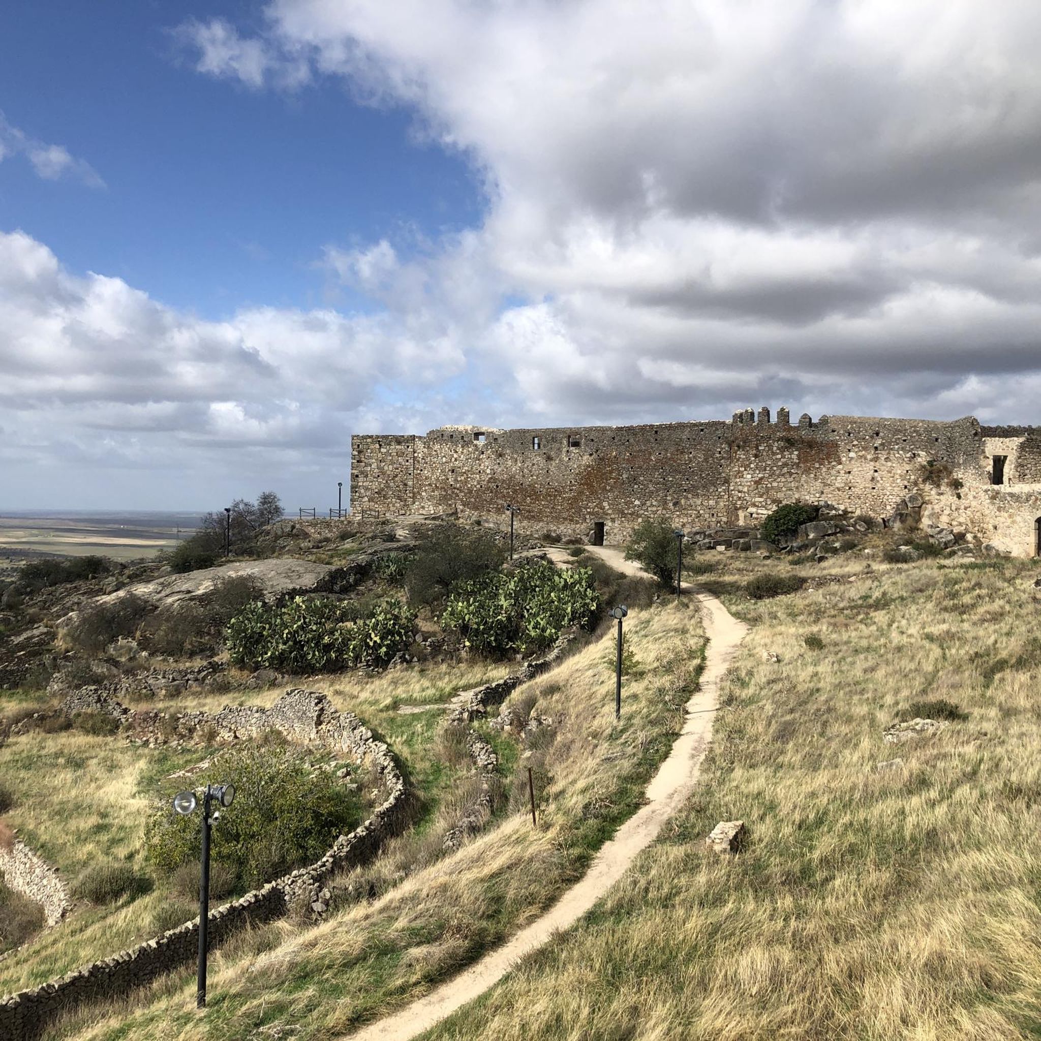
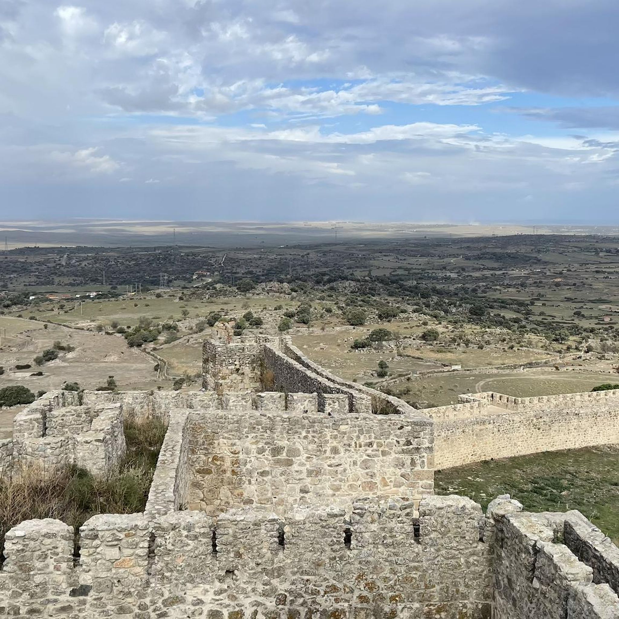
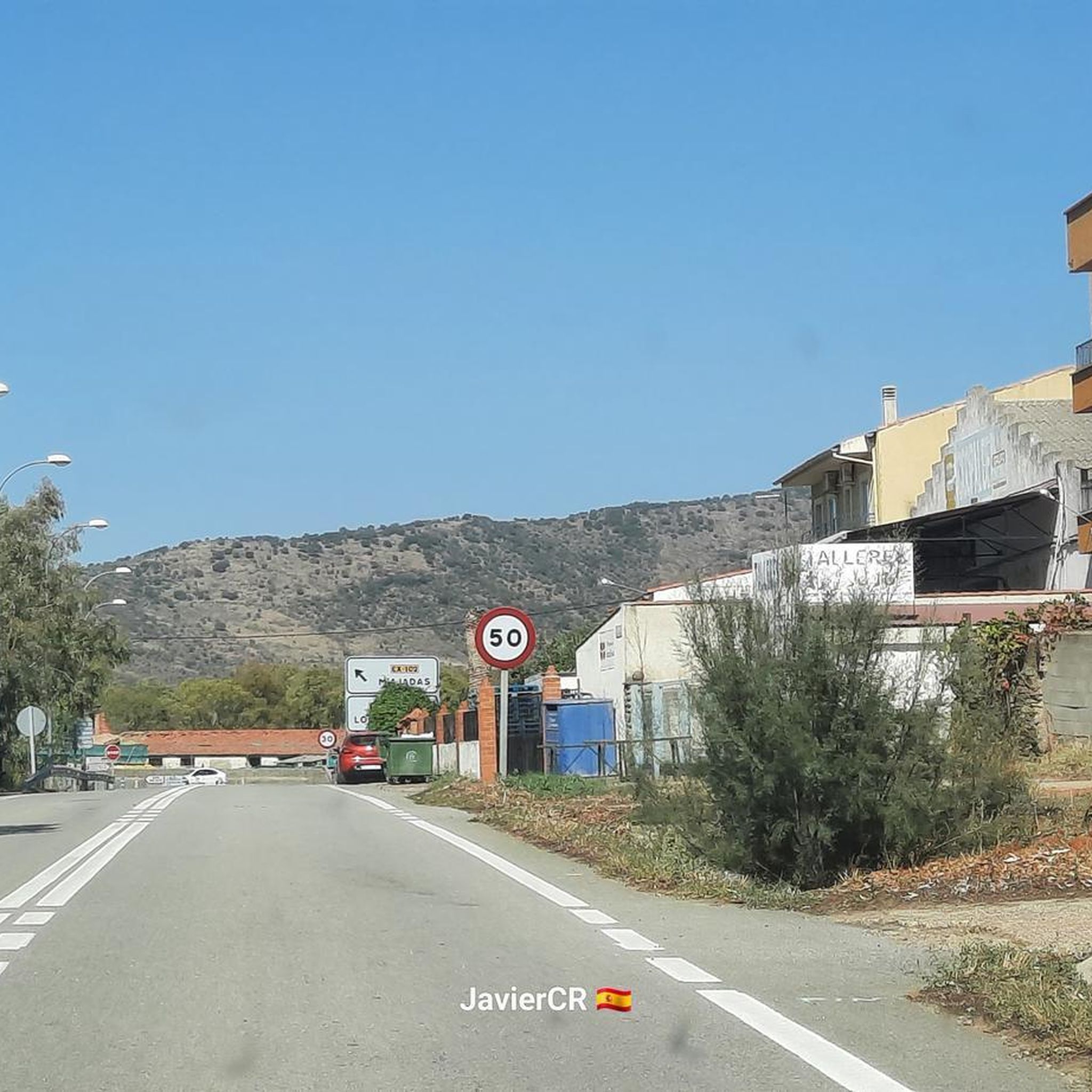

Tips from the Community

The San Gregorio cliff has a height of 844m and is considered to be the best window to observe the environment. One of its great potentials is that it offers the visitor enormous views, being able to see on clear days an interesting perspective of the distant Gredos mountains.
10
0

Logrosán is a small town in the Villuercas-Ibores-Jara region close to the border with the province of Badajoz. The most remarkable monument of the town is the Church of San Mateo from the 16th century. You can also visit the underground tin mines for which the town was known in the second half of the 19th century.
1
0

Old water pipes for the town of Santa Cruz de la Sierra. They stopped being used around the 16th century due to a lack of agreement on their maintenance.
1
0

An ideal place to visit especially on hot days and that you can take advantage of to cool off in its waters. There are not many trees in the area but right here you will find some that will provide shade for the oppressive summer days.
1
1
Frequently Asked Questions
How many hiking trails are there in Zorita?
There are 9 hiking trails around Zorita, offering a range of options from easy strolls to more challenging loops. You'll find 2 easy routes, 6 moderate, and 1 difficult trail.
Are there easy hiking trails suitable for beginners in Zorita?
Yes, Zorita offers 2 easy hiking routes. A great option for beginners is the Sierra Brava Reservoir Trail, which is 2.7 miles (4.3 km) long and takes about 1 hour 9 minutes to complete, offering pleasant views along the water.
What is the typical length and duration of hikes around Zorita?
Hikes around Zorita vary in length and duration. Easy trails like the Sierra Brava Reservoir Trail are around 2.7 miles (4.3 km) and take just over an hour. Moderate loops can range from 4.9 miles (7.9 km) to nearly 8.6 miles (13.87 km), with durations between 2.5 to 4 hours, depending on the route and your pace.
Are there any circular walks available in Zorita?
Yes, many of the trails around Zorita are circular, providing convenient starting and ending points. Examples include the Hiking loop from Santa Cruz de la Sierra and the Hiking loop from Puerto de Santa Cruz, both offering varied terrain and scenic views.
What kind of views or landmarks can I expect to see on hikes in Zorita?
Hiking around Zorita offers diverse scenery. You can expect water views around reservoirs like Sierra Brava and Embalse de Moruelos. Trails also lead to elevated points such as Peña del Castillo, providing panoramic vistas. Keep an eye out for local wildlife and birdwatching opportunities, including stork nests, and visit the Birdwatching viewpoint.
Are there any family-friendly hiking options in Zorita?
For families, the easier routes are generally best. The Sierra Brava Reservoir Trail is a good choice, being relatively flat and offering open views. For a slightly longer but still manageable option, consider parts of the Vía Verde Vegas del Guadiana, which is a converted railway line suitable for walking and cycling.
What do other hikers enjoy most about hiking in Zorita?
The hiking trails in Zorita are highly rated by the komoot community, with an average score of 5.0 stars. Hikers often praise the diverse landscapes, from tranquil reservoir paths to rural tracks and moderate hill climbs, and the well-maintained routes that cater to different ability levels.
Are there any advanced or more challenging hikes around Zorita?
Yes, for those seeking a greater challenge, there is 1 difficult trail among the 9 routes in Zorita. Additionally, several moderate routes, such as the Embalse de Moruelos loop from Garciaz, offer longer distances (13.87 km) and significant elevation gain, providing a more strenuous experience.
What is the best time of year to hike in Zorita?
The best time to hike in Zorita is typically during the spring (March to May) and autumn (September to November) when temperatures are milder and the landscape is vibrant. Summers can be very hot, making early mornings or late afternoons preferable if hiking during that season. Winters are generally mild, but some routes might be muddy after rain.
Are there any places to explore or points of interest near the hiking trails?
Beyond the trails themselves, you can explore several points of interest. The region is known for its reservoirs, which are great for birdwatching. You can also find sections of the Vía Verde Vegas del Guadiana, a greenway perfect for leisurely walks or cycling, and observe stork nests in the area.
Is there public transport available to reach hiking trails in Zorita?
Public transport options directly to trailheads in Zorita can be limited. It is generally recommended to use a car to access the starting points of most hiking routes, especially those further from the main towns. Check local bus schedules for connections to Zorita itself, but onward travel to specific trailheads might require a taxi or personal vehicle.
Where can I find parking for hiking trails in Zorita?
Parking is typically available near the starting points of the main hiking routes, especially in or near the villages like Zorita, Santa Cruz de la Sierra, or Garciaz. Look for designated parking areas or suitable roadside spots where allowed. It's always advisable to arrive early, especially on weekends, to secure a spot.
Most popular attractions around Zorita

Get inspired with the komoot mobile app


Explore more
Browse the best Hikes in other regions.
