The best road cycling routes around Lapoblación
4.8
(6)
696
riders
23
rides
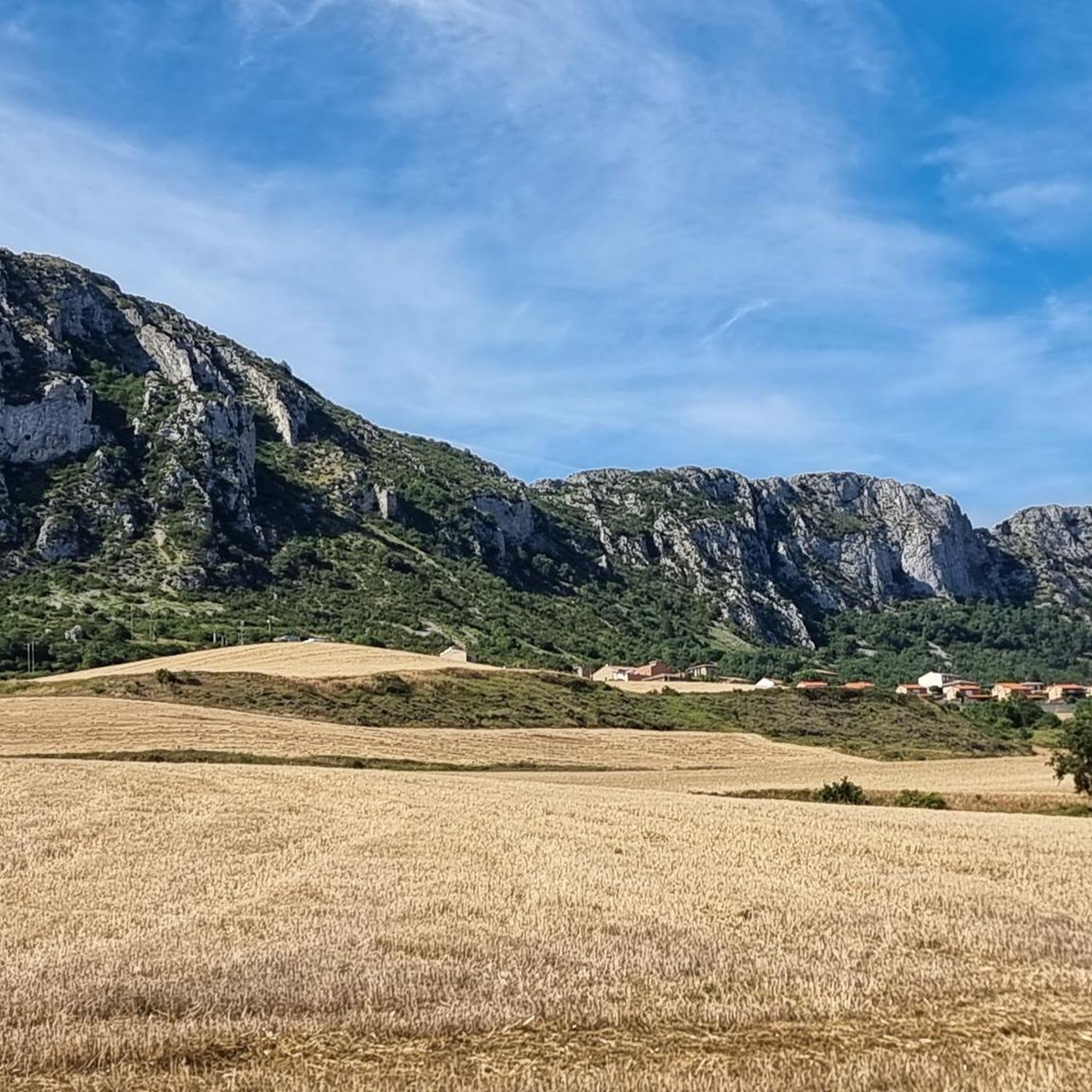
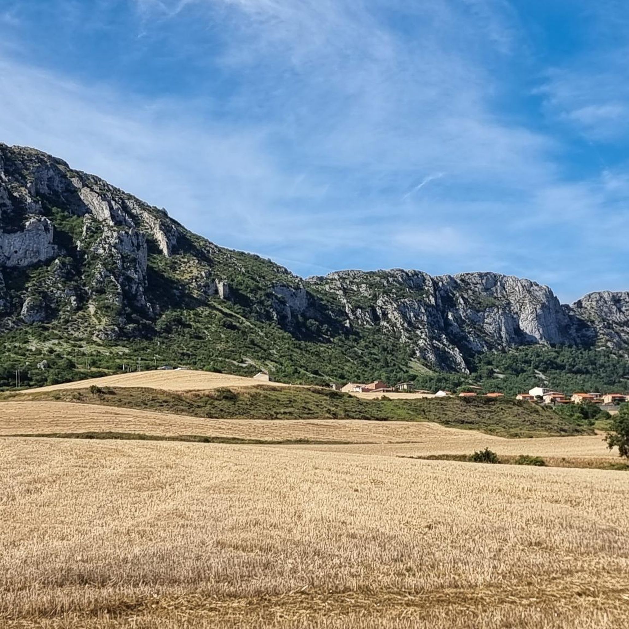
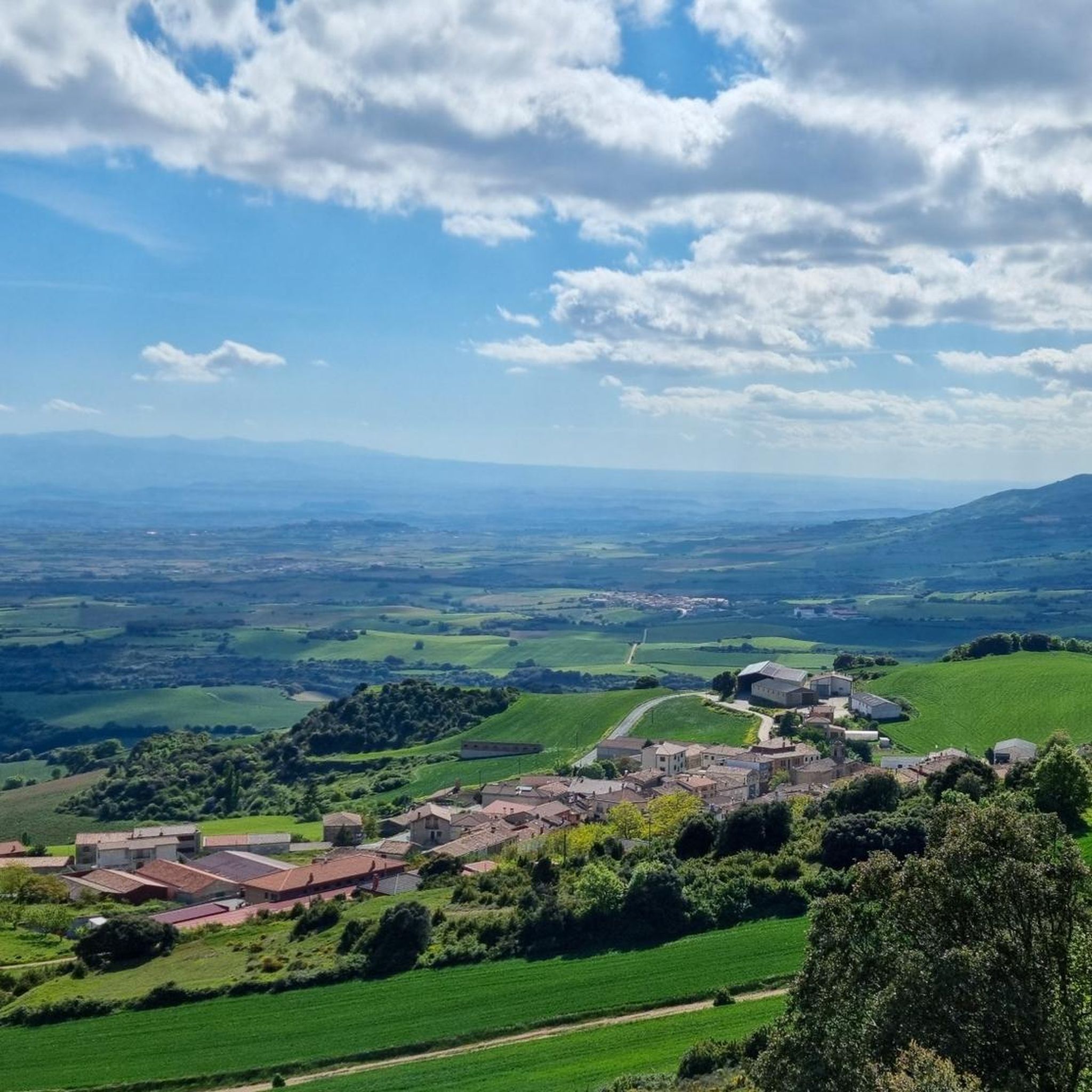
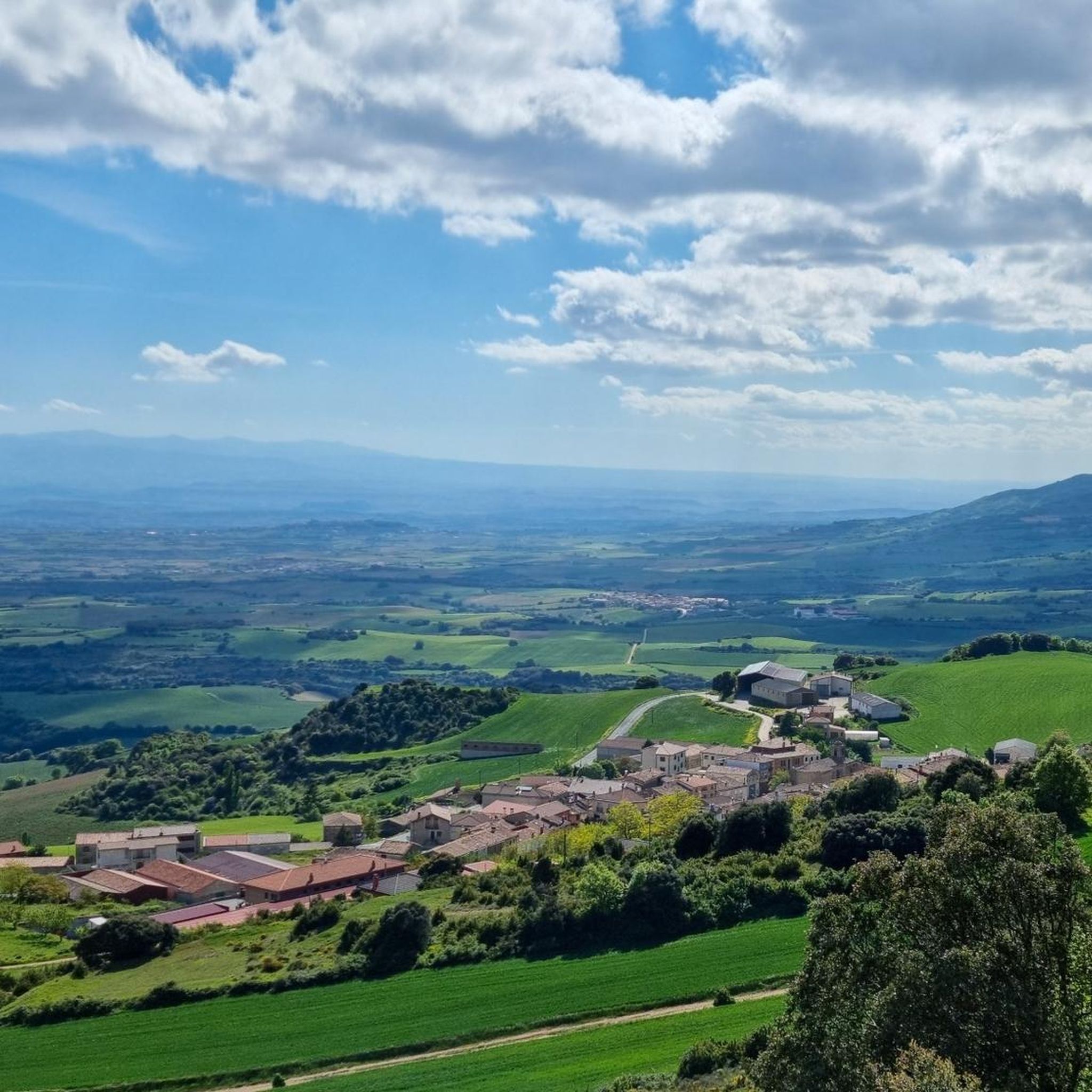
Road cycling routes around Lapoblación offer diverse terrain within the Foral Community of Navarra, Spain. The region is characterized by its strategic location at 961 meters altitude, featuring both gentle hills and more demanding ascents. Cyclists can navigate well-maintained minor roads with low traffic, winding through picturesque rural environments, agricultural plains, and dense forests. The landscape is further defined by dramatic gorges and distinctive gray limestone ridges, providing varied scenery for road cyclists.
Best road cycling routes around Lapoblación
- The…
Last updated: July 12, 2026
118
riders
129km
06:16
1,840m
1,840m
Hard road ride. Very good fitness required. Mostly well-paved surfaces and easy to ride.
62
riders
43.3km
02:08
630m
630m
Moderate road ride. Good fitness required. Mostly well-paved surfaces and easy to ride.

Sign up for free
58
riders
113km
06:13
2,170m
2,170m
Hard road ride. Very good fitness required. Some segments of this route may be unpaved and difficult to ride.
54
riders
77.4km
03:47
1,110m
1,110m
Hard road ride. Very good fitness required. Some segments of this route may be unpaved and difficult to ride.
5.0
(1)
37
riders
32.6km
01:46
610m
610m
Moderate road ride. Good fitness required. Mostly well-paved surfaces and easy to ride.
Get access to more routes and recommendations from other explorers.
Sign up for free
Already have an account?
Our route recommendations are based on thousands of hikes, rides, and runs completed by other people on komoot.
Start today with a free account
Your next adventure awaits.
Login or Signup

Tips from the Community

One of the toughest, if not the toughest, mountain passes in Álava. Cantabrian Mountains. Natural border with La Rioja.
1
0
A 5 or 6 percent gradient. Smooth straights with good pavement, but heavy traffic. The descent to Ventas de Armentia is a treat.
1
0
Alava mountains. Road from Lagran with good climbs, shade and good asphalt.
2
0

The Church of Santa María de la Asunción is a parish church in the historic center of the municipality of Navarrete (La Rioja). The Renaissance-style church is located in the highest area of the town. One of the church's notable elements is the Baroque-style main altar. [2] The church has a three-aisled floor plan.
0
0
Stone Bridge. One of four bridges in Logroño that cross the Ebro River. It is also called the Bridge of San Juan de Ortega. The current structure was built in 1884 after the collapse of the previous bridge in 1871.
0
0

From here you can see the ruins of the Mantible bridge, probably medieval (not Roman) that once connected El Cortijo with Assa. Only two arches remain standing, one of them recently rebuilt as it collapsed during the pandemic.
0
0
Easy climb by road. Lots of traffic in both directions. You can also climb from GAZTELU on GRAVEL.
2
0

It's always amazing what huge churches were built in these small towns along the Camino. It's definitely worth taking a look inside the church.
2
0
Frequently Asked Questions
How many road cycling routes are available around Lapoblación, and what are their difficulty levels?
There are over 28 road cycling routes around Lapoblación. These include 2 easy routes, 15 moderate routes, and 11 difficult routes, offering options for various skill levels.
What kind of terrain can I expect when road cycling around Lapoblación?
The terrain around Lapoblación is diverse, featuring both gentle hills and more demanding ascents. You'll cycle through picturesque rural environments, agricultural plains, and dense forests. The landscape is also characterized by dramatic gorges and distinctive gray limestone ridges, providing varied and scenic routes.
Are there any notable landmarks or natural features to see along the road cycling routes near Lapoblación?
Yes, the region offers several points of interest. You can encounter historical sites like Viana Old Town or the unique architecture of Bodegas Ysios. Natural features include the prominent Sleeping Lion Peak (Peña Lapoblación), which offers panoramic views, and the Izki Gorge Viewpoint. The village itself, Lapoblación Village, is a medieval settlement with historical charm.
What is the best time of year for road cycling in Lapoblación?
Lapoblación is situated at 961 meters altitude, offering a pleasant environment. While specific seasonal data isn't provided, the region's 'amazingly green' hills suggest spring and early summer are ideal for enjoying the lush landscapes. Autumn would also be beautiful with changing foliage. Summers are generally warm, and winters can be cooler due to the altitude.
Are there any family-friendly road cycling routes around Lapoblación?
While many routes offer varied terrain, the region is known for well-maintained minor roads with low traffic, which can be suitable for families. For easier rides, look for routes categorized as 'easy' or 'moderate' that avoid significant elevation gains. There are 2 easy routes and 15 moderate routes available, which may include options suitable for families.
Where can I find parking for road cycling routes in Lapoblación?
Lapoblación is a small village, and parking is generally available within or near the village center. Many routes start from nearby towns like Lanciego / Lantziego or Obecuri, where you can typically find local parking facilities. It's advisable to check local signage upon arrival.
Are there any circular road cycling routes available?
Yes, many of the routes around Lapoblación are designed as loops. For example, the difficult Logroño Stone Bridge – Logroño loop from Lanciego / Lantziego and the moderate Stone Bridge, Logroño – Oyón-Oion loop from Lanciego / Lantziego are popular circular options.
What do other road cyclists enjoy most about road cycling in Lapoblación?
The area is highly rated by the komoot community, with an average score of 5.0 stars from 3 reviews. Cyclists often praise the diverse terrain, from gentle hills to challenging ascents, and the scenic routes that wind through picturesque rural environments, green hills, and distinctive limestone ridges.
Can I access Peña Lapoblación (Sleeping Lion Peak) by road bike?
While Peña Lapoblación, also known as León Dormido, is a prominent natural feature offering panoramic views, the ascent to the peak itself is typically a hiking trail through beech forests. Road cycling routes will likely offer views of the peak and traverse the surrounding areas, such as the Puerto de La Aldea – Puerto de la Aldea Climb loop from Obecuri, but direct road bike access to the summit is not generally available.
Are there cafes or accommodation options for cyclists in Lapoblación or nearby villages?
Lapoblación is a small village, but its historical charm suggests local amenities. For more extensive services, nearby towns and villages in the wider Navarra region, known for its cycling network, will offer cafes, restaurants, and accommodation suitable for cyclists. The region is well-equipped to cater to outdoor enthusiasts.
What is the longest road cycling route available around Lapoblación?
The longest road cycling route listed is the difficult Logroño Stone Bridge – Logroño loop from Lanciego / Lantziego, which covers 81.1 miles (130.5 km) and typically takes about 6 hours and 15 minutes to complete.
What is the most challenging road cycling route in the area?
Among the difficult routes, the Puerto de La Aldea – Peñacerrada loop from Lanciego / Lantziego is a notable challenge, covering 70.3 miles (113.2 km) with significant elevation gain, often completed in about 6 hours and 13 minutes. The Logroño Stone Bridge – Logroño loop from Lanciego / Lantziego is also a difficult option with substantial elevation.
Most popular routes around Lapoblación
Most popular attractions around Lapoblación

Get inspired with the komoot mobile app


Explore more
Browse the best Road cycling routes in other regions.
