The best MTB trails around Toril Y Masegoso
4.4
(5)
57
riders
18
rides
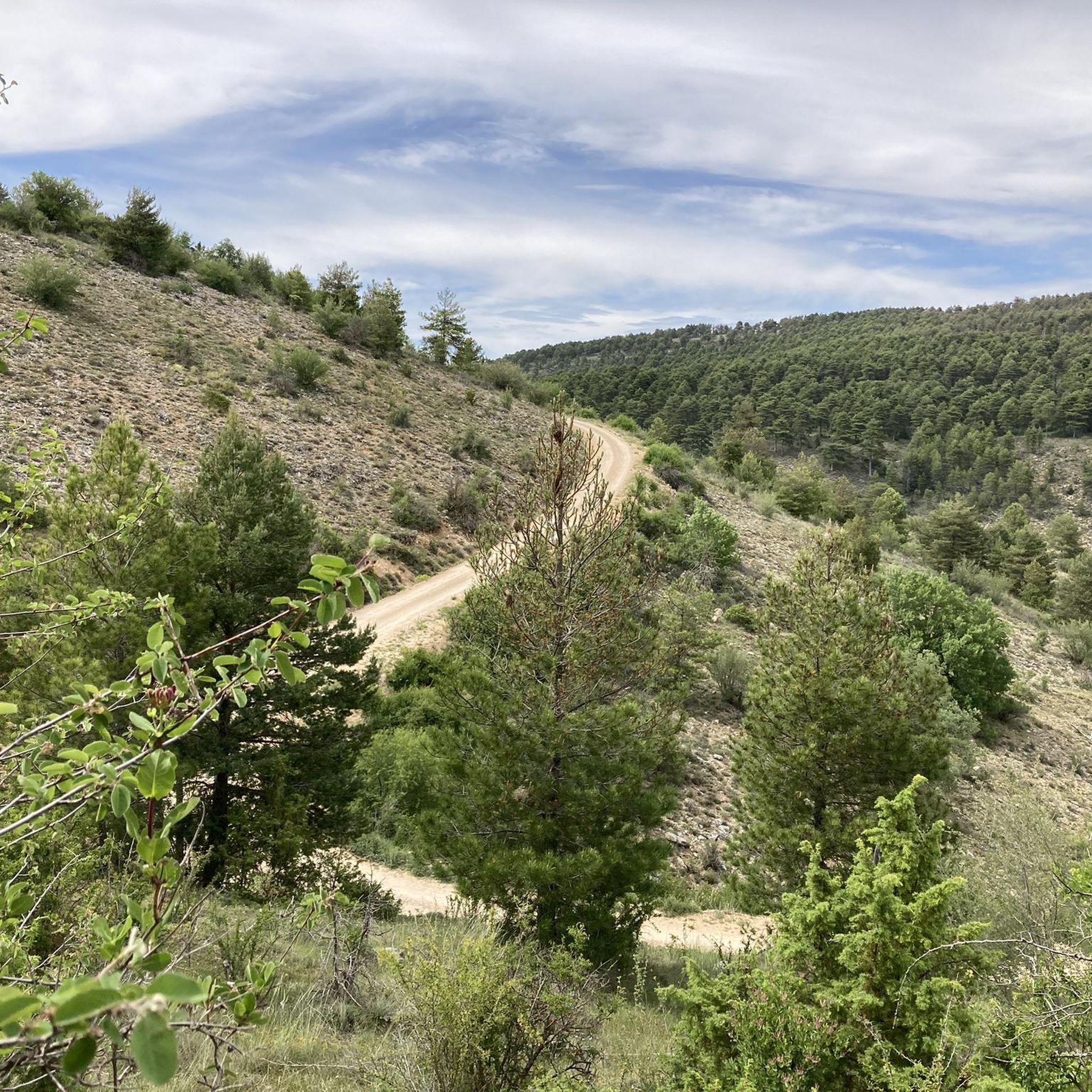
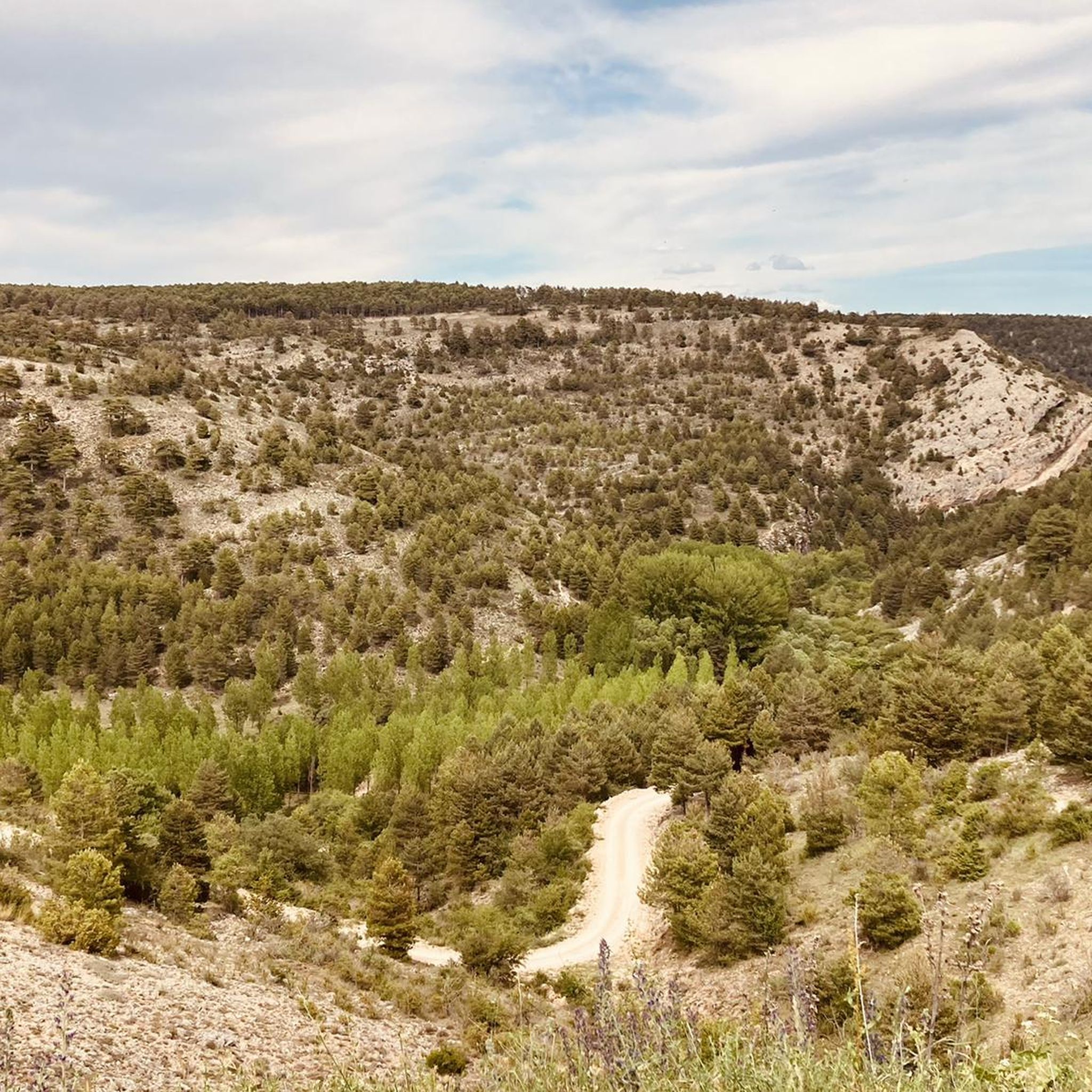
Mountain bike trails around Toril y Masegoso are set within the Sierra de Albarracín, offering diverse mountainous landscapes. The region is characterized by extensive pine forests, including black pine, Scots pine, and savin juniper, which contribute to its rich biodiversity. Its varied topography, encompassing different bioclimatic zones, provides a range of trails suitable for various skill levels. Natural features like water sources, geological formations, and viewpoints such as Punta Rayo enhance the riding experience.
Best mountain bike trails around Toril…
Last updated: July 8, 2026
4.5
(2)
3
riders
26.2km
02:34
550m
550m
Moderate mountain bike ride. Good fitness required. Advanced riding skills necessary.
31.0km
02:53
590m
590m
Moderate mountain bike ride. Good fitness required. Advanced riding skills necessary.

Sign up for free
2
riders
29.4km
02:41
640m
640m
Moderate mountain bike ride. Good fitness required. Advanced riding skills necessary.
24
riders
47.9km
05:03
1,290m
1,300m
Hard mountain bike ride. Very good fitness required. Suitable for all skill levels.
3.0
(1)
10
riders
56.7km
05:21
1,240m
1,230m
Hard mountain bike ride. Very good fitness required. Advanced riding skills necessary.
Get access to more routes and recommendations from other explorers.
Sign up for free
Already have an account?
Our route recommendations are based on thousands of hikes, rides, and runs completed by other people on komoot.
Start today with a free account
Your next adventure awaits.
Login or Signup
Tips from the Community

Just as we leave Zafrilla heading towards the mountains, as well as leaving the asphalt road, we cross a ford of the village stream, along whose bank lies a stone bridge of possible Roman origin, although it is more likely of later date, but it is striking for its design and its fairly good state of preservation. It is currently closed to vehicle traffic.
7
0
We're in the town of Zafrilla, and in the lower part of the village, there's a spring or fountain near some old washhouses where women used to go to wash clothes. These are now preserved as a reminder of the past, although no one goes there to wash clothes anymore. There are also barbecues for spending a day outdoors.
8
0

The Cascada de la Herrería is a natural gem located in the Sierra de Albarracín, near the town of El Vallecillo. This beautiful waterfall, also known as the “Hidden Waterfall,” has a drop of approximately 8 meters over the Cabriel River. To reach the waterfall, you can follow a hiking route that begins in El Vallecillo. The route is short, just half a kilometer, and takes you through a varied and picturesque landscape. During the walk, you will also be able to see the natural springs known as the Ojos del Cabriel, which feed the river and the waterfall.
6
0

Beautiful waterfall that can be reached as the end point of the route that begins in El Vallecillo and passes through the eyes of Cabriel. However, due to its proximity to the road, it is common to see many people who come exclusively to visit it.
2
1
During the descent of the final section, you have to be careful because the ground is always wet and slippery.
2
0
In autumn, in addition to the springs, you can enjoy the changing color of the trees.
1
0

It is worth visiting this remote site where tranquility reigns. A beautiful and picturesque landscape that is covered following a gravel road without difficulty that allows us to appreciate the gorges of the Zafrilla river.
2
0

We are in Jabaloyas, a town located in the Sierra de Albarracín and at the foot of Mount Javalón. In the province of Teruel it is known as the town of witches and offers us beautiful landscapes of pine trees, limestone rocks and water sources that make this environment a special place for lovers of two wheels.
1
0
Frequently Asked Questions
How many mountain bike trails are available in Toril y Masegoso?
There are over 15 mountain bike trails around Toril y Masegoso, offering a variety of experiences for different skill levels. You'll find routes ranging from moderate to difficult.
What kind of terrain can I expect on mountain bike trails in Toril y Masegoso?
The terrain in Toril y Masegoso is characterized by diverse mountainous landscapes and extensive pine forests, including black pine, Scots pine, and savin juniper. You can expect varied topography with challenging ascents and rewarding descents, making it ideal for mountain biking.
Are there mountain bike trails suitable for beginners or less experienced riders?
While there are no trails specifically classified as 'easy' in our current selection, the region offers 13 moderate routes. These trails provide a good balance of challenge and accessibility for those with some mountain biking experience. For example, the Ojos de Cabriel - Cascada de la Herrería y del Molino de San Pedro — circular desde El Vallecillo is a moderate 16.3-mile route that explores water features.
What are some notable natural features or viewpoints I can see along the mountain bike trails?
Many trails offer access to stunning natural features. You can encounter picturesque water features like Ojos del Cabriel, Herrería Waterfall, and San Pedro Mill Waterfall. For panoramic views, look for routes that pass by viewpoints such as Alto de la Cruz (Peña Botadera) Lookout, or consider exploring areas like Punta Rayo, known for its vistas at 1689 meters altitude.
Are there any circular mountain bike routes in the area?
Yes, many of the mountain bike routes in Toril y Masegoso are circular, allowing you to start and end at the same point. A popular option is the Montes Universales — vuelta desde el Camping Algarbe, a moderate 19.3-mile loop.
What is the best time of year for mountain biking in Toril y Masegoso?
The region's varied bioclimatic zones suggest that spring and autumn are generally ideal for mountain biking, offering pleasant temperatures and vibrant natural scenery. Summer can be warm, especially at lower altitudes, while winter may bring colder conditions and potential snow in higher mountainous areas.
What do other mountain bikers enjoy most about the trails in Toril y Masegoso?
The mountain bike trails in Toril y Masegoso are highly rated by the komoot community, with an average score of 4.4 stars from over 5 reviews. Riders often praise the extensive pine forests, the challenging mountainous terrain, and the rewarding panoramic viewpoints.
Are there any longer, more challenging mountain bike routes for experienced riders?
Yes, for experienced riders seeking a greater challenge, there are 5 difficult routes available. One such route is the Picnic Area with Barbecues – Jabaloyas loop from Jabaloyas, which covers nearly 30 miles with significant elevation changes.
Can I find mountain bike routes that pass through specific natural reserves or protected areas?
The region's natural heritage is highlighted by its inclusion in two Sites of Community Importance (LICs): Valdecabriel - Las Tejeras and Cuenca del Ebrón. Many trails traverse these areas, allowing you to experience the rich biodiversity and well-preserved natural features, including the extensive pine forests of Umbría Negra.
What is the typical duration of mountain bike trails in Toril y Masegoso?
The duration of trails varies depending on their length and difficulty. For example, a moderate route like Monte Javalón y Ermita de San Cristóbal — circular por la Sierra de Albarracín desde Jabaloyas, which is 18.2 miles long, typically takes around 2 hours and 41 minutes to complete. Longer, more difficult routes can take significantly longer.
Are there any trails that feature geological formations?
Yes, the landscape includes interesting geological formations such as Barranco de Arroyofrío and Sima el Cañigral, which add to the rugged and exploratory appeal of the area. While specific routes passing directly through these may vary, the overall mountainous terrain offers a rich geological experience.
Most popular attractions around Toril Y Masegoso

Get inspired with the komoot mobile app


Explore more
Browse the best MTB trails in other regions.
