The best walks and hikes around María
4.5
(62)
290
hikers
13
hikes
Hiking around María offers access to the Sierra María-Los Vélez Natural Park, characterized by mountainous terrain and diverse ecosystems. The region features pine forests, high-altitude plateaus, and rocky outcrops, providing varied landscapes for outdoor activities. Elevation changes are common, with trails ascending to viewpoints and through valleys. The area is suitable for hikers seeking natural environments with distinct geological formations.
Best hiking trails around María
- The most popular hiking route is Alto de la Burrica Loop from María, a 12.7 miles (20.4 km) trail that takes 6 hours 28 minutes to complete. This difficult route features significant elevation gain through mountainous terrain.
- Another top favourite among local hikers is Collado de Portalchico loop from Los Vélez, a moderate 9.5 miles (15.3 km) path. This trail navigates through varied landscapes, including ascents to a mountain pass.
- Local hikers also love the Puntal del Morral Viewpoint loop from SL-A 108 Pinar de la Alfahuara, a 5.3 miles (8.6 km) trail leading through pine forest, often completed in about 2 hours 29 minutes.
- Hiking around María is defined by mountainous paths, pine forests, and elevated viewpoints. The network offers options for different ability levels, from moderate walks to more challenging ascents.
- The routes in María are highly rated by the komoot community with an average score of 4.6 stars from over 50 reviews. More than 240 hikers have used komoot to explore María's varied terrain.
Last updated: October 10, 2026
4.8
(5)
32
hikers
20.4km
06:29
850m
860m
Hard hike. Very good fitness required. Easily-accessible paths. Suitable for all skill levels.
3.3
(3)
29
hikers
15.3km
04:58
690m
690m
Moderate hike. Good fitness required. Easily-accessible paths. Suitable for all skill levels.

4.8
(4)
22
hikers
16.4km
05:10
680m
680m
Hard hike. Very good fitness required. Easily-accessible paths. Suitable for all skill levels.
4.8
(4)
19
hikers
8.59km
02:29
220m
230m
Moderate hike. Good fitness required. Easily-accessible paths. Suitable for all skill levels.
4.8
(6)
32
hikers
13.2km
03:45
290m
290m
Moderate hike. Good fitness required. Easily-accessible paths. Suitable for all skill levels.
Get access to more routes and recommendations from other explorers.
Already have an account?
Our route recommendations are based on thousands of hikes, rides, and runs completed by other people on komoot.
Start today with a free account
Your next adventure awaits.

Tips from the Community


Collado de Portalchico is located in the Sierra de María, within the Sierra María-Los Vélez Natural Park, in the province of Almería. This hill is located at an altitude of 1880 meters and offers impressive panoramic views both to the north and south of the mountain range. To reach Collado de Portalchico, you can follow a hiking route that starts from the Ermita de la Virgen de la Cabeza and passes through the Umbría de la Virgen Botanical Garden. The route is challenging but rewarding, and will allow you to enjoy the natural beauty of the region.
6
0
The hermitage is dedicated to the Virgen de la Cabeza, a highly venerated figure in the region. It is an ideal place to enjoy the tranquility and beauty of the landscape while connecting with spirituality and local history.
6
0
The Umbría de la Virgen Botanical Garden is located on the northern slope of the Sierra de María, in the Sierra María-Los Vélez Natural Park, in the province of Almería. This botanical garden is part of the Andalusian Network of Botanical and Mycological Gardens in Natural Spaces. It is an ideal place to appreciate the flora and vegetation of the region in a comfortable and pleasant way.
6
0

More information can be found here: https://www.juntadeandalucia.es/medioambiente/portal/web/ventanadelvisitante/detalle-buscador-mapa/-/asset_publisher/Jlbxh2qB3NwR/content/id/5179874/pop_up
1
0

Idyllic place for a picnic break
1
0

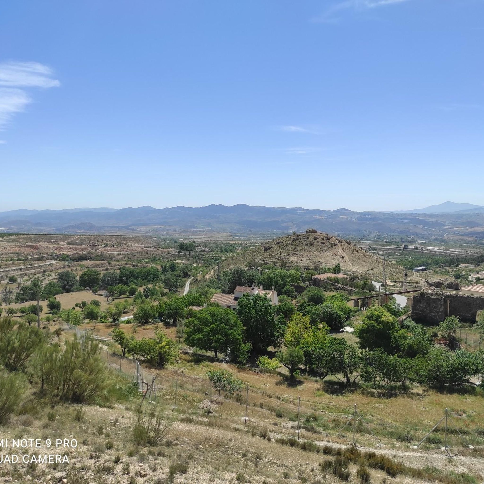
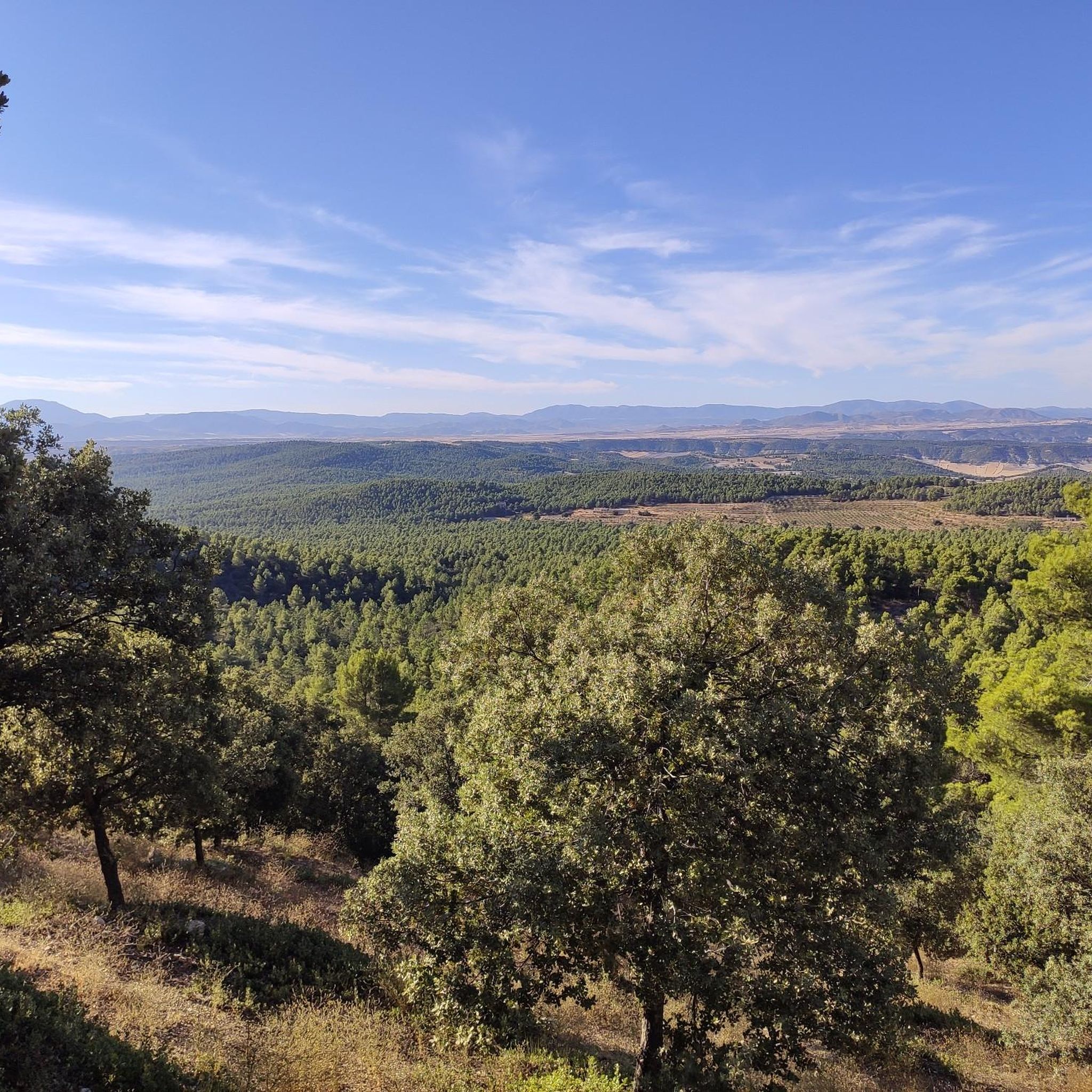
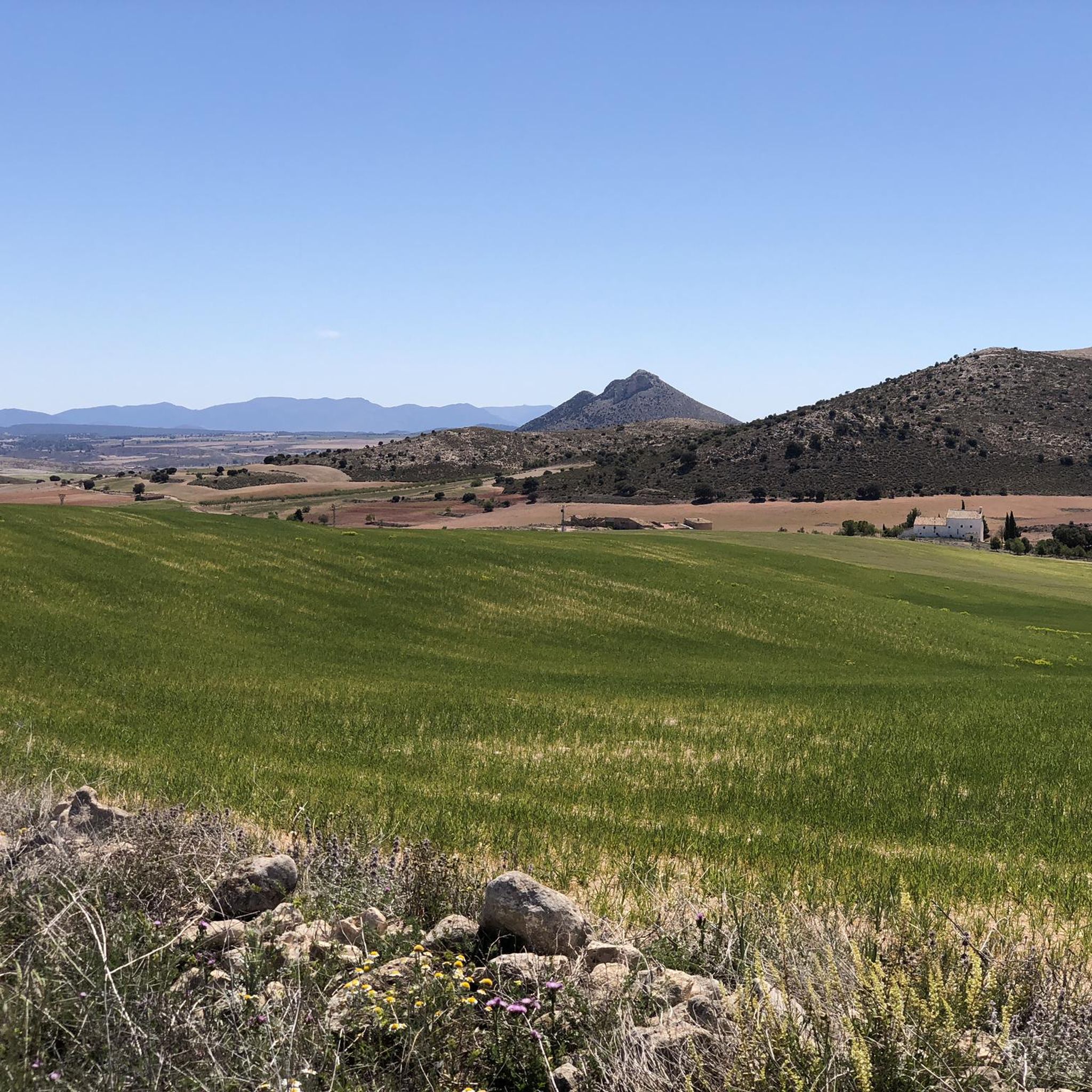
From the Puntal del Morral viewpoint, the views are simply spectacular. In the foreground, the green of the pine forest is revealed, which gives way, below, to the yellow and brown plain. To the south you can see the bare cliffs of Punta del Morral, the Sierra de María and the Peñón del Guarda.
0
0
María enjoys a privileged location at the foot of the Sierra de María-Los Vélez natural park. This town of white houses and red roofs is surrounded by peaks and slopes, as well as olive, almond and lavender orchards.
1
0
Frequently Asked Questions
What kind of terrain can I expect on hiking trails around María?
Hiking around María primarily features mountainous terrain within the Sierra María-Los Vélez Natural Park. You'll encounter diverse ecosystems, including pine forests, high-altitude plateaus, and rocky outcrops. Elevation changes are common, with trails ascending to various viewpoints and traversing valleys.
Are there easy hiking trails suitable for beginners in María?
Yes, María offers a good selection of trails suitable for beginners. Out of the 36 available routes, 11 are classified as easy. These trails provide a gentler introduction to the region's natural beauty without significant elevation challenges.
What are some challenging hikes for experienced trekkers in María?
For experienced trekkers seeking a challenge, María has several difficult routes. One notable option is the Alto de la Burrica Loop from María, a 12.7-mile (20.4 km) trail with significant elevation gain, typically taking over 6 hours to complete. Another challenging route is the Collado de Portalchico loop from María, covering 16.9 km with substantial ascents.
Are there any circular hiking routes in María?
Yes, many of the trails around María are circular, allowing you to start and end at the same point. For example, the Puntal del Morral Viewpoint loop from SL-A 108 Pinar de la Alfahuara is a popular 5.3-mile (8.6 km) circular trail through pine forests, offering scenic views.
What landmarks or viewpoints can I discover on hikes in María?
Hiking trails in María lead to several interesting landmarks and viewpoints. You can visit the Caños de Caravaca Fountain, enjoy panoramic vistas from the View of Sierra de María, or reach the Puntal del Morral Viewpoint. The Cave of the Inscriptions also offers a unique point of interest.
What do other hikers enjoy most about the trails in María?
The hiking trails in María are highly rated by the komoot community, with an average score of 4.6 stars from over 50 reviews. Hikers often praise the diverse landscapes, including mountainous paths, serene pine forests, and the rewarding elevated viewpoints. The variety of routes catering to different ability levels is also frequently highlighted.
Are there family-friendly hiking options in María?
While the region is known for its mountainous terrain, there are family-friendly options among the 11 easy routes available. These trails are generally shorter and have less elevation gain, making them suitable for families with children. Always check the specific route details for distance and elevation to ensure it matches your family's capabilities.
Is María a dog-friendly hiking destination?
The Sierra María-Los Vélez Natural Park is generally welcoming to dogs, but it's always recommended to keep your dog on a leash, especially in areas with wildlife or livestock. Check individual trail regulations for any specific restrictions, and ensure you carry enough water for both yourself and your pet.
Where can I find parking for hiking trails around María?
Specific parking information varies by trailhead. Many routes, especially those starting from the town of María or other access points within the Sierra María-Los Vélez Natural Park, will have designated parking areas. It's advisable to check the starting point details of your chosen route on komoot for precise parking recommendations.
What is the best time of year to go hiking in María?
The best time to hike in María, located in the Sierra María-Los Vélez Natural Park, is typically during the spring (April to June) and autumn (September to November). During these seasons, the weather is milder and more pleasant for outdoor activities, avoiding the intense heat of summer and potential snow in winter at higher elevations. Spring brings blooming wildflowers, while autumn offers beautiful fall colors.
Are there any cafes or pubs near the hiking trails in María?
The town of María itself, and other nearby villages within the Sierra María-Los Vélez Natural Park, offer local amenities including cafes and restaurants where you can refuel after your hike. While trails might not have facilities directly on them, you'll find options in the surrounding communities.
Most popular attractions around María

Get inspired with the komoot mobile app


Explore more
Browse the best Hikes in other regions.
