The best road cycling routes around Zújar
4.8
(10)
400
riders
41
rides
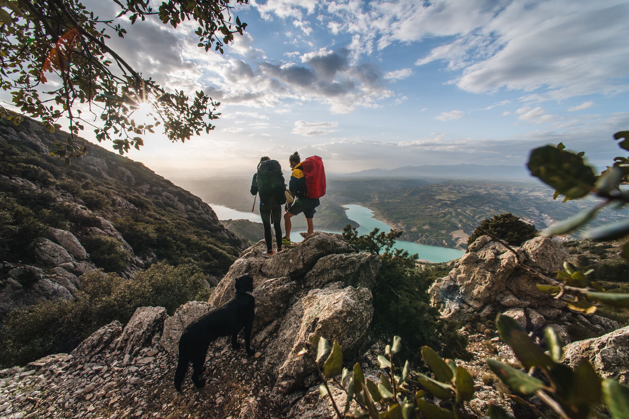
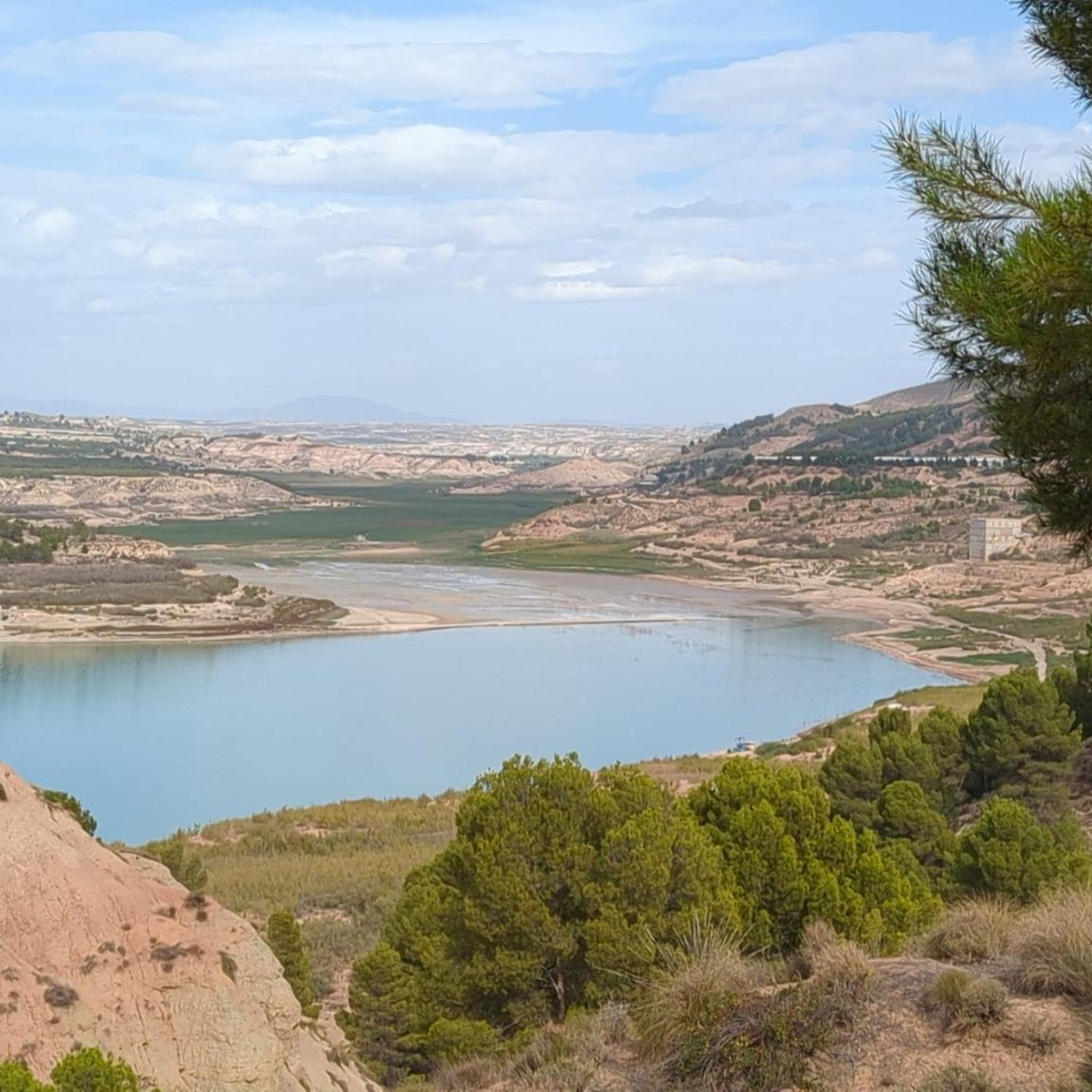
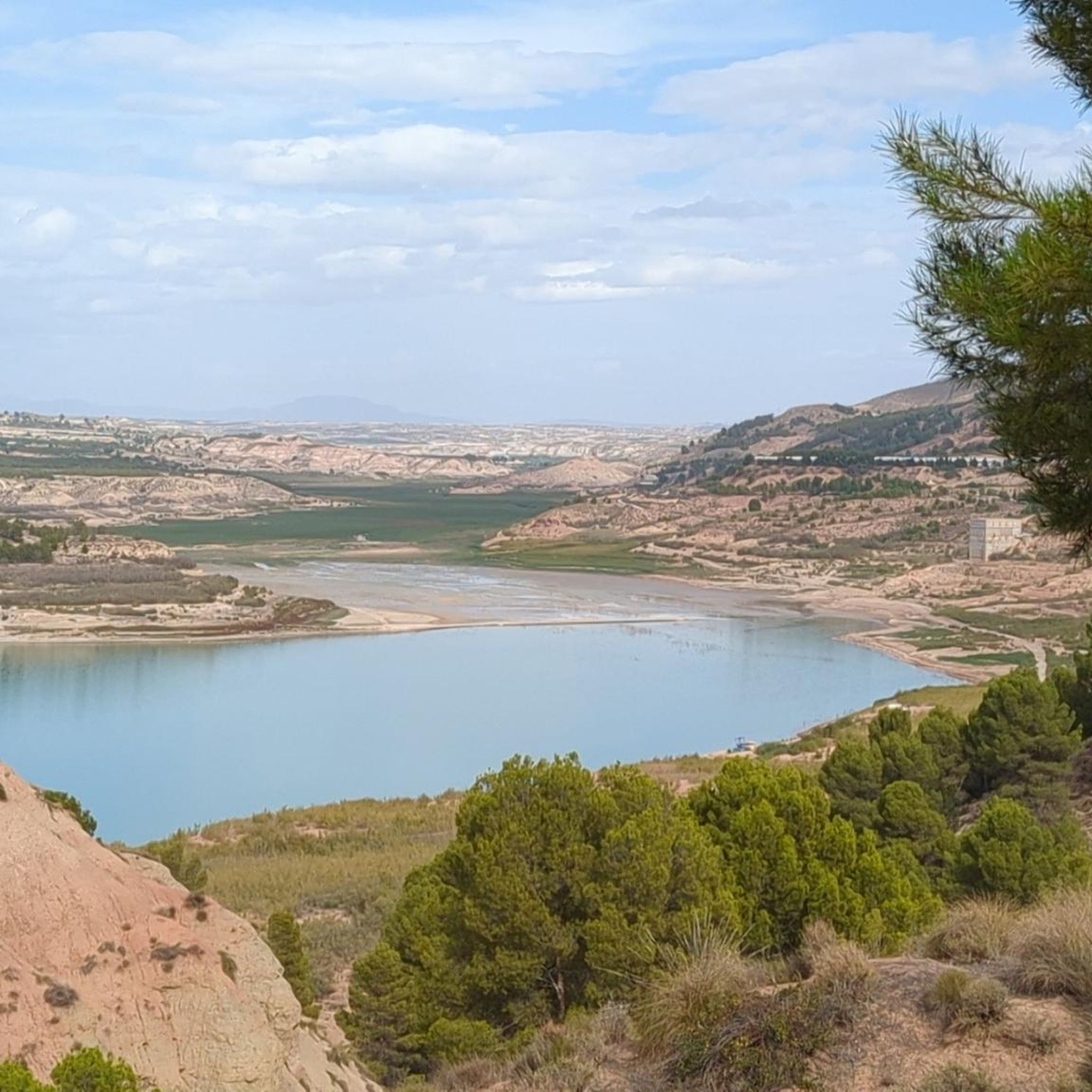
Road cycling around Zújar offers diverse landscapes, characterized by the tranquil waters of Lake Negratín, the challenging ascents of the Sierra de Baza, and undulating terrain. The region features a mix of paved surfaces and scenic routes through unique geological formations. Cyclists can explore routes that provide views of the reservoir and demanding mountain roads.
Best road cycling routes around Zújar
- The most popular road cycling route is Pico Jabalcón and Negratín Reservoir Loop, a 22.9 miles (36.9 km)…
Last updated: July 7, 2026
25
riders
36.9km
01:31
480m
480m
Cycle 23.0 miles (36.9 km) with 1567 feet (478 metres) of gain on this moderate racebike route near Baza, exploring the Geoparque de Granada
11
riders
62.9km
03:17
720m
720m
Cycle the moderate 39.1-mile Plain of the Caves of Campo route, enjoying turquoise Negratín Reservoir views and unique geological formations

Sign up for free
27
riders
76.5km
03:54
1,310m
1,310m
Hard road ride. Very good fitness required. Mostly well-paved surfaces and easy to ride.
23
riders
30.6km
01:39
490m
490m
Moderate road ride. Good fitness required. Some segments of this route may be unpaved and difficult to ride.
4.6
(9)
20
riders
76.3km
03:36
900m
900m
Hard road ride. Very good fitness required. Some segments of this route may be unpaved and difficult to ride.
Get access to more routes and recommendations from other explorers.
Sign up for free
Already have an account?
Our route recommendations are based on thousands of hikes, rides, and runs completed by other people on komoot.
Start today with a free account
Your next adventure awaits.
Login or Signup




Tips from the Community

The water level has rised so much that the pool has been swallowed by the water reservoir. So no bath posible, unless you go to the restaurants pool, but that is not the same experience.
0
0

Challenging gorge, very quiet and unknown in the middle of nature with beautiful views, intended for the real biker and hiker.
0
0
A spectacular route through the southeast of the peninsula between the highlands of Granada in the Baza area towards the Almendricos district, already in the Murcia region, and passes through the Almanzora Valley in Almería. A route that for decades crossed a railway line that transported tons of iron and other merchandise
1
0

It is the most important monument in the city. It was built in the Nasrid period between the 13th and 15th centuries and consists of a tower, two sections of wall, a cistern and a parapet next to it.
8
0

Baza is a city whose municipal area is the largest in the province of Granada, whose population centers depend on it: Baúl (where the section of the greenway begins), La Jamula and Benacebada.
6
0

Everything is going well until the Vía Verde draws a large arc towards the south, enters the large channel of the Rambla de Baza and the Caniles iron bridge appears. The central planks have disappeared and you have to walk carefully along the sides. A sign at the entrance to the bridge recommends the parallel lane to avoid unnecessary risks. The tall chimney of the old Nuestra Señora de las Mercedes sugar factory announces the arrival at the Caniles station, which had an important weight in railway trade from its inauguration, in 1894, until the middle of the 20th century, when the decline of the road that connected Andalusia and the Levant. The buildings have been restored and converted into the Geodiversity Interpretation Center of the Granada Altiplano. In Baza you have to leave the route of the Greenway and visit the historical complex, passing by the Fuente de los Caños Dorados, the Plaza Mayor, the Barrio de San Juan, the alleys of the Jewish quarter, the Old Butcher Shops, the Arrabal de Marzuela , even entering the Arab Baths, and taking the opportunity to have some local delicacies and recover energy for the rest of the stage.
0
0
The stage ends in Serón, a mountain town famous for drying hams, sausages, traditional sweets, cheeses, oil and other products of local gastronomy. The old train station is the best example of mining railway architecture on the Vía Verde Natural Trail of the Almanzora Valley, it has the passenger lobby building, with the characteristic British-style canopy, remains of the rails, loading docks, warehouses goods, rotating platform for trains, mineral loading, water tanks and garages. And it also has a modern planetarium and Interpretation Center. Local services are a couple of kilometers away from the road.
0
0

Bring lots of sunscreen
0
0
Frequently Asked Questions
How many road cycling routes are available around Zújar?
Zújar offers a diverse network of over 40 road cycling routes. These routes cater to various skill levels, with 3 easy, 17 moderate, and 20 difficult options, ensuring there's a suitable ride for every cyclist.
What is the best time of year for road cycling in Zújar?
The region around Zújar is generally favorable for road cycling for much of the year. Spring and autumn offer pleasant temperatures, while summer can be hot, making early morning or late afternoon rides preferable. Winter cycling is also possible, though some higher elevation routes might be colder.
Are there challenging road cycling routes with significant elevation gain in Zújar?
Yes, Zújar is known for its challenging routes, especially those venturing into the Sierra de Baza. Many routes feature substantial elevation gains, with some exceeding 1,000 meters of climbing. For example, the Baza – Historic Center of Baza loop from Baza includes over 1,300 meters of ascent, providing a demanding experience for experienced cyclists.
What kind of terrain can I expect on Zújar's road cycling routes?
You can expect a wide variety of terrain, from tranquil lakeside roads around Lake Negratín to demanding mountain ascents in the Sierra de Baza. The region features undulating landscapes with varied gradients, and most routes are on mostly paved surfaces, ideal for road bikes.
What do other road cyclists enjoy most about cycling in Zújar?
The road cycling routes around Zújar are highly rated by the komoot community, with an average score of 4.8 stars. Cyclists often praise the stunning views of Lake Negratín, the challenging climbs, and the diverse landscapes that transition from tranquil waters to dramatic mountain backdrops.
Are there any circular road cycling routes around Zújar?
Yes, many of Zújar's road cycling routes are circular, allowing you to start and end your ride in the same location. Popular options include the Pico Jabalcón and Negratín Reservoir Loop and the Negratín Reservoir Loop via Pozo Alcón and Hinojares, both offering scenic loops around the reservoir.
What natural features and landmarks can I see along the road cycling routes?
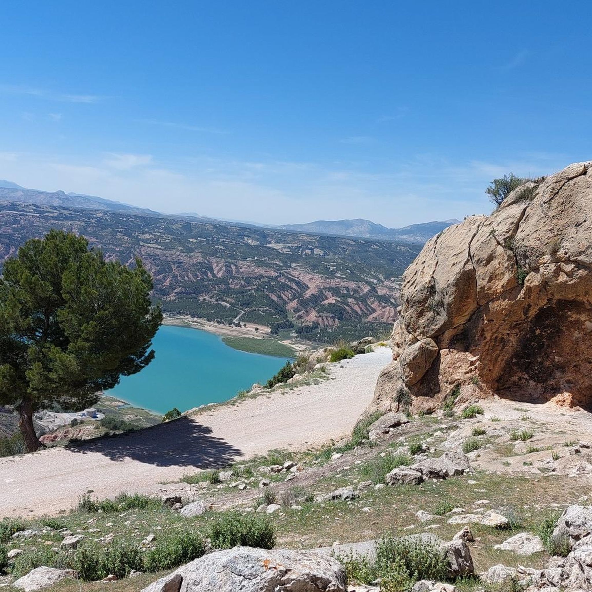
Road cycling routes in Zújar offer views of several natural features and landmarks. You can enjoy panoramic vistas of Negratín Reservoir, the majestic Mount Jabalcón, and the diverse landscapes of the Sierra de Baza. Some routes also pass by the unique Roman Baths of Negratín (Zújar thermal pool), offering a chance for relaxation.
Are there good viewpoints along the road cycling trails in Zújar?
Absolutely. The region boasts several excellent viewpoints. You can find stunning vistas from locations like Guard Hut Viewpoint and Negratín Reservoir Viewpoint, offering expansive views of the lake and surrounding mountains. The routes often provide opportunities to see the Antennas of Cerro Jabalcón and the Sanctuary of the Virgin of the Head on Cerro Jabalcón.
Are there family-friendly road cycling routes in Zújar?
While many routes in Zújar involve varied gradients and some challenging climbs, there are options suitable for families or those seeking a less strenuous ride. Routes around the flatter sections of Lake Negratín, or parts of the old railway paths (Vía Verde) which are generally flatter, can be more family-friendly, though some Vía Verde sections might be gravel.
Where can I find parking for road cycling routes in Zújar?
Parking is generally available in and around Zújar, particularly near popular starting points for routes around Lake Negratín or within the town itself. Specific parking information for individual routes can often be found in the route descriptions on komoot.
Are there cafes or pubs along the road cycling routes in Zújar?
Yes, many routes pass through or near small towns and villages where you can find local cafes and pubs. These offer opportunities to refuel and experience local hospitality. It's always a good idea to check the route details or a map beforehand to plan your stops.
What accommodation options are available for cyclists in Zújar?
Zújar and its surrounding areas offer various accommodation options, including rural guesthouses, small hotels, and holiday rentals. Many establishments are accustomed to hosting outdoor enthusiasts and may offer facilities like secure bike storage. It's advisable to book in advance, especially during peak seasons.
Most popular attractions around Zújar

Get inspired with the komoot mobile app


Explore more
Browse the best Road cycling routes in other regions.
