The best walks and hikes around Gualchos
4.2
(133)
597
hikers
21
hikes
Hiking around Gualchos offers diverse natural landscapes, situated at 338 meters above sea level with the Sierra de Lújar to the north and west. The region features rugged mountainous terrain, dramatic cliffs, and over 7 kilometers of Mediterranean coastline. Trails often provide elevated views of both the mountains and the sea, including expansive beaches and coves. This varied topography supports a range of hiking experiences, from gentle coastal paths to more challenging mountain ascents.
Best hiking trails around Gualchos
- The…
Last updated: October 7, 2026
4.6
(14)
28
hikers
3.64km
01:09
160m
160m
Easy hike. Great for any fitness level. Easily-accessible paths. Suitable for all skill levels.
3.0
(1)
14
hikers
10.5km
03:26
480m
480m
Moderate hike. Good fitness required. Easily-accessible paths. Suitable for all skill levels.

3.4
(7)
15
hikers
4.98km
01:37
210m
210m
Easy hike. Great for any fitness level. Easily-accessible paths. Suitable for all skill levels.
4.5
(4)
8
hikers
7.51km
02:26
330m
330m
Moderate hike. Good fitness required. Easily-accessible paths. Suitable for all skill levels.
10
hikers
9.13km
03:04
460m
460m
Moderate hike. Good fitness required. Easily-accessible paths. Suitable for all skill levels.
Get access to more routes and recommendations from other explorers.
Already have an account?
Our route recommendations are based on thousands of hikes, rides, and runs completed by other people on komoot.
Start today with a free account
Your next adventure awaits.

Tips from the Community

Rockroses, male rosemary, torvizco shrubs, junipers, small olive trees, wild olive trees, thyme, broom, espartal grass and many other species typical of a coastal ecosystem, which receives a high level of humidity, with real surprises among its most characteristic species. This is the case of Teucrium rixanense, whose name refers to the Rijana and is considered an endemic species of this small territory, where it is also possible to find Mediterranean orchids, some of them very rare.
1
0
Going up to the Águila peak is one of the most attractive and easy routes that can be done on the eastern coast of Granada, since it combines landscape, with impressive views of both the marine strip and the interior, with the Lújar and Contraviesa mountains, and They show a sequence of ecosystems that are part of the purest thermo-Mediterranean and Mesomediterranean bioclimatic floor in the highest areas. From the road between Gualchos and El Conjuro, a little more than two kilometers away, there is a lane that connects directly with the trails to the highest peak on the Granada coast. Only 1.5 kilometers that show slopes cultivated with almond trees and areas of esparto trees where the original ecosystem degraded by the passage of time and climate emerges. After the lane, the path continues towards an old disused shooting range, a point where the calar begins, an ecosystem of limestone rocks and marble that becomes karstic towards the highest point of the Águila summit.
1
0
The osprey was habitual on the cliffs located between Calahonda and Castell de Ferro and its flights over the sea and the summits of the surrounding hills gave its name to the highest of the watchtowers that dominate the coast, the Pico del Águila, located on the town of Gualchos, a hill that rises between two ravines that flow into Rijana and Rijanilla, two anchorages used since the dawn of navigation and especially by the Romans and the first Umayyads to arrive on the Peninsula. The peak is the great vantage point from which you can see the entire eastern coastline of Granada and the rocky cliffs and cliffs that plunge down to the Calahonda and Carchuna delta, a karstic area, a cove of rocks sharpened by the wind, which They generate a peak on the ridged orography of the hill. settlers It is a territory in which the last Roman settlers of the coast of Granada sought refuge, forgotten by Rome at the time of the fall of the Empire.
1
0
Eagle Peak trenches
0
0
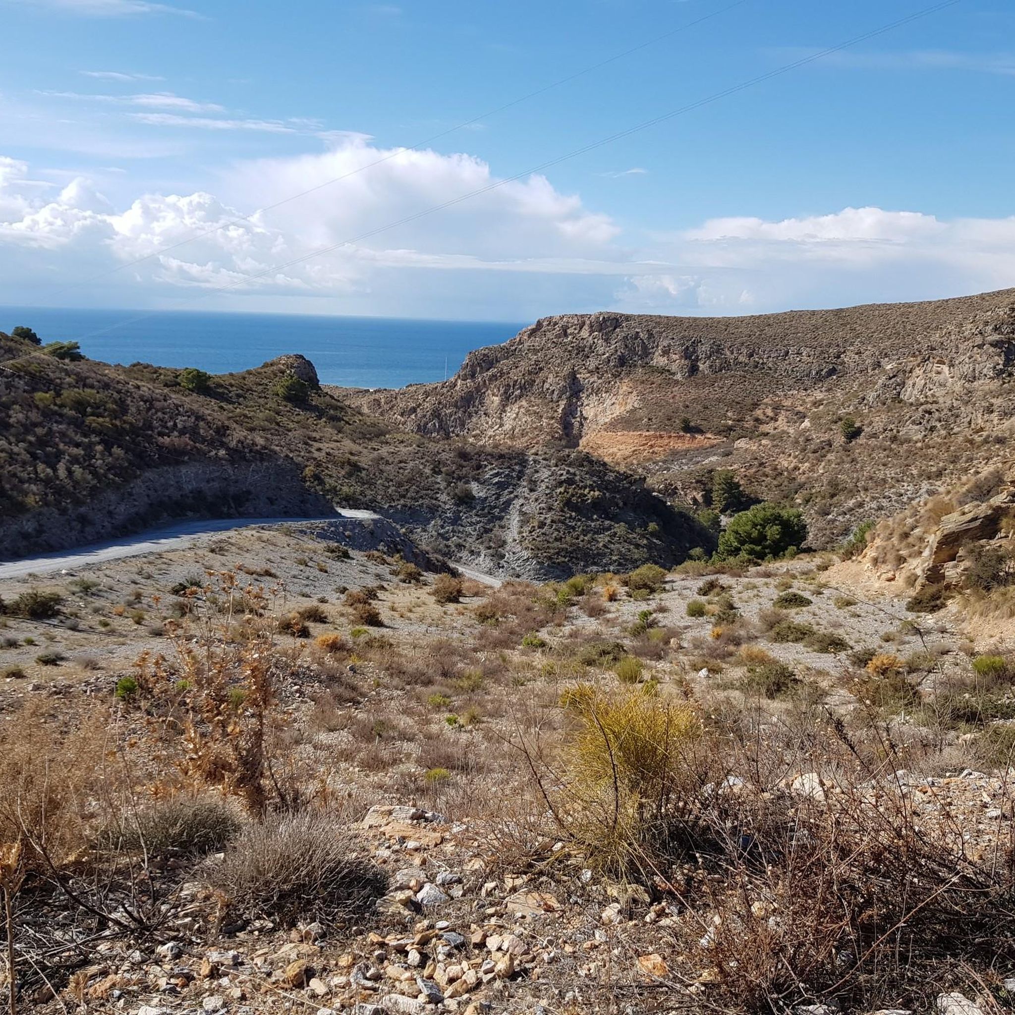
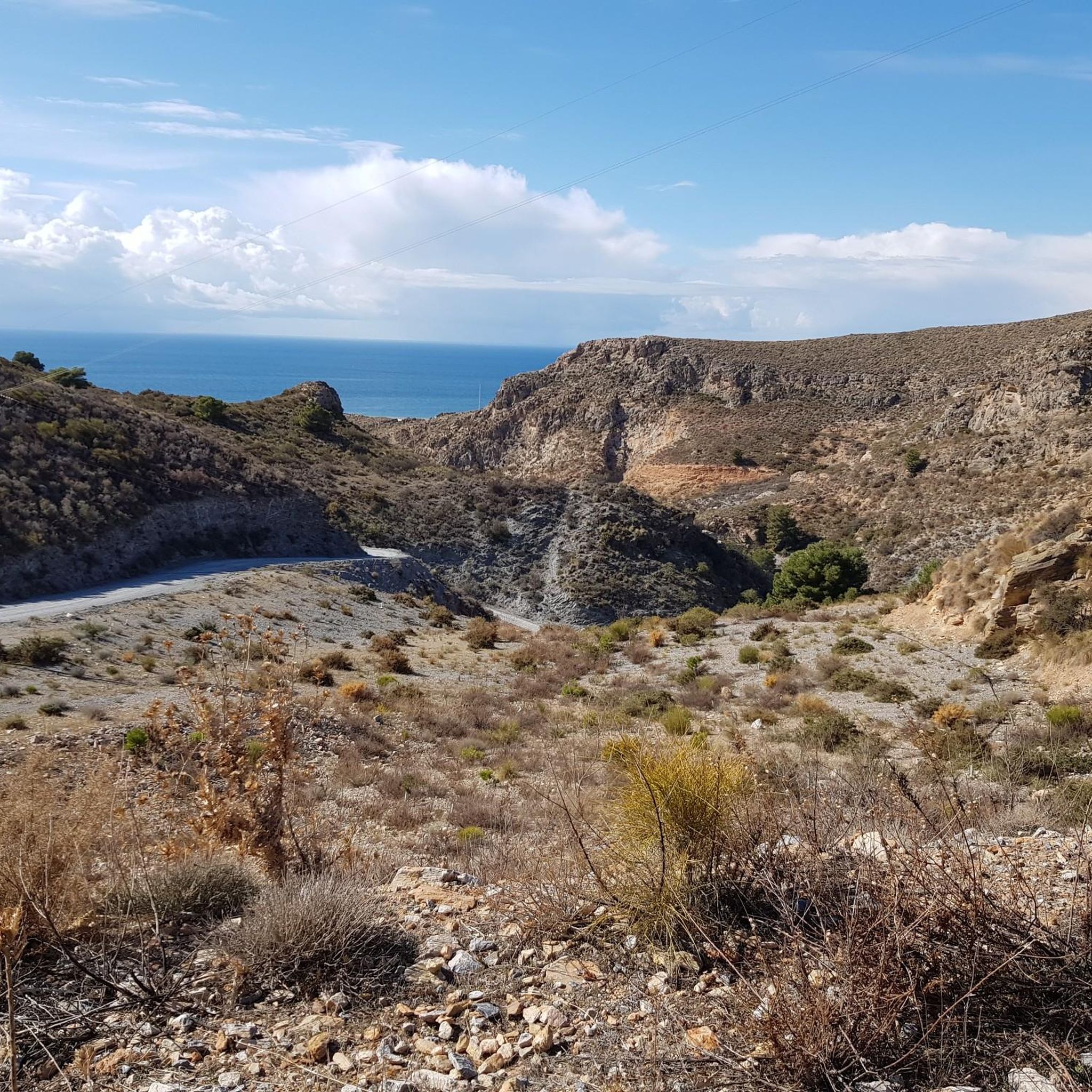
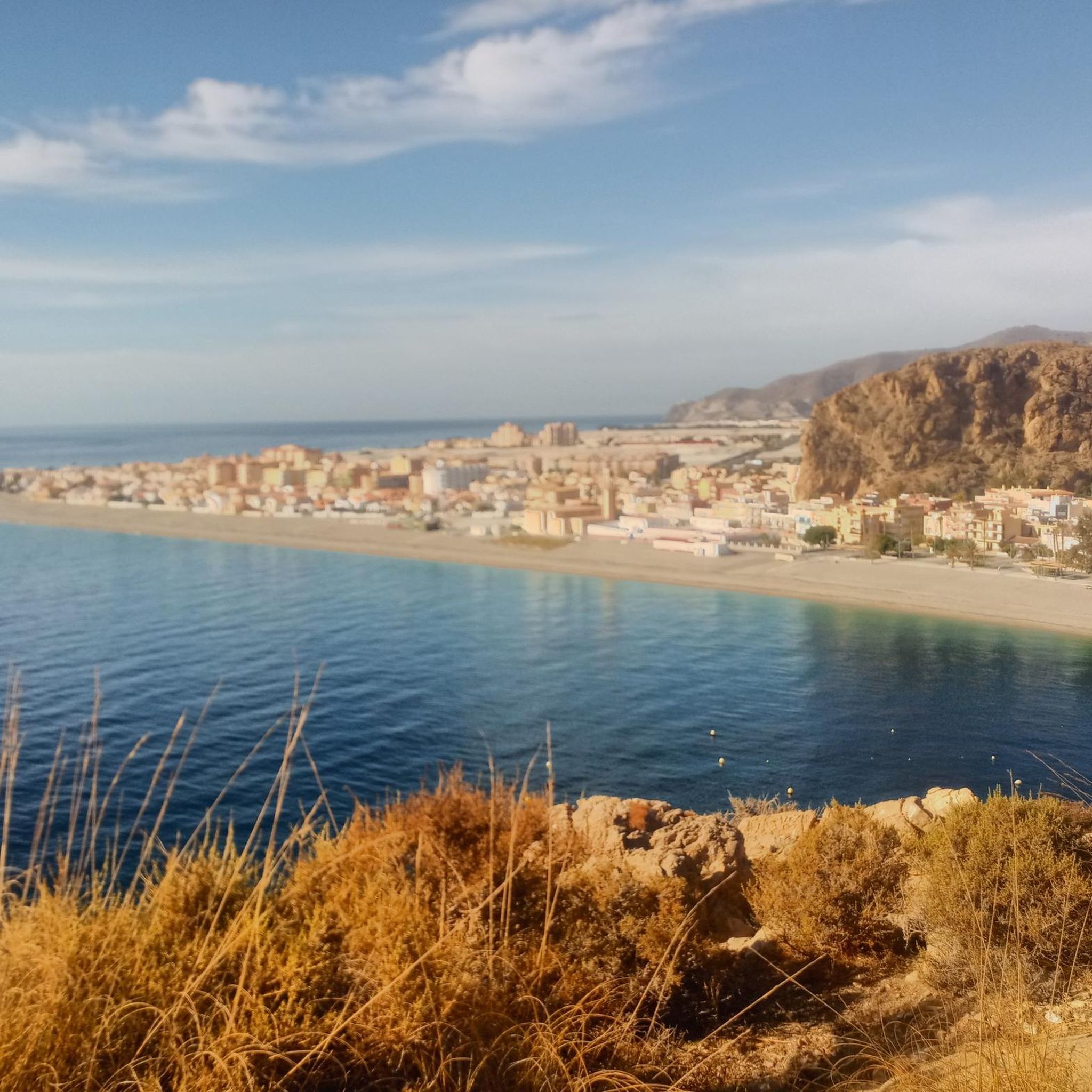
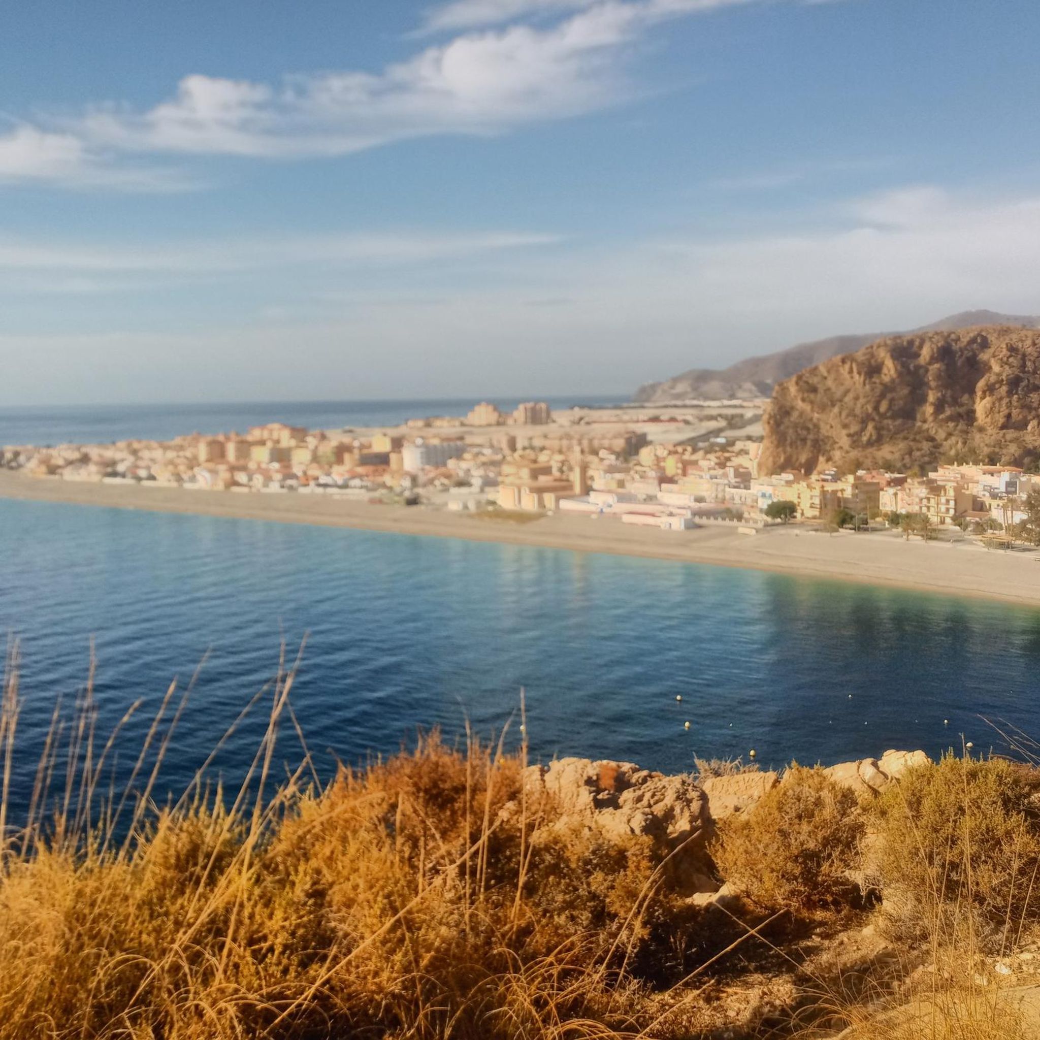
Here we have some views from the Eagle Peak.
1
0
Here in this area of Pico del Águila between Gualchos and Castell de Ferro, there are some of the trenches that are still standing from the civil war in which the Republican army dominated the area according to information.
1
0
this view is taken from the peak of the eagle
1
0
Frequently Asked Questions
What types of landscapes can I expect to see while hiking around Gualchos?
Gualchos offers a unique blend of rugged mountainous terrain from the Sierra de Lújar and stunning Mediterranean coastal views. You'll find trails that traverse elevated areas, providing panoramic vistas of both the mountains and the sea, along with dramatic cliffs and expansive beaches.
Are there hiking trails suitable for beginners or those looking for an easy walk?
Yes, Gualchos has several easy trails. For instance, the Path of Silence loop from Gualchos is an easy 3.6 km route, perfect for a tranquil experience through the local landscape and suitable for all fitness levels. Overall, there are 9 easy routes available.
When is the best time of year to go hiking in Gualchos?
Gualchos benefits from a subtropical climate, making conditions pleasant for hiking year-round. However, spring and early autumn are generally considered ideal, offering comfortable temperatures for exploration.
Can I find circular hiking routes in Gualchos?
Yes, many of the trails around Gualchos are designed as loops, offering varied scenery without retracing your steps. Examples include the easy Path of Silence loop from Gualchos and the moderate Ermita de San Cayetano loop from Gualchos.
What interesting natural features or landmarks can I discover along the trails?
The region is rich in natural and historical points of interest. You can explore areas near the Olías Caves or the Melero Cave. The Pico del Águila offers elevated views, and you might encounter the Nacimiento de Lújar Spring or even Almond Trees in Bloom depending on the season.
Are there any coastal walks or trails with sea views?
Absolutely. Gualchos is situated near over 7 kilometers of coastline, and many trails offer spectacular views of the Mediterranean Sea. The Varica de San José loop from Castell de Ferro, for example, provides excellent views of the coastline and surrounding hills.
What do other hikers say about the trails in Gualchos?
The hiking routes in Gualchos are highly regarded by the komoot community, with an average rating of 4.1 stars from over 110 reviews. Hikers often praise the diverse terrain, the stunning combination of mountain and sea views, and the variety of options for different ability levels.
How many hiking routes are available in the Gualchos area?
There are 16 distinct hiking routes documented around Gualchos, offering a wide range of experiences from easy strolls to more challenging moderate hikes.
Are there any trails that lead to or pass by historical sites?
Yes, the area around Gualchos has historical significance. While specific hiking routes directly to them aren't detailed, the region includes the archaeological site of Rijana and the 16th-century Tower of Rijana, which can be incorporated into walks, adding a cultural dimension to your outdoor exploration.
What is a good moderate hike for someone looking for a bit more challenge?
For a moderate challenge, consider the Jolúcar Washhouses loop from Vega de Gualchos. This route is approximately 9 km long and features moderate elevation changes, offering a rewarding experience for those with good fitness.
Can I find trails that offer panoramic viewpoints?
Many trails in Gualchos, given its elevated position and proximity to the Sierra de Lújar, offer fantastic panoramic viewpoints. The View of Cala del Castell loop from Castell de Ferro is an easy option that provides scenic vistas, and the general mountainous terrain ensures many opportunities for breathtaking views.
Most popular attractions around Gualchos

Get inspired with the komoot mobile app


Explore more
Browse the best Hikes in other regions.
