The best running trails around Fiñana
54
runners
10
runs
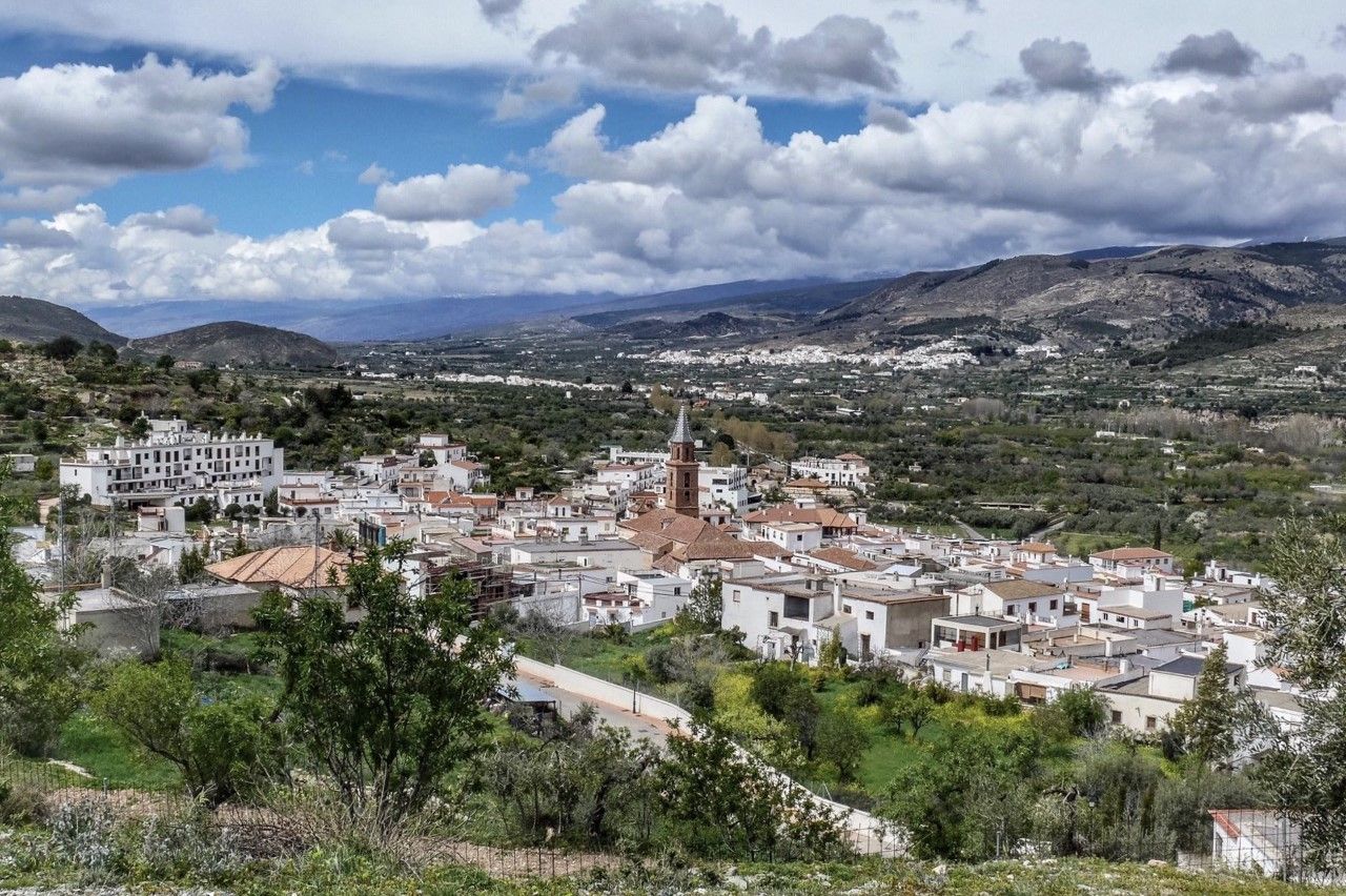
Jogging routes around Fiñana are set within the rugged landscapes of the Sierra Nevada Natural Park, offering a stimulating environment for outdoor activity. The region, located at an elevation of 946 meters, features a diverse topography with high altitudes, rough terrain, and impressive cliffs. This varied composition includes areas within the Sierra Nevada, the Mesopotamian land where Fiñana is situated, and the El Llano de Abla plain, providing a range of inclines and terrains for runners.
Best jogging routes around…
Last updated: June 26, 2026
15
runners
16.7km
03:33
650m
650m
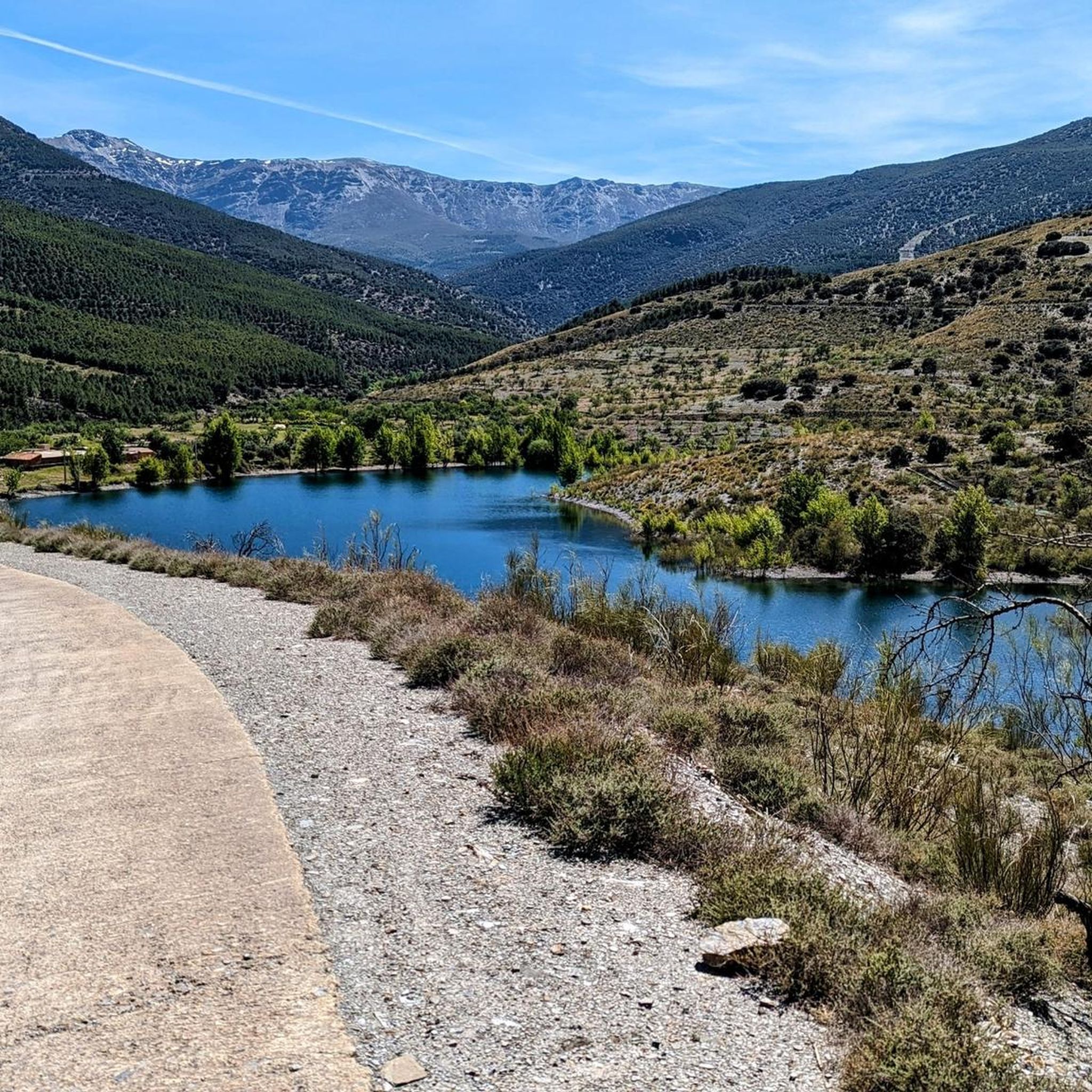
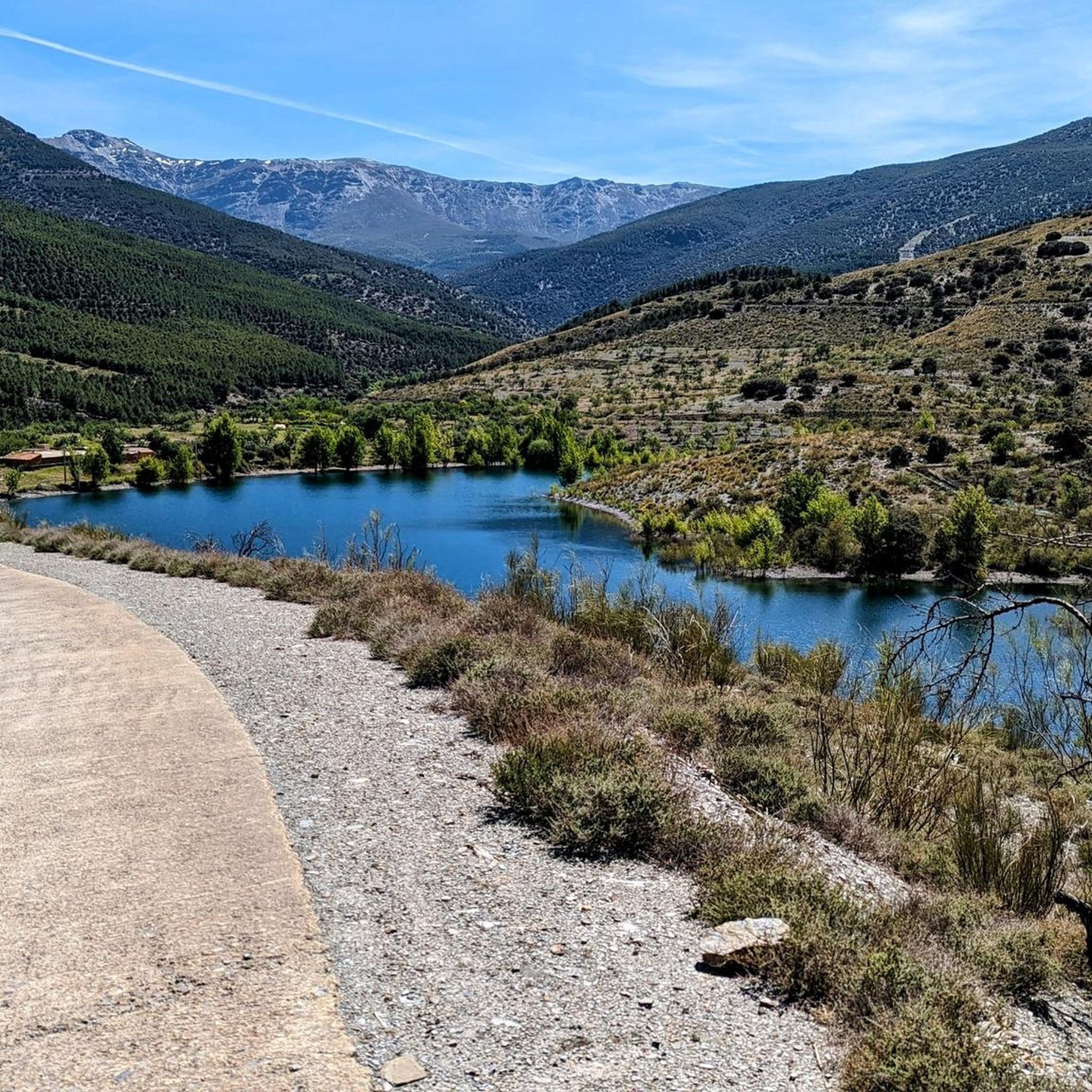
Jog this difficult 10.4-mile loop to Chullo Peak and Lagunilla Seca in Sierra Nevada National Park, gaining 2121 feet for panoramic views.
3
runners
21.4km
02:44
790m
790m
Hard run. Very good fitness required. Mostly paved surfaces. Suitable for all skill levels.

Sign up for free
1
runners
10.4km
01:28
420m
420m
Tackle the difficult La Jairola - El Castillejo Trail, a 6.4-mile jogging route with 1374 feet of elevation gain through historic landscapes
20
runners
12.6km
01:43
380m
380m
Hard run. Very good fitness required. Mostly paved surfaces. Suitable for all skill levels.
6
runners
8.67km
00:59
120m
120m
Moderate run. Good fitness required. Mostly paved surfaces. Suitable for all skill levels.
Get access to more routes and recommendations from other explorers.
Sign up for free
Already have an account?
Our route recommendations are based on thousands of hikes, rides, and runs completed by other people on komoot.
Start today with a free account
Your next adventure awaits.
Login or Signup
Other adventures around Fiñana

Tips from the Community

Beautiful view
0
0
In Abla there is a historical walking tour that passes all the sights and is well marked. We liked Abla better than the “magic village” of Abrucena.
1
0
Abrucena is one of the Pueblos Magicos in Spain. The village didn't seem particularly magical to us. After a short tour we continued to Abla.
0
0


Abla is located at the foot of the Sierra de Baza and is one of those wonderful Andalusian towns perched on a hill with its winding streets and whitewashed houses.
0
0

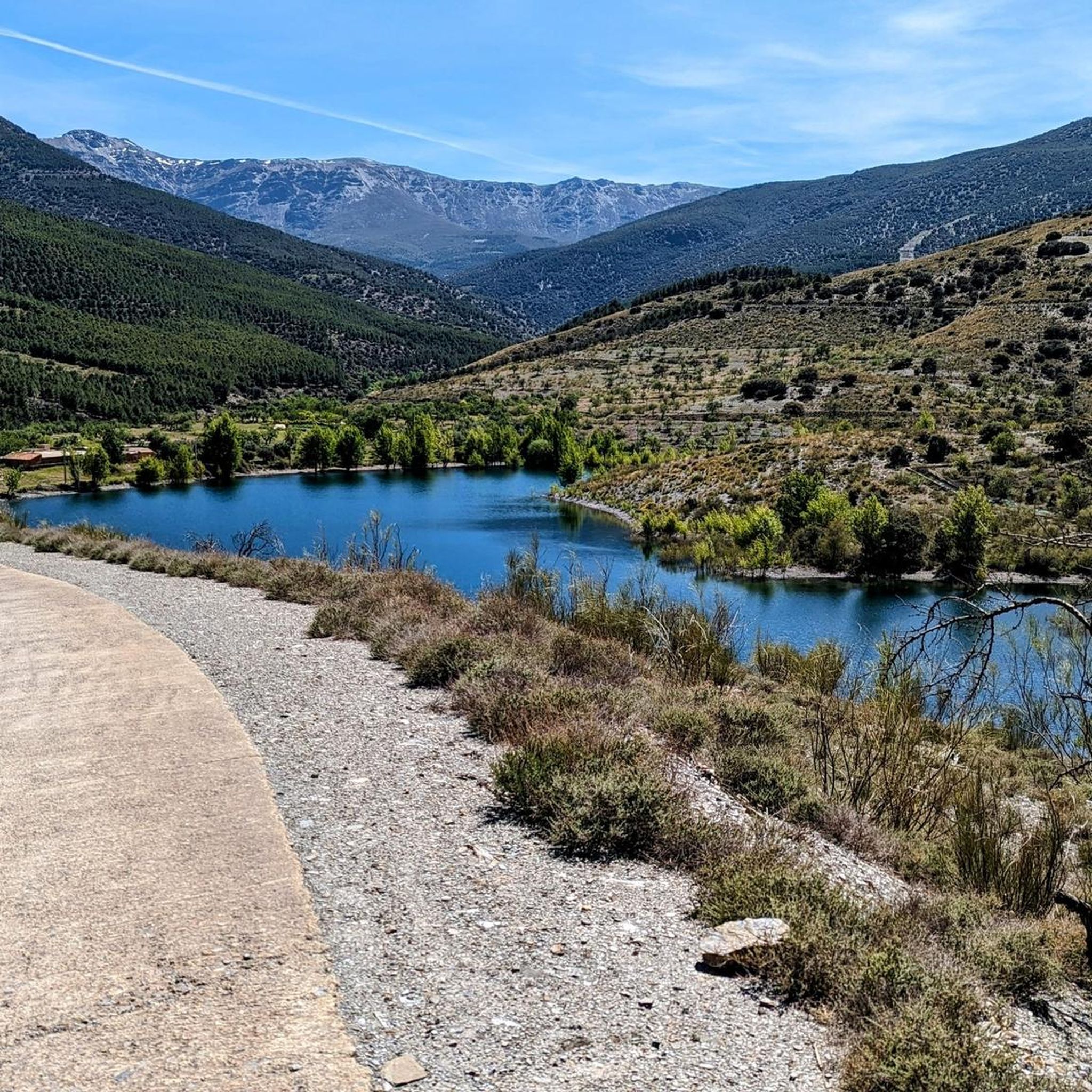
First great view just above the Puerto de la Ragua car park. Here you can see the short, super nice tour to the Chullo summit in the video. https://youtu.be/DxUrMbFJmow
4
0
Mega beautiful view of the Sierra Nevada and a great short tour from the parking lot. Here in the video you can marvel at the whole tour in short: https://youtu.be/DxUrMbFJmow
1
0

The path through the Abrucena holm oak offers an incredible variety of ravines of great natural beauty. The entire area is included within the Network of Protected Natural Areas of Andalusia, with the figures of Sierra Nevada Natural and National Park.
2
0
Frequently Asked Questions
What kind of terrain can I expect on running routes around Fiñana?
Running routes in Fiñana are characterized by a diverse and rugged topography. You'll find high altitudes, rough terrain, and impressive cliffs, as the area is nestled within the Sierra Nevada Natural Park. This includes varied landscapes from the Sierra Nevada mountains to the El Llano de Abla plain, offering a mix of inclines, declines, and surfaces for an engaging running experience.
Are there any easy running routes suitable for beginners or a more relaxed pace in Fiñana?
While many routes in the Fiñana area are challenging, there are options for moderate difficulty. The guide features 2 moderate routes out of a total of 8. These paths offer a less strenuous experience compared to the more difficult mountain trails, making them suitable for those seeking a more relaxed pace or for beginners looking to explore the region's natural beauty.
Can I find circular running routes in the Fiñana region?
Yes, the Fiñana area offers several circular running routes. For example, the challenging Chullo and Lagunilla Seca Loop is a 10.4-mile (16.7 km) trail that takes you through mountainous terrain. Another popular option is the difficult El Encinar de Abrucena – trail running circular from Abrucena (PR-A 15), which is a 13.3-mile (21.4 km) path winding through varied landscapes.
What natural features or landmarks can I see while running near Fiñana?
The running routes around Fiñana offer stunning natural features and landmarks. You can encounter significant peaks like Chullo Peak, the highest in Almería, offering breathtaking views. Other highlights include the Abrucena Holm Oak Forest and even small waterfalls, such as the Small Waterfall of the Andarax River. The region's diverse topography ensures a constantly changing and invigorating experience.
Are there any running trails that offer particularly scenic viewpoints?
Absolutely. Many running trails in the Fiñana area provide spectacular scenic viewpoints, especially those within the Sierra Nevada Natural Park. Routes leading towards or around Chullo Peak offer expansive vistas of the Sierra Nevada and even Mulhacén Peak. The rugged topography and high altitudes ensure inspiring backdrops throughout your run.
What is the best time of year to go running in Fiñana?
Fiñana, located at 946 meters above sea level, offers a stimulating environment for outdoor activities. The best time to run generally depends on personal preference and tolerance for heat or cold. Spring and autumn often provide the most pleasant temperatures for running. During summer, early mornings or late evenings are advisable to avoid the midday heat, while winter can offer crisp, clear days, though higher altitude trails may have snow.
How many running routes are available in the Fiñana area on komoot?
There are over 8 dedicated running routes available for the Fiñana area on komoot. These routes cater to various difficulty levels, with 2 moderate and 6 difficult options, ensuring there's a suitable path for different running preferences and fitness levels.
What is the general difficulty level of running routes around Fiñana?
The running routes around Fiñana are predominantly challenging. Out of the 8 routes listed, 6 are classified as difficult, and 2 are moderate. This reflects the region's rugged topography, high altitudes, and significant elevation changes, making it an ideal destination for trail runners seeking a demanding experience.
Are there any huts or shelters along the running routes in the Fiñana region?
Yes, within the broader Fiñana region and the Sierra Nevada Natural Park, there are several huts and shelters that can be useful for longer runs or as points of interest. Notable examples include the La Ragua Mountain Hut, Puerto de las Palomas Cyclists' Shelter, and Refugio de la Polarda. These can offer a place to rest or take shelter during your run.
What kind of running experience do komoot users have in Fiñana?
Komoot users frequently explore the varied terrain of Fiñana, with over 40 runners having used the platform to discover routes in the area. The region is praised for its high-altitude mountain paths and diverse topography within the Sierra Nevada Natural Park, offering stimulating and challenging experiences for those who enjoy trail running amidst stunning natural beauty.
Is there a particularly long and challenging running route for experienced trail runners?
For experienced trail runners seeking a significant challenge, the El Encinar de Abrucena – trail running circular from Abrucena (PR-A 15) is an excellent option. This difficult route spans 13.3 miles (21.4 km) and features substantial elevation gain, winding through varied landscapes including forested sections and open areas, providing a demanding and rewarding running experience.
Are there any running routes that pass through forested areas?
Yes, some running routes in the Fiñana area traverse beautiful forested sections. For instance, the El Encinar de Abrucena – trail running circular from Abrucena (PR-A 15) winds through varied landscapes that include forested areas. Additionally, the Abrucena Holm Oak Forest is a notable natural feature in the region, suggesting opportunities for runs through wooded environments.
Most popular attractions around Fiñana

Get inspired with the komoot mobile app


Explore more
Browse the best Running Trails & Routes in other regions.
