The best road cycling routes around Medio Cudeyo
4.5
(211)
10,668
riders
25
rides
Road cycling routes around Medio Cudeyo traverse a diverse landscape in Cantabria, Spain, characterized by the limestone Peña Cabarga Massif, the Miera River valley, and proximity to Santander Bay. The region features significant elevation changes, including challenging climbs like the ascent to Peña Cabarga, alongside gentler routes through riverine and coastal areas. This varied terrain offers road cyclists a range of experiences from demanding mountain ascents to scenic rides along estuaries and greenways.
Best road cycling routes around Medio Cudeyo
…Last updated: July 7, 2026
5.0
(1)
258
riders
70.3km
03:57
1,280m
1,280m
Hard road ride. Very good fitness required. Some segments of this route may be unpaved and difficult to ride.
5.0
(1)
109
riders
44.4km
02:00
390m
390m
Moderate road ride. Good fitness required. Mostly well-paved surfaces and easy to ride.

Sign up for free
5.0
(1)
49
riders
144km
07:36
2,530m
2,530m
Hard road ride. Very good fitness required. Mostly well-paved surfaces and easy to ride.
3.8
(5)
104
riders
51.2km
02:26
510m
510m
Moderate road ride. Good fitness required. Mostly well-paved surfaces and easy to ride.
36
riders
52.4km
03:01
1,210m
1,210m
Hard road ride. Very good fitness required. Mostly well-paved surfaces and easy to ride.
Get access to more routes and recommendations from other explorers.
Sign up for free
Already have an account?
Our route recommendations are based on thousands of hikes, rides, and runs completed by other people on komoot.
Start today with a free account
Your next adventure awaits.
Login or Signup
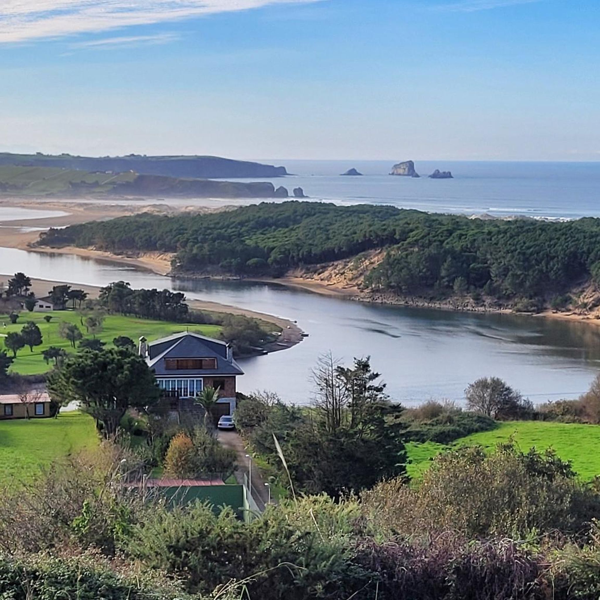
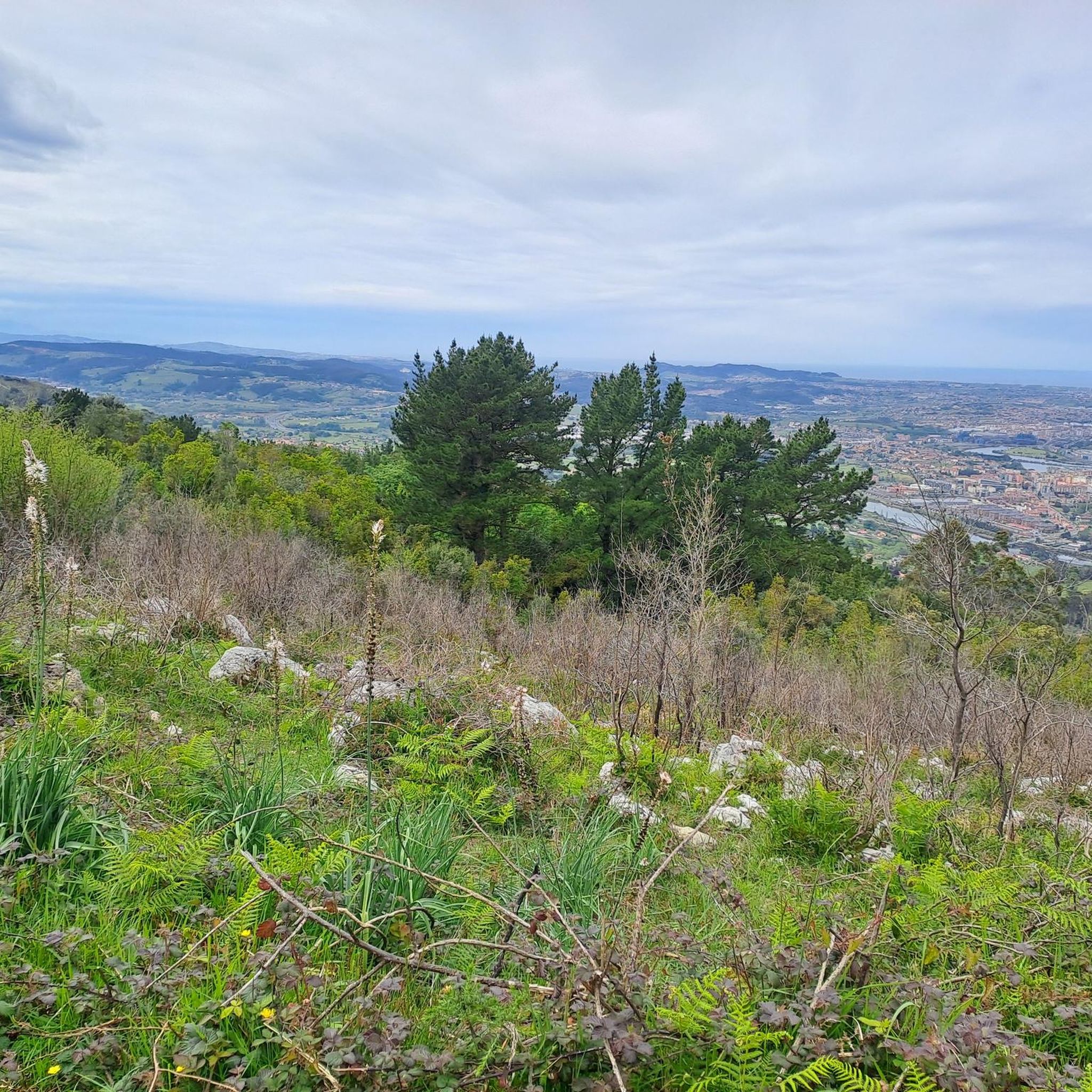
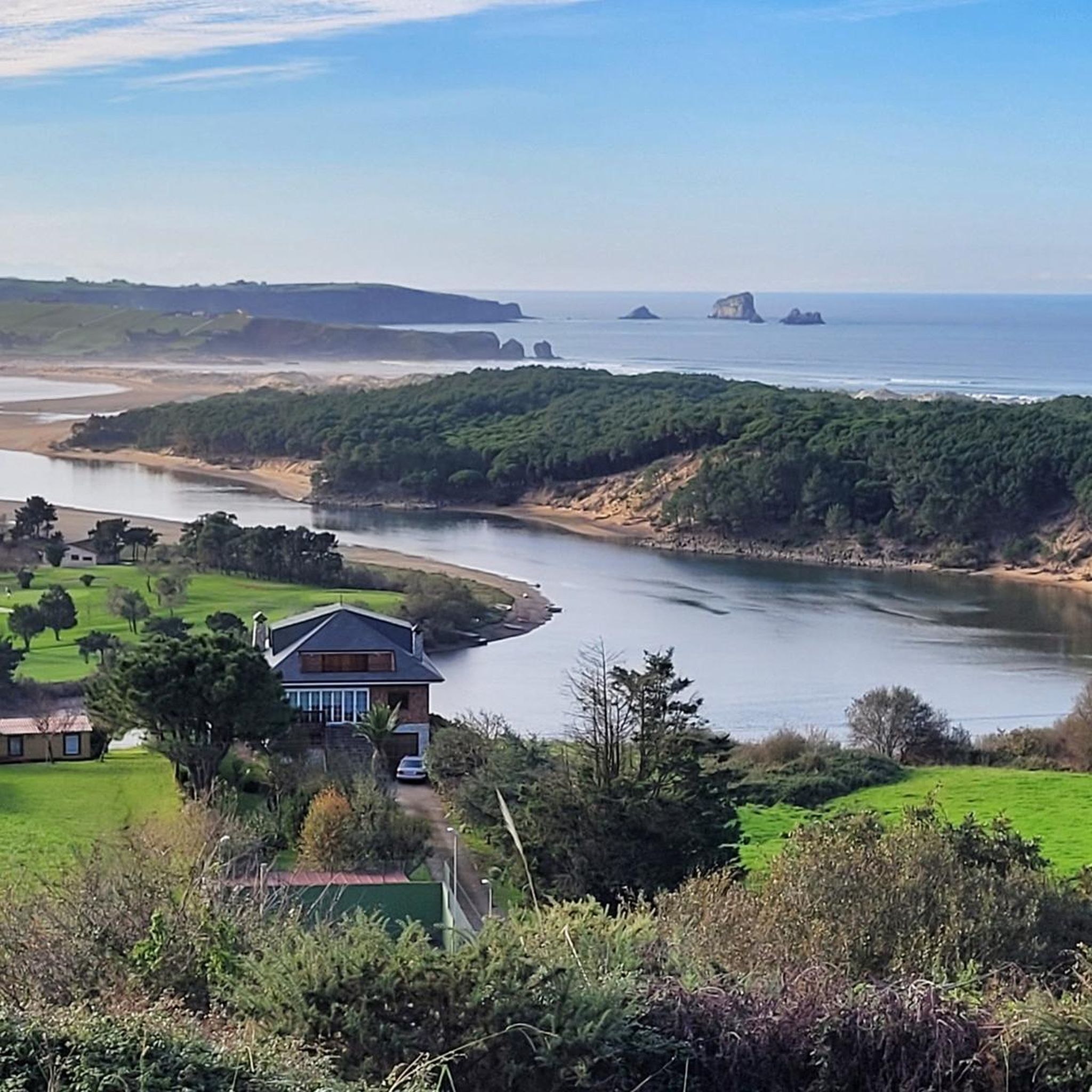
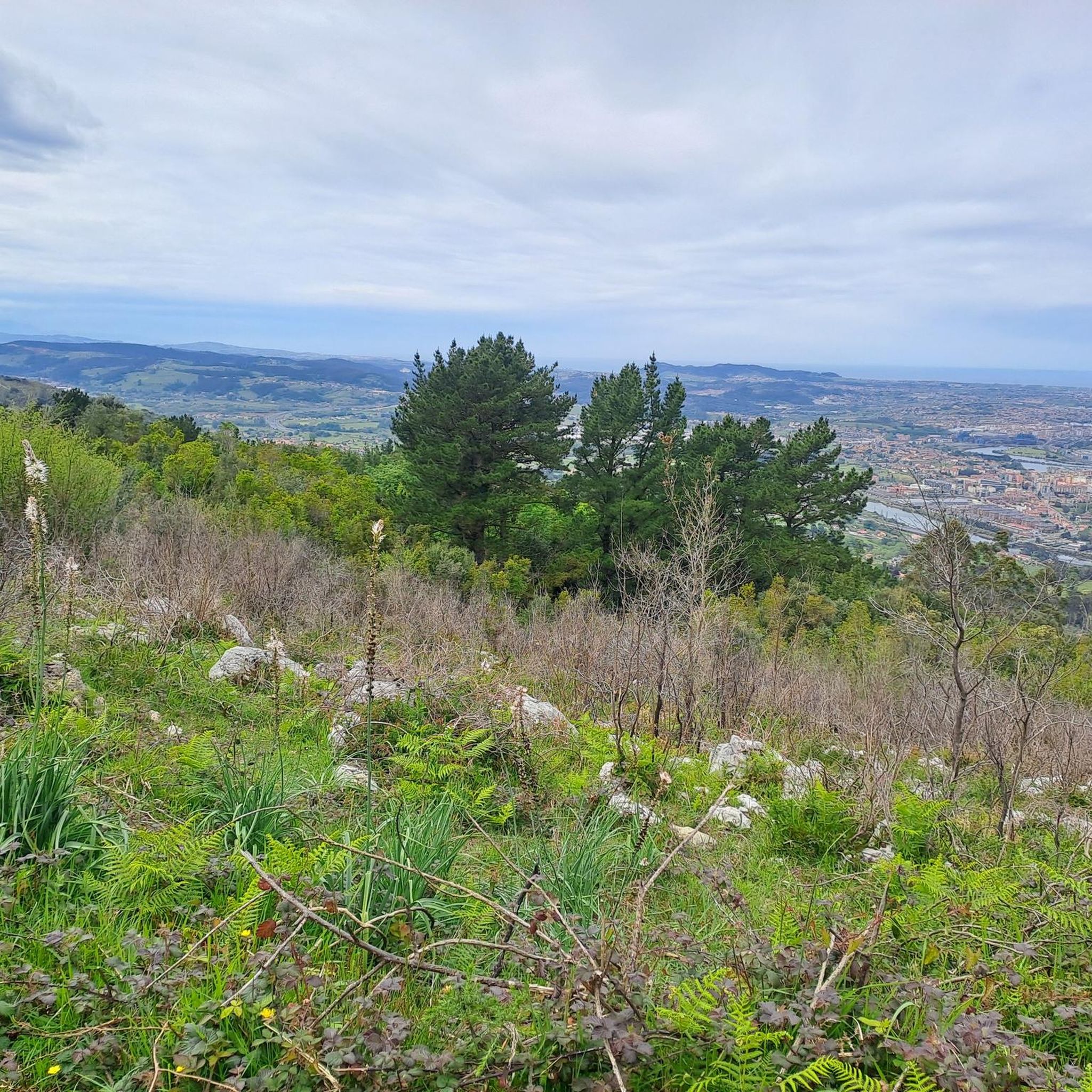
Tips from the Community

Quiet, fully cyclable path that goes from Astillero to Ontaneda along the old train track. Highly recommended
0
0

The Puerto de La Braguía is a climb that connects the Pas Valley with the Toranzo Valley. It features a steady gradient through a green, mountainous environment. A popular feature of the Vuelta a España.
2
0

Cabárceno Nature Park is a unique space in Cantabria, not a conventional zoo, built on a former iron mine. Within its 750 hectares, the animals live in semi-freedom in large natural enclosures. You can explore the park in your own car, on foot, or by cable car to see more than 120 species of animals, such as elephants, bears, and gorillas, in an environment very similar to their natural habitat.
4
0

La Matanela Pass, 1,005 m. Border between Burgos and Cantabria, Meseta and Pas. From Burgos, it's known as La Magdalena. I copied the altimetry from altimetrias.net, which can be trusted.
0
0

It is 1.5 km from the top of the port.
0
0

From Astillero it is worth getting to Santander passing through different discontinuous bike paths that almost connect to each other.
0
0
It should be the "natural" way to access https://parquedecabarceno.com/ In any case, go slowly, many people use it
0
0
The Carlos III Gate is located in the town of Riotuerto. If you're in the area, stop by this baroque memorial arch.
1
0
Frequently Asked Questions
How many road cycling routes are available in Medio Cudeyo, and what are their difficulty levels?
Medio Cudeyo offers a diverse range of road cycling routes, with over 25 options to explore. These routes cater to various skill levels, including 4 easy, 16 moderate, and 8 difficult trails, ensuring there's a suitable ride for every cyclist.
Are there any particularly challenging road cycling routes for experienced cyclists in Medio Cudeyo?
Absolutely. Medio Cudeyo is renowned for its challenging ascents, particularly the climb to Pico Llen on Peña Cabarga. This climb has been featured in the Tour of Spain and boasts sections with gradients up to 22%. For a difficult route incorporating significant elevation, consider the Alto del Caracol and Vía Verde del Pas Loop, which includes over 1200 meters of ascent.
What kind of scenic views and landmarks can I expect along the road cycling routes?
Road cycling routes in Medio Cudeyo offer a rich tapestry of landscapes. You can expect panoramic views of Santander Bay from the Pico Llen viewpoint on Peña Cabarga, scenic stretches along the Miera River, and coastal vistas near Somo Beach. The region also features historical elements like sections of the Camino de Santiago (Northern Route) and the beautiful Finca Marqués de Valdecilla estate.
Are there any family-friendly road cycling routes in Medio Cudeyo?
While many routes feature significant elevation, the region does offer gentler options. The Somo Beach – Pas Greenway loop from Ceceñas provides a moderate ride through coastal areas and along the Pas Greenway, which is generally flatter and more suitable for families or those seeking a less strenuous experience. The Vía Verde del Pas itself is a great option for a relaxed ride.
What is the best time of year for road cycling in Medio Cudeyo?
The best time for road cycling in Medio Cudeyo is generally during the spring (April to June) and autumn (September to October) months. During these periods, the weather is typically milder, with pleasant temperatures and less rainfall than winter, making for more comfortable riding conditions. Summer can also be good, but be prepared for warmer temperatures, especially on climbs.
Are there circular road cycling routes available in Medio Cudeyo?
Yes, many of the road cycling routes in Medio Cudeyo are designed as loops, allowing you to start and finish at the same point. Examples include the Alto del Caracol and Vía Verde del Pas Loop, the Alto de La Encina – Somo Beach loop from Ceceñas, and the Somo Beach – Pas Greenway loop from Ceceñas, offering convenient circular journeys.
What do other road cyclists enjoy most about road cycling in Medio Cudeyo?
The komoot community highly rates road cycling in Medio Cudeyo, with an average score of 4.6 stars. Cyclists often praise the region's diverse terrain, from the demanding ascents of Peña Cabarga to the scenic coastal and riverine routes. The blend of challenging climbs, beautiful viewpoints, and varied landscapes makes it a popular destination for road cyclists.
Are there any long-distance road cycling options in Medio Cudeyo?
Medio Cudeyo offers several routes that provide a good distance challenge. For example, the Alto del Caracol and Vía Verde del Pas Loop covers over 70 kilometers, while the Summit of Fuente Las Varas – Campo La Cruz loop from Solares is over 63 kilometers, both offering significant mileage and elevation for long-distance enthusiasts.
Can I find places to eat or drink along the road cycling routes in Medio Cudeyo?
Yes, Medio Cudeyo has several towns and villages along its routes where you can find cafes, restaurants, and pubs. Solares, for instance, is a well-known spa town with amenities. Many routes pass through or near populated areas, especially those closer to the coast or along the Miera River, providing opportunities for refreshments and meals.
Are there any specific natural attractions or points of interest to look out for while cycling?
Beyond the stunning views from Peña Cabarga, you can explore the ecological significance of the Miera River, a Site of Community Importance. The Pozas de Langre and Mataleñas Beach offer natural beauty near the coast. The Finca Marqués de Valdecilla also provides a beautiful natural environment with gardens and diverse trees.
Is parking available near the starting points of road cycling routes?
Yes, parking is generally available in the towns and villages that serve as common starting points for routes, such as Ceceñas or Solares. Many routes are designed to be accessible from these locations, where you can typically find public parking facilities. It's advisable to check local parking regulations upon arrival.
Most popular attractions around Medio Cudeyo

Get inspired with the komoot mobile app


Explore more
Browse the best Road cycling routes in other regions.
