The best walks and hikes around Riocavado De La Sierra
4.8
(51)
509
hikers
35
hikes
Hiking around Riocavado De La Sierra offers access to the Sierra de la Demanda, a mountainous region in Burgos, Spain. The area is situated at an altitude of 1,150 meters, characterized by diverse landscapes. Hikers can explore lush forests of oak and beech, river valleys where the Arlanzón River originates, and varied mountainous terrain. This natural environment provides a range of hiking opportunities.
Best hiking trails around Riocavado De La Sierra
- The most popular hiking route is Pico Mencilla by…
Last updated: October 15, 2026
5.0
(1)
24
hikers
Hard hike. Very good fitness required. Mostly accessible paths. Sure-footedness required.
5.0
(2)
3
hikers
Moderate hike. Good fitness required. Mostly accessible paths. Sure-footedness required.

3
hikers
Moderate hike. Good fitness required. Easily-accessible paths. Suitable for all skill levels.
5.0
(1)
28
hikers
18.7km
06:12
910m
910m
Hard hike. Very good fitness required. Easily-accessible paths. Suitable for all skill levels.
4.7
(7)
59
hikers
11.2km
04:12
720m
720m
Moderate hike. Good fitness required. Easily-accessible paths. Suitable for all skill levels.
Get access to more routes and recommendations from other explorers.
Already have an account?
Our route recommendations are based on thousands of hikes, rides, and runs completed by other people on komoot.
Start today with a free account
Your next adventure awaits.
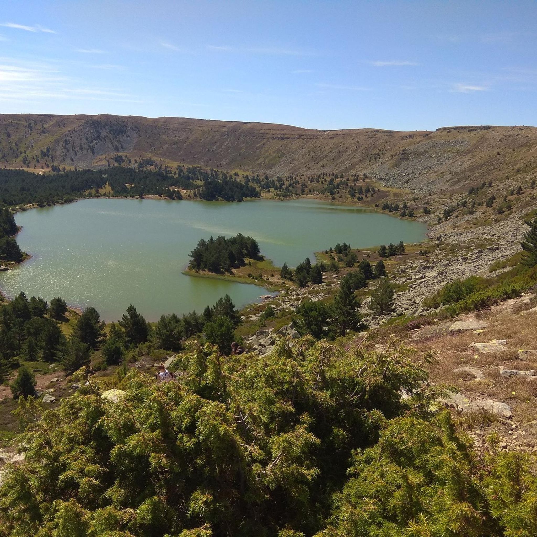
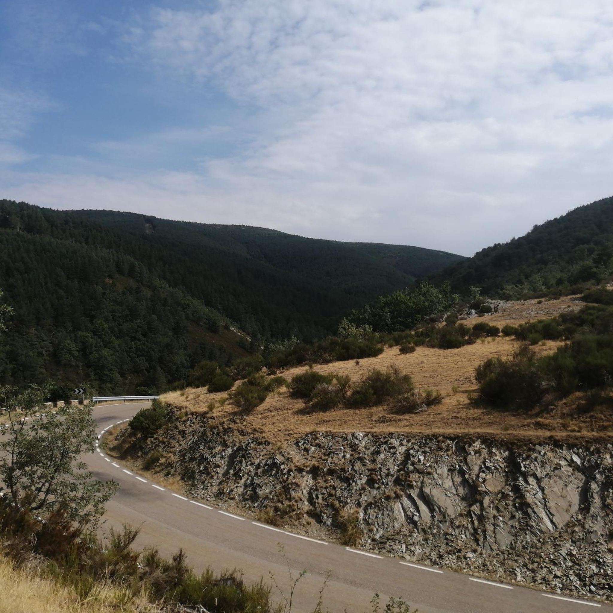
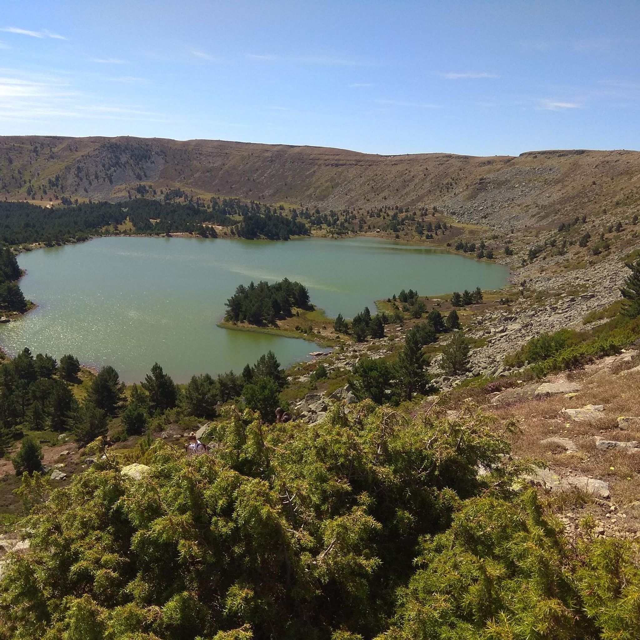
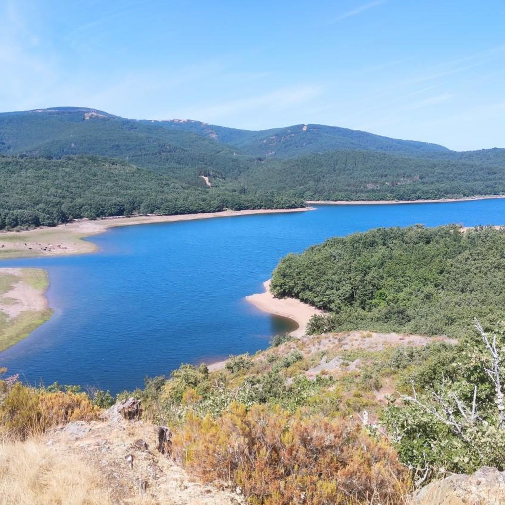

Tips from the Community

Small mountain refuge at about 1800 meters altitude. It is in quite bad condition, but offers a place to stop and rest before undertaking the last stretch to crown the Mencilla.
0
0
El Mencilla is the highest summit of the Mencilla mountain range, which in turn is part of the Sierra de la Demanda within the Iberian system. With an altitude of 1932 meters above sea level and a prominence of 532 meters, it gives its name to the homonymous mountain range. It is located in the Sierra de la Demanda natural space and the municipal terms of Pineda de la Sierra and Tinieblas de la Sierra converge here, part of the Sierra de la Demanda region, in the province of Burgos.
0
0


Spectacular area for hiking routes
0
0

Crossing of the hill path with the path down to Tinieblas de la Sierra.
1
1
Right at the top of Campo de los Corros.
1
1
In an idyllic location, also with a recreational area.
2
1
Frequently Asked Questions
How many hiking trails are available in Riocavado De La Sierra?
There are over 30 hiking trails around Riocavado De La Sierra, offering a wide range of options for different skill levels and preferences. The area is highly rated by the komoot community, with an average score of 4.6 stars from more than 30 reviews.
What kind of terrain can I expect on the hiking trails in Riocavado De La Sierra?
The trails in Riocavado De La Sierra are characterized by mountainous terrain, lush oak and beech forests, and picturesque river valleys. You'll find paths winding through ancient woodlands, alongside the Arlanzón River, and ascending to various viewpoints within the Sierra de la Demanda.
Are there easy hiking options suitable for beginners or families?
Yes, Riocavado De La Sierra offers a few easy hiking options. While many routes involve moderate to difficult ascents, there are at least 2 trails categorized as easy. These typically feature gentler gradients and shorter distances, perfect for a relaxed outing.
What natural features or landmarks can I see while hiking in the area?
Hikers can discover several notable natural features and landmarks. You might encounter the origin of the Arlanzón River, ancient oak and beech trees, and the Puerto del Manquillo mountain pass. Trails also offer beautiful views over the Arlanzón reservoir and lead towards peaks like San Millán (2,131 m).
Are there any circular hiking routes available?
Yes, many of the trails in Riocavado De La Sierra are designed as circular routes, allowing you to start and end at the same point. An example is the Alto del Gayubar - from the Valdelaguna valley — circular through the Sierra de la Demanda Natural Space, which offers a comprehensive experience of the region's diverse landscapes.
Can I reach mountain peaks on hikes from Riocavado De La Sierra?
Absolutely. The region is part of the Sierra de la Demanda, and several trails lead to prominent peaks. For instance, the Pico Mencilla loop from Valle del Sol is a moderate route that takes you towards Pico Mencilla, offering rewarding views from the summit.
Are there any trails that follow old railway lines or greenways?
Yes, the Verde Sierra de la Demanda — circular by the Espacio Natural de la Sierra de la Demanda follows the path of an old mining train. This greenway offers a relatively flat and scenic route, passing through extensive forests and alongside the Arlanzón reservoir, connecting to nearby villages like Pineda de la Sierra.
What is the best time of year to go hiking in Riocavado De La Sierra?
The best time for hiking in Riocavado De La Sierra is generally during spring and autumn when the weather is mild and the natural scenery is at its most vibrant. Spring brings blooming wildflowers, while autumn showcases stunning fall foliage in the oak and beech forests. Summer can also be pleasant, especially at higher altitudes, but be prepared for warmer temperatures.
Are there any longer, more challenging hikes for experienced trekkers?
For experienced trekkers seeking a challenge, Riocavado De La Sierra offers several difficult routes. The Campo de los Corros – Pico Mencilla loop from Pineda de la Sierra is a demanding 10.8 km trail with significant elevation gain, providing a strenuous yet rewarding experience.
What do other hikers enjoy most about hiking in Riocavado De La Sierra?
The area is highly rated by the komoot community, with an average score of 4.6 stars. Hikers often praise the diverse landscapes, from lush forests to mountainous vistas, and the sense of tranquility found on the trails. The well-preserved natural environment and the variety of routes for different abilities are frequently highlighted.
Are there any historical or cultural points of interest in Riocavado De La Sierra?
Beyond its natural beauty, the village of Riocavado de la Sierra itself offers historical charm. You can explore the 12th-century Church of Santa Columba, known for its Romanesque tower, and observe blazoned houses from the 18th century, reflecting the area's pastoral heritage.
Most popular routes around Riocavado De La Sierra
Most popular attractions around Riocavado De La Sierra

Get inspired with the komoot mobile app


Explore more
Browse the best Hikes in other regions.
