The best road cycling routes around Pinos Genil
4.5
(734)
24,549
riders
134
rides
Road cycling routes around Pinos Genil are situated at the foothills of the Sierra Nevada mountains in Andalusia, offering diverse terrain for cyclists. The region is characterized by significant elevation gains, with routes extending into high mountain passes and along the Rio Genil. Cyclists encounter varied gradients, from moderate climbs to steeper ramps, often on quiet roads. The landscape includes mountain scenery, river valleys, and the Quéntar Reservoir.
Best road cycling routes around Pinos Genil
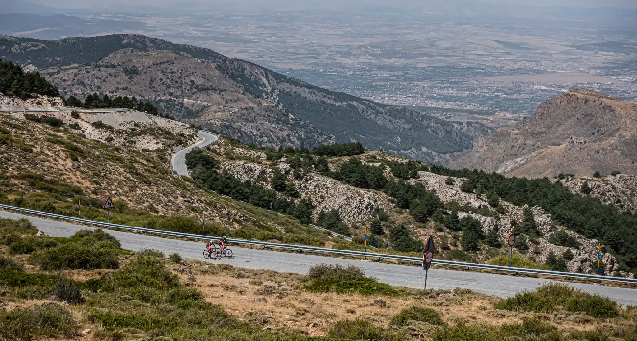
- The most popular road cycling route is Pico Veleta — ascent to the top of Sierra Nevada, a 55.0 miles (88.6 km) difficult trail that takes 5 hours 49 minutes to complete. This iconic ascent features a continuous 40-kilometer climb to the second-highest peak of the Sierra Nevada.
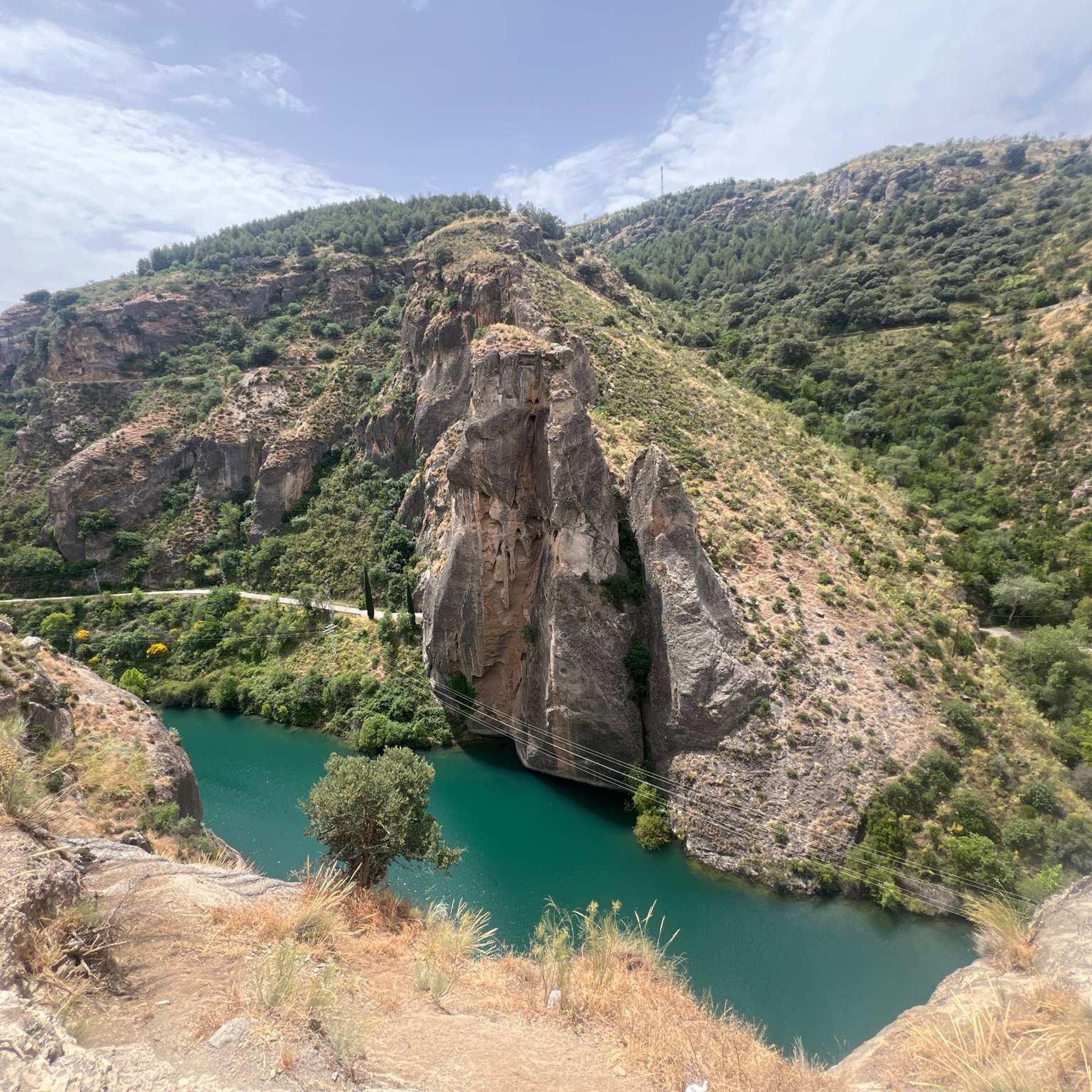
- Another top favourite among local road cyclists is Pinos Genil village – Quéntar Reservoir loop from Cenes de la Vega, a difficult 35.2 miles (56.6 km) path. This route offers a challenging ride with over 4,200 feet of elevation gain, looping around the picturesque Quéntar Reservoir.
- Local road cyclists also love the Pinos Genil village – Alfaguara Climb loop from Cenes de la Vega, a 60.2 miles (96.9 km) trail leading through varied mountain terrain, often completed in about 5 hours 27 minutes.
- Road cycling around Pinos Genil is defined by the high peaks of the Sierra Nevada, the Rio Genil valley, and the Quéntar Reservoir. The network offers options for different ability levels, from challenging ascents to more moderate rides.
- The routes in Pinos Genil are highly rated by the komoot community with an average score of 4.7 stars from over 400 reviews. More than 19,000 road cyclists have used komoot to explore Pinos Genil's varied terrain.
Last updated: October 17, 2026
5.0
(34)
1,832
riders
88.6km
05:49
2,700m
2,700m
Hard road ride. Very good fitness required. Mostly well-paved surfaces and easy to ride.
4.5
(4)
657
riders
47.3km
03:27
1,590m
1,590m
Hard road ride. Very good fitness required. Mostly well-paved surfaces and easy to ride.

4.6
(8)
400
riders
92.0km
04:44
1,650m
1,650m
Hard road ride. Very good fitness required. Mostly well-paved surfaces and easy to ride.
1.0
(1)
45
riders
42.8km
01:46
230m
230m
Easy road ride. Great for any fitness level. Mostly well-paved surfaces and easy to ride.
5.0
(1)
66
riders
24.0km
01:21
480m
480m
Moderate road ride. Good fitness required. Some segments of this route may be unpaved and difficult to ride.
Get access to more routes and recommendations from other explorers.
Already have an account?
Our route recommendations are based on thousands of hikes, rides, and runs completed by other people on komoot.
Start today with a free account
Your next adventure awaits.

Other adventures around Pinos Genil

Tips from the Community

Avoid the short descent to Güejar Sierra via today's route, road impassable
0
0

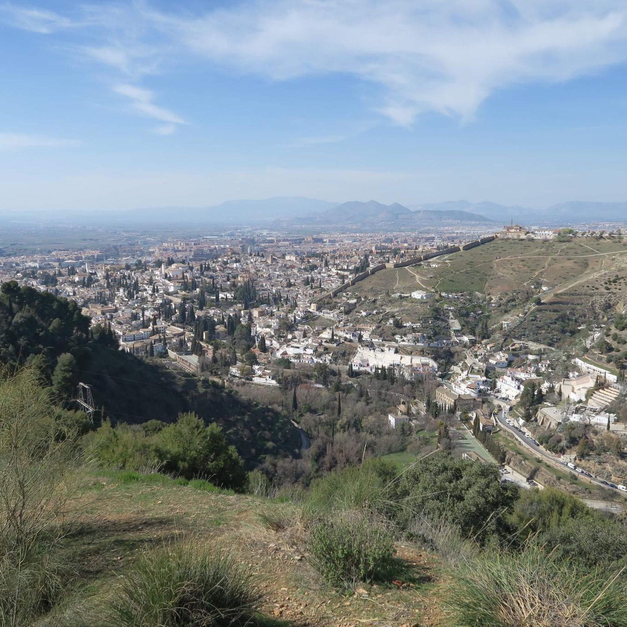
A classic right in the center where you can enjoy a coffee and some churros
0
0
The center has the zacataton, Reyes Catolicos, as well as Plaza Bib Rambla where you can enjoy a walk.
0
0
Emblematic place of the city that you should not miss visiting
0
0
Core connecting the outskirts and the urban center. Invites to cycle, walk or run parallel to it.
0
0
From the capital towards the surrounding areas, it always surprises you
0
0

Guadix is an ancient city located in the heart of the province of Granada. Famous for its unique dwellings excavated in the rock, the so-called "cave houses", which house a significant part of its population, it offers a lunar landscape of chimneys and whitewashed facades emerging from the clayey terrain. Its imposing Renaissance cathedral and its Arab alcazaba are silent witnesses to the rich history that has marked this land since Roman times.
0
0

The Genil River naturalizes the center of Granada and gives it a more landscaped feel. It is also a natural corridor to enter or leave the city along its charming banks.
1
0
Frequently Asked Questions
How many road cycling routes are available around Pinos Genil?
There are over 130 road cycling routes around Pinos Genil, offering a diverse range of options for cyclists. These routes are highly rated by the komoot community, with an average score of 4.7 stars.
Are there easy road cycling routes suitable for beginners in Pinos Genil?
Yes, Pinos Genil offers a selection of easier road cycling routes. There are 21 routes classified as easy, and an additional 63 moderate routes, providing options for those looking for less strenuous rides. For example, the Santa Fe – Sur Coffee Corner loop from Cenes de la Vega is a moderate 49 km route with manageable elevation gain.
What are the most challenging road cycling routes in the Pinos Genil area?
Pinos Genil is renowned for its challenging climbs, particularly those extending into the Sierra Nevada. Some of the most demanding routes include the iconic Pico Veleta — ascent to the top of Sierra Nevada, an 88.6 km route with over 2,700 meters of elevation gain. Another significant challenge is the Pinos Genil village – Alfaguara Climb loop from Cenes de la Vega, spanning 96.9 km with over 2,100 meters of climbing.
Are there any loop road cycling trails around Pinos Genil?
Yes, many road cycling routes in Pinos Genil are designed as loops, allowing you to start and finish in the same location. A popular option is the Pinos Genil village – Quéntar Reservoir loop from Cenes de la Vega, a challenging 56.6 km ride that circles the picturesque reservoir.
What kind of scenery can I expect on road cycling routes near Pinos Genil?
Road cycling routes around Pinos Genil offer breathtaking and varied scenery. You'll experience the majestic backdrop of the Sierra Nevada mountains, picturesque landscapes along the Rio Genil, and views of the Quéntar Reservoir. The region features diverse ecosystems, from high mountain plateaus to Mediterranean forests, and often quiet roads with more bikes than cars.
What historical sites or landmarks can I see along the road cycling routes?
Pinos Genil and its surroundings are rich in history. You might encounter the old tram station, now the Sierra Tramway Interpretation Centre, or even an old Roman bridge. For broader historical exploration, the nearby city of Granada offers world-renowned attractions like the Alhambra and the San Nicolás Viewpoint, which provides stunning views of the Alhambra and the city.
What is the best time of year for road biking in Pinos Genil?
The region around Pinos Genil is generally favorable for road cycling for much of the year. Spring and autumn offer pleasant temperatures, ideal for longer rides. Summer can be hot, especially at lower altitudes, but the higher elevations of the Sierra Nevada provide cooler conditions. Winter can bring snow to the highest peaks, but many lower and mid-altitude routes remain accessible.
Are there any specific mountain peaks or passes that road cyclists can reach?
Absolutely. The Sierra Nevada offers iconic ascents that are frequently featured in professional cycling events. Besides Pico Veleta, challenging climbs include Hoya de la Mora and Collado de las Sabinas. You can also find routes leading to summits like Cerro del Sol Summit and Trevenque Hill, offering incredible views.
What do other road cyclists enjoy most about road cycling in Pinos Genil?
The road cycling experience in Pinos Genil is highly praised by the komoot community, with an average rating of 4.7 stars from over 400 reviews. Cyclists frequently highlight the diverse terrain, from challenging mountain ascents to scenic river valleys, and the breathtaking panoramas of the Sierra Nevada. The quiet roads, often seeing more bikes than cars, also contribute to a highly enjoyable experience.
Are there any family-friendly road cycling options in Pinos Genil?
While many routes in Pinos Genil feature significant elevation, there are easier and moderate options that could be suitable for families with older children or those looking for a more relaxed pace. The 21 easy routes available provide a good starting point for finding less demanding rides, often along the Rio Genil or through flatter sections of the valley.
Where can I find parking for road cycling trails in Pinos Genil?
Pinos Genil, being a village, typically offers various public parking areas. Cyclists often park within the village itself or in nearby towns like Cenes de la Vega, which serve as common starting points for many routes. It's advisable to check local signage for specific parking regulations.
Most popular routes around Pinos Genil
Most popular attractions around Pinos Genil

Get inspired with the komoot mobile app


Explore more
Browse the best Road cycling routes in other regions.
