The best walks and hikes around Cellorigo
4.3
(211)
1,261
hikers
150
hikes
Hiking around Cellorigo offers access to the Obarenes Mountains, a region characterized by varied terrain including mountains, forests, and rivers. The village, situated at 782 meters, provides panoramic views of La Rioja Alta. Its elevated position serves as a gateway to diverse hiking experiences, with routes extending into neighboring provinces. The landscape features significant natural elements suitable for exploration on foot.
Best hiking trails around Cellorigo
- The most popular hiking route is Peña Lengua — circular desde Cellorigo, an…
Last updated: July 8, 2026
5.0
(5)
12
hikers
5.27km
01:36
180m
180m
Easy hike. Great for any fitness level. Easily-accessible paths. Suitable for all skill levels.
5.0
(3)
10
hikers
10.3km
03:07
330m
330m
Hard hike. Good fitness required. Sure-footedness, sturdy shoes and alpine experience required.

Sign up for free
2.5
(2)
6
hikers
9.35km
02:54
330m
340m
Moderate hike. Good fitness required. Mostly accessible paths. Sure-footedness required.
5.0
(2)
8
hikers
6.23km
02:00
270m
270m
Moderate hike. Good fitness required. Easily-accessible paths. Suitable for all skill levels.
4
hikers
7.01km
02:15
290m
290m
Moderate hike. Good fitness required. Easily-accessible paths. Suitable for all skill levels.
Get access to more routes and recommendations from other explorers.
Sign up for free
Already have an account?
Our route recommendations are based on thousands of hikes, rides, and runs completed by other people on komoot.
Start today with a free account
Your next adventure awaits.
Login or Signup

Tips from the Community

A stunning landscape, worth the short detour.
2
0
A good idea if you have climbed Mount Forte before (or after).
2
0

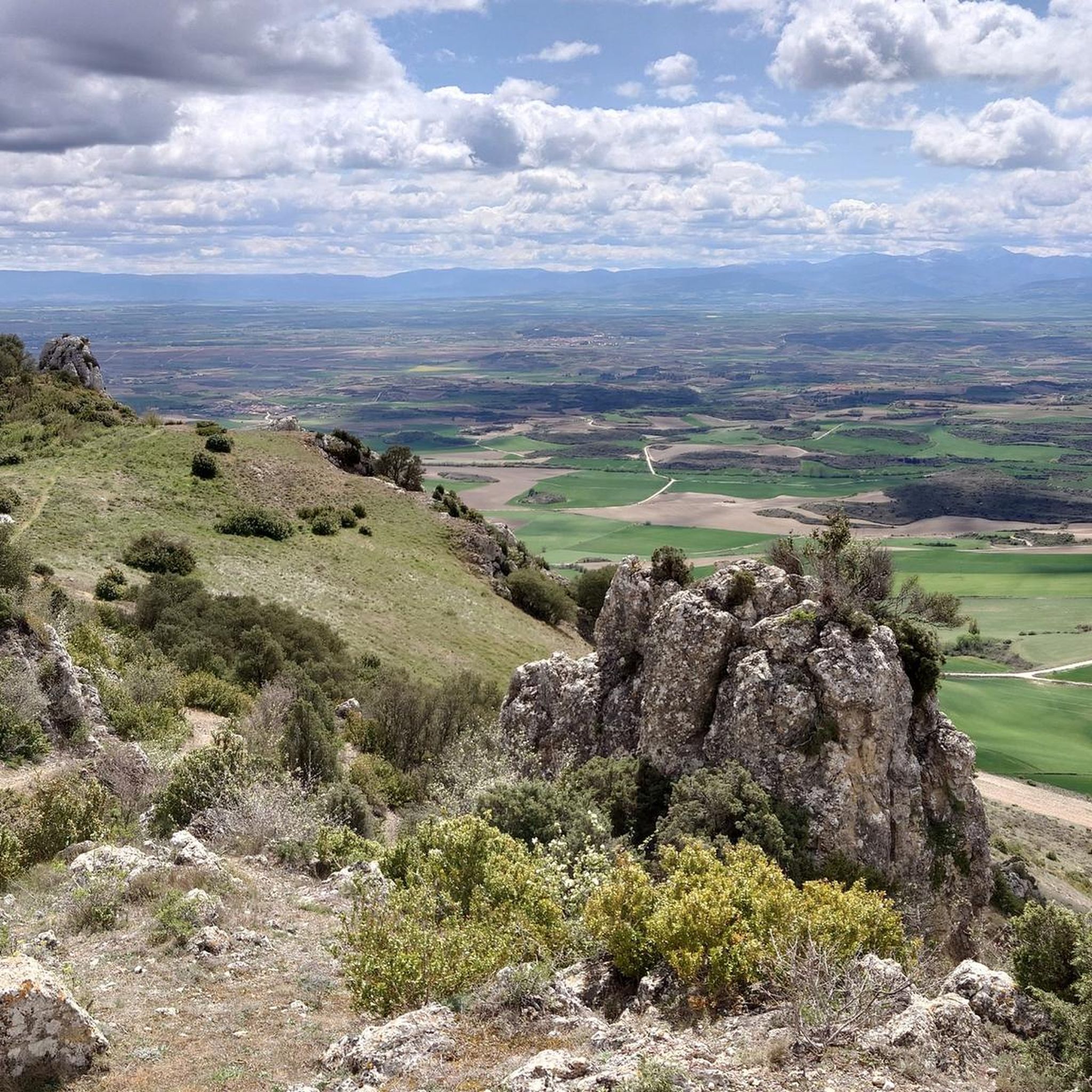
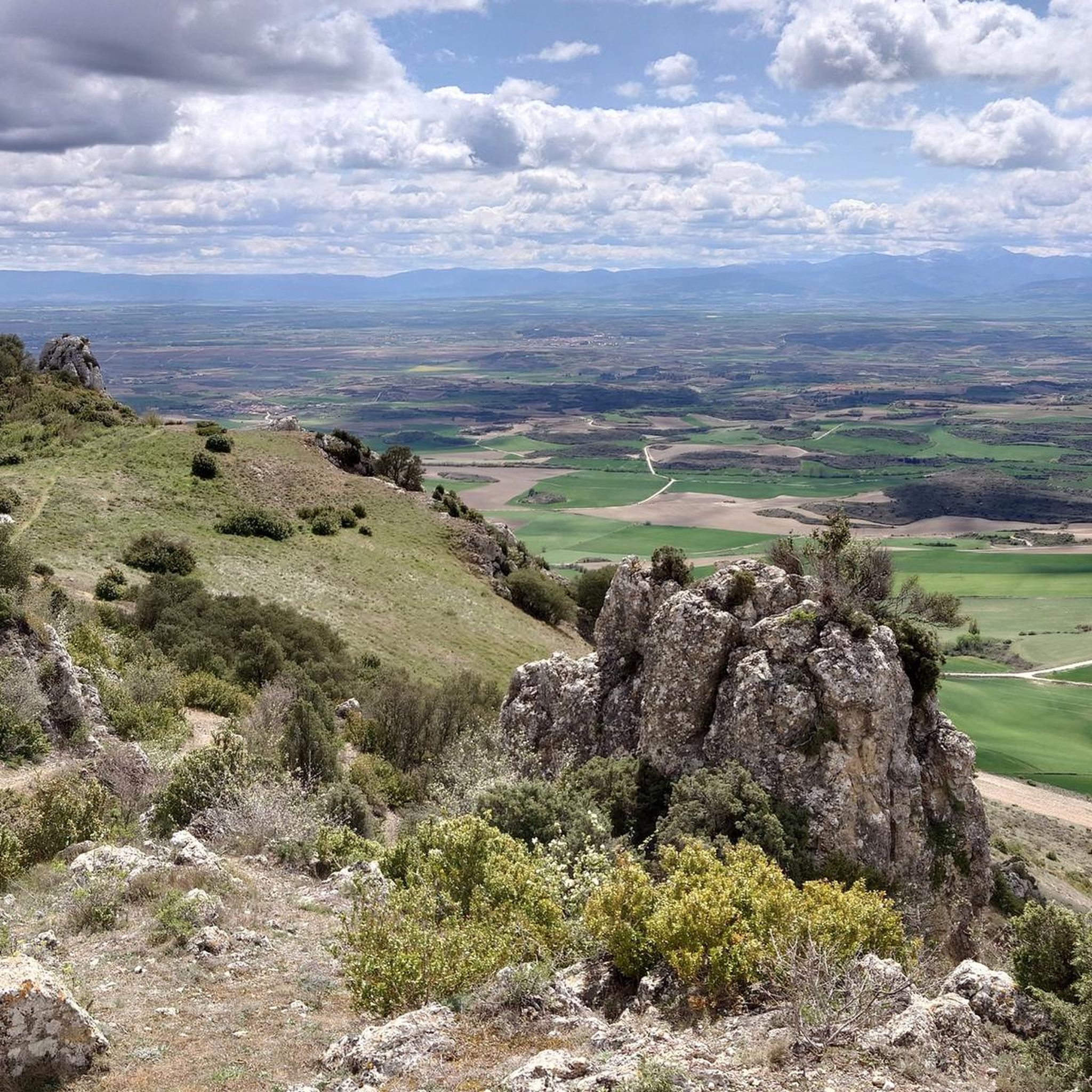
On the southern slope of the Obarenses Mountains we find this rock that offers impressive views of the plain at the foot of the massif itself.
2
0
Small refuge in the vicinity of the Residencia San Miguel and Mount La Paul.
3
0
Very close to Pico Zarata, and with such good views as that one. Crowned with a metal cross.
3
0
Very good views. Some last areas of the climb are a bit "slippery"
3
0
Very good walk from the picnic areas of San Juan del Monte.
3
0
With that curious name and such a cool mailbox, how not to upload it! The views are great. The last meters can be climbed with a rope tied to some rocks or, as I did, by a little path to the right.
0
0
Frequently Asked Questions
What kind of terrain can I expect when hiking around Cellorigo?
Hiking around Cellorigo primarily involves mountainous terrain within the Obarenes Mountains. You'll encounter diverse landscapes including forests, rivers, and elevated paths that offer panoramic views. The region's varied topography provides options for different skill levels, from gentle ascents to more challenging climbs.
How many hiking trails are available in the Cellorigo area?
There are over 150 hiking routes around Cellorigo listed on komoot. This includes a wide range of options, with 31 easy trails, 109 moderate routes, and 17 difficult paths, ensuring there's something for every hiker.
Are there any easy circular walks suitable for a relaxed outing?
Yes, Cellorigo offers several easy circular routes. A popular choice is the Peña Lengua — circular desde Cellorigo, which is an easy 3.3-mile (5.3 km) trail that takes approximately 1 hour 36 minutes to complete, offering pleasant views within the Obarenes Mountains.
What are some notable viewpoints or landmarks to see on a hike?
Cellorigo, known as 'the pulpit of La Rioja,' offers spectacular panoramic views from the village itself. Along the trails, you can discover several notable viewpoints and landmarks. Consider visiting the Balcón de Castilla, the Cruz de Motrico, or the historic Watchtower for impressive vistas. The Hermitage of San Juan del Monte is also an interesting religious building to encounter.
Are there any challenging routes for experienced hikers?
Absolutely. For experienced hikers seeking a challenge, the Galbárruli and Peñalrayo Peaks Loop is a difficult 6.4-mile (10.3 km) path that traverses peaks and provides extensive views of the mountainous landscape. There are 17 difficult routes in total around Cellorigo.
What do other hikers say about the trails in Cellorigo?
The hiking trails in Cellorigo are highly rated by the komoot community, with an average score of 4.3 stars from over 170 reviews. Hikers often praise the diverse terrain, the stunning panoramic vistas from elevated points, and the variety of routes available for different skill levels.
Can I find moderate difficulty trails around Cellorigo?
Yes, Cellorigo has a significant number of moderate trails, with 109 routes falling into this category. An example is the Peñalrayo Loop from Galbárruli, a 6.2 km route that offers a balanced challenge and rewarding scenery.
Are there any trails that lead to mountain summits?
Yes, several trails in the area lead to mountain summits, offering incredible views. You can find routes that take you to peaks like Peñalrayo, Peña la Abeja, or Rave. These summits provide excellent vantage points over the Obarenes Mountains and La Rioja Alta.
What is the best time of year to go hiking in Cellorigo?
The Obarenes Mountains, where Cellorigo is located, offer diverse hiking experiences throughout the year. While specific seasonal recommendations depend on your preferred conditions, spring and autumn generally provide pleasant temperatures and vibrant landscapes. Summer can be warm but is ideal for higher altitude routes, and winter offers a unique, often snowy, experience for those prepared for colder conditions.
Are there any trails that start from nearby villages?
Yes, some routes in the Cellorigo area originate from or pass through nearby villages. For instance, the La Paúl y Pico Zarata — circular desde San Miguel del Monte is a moderate 7 km circular route starting from San Miguel del Monte, offering another perspective of the region's beauty.
What kind of natural features define the hiking experience in Cellorigo?
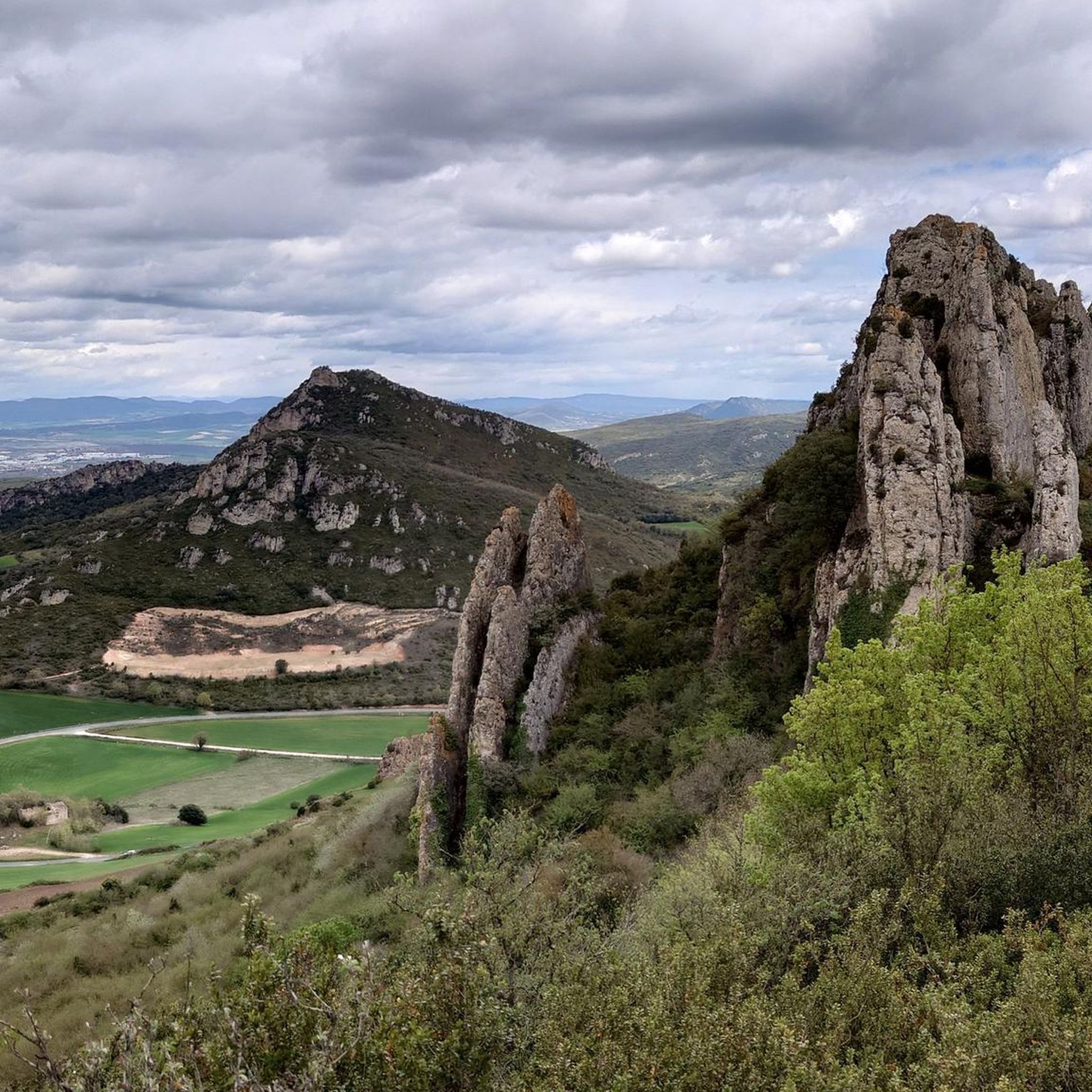
The hiking experience in Cellorigo is defined by its location within the Obarenes Mountains, characterized by a rich variety of natural features. You'll encounter diverse forests, winding rivers, and dramatic rock formations. The elevated position of Cellorigo itself ensures breathtaking panoramic views, making the natural scenery a highlight of any hike.
Most popular routes around Cellorigo
Most popular attractions around Cellorigo

Get inspired with the komoot mobile app


Explore more
Browse the best Hikes in other regions.
