The best mountain hikes around Sant Joan De Labritja
4.7
(3)
14
hikers
4
hikes
Mountaineering routes around Sant Joan De Labritja traverse the northern part of Ibiza, characterized by a rugged coastline, pine forests, and undulating hills. The terrain often features coastal paths with sea views and inland trails through Mediterranean vegetation. Elevations are moderate, offering varied ascents and descents suitable for mountaineering.
Best mountaineering routes around Sant Joan De Labritja
- The most popular mountaineering route is Es Culleram loop from Cala de Sant Vicent, a 5.8 miles (9.4 km) trail that takes…
Last updated: July 8, 2026
4.7
(3)
5
hikers
8.77km
02:38
250m
250m
Moderate mountaineering route. Good fitness required. Easily-accessible paths. Suitable for all skill levels.
3
hikers
12.8km
03:49
370m
370m
Moderate mountaineering route. Good fitness required. Easily-accessible paths. Suitable for all skill levels.

Sign up for free
4
hikers
12.5km
03:54
440m
440m
Moderate mountaineering route. Good fitness required. Easily-accessible paths. Suitable for all skill levels.
2
hikers
11.2km
03:30
420m
420m
Moderate mountaineering route. Good fitness required. Easily-accessible paths. Suitable for all skill levels.
Our route recommendations are based on thousands of hikes, rides, and runs completed by other people on komoot.
Start today with a free account
Your next adventure awaits.
Login or Signup
Popular around Sant Joan De Labritja
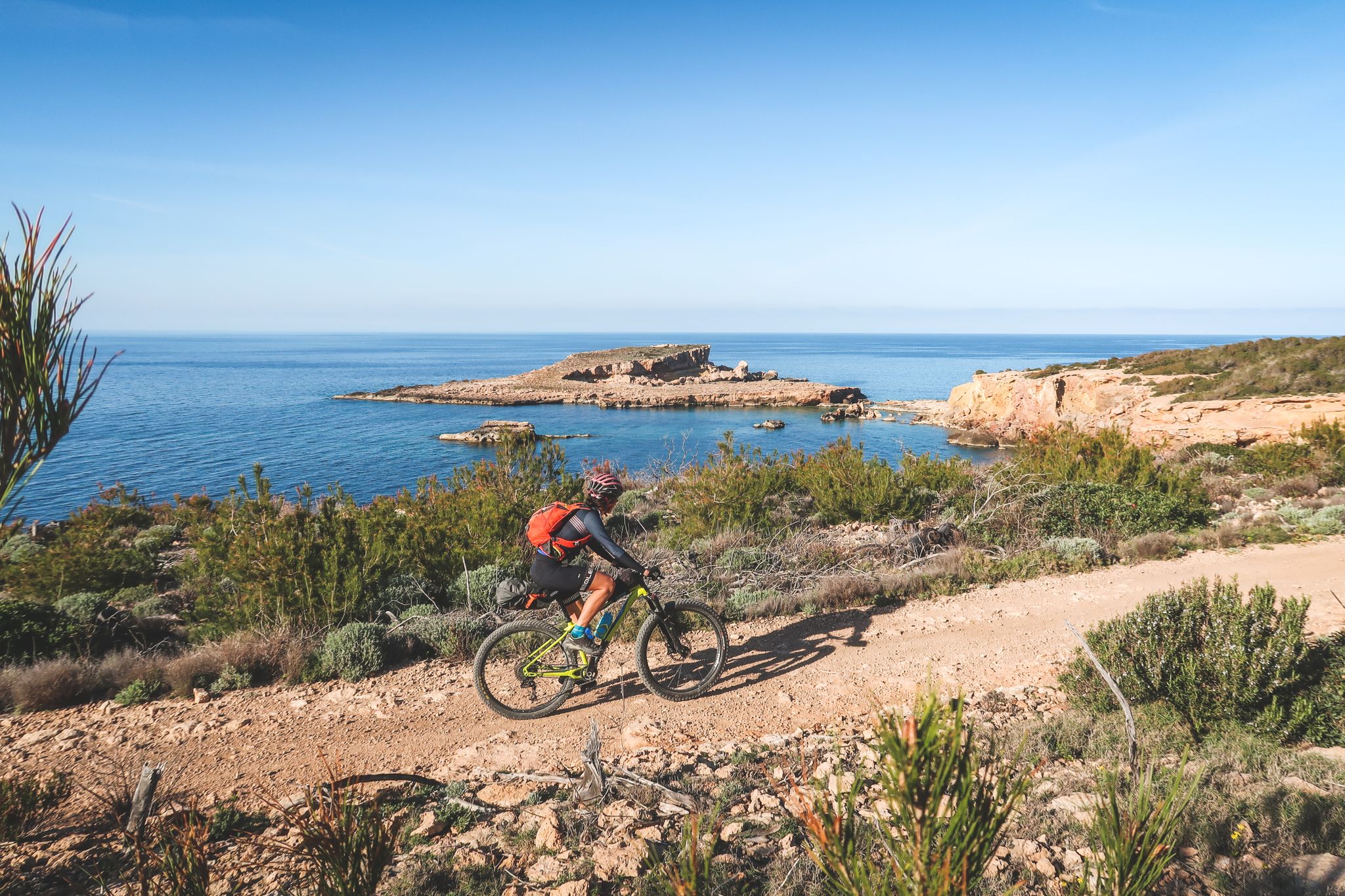
The White Island — MTB Tour of Ibiza
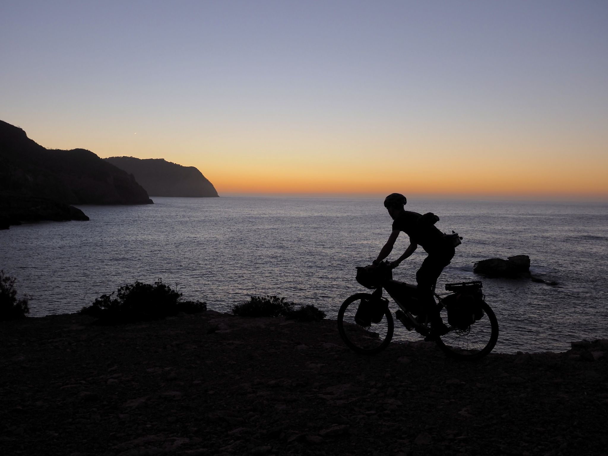
Island hopping in the Spanish Balearic Islands — the TransBaleares
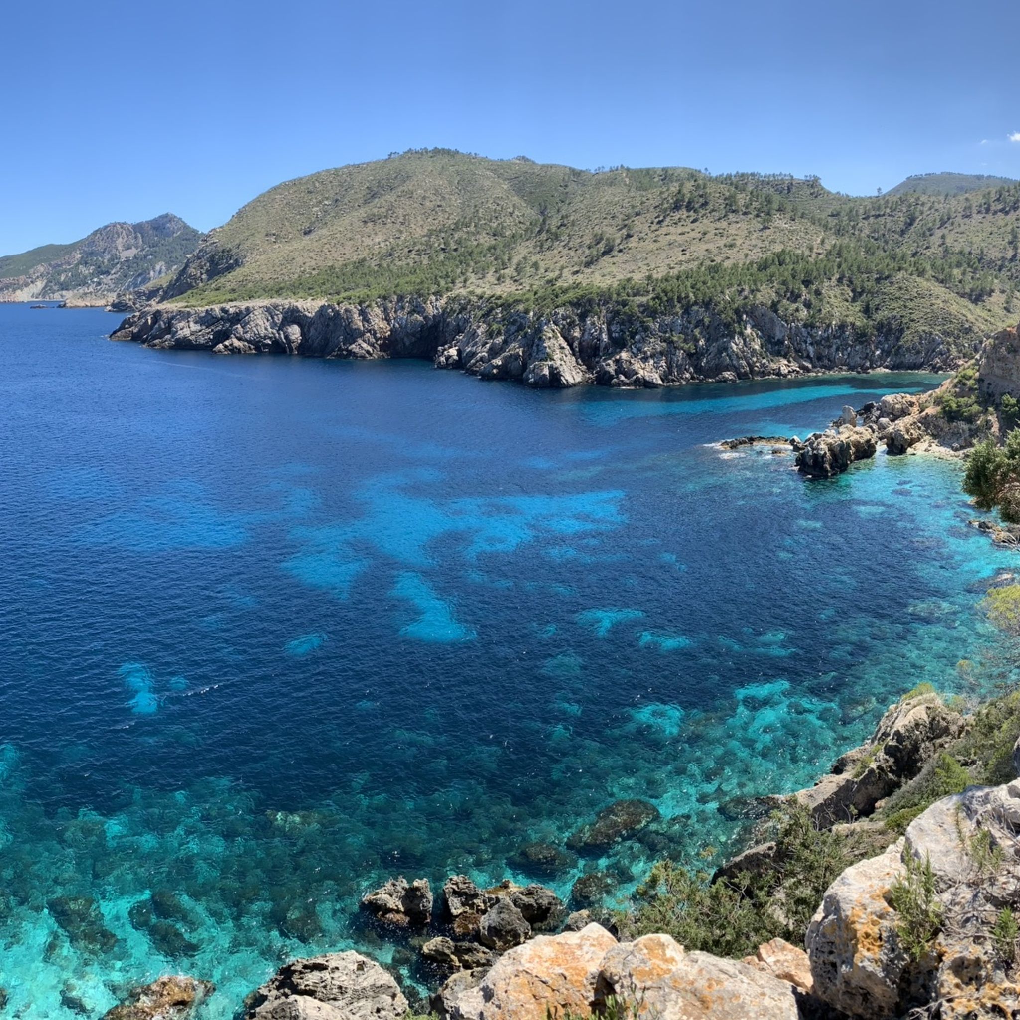
Hiking around Sant Joan De Labritja
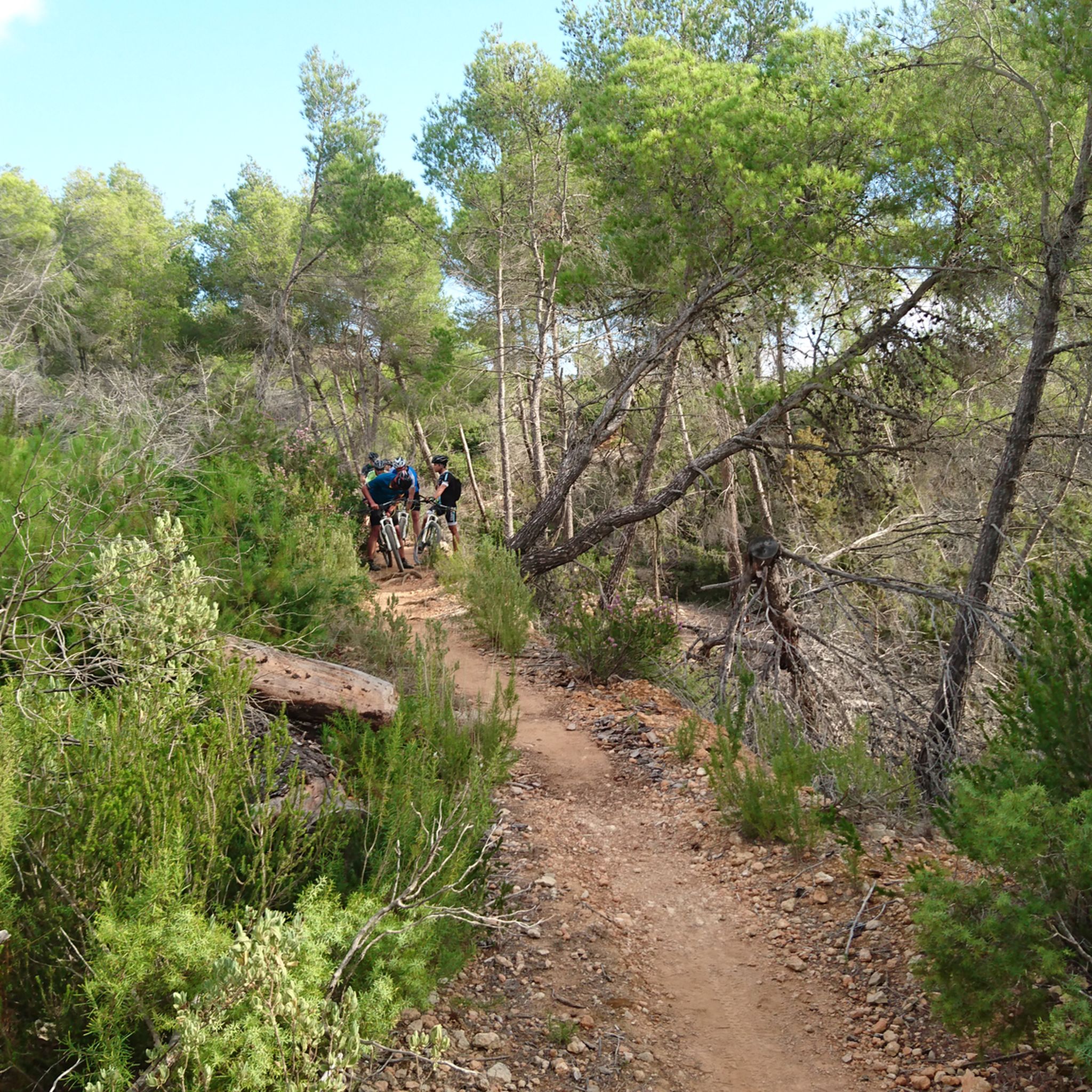
MTB Trails around Sant Joan De Labritja
Cycling around Sant Joan De Labritja
Running Trails around Sant Joan De Labritja
Road Cycling Routes around Sant Joan De Labritja

Gravel biking around Sant Joan De Labritja
Other adventures around Sant Joan De Labritja


Tips from the Community

So far the most beautiful path we have found in Ibiza. A circular route can be hiked using roads with little traffic.
0
0

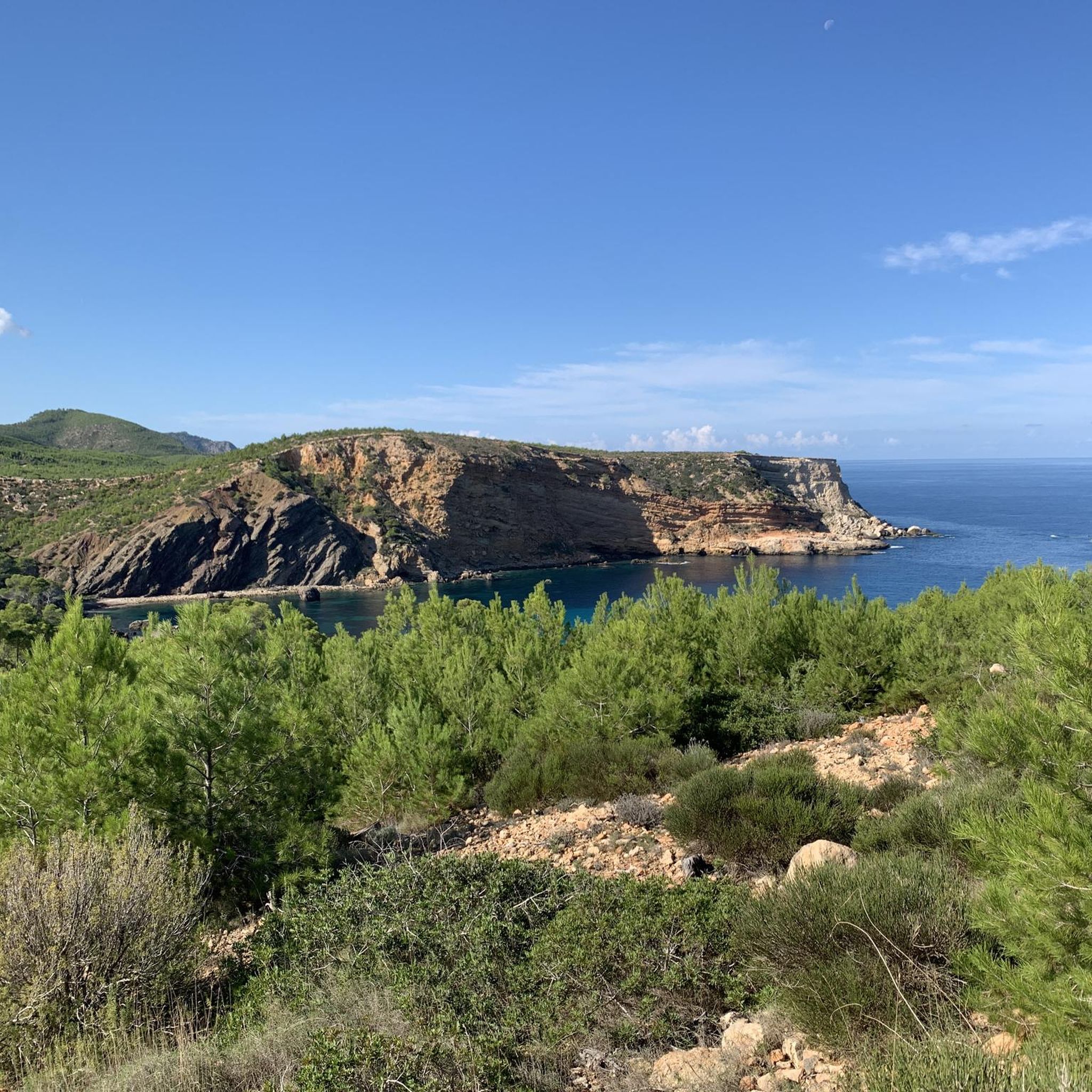
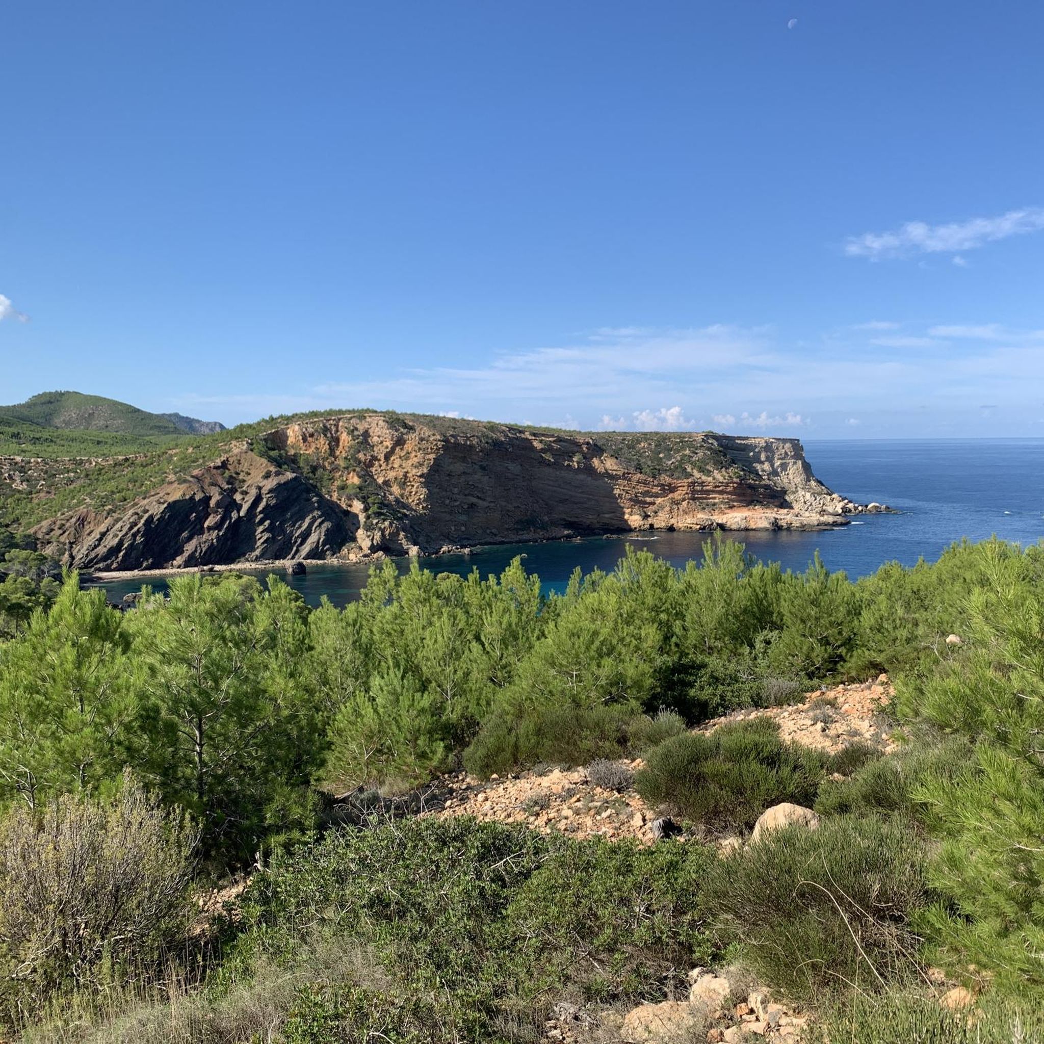
Beautiful bay in Portinatx, there are also opportunities to look for a shady spot
3
0

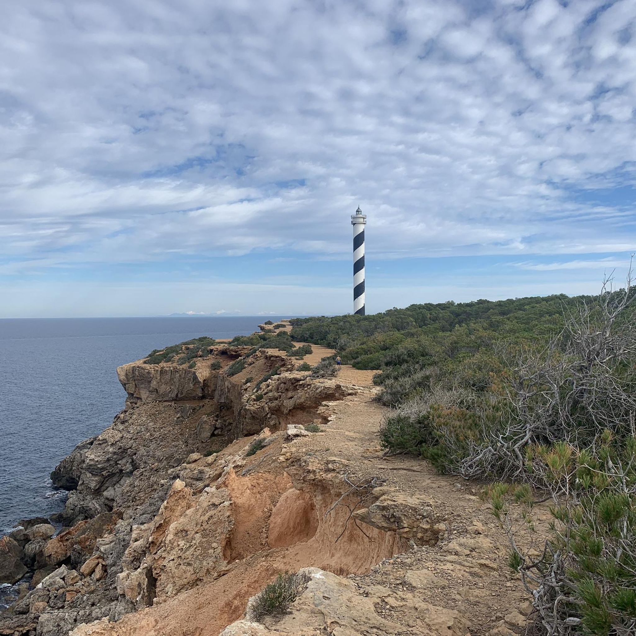
Near the coastal town of Portinatx is this large lighthouse, built in 1978 and painted with black and white spirals. It is the tallest lighthouse in the Balearic Islands with a 52-meter tower.
2
0

Faro more north of the island of Ibiza, located near Sant Joan de Labritja, in the archipelago of the Balearic Islands.
1
0

Beautiful and peaceful part with a small beach and a good place to eat
0
1
Beautiful adventurous route along the rocky coastline
1
0

This is where the great hiking trail to the lighthouse begins. Access from the parking lot is very hidden, after that just follow the markings (white over yellow horizontal line).
0
0

The coast and the panorama are amazing 🥰
1
0
Frequently Asked Questions
How many mountaineering routes are available in Sant Joan De Labritja?
There are 4 mountaineering routes documented in Sant Joan De Labritja on komoot, offering a variety of experiences across the region's diverse terrain.
What is the best time of year for mountaineering in Sant Joan De Labritja?
The best time for mountaineering in Sant Joan De Labritja is typically during the spring (April-May) and autumn (September-October) months. The weather is milder and more pleasant for outdoor activities, avoiding the intense heat of summer and potential winter rains.
Are there any circular mountaineering routes in Sant Joan De Labritja?
Yes, several routes in Sant Joan De Labritja are circular. For example, you can explore the Es Culleram loop from Cala de Sant Vicent, the View of Cala de Portinatx – Moscarter Lighthouse loop from Portinatx, or the Es Portitxol loop from VÉNDA DE RUBIÓ 64, all designed as loops for convenient exploration.
What is the typical duration for mountaineering routes in this area?
The mountaineering routes in Sant Joan De Labritja typically range from approximately 2 hours 48 minutes to 3 hours 54 minutes to complete. For instance, the Es Culleram loop from Cala de Sant Vicent takes about 2 hours 48 minutes, while the Es Portitxol loop from VÉNDA DE RUBIÓ 64 is closer to 3 hours 54 minutes.
Are there beginner-friendly mountaineering routes in Sant Joan De Labritja?
While all listed routes are currently rated as 'moderate', the region's terrain, characterized by moderate elevations and well-defined paths, offers accessible options. The Es Culleram loop from Cala de Sant Vicent, at 5.8 miles (9.4 km) with 856 feet (261 meters) of elevation gain, could be a good starting point for those new to mountaineering.
Is parking available near the mountaineering routes in Sant Joan De Labritja?
Parking is generally available at or near the starting points of many routes, especially in popular areas like Cala de Sant Vicent or Portinatx. It's advisable to check local signage and regulations upon arrival, particularly during peak season.
Can I bring my dog on the mountaineering routes in Sant Joan De Labritja?
Many trails in Sant Joan De Labritja are dog-friendly, allowing you to enjoy the outdoors with your canine companion. However, always keep your dog on a leash, especially near wildlife or livestock, and ensure you carry enough water for both of you.
What kind of wildlife can I expect to see while mountaineering?
While mountaineering in Sant Joan De Labritja, you might spot various Mediterranean birds, such as Audouin's gulls along the coast or various raptors soaring overhead. The pine forests are home to small mammals, and the diverse flora includes wild rosemary, thyme, and various orchids depending on the season.
What interesting landmarks or natural sights can I see along the mountaineering routes?
The routes offer stunning coastal views and opportunities to discover local landmarks. You can see the iconic Moscarter Lighthouse on the View of Cala de Portinatx – Moscarter Lighthouse loop from Portinatx. Other notable sights include the beautiful Cala d'en Serra and the unique rock formations at Punta des Moscarter.
What do other mountaineers enjoy about the routes in Sant Joan De Labritja?
The mountaineering routes in Sant Joan De Labritja are highly rated by the komoot community, with an average score of 4.7 stars. Reviewers often praise the stunning coastal views, the tranquility of the pine forests, and the well-maintained paths that make for an enjoyable outdoor experience.
Are permits required for mountaineering in Sant Joan De Labritja?
Generally, permits are not required for mountaineering on the established trails in Sant Joan De Labritja. However, always respect private property and any local regulations, especially if venturing off marked paths.
Are there any cafes or places to stop for refreshments along the routes?
While the routes themselves might not have direct cafes, many start or pass near coastal villages like Cala de Sant Vicent or Portinatx, where you can find restaurants and cafes to refuel before or after your hike. It's always a good idea to carry sufficient water and snacks.
Most popular routes around Sant Joan De Labritja
Most popular attractions around Sant Joan De Labritja

Get inspired with the komoot mobile app


Explore more
Browse the best Mountain Hikes & Routes in other regions.
