The best walks and hikes around A Estrada
4.3
(1691)
11,270
hikers
111
hikes
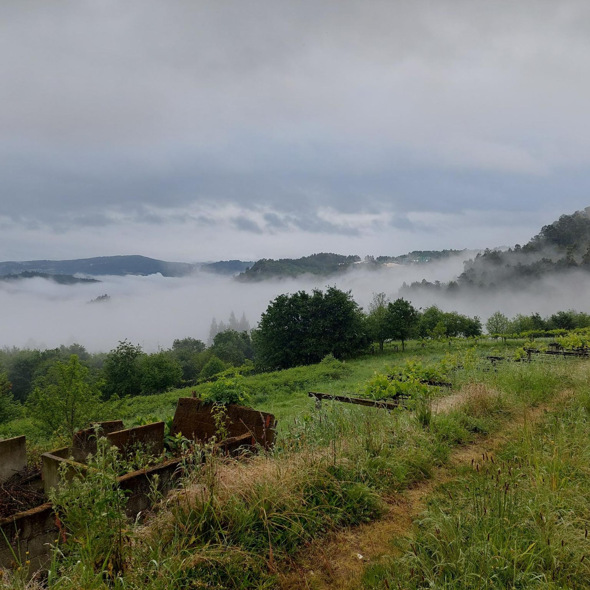
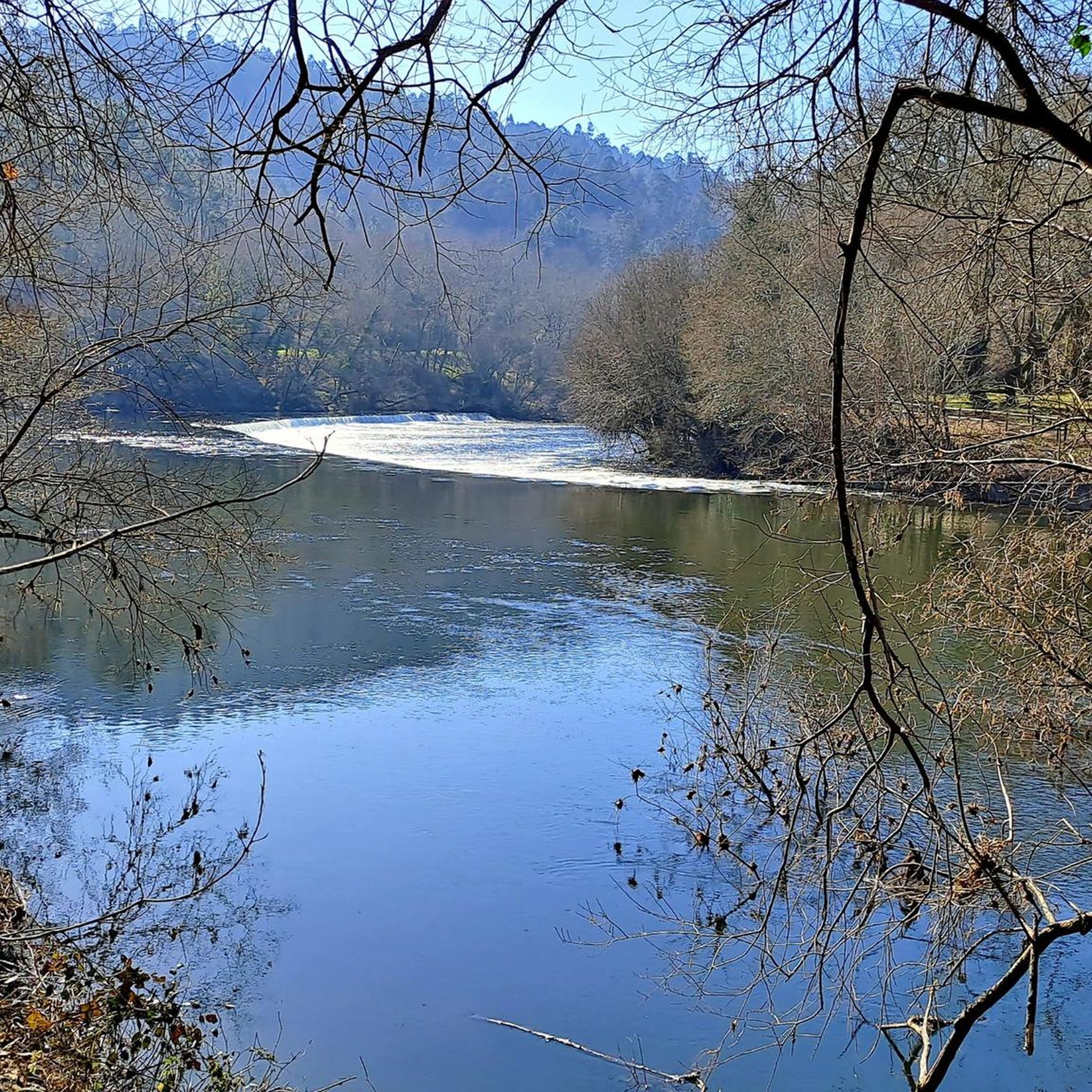
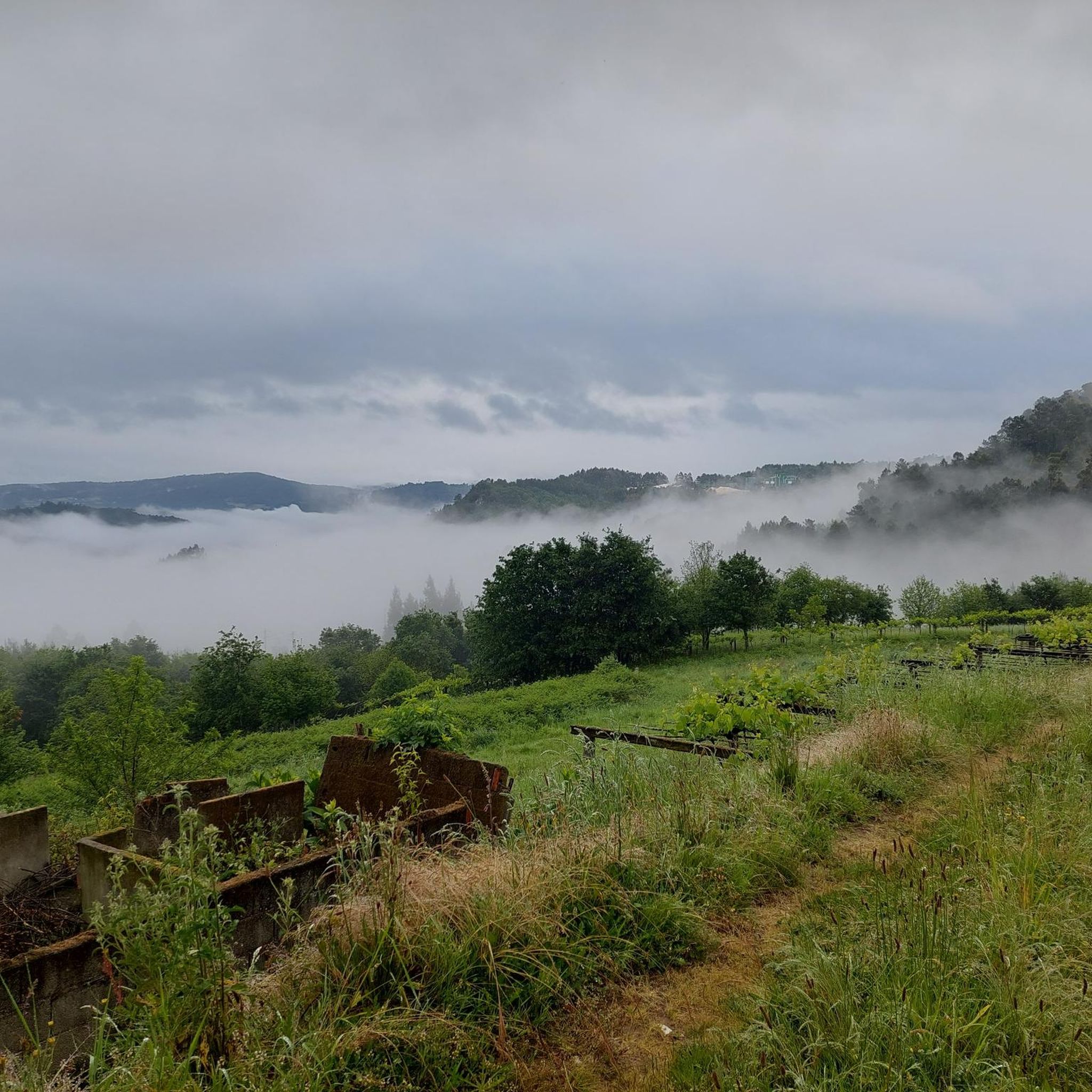
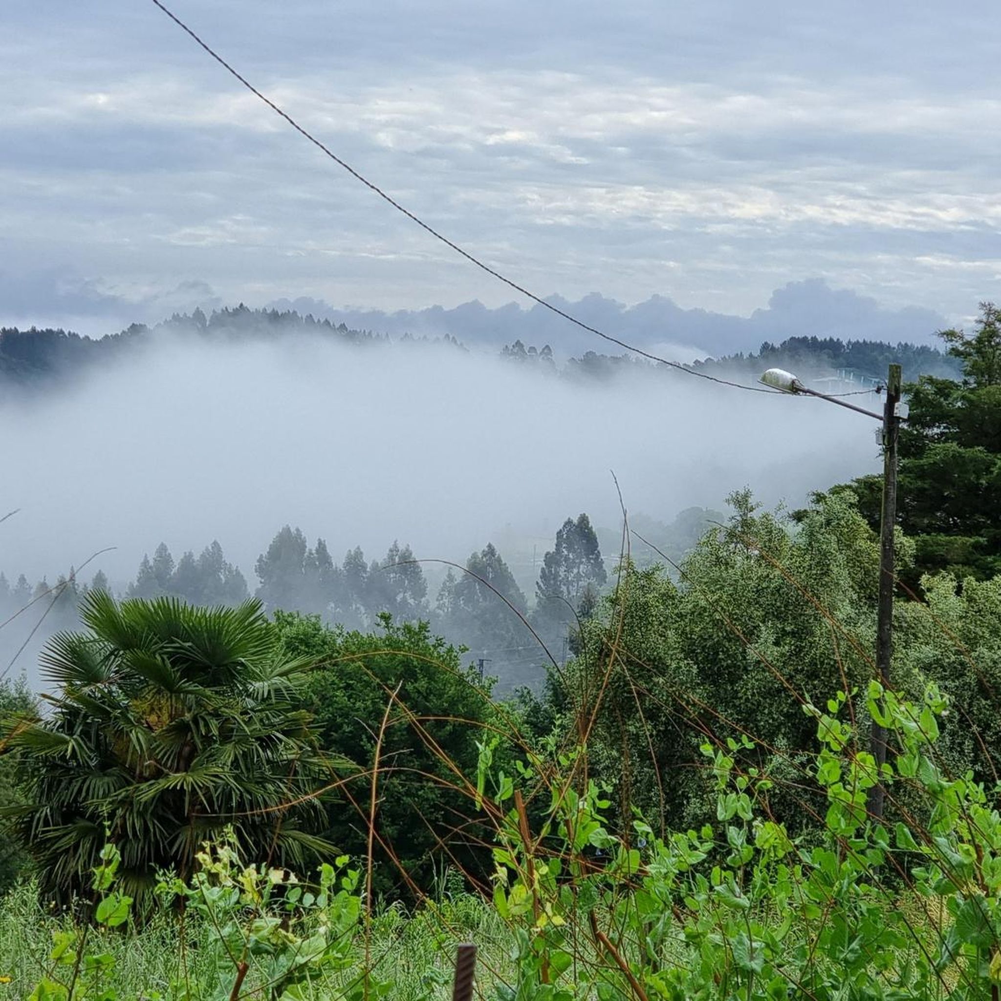
Hiking around A Estrada, located in the province of Pontevedra, Spain, offers diverse natural features for outdoor activities. The region is characterized by lush forests, varied terrain, and significant riverine ecosystems, particularly along the River Ulla. Trails range from gentle paths through wooded areas to more challenging routes with notable elevation gains, providing options for different skill levels.
Best hiking trails around A Estrada
- The most popular hiking route is Río Ulla – Xirimbao trail, a 4.1 miles (6.6…
Last updated: August 12, 2026
3.8
(4)
8
hikers
6.55km
02:06
80m
80m
Moderate hike. Good fitness required. Easily-accessible paths. Suitable for all skill levels.
4
hikers
18.7km
05:04
260m
260m
Hike the difficult 11.6-mile San Xoán da Cova Trail along the Ulla River, featuring the Gundián viewpoint and historic Reboredo mill.

Sign up for free
3.0
(1)
2
hikers
22.4km
06:35
630m
630m
Hike the difficult 13.9-mile Rivadulla – Ulla River trail through Monte Sacro, featuring 2083 feet of elevation gain and river views.
4.9
(10)
67
hikers
6.21km
01:36
30m
30m
Easy hike. Great for any fitness level. Easily-accessible paths. Suitable for all skill levels.
4.9
(10)
71
hikers
9.23km
02:23
40m
40m
Moderate hike. Good fitness required. Easily-accessible paths. Suitable for all skill levels.
Get access to more routes and recommendations from other explorers.
Sign up for free
Already have an account?
Our route recommendations are based on thousands of hikes, rides, and runs completed by other people on komoot.
Start today with a free account
Your next adventure awaits.
Login or Signup
Tips from the Community

Paserela Mariola suspended pedestrian bridge, over the Ulla river in Xirimbao is now a famous recreational area. The bridge was built in 1964 by the engineer José Darque for the then dictator Franco
3
0
From this hill you would have a spectacular view of the Gundián Bridge in the Paso da Cova. The Gundián Bridge from 1958 and the modern and monumental high-speed train viaduct. The bridge is more than 100 m high and crosses the impressive Ulla valley
2
0
Rising 600m, Pico Sacro south of Santiago de Compostela has been guiding travelers since the beginning of time. The peak offers spectacular views of the surrounding valleys
1
0
Spectacular viewpoint of the Ulla bridges including the famous arched train bridge
1
0
An isolated mountain peak, giving it a unique point of reference in the surrounding landscape. The top of Pico Sacro is the first place from where you can see the towers of the church of Santiago de Compostela
2
1

Next to the Bridge there is a river beach with several services.
0
0

The exact date of the current bridge is not known, even though historians place its construction around the 14th-15th centuries, replacing or modifying an earlier bridge, possibly Roman, related to the 19th road of the Antonine itinerary, which connected Braga with Lugo and crossed the "Pons Vellegia" (Pontevea) coming from Aquis Celenis (Cuntis).
4
1
According to many, this country house is home to one of the most fascinating gardens in Galicia due to its extraordinary botanical value.
5
1
Frequently Asked Questions
How many hiking trails are available in A Estrada?
A Estrada offers a wide variety of hiking experiences, with nearly 100 distinct trails recorded on komoot. These routes cater to all levels, from easy strolls to more challenging ascents.
What kind of terrain can I expect on hikes in A Estrada?
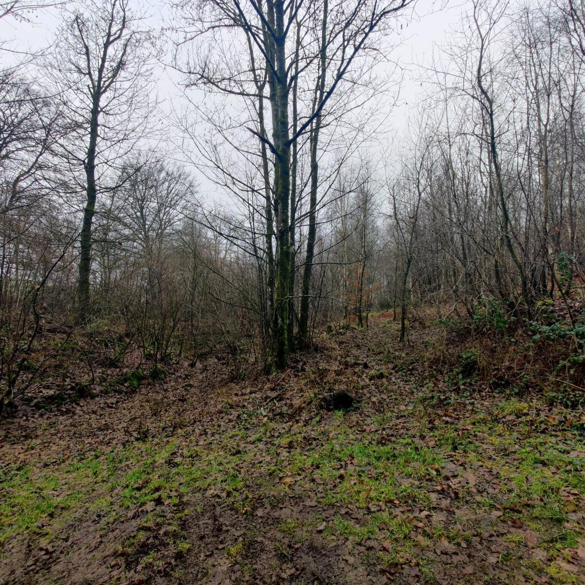
Hiking trails in A Estrada feature diverse terrain, including lush riverine forests, dirt paths, and wooden walkways. You'll find routes winding along the River Ulla, through dense woodlands, and across varied landscapes that can include more rugged areas with vegetation and rocks.
Are there easy hiking trails suitable for beginners or families in A Estrada?
Yes, A Estrada has over 30 easy hiking routes perfect for beginners or families. Many of these trails are well-maintained and offer gentle gradients. For example, the area around the Fervenza de Callobre (Callobre Waterfall) is known for its relatively easy and circular routes suitable for all ages. Another option is the Pontevea Medieval Bridge loop from Pontevea, which is an easy 6.4 km hike.
Are there challenging hikes for experienced trekkers in A Estrada?
Absolutely. For experienced trekkers seeking a challenge, A Estrada offers several difficult routes. The San Xoán da Cova Trail is a difficult 18.7 km path with significant elevation changes. Another demanding option is the Pico Sacro and Ulla River Loop Trail, a 22.4 km route leading through river valleys and towards the Pico Sacro hill, often taking over six hours to complete.
What natural features or landmarks can I see along the hiking trails?
A Estrada's trails are rich with natural beauty and historical points of interest. You can explore riverine ecosystems along the River Ulla, discover lush forests, and visit picturesque waterfalls like the Fervenza de Callobre. Notable landmarks include the Gundián bridges and the medieval bridge of A Burga da Pontevea. For a stunning waterfall, consider visiting the Fervenza do Toxa Waterfall, a significant natural monument in the region.
Are there any circular hiking routes in A Estrada?
Yes, A Estrada features several circular hiking routes, which are popular for their convenience. The Region Research mentions the 'Ruta Circular do Pico Sacro e Río Ulla' for river views and elevation gains. Additionally, the Pontevea Medieval Bridge loop from Pontevea is an easy circular option, and the Fervenza de Callobre also offers a relatively easy circular route.
What do other hikers enjoy most about hiking in A Estrada?
The trails in A Estrada are highly rated by the komoot community, with an average score of 4.4 stars from over 600 reviews. Hikers often praise the diverse natural landscapes, including the beautiful riverine ecosystems and lush forests, as well as the variety of terrain that offers options for all ability levels.
Can I find hikes that include historical or cultural elements?
Many hiking paths in A Estrada integrate historical and cultural elements. Routes like the PR-G 96 Castro Route pass through landmarks such as the Gundián bridges, the church of San Miguel, and an old 'Camiño Real' (Royal Way). The Pontevea Medieval Bridge loop from Pontevea also offers a chance to see a medieval bridge, blending outdoor activity with cultural exploration.
Are there any specific viewpoints or summits accessible via hiking trails?
Yes, for those seeking panoramic views, the Pico Sacro is a notable summit in the region. The Pico Sacro and Ulla River Loop Trail specifically leads towards this hill, offering rewarding vistas.
When is the best time of year to go hiking in A Estrada?
A Estrada's lush greenery suggests that spring and autumn are ideal for hiking, offering pleasant temperatures and vibrant natural colors. Summer can also be enjoyable, especially for routes along rivers or through shaded forests. Winter hiking is possible, but some trails might be wet or muddy due to rainfall.
Are there any recreational areas that serve as good starting points for hikes?
O Areal de Berres is highlighted as a spectacular recreational area that serves as an excellent starting point for hikes, particularly for routes along the River Ulla. It features sculptures amidst its natural setting, making it a pleasant spot to begin or end your outdoor adventure.
Are there any trails that follow the River Ulla?
The River Ulla is a prominent natural feature in A Estrada, and several trails follow its course. The Río Ulla – Xirimbao trail is a moderate 6.6 km route that offers beautiful riverine views. The 'Paseo Fluvial Berres-Ulla' also provides a prime example of riverine forests and recreational areas along the Ulla.
Most popular routes around A Estrada
Most popular attractions around A Estrada

Get inspired with the komoot mobile app


Explore more
Browse the best Hikes in other regions.
