The best MTB trails around Marjaliza
3.0
(2)
52
riders
21
rides
Mountain biking around Marjaliza offers a variety of routes through the Montes de Toledo region in central Spain. The terrain features a mix of open landscapes, wooded areas, and rocky outcrops, providing diverse conditions for mountain bikers. Routes often include ascents to viewpoints and pass by historical windmills, characteristic of the area. The region's natural environment is shaped by its proximity to the Algodor River basin and the foothills of the Montes de Toledo.
Best mountain bike trails around Marjaliza
…Last updated: June 27, 2026
3
riders
Easy mountain bike ride. Great for any fitness level. Suitable for all skill levels.
11
riders
58.6km
05:57
1,190m
1,190m
Hard mountain bike ride. Very good fitness required. Advanced riding skills necessary.

Sign up for free
5.0
(1)
5
riders
38.4km
03:05
210m
210m
Moderate mountain bike ride. Good fitness required. Suitable for all skill levels.
2
riders
48.1km
03:44
570m
570m
Moderate mountain bike ride. Good fitness required. Suitable for all skill levels.
4
riders
38.3km
03:04
350m
350m
Moderate mountain bike ride. Good fitness required. Suitable for all skill levels.
Get access to more routes and recommendations from other explorers.
Sign up for free
Already have an account?
Our route recommendations are based on thousands of hikes, rides, and runs completed by other people on komoot.
Start today with a free account
Your next adventure awaits.
Login or Signup

Tips from the Community

L'Arco de San Huberto is a charming point of interest and a natural/historical monument located in the Sierra de Los Yébenes (Montes de Toledo, Spain). The place is traditionally linked to the Capilla de San Huberto, protector of hunters, and is a much-appreciated stop on excursions in the surroundings. To reach and enjoy this corner of nature, you can use specific routes depending on your sport.
0
0

Pico or Risco del Amor is the highest point in the Sierra del Castañar mountain range, at 1380 meters. The climb will make you sweat, but once you reach the top, it will have been worth it, as you'll be rewarded with the best views of the Sierra and the Dehesa del Castañar.
1
0

Located in the town center of Manzaneque, opposite the Town Hall, in the province of Toledo, its construction is primarily attributed to Don Íñigo de Ávalos (15th century), although the heraldic shields of earlier lineages (Figueroa and Orozco) suggest a possible earlier foundation. In the 14th century, it was owned by Doña María de Orozco and her husband, Lorenzo Suárez de Figueroa. It later passed to Ávalos, and in 1487 was acquired by Álvarez de Toledo, secretary to the Catholic Monarchs. Abandoned and in ruins after the 16th and 17th centuries, it was restored in the early 20th century and remodeled in the 1970s, becoming a Site of Cultural Interest in 1985.
4
0
It is located next to the Tourist Information office.
7
0
It is located next to the Tourist Information office, where they provide information about guided tours.
4
0
La Umbría del Madroñal is a recreational and natural area located in the municipality of Orgaz (Toledo), within the Montes de Toledo mountain range. It is an ideal place for hiking and enjoying nature, with several marked trails and a protected environment.
4
0
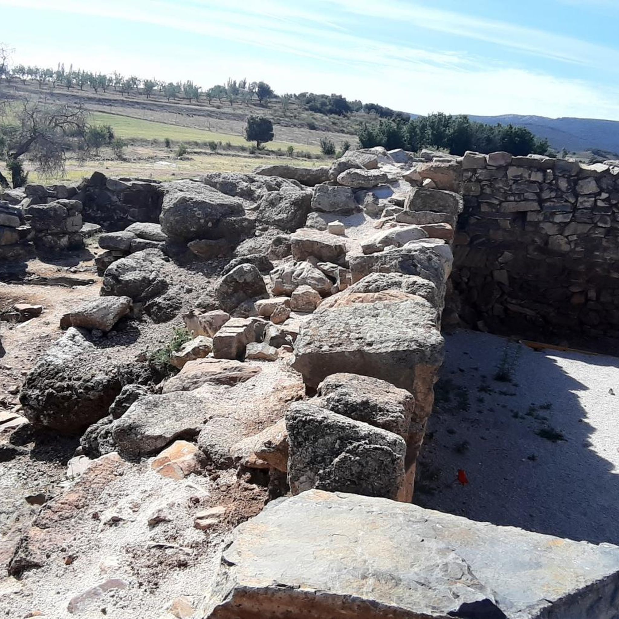
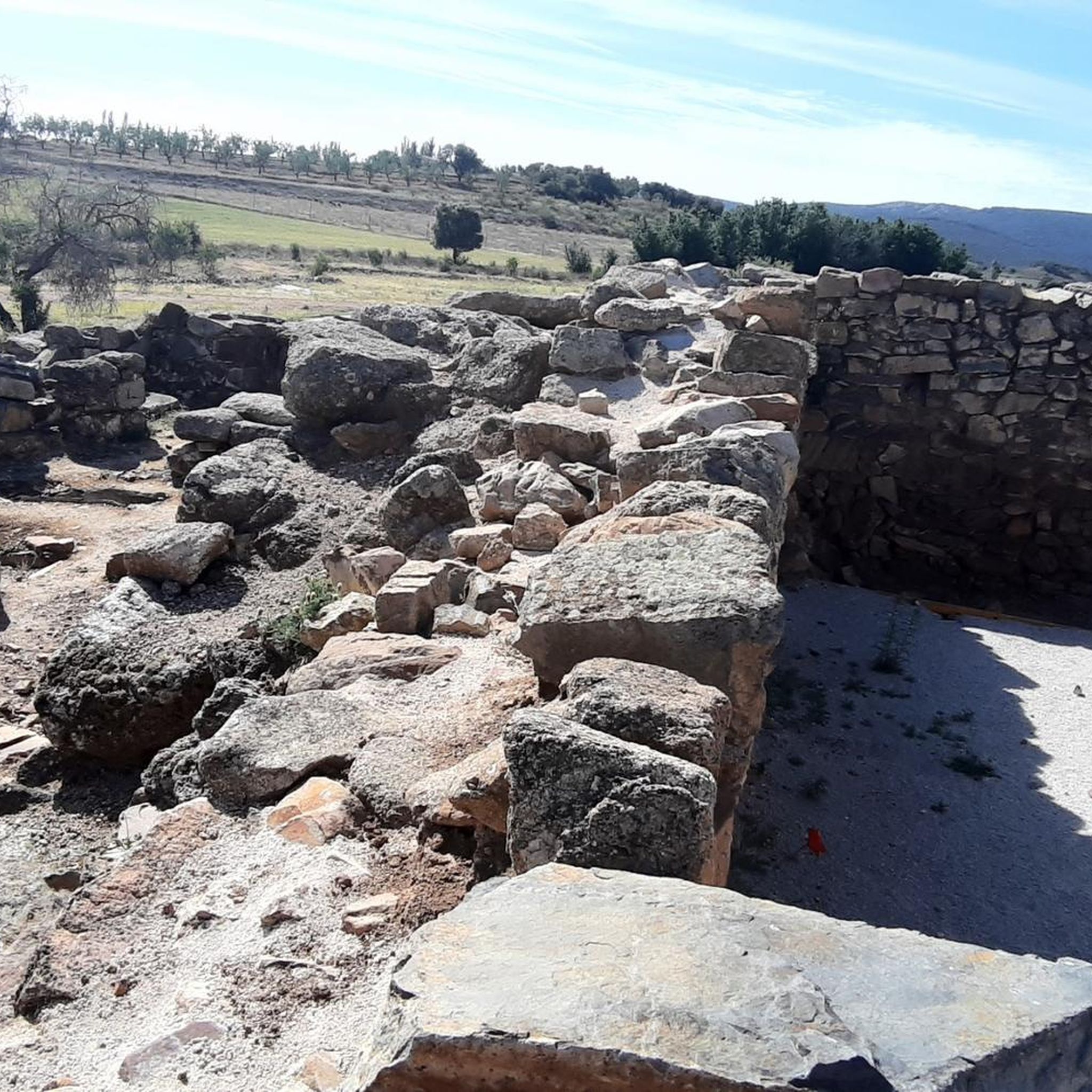
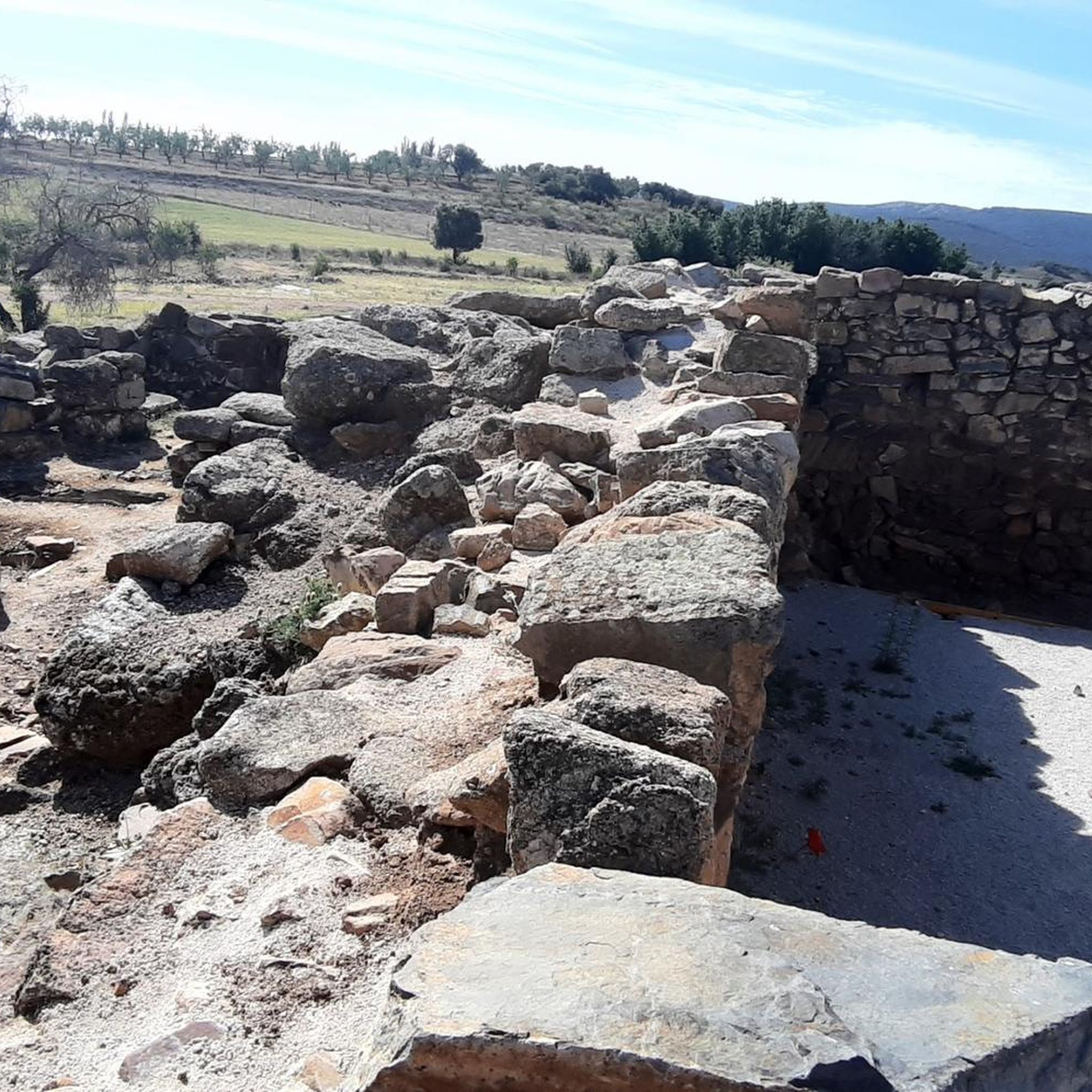
Near Orgaz (Toledo) there are several underground and prehistoric archaeological sites of great interest, especially linked to Visigothic and earlier times.
5
0

Beautiful area of the Toledo Mountains with a picnic area and parking. Lovely, easy hiking trails for the whole family.
0
0
Frequently Asked Questions
How many mountain bike trails are there around Marjaliza?
There are over 20 mountain bike trails available around Marjaliza, offering a variety of options for different skill levels and preferences.
What types of terrain can I expect on mountain bike trails near Marjaliza?
The terrain around Marjaliza, situated in the Montes de Toledo region, features a mix of open landscapes, wooded areas, and rocky outcrops. You'll encounter rolling hills, open plains, and forested sections, with routes often including ascents to viewpoints.
Are there easy mountain bike trails suitable for beginners in Marjaliza?
Yes, there are easy mountain bike trails available. For instance, the Los Riscos de Yébenes – circular por los molinos de viento y mirador Algodor is an easy 9.3-mile route that offers scenic views of windmills and the Algodor viewpoint.
Are there challenging mountain bike routes for experienced riders?
Absolutely. For experienced riders seeking a challenge, the Umbría del Madroñal – Vereda del Fraile loop from Palacio de los Hitos is a difficult 35.8-mile path with significant elevation gain through varied terrain.
What landmarks or points of interest can I see while mountain biking around Marjaliza?
Many routes pass by historical landmarks and offer panoramic viewpoints. You might encounter historical windmills, characteristic of the area, and enjoy views of the Algodor River basin. Notable nearby attractions include the Castle of the Counts of Orgaz and the settlement of Los Yébenes.
Are there circular mountain bike routes in the Marjaliza area?
Yes, many routes around Marjaliza are designed as loops. Examples include the Los Riscos de Yébenes – circular por los molinos de viento y mirador Algodor and the San Huberto Arch, Los Yébenes – Los Yébenes loop from Los Yébenes.
What is the best time of year for mountain biking in Marjaliza?
The Montes de Toledo region generally experiences hot, dry summers and mild winters. Spring and autumn typically offer the most pleasant temperatures for mountain biking, with comfortable conditions for longer rides. Winter can also be suitable, though some trails might be affected by rain.
What do other mountain bikers enjoy most about the trails in Marjaliza?
The mountain bike trails around Marjaliza are highly rated by the komoot community, with an average score of 3.0 stars. Riders often appreciate the diverse terrain, which includes rolling hills and forested sections, as well as the historical landmarks and panoramic viewpoints encountered along the routes.
Are there family-friendly mountain bike trails near Marjaliza?
While specific 'family-friendly' designations are not provided, the area offers easy-grade routes that could be suitable for families with some biking experience. The Los Riscos de Yébenes – circular por los molinos de viento y mirador Algodor, for example, is an easy route that might be a good option.
Is there parking available for mountain bikers in Marjaliza?
While specific parking areas for mountain bikers are not detailed, you can typically find parking in or near the towns and villages that serve as starting points for these routes, such as Los Yébenes or near the Palacio de los Hitos.
Can I find places to eat or drink along the mountain bike routes?
The routes often pass through or near local towns and villages like Los Yébenes or Orgaz, where you can find cafes, restaurants, or shops to refuel. It's always a good idea to carry sufficient water and snacks, especially on longer rides.
What is the longest mountain bike trail available in Marjaliza?
One of the longest routes is the Umbría del Madroñal – Vereda del Fraile loop from Palacio de los Hitos, which spans 35.8 miles (57.6 km) and is classified as difficult due to its significant elevation gain.
Most popular attractions around Marjaliza

Get inspired with the komoot mobile app


Explore more
Browse the best MTB trails in other regions.
