The best walks and hikes around Peñacerrada-Urizaharra
4.5
(163)
938
hikers
26
hikes
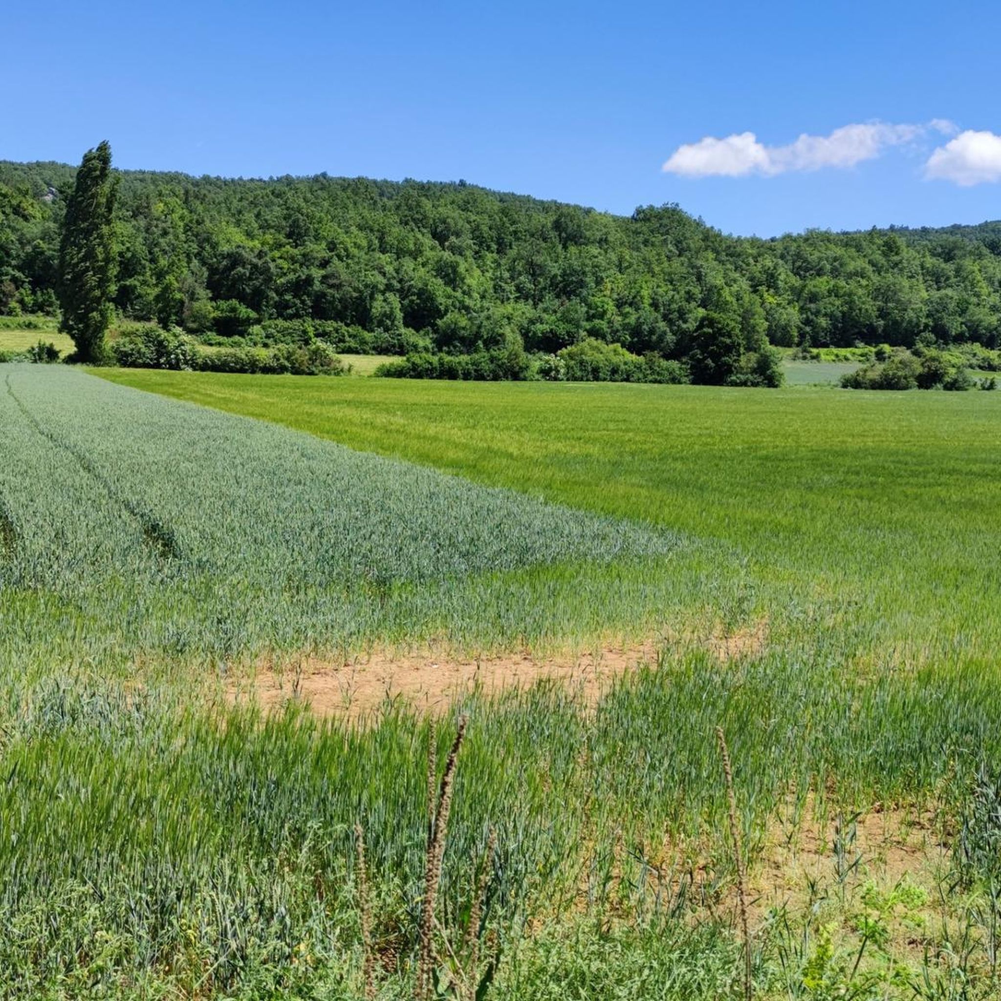
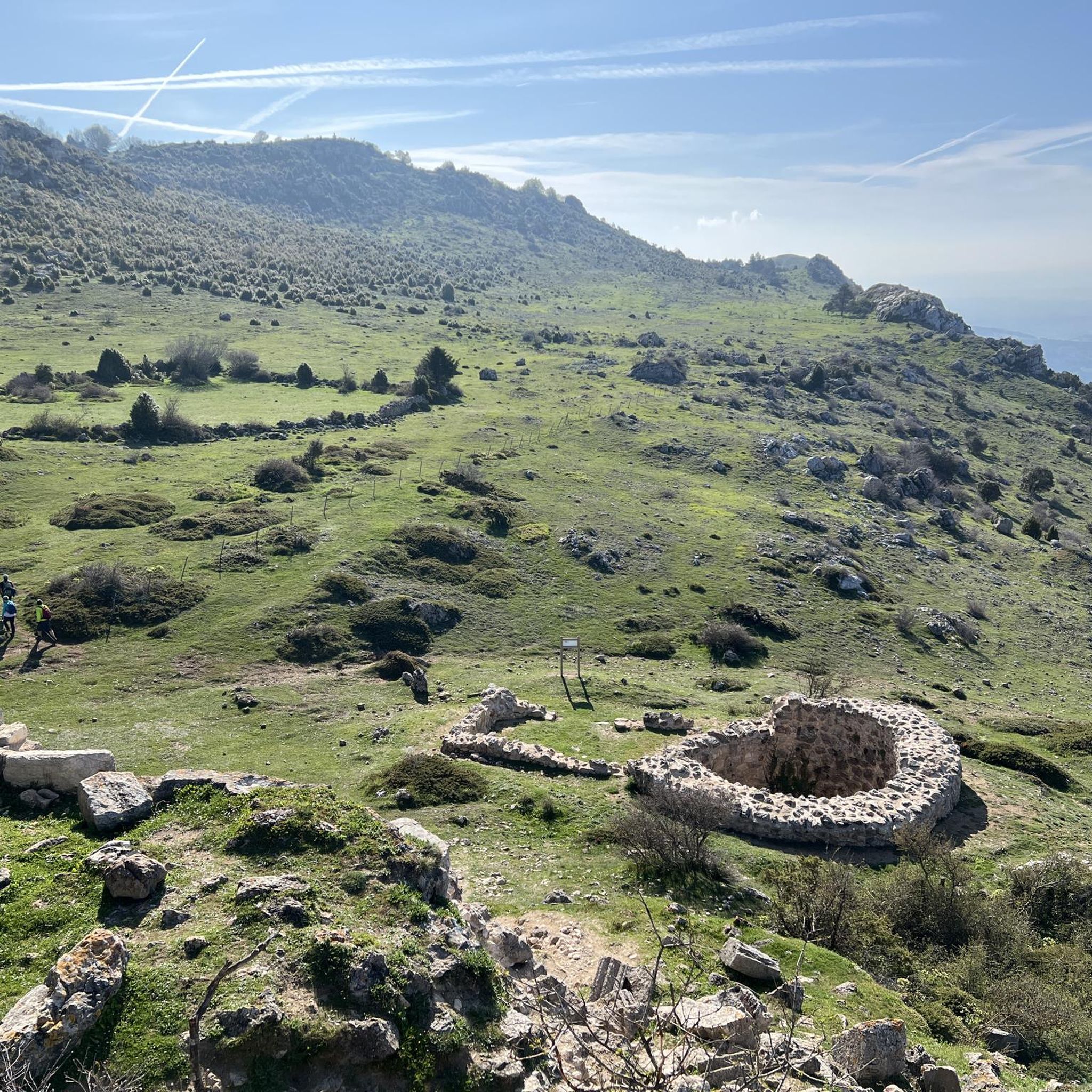
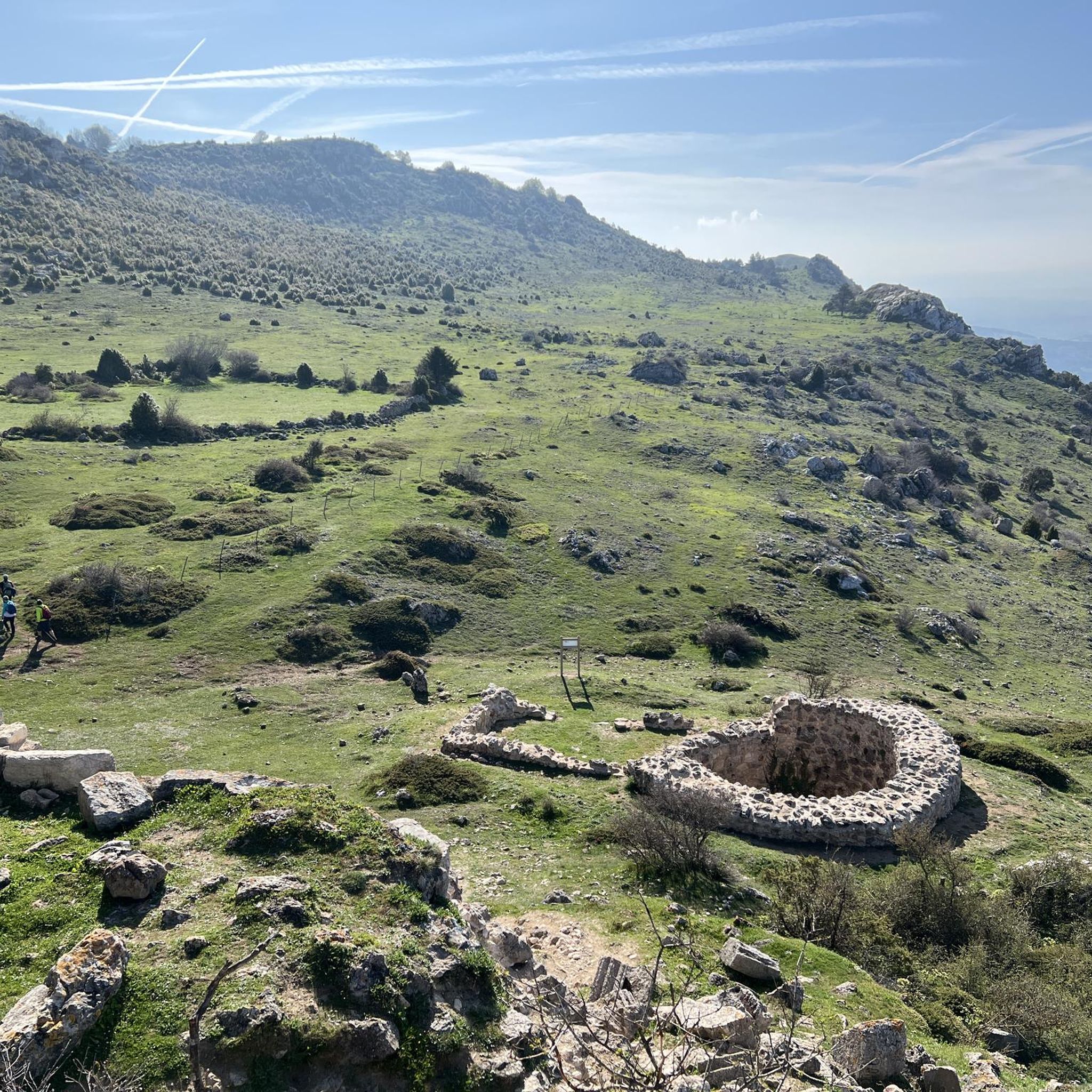
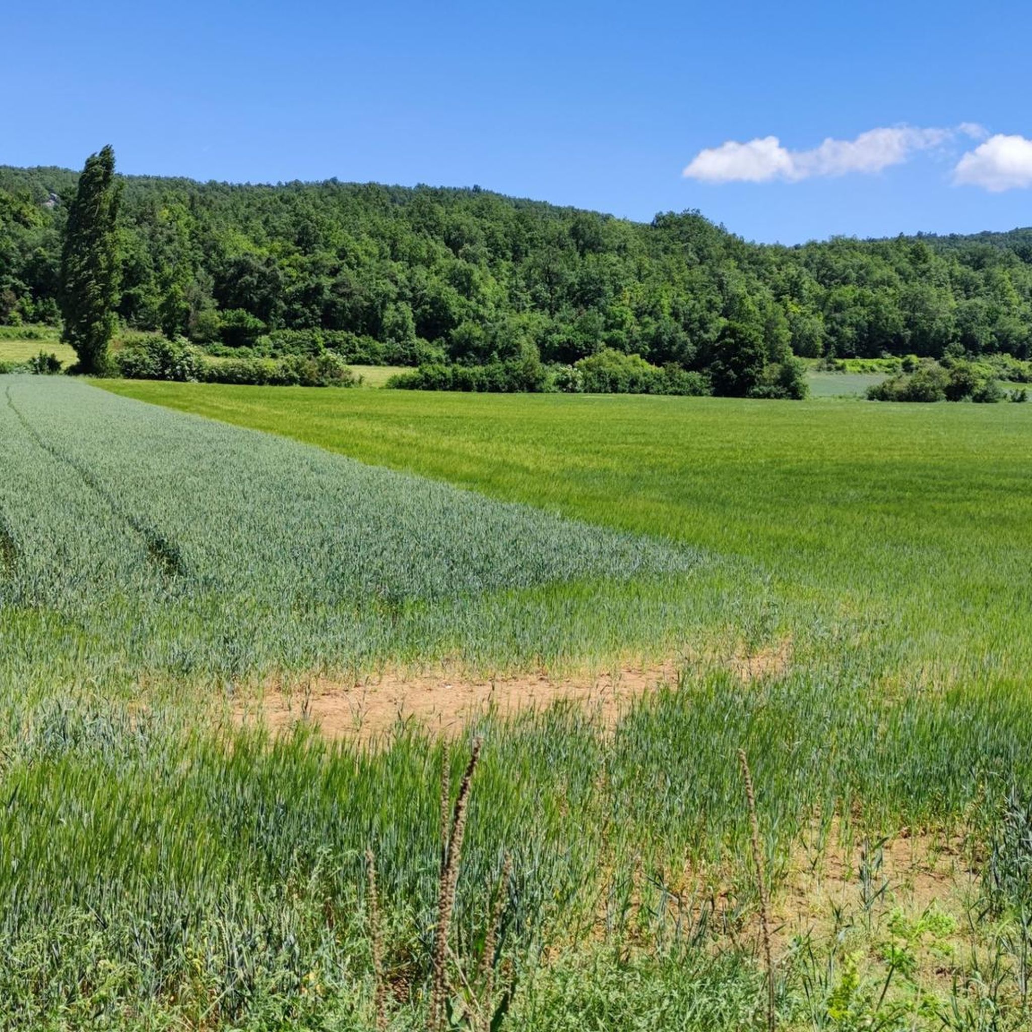
Hiking around Peñacerrada-Urizaharra offers access to a mountainous landscape characterized by the Sierra/Macizo de Toloño. The region features rugged, rocky terrain and diverse ecosystems, providing varied natural environments for outdoor activities. Trails often lead through areas with significant elevation changes and offer views of the surrounding natural features.
Best hiking trails around Peñacerrada-Urizaharra
- The most popular hiking route is Toloño Hermitage Trail, a 7.4 miles (11.9 km) trail that takes 4 hours 1 minute to complete. This moderate route…
Last updated: October 10, 2026
4.9
(26)
105
hikers
11.9km
04:01
520m
510m
This moderate 7.4-mile hike through the Sierra de Cantabria peaks offers panoramic views and 1,702 feet of elevation gain.
5.0
(1)
5
hikers
Moderate hike. Good fitness required. Mostly accessible paths. Sure-footedness required.

5.0
(5)
50
hikers
5.91km
01:38
110m
110m
Easy hike. Great for any fitness level. Easily-accessible paths. Suitable for all skill levels.
4.5
(2)
37
hikers
12.7km
04:09
450m
450m
Hard hike. Good fitness required. Sure-footedness, sturdy shoes and alpine experience required.
3.0
(2)
38
hikers
9.80km
03:34
510m
510m
Hard hike. Good fitness required. Sure-footedness, sturdy shoes and alpine experience required.
Get access to more routes and recommendations from other explorers.
Already have an account?
Our route recommendations are based on thousands of hikes, rides, and runs completed by other people on komoot.
Start today with a free account
Your next adventure awaits.
Tips from the Community

For such a simple mountain, the views are extraordinary.
1
0
Border of Araba with La Rioja, and start of many routes.
1
0

Beautiful river walk with small waterfalls.
1
0
Small waterfalls everywhere, a real delight.
1
0
Beautiful waterfall, which is in no way inferior to those of Nacedero del Urederra, very similar but much more famous.
1
0
Frequently Asked Questions
How many hiking trails are there in Peñacerrada-Urizaharra?
There are over 15 hiking routes available in Peñacerrada-Urizaharra, offering a variety of experiences for different skill levels. The region is known for its mountainous terrain and diverse ecosystems.
What are the difficulty levels of hikes in Peñacerrada-Urizaharra?
The trails in Peñacerrada-Urizaharra cater to various abilities. You'll find 4 easy routes, 13 moderate routes, and 1 difficult route, ensuring options for beginners to experienced hikers.
Are there any circular hiking routes in Peñacerrada-Urizaharra?
Yes, several routes are circular. A notable one is the Cocinas, Artxabal and Zelarruntxa — circular through the southern mountain ranges of Álava, a moderate 7.5-mile path that offers varied scenery as it loops through the southern mountain ranges.
What natural features can I expect to see on the trails?
Peñacerrada-Urizaharra is characterized by its rugged, rocky mountainous terrain, particularly the Sierra/Macizo de Toloño. You can explore natural caves like San León, and the area's diverse ecosystems mean you might spot wildlife such as vultures. The trails often provide scenic views of these landscapes.
Are there easy hikes suitable for families or beginners?
Absolutely. There are 4 easy routes in the area. A good option for a shorter, less strenuous walk is the Water Route – Berganzo Village loop from Payueta / Pagoeta, a 3.7-mile trail that takes about 1 hour 37 minutes to complete and leads through varied terrain.
What kind of historical landmarks or attractions can be found near the hiking trails?
The region is rich in history. You can explore the medieval walled enclosure of Peñacerrada-Urizaharra itself. Nearby, you'll find several castles and historical sites, such as San Vicente de la Sonsierra Fortress Castle and Portilla Castle. The historic town center, with its old houses and the Church of Nuestra Señora de la Asunción, also offers a cultural backdrop to your hikes.
Are there any challenging hikes with significant elevation gain?
Yes, for those seeking a challenge, the region's mountainous terrain provides routes with significant elevation. The Toloño Hermitage Trail is a moderate 7.4-mile route with notable elevation gain towards the hermitage. For a more difficult ascent, consider the Toloño (geodetic vertex) – Toloño loop from Castillo de Villamonte.
What do other hikers say about the trails in Peñacerrada-Urizaharra?
The trails in Peñacerrada-Urizaharra are highly regarded by the komoot community, holding an average rating of 4.5 stars from over 125 reviews. Hikers often praise the diverse terrain, the challenging ascents, and the rewarding views, especially towards the Toloño Hermitage.
Are there any routes that lead to prominent peaks or viewpoints?
Many trails offer excellent viewpoints due to the mountainous landscape. The Toloño Hermitage Trail leads to the Toloño Hermitage, offering panoramic views. You can also find highlights like the Toloño summit and Castle Rock, which provide stunning vistas of the surrounding area.
What is the best time of year to go hiking in Peñacerrada-Urizaharra?
The diverse landscapes of Peñacerrada-Urizaharra make it suitable for hiking across multiple seasons. Spring and autumn generally offer pleasant temperatures and vibrant scenery. However, the mountainous terrain means that proper mountain shoes are recommended year-round, and conditions can vary, especially at higher elevations.
Are there any specific trails that highlight the region's unique cave systems?
While specific komoot routes directly entering the caves are not detailed, the region is known for both natural and artificial caves. The concil of Faido houses artificial caves like those of the Virgen de la Peña, San Miguel, and Kruzia, and the natural San León caves are near Peñacerrada. Hiking in the vicinity of these areas would allow you to appreciate these unique geological features.
Most popular routes around Peñacerrada-Urizaharra
Most popular attractions around Peñacerrada-Urizaharra

Get inspired with the komoot mobile app


Explore more
Browse the best Hikes in other regions.
