The best running trails around la Vall de Gallinera
4.5
(29)
1,618
runners
115
runs
Jogging routes around la Vall de Gallinera traverse a landscape characterized by valleys, hills, and greenways. The region features varied terrain, including trails along the Serpis River and paths leading to local summits. This area offers a mix of natural and historical elements, providing diverse running environments.
Best jogging routes around la Vall de Gallinera
- The most popular jogging route is Running from Lorxa by the Vía Verde del Serpis, a 12.3 miles (19.8 km) trail that takes 2…
Last updated: October 11, 2026
3.0
(1)
55
runners
20.8km
02:53
880m
880m
Hard run. Very good fitness required. Sure-footedness, sturdy shoes and alpine experience required.
34
runners
16.6km
02:18
500m
500m
Hard run. Very good fitness required. Sure-footedness, sturdy shoes and alpine experience required.

29
runners
30.4km
04:31
1,150m
1,150m
Hard run. Very good fitness required. Sure-footedness, sturdy shoes and alpine experience required.
16
runners
13.1km
01:36
440m
440m
Hard run. Very good fitness required. Sure-footedness, sturdy shoes and alpine experience required.
9
runners
5.87km
00:39
110m
110m
Moderate run. Good fitness required. Mostly paved surfaces. Suitable for all skill levels.
Get access to more routes and recommendations from other explorers.
Already have an account?
Our route recommendations are based on thousands of hikes, rides, and runs completed by other people on komoot.
Start today with a free account
Your next adventure awaits.

Tips from the Community

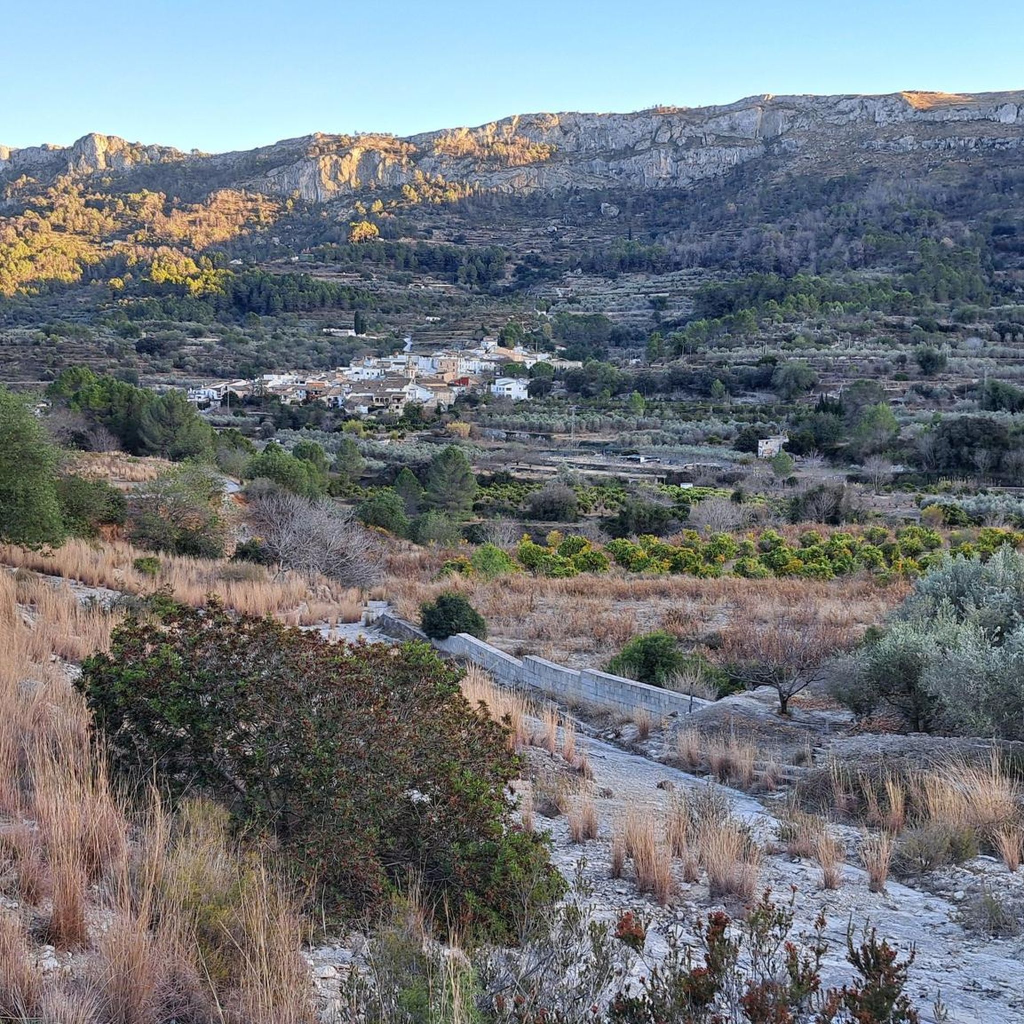
Forna is a small, very quiet village in the municipality of L’Atzúbia, in the hinterland of the Costa Blanca. It lies nestled in a hilly, Mediterranean landscape characterized by orange groves and unspoiled valleys. With fewer than one hundred inhabitants, the village has an almost familial atmosphere and has retained its traditional, rural character: narrow streets, whitewashed houses, and flowers adorning doorways. Above the village rises the impressive Castillo de Forna, a fortified palace dating from the late Middle Ages. Its towers and walls define the village's appearance and are a reminder of the region's Moorish past. Later, the castle served as a lord's residence and remains a central landmark of Forna. The village's history stretches far back, as the area was already settled during the Islamic period. Even after the resettlement of new inhabitants in the 17th century, Forna remained a small, agricultural village that has preserved its historical structure. Visitors to Forna will experience a tranquil and charming place. The tranquility, the surrounding nature and the immediate proximity to the mountains make it an ideal destination for anyone seeking an authentic atmosphere and historical architecture away from mass tourism.
1
0

The start of the hike is a bit frightening due to the location (rainwater drainage basins and dog excrement), but after 500 m you go into nature. The hike is well signposted and easy to do with sturdy shoes.
3
1

Located in a location with beautiful views, the castle is currently being rehabilitated and cannot be visited.
1
1
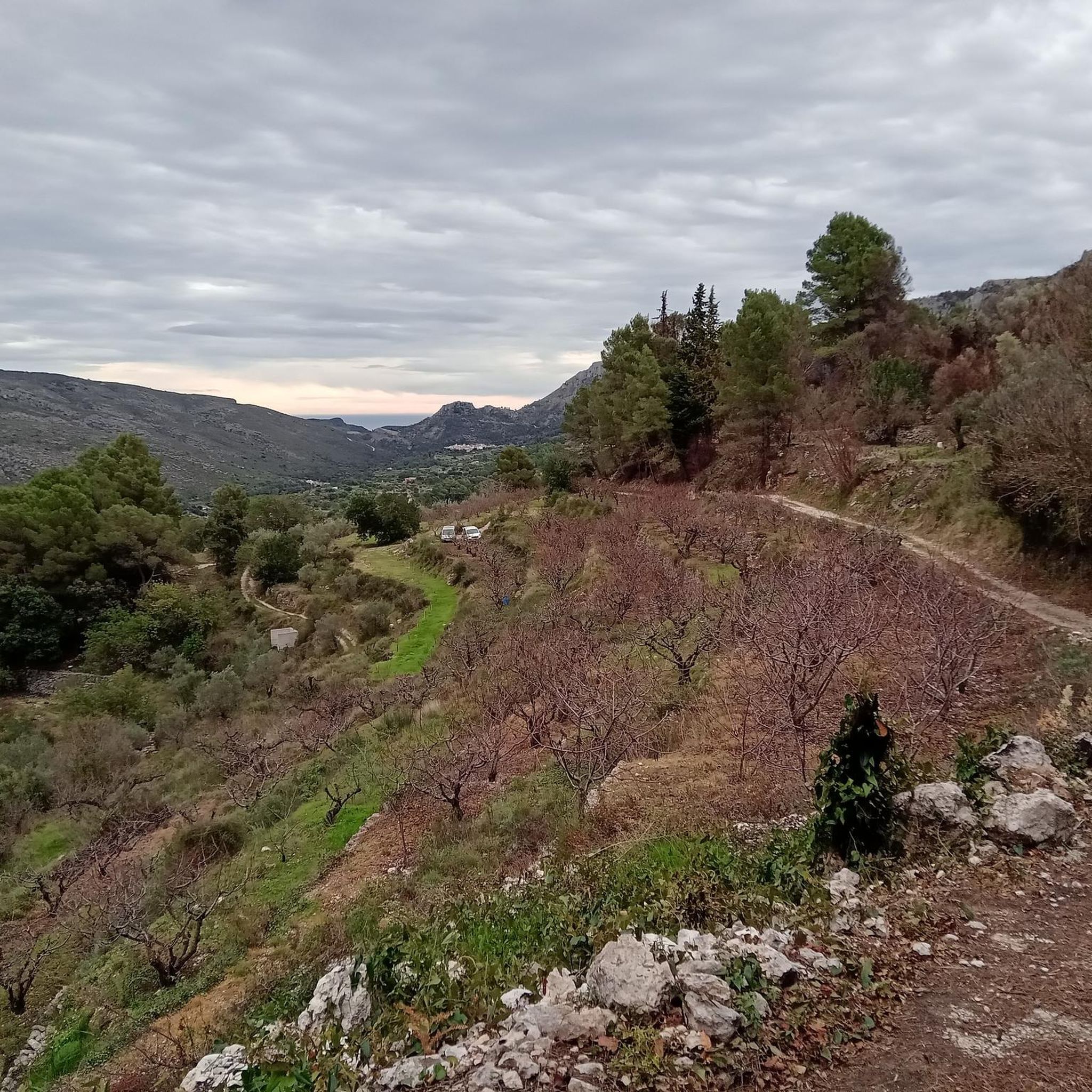
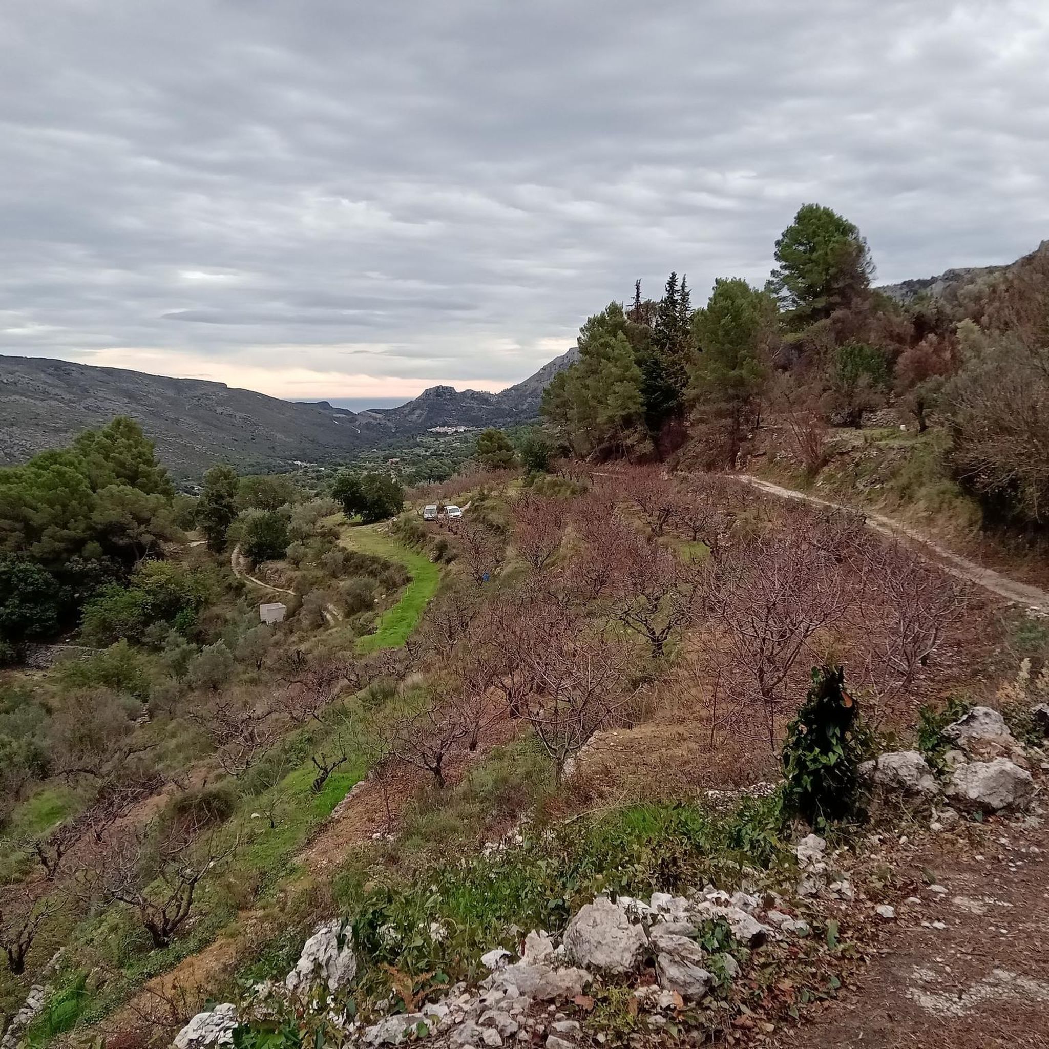
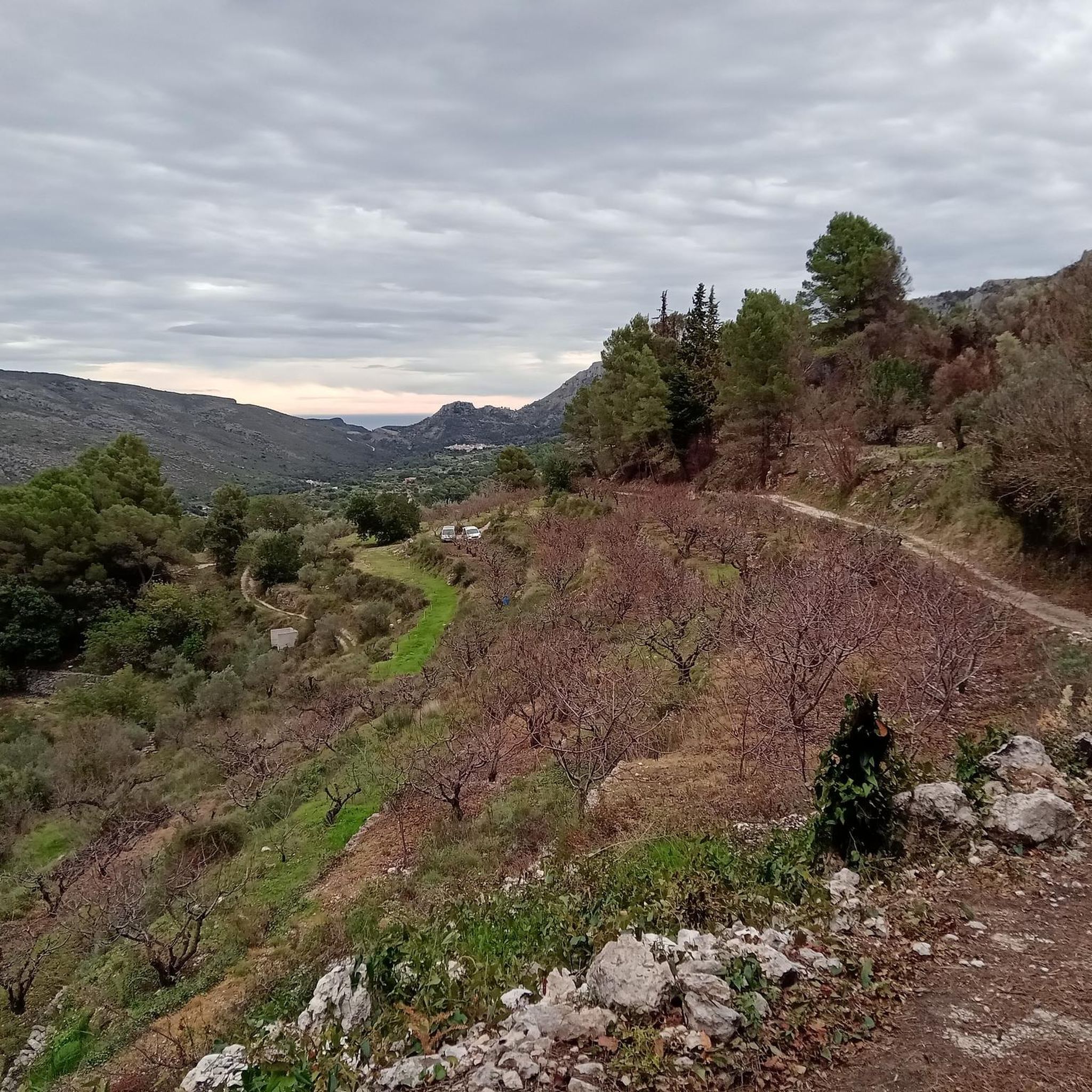
One of the best views of the route that goes from Benissili Castle to La Foradà.
1
0
This back "terrace" of the castle is a good place to rest, eat and drink.
1
0
The castle of Benissili is historically known as the castle of Alcalà, and this is how it appears in the documents of the time, but it is better known by the name of the castle of Benissili, since this town is the one that is closest to the fortress . The historical function of the castle was to guard and defend the entrance to the Gallinera valley from the interior. This castle follows the normal guidelines of the Muslim castle, with albacar (large courtyard) and celoquia (citadel), but it stands out for its great extension, structural complexity and natural defenses.
2
0

Here you will find the signs for the detour that you can take if you want to go up Cati. In this case you have to go east.
1
0
The PR-CV 347 trail is a route with great scenic value. Enjoy the experience on this perfectly marked trail.
1
0
Frequently Asked Questions
How many running routes are available in la Vall de Gallinera?
There are nearly 100 running routes recorded in la Vall de Gallinera on komoot, offering a wide variety of terrain and distances for all levels of runners.
Are there easy running routes suitable for beginners in la Vall de Gallinera?
Yes, la Vall de Gallinera offers a few easy running routes. While many trails are moderate to difficult, you can find options that are less challenging. For example, routes along the Vía Verde del Serpis, like Running from Lorxa by the Vía Verde del Serpis, often provide consistent surfaces suitable for beginners.
What kind of terrain can I expect on the jogging trails in la Vall de Gallinera?
The running trails in la Vall de Gallinera feature varied terrain, including river greenways, paths through valleys and hills, and ascents to local summits. You'll encounter a mix of natural trails and more consistent surfaces, such as those found along the Serpis River.
Can I find circular running routes in la Vall de Gallinera?
Yes, many running routes in la Vall de Gallinera are circular, allowing you to start and end at the same point. An example is the challenging Forna Village – Covatelles Summit loop from Castell de Forna, which offers both a summit ascent and scenic views.
What are some notable landmarks or attractions I might see while running in la Vall de Gallinera?
While running in la Vall de Gallinera, you can encounter several interesting points. Some routes pass by historic sites like Castell de Forna, and natural features such as the The Salty Spring or the Natural area of the "Font Salà". You might also cross mountain passes like Vall d'Ebo Pass.
What do other runners say about the trails in la Vall de Gallinera?
The running routes in la Vall de Gallinera are highly regarded by the komoot community, holding an average rating of 4.6 stars from over 20 reviews. Runners often praise the diverse natural terrain, the challenging ascents, and the scenic beauty of the region's valleys and greenways.
Are there any running routes that follow river paths?
Absolutely. The region is known for its river greenways, particularly along the Serpis River. Routes like Serpis Greenway – Serpis River Weir loop from L'Udol Reprimala offer a chance to run alongside the river, providing a refreshing experience.
What are the typical distances for running trails in la Vall de Gallinera?
Running trails in la Vall de Gallinera vary significantly in distance. Many popular routes range from approximately 12 miles (19 km) to over 17 miles (28 km), such as the Los Rotes Trail loop from la Vall de Gallinera.
Is parking generally available near the trailheads in la Vall de Gallinera?
Parking availability can vary depending on the specific trailhead and its proximity to villages or natural areas. It's advisable to check the starting point of your chosen route on komoot for specific parking information, as many routes begin near accessible points in towns or designated parking areas.
Can I bring my dog on the running routes in la Vall de Gallinera?
Generally, dogs are permitted on many trails in natural areas, but it's always best to keep them on a leash, especially in protected zones or areas with livestock. Always check local regulations or specific route details for any restrictions before heading out with your canine companion.
Are there any routes that offer significant elevation gain for a challenging run?
Yes, la Vall de Gallinera is characterized by its valleys and summits, offering routes with substantial elevation gain. Trails like Forna – Forna Village loop from Vilallonga feature significant climbs, providing a challenging workout and rewarding views from higher elevations.
What is the best season for running in la Vall de Gallinera?
The best season for running in la Vall de Gallinera is typically spring and autumn when temperatures are milder and the landscape is lush. Summer can be quite hot, making early morning or late evening runs preferable, while winter offers cooler, crisp conditions, though some higher trails might be more exposed.
Most popular routes around la Vall de Gallinera
Most popular attractions around la Vall de Gallinera

Get inspired with the komoot mobile app


Explore more
Browse the best Running Trails & Routes in other regions.
