The best walks and hikes around Aguilar De Campoo
4.4
(173)
367
hikers
34
hikes
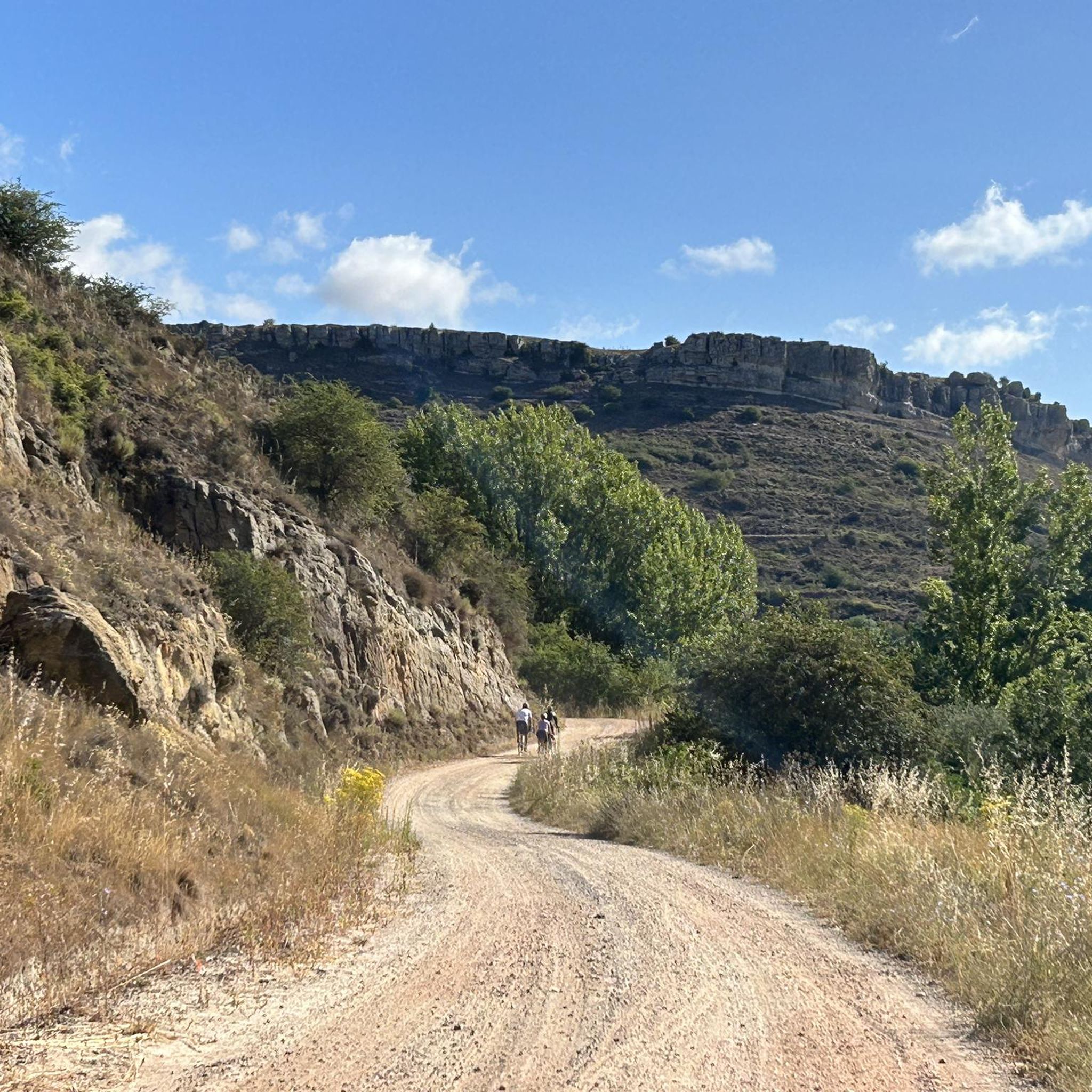
Hiking around Aguilar De Campoo offers diverse natural landscapes in the north of Palencia, Spain. The region is characterized by high-altitude limestone moorlands, impressive river canyons, and unique rock formations within the UNESCO Global Geopark Las Loras. The expansive Aguilar de Campoo Reservoir is a central feature, alongside prominent peaks like Peña Cutral and Monte La Ruya, providing varied terrain for hikers.
Best hiking trails around Aguilar De Campoo
- The most popular hiking route is Mirador del Embalse de Aguilar…
Last updated: August 17, 2026
4.5
(2)
14
hikers
7.46km
02:01
100m
100m
Moderate hike. Good fitness required. Easily-accessible paths. Suitable for all skill levels.
5.0
(1)
6
hikers
21.5km
06:03
430m
430m
Hard hike. Very good fitness required. Mostly accessible paths. Sure-footedness required.

Sign up for free
1
hikers
3.25km
00:52
40m
40m
Easy hike. Great for any fitness level. Easily-accessible paths. Suitable for all skill levels.
Easy hike. Great for any fitness level. Easily-accessible paths. Suitable for all skill levels.
3.0
(1)
15
hikers
Easy hike. Great for any fitness level. Easily-accessible paths. Suitable for all skill levels.
Get access to more routes and recommendations from other explorers.
Sign up for free
Already have an account?
Our route recommendations are based on thousands of hikes, rides, and runs completed by other people on komoot.
Start today with a free account
Your next adventure awaits.
Login or Signup

Tips from the Community

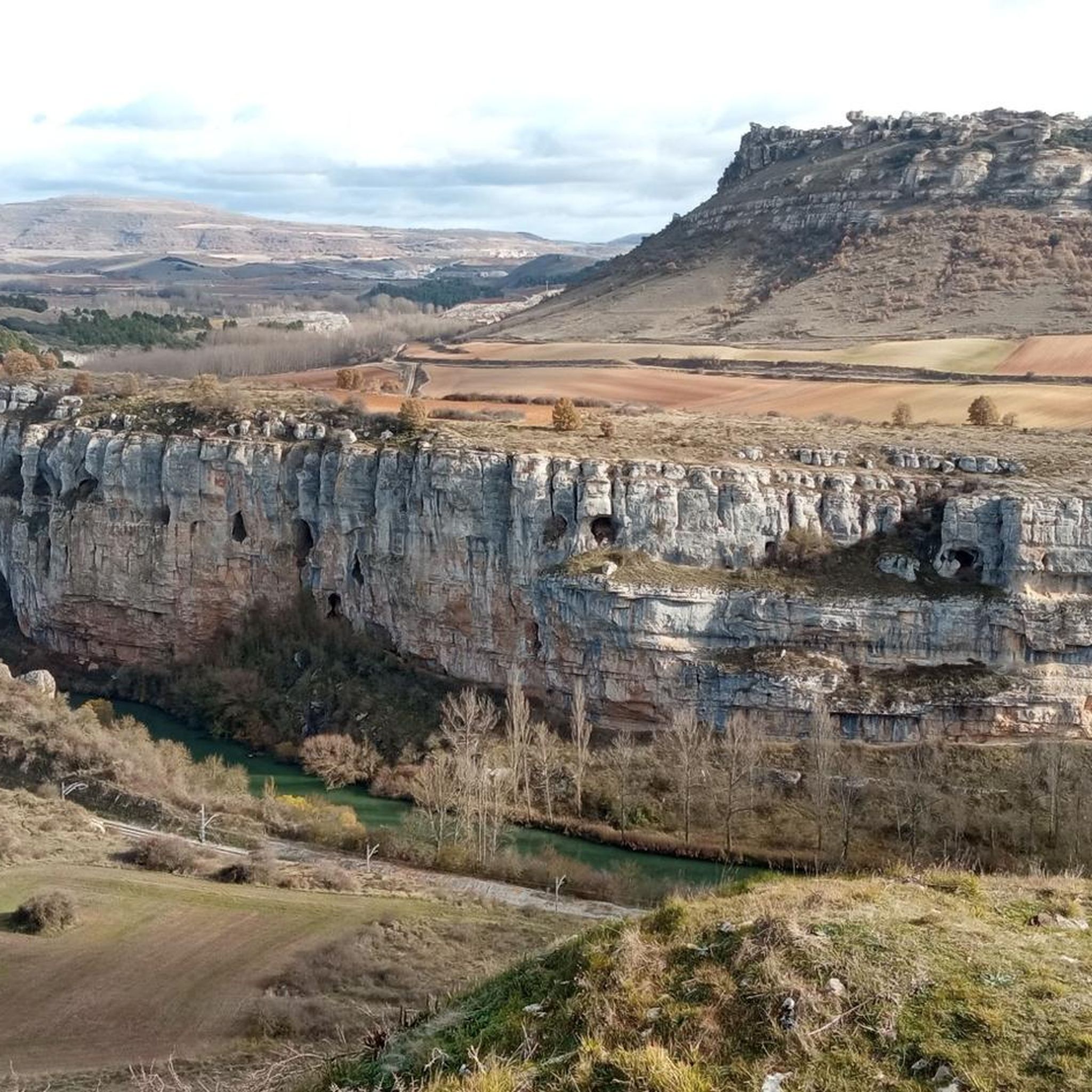
The Horadada Canyon is an impressive natural gorge located in the Palentina Mountains, between the municipalities of Aguilar de Campoo and Pomar de Valdivia, in the province of Palencia. This canyon has been carved by the Pisuerga River over millennia, cutting through the limestone terrain of the Las Loras and Las Tuerces natural area.
2
0

In the Plaza de España, the nerve centre of the town.
1
0
Perched on a cliff but easily accessible, it is super cool to walk among its ruins.
2
0
The amount of water this river carries is always surprising.
1
0
Just below the reservoir dam is this small theme park, with a small lake with water lilies, several enormous pieces for transferring water, and a huge fountain with beastly jets of water.
0
0
The views are spectacular, that alone makes it worth taking a look.
1
0

Puente Mayor over the Pisuerga River is of medieval origin. We can see the small islands in the river and the castle hill.
2
0
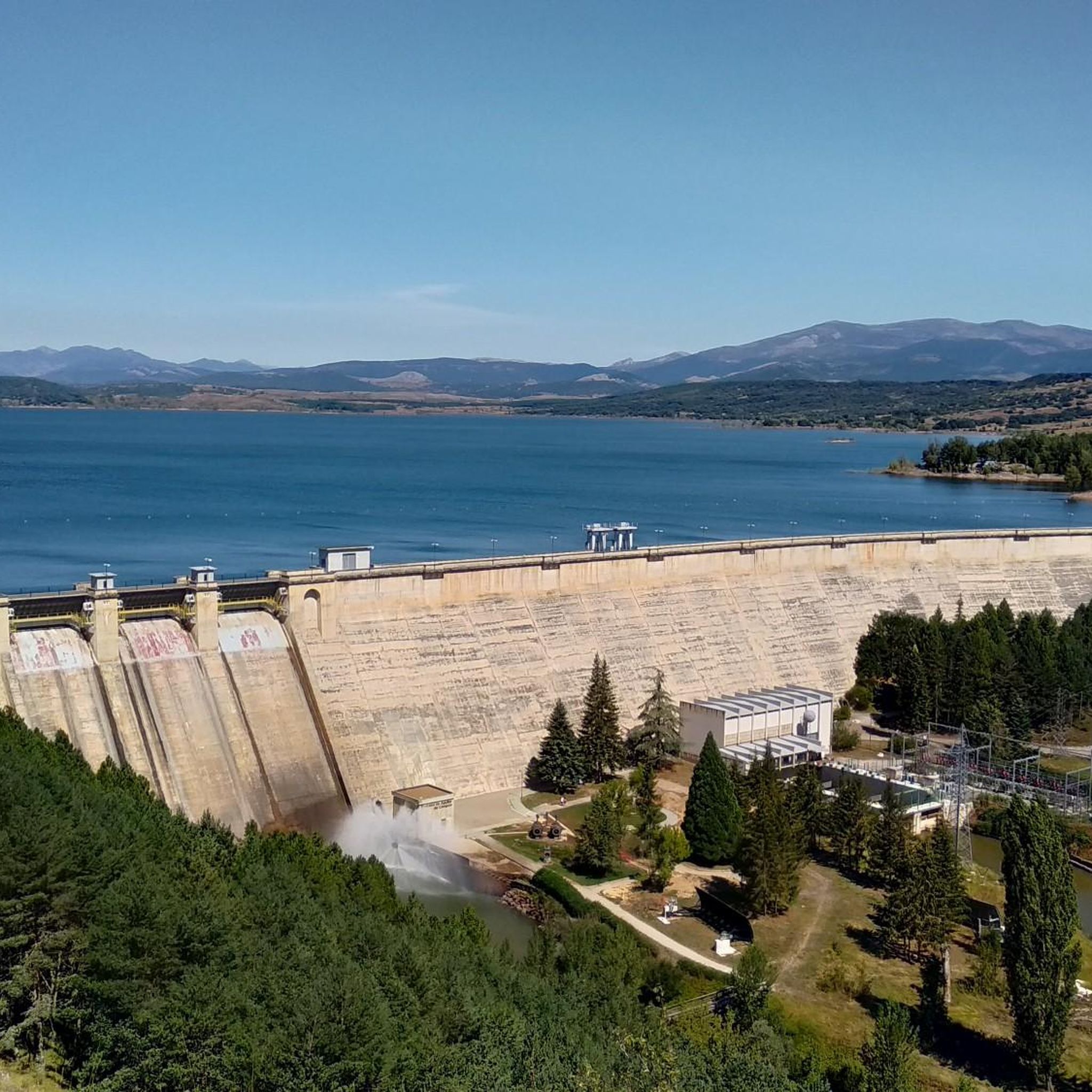
Great viewpoint tower that allows us to enjoy panoramic views of the Aguilar Reservoir and its dam. On the horizon you can see the Palencia mountains.
2
0
Frequently Asked Questions
How many hiking trails are there around Aguilar de Campoo?
Aguilar de Campoo offers a diverse network of over 30 hiking trails. These routes cater to various skill levels, from easy strolls through the town to challenging ascents in the surrounding natural parks.
Are there easy hiking trails suitable for families in Aguilar de Campoo?
Yes, Aguilar de Campoo has several easy trails perfect for families. For a gentle introduction to the town's charm, consider the City tour por Aguilar de Campoo, a 3.3 km route. Another accessible option is the Ermita de Santa Eulalia y Barrio de San Pedro, which is 5.5 km and explores the Camino Natural del Románico Palentino.
What kind of natural landscapes can I expect to see while hiking in Aguilar de Campoo?
The region is part of the UNESCO World Geopark Las Loras, offering a striking variety of landscapes. You'll encounter high-altitude limestone moorlands, dramatic river canyons, and unique rock formations. The expansive Aguilar de Campoo Reservoir is a central feature, providing scenic views, especially of Peña Cutral.
Are there any circular hiking routes in Aguilar de Campoo?
Yes, many trails in Aguilar de Campoo are circular, allowing you to start and end in the same location. A popular moderate circular route is the Mirador del Embalse de Aguilar — circular desde Aguilar de Campoo, offering beautiful reservoir views over 7.5 km.
What are some notable natural attractions or landmarks to look out for on the trails?
Hikers can discover several unique natural attractions. The Horadada Tunnel is a fascinating geological feature. For a truly ancient experience, visit the Tejeda de Tosande Yew Forest Trail, home to ancient yew trees. The Covalagua Waterfall is another impressive natural highlight.
Are there any challenging hikes for experienced trekkers?
For experienced trekkers seeking a challenge, the region offers more demanding routes. The Peña Mesa y Castillo de Gama por el Cañón de la Horadada is a difficult 21.5 km path with significant elevation changes, exploring the Espacio Natural de las Tuerces.
What do other hikers say about the trails in Aguilar de Campoo?
The hiking trails around Aguilar de Campoo are highly regarded by the komoot community, with an average rating of 4.3 stars from over 120 reviews. Hikers often praise the diverse terrain, the stunning views of the reservoir, and the unique geological formations found within the UNESCO Global Geopark Las Loras.
Can I see any historical or cultural sites while hiking?
Yes, many hiking paths are intertwined with the region's rich cultural heritage, particularly its Romanesque architecture. The Camino Natural del Románico Palentino is a prime example, allowing hikers to appreciate both natural beauty and numerous medieval churches and monasteries, such as those near the Santa María la Real Monastery.
Are there opportunities for wildlife spotting on the trails?
The natural environment around Aguilar de Campoo, particularly areas like Peña Cutral, offers opportunities to observe rich flora and fauna. Keep an eye out for birds such as Egyptian vultures and white storks, which are known to inhabit the area.
What is the best time of year to go hiking in Aguilar de Campoo?
While the guide doesn't specify a single 'best' time, the diverse landscapes mean hiking can be enjoyed across seasons. Spring and autumn generally offer pleasant temperatures and vibrant scenery. Summer is ideal for exploring higher altitudes, and during periods of low water, the submerged village of Cenera de Zalima becomes visible in the reservoir, adding a unique historical dimension.
Are there any viewpoints offering panoramic views of the area?
Yes, the region boasts several scenic viewpoints. Valcabado Viewpoint offers expansive vistas. Additionally, prominent peaks like Peña Cutral and Monte La Ruya provide panoramic views of the reservoir and the surrounding natural environment after a moderate ascent.
Are there any trails that explore the unique rock formations of the region?
Absolutely. The Espacio Natural de las Tuerces is particularly known for its unique rock formations. The Horadada Tunnel – Peña Mesa loop from Olleros de Pisuerga is a moderate 15 km route that takes you through this fascinating landscape, allowing you to experience these geological wonders firsthand.
Most popular routes around Aguilar De Campoo
Most popular attractions around Aguilar De Campoo

Get inspired with the komoot mobile app


Explore more
Browse the best Hikes in other regions.
