The best walks and hikes around Beniarbeig
4.4
(4843)
19,091
hikers
666
hikes
Hiking around Beniarbeig offers diverse landscapes, blending natural beauty with agricultural land in the La Marina Alta region of Alicante. The area is characterized by the prominent Serra de Segària mountain range, the tranquil River Girona, and numerous hydraulic heritage sites. Trails vary in difficulty, providing options from gentle walks along riverbanks to more strenuous ascents in the mountains. This terrain provides a rich backdrop for outdoor exploration.
Best hiking trails around Beniarbeig
- The most popular hiking route is La…
Last updated: August 16, 2026
4.4
(56)
178
hikers
10.9km
04:27
530m
530m
Moderate hike. Good fitness required. Mostly accessible paths. Sure-footedness required.
4.9
(7)
33
hikers
10.3km
04:48
680m
680m
Hike the moderate Serra de Segaría Trail, a 6.4-mile circular route offering panoramic views and historical features near Benimeli.

Sign up for free
4.5
(13)
29
hikers
7.03km
02:50
380m
380m
Moderate hike. Good fitness required. Mostly accessible paths. Sure-footedness required.
4.3
(29)
108
hikers
6.52km
02:56
420m
420m
Moderate hike. Good fitness required. Mostly accessible paths. Sure-footedness required.
4.7
(31)
70
hikers
6.13km
02:20
250m
250m
Moderate hike. Good fitness required. Mostly accessible paths. Sure-footedness required.
Get access to more routes and recommendations from other explorers.
Sign up for free
Already have an account?
Our route recommendations are based on thousands of hikes, rides, and runs completed by other people on komoot.
Start today with a free account
Your next adventure awaits.
Login or Signup
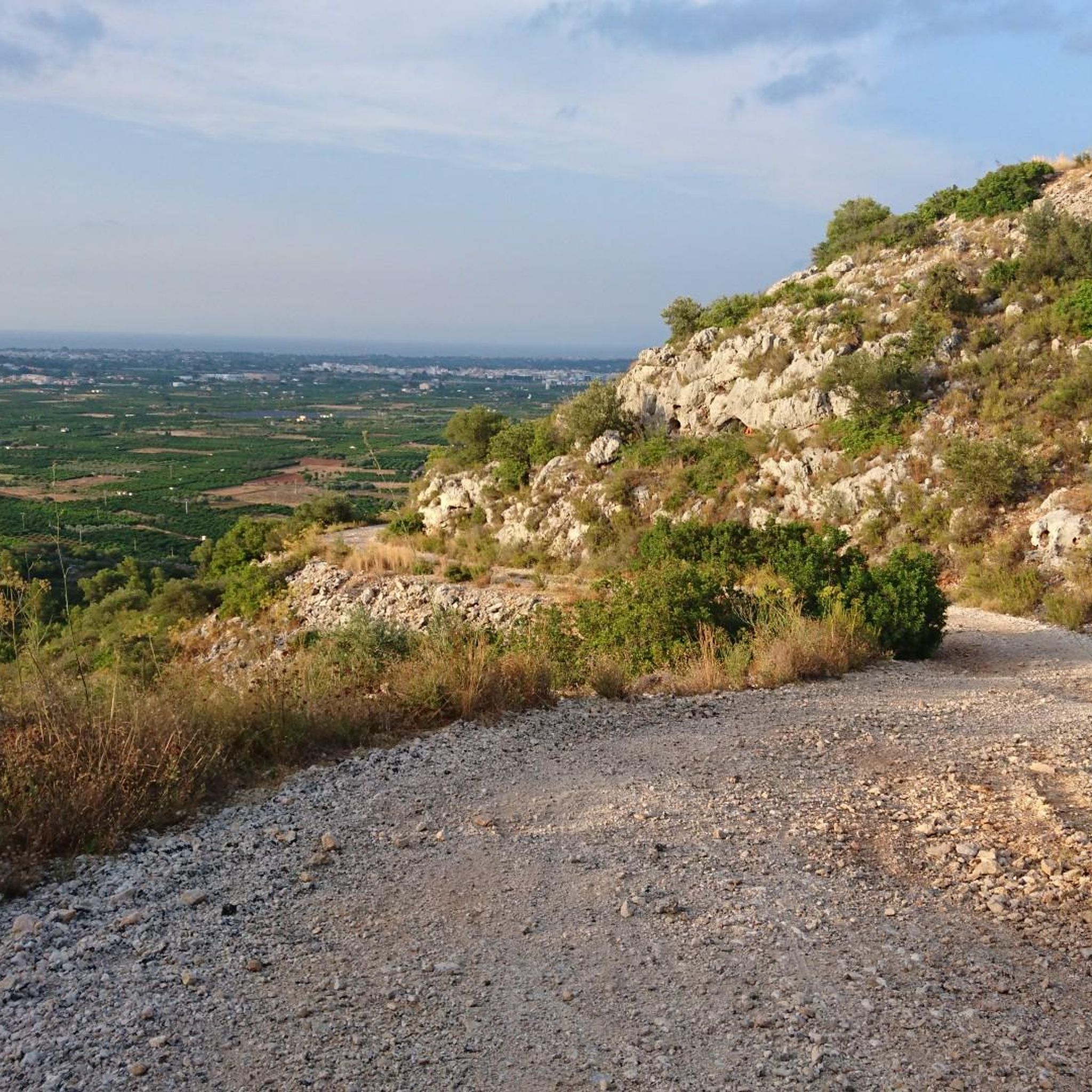
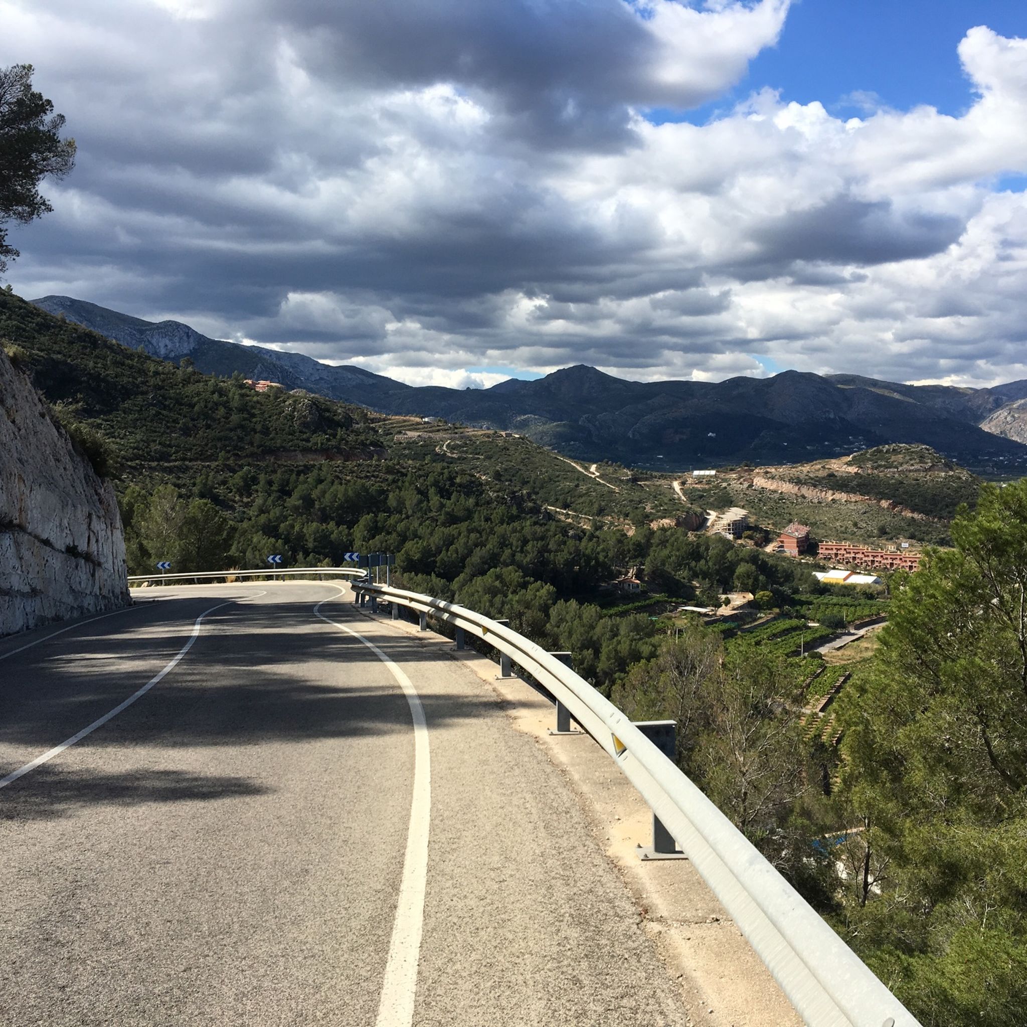
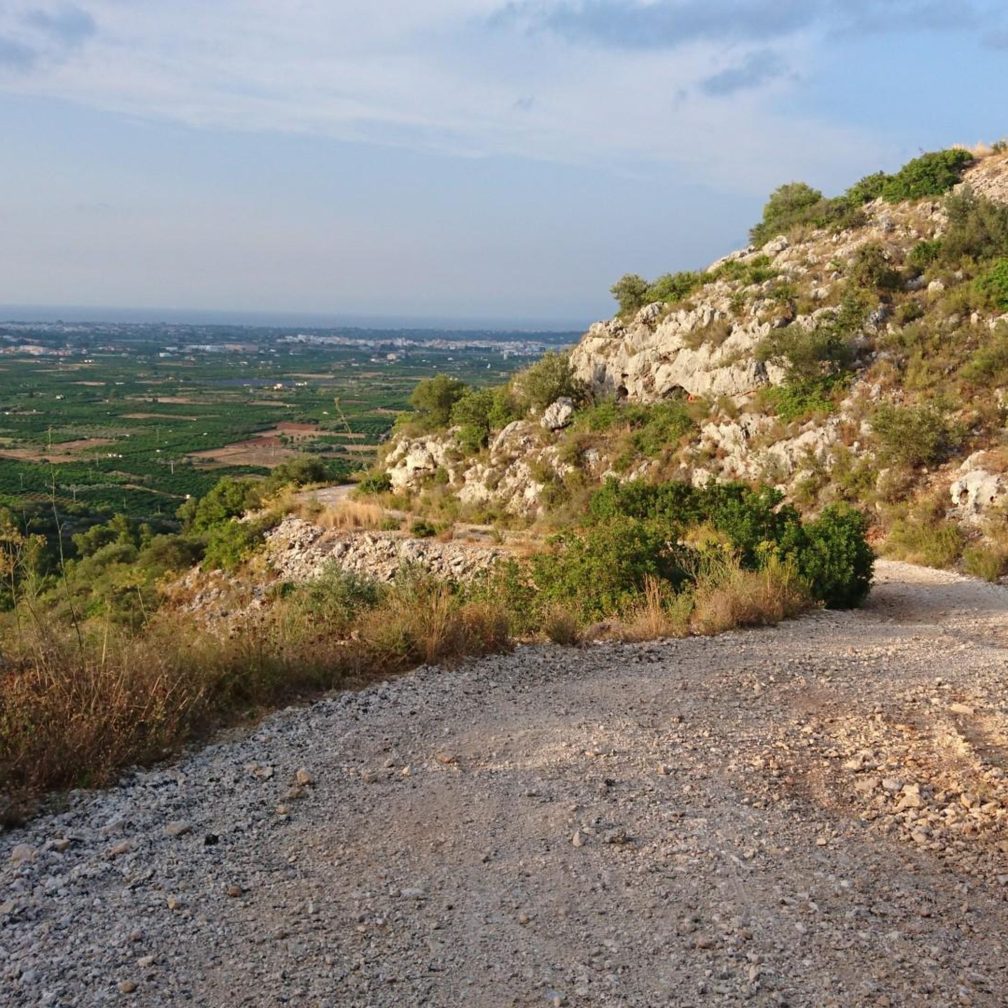
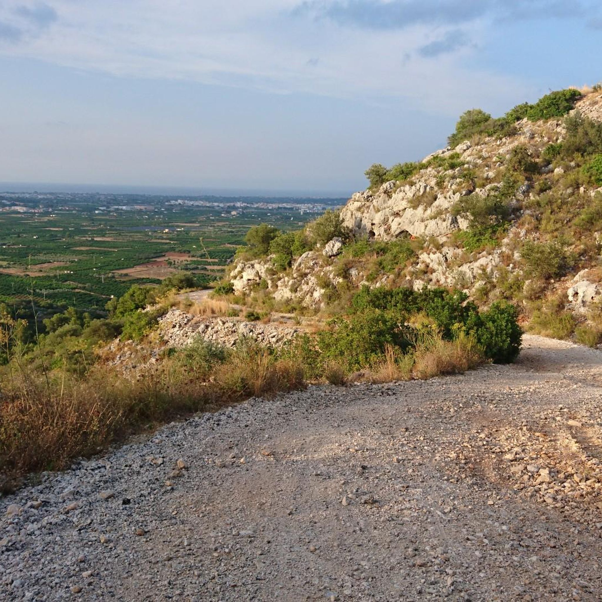

Tips from the Community

The descent from returns the same way back to the Portet d'Ondara. I made the descent eastwards to the old aqueduct path. This is significantly more demanding compared to the ascent via the west side. Slopes/descents of up to approx. 40% are present. The vegetation and the poorly visible yellow trail marking often cause you to pause and look around. Stone towers and GPS help with orientation. Overall, however, progress is slow. The signpost at the bottom of the aqueduct path already gives a hint: 1:10h for approx. 800m of path to the Portet d'Ondara.
0
0
The view is worth it. However, in the summer months (when it gets over 30 degrees) it is recommended to ascend only early in the morning, so that you descend again by 11 am. I ascended from the west side (in the shade in the morning). Up to Portet d'Ondara the path is still reasonably recognizable. From there to the summit "Cim de Segària" the path and terrain are difficult to recognize and require sure-footedness. Sturdy mountain boots are helpful due to the rugged terrain and sharp stones. It is also possible with trail running shoes, but they suffer greatly. Up to the summit, you often have to search for the path or yellow markings, which are also completely missing in places. According to the maps, the path is classified as T2 (SAC scale). Due to the poor visibility of the path, rugged and sharp stones, I would tend towards at least T3. In some places, you also have to climb over a few larger stones or make bigger jumps.
0
0

There are magnificent views. It's worth the climb. You can also get there by car.
0
0

A rural heritage site, possibly linked to the old irrigation or water supply system. A scenic spot on routes through the Sierra de Segaria, which surrounds the municipality.
1
0

Beautiful, but a bit more challenging than indicated. Some trails are overgrown, and the descent at the end is not for those with a fear of heights.
0
0

An approximately 1 km long area within the Sierra Segaria, which contains various caves - the Cova Fosca is of course the largest, most famous, and most spectacular!
1
0
a truly beautiful walk, quite challenging but worth it!
0
1

Short video about our adventures in this area could be found under the following link: https://youtu.be/Pw0HRTXywn8?si=c4yAoHXittWbOzxl
0
1
Frequently Asked Questions
How many hiking trails are there around Beniarbeig?
Beniarbeig offers a wide variety of hiking opportunities, with nearly 650 routes available. These trails cater to all levels, including over 190 easy routes, around 360 moderate options, and more than 90 challenging trails for experienced hikers.
What kind of terrain can I expect on hikes in Beniarbeig?
The terrain around Beniarbeig is quite diverse, ranging from the rugged slopes of the Serra de Segària mountain range to tranquil paths along the River Girona and through agricultural landscapes. You'll encounter stony sections, especially in the mountains, so sturdy shoes are recommended. Some routes also feature fascinating hydraulic heritage sites like old canals and mills.
Are there any family-friendly hiking options in Beniarbeig?
Yes, Beniarbeig has many accessible paths suitable for families. While specific routes are not listed as 'family-friendly' in the data, the presence of over 190 easy routes suggests plenty of gentle strolls. Look for trails along the River Girona or through the agricultural lands for less strenuous options.
Can I bring my dog on the hiking trails in Beniarbeig?
Many trails in Beniarbeig are suitable for dogs, allowing you to explore the diverse landscapes with your canine companion. It's always advisable to keep dogs on a leash, especially in areas with wildlife or near agricultural land, and to carry water for both yourself and your pet.
What are some notable natural features or landmarks to see while hiking?
Hikers can discover a wealth of natural features and historical landmarks. The prominent Serra de Segària mountain range itself offers stunning views and ancient caves. You might also encounter the serene Priori Lake, the picturesque La Font de la Mata Fountain, or explore hydraulic heritage sites like old mills and irrigation channels. For a unique experience, visit the Dark Cave, a stunning cave system with crystal-clear water pools.
Are there circular hiking routes available in Beniarbeig?
Yes, Beniarbeig offers several excellent circular hiking routes. A popular choice is La Serra de Segaria (Circular PR-CV 415), which takes you through varied terrain. Another highly-rated option is the Serra de Segària and the path of the old canal — circular route from Benimeli, which combines mountain scenery with historical elements.
What do other hikers say about the trails in Beniarbeig?
The hiking routes in Beniarbeig are highly regarded by the komoot community, boasting an average rating of 4.4 stars from over 3,900 reviews. Hikers often praise the diverse landscapes, the blend of mountain and agricultural scenery, and the well-maintained paths that offer options for various ability levels.
Are there any challenging hikes for experienced trekkers?
Absolutely. For those seeking a challenge, Beniarbeig has over 90 difficult routes. These often involve more significant elevation gains and rugged terrain within the Serra de Segària. Routes like the Ascent to the Serra de Segària — circular from Benimeli provide a good workout with rewarding views.
What is the best time of year to go hiking in Beniarbeig?
Beniarbeig offers pleasant hiking conditions for much of the year. Spring and autumn generally provide the most comfortable temperatures for exploring the trails. While winter hiking is possible, it's always wise to check local weather conditions. Summers can be hot, so early morning or late afternoon hikes are recommended during this season.
Are there any historical sites or points of interest along the trails?
Yes, Beniarbeig is rich in history. You can explore fascinating hydraulic heritage sites, including old mills like Benihome and El Pla, and locations such as Cano del Molí and Cava dels Plans. Some routes even follow ancient 'acequias' (irrigation channels). The region also has prehistoric remains found in caves within the Serra de Segària.
How long do hikes in Beniarbeig typically take?
Hike durations vary significantly depending on the route's length and difficulty. For example, the popular La Serra de Segaria (Circular PR-CV 415) typically takes around 4 hours 30 minutes, while the Ascent to the Serra de Segària — circular from Benimeli can be completed in about 2 hours 50 minutes. There are also shorter, easier strolls that take less time.
Are there any unique geographical features in Beniarbeig?
Beniarbeig holds a unique geographical distinction as the imaginary line of the Greenwich Meridian crosses through the town. Visitors can even take a photo on the bridge that marks this point. Additionally, the region is characterized by the prominent Serra de Segària mountain range and the tranquil River Girona, which shapes the local landscape.
Most popular routes around Beniarbeig
Most popular attractions around Beniarbeig

Get inspired with the komoot mobile app


Explore more
Browse the best Hikes in other regions.
