The best mountain hikes around Salvatierra / Agurain
5.0
(1)
33
hikers
5
hikes
Mountaineering routes around Salvatierra / Agurain are situated in the Llanada Alavesa of the Basque Country, Spain, between the Entzia and Iturrieta Mountain Ranges. This region features a vast natural space characterized by pastures, bushes, and extensive beech woods. The Opakua pass provides access to higher altitudes, while the Aizkorri Summit, at 1,523 meters, offers challenging climbs and expansive views. The landscape is shaped by these mountain ranges and the Zadorra River.
Best mountaineering routes around Salvatierra / Agurain
- The…
Last updated: July 2, 2026
9
hikers
Hard mountaineering route. Good fitness required. Sure-footedness, sturdy shoes and alpine experience required.
4
hikers
12.8km
04:18
610m
610m
Moderate mountaineering route. Good fitness required. Easily-accessible paths. Suitable for all skill levels.

Sign up for free
3
hikers
10.1km
04:14
640m
640m
Hard mountaineering route. Good fitness required. Sure-footedness, sturdy shoes and alpine experience required.
3
hikers
8.37km
03:07
450m
450m
Moderate mountaineering route. Good fitness required. Mostly accessible paths. Sure-footedness required.
5.0
(1)
1
hikers
8.75km
02:42
290m
290m
Moderate mountaineering route. Good fitness required. Easily-accessible paths. Suitable for all skill levels.
Our route recommendations are based on thousands of hikes, rides, and runs completed by other people on komoot.
Start today with a free account
Your next adventure awaits.
Login or Signup
Popular around Salvatierra / Agurain
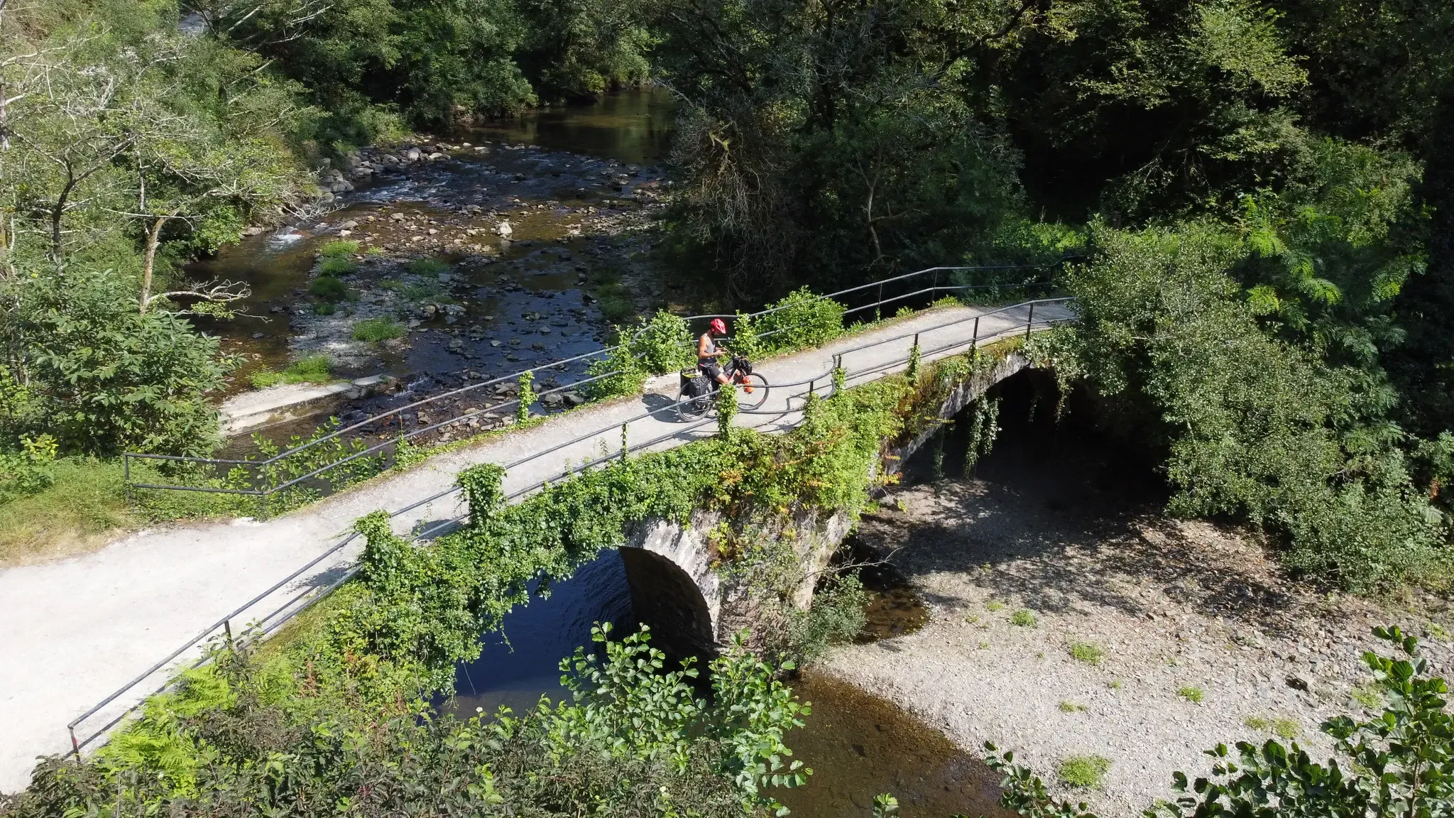
From the coast to the mountains – Tour of the Basque Country
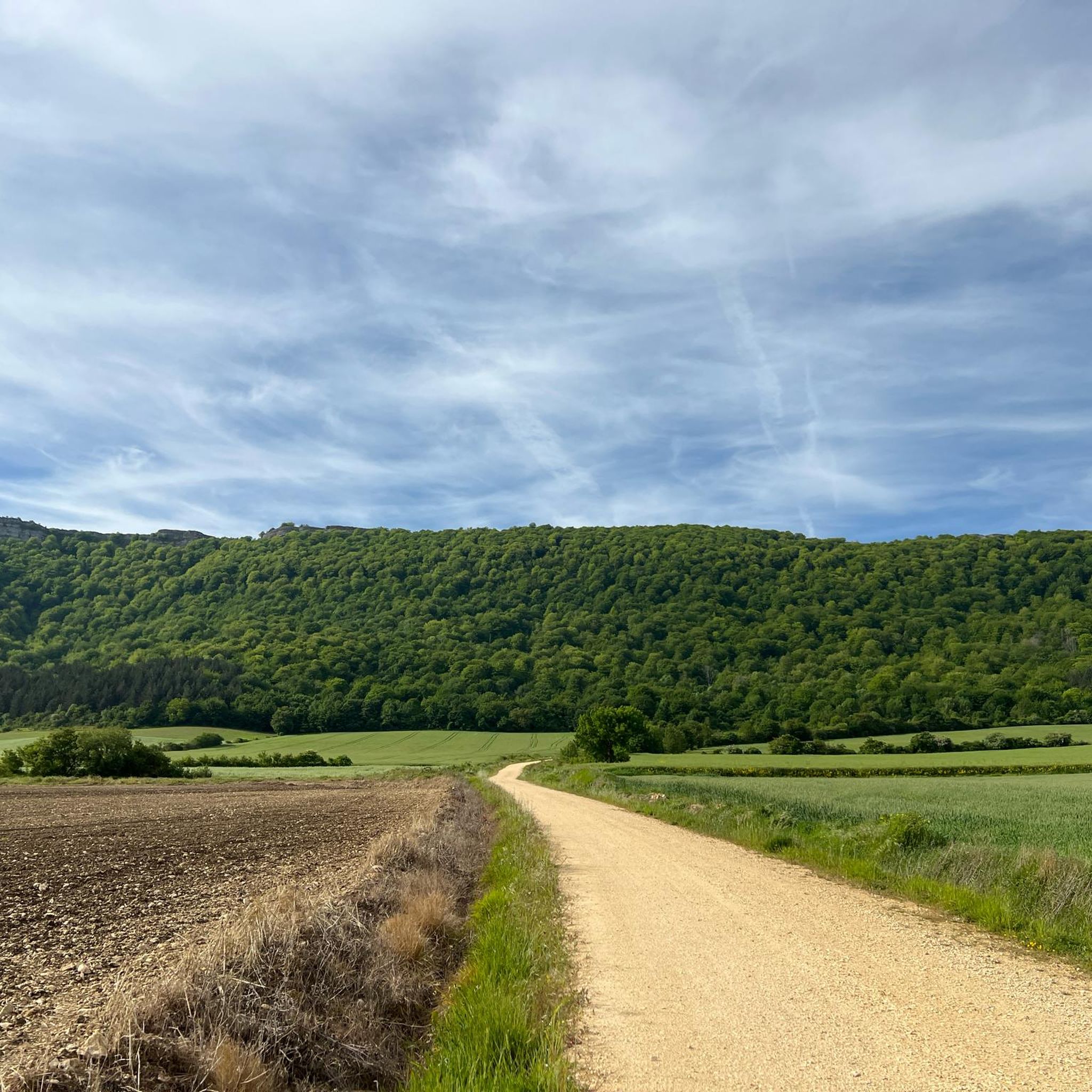
Hiking around Salvatierra / Agurain
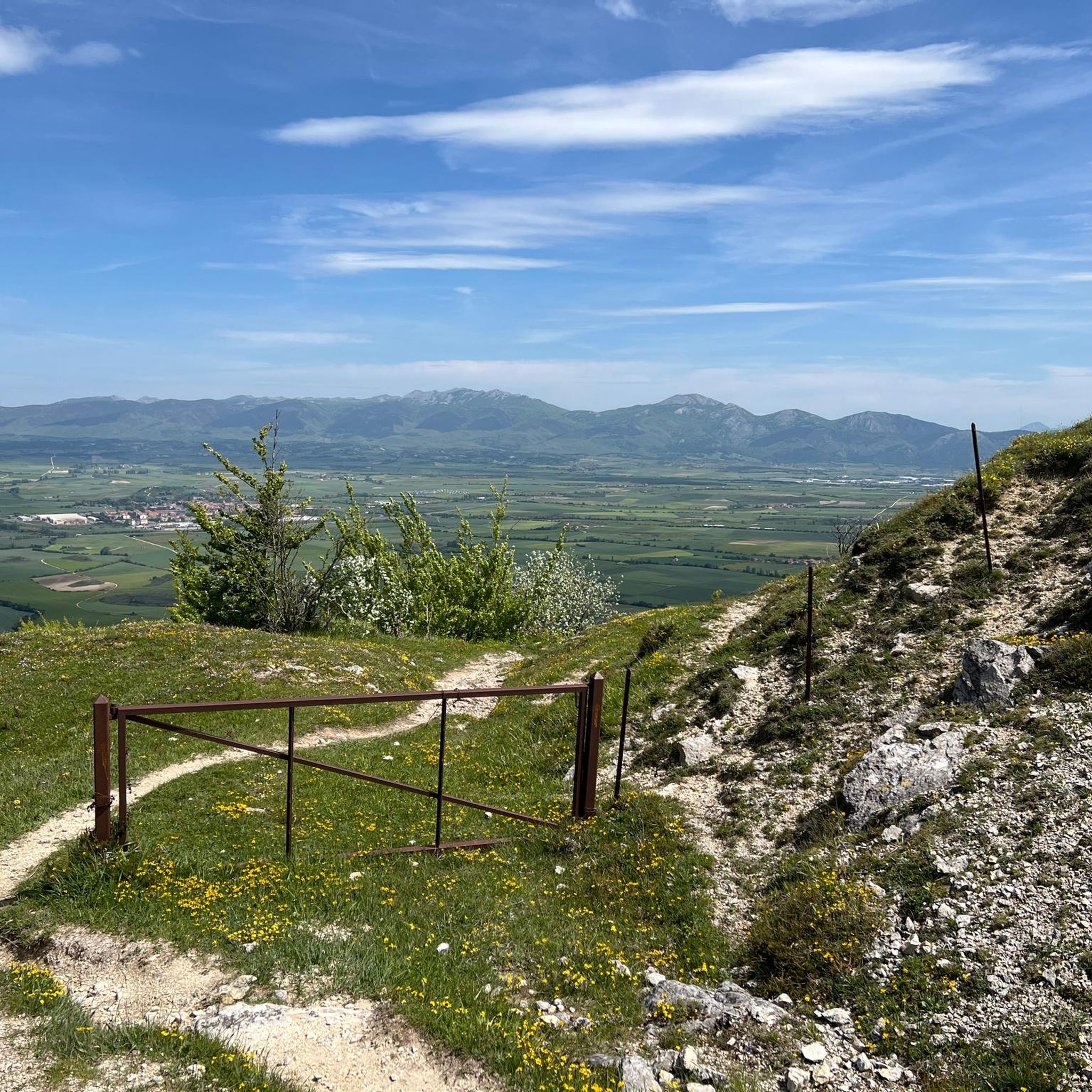
Road Cycling Routes around Salvatierra / Agurain
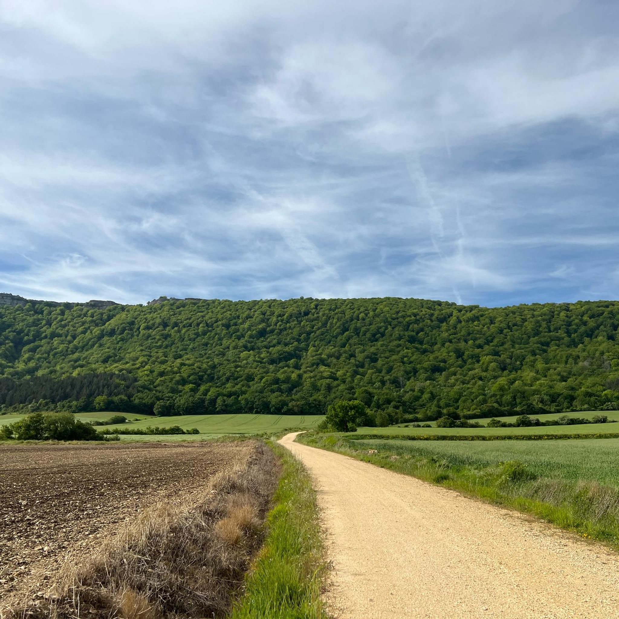
Cycling around Salvatierra / Agurain

Gravel biking around Salvatierra / Agurain
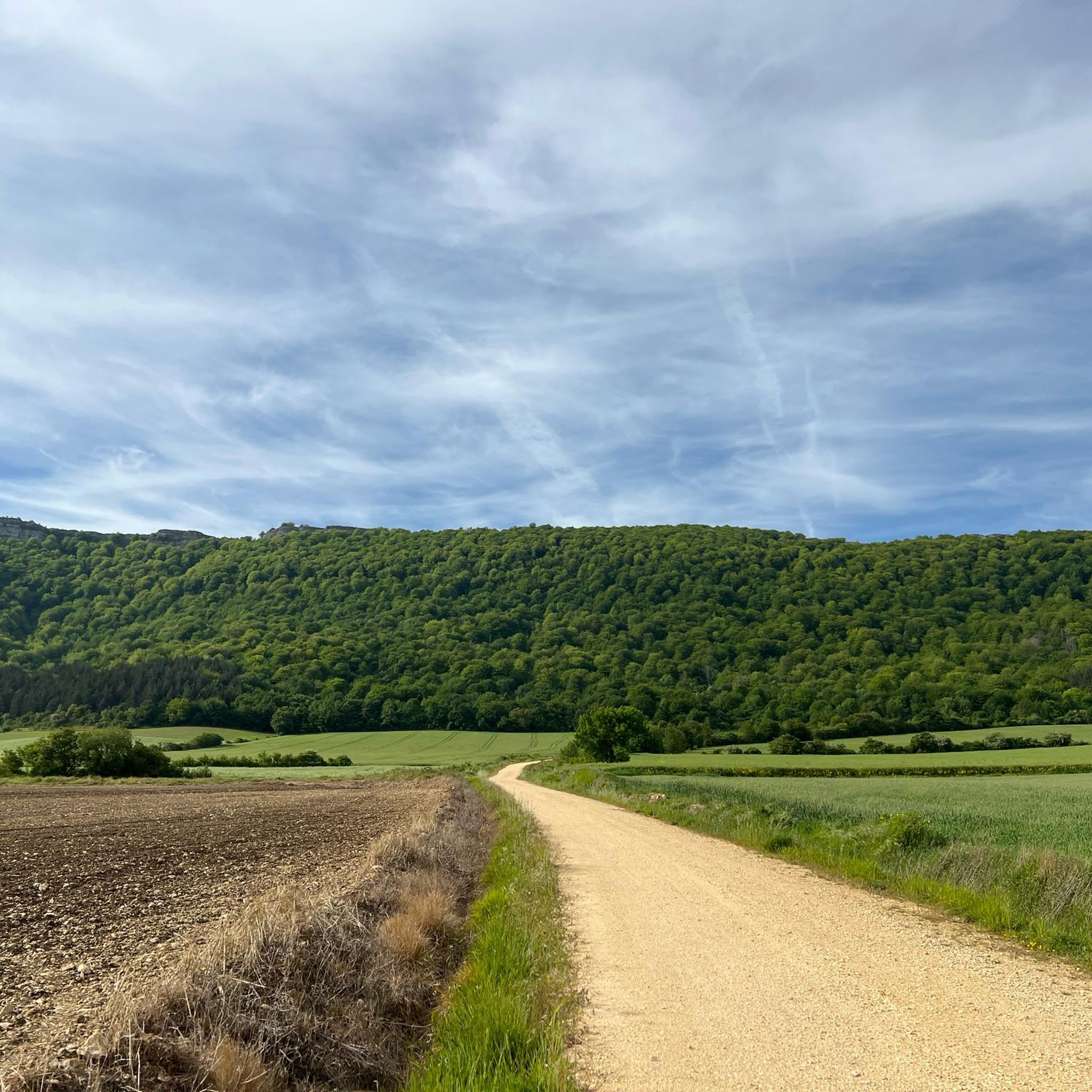
MTB Trails around Salvatierra / Agurain
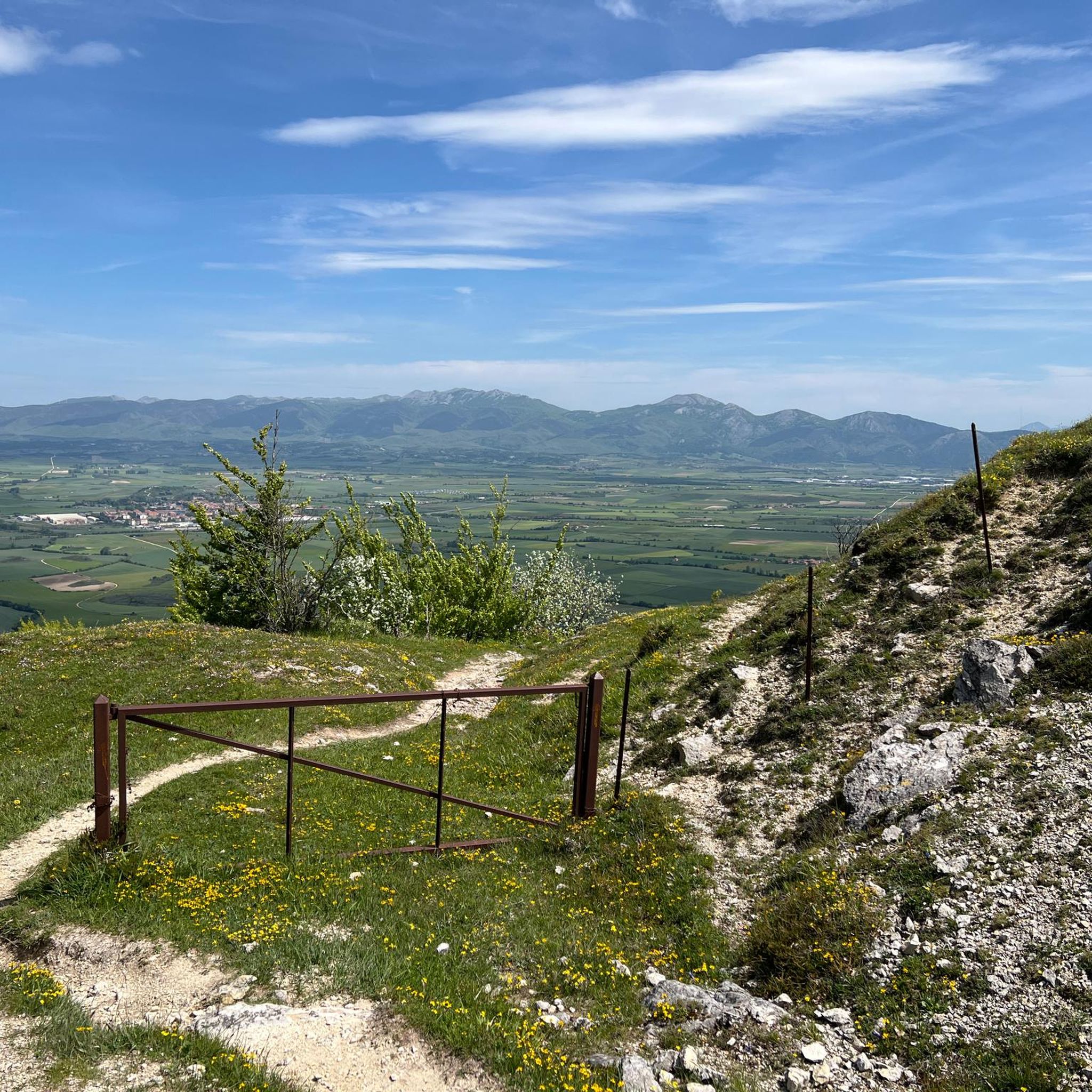
Running Trails around Salvatierra / Agurain
Other adventures around Salvatierra / Agurain

Tips from the Community


One of the highest points in the Basque Country, let yourself be enveloped by the fog and it will seem like a magical place.
0
0
A place to remember, a joy to visit.
4
0

Beautiful place, I recommend doing that route.
2
0
On this occasion I climbed it from Egileor, through the Friars' path.
3
0

nice place and good bike route both on road and gravel
2
0

Near Egileor you can enjoy the views of the planted fields, the hamlets and the mountains that surround the entire plain. This combination of natural and humanized landscape is charming.
0
0
Frequently Asked Questions
How many mountaineering routes are available around Salvatierra / Agurain?
There are 6 mountaineering routes available around Salvatierra / Agurain, offering a range of experiences for different skill levels. You'll find 3 moderate routes and 3 difficult routes to explore.
What are the typical difficulty levels for mountaineering routes in this region?
Mountaineering routes around Salvatierra / Agurain are generally challenging. You'll find 3 moderate routes and 3 difficult routes, with none classified as easy. Many routes require good fitness, sure-footedness, sturdy shoes, and alpine experience.
Are there any circular mountaineering routes in Salvatierra / Agurain?
Yes, several routes are designed as loops. For instance, you could try the difficult Aratz – Imeleku loop from Araia, or the Balsa de Okomendia – Otzamendi loop from 39. fazeria which is a moderate option.
What kind of views and natural features can I expect on these routes?
The region is characterized by the Entzia and Iturrieta Mountain Ranges, offering vast natural spaces with pastures, bushes, and spectacular beech woods. The Aizkorri Summit (1,523 m) provides extensive views of Guipúzcoa and Álava, and you can even spot Aitxuri, the highest peak in the Basque Country, from there. The Opakua pass and gorge also offer scenic walks.
Are there any notable landmarks or attractions along the mountaineering trails?
Yes, the natural surroundings are rich with historical markers. You can find megalithic structures like the well-preserved Bargagain Summit and Cross, and the Aratz Summit (1,445 m). The San Adrián Tunnel, a historical cave and site along the Camino Vasco Interior, is also a unique passage through the mountain.
What do other mountaineers say about the routes in Salvatierra / Agurain?
The mountaineering routes in Salvatierra / Agurain are highly rated by the komoot community, with an average score of 5.0 stars. Over 40 mountaineers have used komoot to explore the varied terrain, often praising the challenging paths and extensive views from peaks like Aizkorri.
Are there any huts or refuges available along the routes?
Yes, there are several huts and refuges in the area that can be useful for longer treks or as resting points. Notable options include the Urbia Inn and the Aizkorri Refuge and Hermitage. The ARAIA HOSTEL also provides accommodation.
What is the best time of year for mountaineering in Salvatierra / Agurain?
The region offers opportunities throughout the year, but spring and autumn generally provide the most pleasant conditions with milder temperatures and vibrant landscapes. Summer can be warm, while winter mountaineering is possible but requires appropriate gear and experience due to potential snow and ice at higher altitudes.
Are there any routes suitable for beginners or those looking for a less strenuous climb?
While many routes are challenging, the region does offer some moderate options. For example, the Balsa de Okomendia – Otzamendi loop from 39. fazeria is classified as moderate, providing a good option for those seeking a less strenuous mountaineering experience compared to the difficult ascents to Aizkorri.
Can I access these mountaineering routes using public transport?
Access to some trailheads, particularly those deeper in the mountain ranges, might be limited by public transport. However, towns like Araia, which is a starting point for routes like Aratz – Imeleku loop from Araia, may have better public transport connections. It's advisable to check local bus schedules for specific starting points.
Are there options for parking near the trailheads?
Parking availability varies by trailhead. For routes starting from more accessible points like San Adriango tunela, you may find designated parking areas. For more remote starting points, roadside parking might be an option, but it's always recommended to arrive early, especially during peak seasons, to secure a spot.
Are the mountaineering routes in Salvatierra / Agurain suitable for families?
Many of the mountaineering routes in Salvatierra / Agurain are classified as difficult or moderate, involving significant elevation gain and rugged terrain, making them more suitable for experienced hikers. For families, it's recommended to choose shorter, less strenuous sections or explore the numerous hiking routes in the area, such as those around the Ullíbarri-Gamboa reservoir, which cater to various fitness levels.
Most popular routes around Salvatierra / Agurain
Most popular attractions around Salvatierra / Agurain

Get inspired with the komoot mobile app


Explore more
Browse the best Mountain Hikes & Routes in other regions.
