The best road cycling routes around Villarta
135
riders
8
rides
Road cycling around Villarta offers a range of routes through varied terrain, characterized by valleys and elevated viewpoints. The region provides opportunities for cyclists to experience both challenging climbs and scenic stretches. These routes often feature undulating profiles and significant elevation changes, catering to different skill levels.
Best road cycling routes around Villarta
- The most popular road cycling route is Villargordo del Cabriel – Venta del Moro loop from Cueva de los Ángeles, a 75.6 miles (121.7 km) trail…
Last updated: July 11, 2026
23
riders
122km
05:48
1,350m
1,350m
Hard road ride. Very good fitness required. Some segments of this route may be unpaved and difficult to ride.
25
riders
109km
05:32
1,460m
1,460m
Hard road ride. Very good fitness required. Some segments of this route may be unpaved and difficult to ride.

Sign up for free
22
riders
52.5km
02:52
800m
800m
Moderate road ride. Good fitness required. Some segments of this route may be unpaved and difficult to ride.
11
riders
94.3km
04:48
1,050m
1,050m
Hard road ride. Very good fitness required. Some segments of this route may be unpaved and difficult to ride.
6
riders
14.5km
00:38
80m
80m
Easy road ride. Great for any fitness level. Mostly well-paved surfaces and easy to ride.
Get access to more routes and recommendations from other explorers.
Sign up for free
Already have an account?
Our route recommendations are based on thousands of hikes, rides, and runs completed by other people on komoot.
Start today with a free account
Your next adventure awaits.
Login or Signup
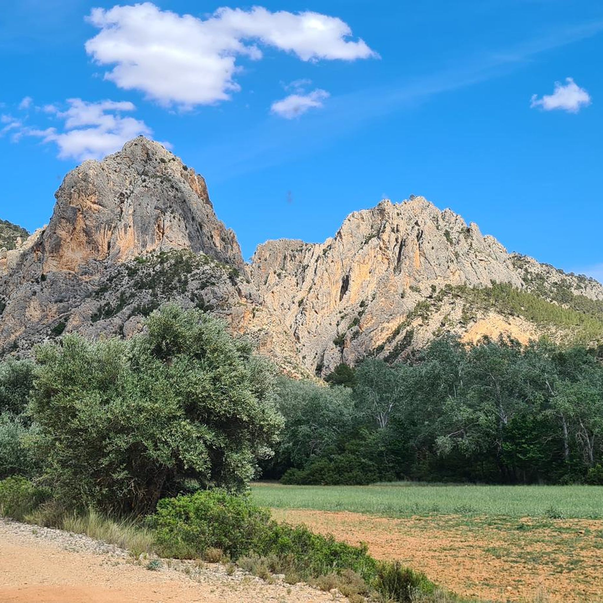

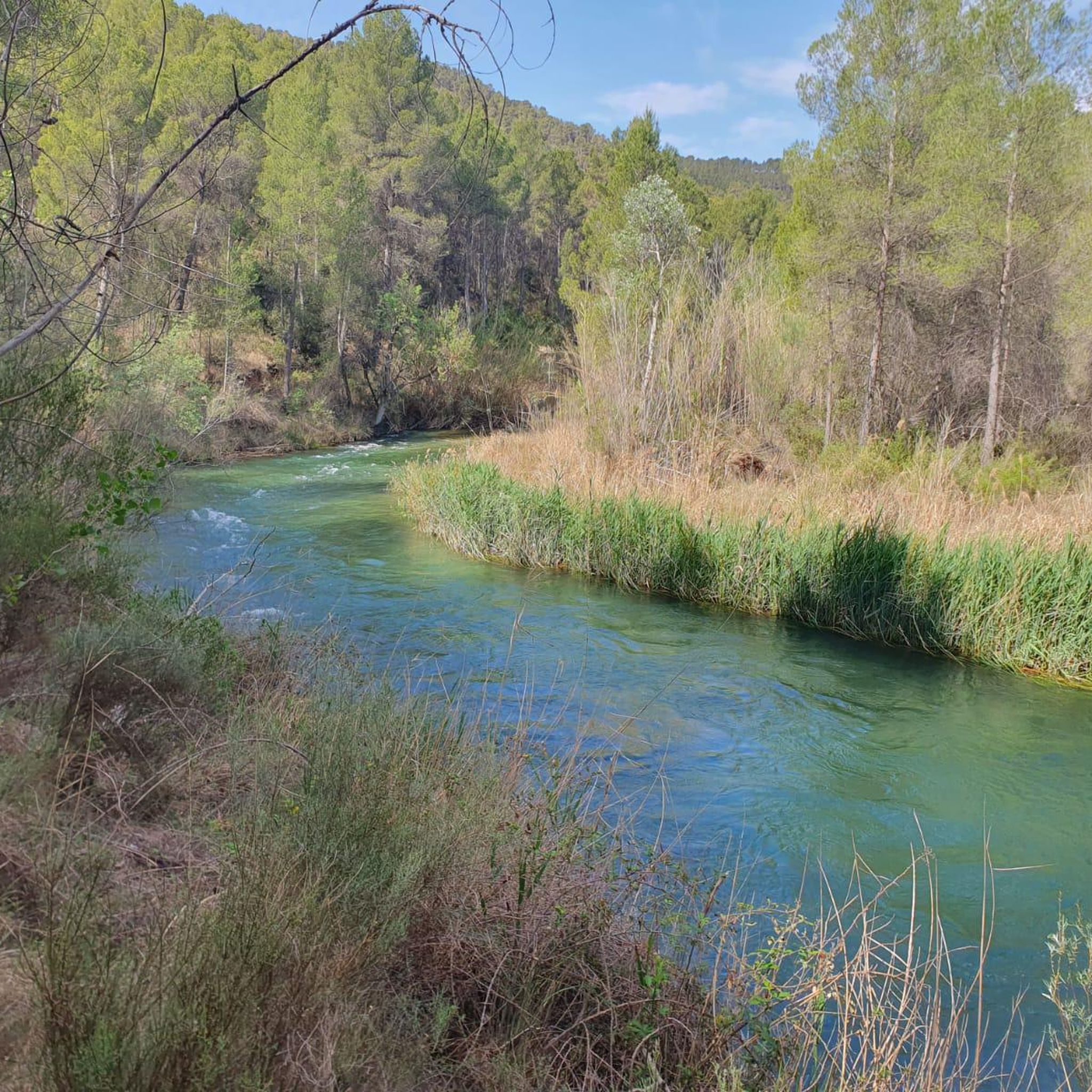

Tips from the Community

Beautiful viewpoint of the dam, the river and the factory.
11
0
The Contreras dam (Embalse de Contreras) is a 129-meter-high arch dam built in 1972. Located on the border of the provinces of Cuenca (Castilla-La Mancha) and Valencia, the dam spans the Cabriel and Guadazaón rivers. The reservoir serves mainly for water supply, flood protection, and irrigation.
11
1
7 bow bridge, so beautiful
11
0
Some houses are still inhabited!!
0
0
Villargordo del Cabriel is a municipality in the Requena-Utiel region, in the province of Valencia. The town is located on the banks of the Cabriel River and is on the border between Castilla-La Mancha and the Valencia region. One of the biggest tourist attractions is the beautiful nature, which is remarkably well preserved.
14
0

Viewpoint next to the old N-III highway After passing the engineer's house, a turnoff leads to the viewpoint located above the old N-III highway. Sweeping views of the reservoir from a high, accessible point.
4
0
Hiking: Popular routes, such as the "Engineer's House" trail, offer viewpoints overlooking the reservoir and the Cabriel River gorges. Guided tours: Occasionally, the Hydrographic Confederation and the Villargordo Town Council organize tours and talks in the village of Contreras. Historic roads: The abandoned section of the old N-III highway and the Contreras Hills attract engineering enthusiasts, with their original 20th-century asphalt and signage.
9
0
Frequently Asked Questions
What kind of terrain can I expect when road cycling in Villarta?
Road cycling in Villarta is characterized by varied terrain, featuring numerous valleys and elevated viewpoints. You'll find routes with undulating profiles and significant elevation changes, offering both challenging climbs and scenic stretches through the landscape.
Are there road cycling routes suitable for beginners in Villarta?
Yes, Villarta offers routes for various ability levels. While many routes feature significant climbs, there is at least one easy route available, and several moderate options, such as the Contreras Inn – Cabriel Valley Viewpoint loop from Graja de Iniesta, which is 52.5 km long.
What are some of the longer road cycling routes in Villarta?
For those seeking longer distances, Villarta has several challenging routes. The Villargordo del Cabriel – Venta del Moro loop from Cueva de los Ángeles spans 121.7 km with substantial elevation gain, and the Contreras Viewpoint – Cabriel Valley Viewpoint loop from Graja de Iniesta covers 108.6 km, offering extensive views and significant climbing.
Are there any circular road cycling routes in Villarta?
Many of the road cycling routes in Villarta are designed as loops, allowing you to start and finish in the same location. Examples include the challenging Villargordo del Cabriel – Venta del Moro loop from Cueva de los Ángeles and the moderate Contreras Inn – Cabriel Valley Viewpoint loop from Graja de Iniesta.
What kind of scenic viewpoints can I find along road cycling routes in Villarta?
Villarta's road cycling routes often lead to stunning viewpoints overlooking the region's valleys and gorges. Notable spots include the Hoz del Rabo de la Sartén Viewpoint, La Fonseca Viewpoint, and Hoz de Vicente Viewpoint, offering expansive vistas of the natural landscape.
What do other road cyclists enjoy about cycling in Villarta?
The komoot community frequently praises Villarta for its varied terrain, which includes both challenging climbs and rewarding scenic stretches. Cyclists particularly enjoy the routes that showcase the region's beautiful valleys and numerous viewpoints, making for a diverse and engaging experience.
Are there any natural attractions or landmarks to see while road cycling in Villarta?
Yes, beyond the cycling itself, you can discover several natural attractions and landmarks. The Vadocañas Bridge is a notable point of interest, and sections of the Turia-Cabriel Nature Trail run through the area, offering glimpses of the Cabriel River.
How many road cycling routes are available in Villarta?
There are 8 road cycling routes detailed for the Villarta region on komoot. These routes cater to various skill levels, including easy, moderate, and difficult options, ensuring there's something for every road cyclist.
What is the difficulty level of road cycling in Villarta?
Road cycling in Villarta offers a range of difficulty levels. While there are 4 difficult routes with significant elevation gains, there are also 3 moderate routes and 1 easy route, allowing cyclists to choose paths that match their experience and fitness levels.
Can I find routes that explore the Cabriel Valley in Villarta?
Absolutely. The Cabriel Valley is a prominent feature in Villarta's road cycling landscape. Routes like the Contreras Inn – Cabriel Valley Viewpoint loop from Graja de Iniesta and the Contreras Viewpoint – Cabriel Valley Viewpoint loop from Graja de Iniesta specifically highlight this scenic area, offering extensive views and challenging climbs.
Which road cycling routes offer the most significant elevation gain in Villarta?
For cyclists looking for substantial climbs, the Contreras Viewpoint – Cabriel Valley Viewpoint loop from Graja de Iniesta features over 1400 meters of elevation gain. Another challenging option is the Villargordo del Cabriel – Venta del Moro loop from Cueva de los Ángeles, with over 1300 meters of ascent.
Most popular attractions around Villarta

Get inspired with the komoot mobile app


Explore more
Browse the best Road cycling routes in other regions.
