The best road cycling routes around Muxika
4.6
(228)
13,375
riders
148
rides
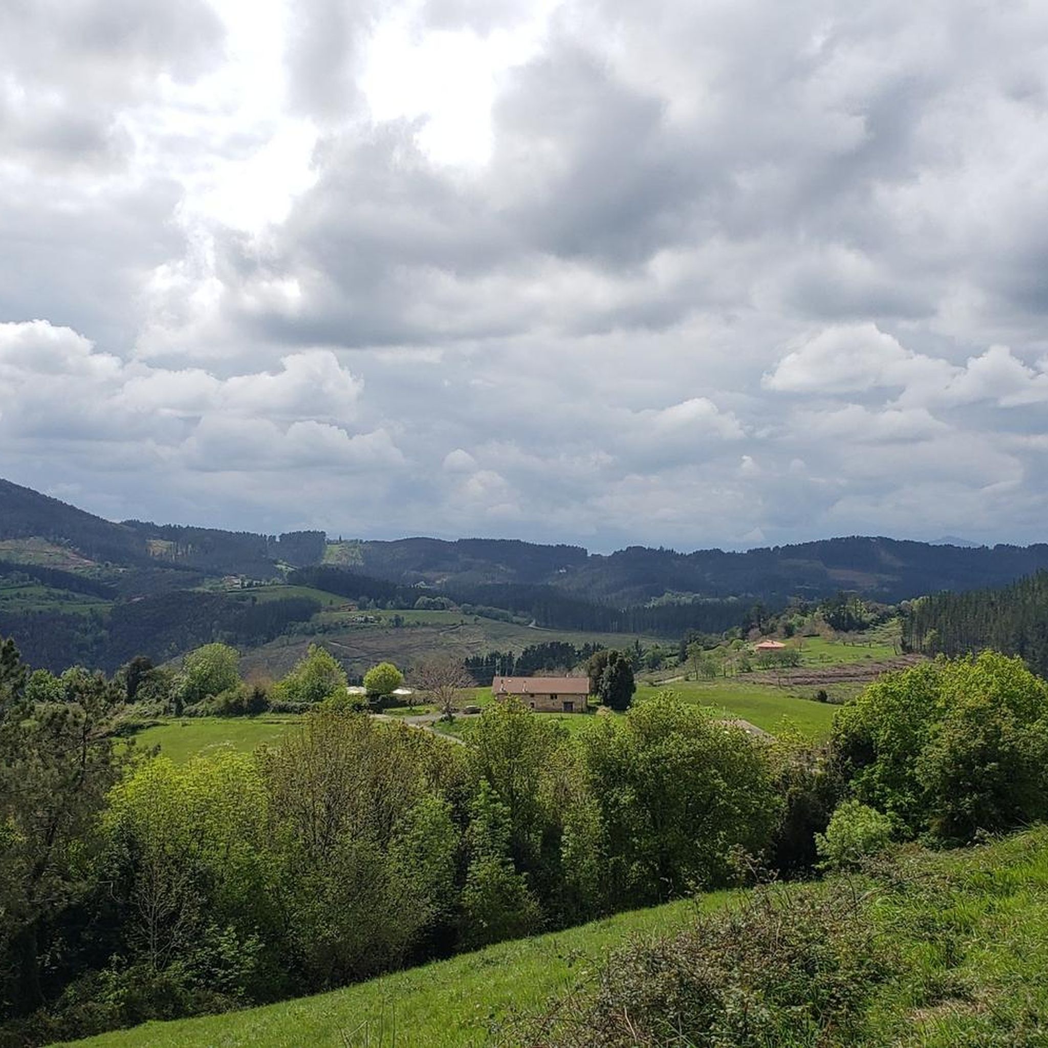
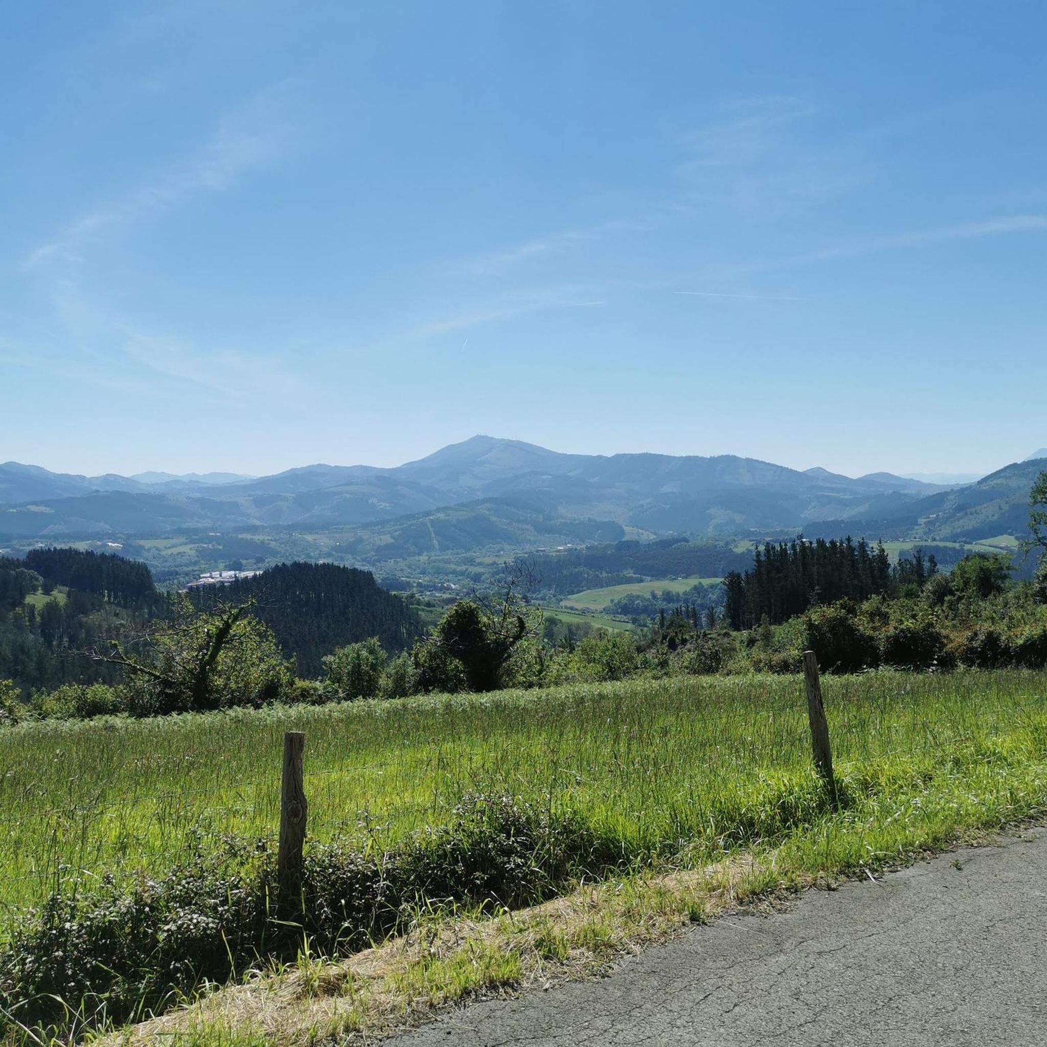
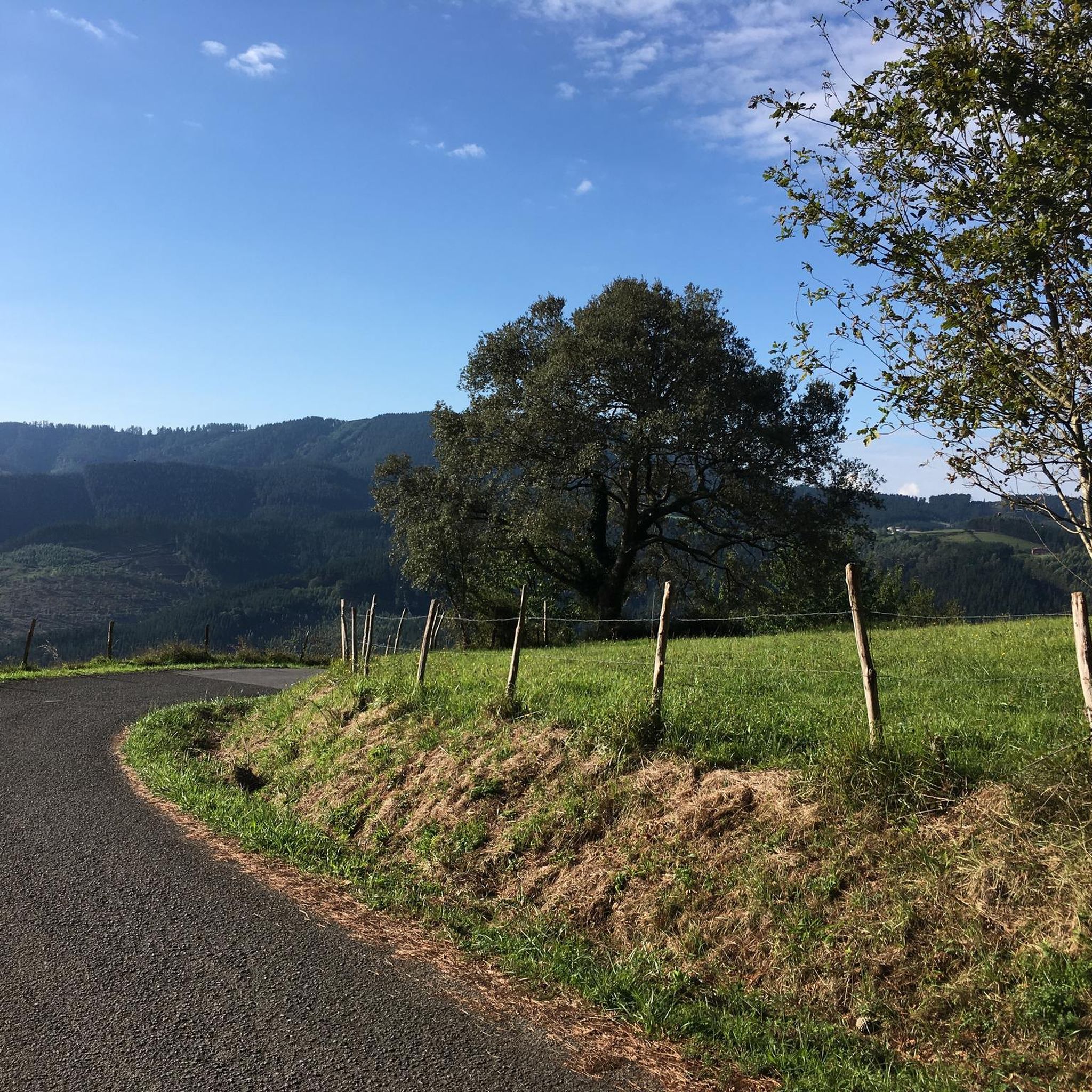
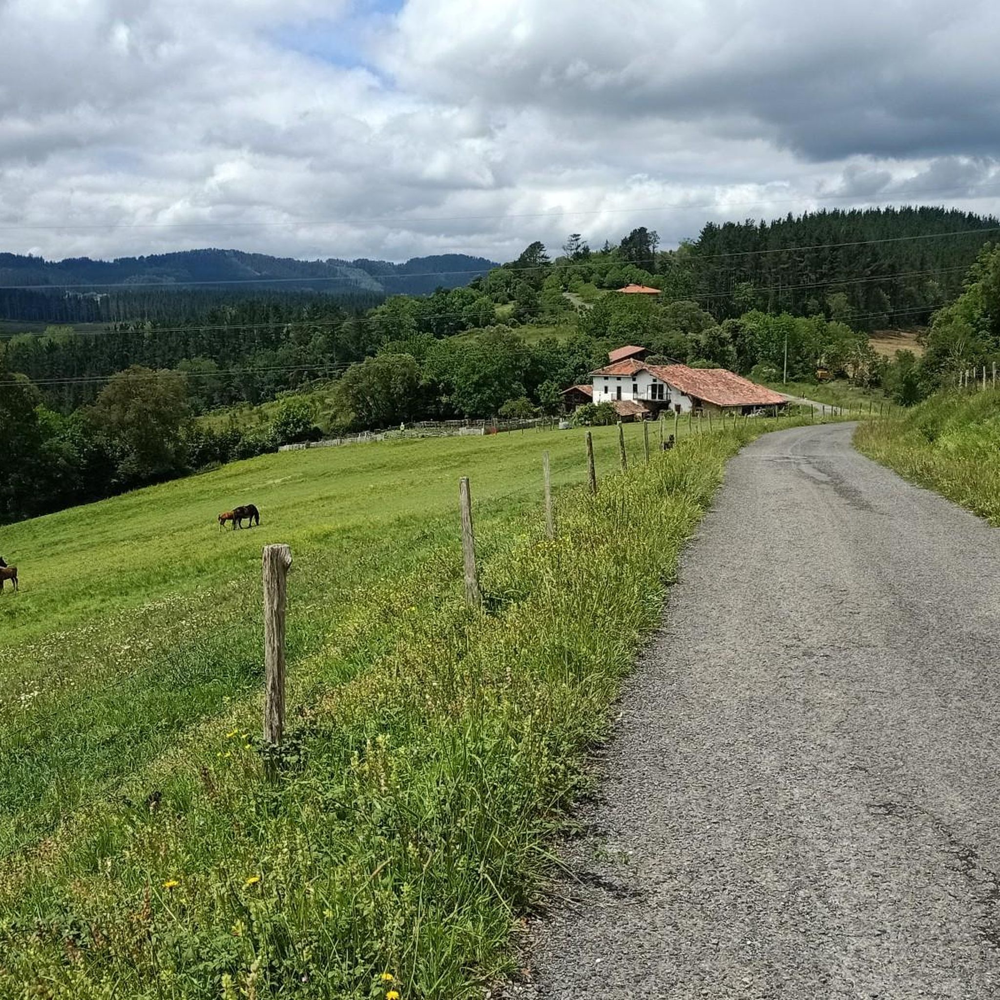
Road cycling routes around Muxika are situated within the Urdaibai Biosphere Reserve, a region characterized by diverse natural landscapes. The terrain features Cantabrian holm oak woods, Atlantic countryside, and a distinctive coastline with cliffs and beaches that transition into a wide estuary and marshlands. Cyclists encounter quiet, well-paved roads winding through forests and villages, alongside numerous mountain passes offering significant elevation gains. The area provides varied backdrops for road cycling, from river basins to coastal views.
Best road cycling routes…
Last updated: July 11, 2026
4.0
(2)
236
riders
51.7km
02:39
910m
910m
Hard road ride. Very good fitness required. Mostly well-paved surfaces and easy to ride.
4.5
(4)
173
riders
59.0km
02:53
860m
860m
Moderate road ride. Good fitness required. Mostly well-paved surfaces and easy to ride.

Sign up for free
85
riders
58.5km
03:10
1,180m
1,180m
Hard road ride. Very good fitness required. Mostly well-paved surfaces and easy to ride.
5.0
(32)
265
riders
81.0km
03:53
1,120m
1,120m
Hard road ride. Very good fitness required. Mostly well-paved surfaces and easy to ride.
90
riders
54.5km
02:53
900m
900m
Hard road ride. Very good fitness required. Mostly well-paved surfaces and easy to ride.
Get access to more routes and recommendations from other explorers.
Sign up for free
Already have an account?
Our route recommendations are based on thousands of hikes, rides, and runs completed by other people on komoot.
Start today with a free account
Your next adventure awaits.
Login or Signup

Tips from the Community


This bridge is an incredible find in the middle of the forest. It is covered with ivy and in summer it is so green that it is hardly visible. If you go down next to the river you can take some great photos with the water and the bridge. For many years this bridge has had to survive numerous floods. It's amazing that he's still here.
1
0

The Artzubi Romanesque bridge was built in the 16th century. Wherever you see it, it has overcome floods and floods from the Golako River, which passes below and flows into the Oka River. In another time there were more bridges like this one, but it is the only one in the area that has endured. https://www.urdailife.com/artzubi-puente-cuento-arratzu-mendata/
0
0
It is located 3 km from Gernika, on the slope of a hill that makes it a natural viewpoint of Gernika and the Oka river plain. It is an essentially rural municipality, with a monumental Church in the Mendieta neighborhood, the central nucleus of the town, in whose surroundings there is also the rectory, the town hall, in neoclassical style. In 1947 Ajangiz became part of Gernika, until in 1987 the de-annexation commission was formed. That finally took place in 1991, becoming from this date a municipality with its own entity. www.ajangiz.net
0
0

The Gontzegaraigane is 2.6 km long, has its highest point at 370 m and rises over a distance of about 2.6 km. The average slope of Gontzegaraigane is 6.5%.
0
0
The Balcony of Bizkaia is the viewpoint from which to enjoy the most mountainous landscape of the Urdaibai basin. Located on the slopes of the Oiz, the balcony of Bizkaia is an emblematic enclave from where you can see the forest mass of the area in all its breadth. There is a legend that tells that this place was a place where the witches met when night fell. The complete ascent from Lekeitio is 21 kilometers but everything gets more interesting in the last 7 kilometers (this section), in which you will ascend from 123 meters above sea level to 423.
0
0
Kortezubi is a municipality that preserves an extensive landscape, ecological and cultural heritage. It was chosen by our ancestors as a home and residence in prehistoric times, undoubtedly attracted by the abundance of resources and the comfort of its many caves. Proof of this is the Santimamiñe Cave. It enjoys a landscape open towards the estuary and secluded in the interior valleys, with walks and routes that immerse you in an exceptional landscape. More info at: https://turismourdaibai.com/es/kortezubi/
0
0
It is located at the foot of Mount Iluntzar, and the average altitude of the municipality is 360m, the highest in the region. Starting in the 10th century, the neighborhoods as we know them now began to take shape, each one around its own hermitage: the Ikazurieta neighborhood with its San Cristobal hermitage, the Uribarri neighborhood around the San Miguel hermitage, the San Gregorio in the Merika neighbourhood, Santiago in the Lekerika neighbourhood, and finally the Elexalde neighbourhood, around the church of Santa María de Gorostiza. The gastronomy also marks the history of Nabarniz, with its specialty in red beans, and above all, the vegetable stew. Enjoy these specialties in the town's restaurants. More info at: https://turismourdaibai.com/es/nabarniz/
0
0
Frequently Asked Questions
What kind of terrain can I expect on road cycling routes around Muxika?
The road cycling routes around Muxika offer a diverse range of terrain. You'll find quiet, well-paved roads winding through charming villages and lush forests, alongside numerous mountain passes that present significant elevation gains. The region, part of the Urdaibai Biosphere Reserve, features Cantabrian holm oak woods, Atlantic countryside, and coastal areas with cliffs and beaches transitioning into a wide estuary and marshlands, providing varied backdrops for your ride.
How challenging are the road cycling routes in Muxika?
Muxika offers a range of road cycling routes suitable for various skill levels. While there are options for moderate rides, many routes feature challenging mountain passes with significant elevation gains. For instance, the Lekeitio Old Town and Basilica – View of Laga Beach loop from Lurgorri is a difficult 72.1 km trail with over 1000 meters of elevation gain, exploring the inland area of Urdaibai. Similarly, the Mendata Village – Artzubi Bridge loop from Zugastieta is a challenging 51.7 km path winding through villages and forests.
Are there any easy or family-friendly road cycling routes in Muxika?
Yes, while Muxika is known for its challenging climbs, there are also easier options available. The region offers routes suitable for different ability levels, including moderate rides. For example, the Laida Beach – View of Laga Beach loop from Arana (Seat) is a moderate 57.7 km trail that leads through coastal areas, offering a less strenuous experience compared to some of the more mountainous routes.
What natural features and landmarks can I see along the road cycling routes?
Road cycling routes around Muxika are rich with natural beauty and interesting landmarks. You can encounter features like the basin of the Oka River, Cantabrian holm oak woods, and coastal views. Notable attractions include the Artzubi Bridge, the unique Oma Forest, and the historic Old Tree of Gernika (Gernikako Arbola). For stunning panoramic views, consider routes that pass by the Balcón de Bizkaia Viewpoint.
When is the best time of year to go road cycling in Muxika?
The Basque Country, including Muxika, is generally lauded as one of Spain's best cycling regions, suitable for various seasons. However, for optimal conditions, spring and autumn typically offer pleasant temperatures and less extreme weather, making them ideal for tackling the region's diverse terrain, from coastal vistas to challenging mountainous climbs. Summer can also be good, but be prepared for warmer temperatures, especially on inland routes.
Are there any specific viewpoints or scenic spots along the routes?
Yes, Muxika's location within the Urdaibai Biosphere Reserve means many routes offer breathtaking viewpoints. Cyclists can find vistas overlooking the sea and the Mundaka estuary. The Balcón de Bizkaia Viewpoint is a particularly notable spot for panoramic views. Additionally, routes leading towards the coast often provide dramatic views of the Cantabrian Sea and the rugged coastline, including areas near the Matxitxako lighthouse.
What do other road cyclists enjoy most about road cycling in Muxika?
The road cycling routes in Muxika are highly rated by the komoot community, with an average score of 4.7 stars from over 100 reviews. Reviewers often praise the diverse and striking natural landscapes, the blend of quiet, well-paved roads through charming villages, and the challenging yet rewarding mountain passes. The region's unique ecosystems, from holm oak woods to coastal cliffs, are frequently highlighted as a major draw.
Can I find circular road cycling routes around Muxika?
Yes, many of the road cycling routes around Muxika are designed as loops, allowing you to start and finish in the same location. Examples include the Lekeitio Old Town and Basilica – View of Laga Beach loop from Lurgorri and the Ascent to Gontzegaraigane – Artzubi Bridge loop from Muxika, both offering comprehensive tours of the region's varied landscapes.
Are there any historical or cultural points of interest accessible by bike?
Absolutely. Muxika's routes can lead you to several historical and cultural sites. You can visit the Monastery of Santa María de Zenarruza, a significant religious building. The Guernica Mural in Gernika offers a powerful cultural experience, and the Old Tree of Gernika (Gernikako Arbola) is a symbol of Basque liberties. These points of interest can be integrated into your cycling itinerary.
What are the typical elevation gains on road cycling routes in Muxika?
Road cycling routes around Muxika often feature significant elevation gains, especially those that traverse the region's mountain passes. For example, the View of Laga Beach – Ereño Marble Quarries loop from Zugastieta, a difficult 71 km route, includes over 1179 meters of ascent. Even moderate routes like the Laida Beach – View of Laga Beach loop from Arana (Seat) can involve around 850 meters of climbing.
How many road cycling routes are available around Muxika?
There are over 100 road cycling routes available around Muxika on komoot, offering a wide variety of options for different preferences and skill levels. This includes 13 easy routes, 55 moderate routes, and 51 difficult routes, ensuring there's something for every road cyclist.
Most popular attractions around Muxika

Get inspired with the komoot mobile app


Explore more
Browse the best Road cycling routes in other regions.
