The best walks and hikes around Hinojal
4.2
(17)
70
hikers
5
hikes
Hiking around Hinojal offers routes through open countryside, gentle hills, and areas featuring historical landmarks. The region is characterized by a mix of agricultural land and natural spaces, often incorporating water features like ponds and reservoirs. Elevation gains are generally moderate, providing accessible paths for various fitness levels.
Best hiking trails around Hinojal
- The most popular hiking route is Gothic bridge of San Benito circular from the train station Cañaveral, a 4.5 miles (7.2 km) trail that takes 1…
Last updated: October 11, 2026
5.0
(6)
16
hikers
7.20km
01:57
100m
100m
Easy hike. Great for any fitness level. Easily-accessible paths. Suitable for all skill levels.
4.7
(3)
21
hikers
15.5km
04:15
240m
240m
Moderate hike. Good fitness required. Easily-accessible paths. Suitable for all skill levels.

4.0
(3)
12
hikers
25.7km
06:54
310m
310m
Hard hike. Very good fitness required. Easily-accessible paths. Suitable for all skill levels.
2.5
(2)
6
hikers
4.92km
01:22
90m
90m
Easy hike. Great for any fitness level. Easily-accessible paths. Suitable for all skill levels.
2
hikers
7.41km
01:55
40m
40m
Easy hike. Great for any fitness level. Easily-accessible paths. Suitable for all skill levels.
Our route recommendations are based on thousands of hikes, rides, and runs completed by other people on komoot.
Start today with a free account
Your next adventure awaits.

Tips from the Community

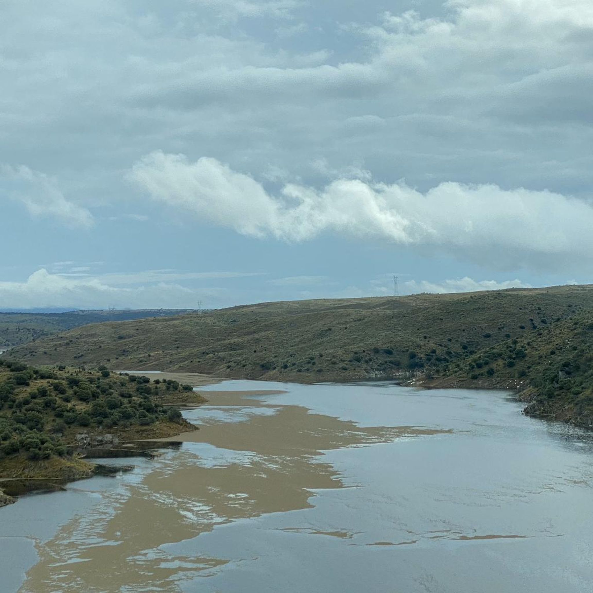
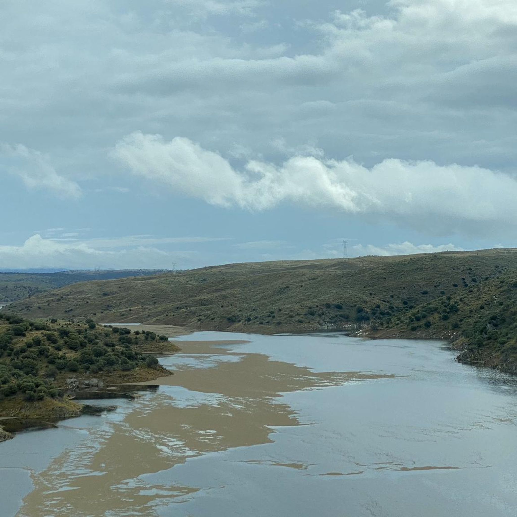
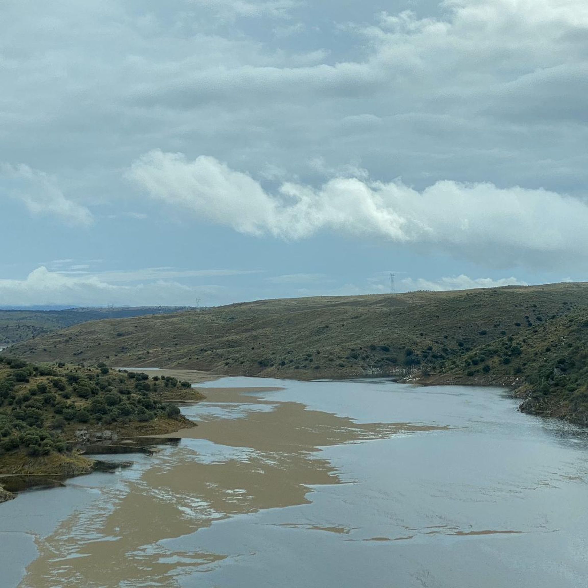
Also known as the Tajo Reservoir, it is the second largest in Spain by capacity. This body of water is home to countless bird species and intensifies the beauty of the landscape.
0
0
This section of the western Royal Road of Soria runs along the top of hills that reveal the beautiful surrounding landscape. The view is lost among mountain ridges and groves.
0
0

Just a few meters on the pedestrian path along the street
0
0

Alcántara-Garrovillas reservoir, which runs between the municipalities of Garrovillas de Alconétar and Santiago del Campo.
5
0
Cañaveral is a Spanish town and municipality, located in the province of Cáceres, in the autonomous community of Extremadura. Administratively, it is part of the judicial district of Cáceres and the community of Riberos del Tajo. It is located in the center of the province, north of the Tagus River, near a chain of mountain ranges that extend from the Monfragüe National Park.
2
0

The GR-113 runs through this pretty little town to the north of the Tagus River. The medieval temple of Santa Marina is an interesting place to visit during your stay.
1
0

This refuge offers protection from the sun and inclement weather for hikers who walk the Tagus Nature Trail. It is an ideal place to rest in the shade and enjoy the views of the Alcántara reservoir.
2
0
The gothic bridge of San Benito crosses the Arroyo de las Juntas just one kilometer from the town of Cañaveral. It is a medieval construction dating from the fourteenth century.
2
0
Frequently Asked Questions
How many hiking trails are available in Hinojal?
Hinojal offers several hiking routes, with a total of 4 tours currently listed on komoot. These range in difficulty from easy strolls to more challenging long-distance hikes.
Are there easy hiking trails suitable for families in Hinojal?
Yes, Hinojal has several easy routes perfect for families. The Gothic bridge of San Benito circular from the train station Cañaveral is an easy 7.2 km circular trail that explores a historical Gothic bridge. Another accessible option is the Pondside Campsite loop from Cañaveral, an easy 4.9 km path.
Can I find circular hiking routes in Hinojal?
Yes, many trails in Hinojal are circular, allowing you to start and end at the same point. Examples include the popular Gothic bridge of San Benito circular from the train station Cañaveral and the longer Tajo Reservoir – San Benito Gothic Bridge loop from Garrote.
What kind of landscapes can I expect to see while hiking in Hinojal?
Hiking in Hinojal features open countryside, gentle hills, and a mix of agricultural land and natural spaces. You'll often encounter water features like ponds and reservoirs, and historical landmarks are integrated into many routes.
Are there any historical landmarks or points of interest along the trails?
Yes, Hinojal's trails often incorporate historical points of interest. You can explore the historic San Benito Gothic Bridge, or discover the Floripes Tower. The Tajo Reservoir – San Benito Gothic Bridge loop from Garrote specifically connects a reservoir with this historic bridge.
What do other hikers enjoy most about hiking in Hinojal?
The area is highly rated by the komoot community, with an average score of 4.2 stars from over 12 reviews. Hikers often praise the region's varied terrain, which offers options for different ability levels, and the integration of historical sites into the natural landscape.
Are there any trails that pass by reservoirs or lakes?
Yes, several routes in Hinojal feature water bodies. The Tajo Reservoir – San Benito Gothic Bridge loop from Garrote leads through open landscapes and connects to the Tajo Reservoir. You can also find highlights like the Alcántara-Garrovillas Reservoir and Talaván Reservoir nearby.
What is the best season for hiking in Hinojal?
Given the region's characteristics of open countryside and moderate elevation, spring and autumn are generally ideal for hiking in Hinojal. The temperatures are milder, and the landscape is vibrant. Summer can be very hot, and winter might bring cooler, wetter conditions.
Are there any less crowded hiking options in Hinojal?
While the popular routes like the Gothic bridge circular can see more visitors, exploring some of the other trails might offer a quieter experience. The Cruz de Santa Ana – Ermita de Santa Ana loop from Monroy is an easy 7.4 km route that could provide a more tranquil walk.
What are the typical elevation gains on Hinojal's hiking trails?
Elevation gains in Hinojal are generally moderate, making paths accessible for various fitness levels. For example, the easy Gothic bridge of San Benito circular has an elevation gain of about 99 meters, while the more difficult Tajo Reservoir – San Benito Gothic Bridge loop has a gain of around 285 meters.
Most popular attractions around Hinojal

Get inspired with the komoot mobile app


Explore more
Browse the best Hikes in other regions.
