The best walks and hikes around Hermisende
4.4
(177)
652
hikers
15
hikes
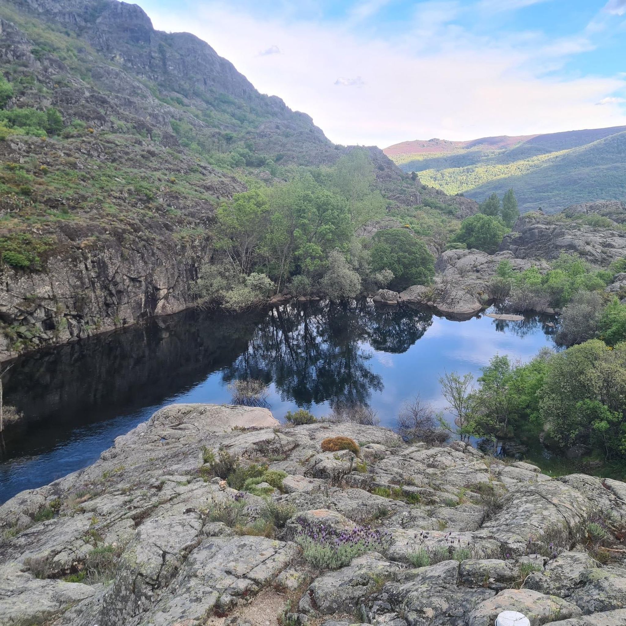
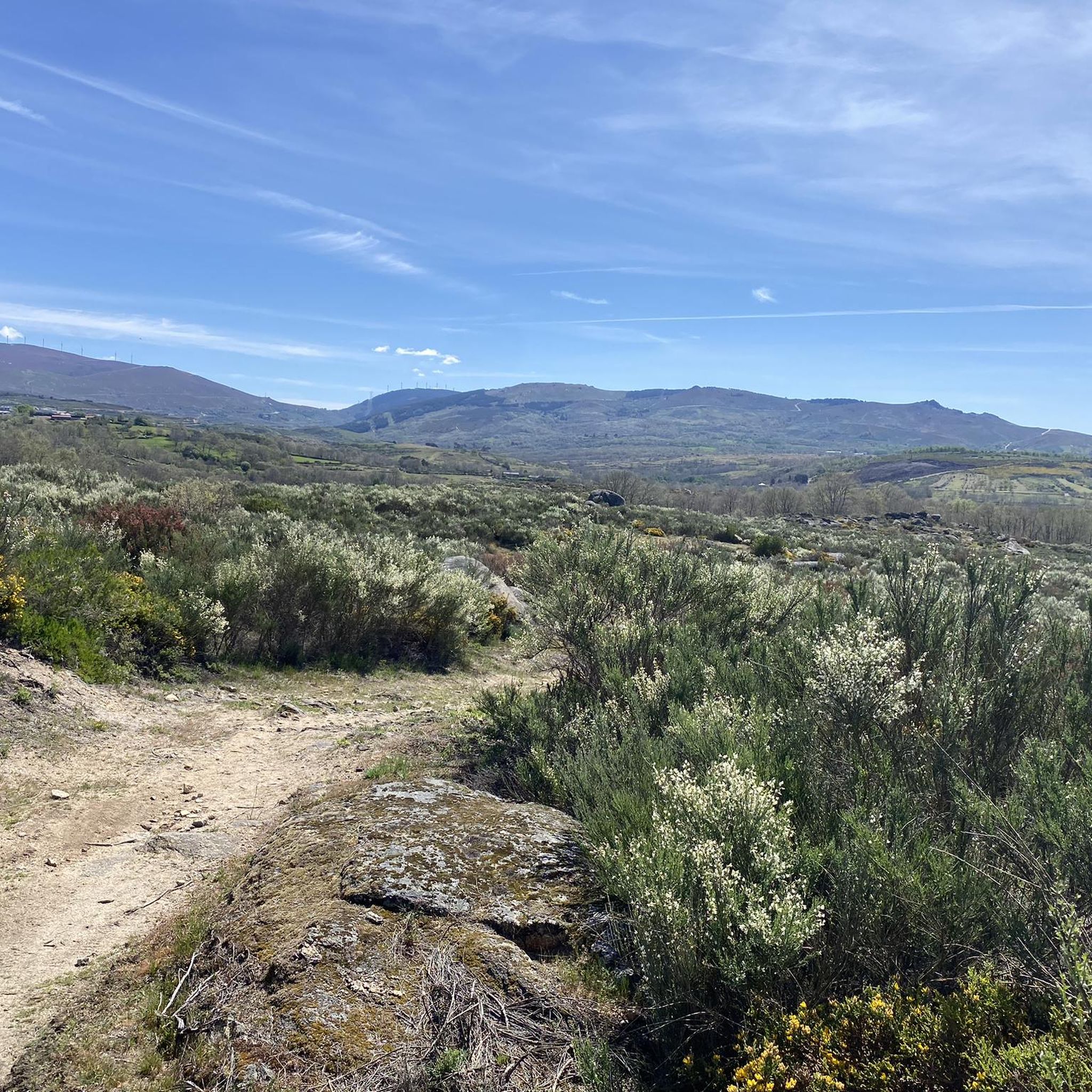
Hiking around Hermisende offers access to the diverse landscapes of the Sierra Segundera mountain range and the Galician Massif. The region is characterized by wild mountainous terrain, significant granite formations, and river valleys carved by the Tuela River. Ancient chestnut trees and various reservoirs also contribute to the natural scenery, providing varied environments for exploration.
Best hiking trails around Hermisende
- The most popular hiking route is PR3 Porto Furado Trail, a 5.0 miles (8.0 km) trail that takes 2…
Last updated: August 23, 2026
4.7
(65)
207
hikers
7.99km
02:23
260m
260m
Moderate hike. Good fitness required. Easily-accessible paths. Suitable for all skill levels.
4.2
(26)
112
hikers
7.89km
02:16
200m
190m
Moderate hike. Good fitness required. Easily-accessible paths. Suitable for all skill levels.

Sign up for free
4.8
(18)
89
hikers
Easy hike. Great for any fitness level. Easily-accessible paths. Suitable for all skill levels.
2
hikers
8.68km
02:23
140m
150m
Moderate hike. Good fitness required. Easily-accessible paths. Suitable for all skill levels.
4.52km
01:16
90m
90m
Easy hike. Great for any fitness level. Easily-accessible paths. Suitable for all skill levels.
Get access to more routes and recommendations from other explorers.
Sign up for free
Already have an account?
Our route recommendations are based on thousands of hikes, rides, and runs completed by other people on komoot.
Start today with a free account
Your next adventure awaits.
Login or Signup
Tips from the Community

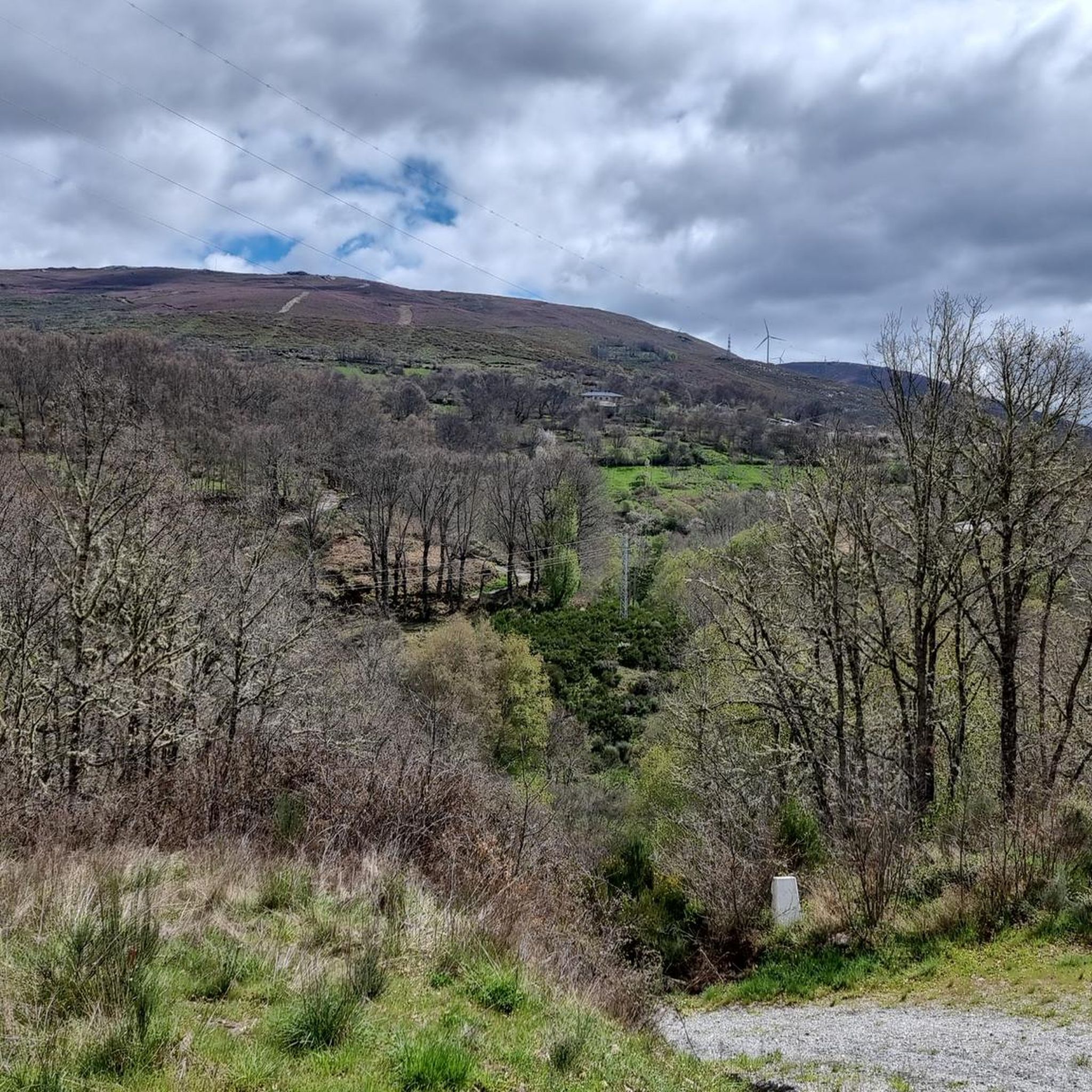
Here begins an uphill section through forests
0
1

The Mirador de las Peñas del Veladero, located in the municipality of Requejo (Zamora), is a spectacular natural balcony overlooking the Sanabria region, ideal for hiking, photography, and nature lovers.
2
0

At this point, the trail invites you to embark on a little adventure: crossing the bed of a stream on the Baceiro River. When the rain lets up, the crossing is easy. And with a touch of excitement!
1
0
Along the Baceiro River, three community-run mills still stand, two in Vilarinho and one in Cova de Lua. This is one of them, a living relic of local ingenuity, which uses the power of water to grind grain and tell stories of a time when sharing and ingenuity went hand in hand.
2
0

Vilarinho is located 16 km northwest of Bragança, within the Montesinho Natural Park. It belongs to the parish of Espinhosela, which includes the villages of Terroso and Cova de Lua. An autonomous parish and a leaseholder of the king in the Inquisitions of 1258, it was taxed by D. Dinis at 70 pounds per year to fund the war against the Moors. Between the 16th and 18th centuries, the College of Jesus of Bragança held heritage assets here. Both the main church of São Cipriano, built within the village, and the Chapel of Santo Amaro, located 1 km southeast, on a hill of 819 m, have existed for centuries. The current Chapel is located in an ancient and fortified Iron Age settlement, with attested archaeological remains. It was later Romanized and Christianized. In the mid-16th century, the Temples were in a deplorable state in terms of sustainability and dignity. In 1699, with the facade in ruins and the doors open, it was decided to demolish the Chapel and use and sell materials to renovate the Church.
2
0
The Montesinho Natural Park covers an area of approximately 75 thousand hectares and is located in the Terra Fria Transmontana region, in the extreme northeast of Portugal, bordering the Spanish communities of Galicia and Castile-Leon. It covers the territories of two municipalities, namely Bragança and Vinhais. As a curiosity, you should know that there are more than 90 villages within the Montesinho Natural Park and that the highest point in the park is the Serra do Montesinho, whose peak is 1,486 metres above sea level.
2
0
The Montesinho Natural Park covers an area of approximately 75 thousand hectares and is located in the Terra Fria Transmontana region, in the extreme northeast of Portugal, bordering the Spanish communities of Galicia and Castile-Leon. It covers the territories of two municipalities, namely Bragança and Vinhais. As a curiosity, you should know that there are more than 90 villages within the Montesinho Natural Park and that the highest point in the park is the Serra do Montesinho, whose peak is 1,486 metres above sea level.
3
0
The Montesinho Natural Park covers an area of approximately 75 thousand hectares and is located in the Terra Fria Transmontana region, in the extreme northeast of Portugal, bordering the Spanish communities of Galicia and Castile-Leon. It covers the territories of two municipalities, namely Bragança and Vinhais. As a curiosity, you should know that there are more than 90 villages within the Montesinho Natural Park and that the highest point in the park is the Serra do Montesinho, whose peak is 1,486 metres above sea level.
3
0
Frequently Asked Questions
How many hiking trails are available in Hermisende?
Hermisende offers a diverse network of over 15 hiking trails, catering to various preferences and skill levels. These routes explore the unique landscapes of the Sierra Segundera mountain range and the Tuela River valley.
Are there hiking trails for all skill levels in Hermisende?
Yes, Hermisende provides options for every hiker. You'll find 4 easy trails perfect for a gentle stroll, 10 moderate routes for those seeking a bit more challenge, and 1 difficult trail for experienced trekkers looking for a demanding adventure.
When is the best time of year to go hiking in Hermisende?
The region's mountainous terrain and river valleys make spring and autumn ideal for hiking, offering pleasant temperatures and vibrant natural scenery. Summer can also be enjoyable, especially at higher elevations, but it's wise to start early to avoid the midday heat. Winter hiking is possible but may require appropriate gear for colder conditions.
Are there any trails with waterfalls or significant water features?
Yes, the region is rich in water features. You can discover natural torrents like the 'Ava das Ferodoras' mentioned in local lore, and the Sotillo Waterfall is a notable highlight. Several routes also offer picturesque views of reservoirs, such as those found along the PR3 Porto Furado Trail.
Are there family-friendly or easy hiking routes in Hermisende?
Absolutely. For families or those seeking a relaxed walk, Hermisende has 4 easy trails. A great option is the Castro de As Muradellas Trail, which is just over 4.5 km and offers an accessible way to explore the area's natural beauty.
Can I find circular hiking routes in Hermisende?
Yes, several routes in Hermisende are circular, allowing you to start and end at the same point. An excellent example is the Bosque de Tejedelo — circular by Requejo de Sanabria, which takes you through ancient chestnut forests. Another is the Chestnut path and meadows of Hermisende — circular through the Valley.
What kind of natural landscapes can I expect to see while hiking in Hermisende?
Hermisende's hiking trails traverse a rich variety of natural landscapes. You'll encounter wild mountainous terrain, impressive granite formations, and serene river valleys carved by the Tuela River. The area is also known for its ancient chestnut trees and picturesque reservoirs, offering diverse and scenic environments.
What do other hikers enjoy the most about hiking in Hermisende?
The area is highly rated by the komoot community, with an average score of 4.5 stars from over 140 reviews. Hikers often praise the region's wild, unspoiled landscapes, the variety of terrain from river valleys to mountain paths, and the opportunity to discover both natural beauty and historical elements like ancient stone carvings.
Are the hiking trails in Hermisende dog-friendly?
Generally, the natural trails around Hermisende are suitable for dogs, especially given the rural and wild character of the region. However, it's always recommended to keep dogs under control, especially near livestock or in protected natural areas like Montesinho Natural Park, and to check specific trail regulations if available.
Are there any notable landmarks or points of interest along the trails?
Beyond the natural beauty, you can discover historical and cultural points of interest. The Scenic landscape in Parque Natural de Montesinho offers stunning views, and the region has ancient stone carvings at places like Petra Daseradoras. The church of San Cyprian de Missende is also a significant cultural landmark and a common starting point for adventures.
What is the PR4 Ornal Trail like?
The PR4 Ornal Trail is a moderate 7.9 km path that leads through varied terrain within the Sierra Segundera. It's a favorite among local hikers for its scenic views and engaging landscape, typically taking around 2 hours and 15 minutes to complete.
Can I combine hiking with exploring nearby natural attractions?
Absolutely. Hermisende is ideally situated for exploring nearby natural attractions. You can visit the Albufeira de Prada or the Serra Serrada Reservoir, both of which are beautiful lakes offering serene views. The region also borders Montesinho Natural Park in Portugal, providing even more opportunities for natural exploration.
Most popular routes around Hermisende
Most popular attractions around Hermisende

Get inspired with the komoot mobile app


Explore more
Browse the best Hikes in other regions.
