The best MTB trails around Santa María La Real De Nieva
4.6
(42)
275
riders
64
rides
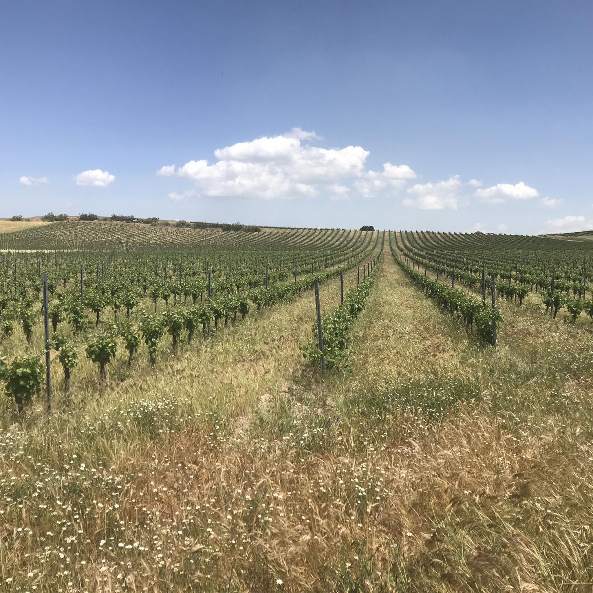
Mountain bike trails around Santa María La Real De Nieva are primarily characterized by the largely flat terrain and gentle undulations of the "La Campiña" region, traversed by the Moros and Voltoya rivers. The area features small forests of holm oaks and pines, particularly around Paradinas, Aragoneses, Tabladillo, and Pinilla-Ambroz. While the immediate surroundings offer gentler routes, the broader province of Segovia provides access to more mountainous areas like the Sierra de Guadarrama, approximately 30 kilometers away. This proximity allows for diverse mountain biking experiences, from riverside paths to more challenging regional trails.
Best mountain bike trails around Santa María La Real De Nieva
- The most popular mountain bike trail is Moros River loop from Juarros de Riomoros, a 31.6 miles (50.8 km) trail that takes 4 hours 14 minutes to complete. This route follows the Moros River through the local countryside.
- Another top favourite among local mountain bikers is Puente de Constanzana loop from Carbonero el Mayor, a difficult 36.6 miles (59.0 km) path. This trail offers significant elevation gain and varied terrain.
- Local mountain bikers also love the Mirador El Majano loop from Garcillán, a 14.3 miles (23.0 km) trail leading through gentle landscapes with scenic viewpoints, often completed in about 1 hour 43 minutes.
- Mountain biking around Santa María La Real De Nieva is defined by flat terrain, riverbanks, and holm oak and pine forests. The network offers options for different ability levels, from easy loops to more challenging regional routes.
- The routes in Santa María La Real De Nieva are highly rated by the komoot community with an average score of 4.6 stars from over 35 reviews. More than 238 mountain bikers have used komoot to explore Santa María La Real De Nieva's varied terrain.
Last updated: July 11, 2026
8
riders
50.8km
04:14
320m
320m
Moderate mountain bike ride. Good fitness required. Advanced riding skills necessary.
6
riders
58.4km
05:25
860m
860m
Hard mountain bike ride. Very good fitness required. Advanced riding skills necessary.

Sign up for free
5.0
(2)
6
riders
23.0km
01:43
130m
130m
Easy mountain bike ride. Great for any fitness level. Suitable for all skill levels.
5
riders
44.9km
03:39
320m
320m
Moderate mountain bike ride. Good fitness required. Suitable for all skill levels.
5.0
(1)
5
riders
55.3km
04:32
640m
640m
Hard mountain bike ride. Good fitness required. Advanced riding skills necessary. Some portions of the route may require you to push your bike.
Get access to more routes and recommendations from other explorers.
Sign up for free
Already have an account?
Our route recommendations are based on thousands of hikes, rides, and runs completed by other people on komoot.
Start today with a free account
Your next adventure awaits.
Login or Signup
Popular around Santa María La Real De Nieva
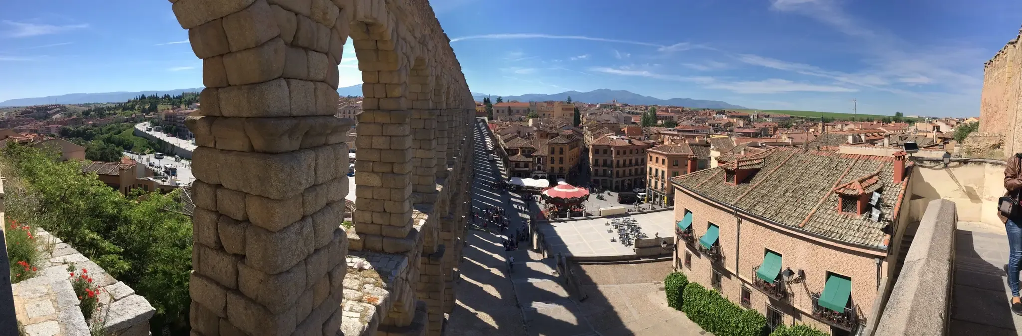
Riding through Spain’s Segovian countryside — Eresma Valley Greenway
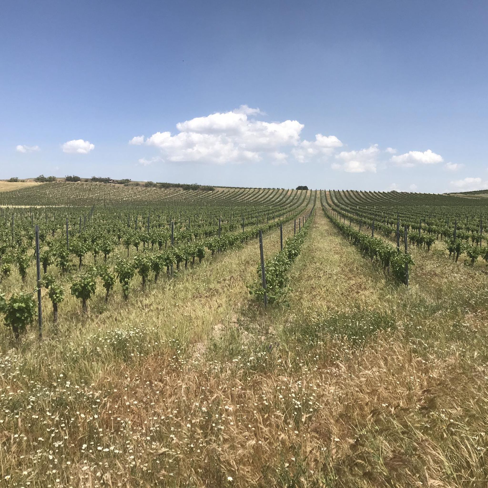
Road Cycling Routes around Santa María La Real De Nieva
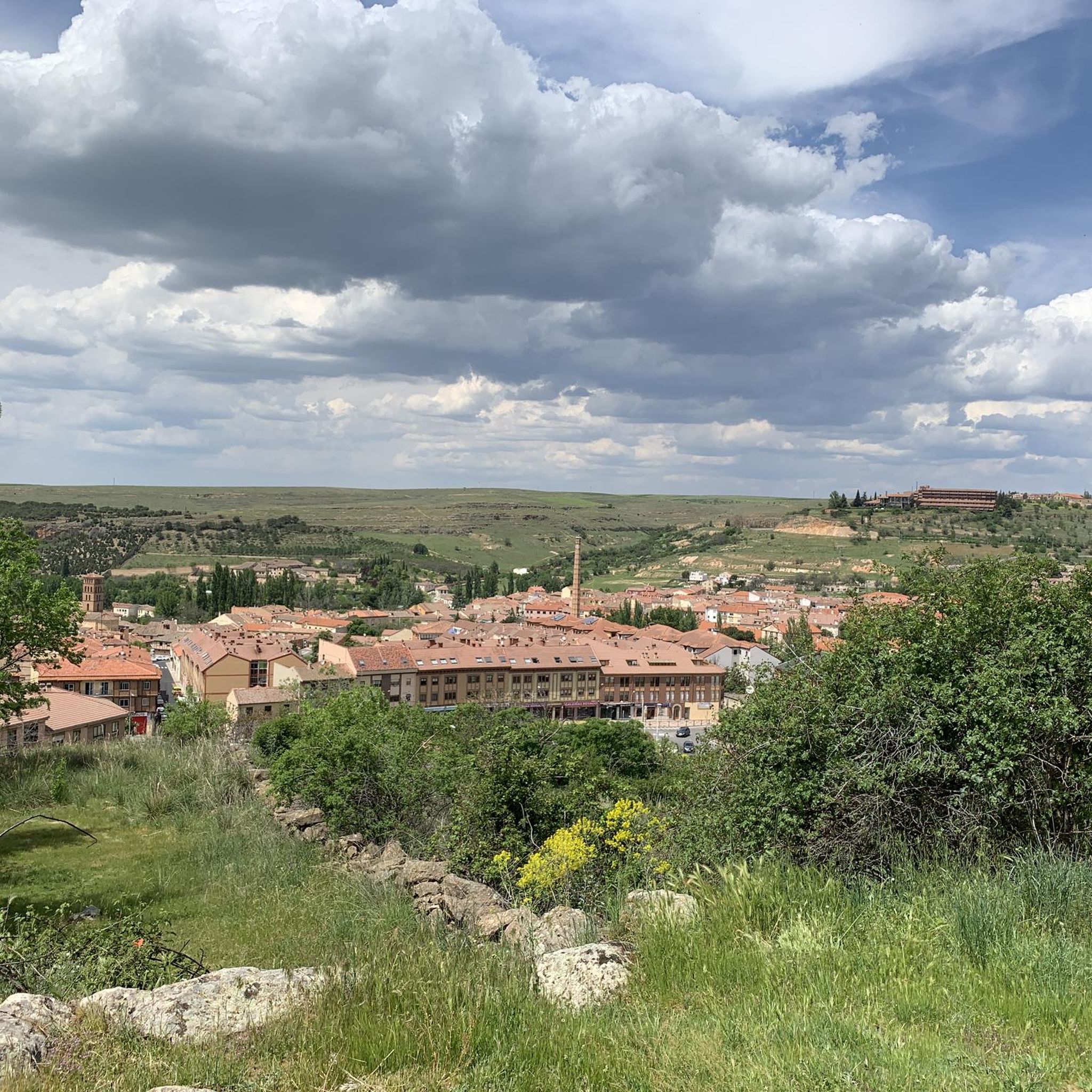
Hiking around Santa María La Real De Nieva

Gravel biking around Santa María La Real De Nieva
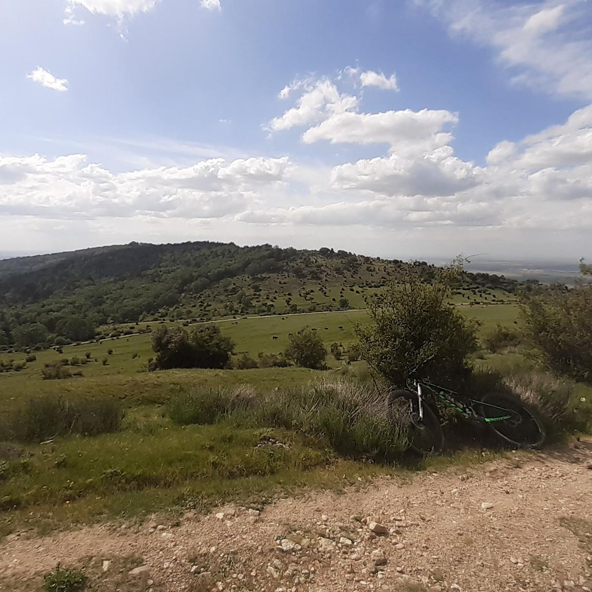
Running Trails around Santa María La Real De Nieva
Cycling around Santa María La Real De Nieva
Other adventures around Santa María La Real De Nieva

Tips from the Community

Pretty and small reservoir that you find when you descend from the Puerto de la Fuenfría towards the Cañada Real Segoviana
0
0

A historic site from where water was transferred to the Segovia aqueduct. It's also a green, cool area where you'll want to relax and meditate.
0
0

The Hermitage of Santa María del Soto is a place of great historical and spiritual significance. It houses the image of the Virgen del Soto, who is the patron saint of the town and protector of trees and livestock.
2
0
Carbonero el Mayor is a municipality and Spanish town in the province of Segovia, in the southern part of the autonomous community of Castilla y León. It appears cited in 1247 under the name Carbonero de Liedos; In 1587 it was mentioned as Carbonero la Mayor and in the 19th century it already appeared with its current name.
4
0

Small deviation from the Acueducto route, ideal for eating a chub sitting on a field, watching the water and the landscape
1
0

A natural space. Stork nests on ancient ash trees. Pasture forest.
2
0

Carbonero el Mayor is a town located north of the city of Segovia, in the middle of the plain that goes from the Central System and the great plains of Valladolid.
1
0

From this point we have a beautiful view of the Constanzana Bridge that allows us to cross the Eresma river. A good place to rest and recover energy and why not? take a nice picture.
1
0
Frequently Asked Questions
How many mountain bike trails are available around Santa María La Real De Nieva?
There are over 50 mountain bike trails available in the Santa María La Real De Nieva area, offering a variety of experiences for different skill levels.
Are there mountain bike trails suitable for beginners in the area?
Yes, the region offers several easy mountain bike trails. For example, the Mirador El Majano loop from Garcillán is an easy 23 km trail that takes about 1 hour 43 minutes to complete, leading through gentle landscapes with scenic viewpoints.
What options are there for experienced mountain bikers seeking a challenge?
While the immediate surroundings of Santa María La Real De Nieva are generally flatter, the broader province of Segovia, particularly the Sierra de Guadarrama (about 30 km away), offers more technical and challenging routes with significant elevation gains. Within the immediate area, routes like the Puente de Constanzana loop from Carbonero el Mayor are rated as difficult, covering nearly 59 km with over 850 meters of elevation gain.
What kind of terrain and elevation can I expect on mountain bike trails near Santa María La Real De Nieva?
The immediate area is characterized by largely flat terrain with gentle undulations, typical of the 'La Campiña' region. Trails often follow the Moros and Voltoya rivers and pass through small forests of holm oaks and pines. For more significant elevation and mountainous terrain, you would need to venture towards the Sierra de Guadarrama, which is accessible from the region.
Are there family-friendly mountain bike trails in Santa María La Real De Nieva?
Yes, the gentler terrain and easy routes in the area are well-suited for families. Trails that follow riverbanks or pass through pine forests with minimal elevation changes can provide an enjoyable experience for all ages. Look for routes rated as 'easy' on komoot.
Can I find circular mountain bike routes in the area?
Absolutely. Many of the mountain bike trails around Santa María La Real De Nieva are designed as loops. Examples include the Moros River loop from Juarros de Riomoros, which is a moderate 50.8 km route, and the Moros River loop from Anaya, another moderate option covering 44.8 km.
What interesting sights or landmarks can I see while mountain biking in the region?
The area offers a blend of natural beauty and historical sites. You might encounter old railway stations like the Old Hontanares de Eresma Station or the Old Yanguas de Eresma Station. The Eresma Valley Greenway also offers scenic sections. Additionally, historical monuments such as the 15th-century Monastery of Our Lady of Soterraña in Santa María La Real de Nieva itself are worth exploring.
What do other mountain bikers enjoy most about the trails in Santa María La Real De Nieva?
The area is highly rated by the komoot community, with an average score of 4.6 stars from over 35 reviews. Reviewers often praise the quiet countryside, the pleasant routes along the rivers, and the opportunity to explore the natural environment of the Castilian Plateau.
Is it possible to find less crowded mountain bike trails?
Given the region's generally peaceful character and the variety of available routes, it is often possible to find less crowded trails, especially outside of peak tourist seasons. Exploring the numerous loops through holm oak and pine forests away from main roads can offer a tranquil experience.
What is the best time of year for mountain biking in Santa María La Real De Nieva?
The continental climate of the Castilian Plateau means that spring and autumn generally offer the most pleasant conditions for mountain biking, with milder temperatures. Summers can be hot, especially in the middle of the day, while winters can be cold. Checking the local weather forecast before your ride is always recommended.
Are there any mountain bike trails with significant viewpoints?
Yes, some trails offer scenic viewpoints. For instance, the Mirador El Majano loop from Garcillán is specifically noted for leading through gentle landscapes with scenic viewpoints, allowing riders to appreciate the surrounding countryside.
Most popular routes around Santa María La Real De Nieva
Most popular attractions around Santa María La Real De Nieva

Get inspired with the komoot mobile app


Explore more
Browse the best MTB trails in other regions.
