The best walks and hikes around Izalzu/Itzaltzu
4.6
(325)
3,588
hikers
64
hikes
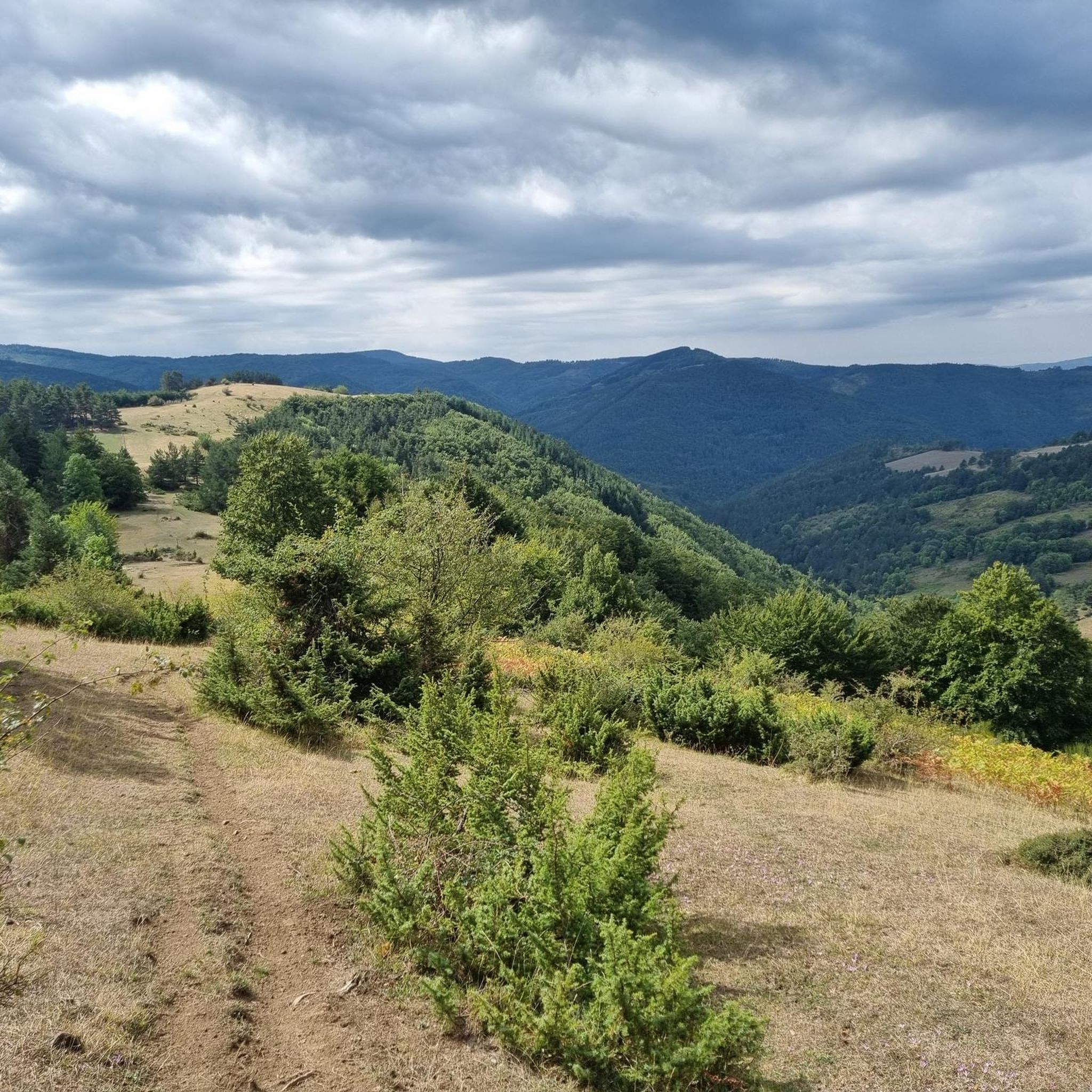
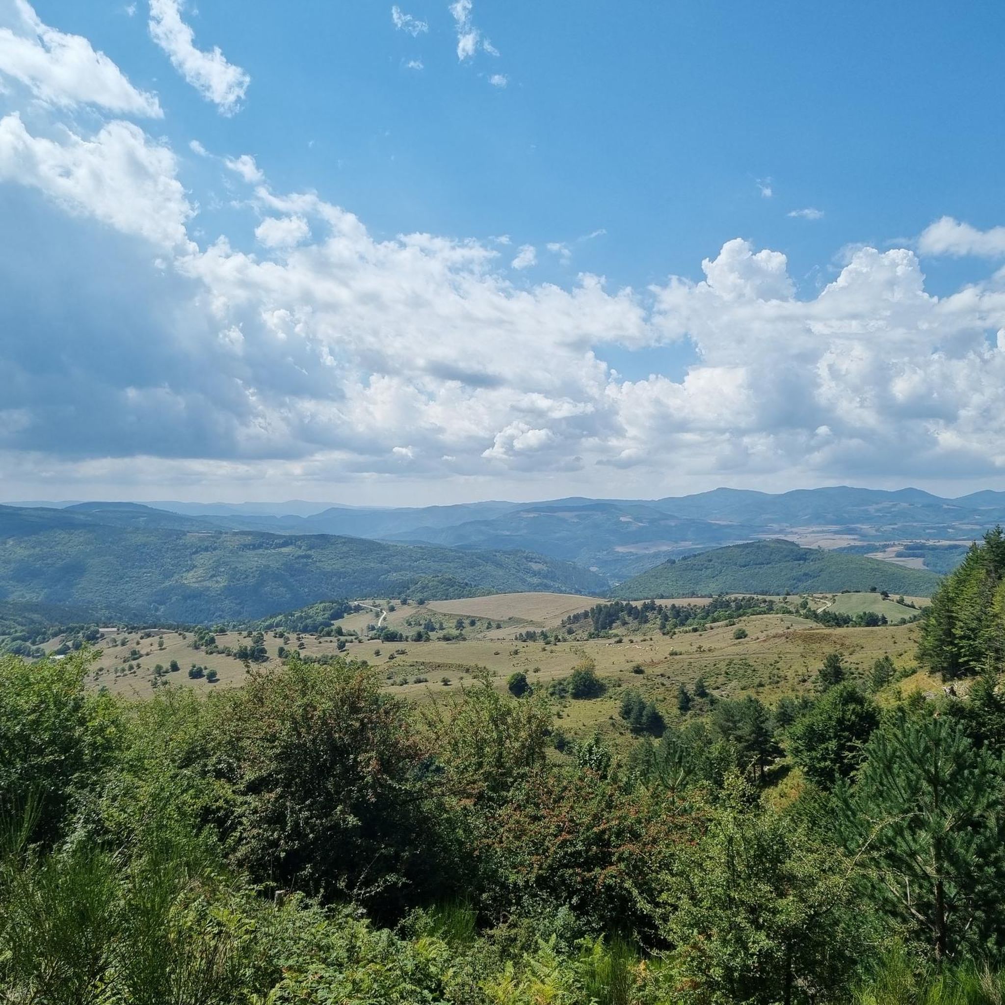
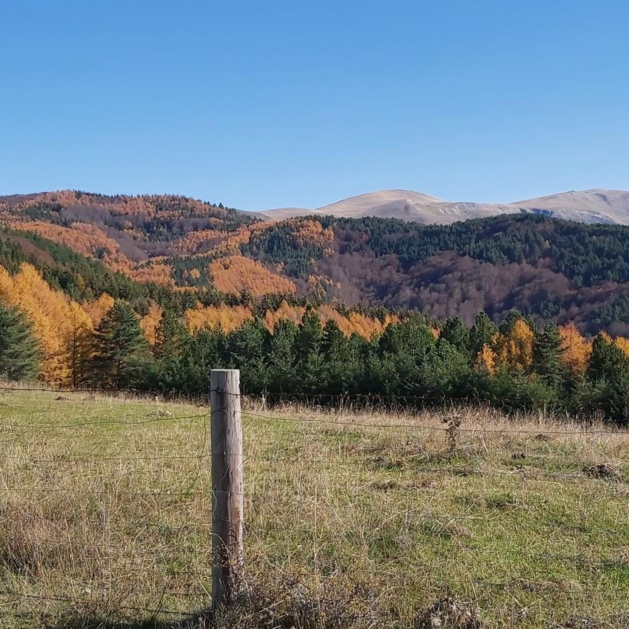
Hiking around Izalzu/Itzaltzu offers access to diverse natural landscapes within the Navarre region, characterized by extensive beech and fir forests, significant mountain passes, and elevated peaks. The area features varied terrain, from serene forest trails in the Irati Forest to challenging ascents leading to panoramic vistas. This region provides a range of elevations, including the highest point in the Basque Country, Pic d'Orhy, at 2,017 meters.
Best hiking trails around Izalzu/Itzaltzu
- The most popular hiking route is Gartxot's Trail,…
Last updated: October 13, 2026
4.6
(20)
203
hikers
11.5km
03:40
480m
480m
Moderate hike. Good fitness required. Easily-accessible paths. Suitable for all skill levels.
5.0
(2)
26
hikers
13.0km
05:25
940m
950m
Hard hike. Very good fitness required. Sure-footedness, sturdy shoes and alpine experience required.

4.7
(3)
33
hikers
5.21km
01:34
160m
160m
Easy hike. Great for any fitness level. Easily-accessible paths. Suitable for all skill levels.
4.0
(1)
48
hikers
9.00km
02:39
250m
250m
Moderate hike. Good fitness required. Easily-accessible paths. Suitable for all skill levels.
5.0
(1)
44
hikers
10.2km
04:24
670m
670m
Hard hike. Good fitness required. Sure-footedness, sturdy shoes and alpine experience required.
Get access to more routes and recommendations from other explorers.
Already have an account?
Our route recommendations are based on thousands of hikes, rides, and runs completed by other people on komoot.
Start today with a free account
Your next adventure awaits.
Tips from the Community

Rising to an elevation of 2,017 meters, Mount Orhy (Pic d'Orhi in French) holds a truly iconic status in Pyrenean geography. Traveling west to east from the Atlantic coast, it is the very first peak in the entire mountain range to surpass the 2,000-meter mark. The summit delivers staggering 360-degree views that extend from the Bay of Biscay on clear days all the way to the rugged, snow-capped high summits of the Central Pyrenees. A place steeped in Basque mythology as the realm of Mari (the goddess of nature), climbing Mount Orhy is a signature milestone for trekkers on the HRP or local summit routes.
1
0


This montana center is also a bar, restaurant, and possible to repair the bike. The VAE will be able to recharge the battery in the beautiful restaurant/bar room. Super nice welcome.
2
0

Worthwhile climb with a fantastic view from the summit.
1
0

At the exit/entrance of the tunnel that we find almost at the top of Puerto de Larrau, we have the most photographed horseshoe curve on the Spanish side of this port. The perspective of this curve with the Irati Forest behind it is beautiful.
0
0


The Pic d’Orhy is the highest point in the Basque Country at 2,017 meters above sea level. It offers an incredible panorama of the Bay of Biscay, the Pic d’Anie, Béarn and the first peaks of the Pyrenees. From Larrau, the ascent is along a sharp and arid ridge which remains accessible.
4
0
The peak of Orhy is the highest point of the Basque Country from the top of its 2017 meters of altitude. It offers you an incredible panorama of the Golf de Gascogne, the Pic d'Anie, the Béarn and the first summits of the Pyrenees. From Larrau, the ascent runs along a sharp and arid ridge which remains accessible.
1
0
Frequently Asked Questions
What types of hiking trails can I find around Izalzu/Itzaltzu?
Izalzu/Itzaltzu offers a diverse range of hiking trails, from serene forest paths within the extensive Irati Forest to challenging mountain ascents leading to panoramic views. You'll find routes suitable for various skill levels, including easy walks and more demanding climbs to high peaks.
Are there any easy hiking trails suitable for beginners or casual walkers?
Yes, there are several easy trails. For example, the Ochagavía loop from Ochagavía / Otsagabia is an easy 3.2-mile (5.2 km) trail that takes about 1 hour 35 minutes to complete, offering varied local scenery.
What are some of the more challenging hikes in the area?
For experienced hikers, the region offers challenging routes with significant elevation gain. A notable difficult trail is the Pic d'Orhy – Irati-Abodi Mountain Center loop from Ollokia, an 8.1-mile (13.0 km) path leading to the summit of Pic d'Orhy. Another challenging option is the Orhitxipia (1,925 m) – Pic d'Orhy loop from Pikatua.
What notable natural features or landmarks can I see while hiking?
The region is rich in natural beauty and significant landmarks. You can explore the vast Irati Forest, one of Europe's best-preserved beech and fir forests. Hikers can also reach Pic d'Orhy, the highest point in the Basque Country, offering panoramic views. Other notable features include mountain passes like Larrau Pass and Laza Pass (1,129 m).
Are there any circular hiking routes available?
Yes, many routes in the Izalzu/Itzaltzu area are designed as loops. For instance, the Gaztanbidea (1,460 m) – Abodi (1,531 m) loop from Pikatua is a moderate 9 km circular hike. The Ochagavía loop from Ochagavía / Otsagabia is another popular circular option.
Is the Irati Forest accessible for hikers, and what can I expect there?
The Irati Forest is highly accessible and a major highlight for hikers. It's one of Europe's largest and best-preserved beech and fir forests, offering countless trails for all skill levels. Within the forest, you'll find the Irati Houses, which provide amenities like a bar, restaurant, and bike shop, making it a charming base for exploration.
What is the best time of year to go hiking in Izalzu/Itzaltzu?
The region offers distinct experiences throughout the year. Spring and autumn are particularly popular due to pleasant temperatures and vibrant foliage, especially in the beech and fir forests. Summer is also suitable, though some higher altitude trails might be more exposed. Winter hiking is possible, especially on lower elevation trails, but requires appropriate gear and checking local conditions.
Are there any family-friendly hiking options?
While specific family-friendly routes are not detailed, the presence of numerous easy trails and the extensive, relatively flat areas within the Irati Forest suggest many suitable options for families. Look for shorter, less strenuous loops like the Ochagavía loop from Ochagavía / Otsagabia for a pleasant outing with children.
What do other hikers say about the trails in Izalzu/Itzaltzu?
The routes in Izalzu/Itzaltzu are highly regarded by the komoot community, holding an impressive average rating of 4.6 stars from over 290 reviews. Hikers frequently praise the stunning natural landscapes, the well-preserved forests, and the variety of trails catering to different abilities.
Is parking available near the trailheads in Izalzu/Itzaltzu?
While specific parking locations for every trailhead are not listed, Izalzu/Itzaltzu and nearby villages like Ochagavía typically offer parking facilities for visitors. It's advisable to check specific route descriptions for details on trailhead access and parking availability.
Are there any permits required for hiking in the Izalzu/Itzaltzu region?
Generally, no special permits are required for hiking on the established trails in the Izalzu/Itzaltzu region, including the Irati Forest. However, it's always good practice to respect local regulations, especially concerning protected areas or private land, and to check for any temporary restrictions before your hike.
Most popular attractions around Izalzu/Itzaltzu

Get inspired with the komoot mobile app


Explore more
Browse the best Hikes in other regions.
