The best walks and hikes around Güejar Sierra
4.5
(1000)
6,412
hikers
104
hikes
Hiking around Güejar Sierra offers access to diverse landscapes within Spain's Sierra Nevada National Park. The region is characterized by majestic mountain ranges, deep valleys, and the Genil River, providing a dramatic backdrop for outdoor activities. Hikers can explore areas with high-altitude lakes, varied vegetation ranging from lush meadows to dense forests, and interesting geological formations. These features contribute to the appeal of popular hiking trails Güejar Sierra, making it a prime location for exploring the natural environment.
Best hiking…
Last updated: October 7, 2026
4.7
(73)
305
hikers
12.6km
04:58
840m
840m
Moderate hike. Good fitness required. Mostly accessible paths. Sure-footedness required.
4.9
(45)
303
hikers
Hard hike. Very good fitness required. Mostly accessible paths. Sure-footedness required.

4.5
(15)
222
hikers
19.3km
08:25
1,160m
1,160m
Hard hike. Very good fitness required. Sure-footedness, sturdy shoes and alpine experience required.
4.5
(21)
107
hikers
15.0km
04:40
540m
540m
Moderate hike. Good fitness required. Easily-accessible paths. Suitable for all skill levels.
4.8
(22)
166
hikers
19.6km
06:34
690m
690m
Hard hike. Very good fitness required. Sure-footedness, sturdy shoes and alpine experience required.
Get access to more routes and recommendations from other explorers.
Already have an account?
Our route recommendations are based on thousands of hikes, rides, and runs completed by other people on komoot.
Start today with a free account
Your next adventure awaits.
Popular around Güejar Sierra
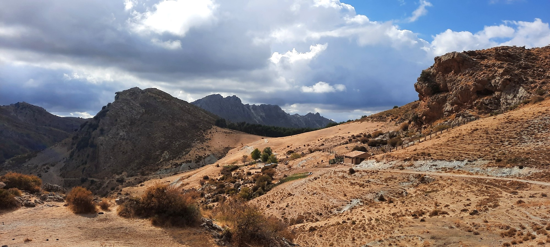
Sulayr Trail (GR 240) — 300 kilometers in the mountain of the sun
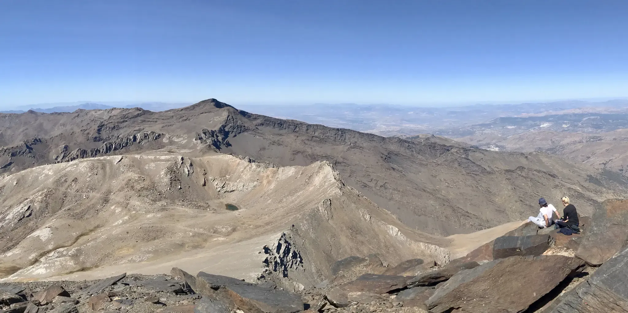
An unforgettable adventure – climb the Mulhacén’s north face in Spain

On the road to the sun — bikepacking to southeast Spain
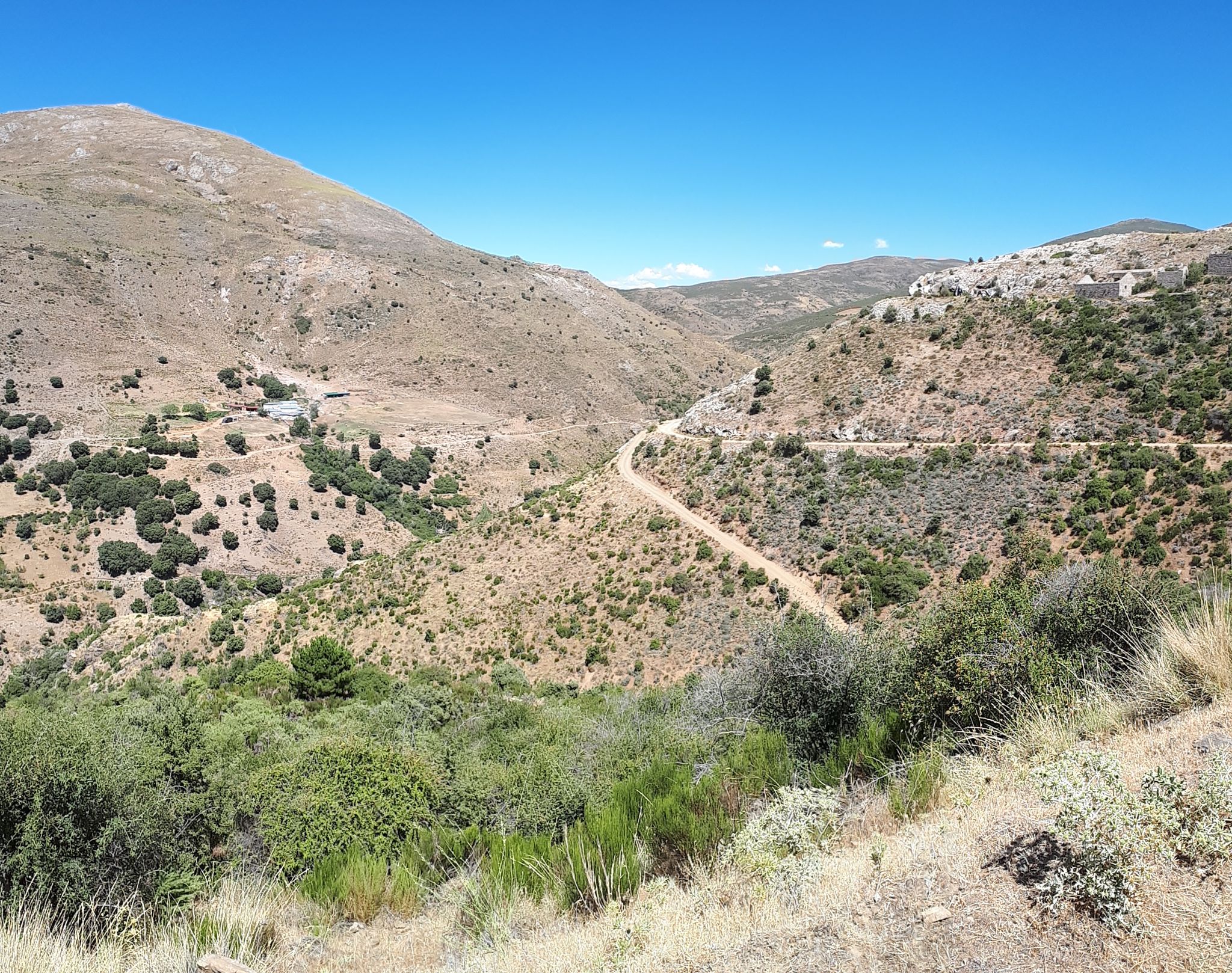
Nature and singletrack – bikepacking in Spain’s Sierra de Huétor
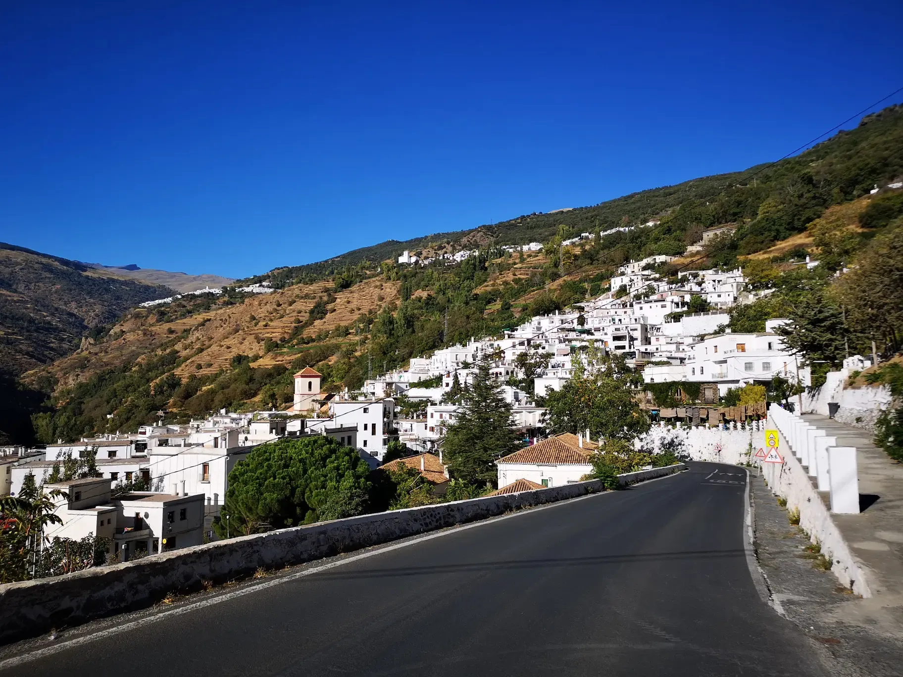
An Andalusian adventure on wheels – Transnevada
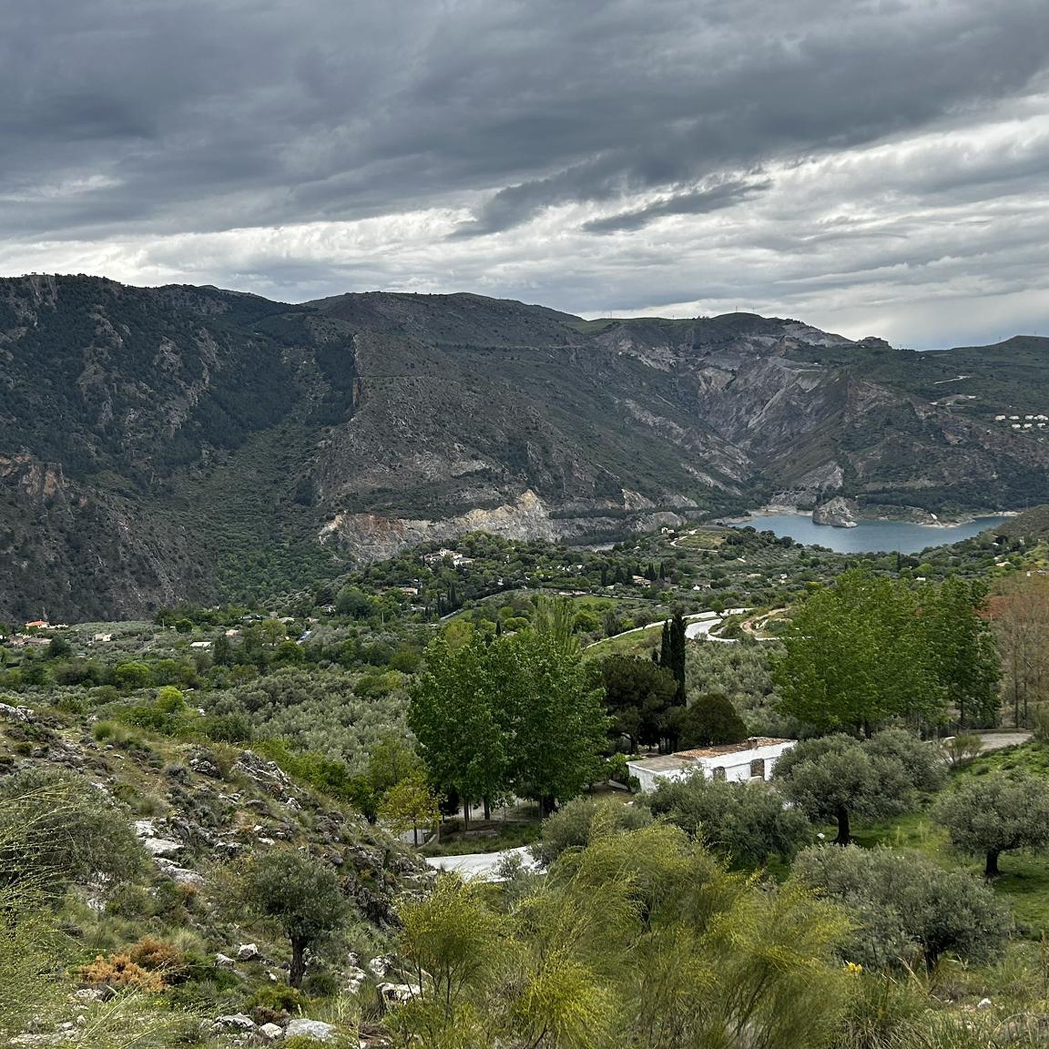
Cycling around Güejar Sierra
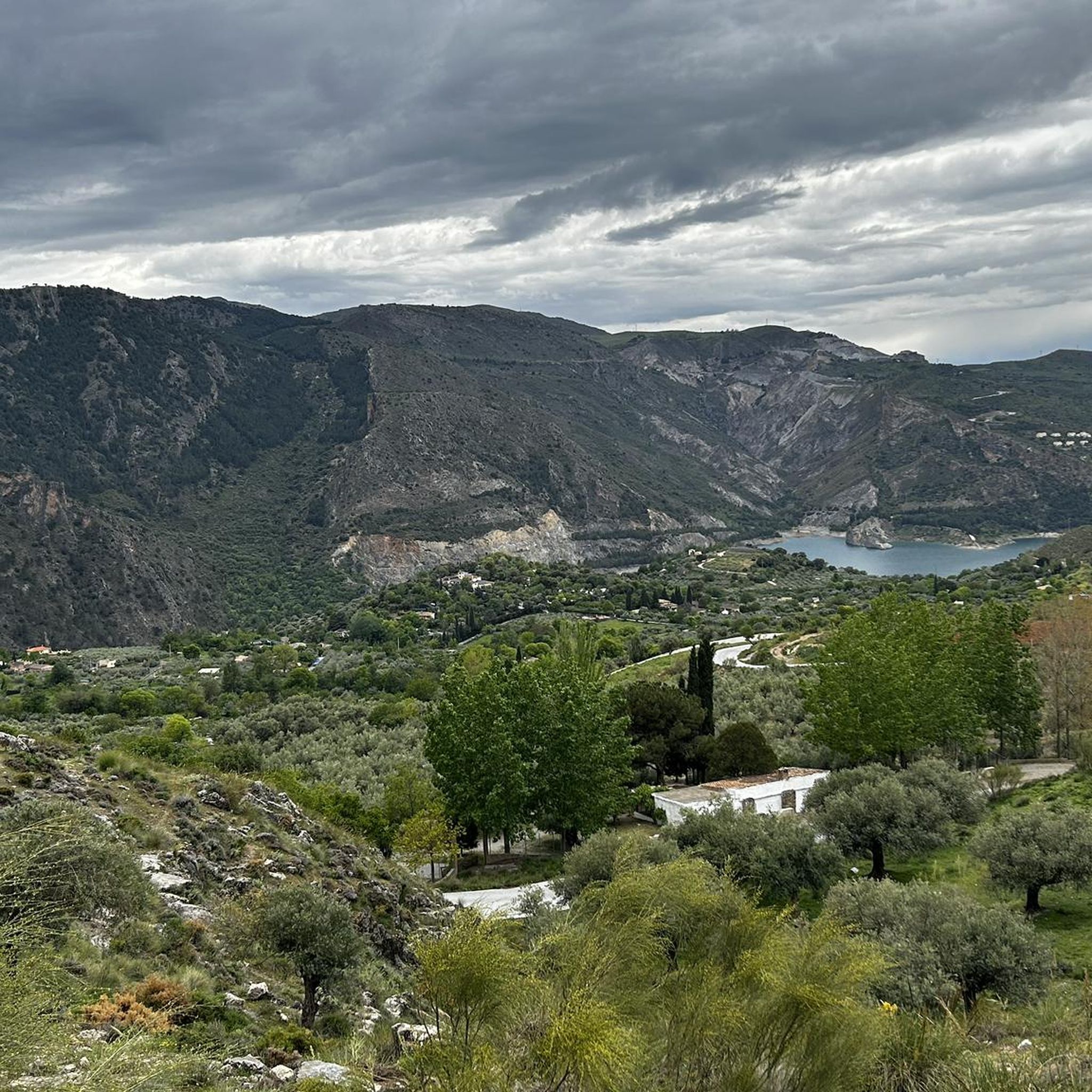
MTB Trails around Güejar Sierra
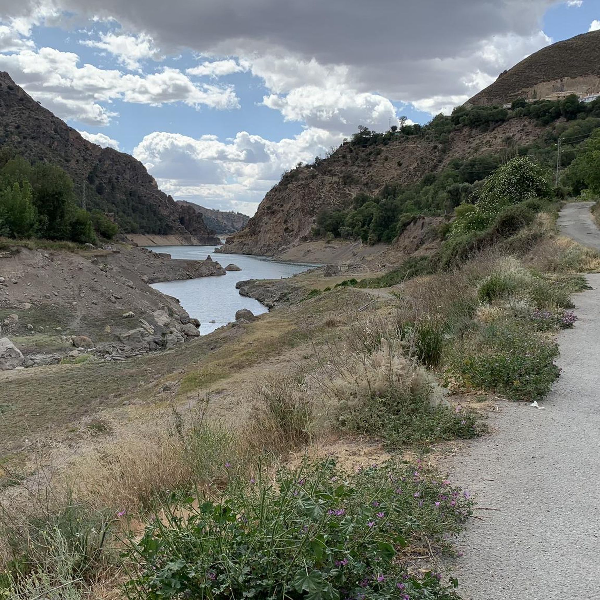
Running Trails around Güejar Sierra
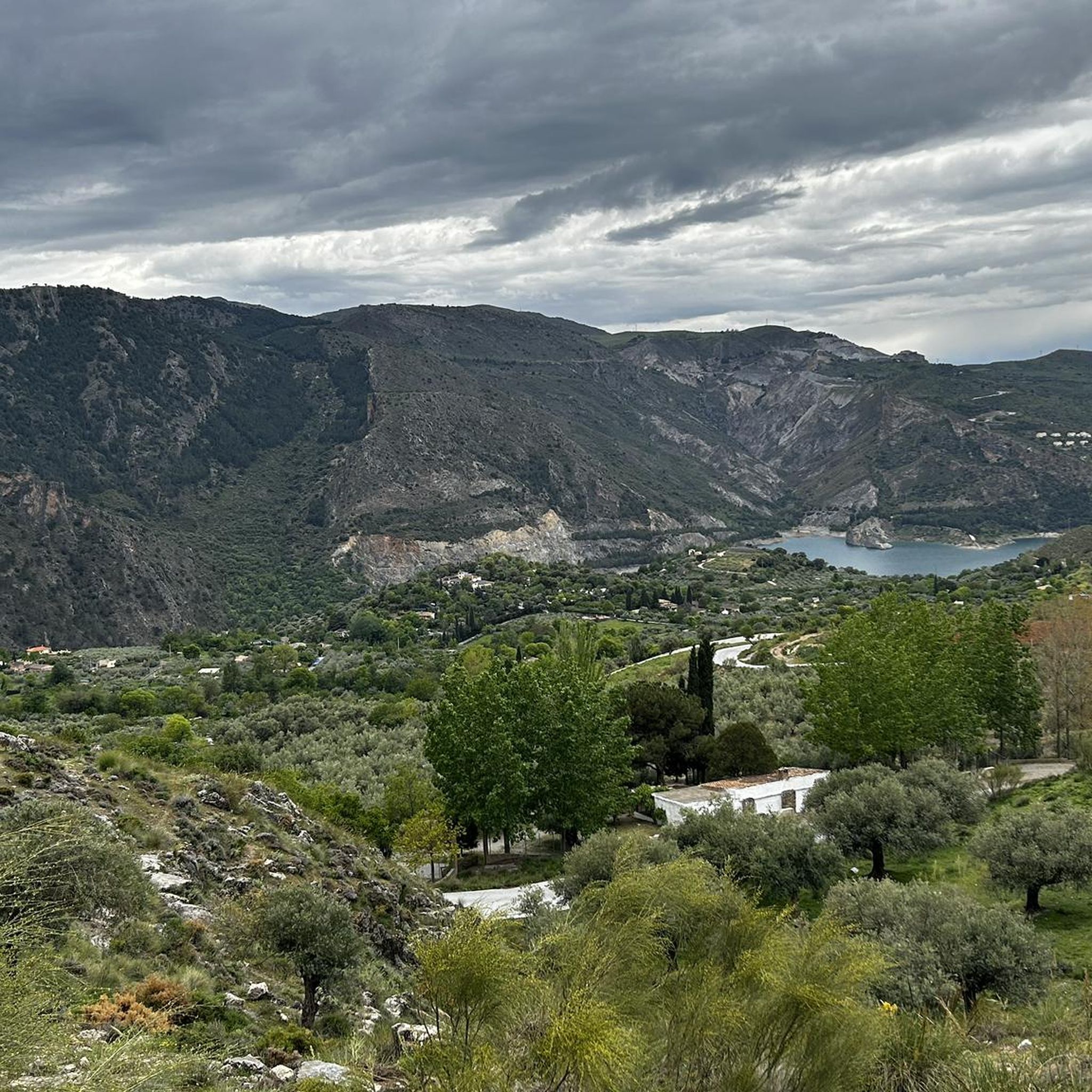
Road Cycling Routes around Güejar Sierra

Gravel biking around Güejar Sierra
Other adventures around Güejar Sierra


Tips from the Community

It is on the route from Prado llano to Veleta and it is a must-visit place for its wonderful views as well as its religious character. Peace, pure air and magnificent views of our Granada in the distance.
0
0

A cool but very tough route
0
0

A very beautiful, expansive hiking and biking area. Also suitable for multi-day hikes with overnight stays (tent, bikepacking, etc.). Awesome views in every direction. Plenty of free parking available. A must-see for anyone in the area.
1
1

If possible, do it at the beginning of May. I did it on June 1st and there is almost no snow left.
0
0

The situation of the free shelters in Sierra Nevada is pathetic. The Andalusian regional government is terrible. They don't spend a penny on maintaining what could provide shelter for many mountaineers. It's a shame.
3
0

A very quiet and simple path, suitable for going with children.
0
1

The guides' passage saves almost a kilometre and 60 metres of altitude by shortening a section of the trail. It is not difficult but is not suitable for people with vertigo.
0
0

Frequently Asked Questions
How many hiking trails are available in Güejar Sierra?
Güejar Sierra offers a wide variety of hiking experiences, with over 100 trails documented on komoot. These routes cater to different fitness levels, ranging from easy strolls to challenging mountain ascents within the Sierra Nevada National Park.
Are there any easy or family-friendly hiking options in Güejar Sierra?
Yes, Güejar Sierra has options suitable for families and those seeking easier walks. There are 16 easy routes and 44 moderate routes available. While specific family-friendly routes are not detailed in the guide, the region's diverse terrain includes paths through lush meadows and less strenuous sections of historic routes like the Old Sierra Nevada Tram Track, which offers scenic walks through tunnels and over bridges.
Can I find circular hiking routes around Güejar Sierra?
Yes, circular routes are a popular way to explore the area. For example, the Parque Nacional de Sierra Nevada – circular to Vereda de la Estrella via Cuesta de los Presidiarios is a challenging 22.2 km loop that provides stunning views of Mulhacén, Veleta, and Alcazaba. The Jarales Loop is another easy to moderate option offering sweeping views.
What kind of natural features or landmarks can I see while hiking in Güejar Sierra?
Hiking in Güejar Sierra offers access to a wealth of natural beauty. You can encounter majestic mountain peaks like Mulhacén Summit and enjoy panoramic views from Pico Veleta viewpoint. The region also features high-altitude lakes such as Hondera Lagoon and the Little Lakes of the Virgin, as well as reservoirs like Canales Reservoir. Deep valleys and gorges, including the Monachil River canyon (Los Cahorros Gorge) with its suspension bridges, are also prominent features.
Are there any trails with water features like gorges or lakes?
Absolutely. The region is characterized by the Genil River and features impressive gorges like the Tajo de las Palomas and Los Cahorros Gorge, known for its scenic routes and suspension bridges. You can also find high-altitude lakes such as Hondera Lagoon and the Little Lakes of the Virgin, which are often part of longer trails like the Hoya de la Mora - Lagunillos de la Virgen Trail.
Is Güejar Sierra suitable for dog-friendly hiking?
While specific dog-friendly regulations can vary within the Sierra Nevada National Park, many trails in Güejar Sierra are generally suitable for hiking with dogs, provided they are kept under control. It's always advisable to check local park rules or specific trail guidelines for any restrictions, especially in protected areas or during certain seasons.
What is the best time of year to go hiking in Güejar Sierra?
Güejar Sierra offers hiking opportunities year-round, but the best time depends on your preferred activity. Spring and autumn provide pleasant temperatures for most trails, with vibrant flora in spring and rich colors in autumn. Summer is ideal for high-altitude routes to escape the heat, while winter offers unique snowshoeing and winter hiking experiences, especially on trails like Lavaderos de la Reina Trail, known for its snowmelt streams.
Are there options for more challenging or difficult hikes?
Yes, Güejar Sierra is well-known for its challenging routes, with 46 difficult trails available. These include ascents to prominent peaks like Mulhacén, the highest in mainland Spain, via routes such as Sierra Nevada National Park – Mulhacén Peak from Posiciones del Veleta. The Vereda de la Estrella also offers rugged terrain and spectacular views for experienced hikers.
How can I access the trailheads in Güejar Sierra, particularly regarding public transport or parking?
Güejar Sierra is a popular starting point for many trails. While specific public transport options to all trailheads might be limited, the village itself is accessible. Many routes, such as the Campos de Otero Trail (PR-A 19), often have designated parking areas near their starting points, especially those within the Sierra Nevada National Park. It's recommended to check specific trailhead information for parking availability.
What do other hikers say about their experience in Güejar Sierra?
The hiking trails in Güejar Sierra are highly regarded by the komoot community, with an average rating of 4.5 stars from over 1000 reviews. Hikers frequently praise the region's diverse terrain, from prominent mountain peaks to deep river valleys, and the stunning panoramic views of the Sierra Nevada. The variety of routes, catering to different ability levels, is also a common highlight.
Are there any historical routes or unique paths to explore?
Yes, Güejar Sierra offers routes with historical significance. The Vereda de la Estrella, for instance, was originally an access path to the Estrella copper mine. Another unique path is the Old Sierra Nevada Tram Track, which has been converted into a scenic walking route, allowing hikers to pass through old tunnels and over bridges that were once part of the tram line.
What should I consider for winter hiking in Güejar Sierra?
Winter hiking in Güejar Sierra, especially at higher altitudes, can involve snow and ice. Trails like Lavaderos de la Reina Trail are known for snowmelt streams. Proper winter gear, including waterproof clothing, sturdy boots, and potentially snowshoes or crampons, is essential. Always check weather forecasts and trail conditions before heading out, as some higher routes may be inaccessible or require specialized equipment.
Are there any trails that offer panoramic views of the Sierra Nevada peaks?
Many trails in Güejar Sierra provide spectacular panoramic views. Routes like the Vereda de la Estrella offer views of the rugged north faces of Mulhacén, Veleta, and Alcazaba. The ascent to Cerro el Calar also rewards hikers with expansive vistas of the high Sierra Nevada peaks, the Canales reservoir, and the Sierra de Huétor.
Most popular routes around Güejar Sierra
Most popular attractions around Güejar Sierra

Get inspired with the komoot mobile app


Explore more
Browse the best Hikes in other regions.
