The best mountain hikes around Alt Àneu
4.5
(4)
42
hikers
4
hikes
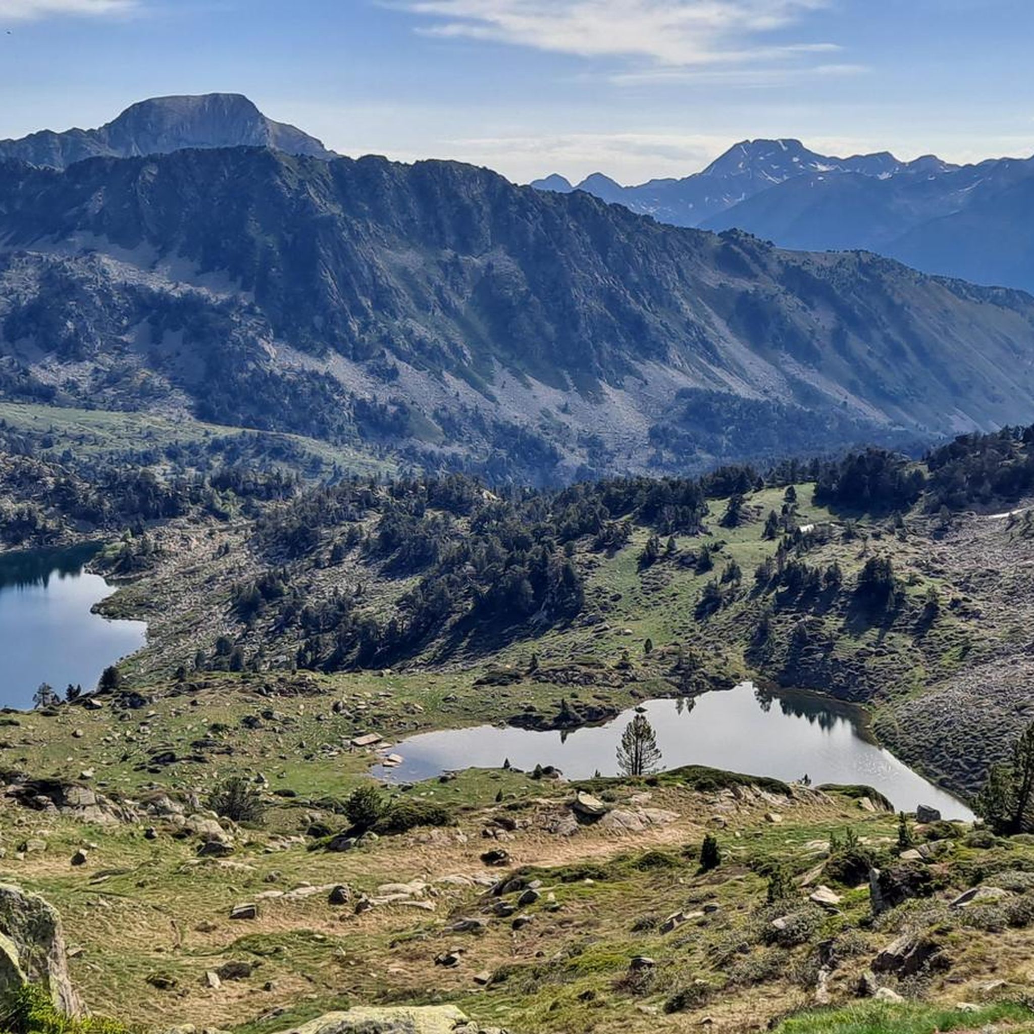
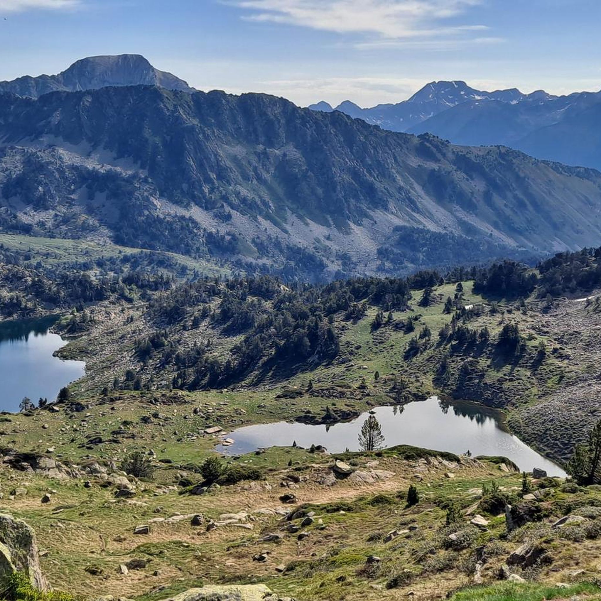
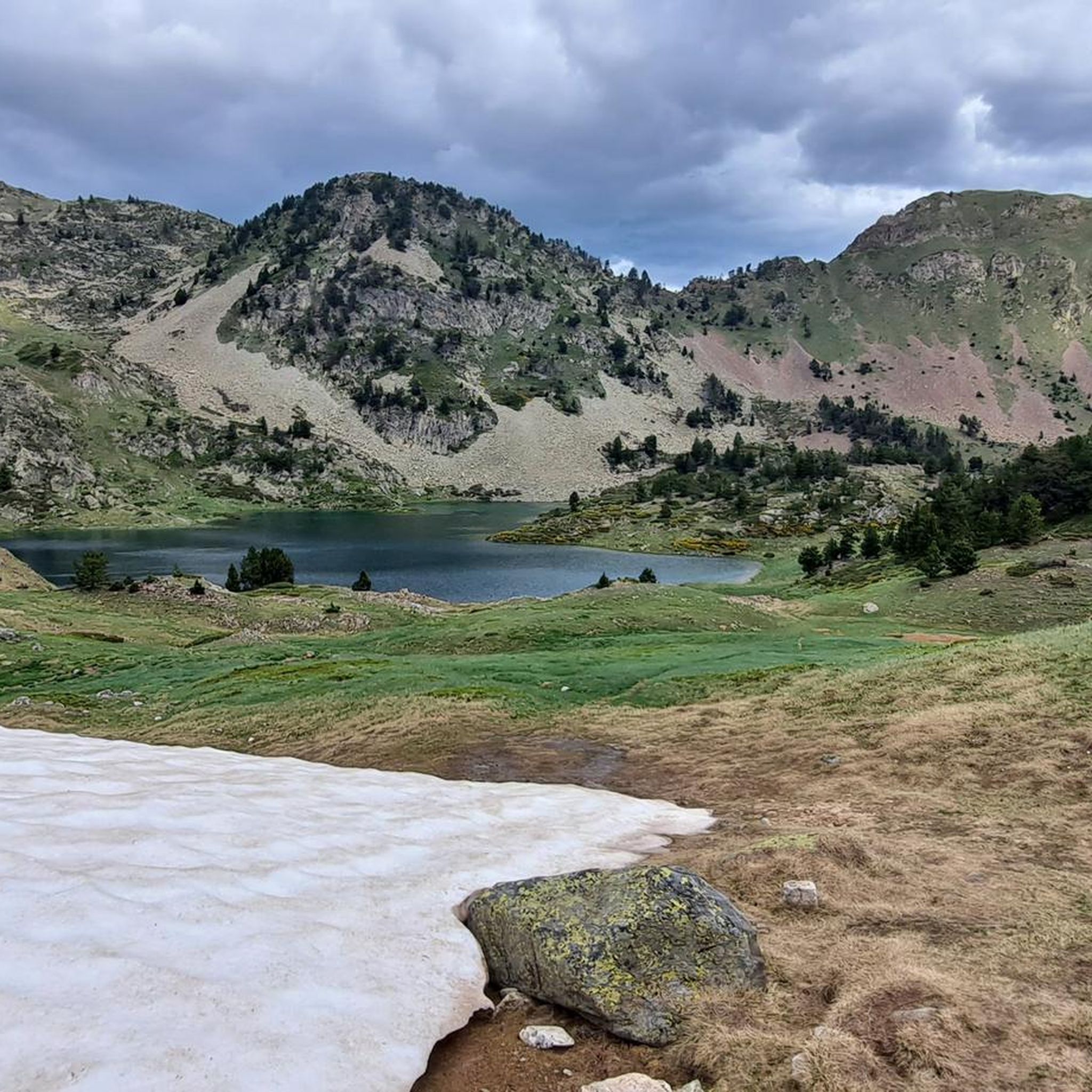
Mountaineering around Alt Àneu offers challenging routes through the high Pyrenees, characterized by rugged peaks, alpine lakes, and deep valleys. The region features significant elevation changes, with trails often traversing rocky terrain and offering expansive mountain vistas. This area is known for its demanding, long-distance routes that explore remote and wild landscapes.
Best mountaineering routes around Alt Àneu
- The most popular mountaineering route is Canal de Tuqueta de Saboredo loop from Port de la Bonaigua, an 8.8 miles (14.2…
Last updated: October 7, 2026
4.5
(2)
17
hikers
14.0km
06:25
840m
840m
Hard mountaineering route. Very good fitness required. Sure-footedness, sturdy shoes and alpine experience required.
4.0
(1)
11
hikers
16.1km
05:42
570m
570m
Hard mountaineering route. Very good fitness required. Mostly accessible paths. Sure-footedness required.

10
hikers
18.7km
10:42
1,830m
1,830m
Hard mountaineering route. Very good fitness required. Sure-footedness, sturdy shoes and alpine experience required.
7
hikers
Moderate mountaineering route. Good fitness required. Mostly accessible paths. Sure-footedness required.
5.0
(1)
2
hikers
12.4km
05:38
640m
640m
Hard mountaineering route. Very good fitness required. Sure-footedness, sturdy shoes and alpine experience required.
Our route recommendations are based on thousands of hikes, rides, and runs completed by other people on komoot.
Start today with a free account
Your next adventure awaits.
Popular around Alt Àneu
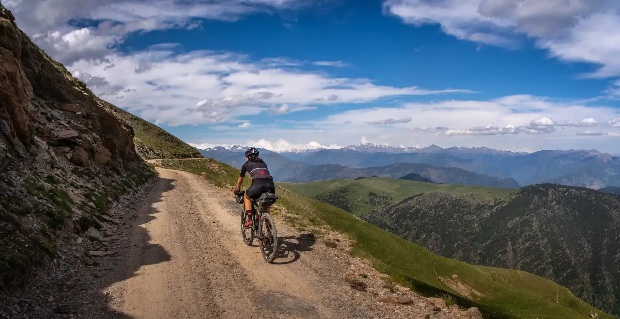
Pedals de Foc – An adventure through the Catalan Pyrenees

Haute Route Pyrénéenne – Pyrenees Crossing
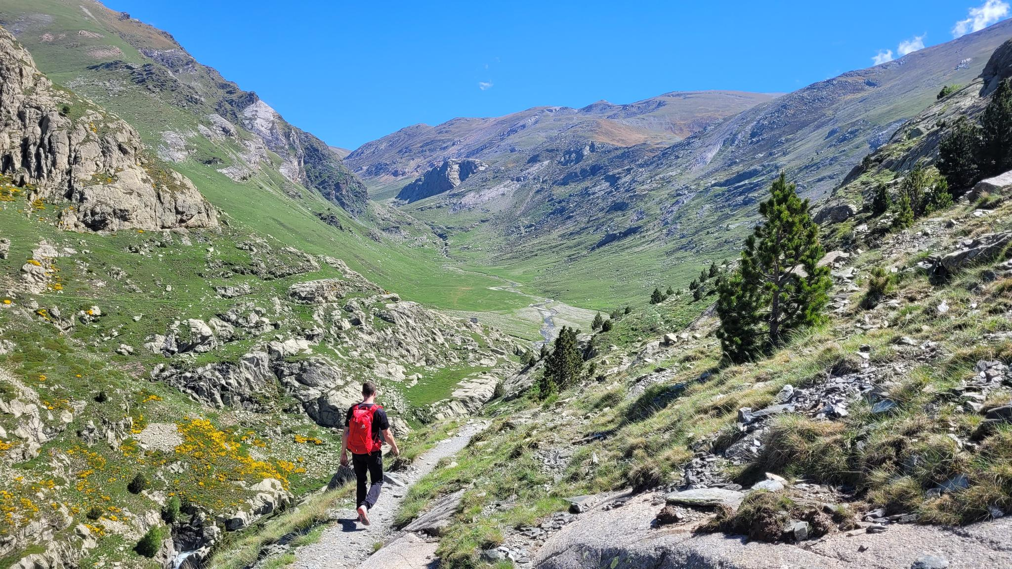
10 hikes with teenagers — Catalan paradises
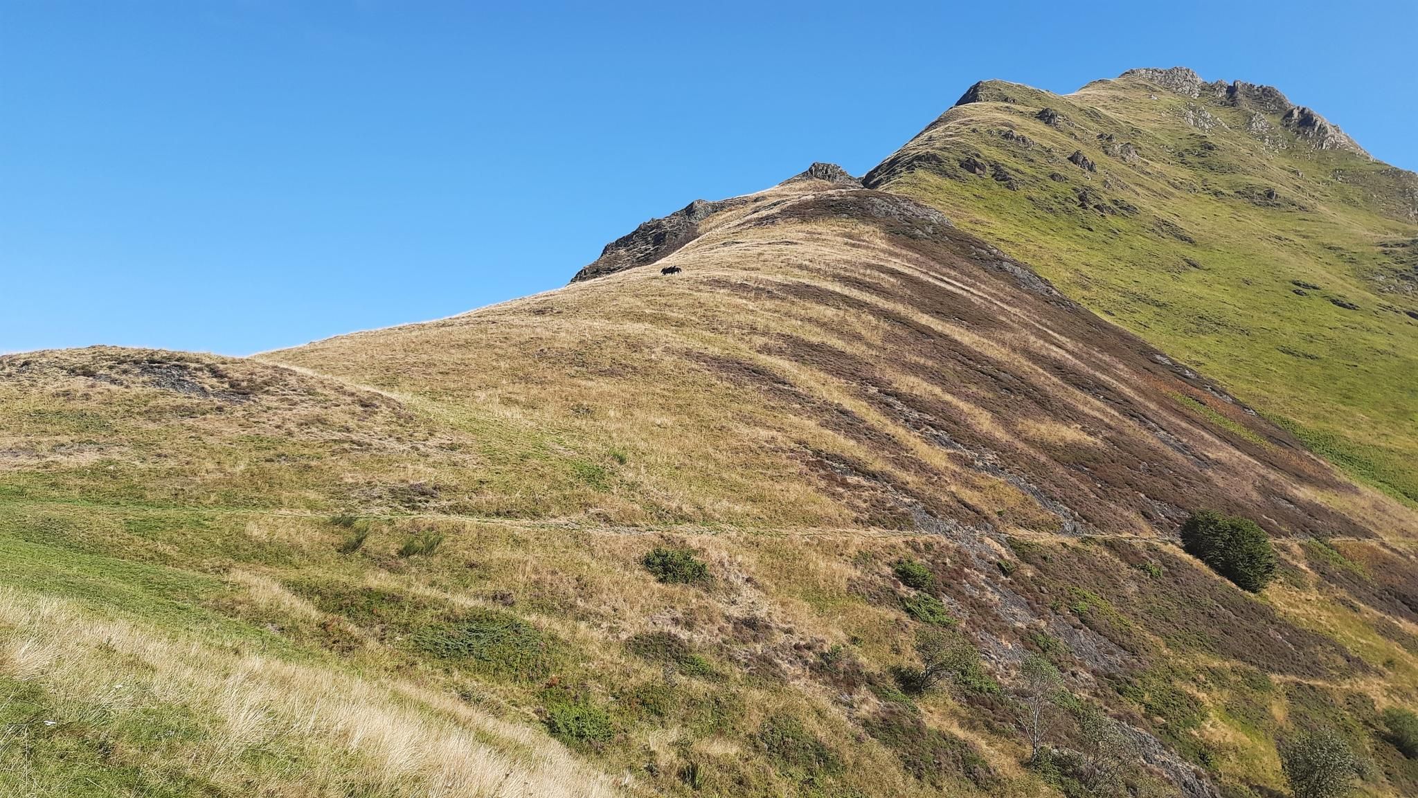
Tour of Mont Valier - The Giant of Ariège

On wild ridges: Catalonia to Ariège – Hexatrek, Eastern Pyrenees
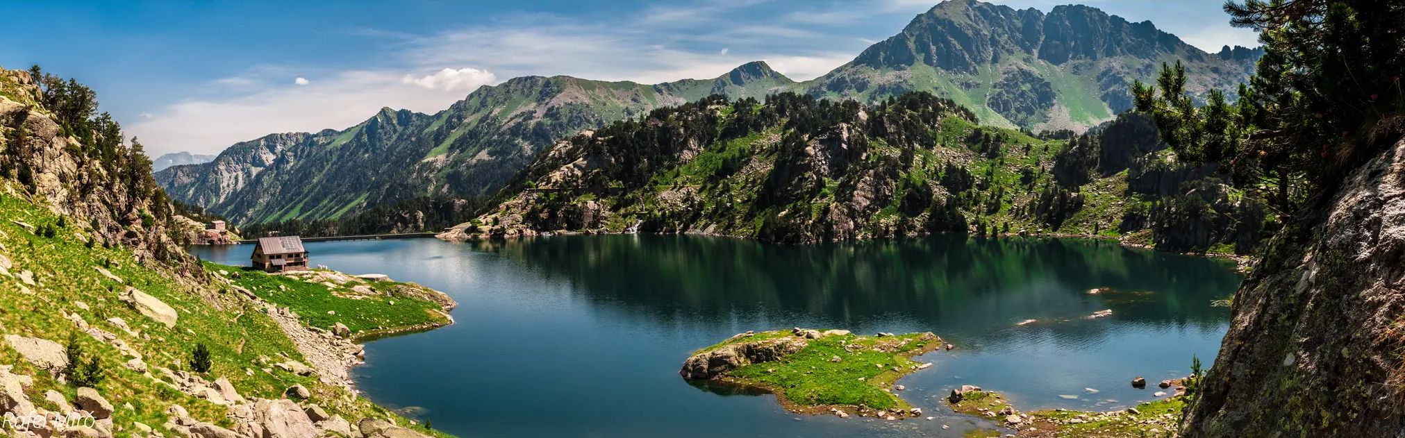
Aigüestortes lakes and mountain huts – Carros de Foc Plus
Hiking around Alt Àneu
MTB Trails around Alt Àneu
Running Trails around Alt Àneu
Road Cycling Routes around Alt Àneu
Other adventures around Alt Àneu


Tips from the Community

This refuge is named after the Restanca lake, next to which it is located. It is located at an altitude of 2010 metres in the Alto Arán. It has capacity for 80 guests, divided into six rooms. It also has hot water showers, food service and a bar.
1
0

Lake Obago is a lake of glacial origin located at 2,236 m in the municipality of Alto Arán, in the Valle de Arán region. Lake Obago is one of the largest lakes in the Cirque de Colomers, a glacial cirque of more than 50 lakes crowned by peaks that exceed 2,500 meters, such as the Tuc de Ratera (2,861 m) or the Gran Tuc de Colomers (2,933 meters).
0
0
Lake Mayor de Colomers is a lake of glacial origin located at 2128 m in the municipality of Alto Arán, in the Valle de Arán region. Lake Mayor de Colomers is one of the largest lakes in the Cirque de Colomers, a glacial cirque of more than 50 lakes crowned by peaks that exceed 2,500 meters, such as the Tuc de Ratera (2,861 m) or the Gran Tuc de Colomers (2,933 meters). ). The Colomers refuge is located near the lake.
0
0

Gerber Lake is the largest lake in the valley, enclosed by spectacular rock walls. If we want to enjoy a good view of the lake we must ascend a little along the path that goes up on its left side.
0
0
The Mataró refuge, Gerber refuge or Gerber metallic refuge, is located next to La Isla lake, in the Gerber valley, at 2,460 meters of altitude. From the refuge we have magnificent views over the Gerber valley, the lakes we passed on the way up (Estanyola de Gerber, Estany Gerber, Estany Llong, Estany L´Illa) and the peaks that surround us Pic de Saboredo, Pic d´ Medias or Pico de Bassiero).
0
0


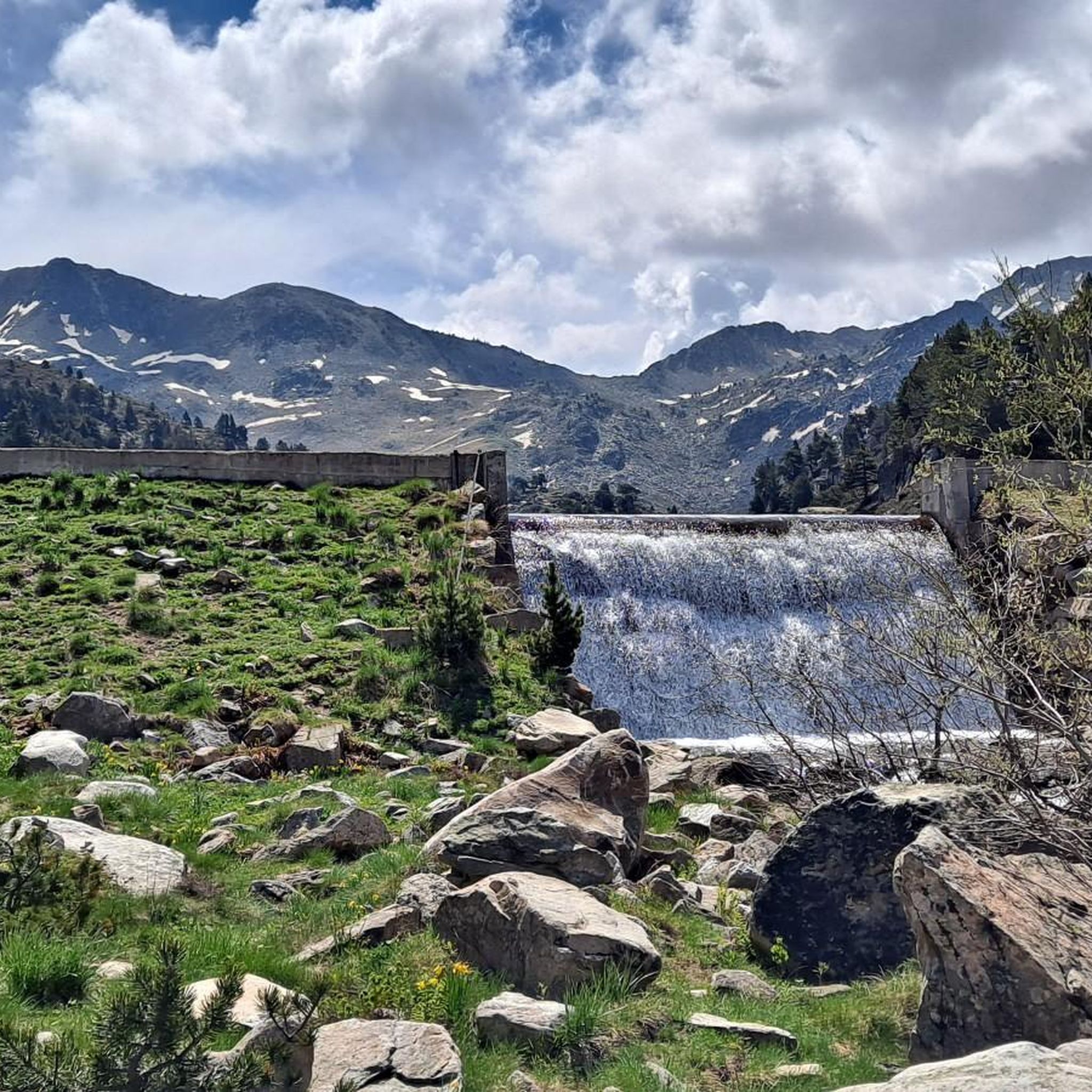
The Nerech waterfall is one of the most powerful in the Pyrenees. It flows into the heart of Couserans (vast territory combining high mountains, mountains and foothills, and covered areas). It is home to rich biodiversity. Among the species most observed here, there is a very wide variety of wild orchids.
2
0

The lake of Còth de Baish can be seen from the pass of the same name, at an altitude of 2,190 metres. From the pass it is possible to descend to the lake to admire it up close.
0
0
Frequently Asked Questions
How many mountaineering routes are available in Alt Àneu?
There are 8 mountaineering routes around Alt Àneu listed on komoot, offering a range of challenging experiences through the high Pyrenees.
What kind of mountaineering routes can I expect in Alt Àneu?
Mountaineering in Alt Àneu is characterized by significant elevation changes, rugged peaks, and alpine lakes. Most routes are difficult, with 6 out of 8 routes falling into this category, and 2 moderate options. You'll find trails traversing rocky terrain and offering expansive mountain vistas.
Are there any easy mountaineering routes in Alt Àneu suitable for beginners?
The mountaineering routes in Alt Àneu are generally demanding, with no routes classified as easy. However, there are 2 moderate routes available, such as the Long Lake of Colomèrs – Lake Major of Colomers loop from Arriu dera Montanheta, which might be more accessible for those with some experience.
Where can I find more challenging mountaineering trails in Alt Àneu?
For a truly challenging experience, consider routes like the Étang Rond – Nérech waterfall loop from Bordes-Uchentein, which features significant elevation gain over 17.9 km. Another difficult option is the Canal de Tuqueta de Saboredo loop from Port de la Bonaigua, known for its panoramic high mountain views.
Are there circular mountaineering routes in Alt Àneu?
Yes, many of the mountaineering routes in Alt Àneu are designed as loops. Examples include the popular Long Lake of Colomèrs – Lake Major of Colomers loop from Plan des Banhs and the View of Refugi J.M. Blanc – Refugi Josep Maria Blanc loop from Espot.
What is the best season for mountaineering in Alt Àneu?
The best season for mountaineering in the high Pyrenees around Alt Àneu is typically from late spring to early autumn (June to September). During these months, snow has usually melted from higher elevations, and weather conditions are generally more stable, making routes safer and more accessible.
Are there mountaineering routes that feature waterfalls in Alt Àneu?
Yes, you can find routes that pass by impressive waterfalls. The Étang Rond – Nérech waterfall loop from Bordes-Uchentein is a notable example, leading past the Ratera Waterfall.
What are some interesting landmarks or viewpoints along the mountaineering routes?
The region is rich in natural beauty. Many routes offer views of glacial lakes, such as Lake Sant Maurici, Ratera Lake, and Lake Major of Colomers. You might also encounter mountain refuges like the Josep Maria Blanc Refuge.
What do other mountaineers enjoy most about the routes in Alt Àneu?
The routes in Alt Àneu are highly rated by the komoot community, with an average score of 4.6 stars from more than 6 reviews. Mountaineers often praise the challenging nature of the trails, the stunning high alpine scenery, and the remote, wild landscapes that define the region.
What equipment is recommended for mountaineering in Alt Àneu?
Given the challenging nature of the routes, significant elevation changes, and rocky terrain, it's essential to be well-prepared. Recommended equipment includes sturdy mountaineering boots, appropriate layers for varying weather conditions, navigation tools, sufficient water and food, and potentially trekking poles. Always check the weather forecast before heading out.
Are there less crowded mountaineering trails in Alt Àneu?
While Alt Àneu offers popular routes, its high mountain character means many trails lead into remote areas. To find less crowded experiences, consider exploring routes that venture deeper into the valleys and away from the most well-known starting points, especially during off-peak times.
Most popular routes around Alt Àneu
Most popular attractions around Alt Àneu

Get inspired with the komoot mobile app


Explore more
Browse the best Mountain Hikes & Routes in other regions.
