The best walks and hikes around Aiguamúrcia
4.6
(306)
1,934
hikers
171
hikes
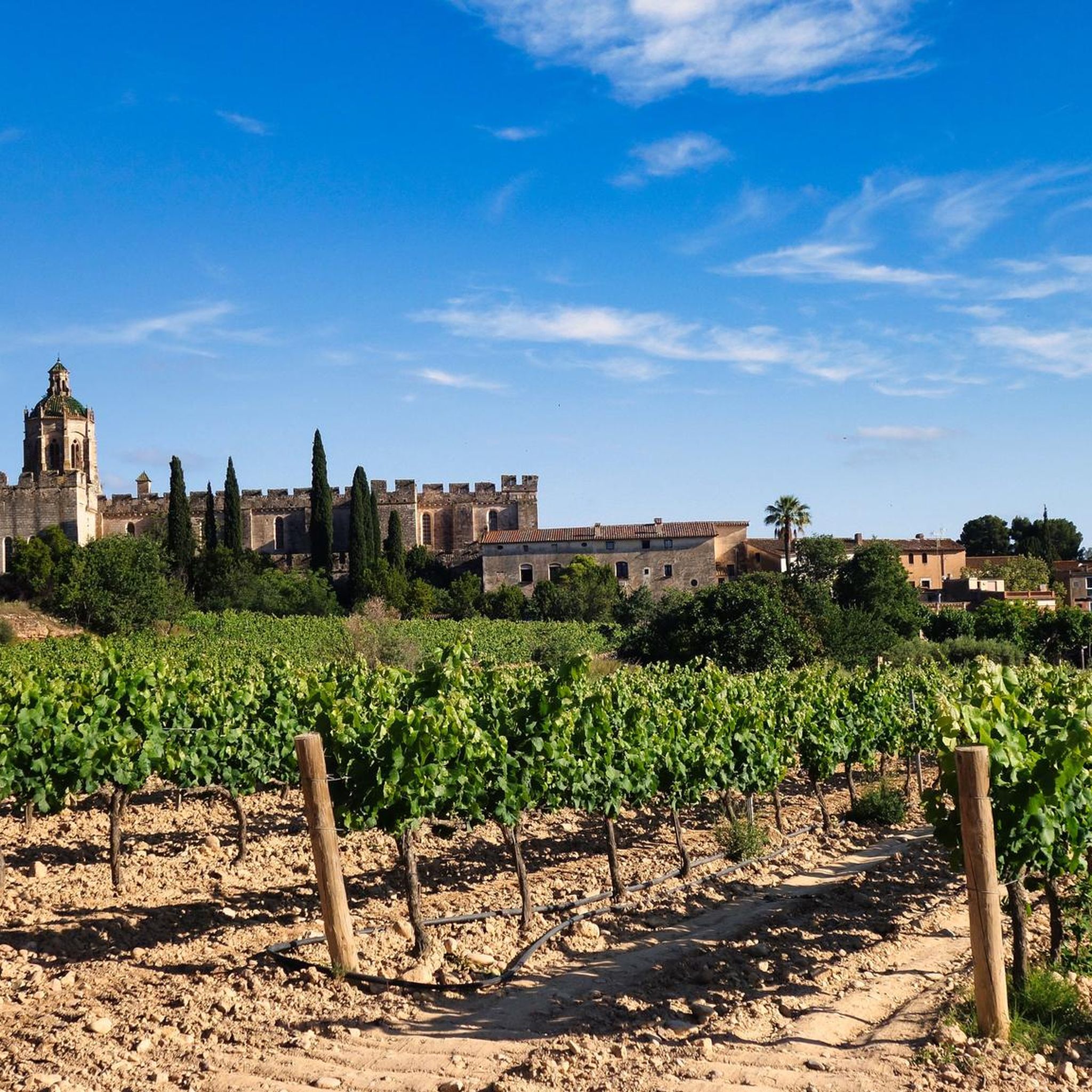
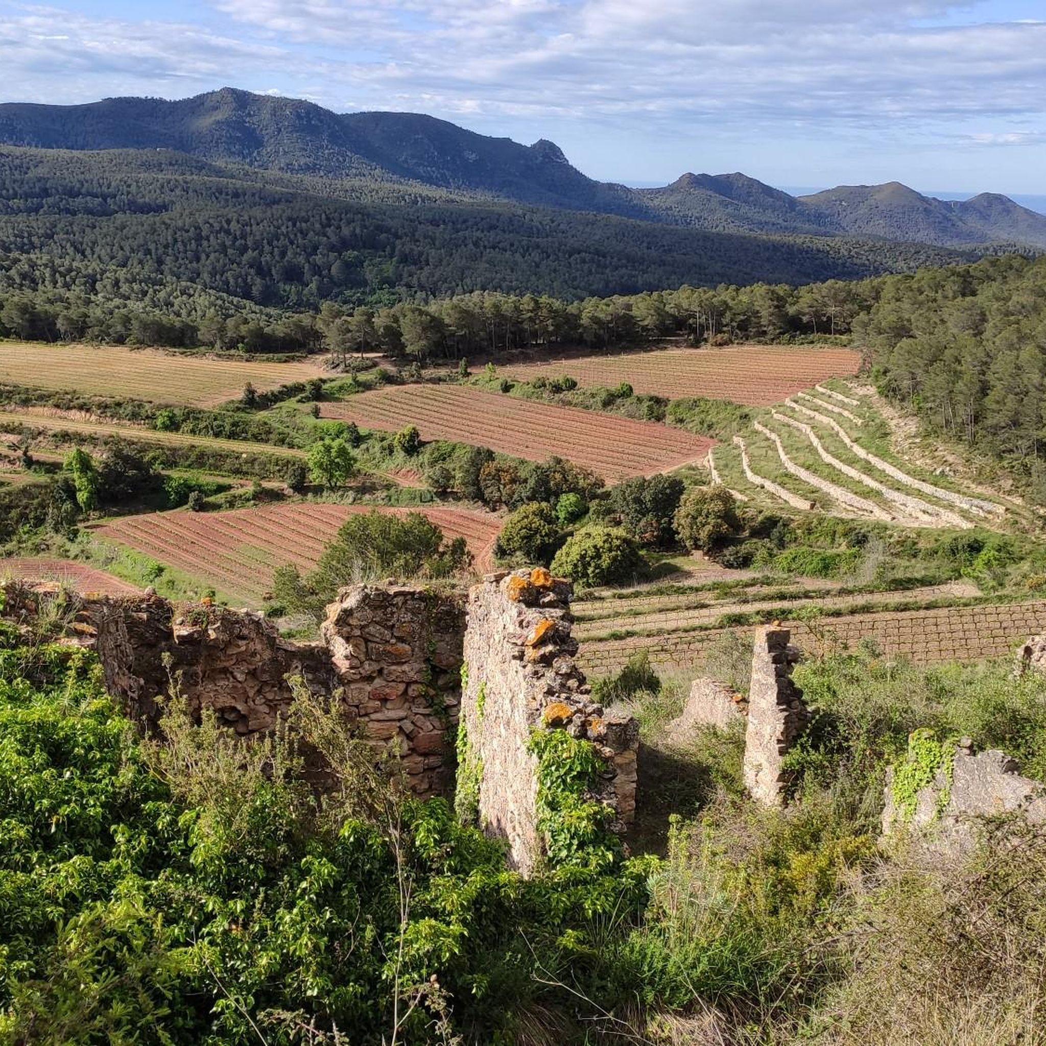
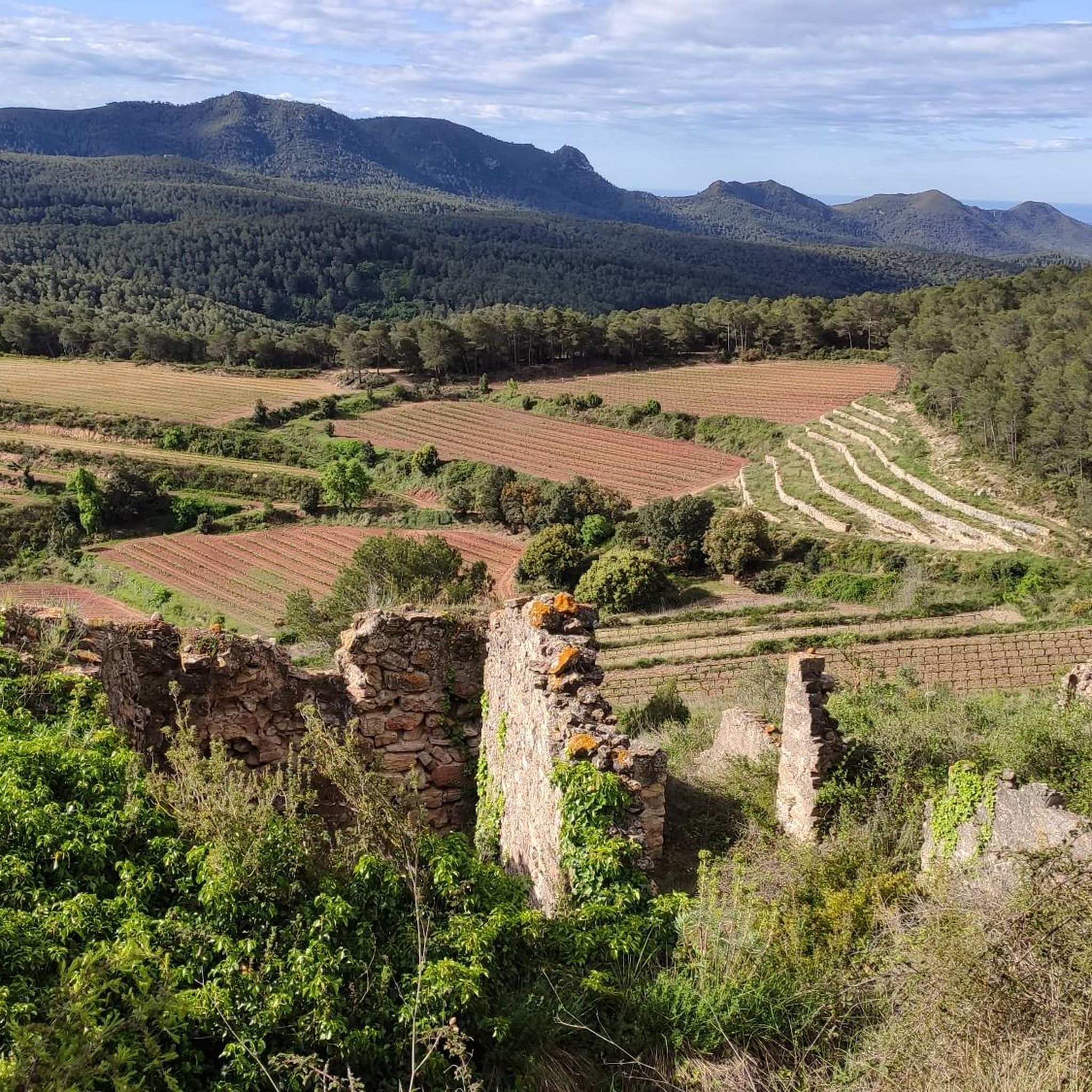
Hiking around Aiguamúrcia offers diverse landscapes, situated between the Montagut and Montmell mountain ranges. The region features valleys carved by the Gaià river and the Manlleu stream, characterized by extensive vineyards and forests. Protected natural areas contribute to the varied terrain, providing a range of natural features for outdoor exploration.
Best hiking trails around Aiguamúrcia
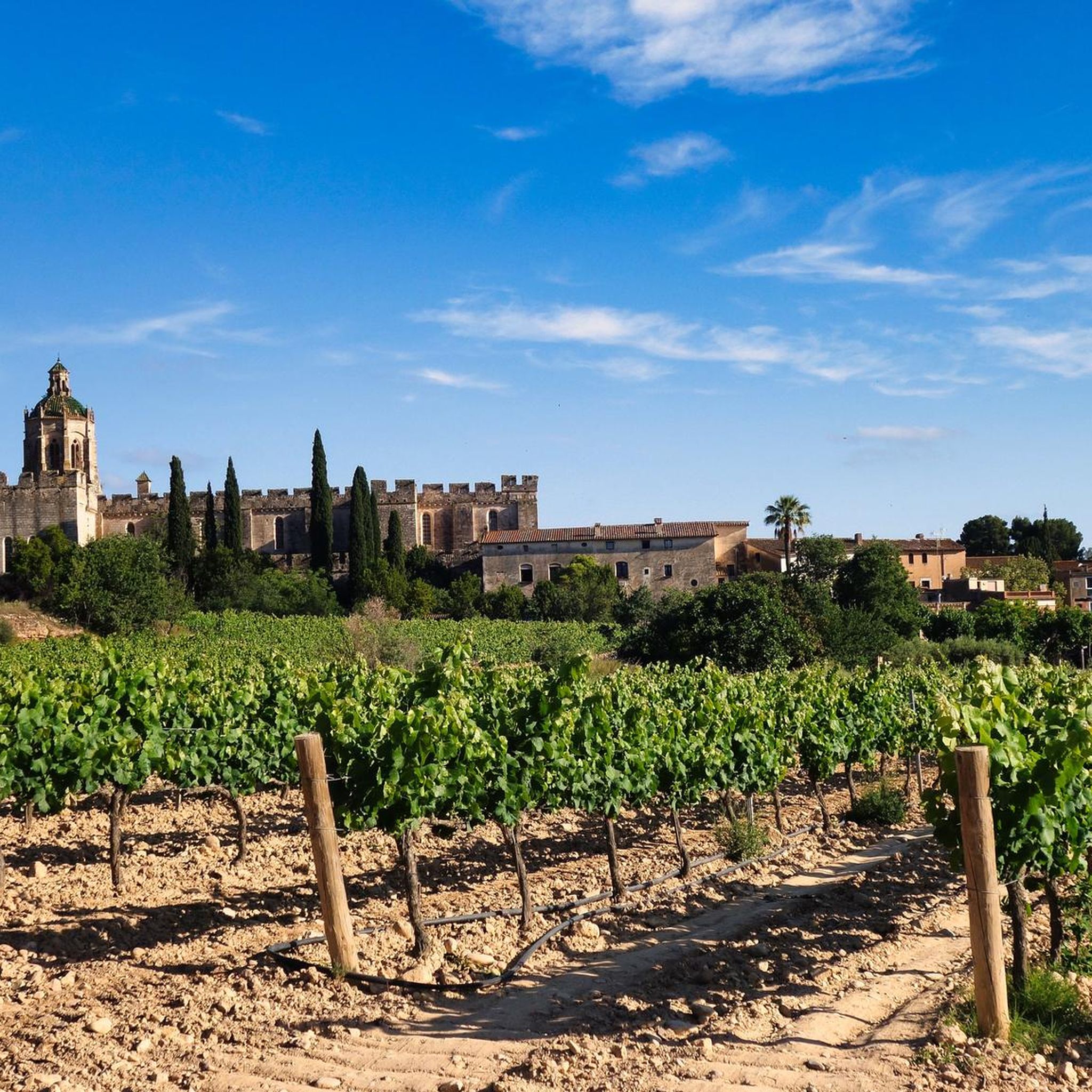
- The most popular hiking route is Cistercian Route: Santes Creus Circular, a 5.7 miles (9.1 km) trail that takes 2 hours 28 minutes to complete, passing by the historic Royal Monastery of Santes Creus.
- Another top favourite among local hikers is El Pont d'Armentera loop from el Pont d'Armentera, an easy 3.8 miles (6.1 km) path that offers scenic views along the Gaià river.
- Local hikers also love the Sant Bernat Square – El Pont d'Armentera loop from Monestir de Santes Creus, a 6.1 miles (9.7 km) trail leading through vineyards and forests, often completed in about 2 hours 37 minutes.
- Hiking around Aiguamúrcia is defined by mountain ranges, river valleys, and extensive vineyards. The network offers options for easy, moderate, and challenging routes suitable for different ability levels.
- The routes in Aiguamúrcia are highly rated by the komoot community with an average score of 4.6 stars from over 280 reviews. More than 1800 hikers have used komoot to explore Aiguamúrcia's varied terrain.
Last updated: July 7, 2026
4.5
(10)
24
hikers
9.12km
02:28
120m
120m
Moderate hike. Good fitness required. Easily-accessible paths. Suitable for all skill levels.
4.8
(9)
76
hikers
6.09km
01:39
90m
90m
Easy hike. Great for any fitness level. Easily-accessible paths. Suitable for all skill levels.

Sign up for free
5.0
(1)
11
hikers
Moderate hike. Good fitness required. Easily-accessible paths. Suitable for all skill levels.
5.0
(2)
12
hikers
Moderate hike. Good fitness required. Easily-accessible paths. Suitable for all skill levels.
7
hikers
8.80km
02:23
110m
110m
Moderate hike. Good fitness required. Easily-accessible paths. Suitable for all skill levels.
Get access to more routes and recommendations from other explorers.
Sign up for free
Already have an account?
Our route recommendations are based on thousands of hikes, rides, and runs completed by other people on komoot.
Start today with a free account
Your next adventure awaits.
Login or Signup
Popular around Aiguamúrcia



Tips from the Community

It's worth it, it's a Cistercian monastery
0
0


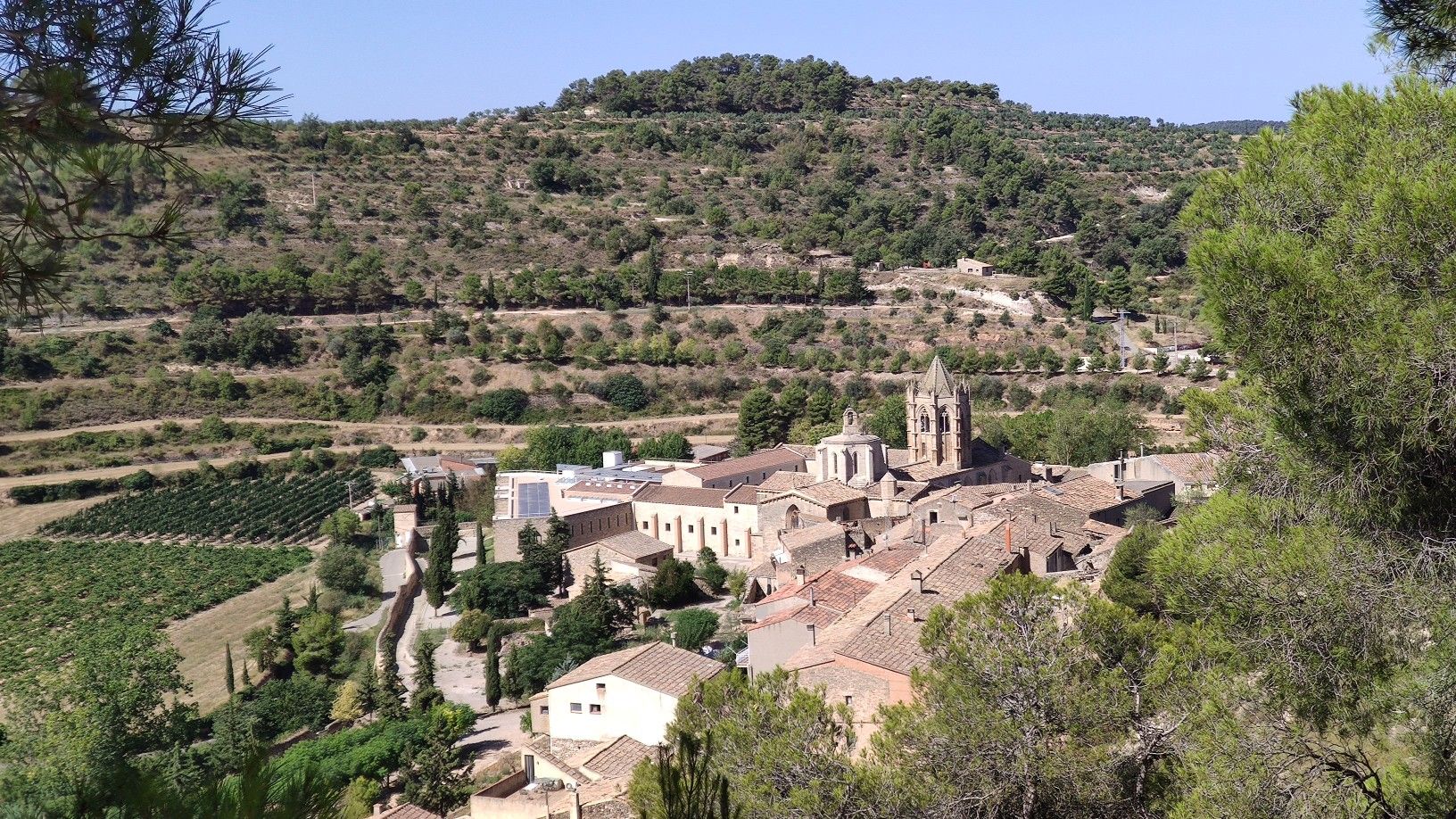
The Monastery of Santa María de Santes Creus is a Cistercian abbey built in the 12th century. The grandeur of the monastery is due to the donations received from the nobility who wanted to be buried here.
1
0

Main square of the monastic precinct of the Santes Creus monastery, between the Assumpta portal and the main façade of the church. It is surrounded by a group of buildings decorated with sgraffito that had been part of the monastery (hospital, monks' homes, etc.). In the middle of the square is the Sant Bernat Calvo fountain, built in the 18th century, the time when the square acquired its current structure.
0
0
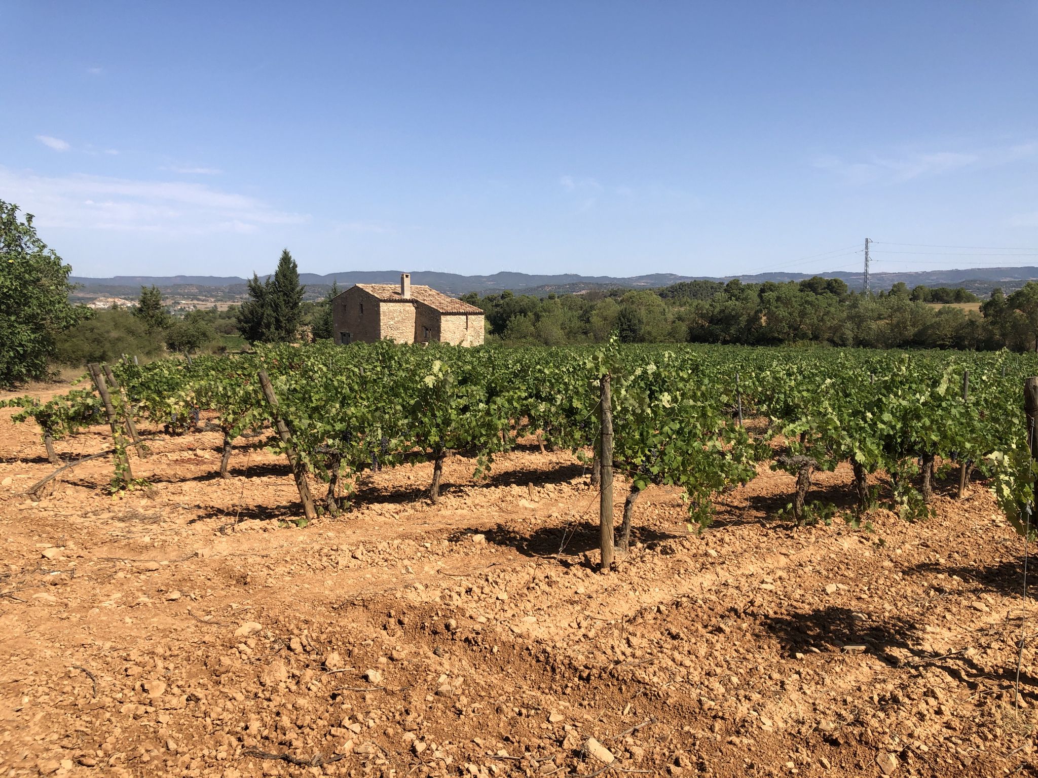
Dry stone architecture is a construction technique that does not use any type of mortar to fix the stones or bricks used. In this area we can see numerous examples, from the very walls that separate the fields, to vineyard cabins, vaults, ovens or ice wells. It is a beautiful testimony of a past life, halfway between subsistence and the use of all the resources that the earth offers. In fact, the farmers responsible for these constructions obtained the stones from the cleaning of the fields themselves.
1
0
Pont d'Armentera is a town in the Alt Camp region (Tarragona) that has a long history. Of Roman origin, the first settlers settled when the aqueduct that fed the ancient Roman city of Tarraco (modern Tarragona) was built. In the northwest of the town there is a very well preserved Roman aqueduct (known as Pont de les Femades and restored in the 18th century) that carried the waters of the Gaià to Tarraco. This use of the waters of the Gaià reached the streets of the town, where various canals were built to feed both the important textile industry that developed from the 14th century onwards and the wheat mills.
1
0

Entertaining route that runs parallel to the river Gaià. The path is easy to do and has practically no complications, perhaps there will only be a couple of steps that can be a bit difficult and can be passed without problems, which would be the first walkway (where I go down the planks of about 50cm wide and supported on some "nails" sunk into the wall) with a rope to help us cross this first short section of footbridges and the first bridge with a length of about 15m (also with a width of about 50cm) that crosses the river Gaià, at about 2/3m above the river (which does not have any type of handrail, cable or rope to help cross it). From this point, continue very well until the fork to the right and to the left of the path (the route has been changed, and now to the left you reach the end of the path) and until you reach the fork, there are a couple of more sections of walkways but easy to pass where aided by the ropes will not pose any problem.
2
0

easy walk for all ages. if you are traveling with children and do not want to return by the same route, you can leave one car in Vila-rodona and continue with another in Santes Creus. breakfast at la fageda.ç, you can make stops in different small gorges of the river and on arrival you can go to Vila-rodona, there are different bars and restaurants, we recommend the restaurant "les fonts"
0
0
Frequently Asked Questions
How many hiking trails are available in Aiguamúrcia?
Aiguamúrcia offers a wide selection of hiking trails, with over 170 routes available. These trails cater to various preferences, ranging from easy strolls to more challenging excursions.
What kind of terrain can I expect when hiking in Aiguamúrcia?
The terrain in Aiguamúrcia is quite diverse, characterized by its location between the Montagut and Montmell mountain ranges. You'll find trails winding through river valleys, extensive vineyards, and forests. Some routes offer panoramic views from higher elevations like the Puig de la Cova, while others follow the scenic Gaià river.
Are there hiking options for all skill levels in Aiguamúrcia?
Yes, Aiguamúrcia provides hiking opportunities for all abilities. There are over 40 easy routes, more than 120 moderate trails, and 11 challenging options for experienced hikers. This variety ensures that everyone can find a suitable path.
What do other hikers enjoy the most about hiking in Aiguamúrcia?
The komoot community highly rates hiking in Aiguamúrcia, with an average score of 4.6 stars from over 280 reviews. Hikers often praise the region's diverse landscapes, the blend of natural beauty with historical sites, and the well-maintained trails that offer varied experiences.
Are there any circular hiking routes in Aiguamúrcia?
Yes, Aiguamúrcia features several popular circular routes. One notable option is the Cistercian Route: Santes Creus Circular, which is 5.7 miles long and passes by the historic Royal Monastery of Santes Creus. Another is the Dry Stone Route – Capona Huts loop from Monestir de Santes Creus, offering a glimpse into traditional architecture.
Can I find family-friendly hikes in Aiguamúrcia?
Absolutely. Many trails in Aiguamúrcia are suitable for families. For an easy and scenic option, consider the El Pont d'Armentera loop from el Pont d'Armentera, which is 3.8 miles long and offers pleasant views along the Gaià river. The region's varied terrain includes many paths that are generally accessible for all ages.
Are dogs allowed on the hiking trails in Aiguamúrcia?
While specific regulations can vary, many natural areas and trails in Aiguamúrcia are generally dog-friendly, especially if kept on a leash. It's always recommended to check local signage or specific route details for any restrictions, particularly in protected natural spaces.
What historical landmarks or natural features can I see along the trails?
Aiguamúrcia's trails often lead to significant historical and natural attractions. You can explore the medieval remains of El Castellot, visit the 11th-century Romanesque hermitage of Sant Miquel de Montclar, or enjoy views from View of Pico del Montmell. Nature enthusiasts will appreciate the Arboleda de Santes Creus, home to the monumental 'El Pollancre' tree, and the Natural pool of the Gaia River.
Are there any protected natural areas to explore?
Yes, Aiguamúrcia is home to several protected natural spaces, including those designated by the Natura 2000 network and the Plan for Spaces of Natural Interest (PEIN). These areas preserve the region's diverse ecosystems, offering opportunities to experience its rich flora and fauna. The Arboleda de Santes Creus is a particularly notable natural attraction.
What is the best time of year to go hiking in Aiguamúrcia?
Aiguamúrcia offers pleasant hiking conditions for much of the year. Spring and autumn are particularly ideal, with mild temperatures and vibrant landscapes. Summer can be warm, making early morning or late afternoon hikes preferable. Winter hiking is also possible, especially on lower elevation trails, offering a different perspective of the region.
Is there public transport available to access hiking trails in Aiguamúrcia?
While Aiguamúrcia is a rural area, some public transport options may connect to nearby towns. However, for direct access to many trailheads, especially those deeper in the natural areas, personal transport is often more convenient. It's advisable to check local bus schedules if relying on public transport.
Where can I park when visiting Aiguamúrcia for hiking?
Parking is generally available in and around the main villages and near popular trailheads, such as those close to the Royal Monastery of Santes Creus. Specific parking information can often be found on local tourism websites or detailed route descriptions.
Most popular routes around Aiguamúrcia
Most popular attractions around Aiguamúrcia

Get inspired with the komoot mobile app


Explore more
Browse the best Hikes in other regions.
