The best mountain hikes around Zuya/Zuia
4.0
(2)
51
hikers
5
hikes
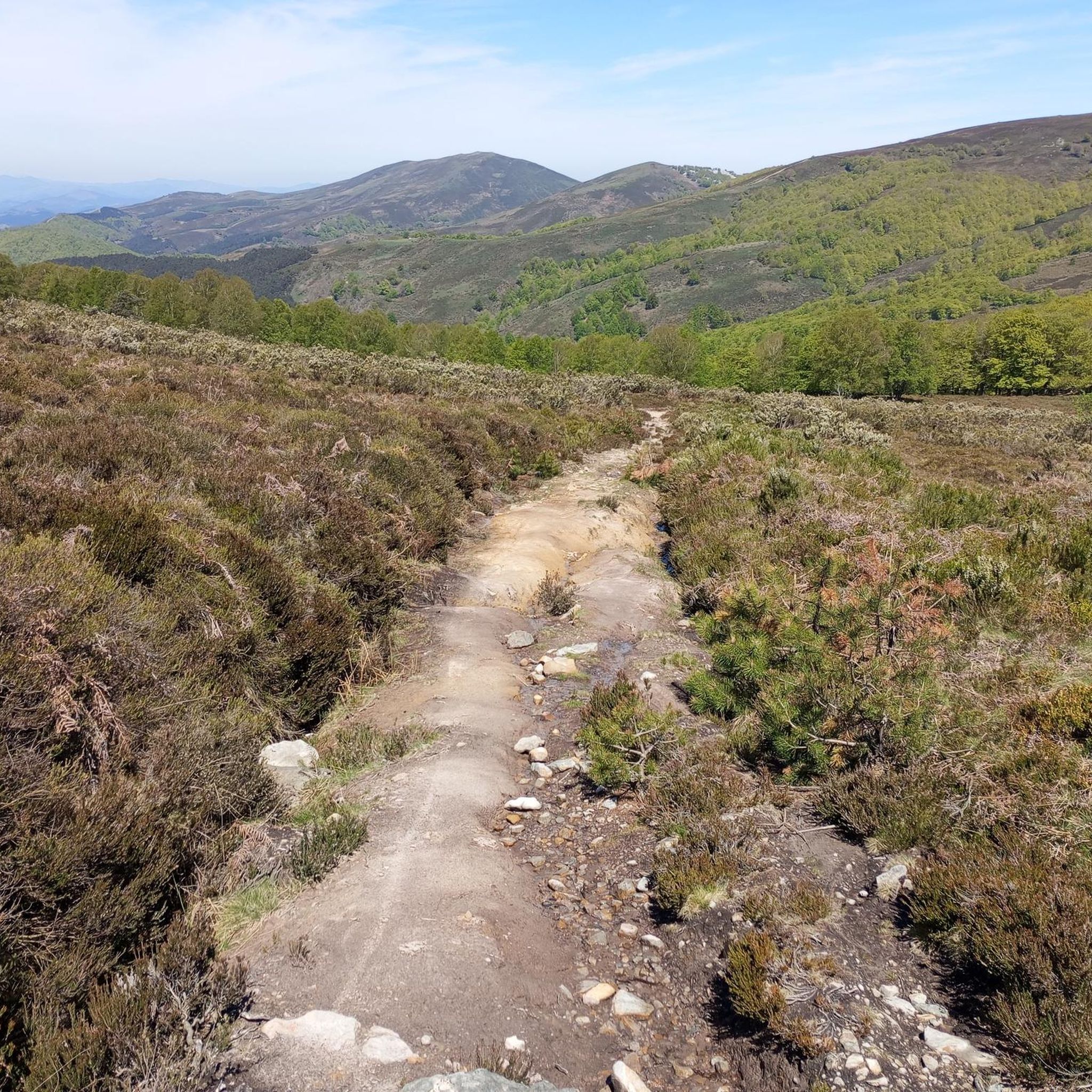
Mountaineering routes around Zuya/Zuia are primarily found within the Gorbeia Natural Park and the nearby Sierra Brava de Badaya, offering a diverse landscape for outdoor activities. The region is characterized by rugged mountains, extensive beech and oak forests, and unique karst formations with numerous sinkholes. Mount Gorbeia, at 4,862 feet (1,482 meters), is a prominent peak, while the Sierra Brava de Badaya features holm oak forests and peaks like Oteros.
Best mountaineering routes around Zuya/Zuia
- The most popular mountaineering route…
Last updated: July 1, 2026
5.0
(1)
23
hikers
12.7km
04:52
660m
660m
Moderate mountaineering route. Good fitness required. Mostly accessible paths. Sure-footedness required.
3.0
(1)
13
hikers
11.5km
05:15
760m
760m
Hard mountaineering route. Very good fitness required. Mostly accessible paths. Sure-footedness required.

Sign up for free
10
hikers
11.9km
05:20
770m
770m
Hard mountaineering route. Very good fitness required. Mostly accessible paths. Sure-footedness required.
3
hikers
7.50km
02:22
300m
300m
Moderate mountaineering route. Good fitness required. Easily-accessible paths. Suitable for all skill levels.
2
hikers
15.3km
04:50
590m
590m
Moderate mountaineering route. Good fitness required. Easily-accessible paths. Suitable for all skill levels.
Our route recommendations are based on thousands of hikes, rides, and runs completed by other people on komoot.
Start today with a free account
Your next adventure awaits.
Login or Signup
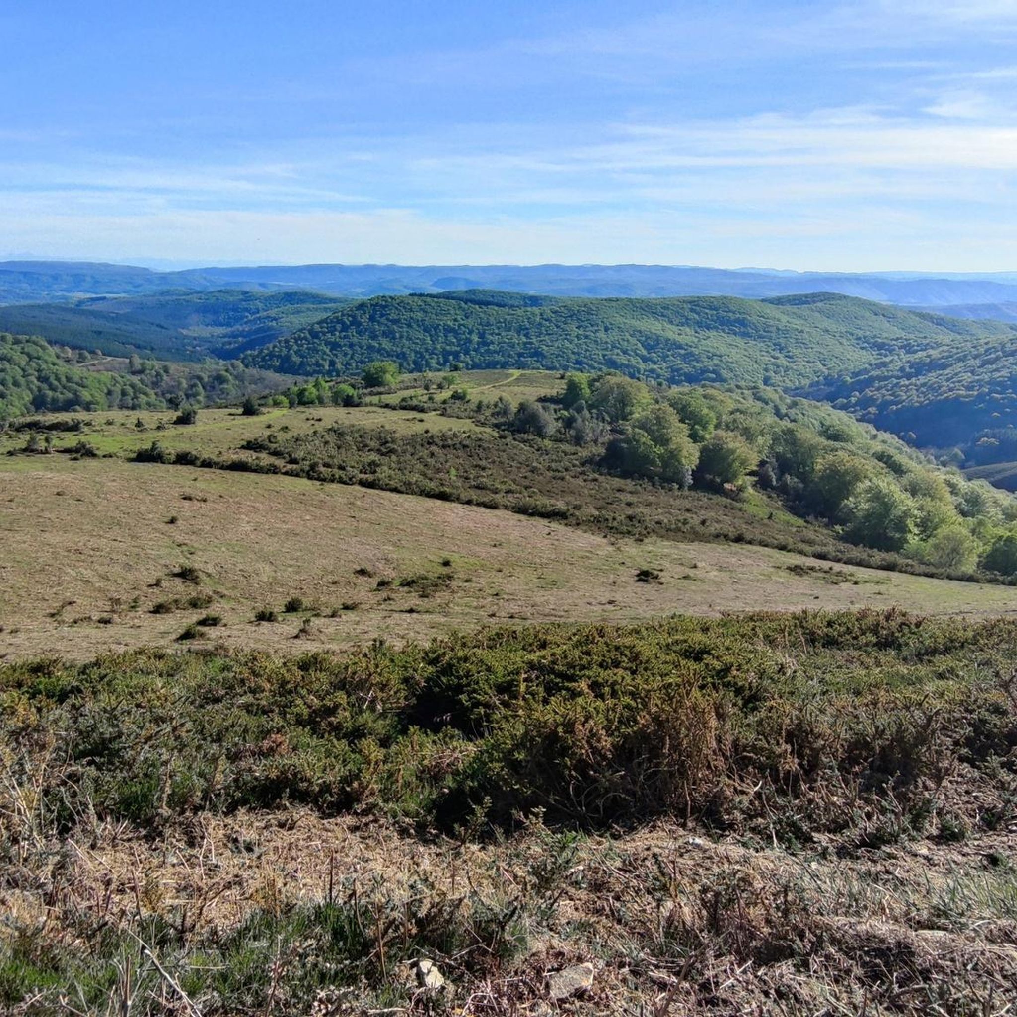
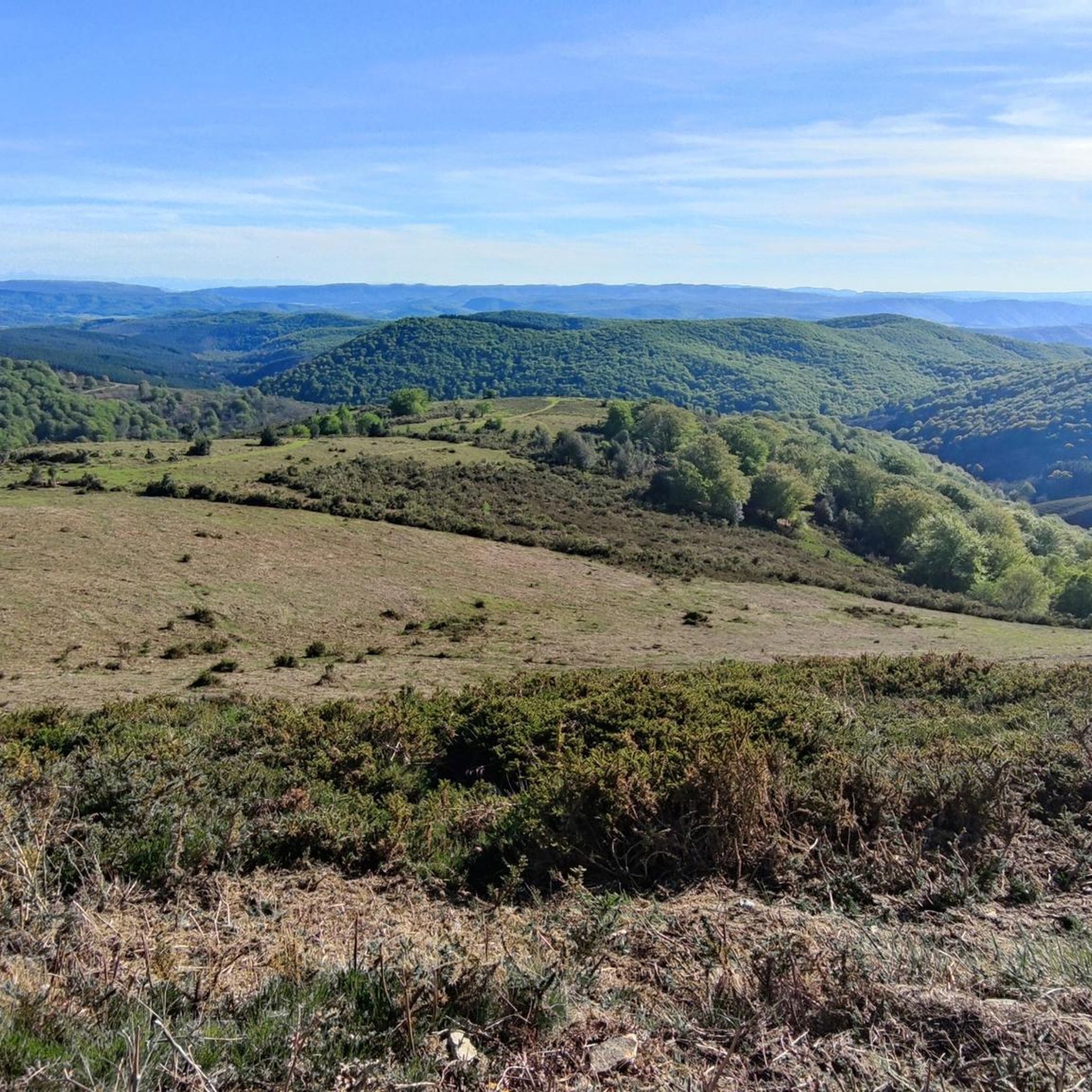
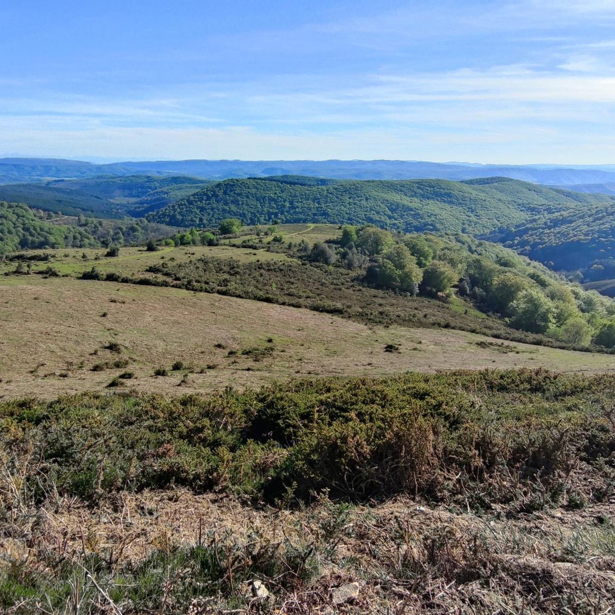
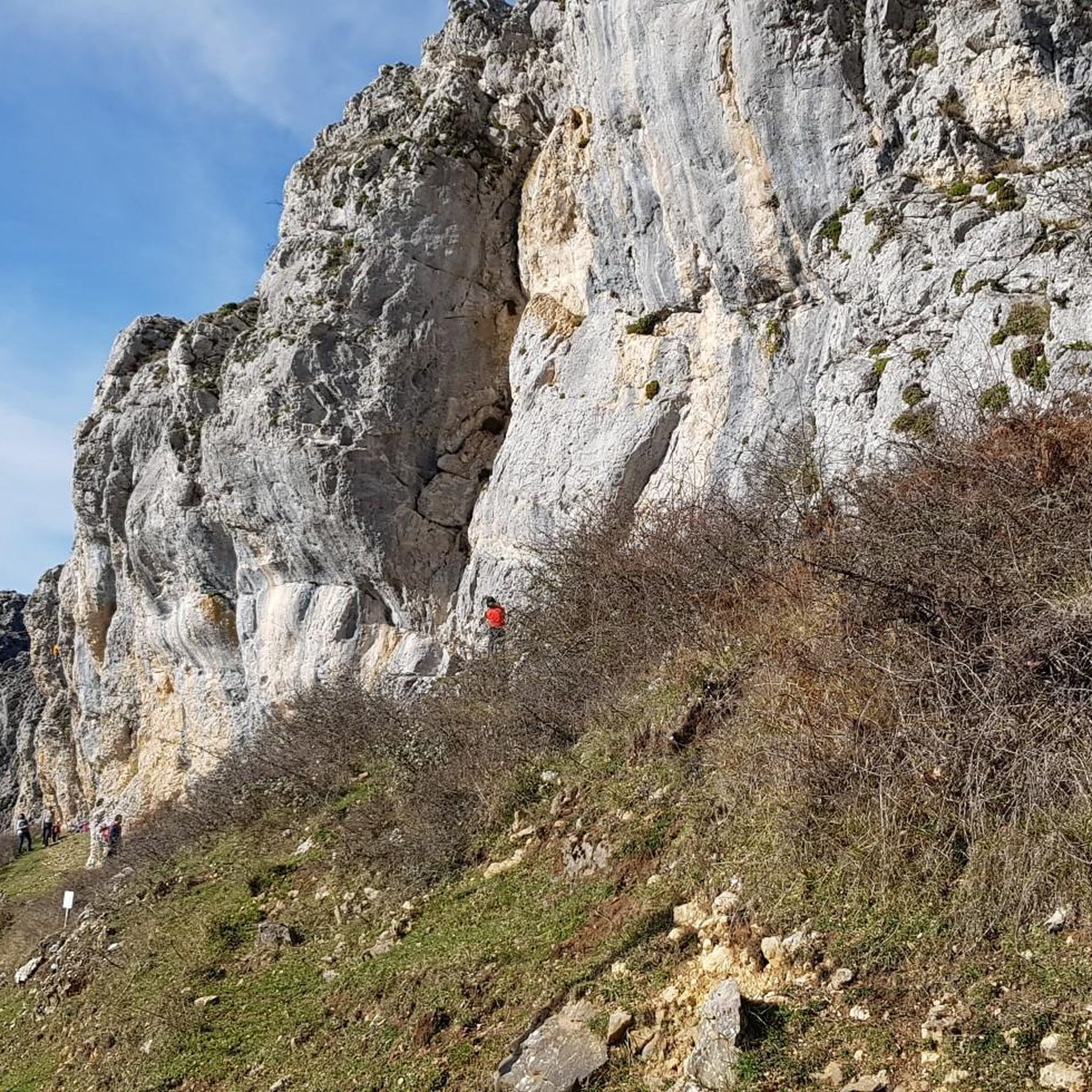

Tips from the Community

The 17 m high summit cross was erected in 1907. The ascent from the reservoir is easily accessible.
1
0

Beautiful view from above the old quarries.
2
0


As long as you don't get 5 mastiffs...
0
0
It's a shame that it was covered in fog in this case, because the views are always great.
0
0
Good complement when you go to or return from Marinda.
1
0
One of the most "pyramidal" mountains in the area.
2
0

The Egiriñao beech forest, where the refuge of the same name is located, stands out for its frequent mists that create a magical, legendary atmosphere.
1
0
Frequently Asked Questions
What is the general difficulty of mountaineering routes in Zuya/Zuia?
Mountaineering routes in Zuya/Zuia primarily range from moderate to difficult. There are 3 moderate routes and 3 difficult routes available, offering a good challenge for experienced mountaineers and those looking to push their limits.
Are there any challenging mountaineering routes for experienced climbers?
Yes, for experienced mountaineers, routes like the Gorbeia loop from Artzegi Mayor offer a demanding experience. This difficult 11.2 km path traverses dense forests and provides extensive views on the slopes of Mount Gorbeia, requiring good fitness and sure-footedness.
Can I find any moderate mountaineering routes in the area?
Absolutely. A great moderate option is the Gorbeia loop from Itxinako natura monumentua. This 12.5 km trail takes you through the varied terrain of Gorbeia Natural Park, including its distinctive karst features, and typically takes around 4 hours 53 minutes to complete.
What natural features can I expect to see along the mountaineering routes?
The region is rich in natural beauty. You'll encounter diverse landscapes including rugged mountains, extensive beech and oak forests, and unique karst formations with numerous sinkholes. Keep an eye out for impressive water features like the Gujuli Waterfall, a spectacular 100-meter cascade, and various viewpoints offering panoramic vistas, such as Trees above the abyss.
Are there any significant landmarks or points of interest near the mountaineering trails?
Beyond the natural wonders, you can explore cultural landmarks. The Sanctuary of Our Lady of Oro, a 16th-century sanctuary, is located in the Peñas de Oro area, which also offers fantastic panoramic views. The iconic Gorbea Summit itself, crowned by its distinctive cross, is a revered destination for Basque mountaineers.
What do other mountaineers enjoy most about the routes in Zuya/Zuia?
The mountaineering routes in Zuya/Zuia are highly rated by the komoot community, with an average score of 3.7 stars. Mountaineers often praise the diverse terrain, from dense forests to unique karst landscapes, and the challenging yet rewarding ascents to peaks like Mount Gorbeia.
Are there any circular mountaineering routes available?
Yes, many of the routes in Zuya/Zuia are designed as loops, allowing you to start and end at the same point. Examples include the Oketa loop from Diseminados de Zigoitia, a moderate 7.5 km trail through forested areas, and the more challenging Gorbeia loop from Itxinako natura monumentua.
What is the best time of year for mountaineering in Zuya/Zuia?
The Gorbeia Natural Park, which encompasses much of Zuya/Zuia's mountaineering terrain, is popular year-round. However, spring and autumn generally offer the most pleasant conditions with milder temperatures and vibrant foliage. Winter mountaineering is also possible, especially to the Gorbeia summit, but requires appropriate gear and experience due to snow and ice.
Is public transport available to access the mountaineering routes?
While specific public transport routes directly to all trailheads can be limited, the Gorbeia Natural Park Interpretation Center in Sarria serves as a key access point and information hub for visitors. From there, you may find local connections or need to arrange private transport to reach specific starting points for tours.
Are there any permits required for mountaineering in Gorbeia Natural Park?
Generally, permits are not required for hiking and mountaineering on established trails within Gorbeia Natural Park. However, it's always advisable to check with the Gorbeia Natural Park Interpretation Center in Sarria for any specific regulations or temporary restrictions, especially for larger groups or certain activities like caving.
Are there any routes that pass by waterfalls?
Yes, the region is known for its beautiful water features. The impressive Gujuli Waterfall, with its 100-meter drop, is a significant highlight in the area. While not directly on every mountaineering route, some trails offer access to viewpoints or nearby paths that allow you to experience this natural wonder.
Where can I find information about the Gorbeia Natural Park?
The Gorbeia Natural Park Interpretation Center in Sarria is an excellent resource for information about the park, its trails, and local conditions. You can also find more general information about the region's natural beauty and activities on the official Basque Country tourism website: basquecountry-tourism.com.
Most popular routes around Zuya/Zuia
Most popular attractions around Zuya/Zuia

Get inspired with the komoot mobile app


Explore more
Browse the best Mountain Hikes & Routes in other regions.
