The best walks and hikes around Marlín
7
hikers
4
hikes
Hiking around Marlín, located in Spain, offers a selection of trails that traverse varied landscapes. The region features a mix of open countryside and historical sites, providing diverse settings for outdoor activity. Routes often include gentle ascents and descents, characteristic of the local terrain. The area is suitable for hikers seeking moderate paths with cultural points of interest.
Best hiking trails around Marlín
- The most popular hiking route is Castro de las Cogotas Circular Trail, a 7.4 miles (11.9…
Last updated: July 1, 2026
4
hikers
11.9km
03:15
190m
190m
Moderate hike. Good fitness required. Mostly accessible paths. Sure-footedness required.
16.2km
04:25
240m
240m
Moderate hike. Good fitness required. Mostly accessible paths. Sure-footedness required.

Sign up for free
7.72km
02:07
120m
120m
Moderate hike. Good fitness required. Easily-accessible paths. Suitable for all skill levels.
10.4km
02:44
90m
90m
Moderate hike. Good fitness required. Easily-accessible paths. Suitable for all skill levels.
2
hikers
2.56km
00:39
10m
10m
Easy hike. Great for any fitness level. Easily-accessible paths. Suitable for all skill levels.
Our route recommendations are based on thousands of hikes, rides, and runs completed by other people on komoot.
Start today with a free account
Your next adventure awaits.
Login or Signup
Popular around Marlín

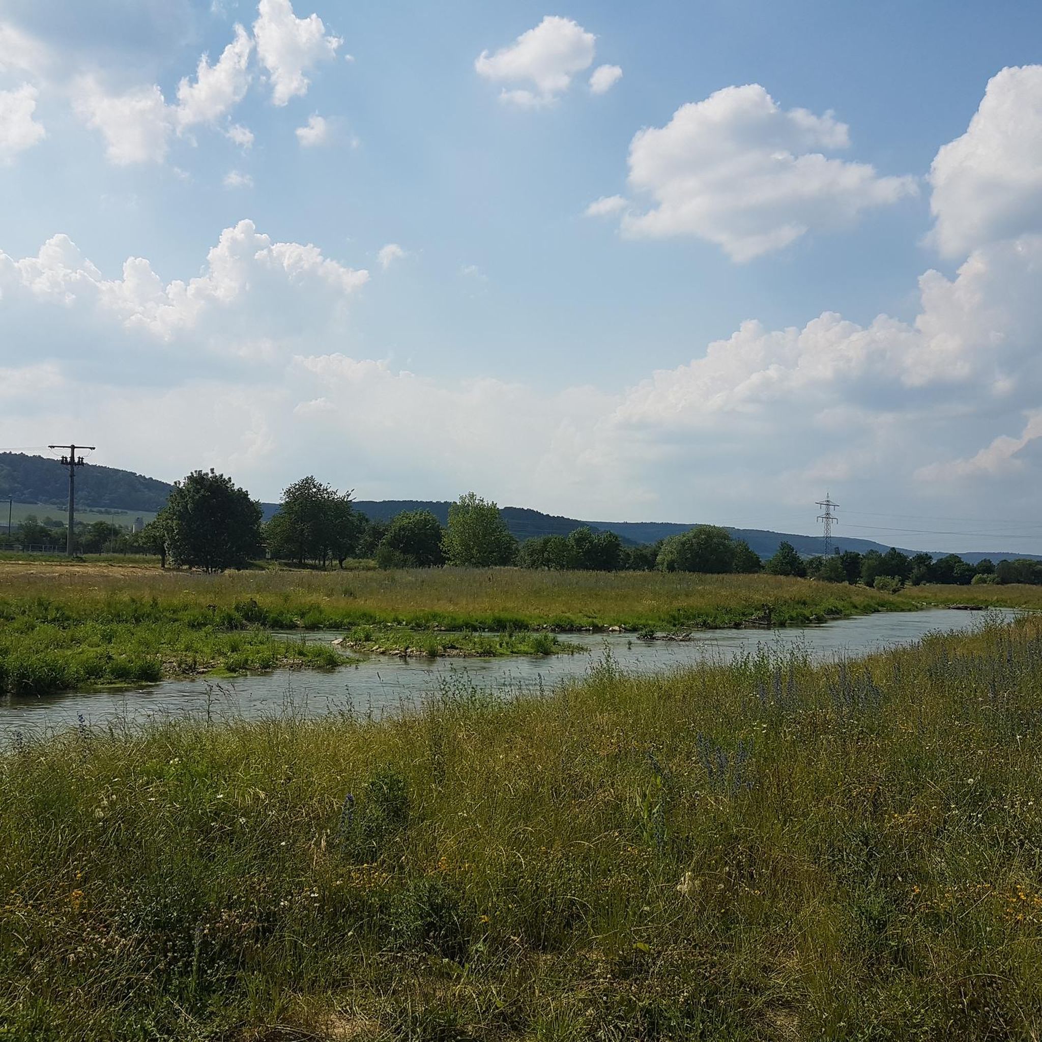
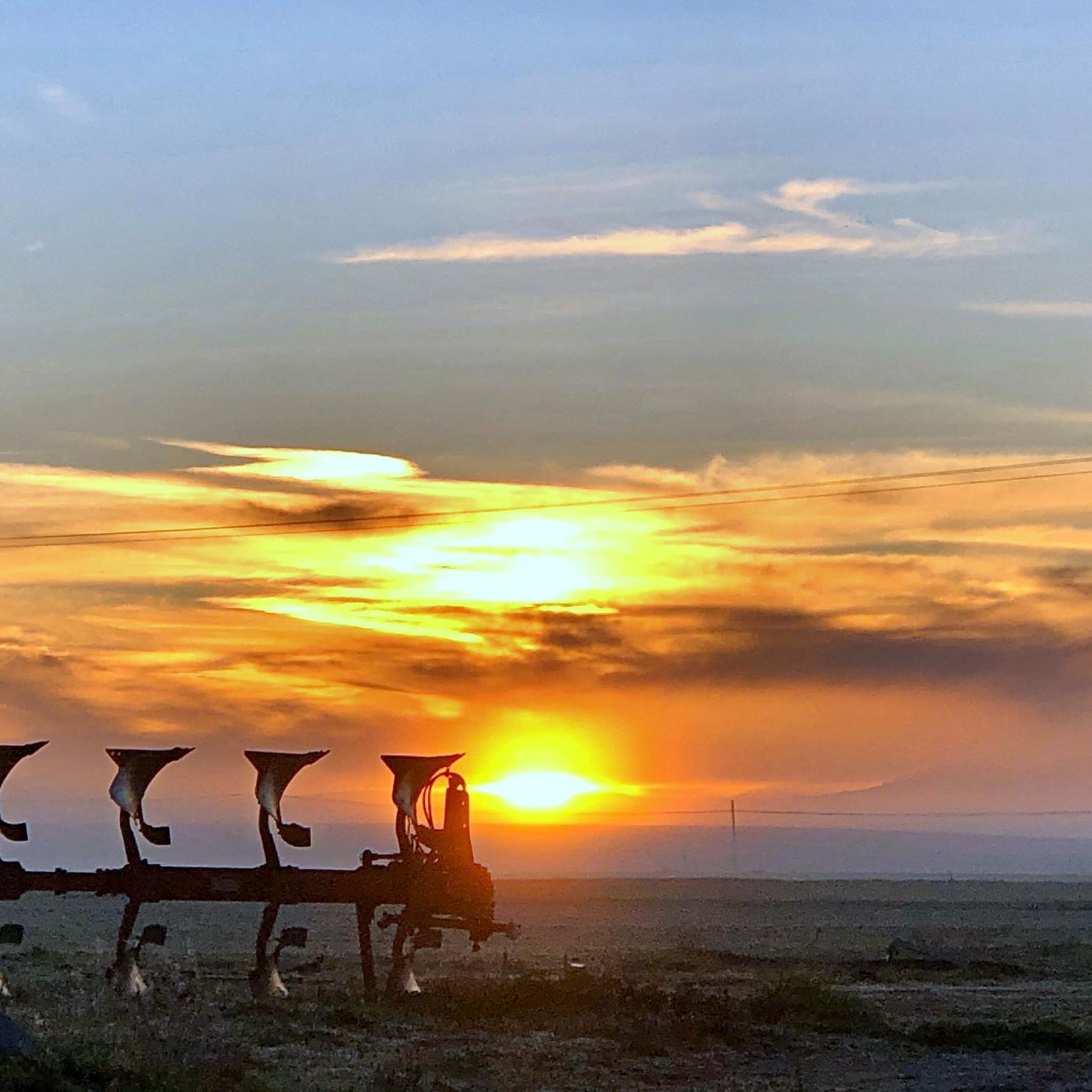
Tips from the Community

The Castro de Las Cogotas, located in the municipality of Cardeñosa (Ávila), is one of the most emblematic Iron Age archaeological sites on the Iberian Peninsula, especially linked to the Vetton people. It is situated on a hill next to the Adaja River, surrounded by holm oak groves, pastures, and fertile land. This location offered defensive advantages and abundant natural resources. The fort is open to the public and has an Interpretation Center that explains its history and characteristics. Periodic archaeological conferences are also held on the site.
2
0
Aveinte, a name with historical roots, has a fascinating legend dating back to ancient times. Many centuries ago, at the dawn of the Middle Ages, there was a small town in what we know today as Aveinte. The inhabitants of this place were simple people, dedicated mainly to agriculture and livestock. They lived in harmony with nature and worshiped the gods of the earth and sky. One day, during a time of drought and scarcity, the locals gathered in the town square to pray for rain and good harvests. The wise old man of the place, known as Adventius, led the ceremony. With his wrinkled hands and deep voice, he spoke words of supplication to heaven. Legend has it that, at that crucial moment, a mysterious figure appeared among the clouds. He was a luminous being, dressed in white robes and silver hair. The villagers were amazed and knelt before this heavenly presence. The being addressed Adventius and spoke to him in an ancient language that only he understood. “For your devotion and the faith of your people, I will grant a blessing,” he said. “From now on, every twenty years, the waters of the river that runs through Aveinte will overflow, fertilizing the land and ensuring abundant harvests.” Thus the name Aveinte was born, which means “advent” or “arrival” in honor of the heavenly visit. Since then, every twenty years, the river overflows and renews the earth, fulfilling the promise of the luminous being. The inhabitants of Aveinte keep this tradition alive and celebrate “Aveinte” with joy and gratitude. The legend has been passed down from generation to generation, and the town's name remains a reminder of its connection to the divine and renewed hope. So, when you walk through the cobblestone streets of Aveinte, remember this story and the magic that surrounds its name. 🌟🏡
2
0

Three stone crosses located on a rocky outcrop near the Ermita del Berrocal, on the outskirts of Cardeñosa.
1
0
Along the way you reach the ruins of a medieval settlement, with building stones scattered on the ground of which only the main arch of a church remains standing.
2
0

Cardeñosa is the ideal place to stop along the way and have a drink to continue the route. Here is the Castro Interpretation Center
1
0

Small town located in a flat area between the cities between Ávila and Salamanca. Its church, that of Santo Tomas apostol, is one of the most important elements of the nucleus.
1
0
Nucleus that has a great history behind it not only because Las Cogotas is located closer to the reservoir but also, for example, the Arco toral of the depopulated Conejeros.
1
0
Las Cogotas is an ancient walled enclosure that is currently an important archaeological site located north of the city of Ávila and right next to the Embalse del Castro de Las Cogotas.
0
1
Frequently Asked Questions
How many hiking trails are there in Marlín?
Marlín offers a selection of 4 hiking routes, ranging from easy to moderate difficulty. These trails explore the open countryside and historical sites characteristic of the region.
Are there easy hiking trails in Marlín?
Yes, Marlín has at least one easy hiking trail. The Arco de Consejeros loop from Cardeñosa is an easy 6.6 km route, perfect for a relaxed outing.
What can I see along the hiking trails in Marlín?
The trails around Marlín often feature historical elements and open views. You can explore archaeological sites like Castro de Las Cogotas, or visit nearby landmarks such as the Ávila City Walls and the Old Roman bridge over the Adaja River.
Are there any circular hiking routes in Marlín?
Yes, several routes in Marlín are circular. For example, the Castro de las Cogotas Circular Trail and the Yacimiento de las Cogotas — circular desde Cardeñosa are popular loop options that allow you to start and end in the same location.
What is the typical length or duration of hikes in Marlín?
Hikes in Marlín vary in length and duration. You can find shorter routes like the Cardeñosa and Arco de Conejeros Trail, which is 7.7 km and takes about 2 hours 7 minutes, or longer moderate trails such as the Yacimiento de las Cogotas — circular desde Cardeñosa, which is 16.2 km and typically takes around 4 hours 25 minutes.
Are dogs allowed on hiking trails in Marlín?
While specific regulations for dogs on every trail in Marlín are not detailed, generally, dogs are welcome on rural paths and in open countryside in Spain, especially if kept on a leash. It's always best to check local signage or specific park rules if available.
Are there family-friendly walks in Marlín?
Yes, the easier and moderate trails in Marlín are suitable for families. Routes with gentle ascents and descents, like the Arco de Consejeros loop from Cardeñosa, offer an enjoyable experience for various fitness levels.
What do other hikers enjoy the most about hiking in Marlín?
Hikers using komoot often appreciate the varied terrain, which includes open countryside and rural paths. The presence of historical sites and expansive views along routes like the Castro de las Cogotas Circular Trail are frequently highlighted as enjoyable aspects of the region.
What is the best time of year to hike in Marlín?
The best time to hike in Marlín, given its location in Spain, is typically during spring (April to June) and autumn (September to November). These seasons offer milder temperatures, making for more comfortable hiking conditions compared to the heat of summer or the cooler, potentially wetter winter months.
Are there trails with good viewpoints in Marlín?
Many trails in Marlín traverse open countryside, providing expansive views of the surrounding landscape. Routes that explore archaeological sites, such as the Yacimiento de las Cogotas — circular desde Cardeñosa, often offer elevated perspectives and scenic vistas.
Are there any less-known or 'hidden gem' trails in Marlín?
For those looking for a quieter experience, the Camino de Villaflor — circular by Aveinte offers a moderate 10.4 km path through rural areas, providing a chance to explore the region's charm away from more frequented spots.
Can I reach hiking trails in Marlín using public transport?
Marlín is a rural area, and direct public transport access to trailheads might be limited. It is generally recommended to travel by car to reach the starting points of most hiking routes in the region. Some trails may be accessible from nearby villages like Cardeñosa, which might have limited bus services.
Most popular attractions around Marlín

Get inspired with the komoot mobile app


Explore more
Browse the best Hikes in other regions.
