The best mountain hikes around Alpedrete
4.0
(1)
14
hikers
2
hikes
Mountaineering routes around Alpedrete offer direct access to the Sierra de Guadarrama National Park, a significant destination for outdoor pursuits. The region is characterized by imposing mountains, granite formations, and Scots pine forests. Peaks exceeding 2,000 meters provide varied terrain for mountaineers. This area is a renowned hub for climbing in central Spain.
Best mountaineering routes around Alpedrete
- The most popular mountaineering route is La Maliciosa (2,227 m) loop from Presa del Embalse de Navacerrada, a 6.6 miles (10.7…
Last updated: October 15, 2026
4.0
(1)
2
hikers
12.4km
05:35
780m
780m
Hard mountaineering route. Very good fitness required. Sure-footedness, sturdy shoes and alpine experience required.
7
hikers
10.1km
04:49
770m
770m
Hard mountaineering route. Good fitness required. Sure-footedness, sturdy shoes and alpine experience required.

5
hikers
Hard mountaineering route. Good fitness required. Sure-footedness, sturdy shoes and alpine experience required.
Our route recommendations are based on thousands of hikes, rides, and runs completed by other people on komoot.
Start today with a free account
Your next adventure awaits.

Tips from the Community

Going over all the peaks makes it a real adventure!!!
0
0

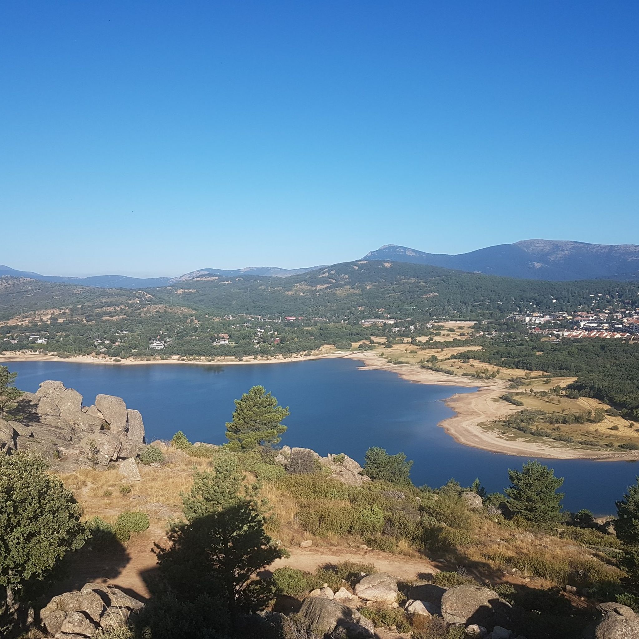
Strategic point from which excellent landscapes can be seen in the surrounding area.
0
0
High and difficult peak in the Sierra de Madrid, especially with clouds and winds.
0
0

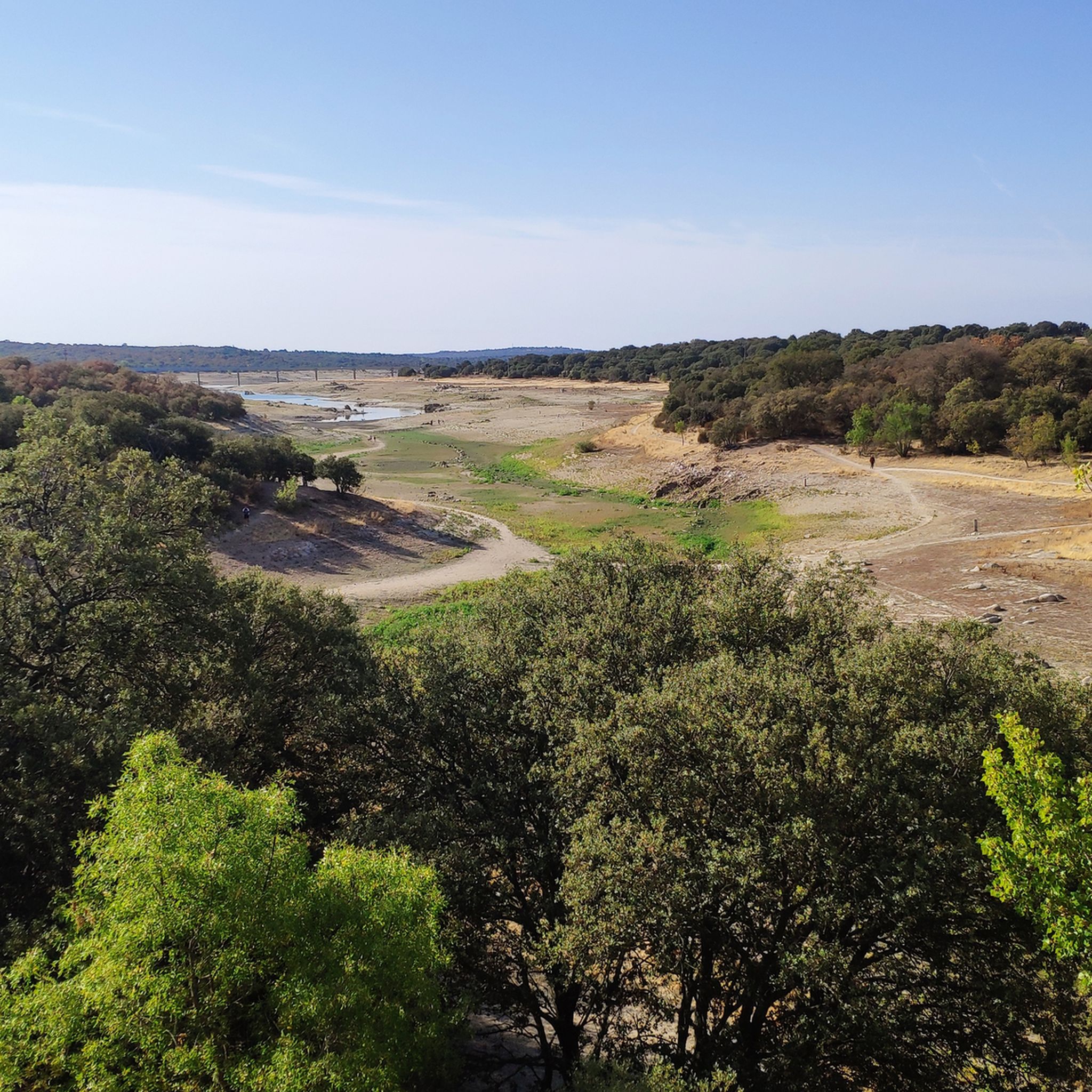
This reservoir is located in the beautiful Barranca valley
0
0
The Barranca Army Reservoir, built in the 1950s in Navacerrada (Madrid), is located in the Barranca Valley, within the Upper Manzanares Basin Regional Park. It originally supplied water to a sanatorium. Today, surrounded by a valuable ecosystem, it is a place to enjoy nature and views of the Sierra de Guadarrama.
0
0
It's cool to stop and listen to the water fall
0
0
The Camino Purricelli in Cercedilla is an ancient road that is part of the rich historical and natural heritage of the Sierra de Guadarrama. Its origin dates back to the late 19th and early 20th centuries, when it was built as a forest road to facilitate access and transport of wood from the dense forests of the area.
0
0
It is one of the few peaks that has a name, the others except the first peak, Majalasna, are numbered.
0
0
Frequently Asked Questions
What kind of terrain can I expect on mountaineering routes around Alpedrete?
The mountaineering routes around Alpedrete are primarily characterized by the distinctive granite terrain of the Sierra de Guadarrama. You'll encounter rocky outcrops, imposing mountains, and extensive Scots pine forests, offering varied landscapes for your ascent.
Are there any moderate mountaineering routes available in the Alpedrete area?
Yes, while many routes are challenging, there is at least one moderate mountaineering route. Consider the Embalse del Ejercito del Aire loop from Presa del Embalse de Navacerrada, which covers 5.1 km and involves an elevation gain of approximately 372 meters.
What are some of the more challenging mountaineering routes near Alpedrete?
For those seeking a challenge, the region offers several difficult routes. The La Maliciosa (2,227 m) loop from Presa del Embalse de Navacerrada is a prominent option, covering 10.7 km with over 800 meters of elevation gain. Another demanding choice is the Siete Picos – Second Peak – Senda Herreros loop from Estación de Camorritos, a 12.5 km path with significant climbs.
Are there any circular mountaineering routes around Alpedrete?
Yes, many of the mountaineering routes in the area are designed as loops. For instance, the popular La Peñota Peak – La Peñota loop from Cercedilla is a 10 km circular trail that takes you through granite formations and pine forests.
What natural features or viewpoints can I expect to see along the mountaineering trails?
The routes offer stunning natural features and viewpoints. You might encounter the Las Canchas Viewpoint, offering panoramic vistas of the Barranca Valley and the Maliciosa massifs. The Scots Pine Forests of La Barranca are also a prominent feature, and you may even discover the Covacho Waterfall on some trails.
What do other mountaineers say about the routes in Alpedrete?
The mountaineering routes around Alpedrete are highly regarded by the komoot community, holding an average rating of 4.5 stars. Users often praise the challenging climbs, panoramic views of the Sierra, and the diverse granite formations and pine forests encountered along the way.
Is winter mountaineering possible in the Sierra de Guadarrama near Alpedrete?
Yes, during harsh winters with sufficient snow and ice, certain areas of the Sierra de Guadarrama become suitable for alpine climbing. The southern slopes of La Maliciosa and the Cuerda de las Buitreras are known for offering routes for winter ascents.
Are there any specific peaks or notable areas for mountaineering in the region?
The Sierra de Guadarrama is home to several significant peaks. La Maliciosa (2,227 meters) is a prominent summit, and the Siete Picos area offers challenging climbs. La Peñota is another notable peak known for its granite formations.
What is the typical duration for a mountaineering route in Alpedrete?
The duration varies depending on the route's length and difficulty. For example, the La Maliciosa (2,227 m) loop typically takes around 5 hours, while the La Peñota Peak loop can be completed in about 4 hours 47 minutes.
Are there any permits required for mountaineering in the Sierra de Guadarrama National Park?
The Sierra de Guadarrama is a National Park, and while general access for hiking is usually unrestricted, certain activities or specific areas might require permits, especially for climbing or larger groups. It's advisable to check with the park authorities for the most current regulations before your trip.
What is the best time of year for mountaineering around Alpedrete?
The best time for mountaineering generally depends on your preference. Spring and autumn offer pleasant temperatures and stable weather for most routes. Summer can be hot but is ideal for higher altitudes. Winter provides opportunities for alpine climbing, but requires specialized gear and experience due to snow and ice conditions.
Are there any other attractions or natural points of interest near the mountaineering routes?
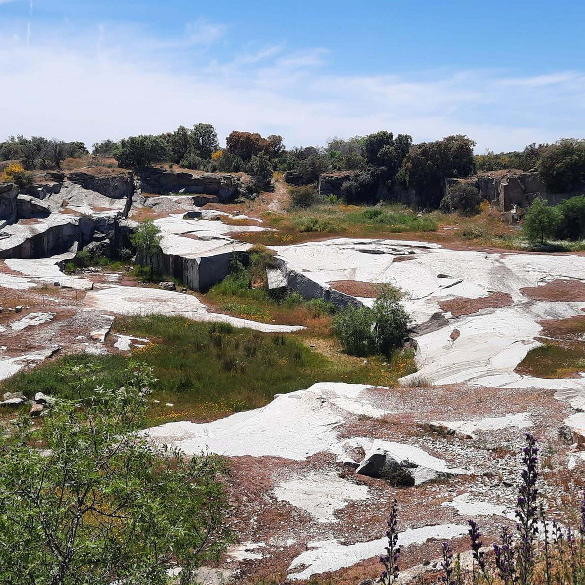
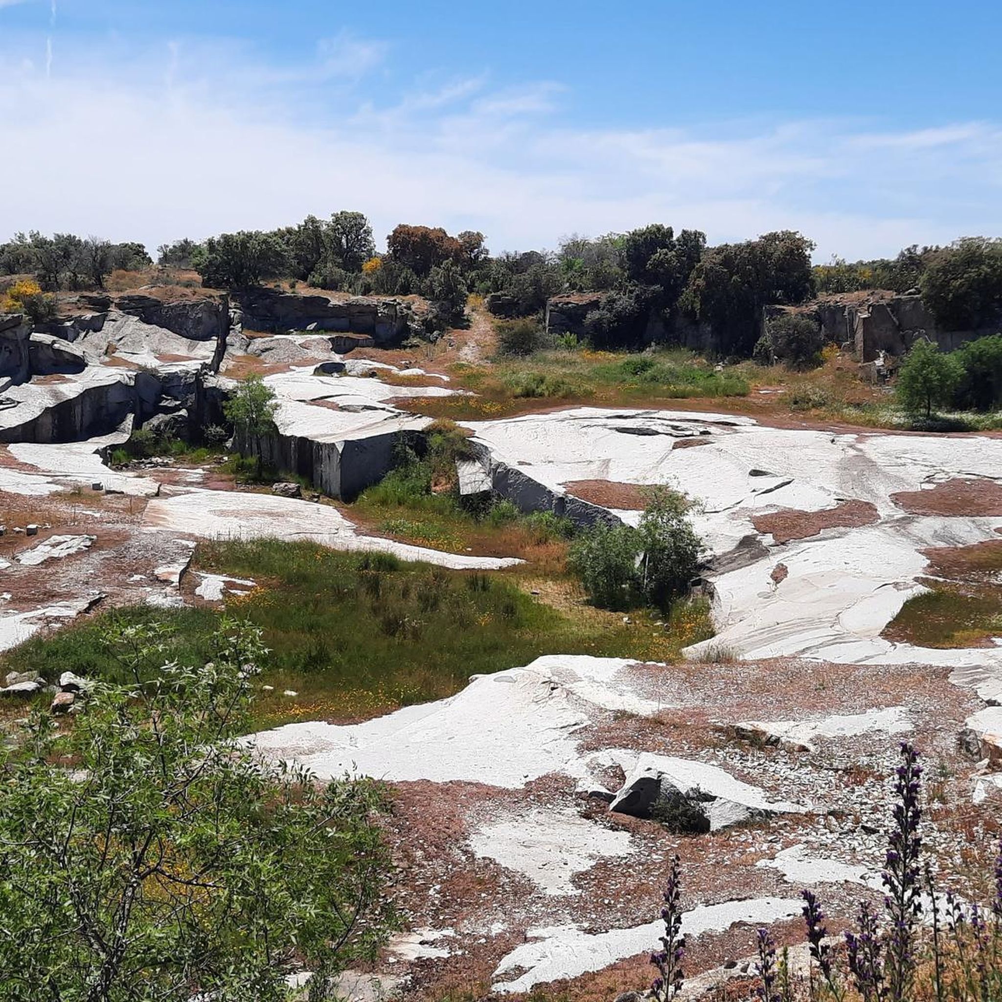
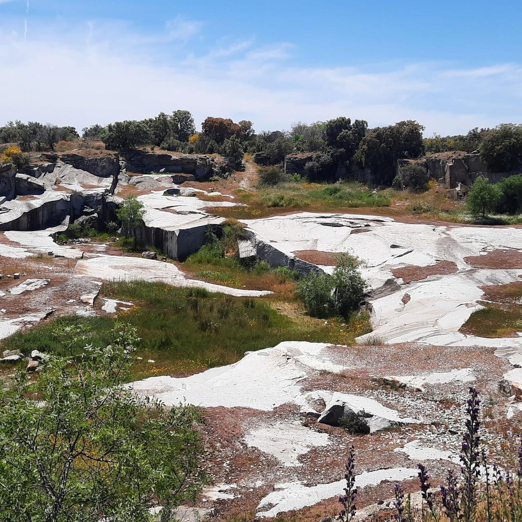
Beyond the trails, the region boasts several natural attractions. The La Jarosa Reservoir is a notable lake nearby, and the area is also known for its holm oak dehesa and abandoned granite quarries, which now serve as important habitats for amphibians.
Most popular attractions around Alpedrete

Get inspired with the komoot mobile app


Explore more
Browse the best Mountain Hikes & Routes in other regions.
