The best mountain hikes around Guadarrama
4.0
(1)
22
hikers
4
hikes
Mountaineering around Guadarrama is characterized by its diverse and challenging terrain, featuring peaks exceeding 2,000 meters, with Peñalara reaching 2,428 meters (7,966 ft). The region is known for its distinctive granite rock formations, particularly in La Pedriza, which offers extensive climbing opportunities. Remains of Quaternary glaciations, including cirques and glacial lakes, are present at higher elevations, while lower slopes are covered by vast pine and Pyrenean oak forests. These features provide varied landscapes for mountaineering routes.
Best mountaineering routes around…
Last updated: October 17, 2026
4.0
(1)
2
hikers
12.4km
05:35
780m
780m
Hard mountaineering route. Very good fitness required. Sure-footedness, sturdy shoes and alpine experience required.
7
hikers
10.1km
04:49
770m
770m
Hard mountaineering route. Good fitness required. Sure-footedness, sturdy shoes and alpine experience required.

4
hikers
10.5km
04:45
770m
770m
Moderate mountaineering route. Good fitness required. Mostly accessible paths. Sure-footedness required.
5
hikers
Hard mountaineering route. Good fitness required. Sure-footedness, sturdy shoes and alpine experience required.
4
hikers
14.5km
06:14
950m
940m
Hard mountaineering route. Very good fitness required. Mostly accessible paths. Sure-footedness required.
Our route recommendations are based on thousands of hikes, rides, and runs completed by other people on komoot.
Start today with a free account
Your next adventure awaits.
Popular around Guadarrama

The treasures of Guadarrama – on foot along the GR 10 in Madrid
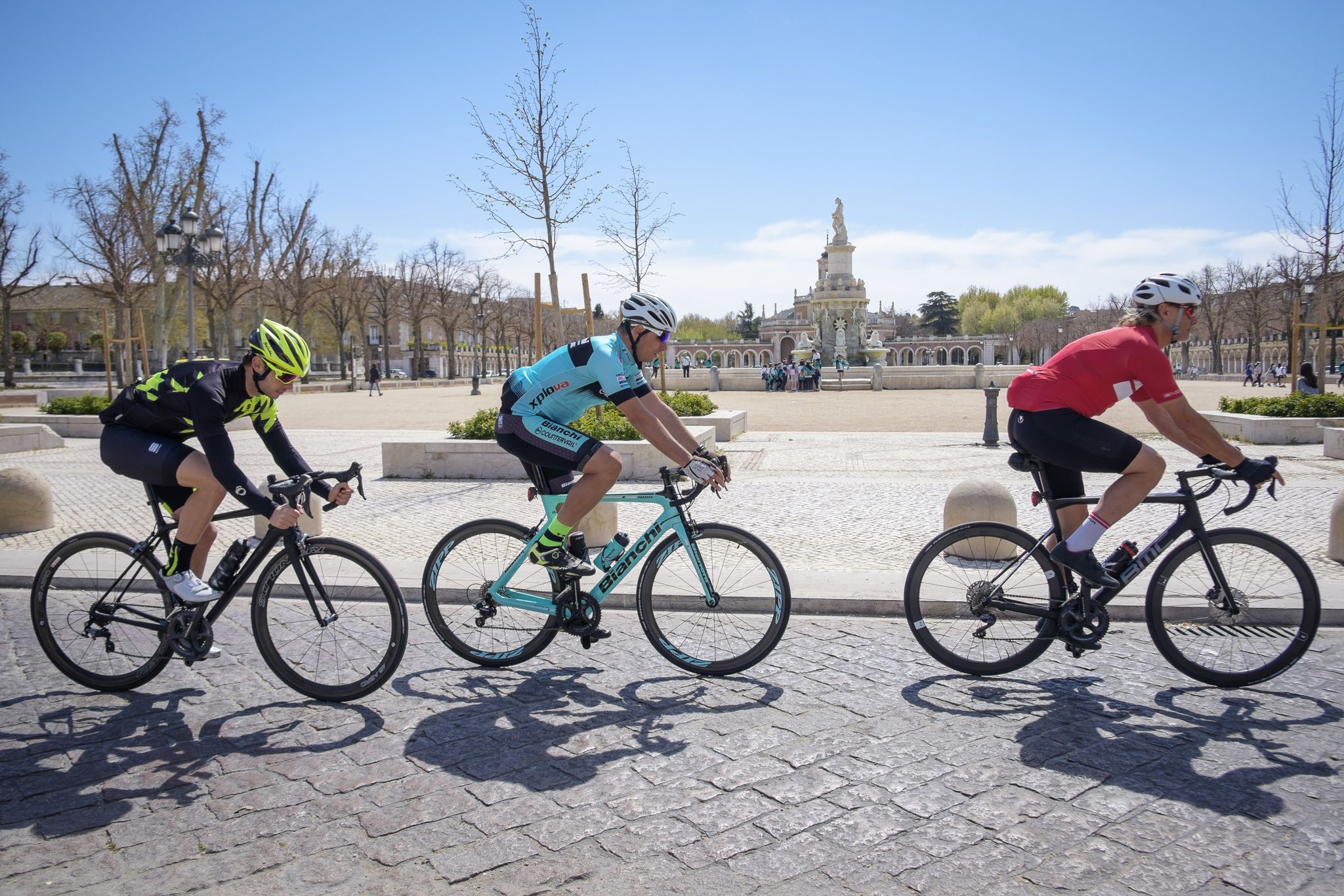
Ports, countryside and rivers – Tour of Madrid by road bike
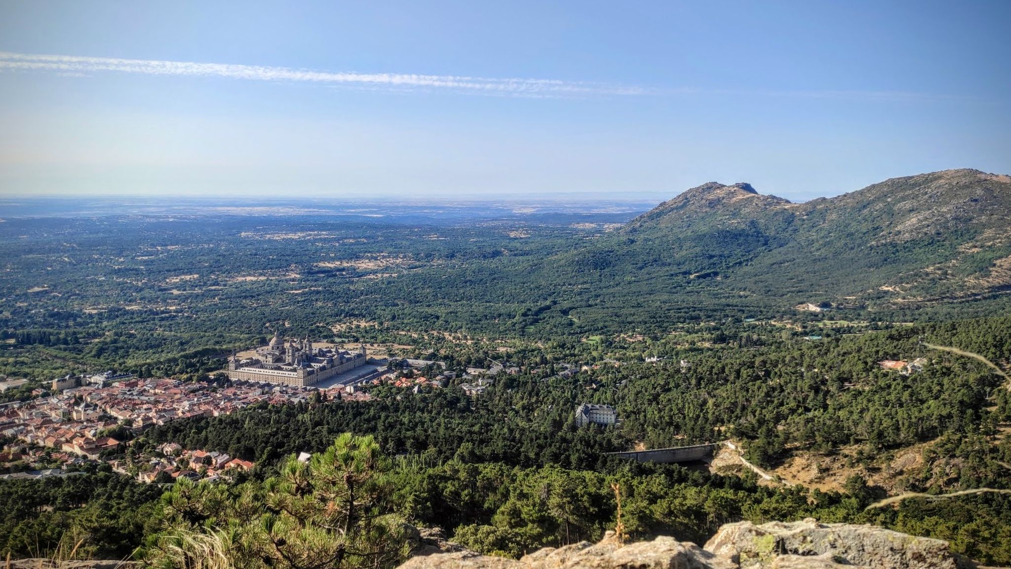
Sierras, countryside, reservoirs and history – Tour of Madrid gravel
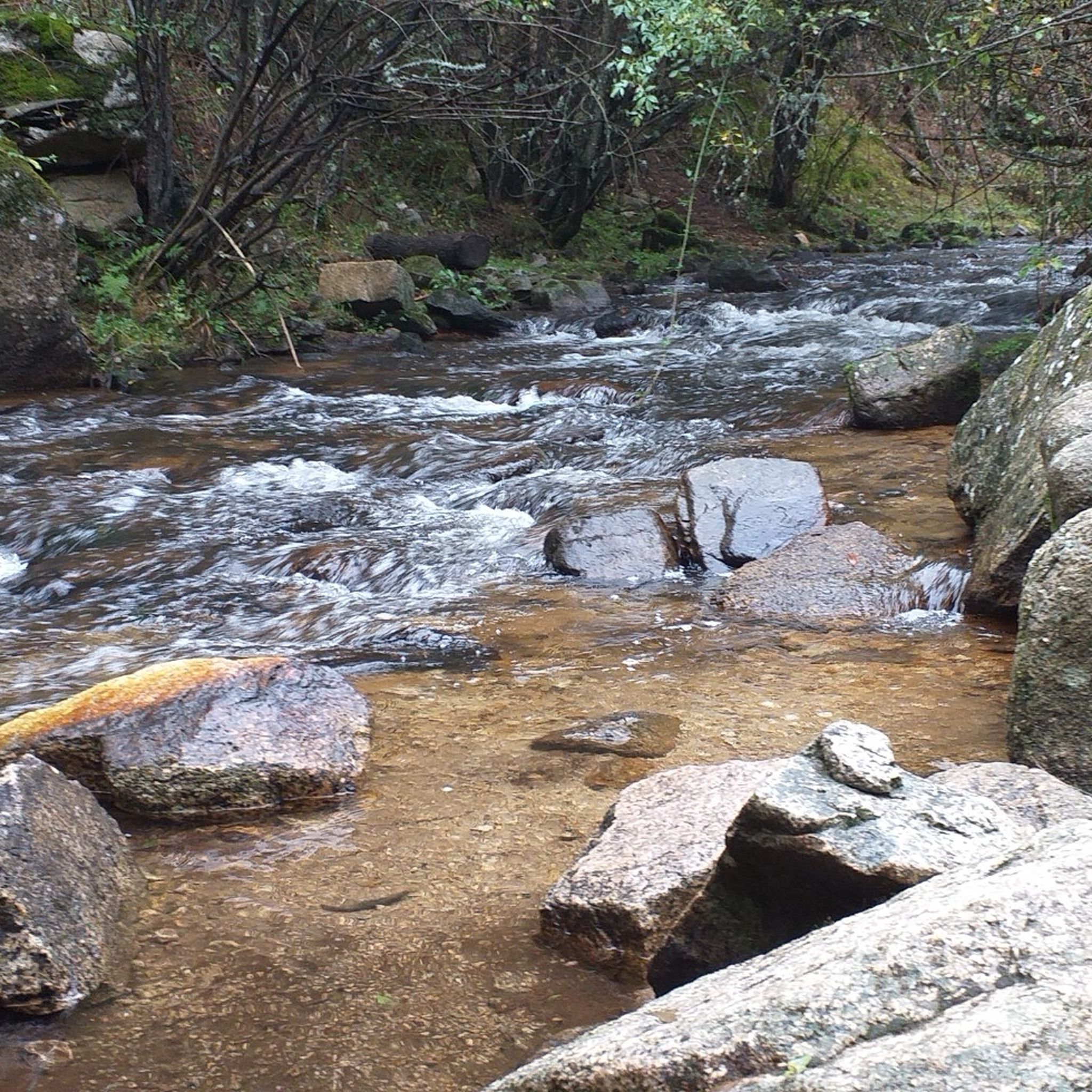
Hiking around Guadarrama
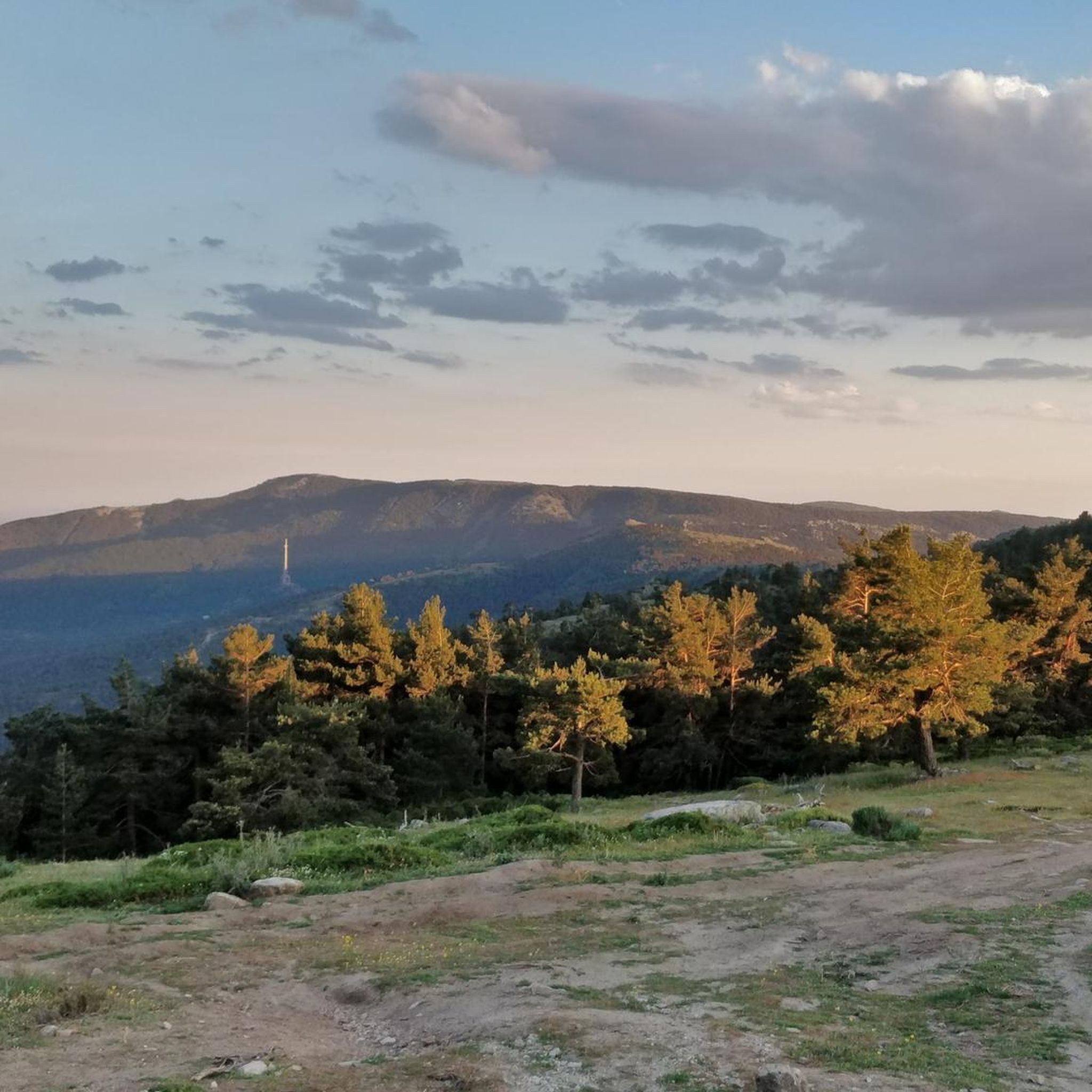
MTB Trails around Guadarrama
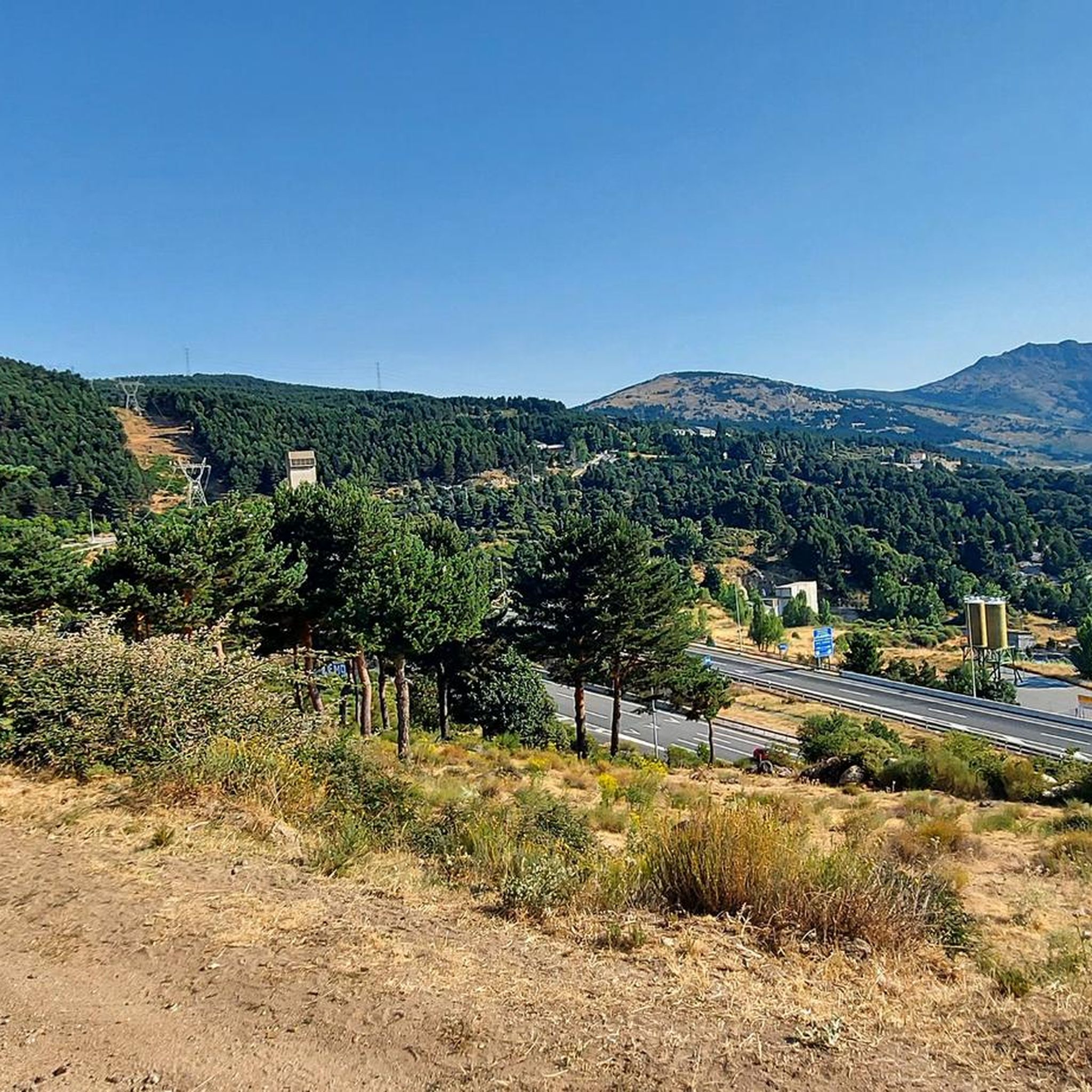
Running Trails around Guadarrama
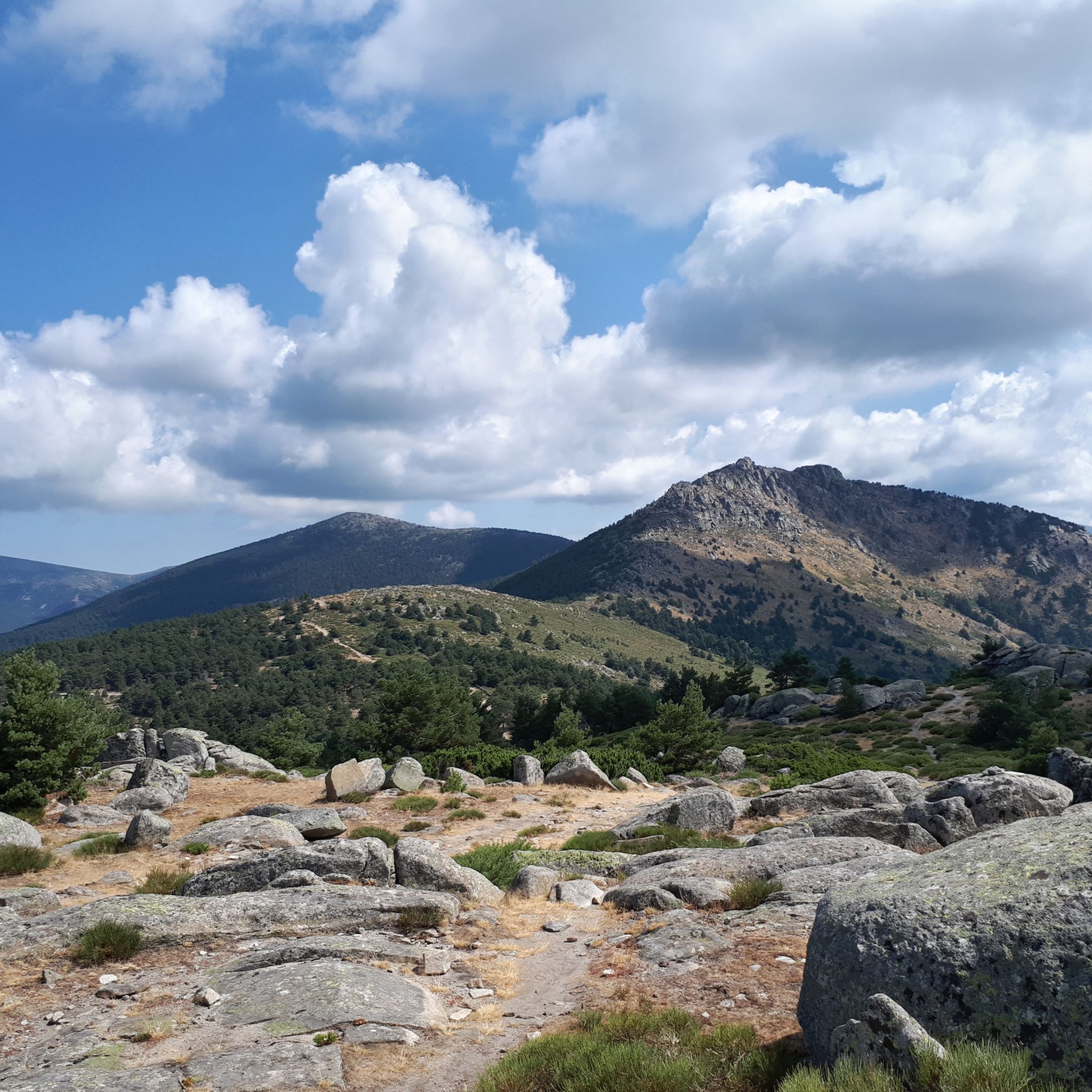
Cycling around Guadarrama
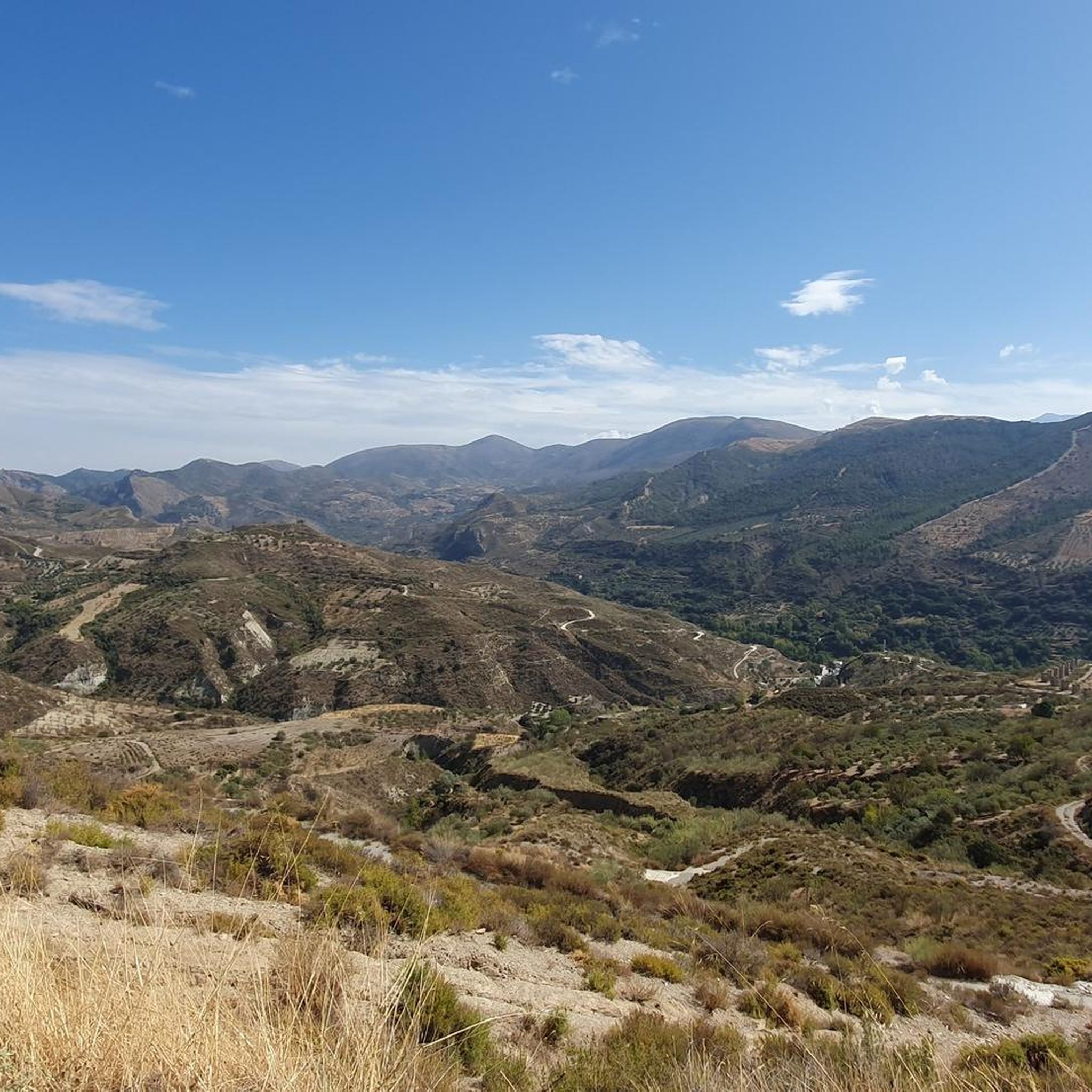
Gravel biking around Guadarrama
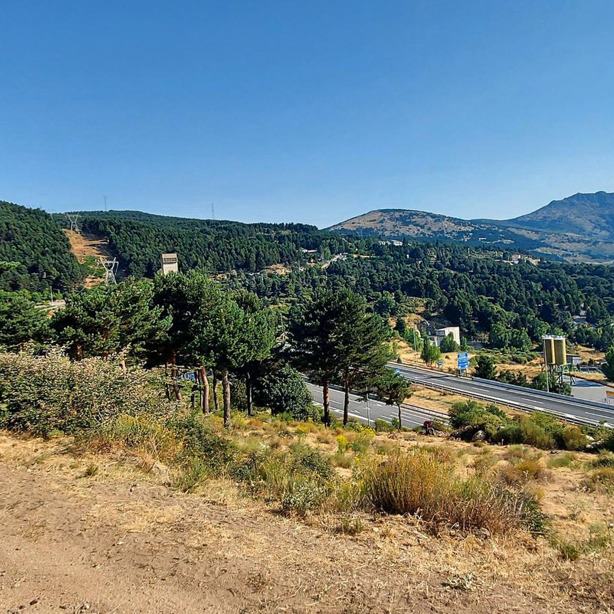
Road Cycling Routes around Guadarrama
Other adventures around Guadarrama

Tips from the Community

Going over all the peaks makes it a real adventure!!!
0
0

Strategic point from which excellent landscapes can be seen in the surrounding area.
0
0
High and difficult peak in the Sierra de Madrid, especially with clouds and winds.
0
0

This reservoir is located in the beautiful Barranca valley
0
0

Exceptional water, which even people from the village come to collect.
0
0
The Descalzo Bridge is one of the best-known bridges on the Fuenfría Roman Road in Cercedilla. Although long attributed to its Roman origin, more recent research suggests that, although the road crossed here in Roman times, the bridge itself may have been built or heavily modified in the 18th century (Bourbon era). Despite this, it is located on an important section of the Roman road that connected Segovia with Titulcia and has been restored several times, maintaining its original structure. It is a masonry bridge with a single arch and blends perfectly into the natural surroundings, being part of a popular hiking trail in the Sierra de Guadarrama. Both the bridge and the road have been declared a National Historic, Artistic, and Archaeological Site.
0
0
The Descalzo Bridge is one of the best-known bridges on the Roman Road of Fuenfría, in Cercedilla. Although long attributed to its Roman origin, more recent research suggests that, although the road crossed here in Roman times, the bridge itself may have been built or heavily modified in the 18th century (Bourbon era). Despite this, it is located on an important section of the Roman road that linked Segovia with Titulcia, and has been restored several times, maintaining its original structure. It is a masonry bridge with a single arch and blends perfectly into the natural environment, being part of a popular hiking trail in the Sierra de Guadarrama (the Schmith Way). Both the bridge and the road have been declared a National Historic, Artistic, and Archaeological Site.
0
0
The Barranca Army Reservoir, built in the 1950s in Navacerrada (Madrid), is located in the Barranca Valley, within the Upper Manzanares Basin Regional Park. It originally supplied water to a sanatorium. Today, surrounded by a valuable ecosystem, it is a place to enjoy nature and views of the Sierra de Guadarrama.
0
0
Frequently Asked Questions
What kind of mountaineering routes can I find in Guadarrama?
Guadarrama offers a diverse range of mountaineering routes, from moderate ascents to challenging technical climbs. The region is characterized by high mountain peaks like Peñalara (2,428 m), distinctive granite rock formations, especially in La Pedriza, and glacial cirques. You'll find paths leading through pine and Pyrenean oak forests at lower elevations, transitioning to high mountain scrubland higher up.
Are there any circular mountaineering routes in Guadarrama?
Yes, many of the mountaineering routes in Guadarrama are circular, allowing you to start and end at the same point. An example is the challenging Siete Picos – Second Peak – Senda Herreros loop from Estación de Camorritos, which covers 12.5 km and takes about 5 hours 39 minutes to complete.
What are the best times of year for mountaineering in Guadarrama?
Guadarrama is suitable for mountaineering year-round, but conditions vary significantly. Spring and autumn offer pleasant temperatures and vibrant landscapes. In winter, the mountains transform into an alpine climbing destination with snow and ice, providing opportunities for ascents of ice walls and gutters. Summer is ideal for high-altitude treks, though it can be hot at lower elevations.
Are there any easier mountaineering routes for beginners in Guadarrama?
While many routes are difficult, there are moderate options available. For instance, the Cerro Minguete – Montón de Trigo loop from Ferrocarril de Cotos is a moderate 10.5 km trail that can be completed in about 4 hours 44 minutes, offering a good introduction to the high mountain landscapes.
What natural features or landmarks can I expect to see along the routes?
Guadarrama is rich in natural beauty. You can encounter impressive granite rock formations, especially in La Pedriza, and glacial features like cirques and glacial lakes such as Lagunas de Peñalara. The routes also offer panoramic views from peaks like Peñalara and Bola del Mundo. You might also pass through significant mountain passes like Alto del León or Puerto de Navacerrada Ascent.
Is it possible to reach the mountaineering trailheads using public transport?
Yes, Guadarrama is well-connected to Madrid, making it accessible by public transport. Many trailheads, such as those near Cercedilla or Cotos, can be reached by train or bus, allowing for convenient access to the mountains without a car.
Are there any permits required for mountaineering in Guadarrama National Park?
Generally, no specific permits are required for hiking or mountaineering on marked trails within Guadarrama National Park. However, certain activities, such as climbing in specific areas of La Pedriza or large group activities, might require prior authorization. It's always advisable to check the official National Park regulations before your visit for any updates or specific restrictions.
What do other mountaineers enjoy most about the routes in Guadarrama?
The mountaineering routes in Guadarrama are highly rated by the komoot community, with an average score of 4.5 stars. Reviewers often praise the challenging ascents, the stunning panoramic views from the peaks, and the diverse landscapes ranging from forests to high-alpine terrain. The unique granite formations and well-preserved glacial features are also frequently highlighted.
Can I find challenging routes with significant elevation gain?
Absolutely. Guadarrama is known for its challenging routes with substantial elevation gain. For example, the La Peñota Peak – La Peñota loop from Cercedilla is a difficult 10 km path featuring over 760 meters of elevation gain, offering rewarding views from the summit.
Are there opportunities for winter mountaineering in Guadarrama?
Yes, Guadarrama is a popular destination for winter mountaineering. When snow and ice accumulate, areas like the southern side of La Maliciosa and the north-eastern slopes of La Najarra offer challenging alpine climbing routes, including ice walls and gutters. Snowshoeing and cross-country skiing are also popular winter activities.
What kind of wildlife might I encounter while mountaineering?
Guadarrama is home to a rich biodiversity, representing a significant portion of Spain's fauna. While mountaineering, you might spot Iberian ibex, roe deer, or wild boar. Birdwatchers can look out for species like the Spanish imperial eagle and Eurasian black vulture. The Iberian wolf has also returned to these mountains, though sightings are rare.
Are there any routes that lead to prominent peaks like La Maliciosa?
Yes, you can find routes that ascend to prominent peaks. The La Maliciosa (2,227 m) loop from Presa del Embalse de Navacerrada is a difficult 7.3 km route that takes you to the summit of La Maliciosa, offering spectacular views.
How many mountaineering routes are available in the Guadarrama region?
There are several mountaineering routes detailed for the Guadarrama region, with a total of 4 tours highlighted in this guide. These routes offer a variety of experiences, from moderate to difficult, catering to different skill levels.
Most popular attractions around Guadarrama

Get inspired with the komoot mobile app


Explore more
Browse the best Mountain Hikes & Routes in other regions.
