The best walks and hikes around Mamers
4.5
(2185)
12,827
hikers
449
hikes
Hiking around Mamers offers diverse landscapes within the Pays de la Loire region, particularly in the Sarthe department. The area serves as a gateway to the Normandie-Maine Regional Natural Park and Geopark, featuring bocage, forests, and riverine scenery. Hikers can explore varied terrain, including valleys, hills, and the winding courses of the Sarthe River and Chéronne Stream. The region provides a network of trails suitable for different fitness levels.
Best hiking trails in Mamers
- The most popular hiking route is…
Last updated: October 10, 2026
4.8
(119)
558
hikers
Moderate hike. Good fitness required. Easily-accessible paths. Suitable for all skill levels.
4.6
(43)
360
hikers
4.08km
01:03
20m
20m
Easy hike. Great for any fitness level. Easily-accessible paths. Suitable for all skill levels.

4.6
(33)
188
hikers
Easy hike. Great for any fitness level. Easily-accessible paths. Suitable for all skill levels.
4.1
(10)
22
hikers
11.6km
03:05
120m
120m
Moderate hike. Good fitness required. Mostly accessible paths. Sure-footedness required.
4.0
(2)
8
hikers
18.2km
04:53
220m
220m
Moderate hike. Good fitness required. Easily-accessible paths. Suitable for all skill levels.
4.3
(3)
15
hikers
10.0km
02:40
110m
110m
Moderate hike. Good fitness required. Mostly accessible paths. Sure-footedness required.
5.0
(1)
6
hikers
11.0km
02:51
70m
70m
Moderate hike. Good fitness required. Easily-accessible paths. Suitable for all skill levels.
4.0
(2)
10
hikers
5.35km
01:29
100m
100m
Easy hike. Great for any fitness level. Easily-accessible paths. Suitable for all skill levels.
4.8
(122)
629
hikers
13.0km
03:37
240m
240m
Moderate hike. Good fitness required. Easily-accessible paths. Suitable for all skill levels.
4.8
(128)
676
hikers
15.7km
04:21
280m
280m
Moderate hike. Good fitness required. Easily-accessible paths. Suitable for all skill levels.
Get access to more routes and recommendations from other explorers.
Already have an account?
Our route recommendations are based on thousands of hikes, rides, and runs completed by other people on komoot.
Start today with a free account
Your next adventure awaits.
Popular around Mamers
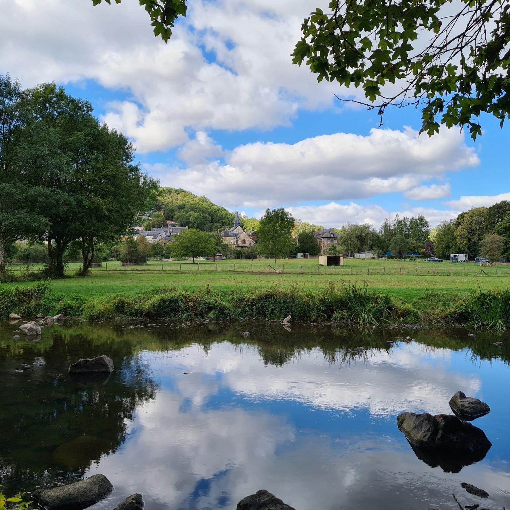
Hiking around Saint-Léonard-Des-Bois

Hiking around Saint-Paul-Le-Gaultier
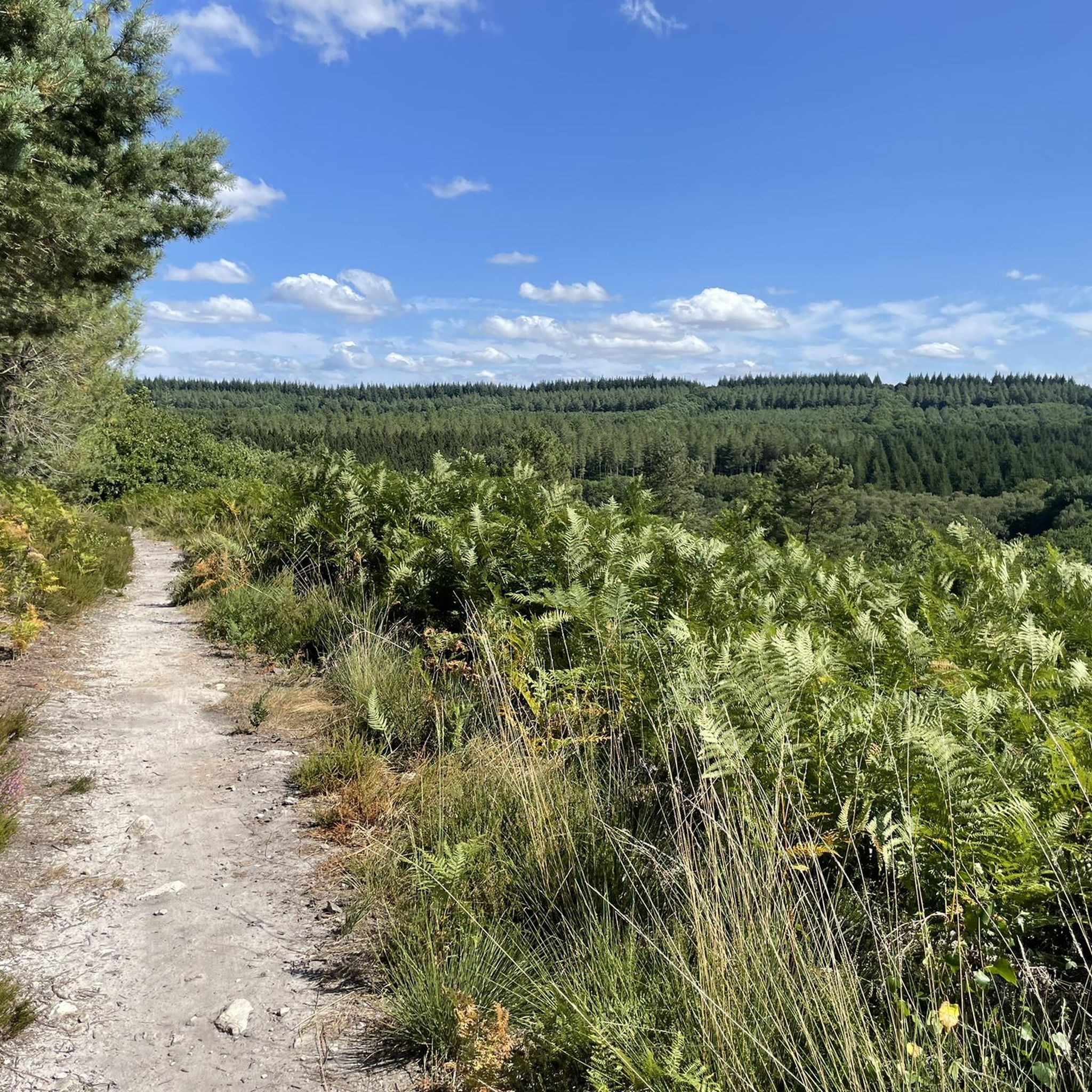
Hiking around Mont-Saint-Jean

Hiking around Sillé-Le-Guillaume
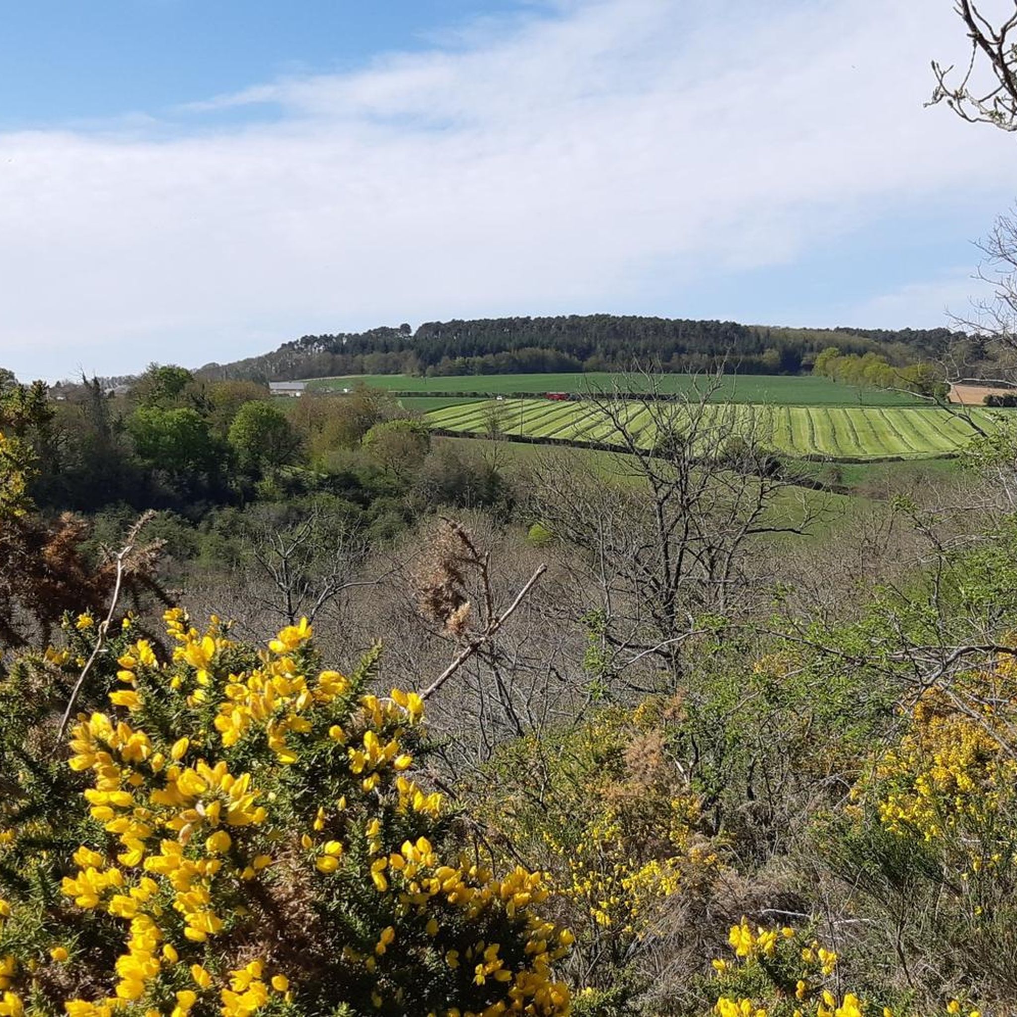
Hiking around Sougé-Le-Ganelon

Hiking around Pezé-Le-Robert
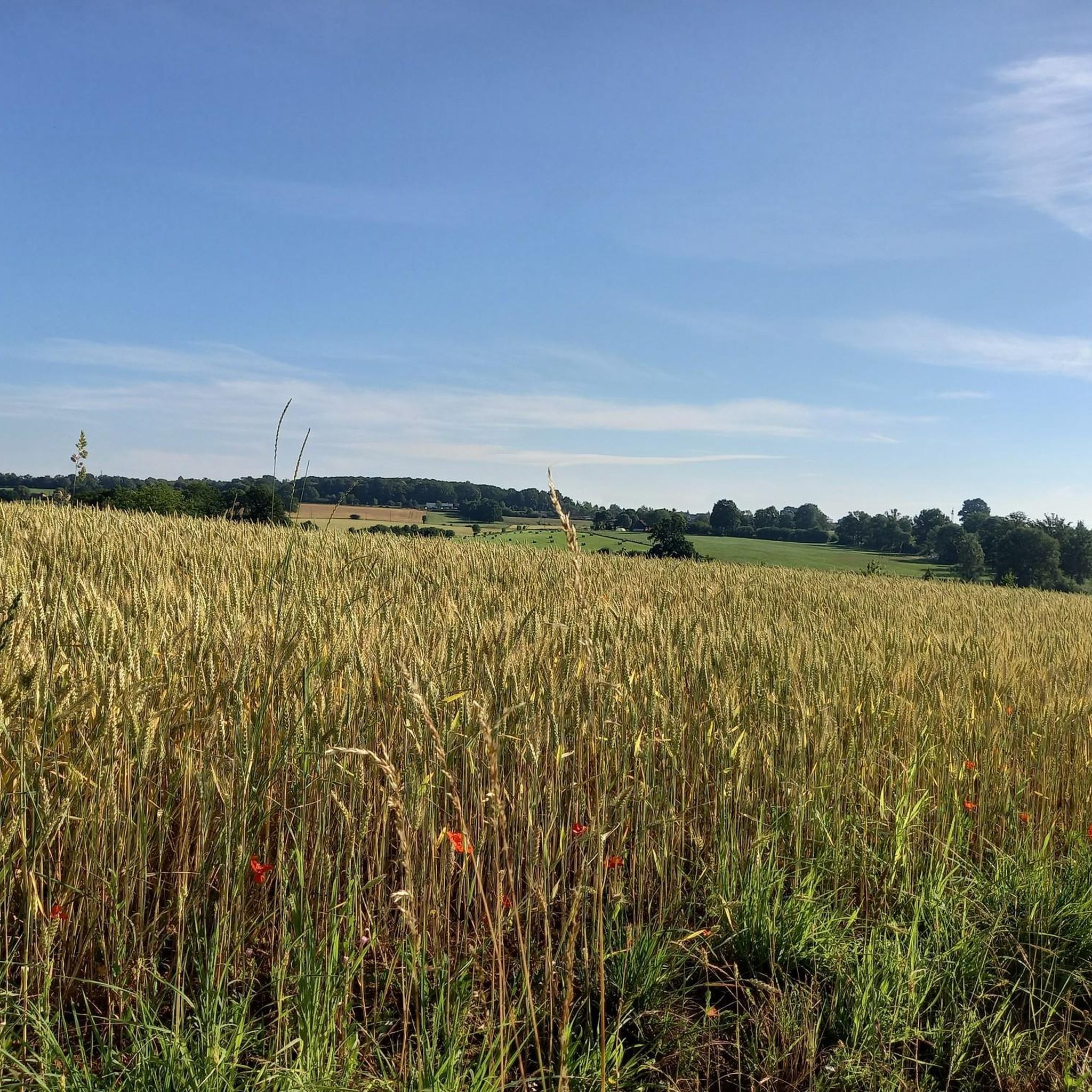
Hiking around Cures

Hiking around Saint-Georges-Le-Gaultier
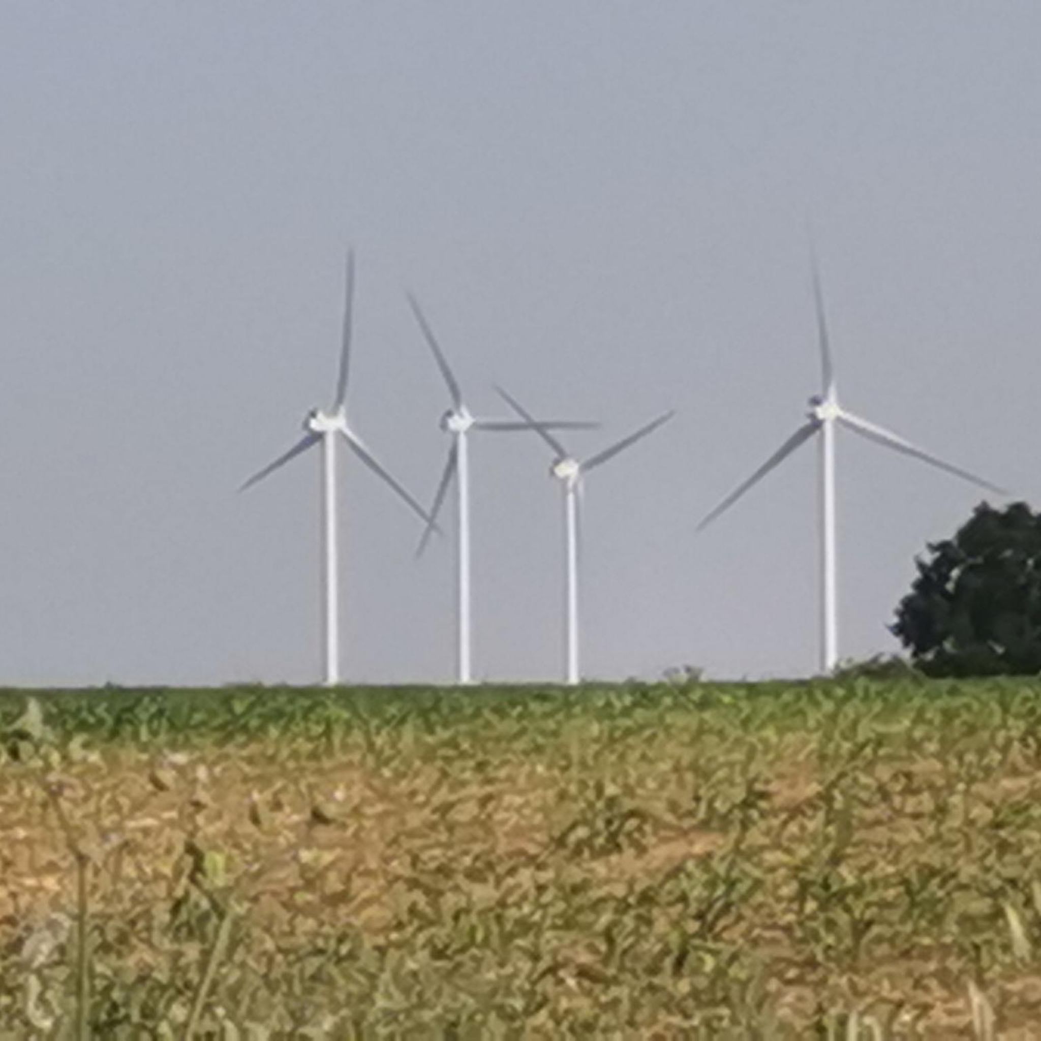
Hiking around Crissé
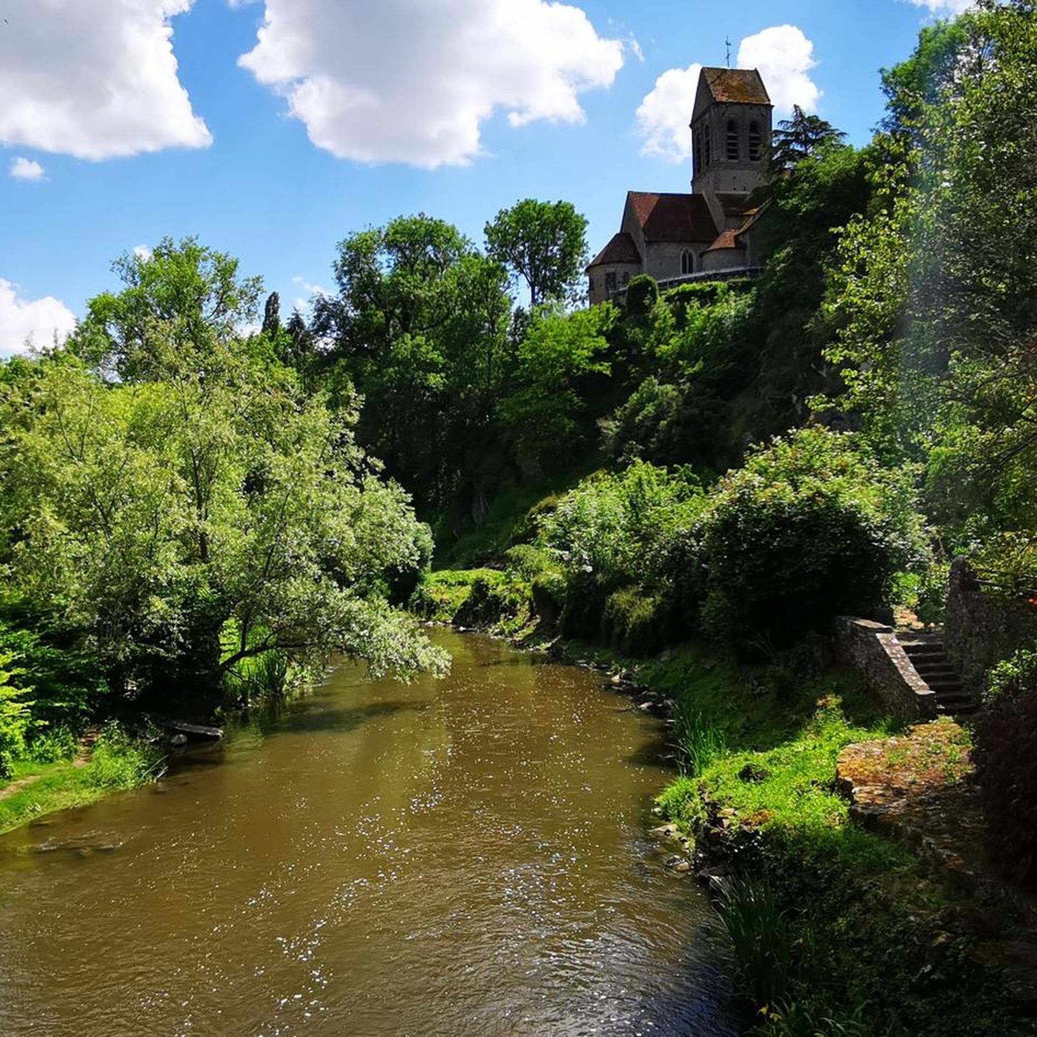
Hiking around Moulins-Le-Carbonnel
Other adventures around Mamers


Tips from the Community

Beautiful spot! The bridge itself is an old stone arch bridge. Nice to see from the bank or with your feet in the water. On the bridge, a beautiful view in both directions over the Sarhte, over the church on the rock and towards the mill and the town itself. Nice information panel. The view towards Le Pont is also picturesque!
0
0
even though the route doesn't go from one bank to another, it's still worth taking the ferry. Just fun to do, but also beautiful views.
0
0
Dam in the Sarthe. Too beautiful a place not to check out/walk around, even if you're not really going to the other side. The Sarthe splits around Les Îles de la Forge. Via a small bridge, a short detour from the route, you reach the dam, the barrage, close to the water, the water that always draws you in...
0
0

Free parking and starting point for the hike 10m away
0
0

A truly magnificent landscape
0
0

Very pretty place, nicely designed. Unfortunately, it's overcrowded with tourists. Perhaps a good stop on a hike.
0
0

very varied and pleasant hike
0
0

Frequently Asked Questions
How many hiking trails are available around Mamers?
There are over 400 hiking trails around Mamers, offering a wide variety of options for different preferences and fitness levels. These routes explore the diverse landscapes of the Pays de la Loire region.
What kind of landscapes and terrain can I expect while hiking near Mamers?
Hiking around Mamers offers diverse landscapes, from the bocage (small fields, hedges, and woodlands) and 'small mountains' within the Normandie-Maine Regional Natural Park and Geopark, to the picturesque valleys and hills of the Alpes Mancelles. You'll also find scenic routes along the Sarthe River and the Chéronne Stream, as well as trails through forests and around ponds.
Are there hiking trails suitable for all fitness levels?
Yes, the area around Mamers caters to all fitness levels. You can find over 160 easy routes for relaxed strolls, more than 230 moderate trails for a good workout, and 25 difficult routes for experienced hikers seeking a challenge. For an easy option, consider the Grand Étang Loop Trail, while the Saint-Léonard-des-Bois – Alpes mancelle viewpoint loop offers a more difficult experience.
Are there any circular hiking routes around Mamers?
Many of the hiking trails around Mamers are circular, allowing you to start and end at the same point. For example, the moderate Meanders of the Sarthe loop and the easy Butte de Narbonne et le Haute Fourché loop are both excellent circular options within the regional natural park.
What attractions or landmarks can I see along the hiking trails?
While hiking around Mamers, you can discover various points of interest. Notable attractions include historical sites like the Château de Fresnay-sur-Sarthe or the Château de Montmirail. You might also encounter charming settlements such as Saint-Cénéri-le-Gérei or Saint-Léonard-des-Bois, and enjoy panoramic views from the Perseigne Viewpoint.
Are there family-friendly hiking options in the Mamers area?
Yes, there are many family-friendly hiking options around Mamers, particularly easy routes that are shorter and have minimal elevation gain. The Grand Étang Loop Trail, for instance, is an easy 4.1 km path that circles a large pond, perfect for a relaxed outing with children. Many trails through forests and along rivers also offer pleasant and safe environments for families.
Can I bring my dog on the hiking trails near Mamers?
Generally, dogs are welcome on hiking trails in the Normandie-Maine Regional Natural Park and surrounding areas, provided they are kept on a leash. This ensures the safety of your pet, other hikers, and local wildlife. Always remember to clean up after your dog to preserve the natural environment.
What do other hikers enjoy most about hiking in Mamers?
The hiking routes around Mamers are highly rated by the komoot community, with an average score of 4.5 stars from over 900 reviews. Hikers often praise the diverse landscapes, the well-maintained and signposted trails, and the opportunity to explore both the tranquil bocage and the more varied terrain of the Alpes Mancelles.
Are there any long-distance or multi-day hiking opportunities?
While many routes are suitable for day trips, the region's extensive network of trails, especially within the Normandie-Maine Regional Natural Park and the Alpes Mancelles, allows for longer excursions. Villages like Saint-Léonard-des-Bois are suggested as stopover points for multi-day hikes, offering amenities for longer adventures.
Where can I find information about parking or public transport for trailheads?
Many trailheads in the Mamers region, especially those supported by the local tourist office, offer designated parking areas. While public transport options directly to every trailhead might be limited, the local tourist office actively supports the creation and maintenance of hiking circuits and can provide specific logistical information. For more details on local hiking, you can visit the Alpes Mancelles tourist website.
Are there any challenging hikes for experienced trekkers?
Yes, for experienced trekkers seeking a challenge, there are 25 difficult routes around Mamers. One notable difficult trail is the Saint-Léonard-des-Bois – Alpes mancelle viewpoint loop, which spans over 20 km and features significant elevation changes, offering rewarding views over the Alpes Mancelles.
What are some less-known or 'hidden gem' trails in the area?
Beyond the most popular routes, trails like the Chéronne Stream Trail offer a chance to discover local waterways and their surrounding natural environment, providing a quieter experience. Exploring the various loops within the Forêt domaniale de Sillé-le-Guillaume can also lead to serene and less crowded paths.
Most popular routes around Mamers
Most popular attractions around Mamers

Get inspired with the komoot mobile app


Didn’t find what you were looking for?
Check out more Hikes throughout Mamers below and find the perfect route in your destination.
Explore more
Browse the best Hikes in other regions.
