The best road cycling routes around Céret
4.3
(634)
22,339
riders
273
rides
Road cycling routes around Céret are situated in the foothills of the Pyrénées mountains in southern France, offering diverse terrain for cyclists. The region features varied landscapes, from the lower Pyrénées with significant elevation gains to the Tech River valley, providing less strenuous options. Cyclists can experience routes with ascents of 800-1000 meters over short distances, alongside views of Pic du Canigou. The area also offers proximity to the Mediterranean coast and opportunities to cycle through the Albères Massif, including cross-border routes into Spain.
Best road cycling routes around Céret
- The most popular road cycling route is Albera Massif Loop, a 68.8 miles (110.7 km) trail that takes 6 hours 21 minutes to complete. This difficult route features substantial climbs through the Albères Massif.
- Another top favourite among local road cyclists is Perpignan, Saint-Cyprien, and Argelès-sur-Mer Loop, a moderate 38.7 miles (62.3 km) path. This route offers a coastal experience with lower elevation gains.
- Local road cyclists also love the Céret Balcony Loop, a 7.4 miles (11.9 km) trail leading through the local hills, often completed in about 49 minutes.
- Road cycling around Céret is defined by Pyrénées foothills, the Tech Valley, and coastal paths. The network offers options for different ability levels, from easy loops to challenging mountain ascents.
- The routes in Céret are highly rated by the komoot community with an average score of 4.37 stars from over 500 reviews. More than 18000 road cyclists have used komoot to explore Céret's varied terrain.
Last updated: July 3, 2026
5.0
(7)
1,105
riders
111km
06:22
2,160m
2,160m
Cycle the difficult 68.8-mile Col de Banyuls route through Albera Natural Park, crossing from France to Spain with stunning views.
3.6
(5)
261
riders
43.9km
02:35
1,000m
1,000m
The Col de la Brousse offers a challenging yet rewarding road cycling experience, immersing you in the heart of the Mediterranean scrubland. The route is renowned for its tranquility, with almost no car traffic, allowing you to fully enjoy the views and the effort. Throughout the climb, you'll encounter numerous hairpin bends that add interest to the ascent, while roadside markers keep you informed about the altitude and gradient.
For this 43.9-kilometer route, which includes an elevation gain of 997 meters and is classified as difficult, careful planning is crucial. The ascent from Céret is the most well-known, but if you're looking for more shade and an even more picturesque landscape in the afternoon, consider starting from Maureillas. Be aware that shade is scarce in summer, so it's vital to carry enough water and protect yourself from the sun. If you plan to extend your trip into Spain, be prepared for potential gravel sections.
This mountain pass is recognized as a Category 1 climb, making it a popular objective for experienced road cyclists. Its difficulty, combined with the natural beauty of the Occitania region, establishes it as one of the best road cycling routes near the Col de la Brousse. Furthermore, its strategic location makes it an ideal starting point for exploring routes beyond the Spanish border, offering a unique cycling adventure.

Sign up for free
4.2
(5)
185
riders
46.0km
02:49
1,250m
1,250m
The ascent of Puig Neulós immerses you in a changing landscape, from the cork and pine forests offering shade and tranquility, to the expansive views from the summit. Although most of the route is well-paved, you'll encounter gravel sections and potholes, especially after the Col de l'Ouillat, which add a touch of adventure to this road cycling route. The experience is a visual journey culminating in "superb" panoramas of the Mediterranean and the Pyrenees from Puig Neulós.
This 46.0-kilometer route, with an elevation gain of 1252 meters and an estimated duration of 2 hours and 49 minutes, is classified as difficult and demands a very good level of fitness. It's crucial to plan your hydration well, taking advantage of the spring at Coll de l'Ullat to refill your bottles, especially in summer. Be aware that the asphalt near Les Cluses is "acceptable but not excellent" and some sections may have "potholes and degraded surfaces," requiring attention.
Puig Neulós, the highest peak in the Serra de l'Albera, is a natural landmark on the Franco-Spanish border, known for its antennas at the summit. The name "Neulós," meaning "cloud-covered" in Catalan, gives you a hint about the atmospheric conditions often found here. This route is an excellent option for cyclists seeking a significant challenge and the reward of unparalleled views, connecting the plains with the majesty of the Pyrenees.
4.5
(84)
2,040
riders
57.7km
03:16
1,200m
1,200m
Hard road ride. Very good fitness required. Some segments of this route may be unpaved and difficult to ride.
4.5
(61)
1,784
riders
63.6km
03:34
1,320m
1,320m
Hard road ride. Very good fitness required. Mostly well-paved surfaces and easy to ride.
3.4
(7)
70
riders
62.3km
02:34
310m
310m
This moderate 38.7-mile (62.3 km) road cycling route between Perpignan and Argelès offers diverse landscapes from vineyards to coastal views
4.6
(17)
1,635
riders
108km
06:04
2,080m
2,080m
Hard road ride. Very good fitness required. Some segments of this route may be unpaved and difficult to ride.
3.0
(4)
75
riders
35.0km
02:21
1,130m
1,130m
Hard road ride. Very good fitness required. Some segments of this route may be unpaved and difficult to ride.
4.6
(7)
75
riders
34.1km
01:45
630m
630m
This moderate 21.2-mile (34.1 km) road cycling route from Castelnou via Caixas offers scenic mountain views and a rewarding challenge.
4.5
(4)
57
riders
48.0km
02:50
1,170m
1,180m
This difficult 29.8-mile (48.0 km) road cycling loop around Arles-sur-Tech climbs 3853 feet (1174 metres) to the Sagué Pass.
Get access to more routes and recommendations from other explorers.
Sign up for free
Already have an account?
Our route recommendations are based on thousands of hikes, rides, and runs completed by other people on komoot.
Start today with a free account
Your next adventure awaits.
Login or Signup
Popular around Céret
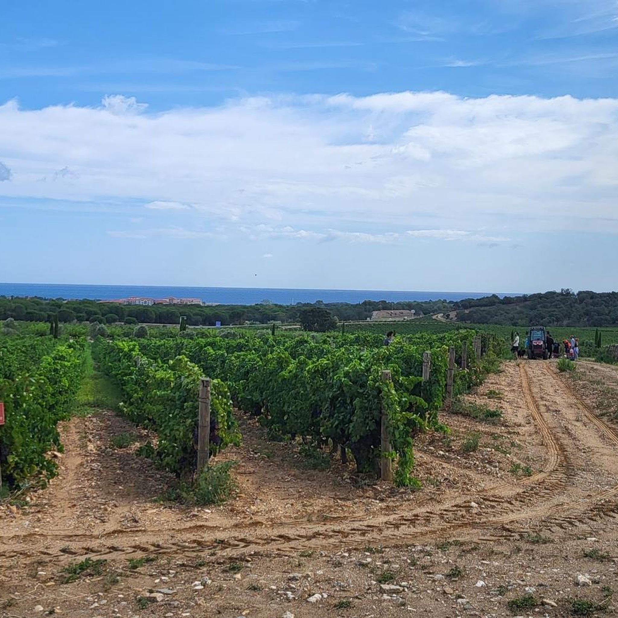
Road Cycling Routes around Argelès-Sur-Mer
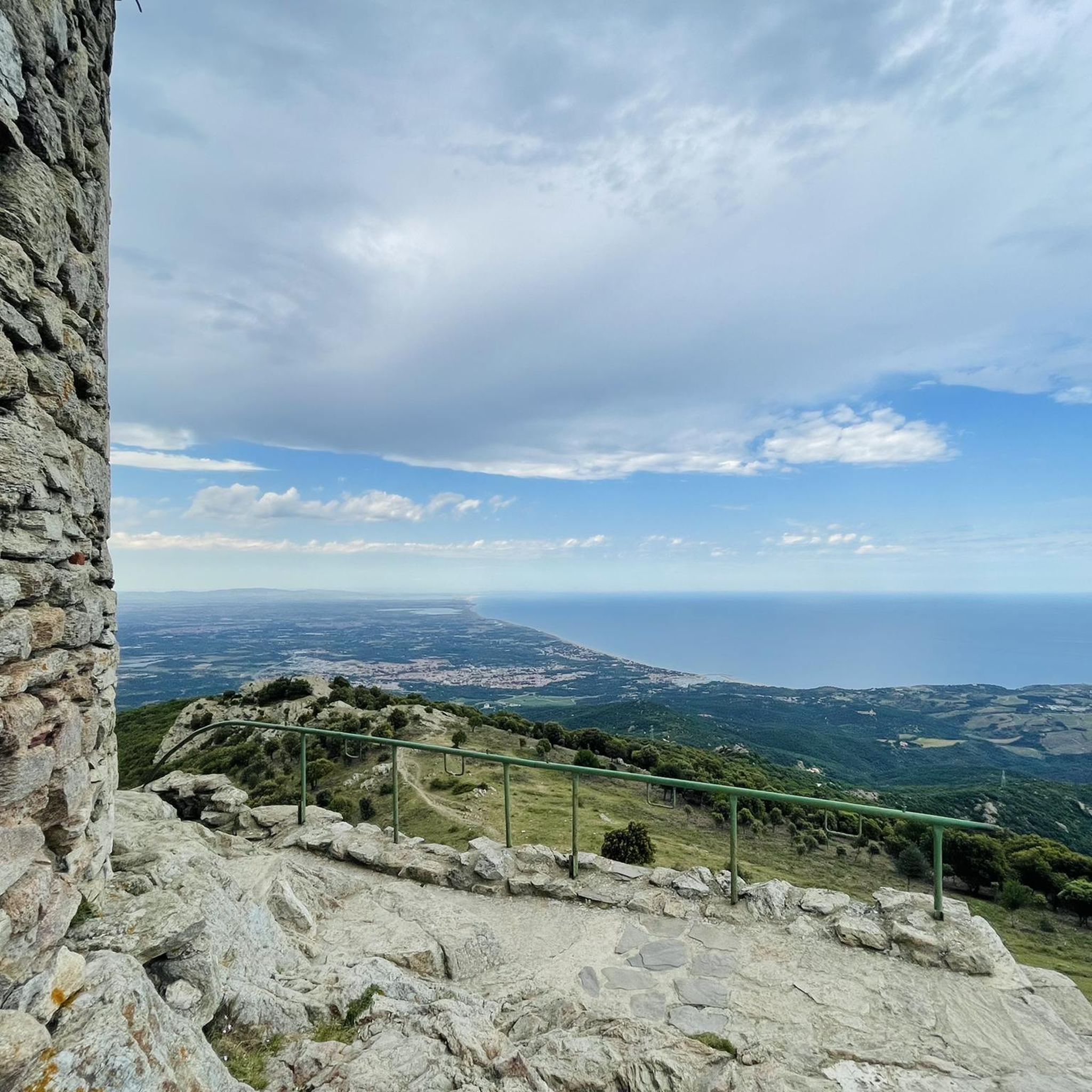
Road Cycling Routes in Réserve Naturelle De La Forêt De La Massane
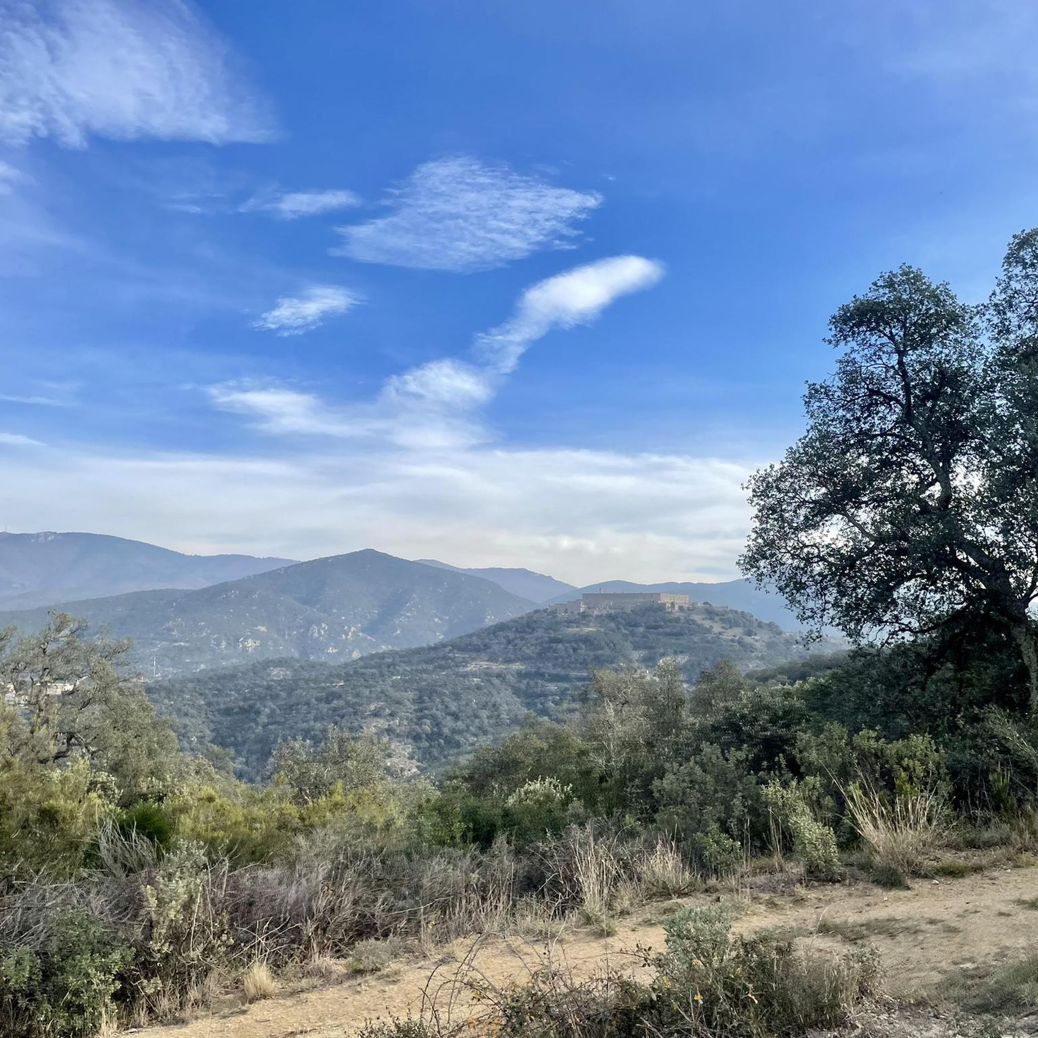
Road Cycling Routes around Maureillas-Las-Illas
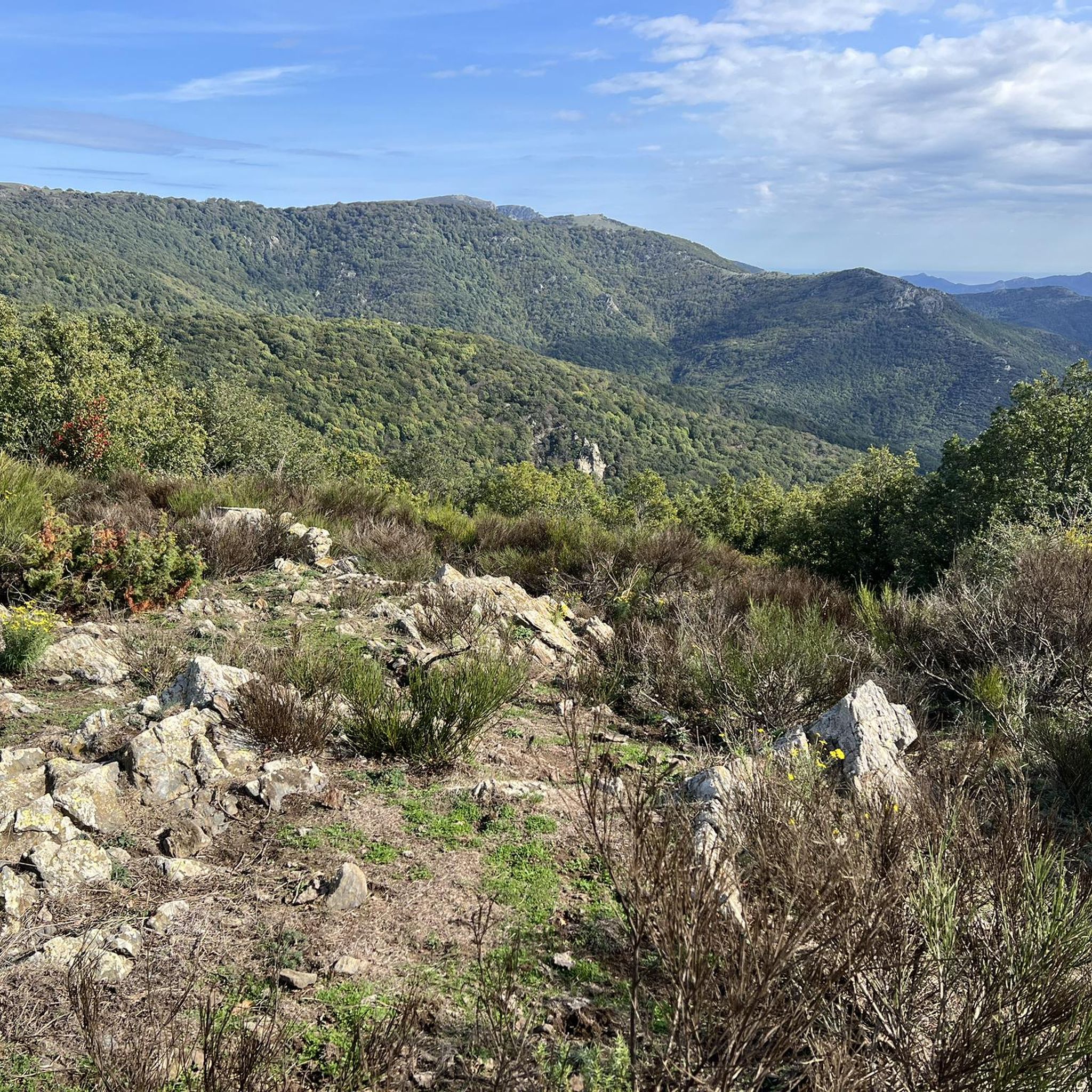
Road Cycling Routes around L'Albère
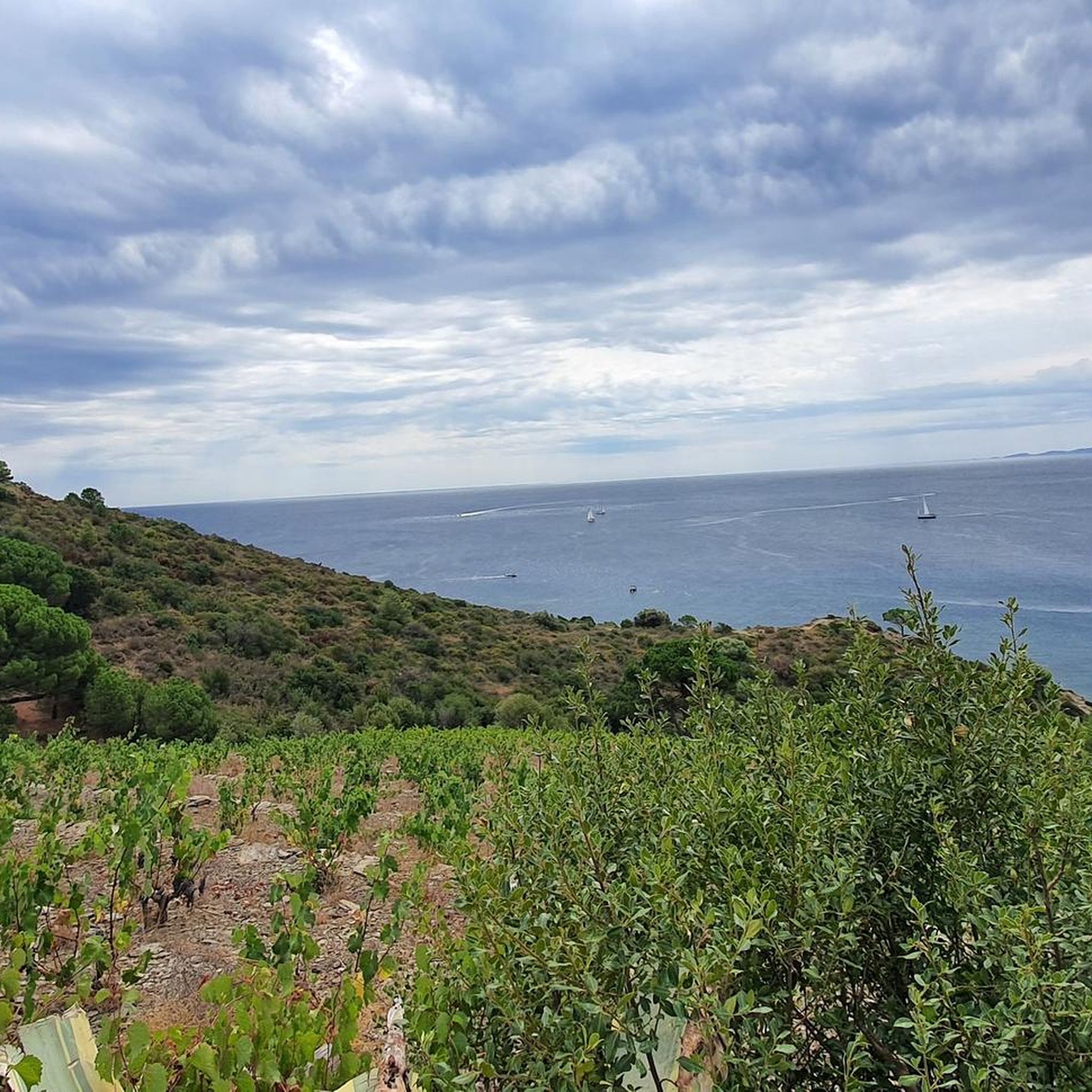
Road Cycling Routes around Port-Vendres
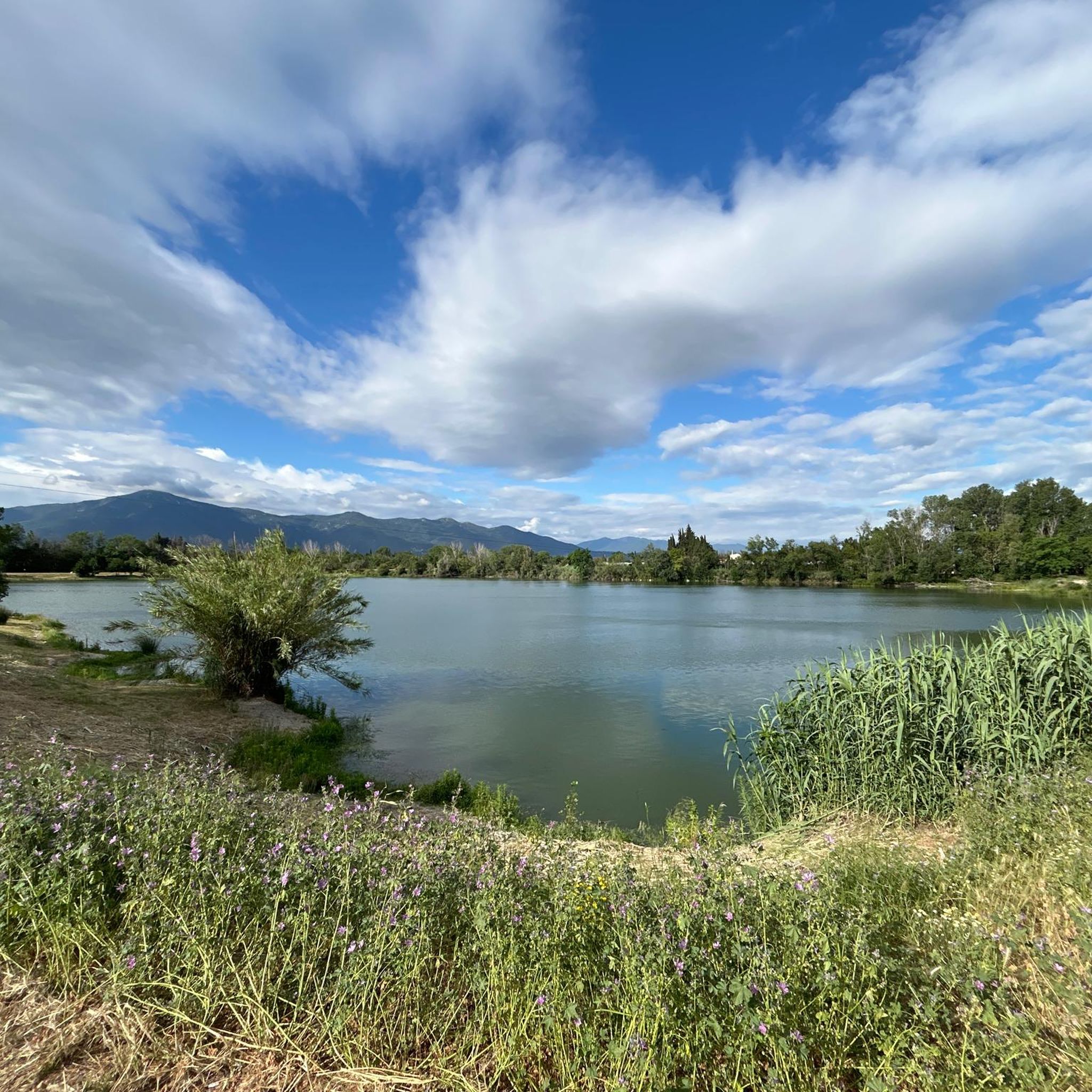
Road Cycling Routes around Palau-Del-Vidre
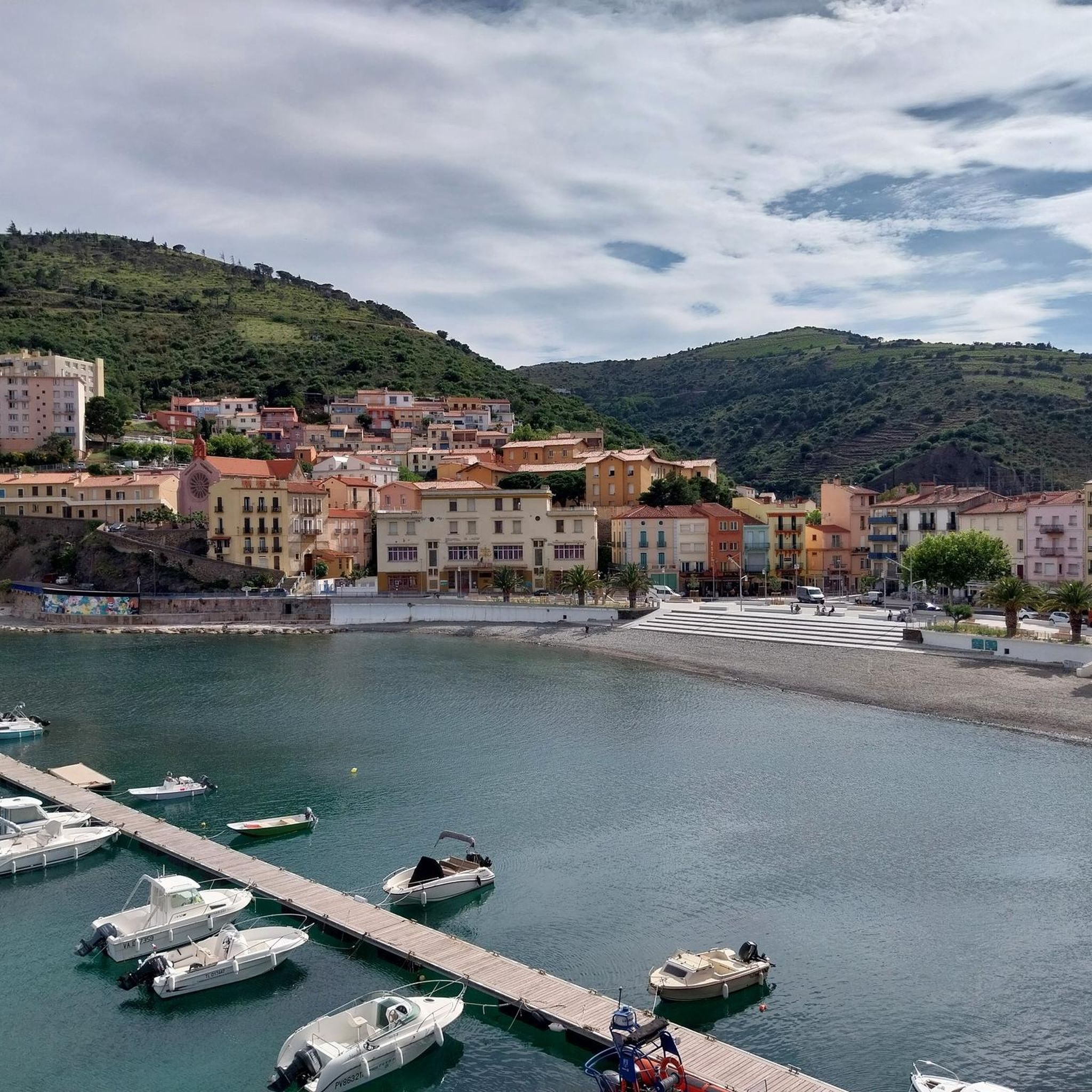
Road Cycling Routes around Cerbère
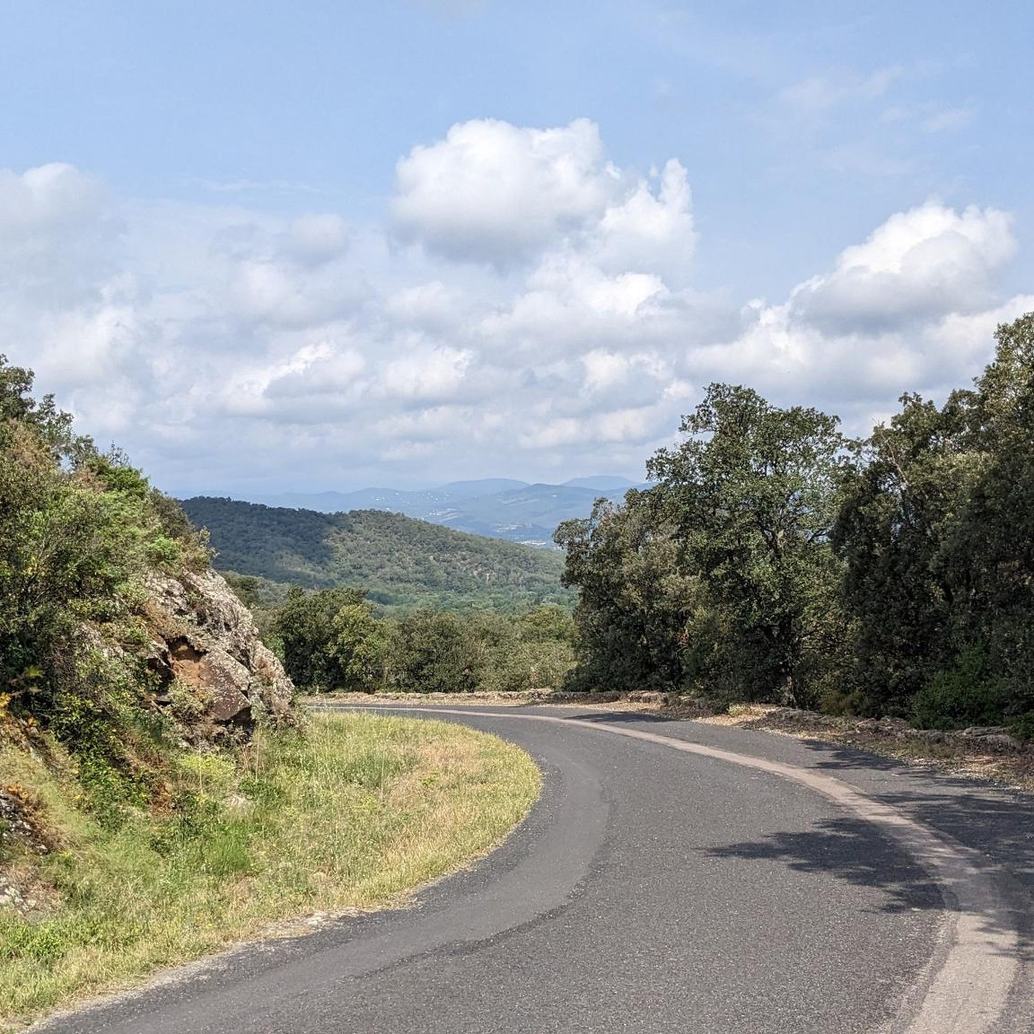
Road Cycling Routes around Les Cluses
Road Cycling Routes around Banyuls-Sur-Mer
Road Cycling Routes around Vivès
Other adventures around Céret


Tips from the Community

Irregular pass on its ascent from its eastern side, little frequented.
0
0

Beautiful climb with good surface and sea view
0
0
Beautiful route and a great view
0
0

Accessible pass, with patience ok for all levels even beginners
0
0

Collioure, the sea and Fort Saint Elme. This road winds under the Douy viaduct and allows you to reach the center of Collioure.
0
0
Frequently Asked Questions
How many road cycling routes are available around Céret?
There are over 260 road cycling routes around Céret, offering a wide range of options for different skill levels. This includes 35 easy routes, 151 moderate routes, and 79 difficult routes, ensuring there's something for every cyclist.
What kind of terrain can I expect when road cycling around Céret?
Céret's road cycling terrain is highly diverse. You can expect challenging climbs through the Pyrénées foothills and the Albères Massif, with some routes gaining 800-1000 meters in elevation. Alternatively, you'll find gentler rides along the Tech River valley and options to incorporate coastal paths near the Mediterranean.
Are there challenging road cycling routes with significant climbs near Céret?
Yes, Céret is an excellent base for challenging climbs. Routes like the Albera Massif Loop feature substantial ascents, covering 2157 meters of elevation gain over 110.7 km. Other difficult routes include the col de la Brousse and The climb of Puig Neulós, offering panoramic views, including glimpses of Pic du Canigou.
Are there any easier, less strenuous road cycling options around Céret?
Absolutely. For a more relaxed ride, consider routes along the Tech River valley. The Céret Balcony Loop is an easy 11.9 km trail with moderate elevation, often completed in under an hour. The region also offers routes like the 'Céret to the path of Vives' which are suitable for all fitness levels.
What natural features or viewpoints can I enjoy on road cycling routes in Céret?
Road cycling routes around Céret offer stunning natural features. You can experience views of the sacred Catalan mountain, Pic du Canigou, on higher ascents. The Albères Massif provides scenic loops, and you can also find mountain passes like Banyuls Pass and Ullat Pass. The proximity to the Mediterranean also means coastal views are accessible on some routes.
Are there any historical or cultural landmarks accessible by road bike near Céret?
Yes, many routes allow you to incorporate cultural stops. Céret Old Town itself, with its medieval ramparts and the historic Devil's Bridge (Pont du Diable), is a charming starting point. You can also cycle through picturesque villages and discover local markets and the Museum of Modern Art in Céret.
Are there family-friendly road cycling routes suitable for all ages around Céret?
For families, routes with minimal traffic and gentler gradients are ideal. The 'Céret to the path of Vives' is a good example of an easy route. While the Céret Balcony Loop is easy, always check the specific route details for elevation and traffic conditions to ensure it suits your family's abilities.
Can I do cross-border road cycling routes from Céret into Spain?
Yes, Céret's location at the base of the Albères Massif allows for cross-border cycling into Spain. Routes like those traversing the Col d'Ares offer opportunities for international excursions. The 'Pirinexus' is also a major cycling route that connects the Girona region and the Costa Brava in Spain with Southern France.
Are there road cycling routes that offer coastal views near Céret?
While Céret is inland, it's only about 25 miles from the Mediterranean coast. You can find routes that extend to the coast, such as the Perpignan, Saint-Cyprien, and Argelès-sur-Mer Loop, which offers a coastal experience with lower elevation gains. The coastal path from Argelès-sur-Mer to Cerbère also provides stunning sea views.
What do other cyclists say about road cycling in Céret?
The road cycling routes around Céret are highly rated by the komoot community, with an average score of 4.37 stars from over 500 reviews. More than 18,000 road cyclists have used komoot to explore Céret's varied terrain, often praising the diverse landscapes and the quiet roads right outside the town.
Where can I rent a road bike in Céret?
Céret has services catering to cyclists. You can find bike rental options, such as Fun Bike Center, which offers various bikes, including electric mountain bikes, and can provide guidance on local trails.
When is the best time of year for road cycling in Céret?
Céret generally offers pleasant cycling conditions for much of the year. Spring and autumn are often ideal, with milder temperatures and beautiful scenery. Summers can be warm, especially in the valleys, but higher elevation routes offer cooler air. Winters are generally mild, making cycling possible year-round, though some higher passes might be affected by weather.
Most popular routes around Céret
Most popular attractions around Céret

Get inspired with the komoot mobile app


Didn’t find what you were looking for?
Check out more Road cycling routes throughout Céret below and find the perfect route in your destination.
Explore more
Browse the best Road cycling routes in other regions.
