The best running trails around Saclay
4.3
(1113)
53,991
runners
20
runs
Jogging around Saclay offers diverse natural landscapes and engaging environments for runners. The region is characterized by the gently undulating topography of the Plateau de Saclay, featuring open agricultural lands interspersed with forests. A unique hydraulic system of ponds and man-made channels, known as "rigoles," provides numerous accessible paths for running. Additionally, Saclay's proximity to the Parc Naturel Régional de la Haute Vallée de Chevreuse and various wooded areas offers opportunities for varied terrain and scenic running routes.
Best jogging routes around Saclay
- The most popular jogging route is Buc Viaduct loop from Vauboyen, a 12.4 miles (19.9 km) trail that takes 2 hours 20 minutes to complete. This route features historical elements of the Aqueduct of Buc and varied terrain.
- Another top favourite among local runners is Aqueduc de Buc – Aqueduct of Buc loop from Vauboyen, a difficult 19.8 miles (31.8 km) path. This route follows the historic aqueduct, offering scenic views along its extensive structure.
- Local runners also love the Local Yum loop from Bures-sur-Yvette, a 4.6 miles (7.4 km) trail leading through pleasant wooded areas, often completed in about 52 minutes.
- Jogging around Saclay is defined by its historic hydraulic system, expansive agricultural plateau, and diverse forests and ponds. The network offers options for different ability levels, from flat paths along rigoles to more challenging trails in natural parks.
- The routes in Saclay are highly rated by the komoot community with an average score of 4.4 stars from over 1000 reviews. More than 50000 runners have used komoot to explore Saclay's varied terrain.
Last updated: October 7, 2026
3.0
(1)
84
runners
9.87km
01:03
80m
80m
Moderate run. Good fitness required. Mostly paved surfaces. Suitable for all skill levels.
5.0
(1)
50
runners
9.31km
01:00
20m
20m
Moderate run. Good fitness required. Mostly paved surfaces. Suitable for all skill levels.

28
runners
Moderate run. Good fitness required. Mostly paved surfaces. Suitable for all skill levels.
19
runners
24.8km
02:46
200m
200m
Hard run. Very good fitness required. Sure-footedness, sturdy shoes and alpine experience required.
19
runners
12.7km
01:21
110m
110m
Moderate run. Good fitness required. Mostly paved surfaces. Suitable for all skill levels.
Get access to more routes and recommendations from other explorers.
Already have an account?
Our route recommendations are based on thousands of hikes, rides, and runs completed by other people on komoot.
Start today with a free account
Your next adventure awaits.
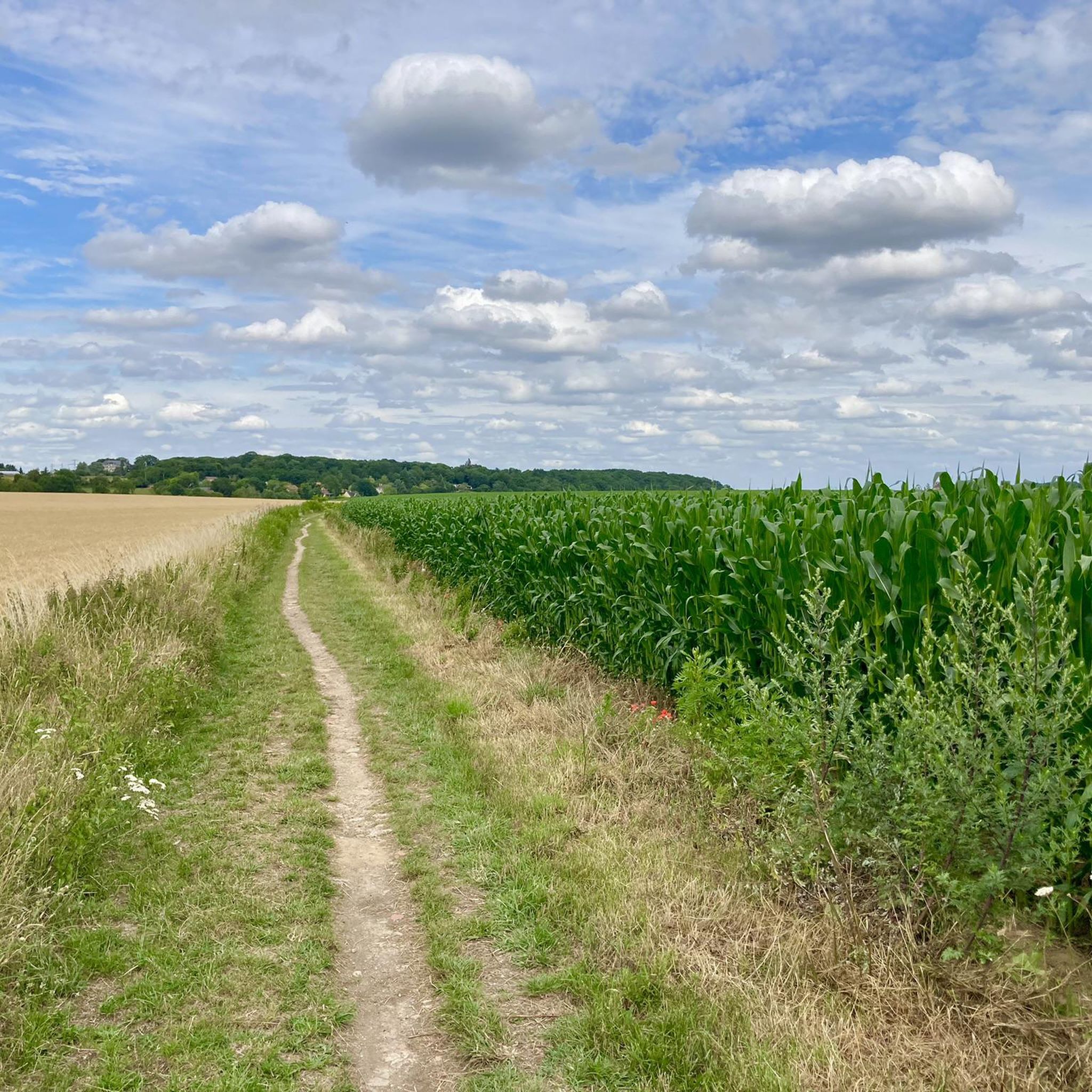
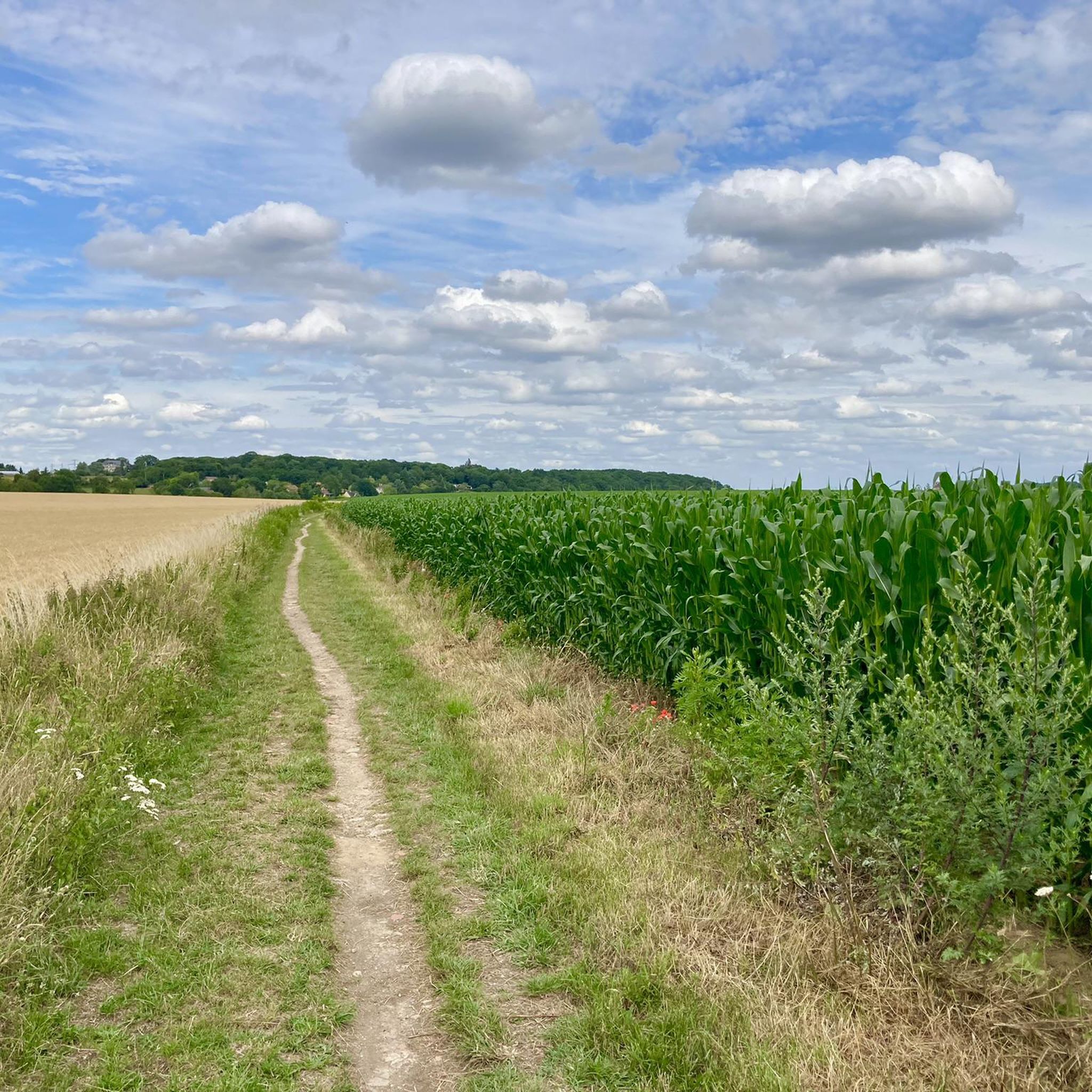
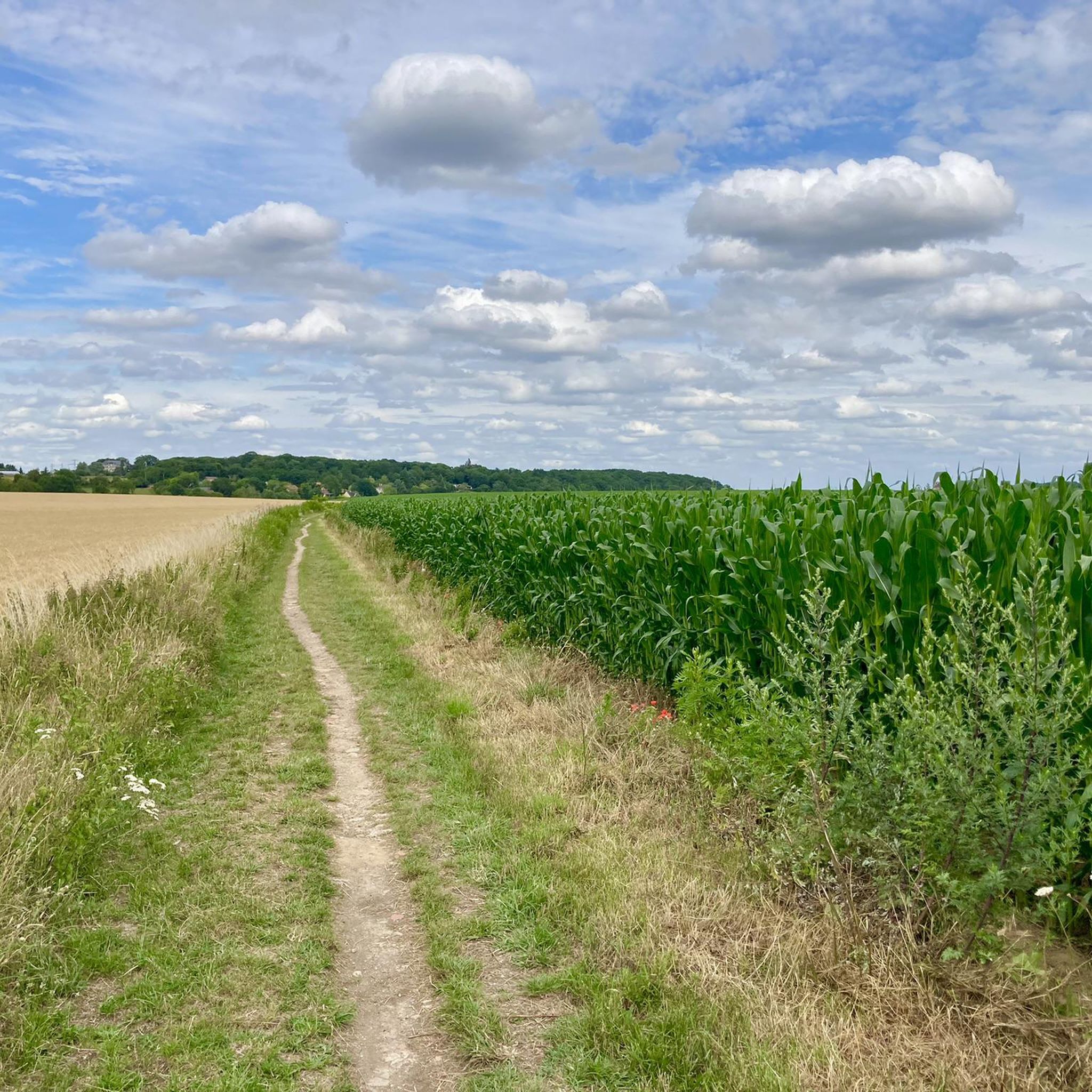
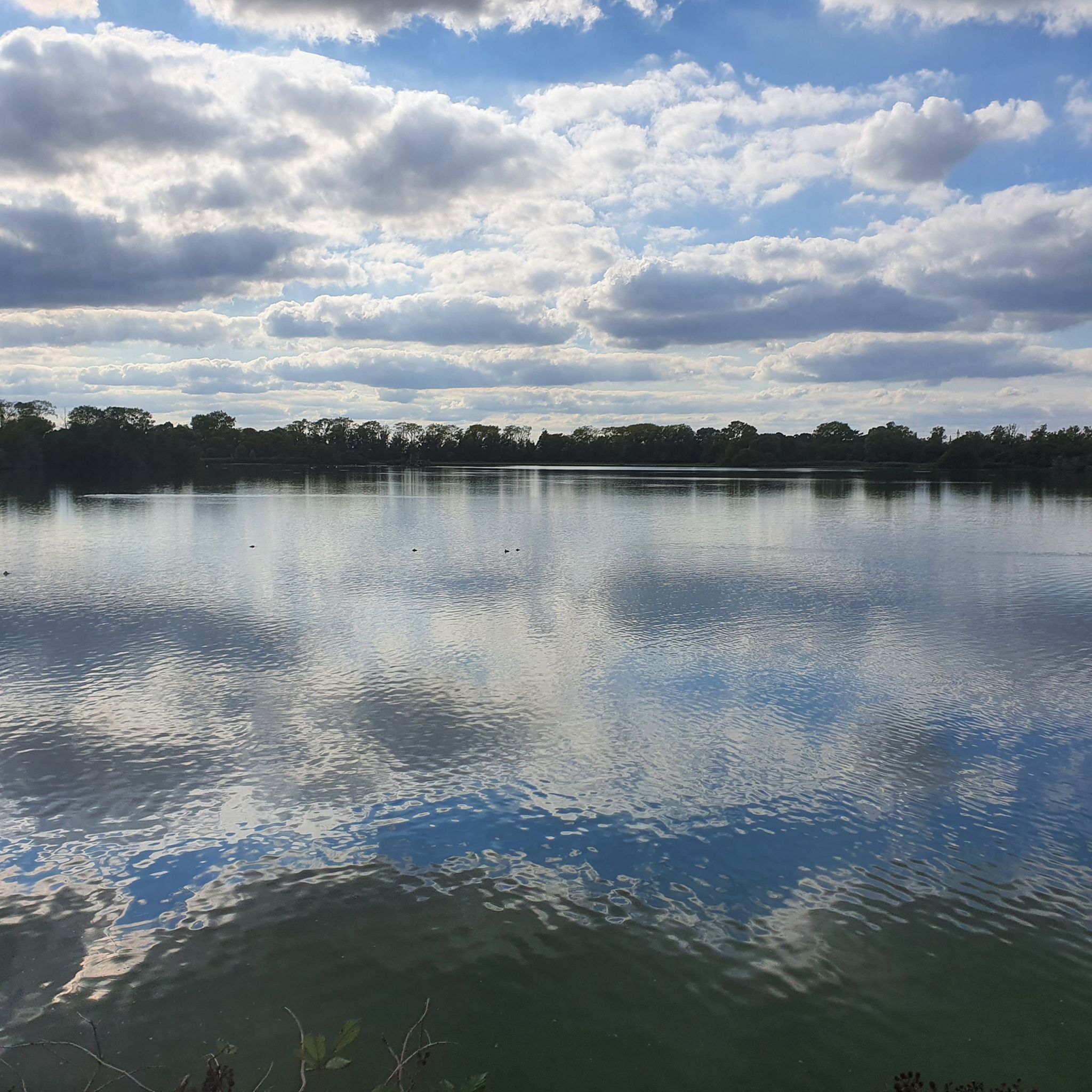
Tips from the Community


Allows you to quickly and safely connect Jouy and Bièvre. For gravel/mountain bikes, it is more pleasant to take the path that passes through the fields along the INRA.
0
0


Beautiful hill next to the stairs. Ideal for cardio training.
3
0
Jacques Anquetil stele
0
0

Usually muddy course but it's starting to dry out...it's cool.
0
0

Frequently Asked Questions
How many running routes are available in Saclay?
Saclay offers a wide variety of running routes, with over 700 options available on komoot. These range from easy strolls to challenging long-distance runs, catering to all fitness levels.
What kind of running routes can I find in Saclay regarding difficulty?
Saclay provides a diverse range of running routes. You'll find approximately 60 easy routes, over 500 moderate routes, and more than 120 difficult trails. This variety ensures options for beginners, experienced runners, and those seeking a challenge.
Are there any easy running routes suitable for beginners in Saclay?
Yes, Saclay has numerous easy running routes perfect for beginners or those looking for a relaxed jog. For example, the Étang de Villiers loop from Bures-sur-Yvette is a moderate 8.2 km (5.1 miles) path that offers a pleasant experience around the pond with minimal elevation gain.
What are the most scenic running routes in Saclay?
Many routes in Saclay offer beautiful scenery. The region is known for its unique hydraulic system of ponds and channels, like the Rigole Domaniale Path, which provides tranquil runs amidst historical markers. The Buc Viaduct loop from Vauboyen is a popular choice, featuring historical elements of the Aqueduct of Buc and varied terrain.
Are there any family-friendly running trails in Saclay?
Saclay's gently undulating terrain and well-maintained paths make it suitable for family-friendly runs. The paths along the historic 'rigoles' (channels) are often flat and accessible, providing a safe and enjoyable environment for families to jog together. Look for routes marked as 'easy' or 'moderate' for the best family experience.
Can I bring my dog on the running trails in Saclay?
Many of Saclay's natural spaces, including paths along the Plateau de Saclay and within wooded areas, are generally dog-friendly. However, it's always recommended to keep your dog on a leash, especially in nature reserves like the Étang Vieux, and to check specific trail regulations for any restrictions.
What natural features can I expect to see while running in Saclay?
Saclay's running routes showcase a rich tapestry of natural features. You'll encounter the open agricultural landscapes of the Plateau de Saclay, historic hydraulic systems with ponds and 'rigoles', and diverse forests. The Étang Vieux de Saclay is a nature reserve known for its birdlife, offering a peaceful environment for outdoor enthusiasts.
Are there any circular running routes in Saclay?
Yes, many running routes in Saclay are designed as circular loops, allowing you to start and finish at the same point. For instance, the Local Yum loop from Bures-sur-Yvette is a popular circular trail leading through pleasant wooded areas.
What do other runners enjoy most about jogging in Saclay?
The running routes in Saclay are highly rated by the komoot community, with an average score of 4.4 stars from over 1000 reviews. Runners often praise the diverse natural landscapes, the tranquility of the historic hydraulic system paths, and the variety of terrain, from flat stretches to minor inclines, suitable for different fitness levels.
Are there any interesting landmarks or attractions near the running routes in Saclay?
Yes, Saclay's routes are often close to historical and natural landmarks. You can find impressive structures like the Aqueduct of Buc, which is featured on routes such as the Aqueduc de Buc – Aqueduct of Buc loop from Vauboyen. Additionally, nearby attractions include the magnificent Palace of Versailles and various natural monuments like the Latona Fountain.
What is the typical terrain like for running in Saclay?
The terrain in Saclay is quite varied. You'll find flat gravel surfaces along the historic 'rigoles' and around fields, as well as gently undulating paths across the Plateau de Saclay. For those seeking more challenge, the proximity to the Parc Naturel Régional de la Haute Vallée de Chevreuse offers opportunities for trail running through forests and past historical sites.
Are there opportunities for trail running in Saclay?
Absolutely. While the Plateau de Saclay offers more open and gently rolling terrain, the region's proximity to the Parc Naturel Régional de la Haute Vallée de Chevreuse provides extensive opportunities for trail running. This park features vast woods, forests, and valleys with numerous trails suitable for longer, more challenging countryside runs.
Most popular attractions around Saclay

Get inspired with the komoot mobile app


Explore more
Browse the best Running Trails & Routes in other regions.
