The best walks and hikes around Sarrigné
4.6
(186)
1,087
hikers
91
hikes
Hiking around Sarrigné offers a network of trails characterized by its generally flat to gently rolling terrain, often featuring paths through woodlands and along waterways. The region's landscape includes areas like the Bois de la Haye and routes that follow river courses, providing varied natural settings for outdoor activity. With minimal elevation changes, many routes are accessible and suitable for a range of hikers. The area provides opportunities to explore the local natural environment on well-defined paths.
Best hiking trails…
Last updated: July 2, 2026
5.0
(3)
12
hikers
15.8km
04:08
110m
110m
Moderate hike. Good fitness required. Easily-accessible paths. Suitable for all skill levels.
5.0
(2)
12
hikers
11.9km
03:07
90m
90m
Moderate hike. Good fitness required. Easily-accessible paths. Suitable for all skill levels.

Sign up for free
5.0
(1)
8
hikers
4.81km
01:13
10m
10m
Easy hike. Great for any fitness level. Easily-accessible paths. Suitable for all skill levels.
5.0
(2)
8
hikers
6.54km
01:39
10m
10m
Easy hike. Great for any fitness level. Easily-accessible paths. Suitable for all skill levels.
4.0
(1)
4
hikers
6.27km
01:36
20m
20m
Easy hike. Great for any fitness level. Easily-accessible paths. Suitable for all skill levels.
Get access to more routes and recommendations from other explorers.
Sign up for free
Already have an account?
Our route recommendations are based on thousands of hikes, rides, and runs completed by other people on komoot.
Start today with a free account
Your next adventure awaits.
Login or Signup


Tips from the Community

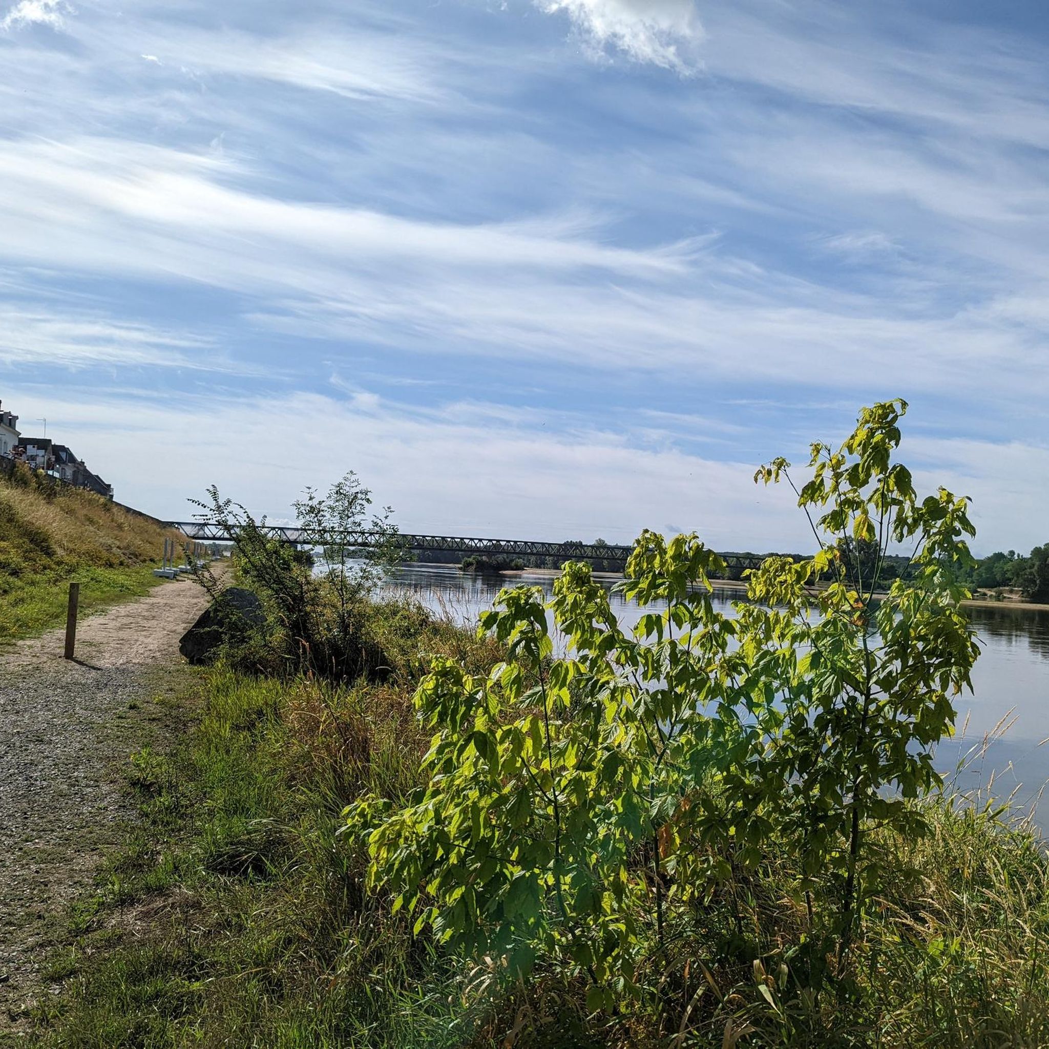
Beautiful hike along the Authion on practicable paths VTC or VTT. Only a tree lying down following the storm and impossible to circumvent, forced me to a small climb with the bike under my arm!
0
0

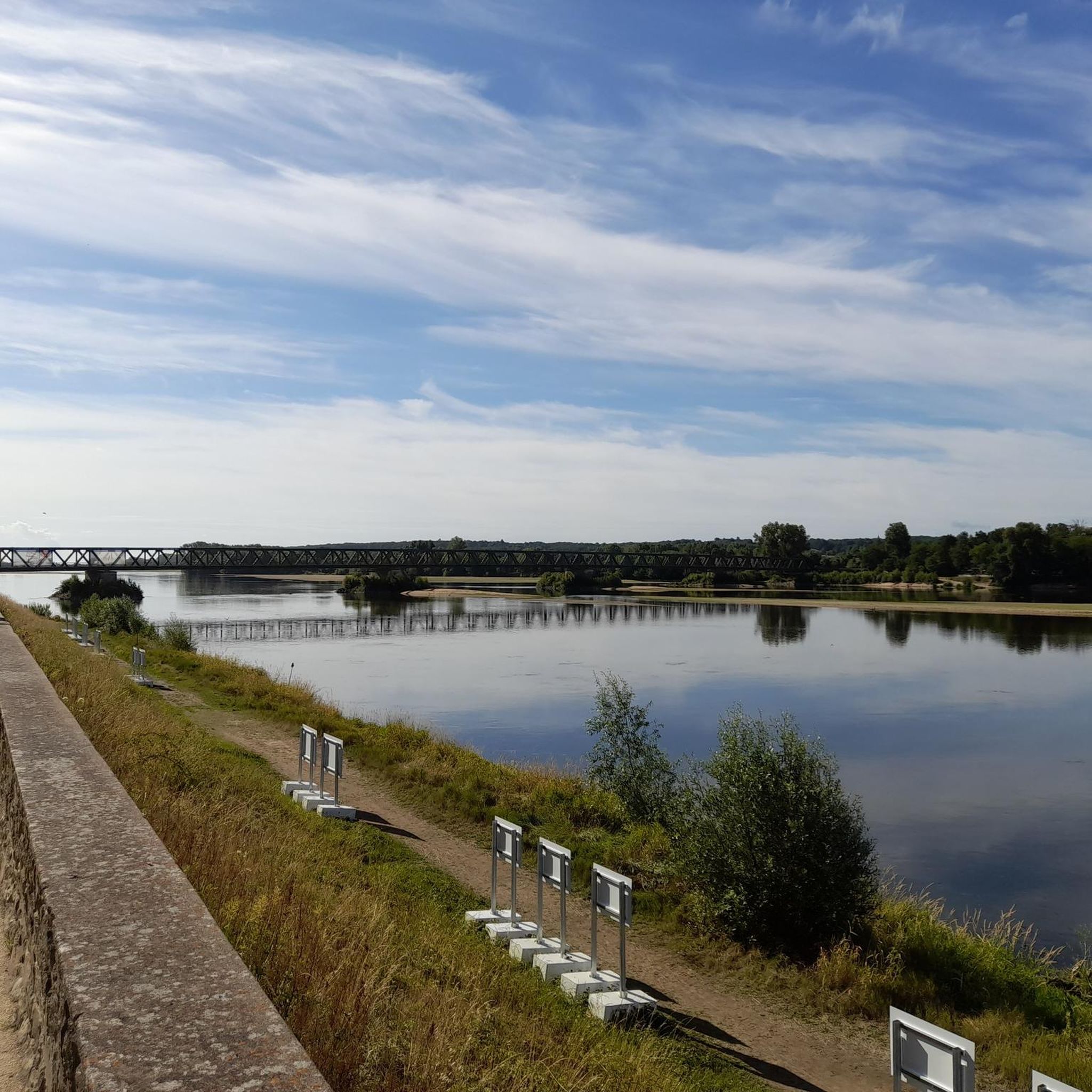
A great place to have lunch (there are tables in the parc) or enjoying the view on the Authion river.
0
0
Frequently Asked Questions
How many hiking trails are available around Sarrigné?
Sarrigné offers a wide selection of hiking routes, with over 75 trails to explore. These include 41 easy routes and 33 moderate options, catering to various fitness levels.
What is the best time of year to go hiking in Sarrigné?
The region around Sarrigné, characterized by generally flat to gently rolling terrain, is suitable for hiking throughout much of the year. Spring and autumn offer pleasant temperatures and vibrant scenery, while summer provides longer daylight hours. Even in winter, the well-defined paths through woodlands and along waterways can be enjoyed, as significant snow or ice is uncommon.
Are there any easy hikes suitable for beginners or a relaxed stroll?
Yes, Sarrigné has 41 easy routes perfect for beginners or those seeking a relaxed walk. A good option is the Between River and Forest loop from Corné, which is 4.1 miles (6.5 km) and takes about 1 hour 39 minutes, offering gentle paths through riverine and forested areas.
Are there any circular walks around Sarrigné?
Many of the trails around Sarrigné are designed as circular routes, allowing you to start and end at the same point. For example, the Yellow violet with 2 shortcuts loop from Corné is a popular 9.9-mile (15.9 km) circular trail, offering a moderate challenge.
What kind of terrain can I expect on hikes in Sarrigné?
The terrain around Sarrigné is generally flat to gently rolling, with minimal elevation changes. You can expect paths through woodlands, along river courses, and across open countryside. The routes are typically well-defined, making for accessible and enjoyable walks.
What do other hikers enjoy most about the trails in Sarrigné?
The hiking trails in Sarrigné are highly rated by the komoot community, with an average score of 4.6 stars from over 160 reviews. Hikers often praise the region's accessible forest trails, gentle river paths, and the variety of natural settings available for outdoor activity.
Are there any family-friendly hiking options in Sarrigné?
Absolutely. With 41 easy routes and generally gentle terrain, many trails are suitable for families. The Between River and Forest loop from Loire Valley is a shorter, easy option at 3.2 km (2 miles), taking less than an hour, perfect for a family outing.
Are dogs allowed on the hiking trails in Sarrigné?
While specific regulations can vary, generally, dogs are welcome on most public hiking trails in the Sarrigné region, especially if kept on a leash. The natural settings of woodlands and open paths are ideal for walks with your canine companion. Always ensure to clean up after your dog.
What interesting landmarks or attractions can I see near the hiking trails?
While hiking around Sarrigné, you can explore several interesting points. Consider visiting the historic Château de Villevêque, or experience the unique Roche Foulques Chain Ferry. The Riverside Path Along the Loire and Horse Meadows also offers scenic views.
How long do hikes around Sarrigné typically take?
Hikes around Sarrigné vary in length and duration. You can find shorter routes like the Bois de la Haye loop from Pellouailles-les-Vignes, which is 6.3 km (3.9 miles) and takes about 1 hour 36 minutes. Longer, moderate trails such as the Yellow violet with 2 shortcuts loop from Cornillé-les-Caves can take around 3 hours 8 minutes for 12 km (7.4 miles).
Is there parking available near the trailheads in Sarrigné?
Parking availability varies by trailhead, but many starting points for hikes in the Sarrigné area, especially those near villages like Corné or Cornillé-les-Caves, offer designated parking areas. It's advisable to check specific route details on komoot for parking recommendations for your chosen trail.
Most popular attractions around Sarrigné

Get inspired with the komoot mobile app


Explore more
Browse the best Hikes in other regions.
