The best walks and hikes around Dietweiler
4.5
(1954)
8,748
hikers
612
hikes
Hiking around Dietweiler offers a network of trails through varied landscapes, featuring a mix of forested sections and open paths. The terrain typically consists of well-maintained paths, with elevation changes generally gentle, making the area accessible for different hiking abilities. Routes often connect historical landmarks such as the Old Tower of Dietwiller and the Liberty Lime Tree. The region provides accessible paths and a mix of open and wooded areas for exploration.
Best hiking trails around Dietweiler
- The most popular…
Last updated: October 18, 2026
4.3
(6)
20
hikers
9.79km
02:39
130m
130m
Moderate hike. Good fitness required. Easily-accessible paths. Suitable for all skill levels.
5.0
(2)
20
hikers
Easy hike. Great for any fitness level. Easily-accessible paths. Suitable for all skill levels.

5.0
(2)
10
hikers
11.6km
03:07
140m
140m
Moderate hike. Good fitness required. Easily-accessible paths. Suitable for all skill levels.
4.0
(1)
10
hikers
8.02km
02:10
110m
110m
Moderate hike. Good fitness required. Easily-accessible paths. Suitable for all skill levels.
7
hikers
7.24km
01:56
80m
80m
Easy hike. Great for any fitness level. Easily-accessible paths. Suitable for all skill levels.
Get access to more routes and recommendations from other explorers.
Already have an account?
Our route recommendations are based on thousands of hikes, rides, and runs completed by other people on komoot.
Start today with a free account
Your next adventure awaits.
Tips from the Community

Magnificent multi-stemmed, centuries-old lime tree
0
0

Near Mulhouse, in the countryside, this tree is worth the detour during a bike ride!
0
0
Nice path which connects the three villages: Dietwiller, Schlierbach and Landser
0
0
Pretty chapel erected in homage to the Despite-We.
0
0

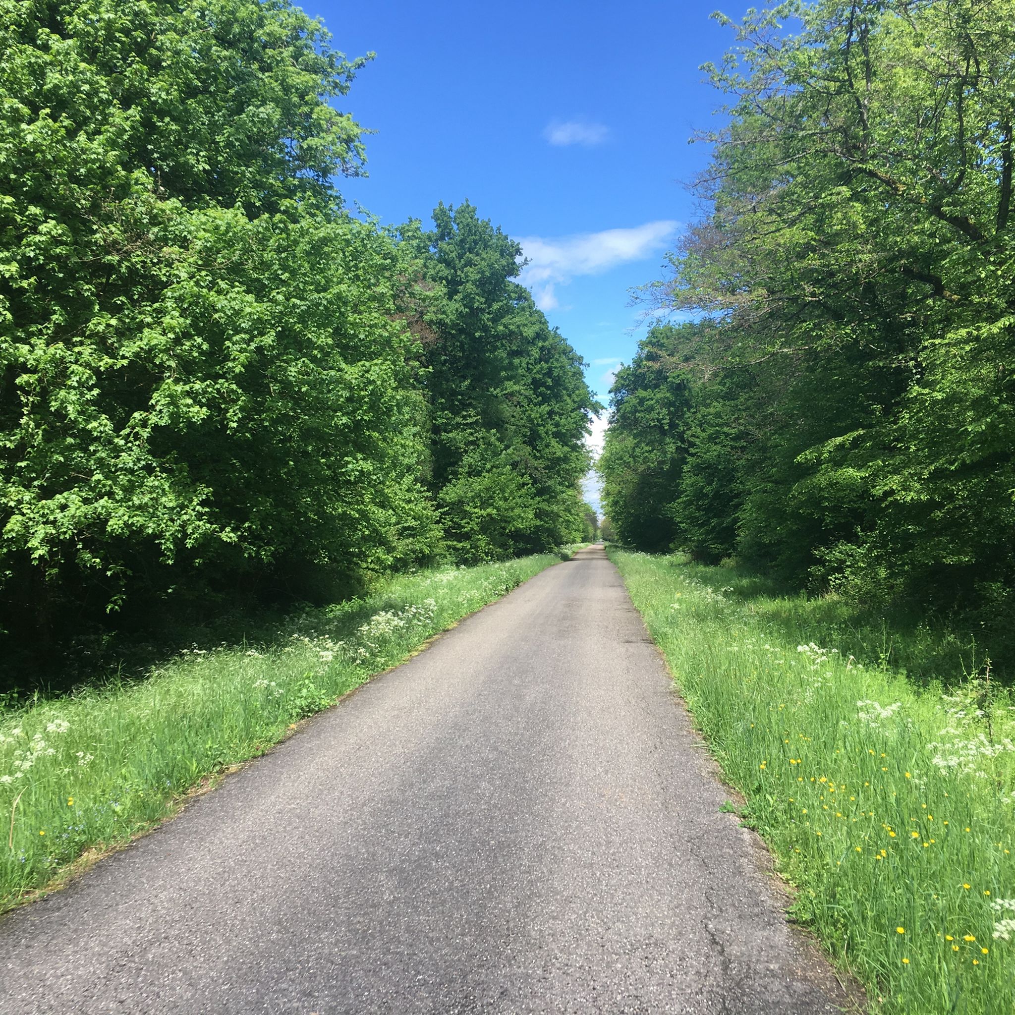
The paved bike path leads directly along the forest past a small chapel. Benches invite you to take a breather and there is a nice relaxed atmosphere. When driving fast, it's just a nice change from the otherwise beautiful nature.
0
0

Well maintained place of worship. Behind it is a beautiful forest with the possibility of a circular walk with a vita parcour...
0
1

Why the Valley of Tears? The area is however nice on a bike ;)
1
0
Frequently Asked Questions
How many hiking trails are available in Dietweiler?
Dietweiler offers a comprehensive network of over 500 hiking routes. These trails cater to various preferences, ranging from easy strolls to more moderate excursions, ensuring there's something for every hiker.
What kind of terrain can I expect on Dietweiler's hiking trails?
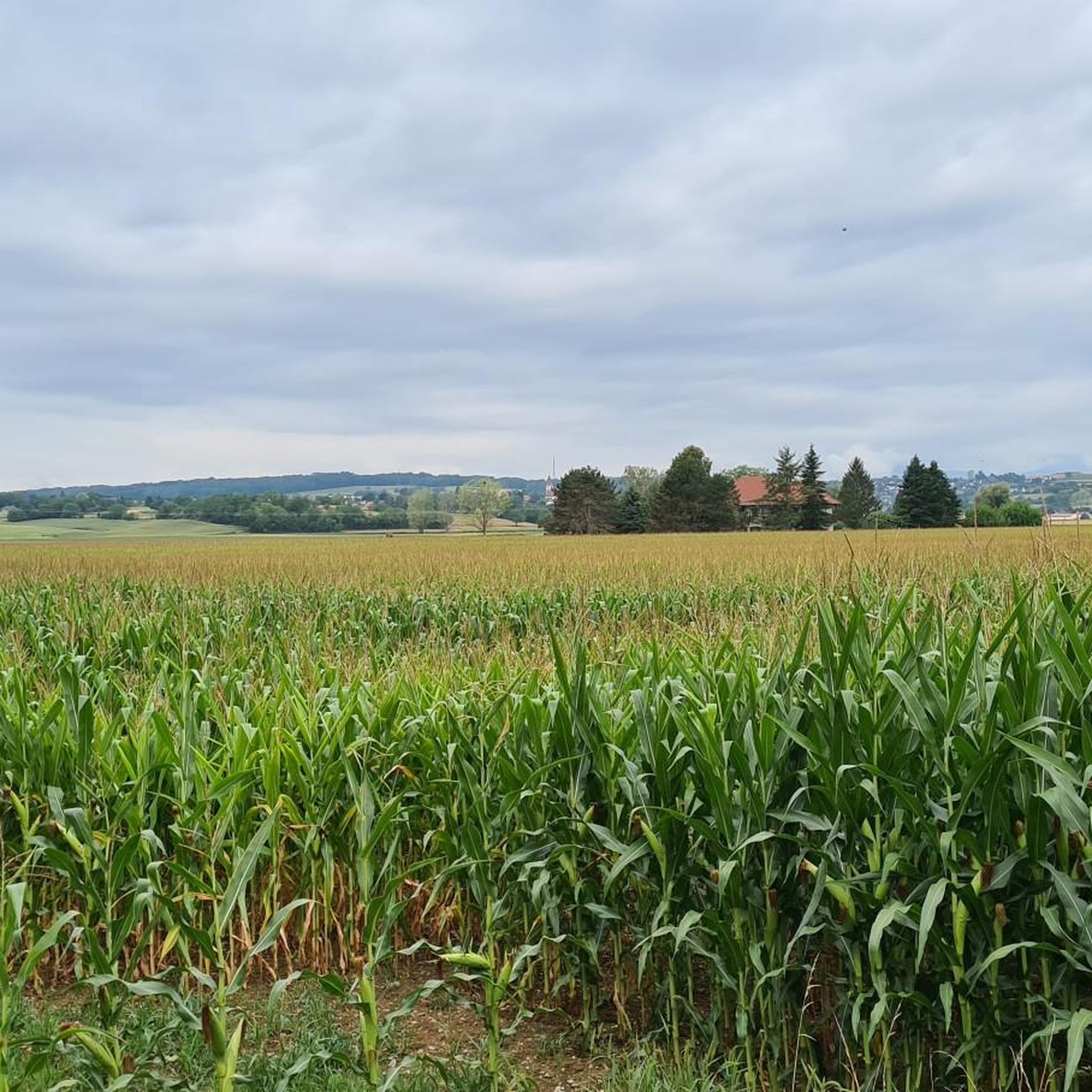
The terrain in Dietweiler typically features well-maintained paths through a mix of forested sections and open areas. Elevation changes are generally gentle, making the area accessible for different hiking abilities. You'll find paths suitable for exploring the local surroundings without overly strenuous climbs.
Are there any easy hiking trails suitable for beginners in Dietweiler?
Yes, Dietweiler is very welcoming for beginners and those looking for easier walks. Over 280 of the available routes are classified as easy. A great option is the Old Tower of Dietwiller – Liberty Lime Tree (1792) loop from Mulhouse, an easy 3.7-mile path that allows for a quicker exploration of historical landmarks.
Can I find circular hiking routes in Dietweiler?
Absolutely. Many of Dietweiler's trails are designed as loops, allowing you to start and end at the same point. Popular circular routes include the Liberty Lime Tree (1792) – Old Tower of Dietwiller loop from Mulhouse and the Trail loop from Le Chalendon, offering varied scenery and historical points of interest.
What historical landmarks or points of interest can I see while hiking in Dietweiler?
Hiking in Dietweiler often connects you with local history. You can explore significant landmarks such as the Old Tower of Dietwiller and the Liberty Lime Tree (1792). Additionally, nearby natural monuments like the Istein Rapids and the Isteiner Klotz and the Cliff Chapel offer further points of interest.
Are there any family-friendly hiking options in Dietweiler?
Given the generally gentle elevation changes and the abundance of easy trails (over 280), Dietweiler is well-suited for family outings. Routes like the Old Tower of Dietwiller – Liberty Lime Tree (1792) loop from Mulhouse are shorter and less strenuous, making them ideal for families with children.
Are Dietweiler's hiking trails dog-friendly?
While specific regulations for dogs on Dietweiler's trails are not detailed, many natural areas in the region generally welcome well-behaved dogs on a leash. It's always advisable to check local signage at trailheads for any specific restrictions or requirements before heading out with your canine companion.
What do other hikers say about the trails in Dietweiler?
The hiking trails in Dietweiler are highly regarded by the komoot community, boasting an average rating of 4.6 stars from over 1,400 reviews. More than 7,400 hikers have explored the area using komoot, often praising the accessible paths, historical points of interest, and the pleasant mix of open and wooded areas.
What is the best time of year to go hiking in Dietweiler?
Dietweiler's trails are enjoyable throughout much of the year. The mix of open and wooded areas provides pleasant conditions in spring and autumn with changing foliage. Summers are generally mild for hiking, and some trails may be suitable for winter walks, though conditions can vary.
Are there any longer, more challenging hikes in Dietweiler?
While many trails are easy to moderate, Dietweiler does offer options for those seeking a longer outing. For example, the Trail loop from Le Chalendon is 7.1 miles long and takes around 3 hours to complete, providing a more extended exploration of the local scenery.
Are there any natural monuments or scenic viewpoints near Dietweiler's hiking trails?
Yes, the area around Dietweiler features several natural monuments and scenic spots. You can visit the impressive Istein Rapids or explore the unique geological formation of the Isteiner Klotz and the Cliff Chapel. For panoramic views, consider the View of the Kapf Limestone Quarry (Isteiner Kalkwerke).
What is the difficulty distribution of hikes in Dietweiler?
Dietweiler offers a diverse range of hiking difficulties. Approximately 289 routes are easy, 218 are moderate, and 22 are classified as difficult. This variety ensures that hikers of all experience levels can find suitable trails.
Most popular routes around Dietweiler
Most popular attractions around Dietweiler

Get inspired with the komoot mobile app


Explore more
Browse the best Hikes in other regions.
