The best road cycling routes around Wittelsheim
4.5
(802)
24,369
riders
12
rides
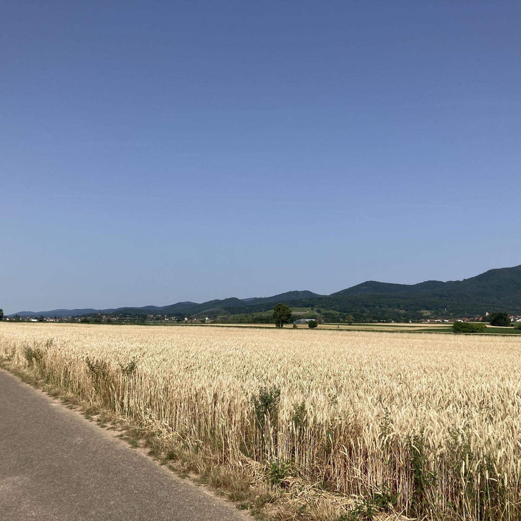
Road cycling routes around Wittelsheim traverse a landscape characterized by river valleys, agricultural plains, and gentle rolling hills. The region offers a mix of dedicated cycle paths and quiet country roads, connecting local towns and natural areas. Road cyclists can expect varied terrain, from flat sections along waterways to moderate ascents in the surrounding countryside.
Best road cycling routes around Wittelsheim
- The most popular road cycling route is Thur Rapids – Cernay - Vieux-Thann loop from Graffenwald, an easy…
Last updated: July 5, 2026
5.0
(1)
30
riders
31.6km
01:19
100m
100m
Easy road ride. Great for any fitness level. Mostly well-paved surfaces and easy to ride.
12
riders
30.2km
01:24
200m
200m
Moderate road ride. Great for any fitness level. Some segments of this route may be unpaved and difficult to ride.

Sign up for free
7
riders
Moderate road ride. Great for any fitness level. Some segments of this route may be unpaved and difficult to ride.
5.0
(1)
8
riders
121km
05:17
940m
940m
Hard road ride. Very good fitness required. Mostly well-paved surfaces and easy to ride.
4
riders
60.7km
02:19
110m
110m
Moderate road ride. Good fitness required. Mostly well-paved surfaces and easy to ride.
Get access to more routes and recommendations from other explorers.
Sign up for free
Already have an account?
Our route recommendations are based on thousands of hikes, rides, and runs completed by other people on komoot.
Start today with a free account
Your next adventure awaits.
Login or Signup

Tips from the Community

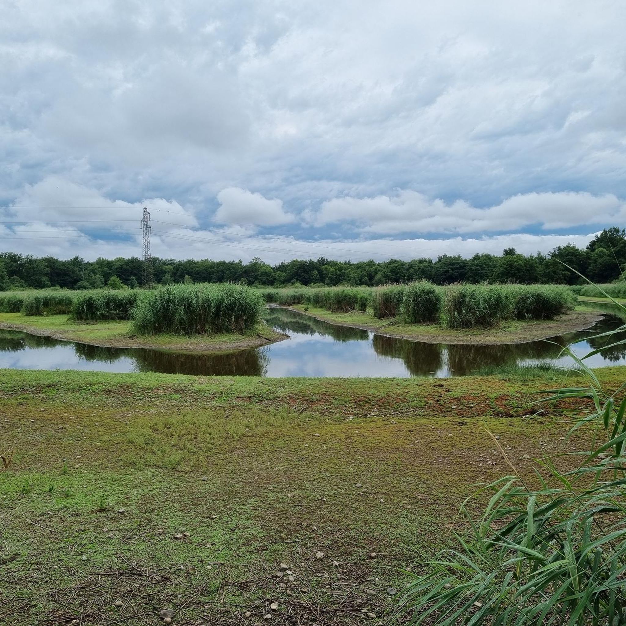
The Thur rises in the Vosges at the foot of the Ballon d'Alsace and flows for around 53 kilometers through Alsace. It crosses picturesque towns like Thann and Cernay before flowing into the Ill near Ensisheim. The river shapes the landscape, nature, and recreation equally.
0
0

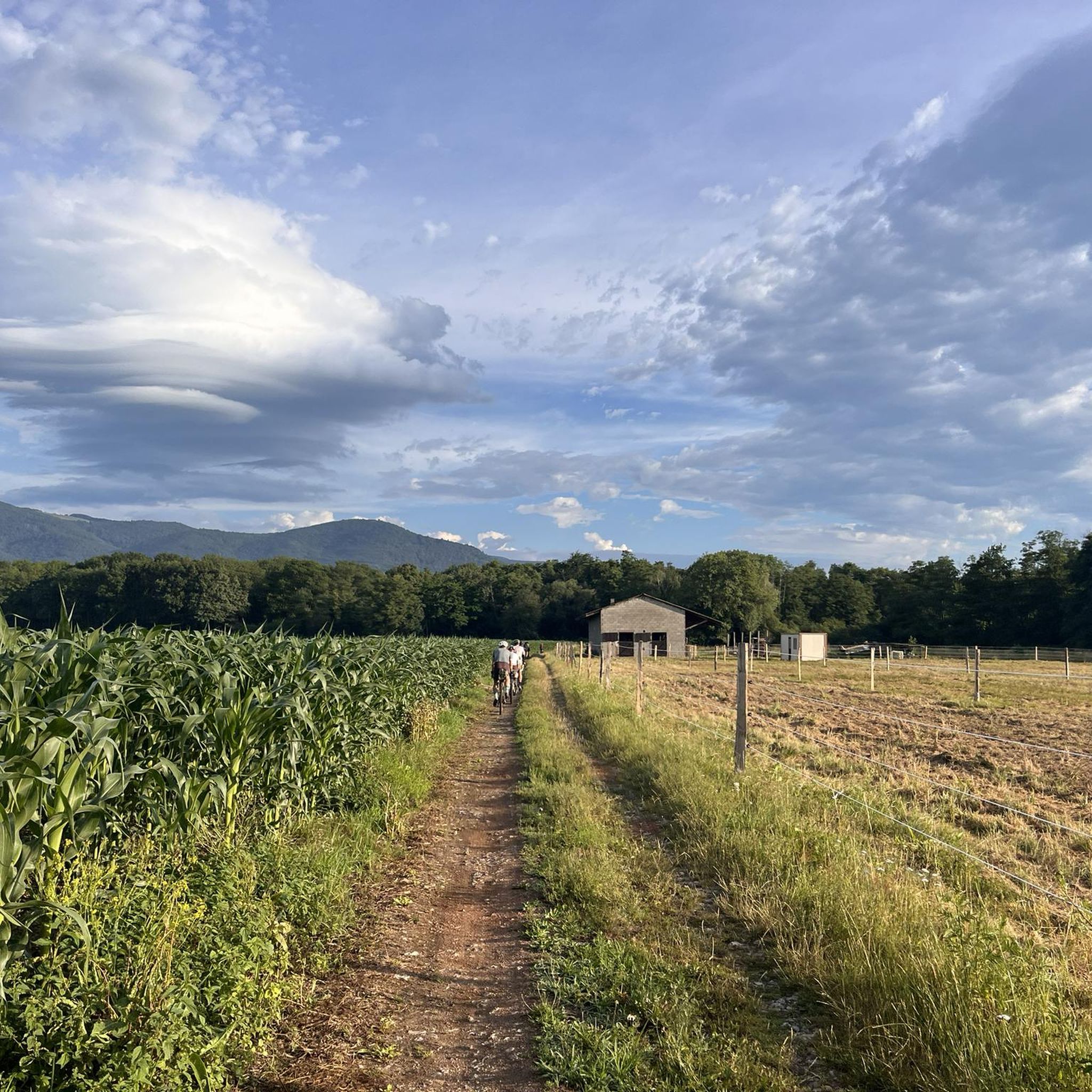
Unlike the Blochmont, which crosses the same ridge just a little further on, this road from Wolschwiller is considerably more challenging. After a gentle start, the route climbs relatively steeply through the narrow valley. A stream flows to the right, while beautiful rock formations are often visible to the left. At the top, near the unmistakable 'Lange Matte' (Long Meadow), the terrain levels out again, and soon you're at the top.
0
1

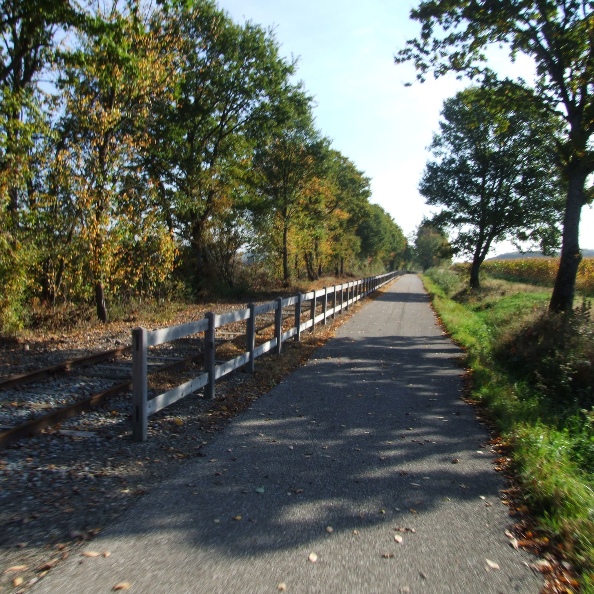
This excellent cycleway is a great way to avoid the heavy traffic on the road.
1
0
This separated cycleway between Wittelsheim and Staffelfelden is a great way to avoid the heavy traffic on the road.
1
0
The French and European National Cycleway is a great cycleway winding along side of the Rhine Rhone Canal with very little climbing, for those who do not like to climb. However those who are climbing shy, must be aware of the wind in this area. A lot of the locks still have the former lock man’s house which adds a bit of charm to every lock. One is never alone on this route as there is a constant passing of bicycles, both leisure and racing bikes.
0
0

The VV221 cycle route is part of the EuroVélo 5 network and begins in Ensisheim at the Thur bridge and ends in Cernay after about 17 km. The route initially runs alongside the road, then past ponds and finally through a wooded area. It runs alongside the Thur and passes the Alsatian Ecomuseum (another route leads to Ungersheim via the Petit Prince Park). The Green Route then winds along the Thur, passing Pulversheim, Staffelfelden, and Wittelsheim, and finally reaches Cernay, still along the Thur.
0
0


The Écluse d’Eglingen is a small, active lock on the Canal du Rhône au Rhin, near the village of Eglingen in the Sundgau region. This spot is popular with cyclists due to its quiet location along the 'EuroVelo 6' and regional cycle routes. The lock is surrounded by greenery and offers a bench and shade, but no facilities.
9
0
Frequently Asked Questions
How many road cycling routes are available around Wittelsheim?
There are over 10 road cycling routes around Wittelsheim, offering a variety of distances and difficulty levels for different preferences.
Are there easy road cycling routes suitable for beginners or families in Wittelsheim?
Yes, Wittelsheim offers several easy routes. For instance, the Thur Rapids – Cernay - Vieux-Thann loop from Graffenwald is an easy 19.7-mile trail following river valleys, and the Blue Bridge Cycle Path – Cycle Path with Blue Bridge loop from Graffenwald is another easy option leading through dedicated cycle paths.
What kind of terrain can I expect on road cycling routes in Wittelsheim?
Road cycling routes around Wittelsheim feature a diverse landscape, including river valleys, agricultural plains, and gentle rolling hills. You'll find a mix of dedicated cycle paths and quiet country roads, with terrain ranging from flat sections along waterways to moderate ascents.
Are there challenging road cycling routes with significant elevation gain near Wittelsheim?
Yes, for those seeking a challenge, the region offers routes with notable elevation gain. The Eglingen Lock – Blochmont Pass loop from Graffenwald is a difficult 75.2-mile route with over 3,000 feet of ascent, providing a demanding experience.
What are some scenic viewpoints or attractions along the road cycling routes?
While cycling, you can discover various points of interest. Consider visiting the Viewpoint at the Rehbrunnel shelter or enjoying the View of Thannerhubel, Markstein, Grand Ballon, and Molkenrain from Chalet Zuber. The region also has historical sites like the Adlerhorst Command Post – World War I.
Are there circular road cycling routes available in Wittelsheim?
Many routes in Wittelsheim are designed as loops, allowing you to start and finish at the same point. Examples include the Soultz (Haut-Rhin) loop from Wittelsheim and the A Beautiful Middle Age Village – Rouffach Old Town loop from Graffenwald.
What do other road cyclists enjoy most about road cycling in Wittelsheim?
The area is highly rated by the komoot community, with an average score of 4.6 stars from over 160 reviews. Reviewers often praise the varied terrain, the mix of dedicated cycle paths and quiet country roads, and the scenic beauty of the river valleys and rolling hills.
Is it possible to find long-distance road cycling routes in the Wittelsheim area?
Yes, for those looking for longer rides, Wittelsheim offers extended routes. The Eglingen Lock – Blochmont Pass loop from Graffenwald is a significant 75.2-mile journey, providing a full day's ride through the region.
Are there any historical sites or caves to explore near the road cycling routes?
Yes, the region around Wittelsheim is rich in history and natural formations. You can find historical sites such as the Veilchenstein German WW1 Bunker and the Schletzenbourg medieval mine, as well as natural caves like the Lower Rehfelsen Tunnels.
What is the best season for road biking in Wittelsheim?
While specific seasonal details are not provided, the region's mix of river valleys and rolling hills suggests that spring and autumn would offer pleasant temperatures and vibrant scenery. Summer is also suitable, though it might be warmer, and winter cycling depends on local weather conditions.
Are there places to stop for refreshments or cafes along the road cycling routes?
Many routes pass through or near local towns, offering opportunities to stop for refreshments. While specific cafes aren't listed, you can often find amenities in towns like Cernay or Soultz, which are part of popular cycling loops.
Most popular routes around Wittelsheim
Most popular attractions around Wittelsheim

Get inspired with the komoot mobile app


Explore more
Browse the best Road cycling routes in other regions.
