The best walks and hikes around Saultain
4.5
(970)
4,793
hikers
278
hikes
Hiking around Saultain offers opportunities to explore a landscape characterized by a mix of natural and historical features in the Nord department of France. The region includes woodlands such as the Bois d'Angre and the extensive Forest of Mormal, providing numerous paths. Rivers like the Rhonelle and the Sameon stream contribute to scenic routes, while the proximity to the Parc Naturel Régional Scarpe-Escaut allows for walks through varied terrain, including former coal mining areas with elevated viewpoints. The area also…
Last updated: October 13, 2026
4.2
(6)
16
hikers
9.99km
02:35
60m
60m
Moderate hike. Good fitness required. Easily-accessible paths. Suitable for all skill levels.
5.0
(1)
18
hikers
8.53km
02:12
50m
50m
Moderate hike. Good fitness required. Easily-accessible paths. Suitable for all skill levels.

16
hikers
12.0km
03:07
70m
70m
Moderate hike. Good fitness required. Easily-accessible paths. Suitable for all skill levels.
5.0
(2)
9
hikers
8.82km
02:16
40m
40m
Moderate hike. Good fitness required. Easily-accessible paths. Suitable for all skill levels.
5.0
(1)
5
hikers
20.6km
05:21
140m
140m
Hard hike. Very good fitness required. Easily-accessible paths. Suitable for all skill levels.
Get access to more routes and recommendations from other explorers.
Already have an account?
Our route recommendations are based on thousands of hikes, rides, and runs completed by other people on komoot.
Start today with a free account
Your next adventure awaits.



Frequently Asked Questions
What kind of landscapes can I expect to see while hiking around Saultain?
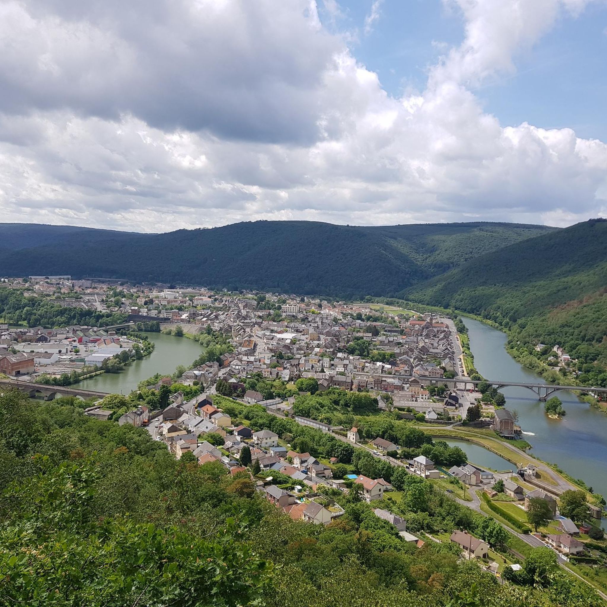
The region around Saultain offers a diverse landscape characterized by woodlands, river valleys, and former mining areas. You'll find extensive forests like the Bois d'Angre and the Forest of Mormal, alongside scenic routes along rivers such as the Rhonelle and the Sameon stream. The proximity to the Parc Naturel Régional Scarpe-Escaut also means opportunities to explore varied terrain, including former coal mining spoil heaps (terril) that now offer elevated viewpoints.
How many hiking trails are available in the Saultain area?
There are over 260 hiking routes available around Saultain, catering to various preferences and skill levels. These include a mix of easy, moderate, and more challenging paths through the region's natural and historical landscapes.
Are there any circular hiking routes near Saultain?
Yes, many of the trails around Saultain are circular, allowing you to start and end at the same point. For example, the Hiking loop from Préseau is a popular 10 km route exploring the area around Préseau, and the Bunker in Northern France loop from Saultain offers an 11.1 km circular journey through historical elements and natural scenery.
Are there any historical landmarks or interesting features to discover on the trails?
Absolutely. The hiking routes often integrate historical elements. You can explore trails that pass by hidden blockhouses, remnants of the region's past. The nearby town of Le Quesnoy, for instance, features impressive ramparts that offer a promenade route. You might also encounter sites like the Menhir known as Le Gros Caillou or the Emile Verhaeren Stone.
Are there any waterfalls or unique natural monuments in the area?
Yes, the region features some unique natural attractions. You can find the Quélipont Waterfall, offering a scenic spot. Additionally, the Le Caillou-qui-Bique, a 370-million-year-old pudding rock, is a notable natural monument located in the nearby Bois d'Angre.
What do other hikers enjoy most about hiking in Saultain?
The hiking trails around Saultain are highly rated by the komoot community, with an average score of 4.5 stars from over 750 reviews. Hikers often praise the quiet woodlands, the varied terrain that combines natural beauty with historical discovery, and the well-maintained paths suitable for different ability levels.
Are there family-friendly hiking options around Saultain?
Yes, Saultain and its surroundings offer several easy and moderate trails suitable for families. Many routes traverse gentle terrain through woodlands and along rivers, providing pleasant outings for all ages. Consider routes that explore the Bois d'Angre for a natural setting.
Can I bring my dog on the hiking trails?
Many trails in the Saultain area, especially those within natural areas like the Parc Naturel Régional Scarpe-Escaut and the various woodlands, are generally dog-friendly. However, it's always recommended to keep your dog on a leash, especially in areas with wildlife or near agricultural land, and to check for any specific local regulations.
Are there good viewpoints along the hiking routes?
Yes, the region's unique landscape, particularly the former mining spoil heaps (terril) that have been reforested, often provides excellent viewpoints. The Terril de la Sabatière in the Parc Naturel Régional Scarpe-Escaut, for example, offers superb panoramic views of the surrounding area.
Is public transport available to access hiking trails near Saultain?
Saultain is connected to nearby towns like Valenciennes by local bus routes. While some trailheads might be accessible directly by public transport, others may require a short walk from a bus stop. It's advisable to check local bus schedules and routes in advance to plan your access to specific trails.
Where can I find parking for hiking trails in Saultain?
Parking is generally available in or near the villages that serve as starting points for many trails, including Saultain itself and neighboring communes like Préseau or Curgies. Look for designated parking areas near town centers or trailheads. Specific parking information is often available on local tourism websites or detailed route descriptions.
Are there any cafes or places to eat near the hiking trails?
While Saultain is a smaller commune, you can find local cafes and restaurants in the village and in larger nearby towns like Valenciennes. Some routes might pass through or near villages where you can find a spot for refreshments. For example, Le Chalet Du Garde is a cafe located within the broader area.
What is the best time of year to go hiking in Saultain?
Spring and autumn are generally considered the best times for hiking around Saultain. During these seasons, the weather is typically mild, and the natural landscapes are particularly vibrant with blooming flowers or colorful foliage. Summer can also be pleasant, but it's wise to start early to avoid the midday heat. Winter hikes are possible, especially on well-maintained paths, but be prepared for colder temperatures and potentially muddy conditions.
Most popular attractions around Saultain

Get inspired with the komoot mobile app


Explore more
Browse the best Hikes in other regions.
