The best walks and hikes around Saint-Remy-Chaussée
4.5
(181)
997
hikers
104
hikes
Hiking around Saint-Remy-Chaussée offers routes through varied terrain, characterized by gentle elevation changes and a mix of open views and forested areas. The region features a network of paths suitable for exploring the local landscape. Many routes are circular, providing diverse scenery within a single outing.
Best hiking trails around Saint-Remy-Chaussée
- The most popular hiking route is Church and Town Hall of Dourlers – View of the Bois de la Garde loop from Dourlers, a 5.2 miles (8.4 km)…
Last updated: July 9, 2026
5.0
(6)
14
hikers
Moderate hike. Good fitness required. Easily-accessible paths. Suitable for all skill levels.
3.5
(2)
11
hikers
7.59km
01:59
50m
50m
Easy hike. Great for any fitness level. Easily-accessible paths. Suitable for all skill levels.

Sign up for free
5.0
(2)
13
hikers
6.61km
01:44
60m
60m
Easy hike. Great for any fitness level. Easily-accessible paths. Suitable for all skill levels.
5.0
(2)
15
hikers
Moderate hike. Good fitness required. Easily-accessible paths. Suitable for all skill levels.
17
hikers
8.40km
02:08
20m
20m
Moderate hike. Good fitness required. Easily-accessible paths. Suitable for all skill levels.
Get access to more routes and recommendations from other explorers.
Sign up for free
Already have an account?
Our route recommendations are based on thousands of hikes, rides, and runs completed by other people on komoot.
Start today with a free account
Your next adventure awaits.
Login or Signup



Tips from the Community

Picnic spot next to the Sambre
1
0


Bibouac area in a very quiet little village
3
0

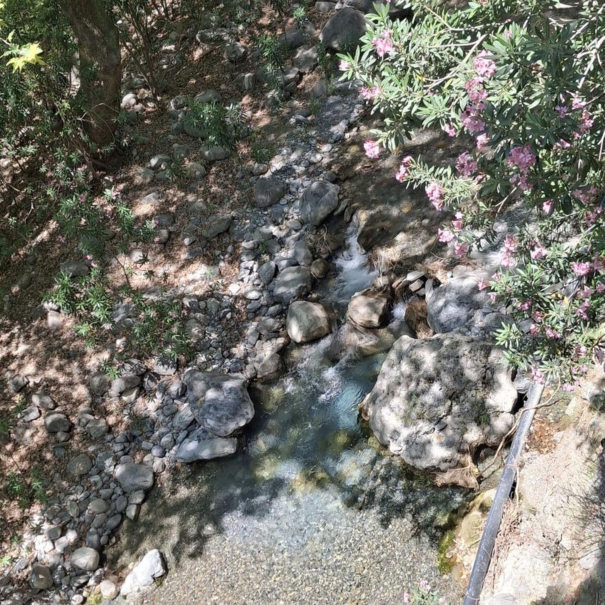
Many centuries ago, our ancestors discovered the possibility of harnessing the power of the elements - which on the one hand could be helpful and useful, but on the other hand could also be a threat as untamed forces of nature - for various purposes and thus be able to do without human or animal muscle power. Mills like these are a good example of the human engineering skills of earlier generations: the heavy millstones used to grind grain into corn or press oil, for example, could be powered by the wind or - as here - water.
1
0

Very nice mill, on the other hand inaccessible, private road.
1
0
Frequently Asked Questions
How many hiking trails are available in Saint-Remy-Chaussée?
There are over 80 hiking trails around Saint-Remy-Chaussée, offering a variety of options for different skill levels and preferences. The region features a good mix of easy and moderate routes.
Are there easy hiking trails suitable for beginners or families in Saint-Remy-Chaussée?
Yes, Saint-Remy-Chaussée offers many easy trails perfect for beginners or families. For example, the Petite Cascade d'Éclaibes loop from Éclaibes is an easy 4.7-mile (7.6 km) path featuring gentle terrain and a small cascade, ideal for a relaxed walk. Another great option is the Hiking loop from Dompierre-sur-Helpe, which is 4.1 miles (6.6 km) and leads through pleasant countryside.
What kind of terrain can I expect on hikes in Saint-Remy-Chaussée?
Hiking around Saint-Remy-Chaussée is characterized by gentle hills, open countryside, and sections of woodland. The routes typically have modest elevation changes, making them accessible for a wide range of hikers.
Are there any circular walks in Saint-Remy-Chaussée?
Many routes in Saint-Remy-Chaussée are circular, allowing you to start and end at the same point while experiencing diverse scenery. An example is the Church and Town Hall of Dourlers – View of the Bois de la Garde loop from Dourlers, a moderate 5.2-mile (8.4 km) trail.
What are some interesting landmarks or attractions to see along the hiking trails?
While hiking, you can discover several points of interest. Notable attractions include the historic Grand Fayt Mill and the Watermill in Parc Naturel Régional de l'Avesnois. You might also encounter the Weir at L'Auberge du Puits des Prés or the Saint-Pierre-aux-Liens Church of Grand-Fayt.
What do other hikers enjoy most about hiking in Saint-Remy-Chaussée?
The hiking routes in Saint-Remy-Chaussée are highly rated by the komoot community, with an average score of 4.6 stars from over 130 reviews. Hikers often praise the varied terrain, the mix of open views and forested areas, and the well-maintained paths that make for enjoyable outings.
How long do hikes in Saint-Remy-Chaussée typically take?
Hike durations vary depending on the route's length and your pace. Many popular trails, such as the Church and Town Hall of Dourlers – Chapel of ND de Walcourt loop from Dourlers (9.3 km), can take around 2 to 2.5 hours to complete. Shorter, easy routes might take less than 2 hours.
Are there any trails that offer good viewpoints?
Yes, several trails provide scenic views of the surrounding landscape. The Church and Town Hall of Dourlers – View of the Bois de la Garde loop from Dourlers, for instance, offers pleasant views towards the Bois de la Garde, showcasing the region's characteristic blend of woodlands and open fields.
What is the best time of year to go hiking in Saint-Remy-Chaussée?
The region's gentle terrain and varied landscapes make it suitable for hiking throughout much of the year. Spring and autumn offer pleasant temperatures and beautiful scenery with blooming flowers or colorful foliage. Summer is also enjoyable, especially in wooded sections, while winter hikes can be peaceful, though conditions may vary.
Are there options for longer, more challenging hikes?
While Saint-Remy-Chaussée is known for its easy to moderate trails, there are options for slightly longer routes. For example, the Church and Town Hall of Dourlers – Saint-Antoine Chapel loop from Dourlers is a moderate 9.8 km (6.1 miles) trail, offering a more extended exploration of the local area.
Is Saint-Remy-Chaussée a good destination for nature walks?
Absolutely. The region's network of paths through open countryside and woodlands, combined with gentle elevation changes, makes it an excellent choice for nature walks. You'll find opportunities to enjoy the local flora and fauna in a tranquil setting.
Most popular routes around Saint-Remy-Chaussée
Most popular attractions around Saint-Remy-Chaussée

Get inspired with the komoot mobile app


Explore more
Browse the best Hikes in other regions.
