The best walks and hikes around Rousies
4.3
(194)
1,027
hikers
125
hikes
Hiking around Rousies offers a network of trails characterized by gentle elevation changes and a mix of open agricultural landscapes and small wooded areas. The region's terrain is generally flat to undulating, making it accessible for various activity levels. Paths often traverse rural settings, connecting small villages and offering views of the local countryside.
Best hiking trails around Rousies
- The most popular hiking route is Dandelion loop from Assevent, an easy 3.5 miles (5.7 km) trail that takes 1…
Last updated: July 2, 2026
5.0
(1)
17
hikers
5.70km
01:28
30m
30m
Easy hike. Great for any fitness level. Easily-accessible paths. Suitable for all skill levels.
4.0
(2)
11
hikers
5.10km
01:20
40m
40m
Easy hike. Great for any fitness level. Easily-accessible paths. Suitable for all skill levels.

Sign up for free
4.0
(2)
11
hikers
3.94km
01:01
20m
20m
Easy hike. Great for any fitness level. Easily-accessible paths. Suitable for all skill levels.
3.0
(1)
18
hikers
9.05km
02:17
20m
20m
Moderate hike. Good fitness required. Easily-accessible paths. Suitable for all skill levels.
5.0
(4)
6
hikers
12.5km
03:15
80m
80m
Moderate hike. Good fitness required. Easily-accessible paths. Suitable for all skill levels.
Get access to more routes and recommendations from other explorers.
Sign up for free
Already have an account?
Our route recommendations are based on thousands of hikes, rides, and runs completed by other people on komoot.
Start today with a free account
Your next adventure awaits.
Login or Signup


Tips from the Community


Beautiful place, attractive old train station. From here on, the railway line cycle path EV3. The first short section is still unpaved, then asphalt.
2
0
Part of the former fortress.
0
0

There is an eco-bike point and a bike service
2
1

The historically significant fortified town of Maubeuge lies on the Sambre River. It has been besieged several times throughout history. You can learn about its eventful past in the local museum.
0
0

The Foyer des Travailleurs de Boussois which dates from 1928 was transformed in 1993 into the House of Citizenship. This one with social and cultural vocation accommodates the Museum of the Memory Verrière of Boussois.
1
0
Frequently Asked Questions
How many hiking trails are available around Rousies?
There are over 110 hiking trails around Rousies, offering a variety of options for different skill levels. The region's terrain is generally flat to undulating, making it accessible for many.
Are there easy hikes suitable for beginners in Rousies?
Yes, Rousies offers many easy hikes. For example, the Dandelion loop from Assevent is an easy 3.5-mile (5.7 km) trail through open fields, perfect for a gentle introduction to the area.
Are there any longer distance hiking options near Rousies?
For those looking for a longer walk, the The Lord's Mill – Les vannes loop from Ferrière-la-Grande offers a moderate 8-mile (12.8 km) route, providing a more extended experience in the local countryside.
What kind of terrain can I expect on hikes around Rousies?
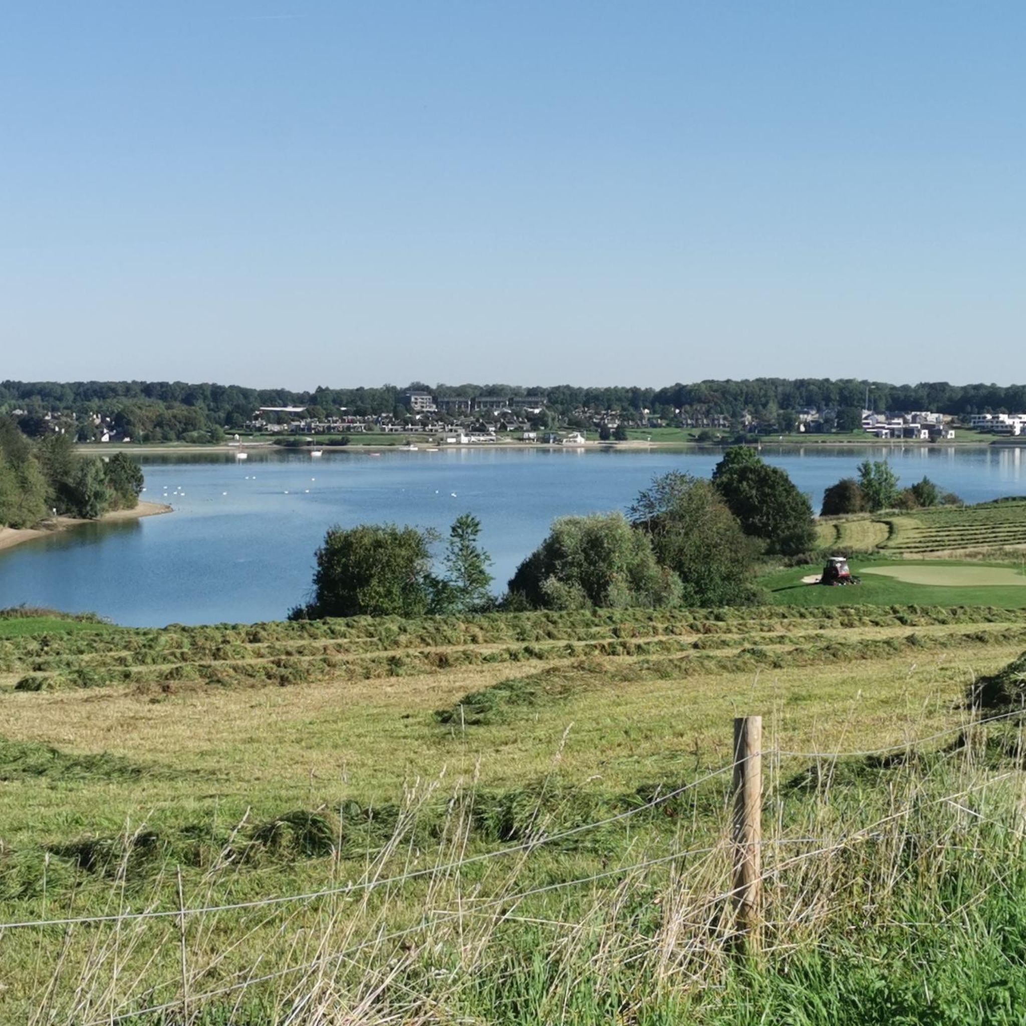
Hiking around Rousies is characterized by gentle elevation changes, traversing a mix of open agricultural landscapes, small wooded areas, and quiet rural paths. The terrain is generally flat to undulating, making it accessible for various activity levels.
Are there circular walks available in Rousies?
Yes, many routes around Rousies are circular. The Hiking loop from Rousies is a popular easy 3.2-mile (5.1 km) path that starts and ends in the town, offering a pleasant loop with minimal elevation gain.
What are some interesting places to explore along the hiking trails?
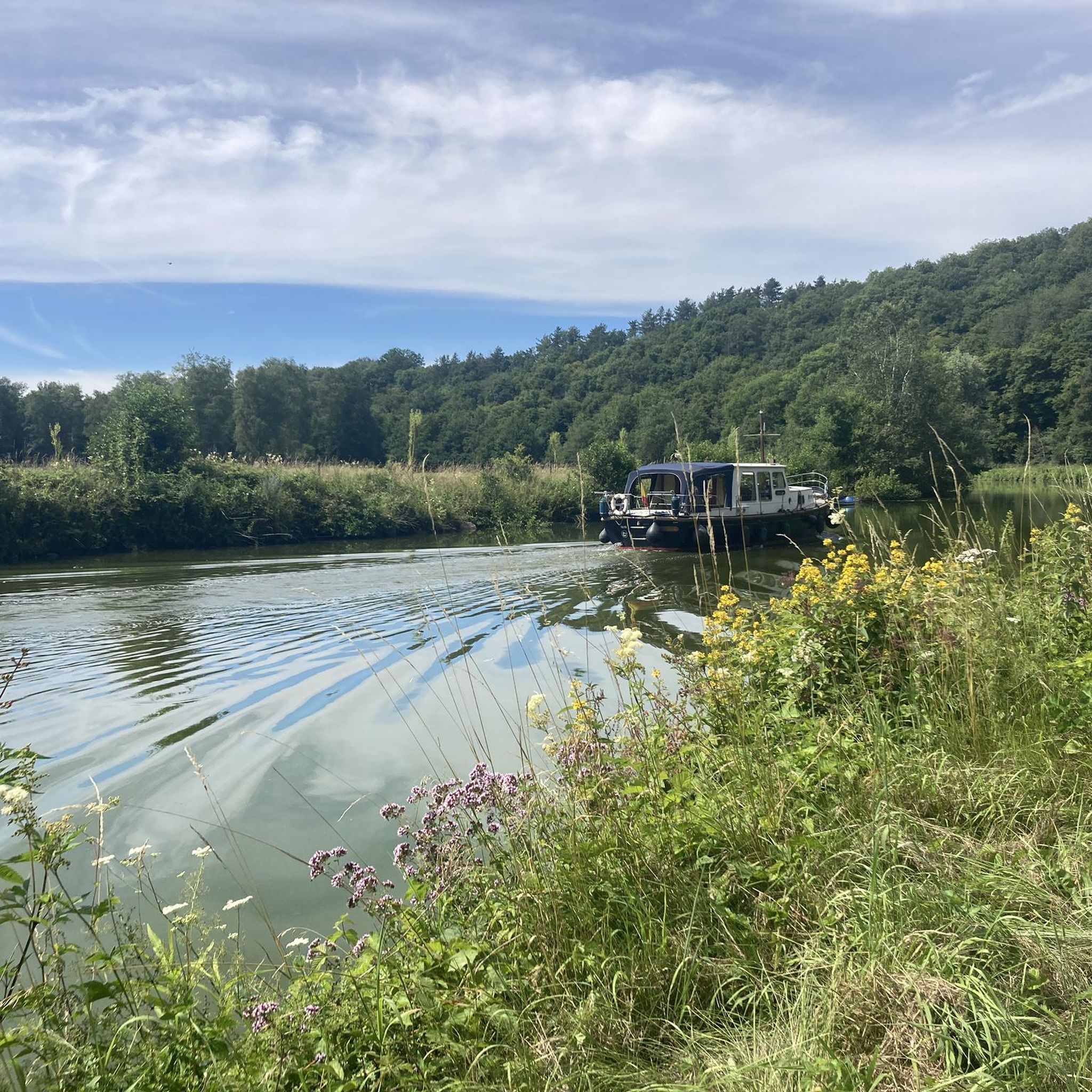
While hiking, you can explore several points of interest. Consider visiting the historic Fort de Leveau or enjoying the scenic Sambre Valley. The Fortified town Maubeuge loop from Maubeuge also offers a chance to see historical sites.
Is Rousies a good destination for family-friendly hikes?
Absolutely. The region's generally flat and gentle terrain, with many easy routes, makes it ideal for families. Trails like the Hiking loop from Les Bons Pères are short and manageable for all ages.
What do other hikers enjoy most about hiking in Rousies?
The area is highly rated by the komoot community, with an average score of 4.3 stars from over 160 reviews. Reviewers often praise the quiet rural settings, the accessibility of the trails, and the pleasant views of the local countryside.
Are there any specific considerations for winter hiking in Rousies?
While the terrain is generally gentle, winter conditions can make paths muddy or slippery. Always check local weather forecasts and wear appropriate footwear. The open agricultural fields can be exposed to wind, so dress in layers.
Are there options for parking near the trailheads in Rousies?
Many of the hiking routes around Rousies, especially those starting from villages or towns, typically have public parking available nearby. It's advisable to check specific route details on komoot for precise parking information for your chosen trailhead.
Can I reach hiking trails in Rousies using public transport?
Rousies and its surrounding villages are generally accessible by local public transport, though service frequency may vary. For specific routes, it's best to consult local bus schedules to plan your journey to the trailhead.
Are there any viewpoints or scenic overlooks on the trails?
While Rousies is known for its gentle terrain rather than dramatic elevation, many trails offer pleasant views across the open agricultural landscapes and small woodlands. The routes often provide expansive vistas of the local countryside.
Most popular attractions around Rousies

Get inspired with the komoot mobile app


Explore more
Browse the best Hikes in other regions.
