The best walks and hikes around Saint-Hilaire-Sur-Helpe
4.4
(174)
914
hikers
116
hikes
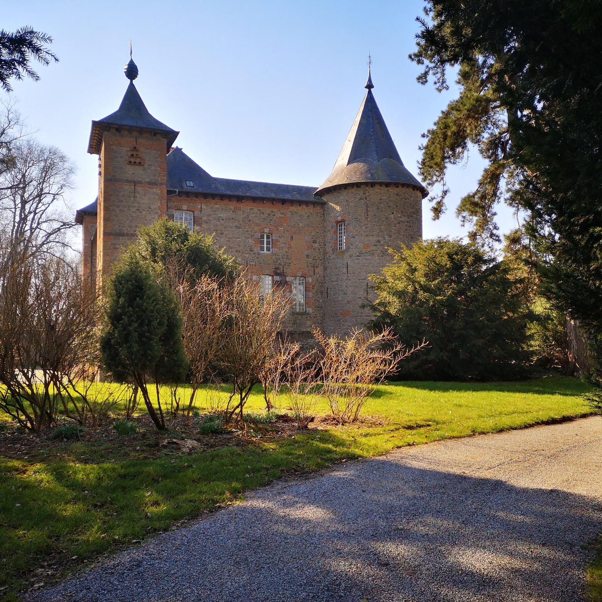
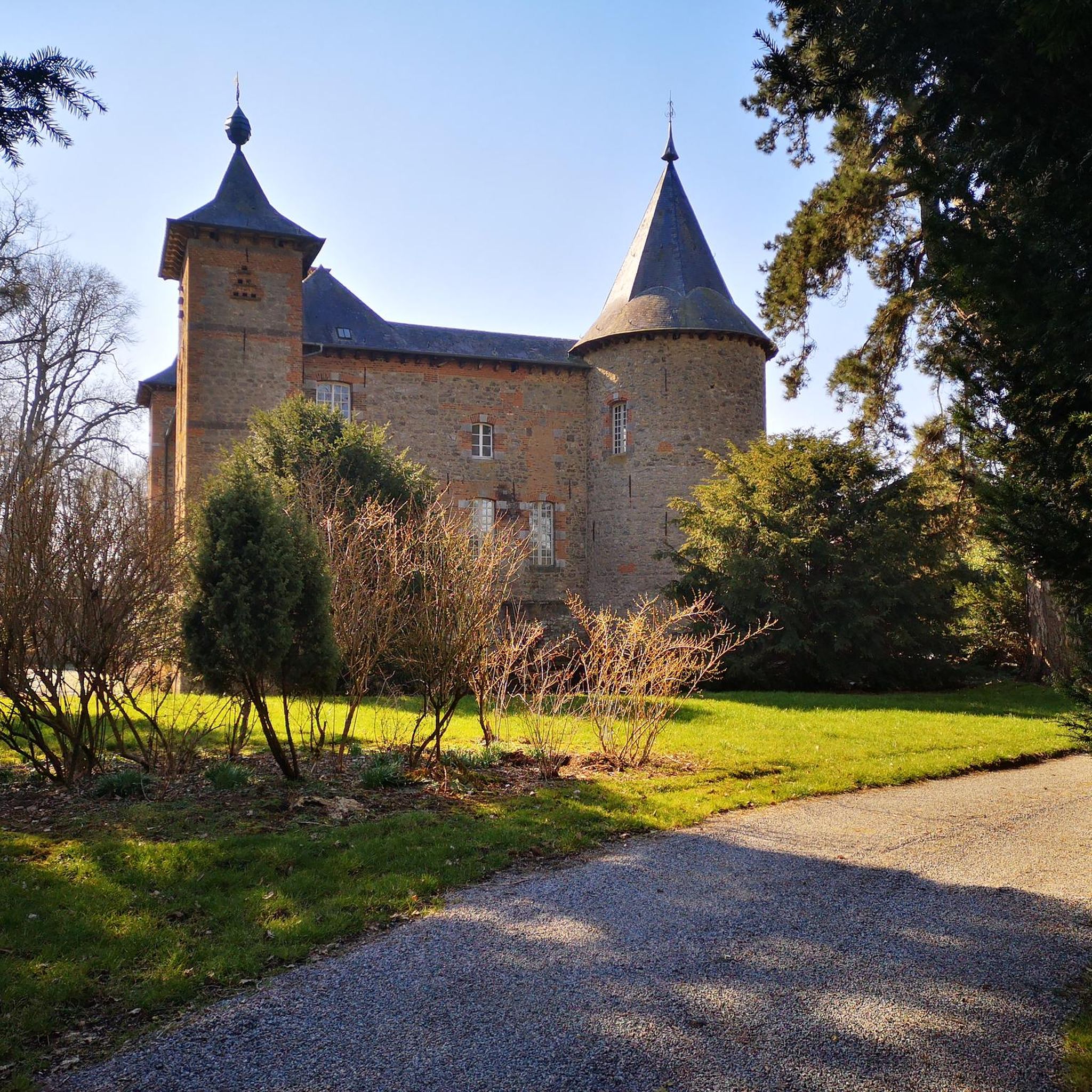
Hiking around Saint-Hilaire-Sur-Helpe offers exploration through a diverse landscape of hedged farmland, forests, and streams. This bocage environment, characteristic of the Nord department in northern France, provides varied scenery for outdoor activities. The Helpe river contributes to the natural beauty of the region, which is also situated near the Avesnois Regional Nature Park. The terrain includes local hills and scenic areas, offering a range of experiences for hikers.
Best hiking trails in Saint-Hilaire-Sur-Helpe
- The most popular hiking route is Church…
Last updated: July 2, 2026
5.0
(6)
14
hikers
Moderate hike. Good fitness required. Easily-accessible paths. Suitable for all skill levels.
4.0
(2)
14
hikers
11.3km
03:00
110m
110m
Moderate hike. Good fitness required. Easily-accessible paths. Suitable for all skill levels.

Sign up for free
5.0
(2)
16
hikers
Moderate hike. Good fitness required. Easily-accessible paths. Suitable for all skill levels.
5.0
(2)
13
hikers
6.61km
01:44
60m
60m
Easy hike. Great for any fitness level. Easily-accessible paths. Suitable for all skill levels.
5.0
(1)
13
hikers
10.5km
02:46
90m
90m
Moderate hike. Good fitness required. Easily-accessible paths. Suitable for all skill levels.
Get access to more routes and recommendations from other explorers.
Sign up for free
Already have an account?
Our route recommendations are based on thousands of hikes, rides, and runs completed by other people on komoot.
Start today with a free account
Your next adventure awaits.
Login or Signup


Tips from the Community


The Helpe Majeure crosses in Flaumont-Waudrechies an old flour mill dependent on the Hautmont Abbey, whose existence is attested since the 15th century and which was transformed into a marble sawmill in 1883 (in operation until 1990). The current visible buildings date from the 18th century and were probably built when the mill was sold by the abbey in 1745. Before 1905, the mill was purchased by the Maybon family who, instead of the mill, installed armored saws to cut the marble, using the river to provide the necessary energy. After the First World War the mill belonged to the Cordier family.
5
0
The square de la Madeleine is a square on one of the bastions of the city walls. You have a view of the steep Helpe valley.
2
0

Bibouac area in a very quiet little village
3
0

Many centuries ago, our ancestors discovered the possibility of harnessing the power of the elements - which on the one hand could be helpful and useful, but on the other hand could also be a threat as untamed forces of nature - for various purposes and thus be able to do without human or animal muscle power. Mills like these are a good example of the human engineering skills of earlier generations: the heavy millstones used to grind grain into corn or press oil, for example, could be powered by the wind or - as here - water.
1
0

Very nice mill, on the other hand inaccessible, private road.
1
0
Frequently Asked Questions
How many hiking trails are available around Saint-Hilaire-sur-Helpe?
There are nearly 100 hiking trails around Saint-Hilaire-sur-Helpe, offering a wide range of options for all skill levels. This includes 39 easy routes, 54 moderate routes, and 3 difficult routes.
What kind of landscape can I expect to see while hiking in this region?
The region around Saint-Hilaire-sur-Helpe is characterized by a beautiful bocage landscape, featuring hedged farmland, forests, and streams. You'll find varied scenery, including local hills and the scenic Helpe river valley, especially within or near the Avesnois Regional Nature Park.
Are there any family-friendly hiking options in Saint-Hilaire-sur-Helpe?
Yes, the area offers many easy routes suitable for families. For example, the Hiking loop from Dompierre-sur-Helpe is an easy 6.6 km trail that provides a pleasant experience for all ages.
What do other hikers enjoy most about the trails in Saint-Hilaire-sur-Helpe?
The trails around Saint-Hilaire-sur-Helpe are highly rated by the komoot community, with an average score of 4.6 stars from over 149 reviews. Hikers often praise the varied terrain, the picturesque bocage landscape, and the well-maintained paths that showcase the region's natural beauty.
Are there any circular walks available?
Yes, many routes in the area are circular. An example is the moderate Moulin de Flaumont loop from Avesnes, which covers 11.1 km and features varied terrain with over 100 meters of elevation gain.
What are some interesting landmarks or attractions to see while hiking?
While exploring the trails, you can discover local heritage and natural features. Notable attractions include the Grand Fayt Mill and the Watermill in Parc Naturel Régional de l'Avesnois. The Voie verte de l'Avesnois also offers scenic paths.
What is the best time of year to go hiking in Saint-Hilaire-sur-Helpe?
The region's 'hedged farmland, forests and streams' offer pleasant hiking conditions throughout much of the year. Spring and autumn are particularly beautiful, with vibrant foliage or blooming landscapes. Summer is also suitable, though some routes might be more exposed to the sun.
Are there any longer, more challenging routes for experienced hikers?
While most routes are easy to moderate, there are a few more challenging options. For instance, the Petite Cascade d'Éclaibes – Church and Town Hall of Dourlers loop from Dourlers is a moderate 14.2 km trail that takes about 3 hours 41 minutes to complete, offering a longer exploration of the local landscape.
Can I bring my dog on the hiking trails?
Many trails in the Avesnois Regional Nature Park and surrounding areas are generally dog-friendly, especially if kept on a leash. However, specific regulations can vary, so it's always advisable to check local signage or park guidelines for any restrictions, particularly concerning nature reserves or protected wildlife areas.
Are there any routes that pass through villages or offer views of local heritage?
Yes, several routes are designed to showcase local heritage. For example, the Church and Town Hall of Dourlers – Chapel of ND de Walcourt loop from Dourlers is a moderate 9.3 km route that allows you to experience the built heritage and charming aspects of the local villages.
Is public transport available to reach hiking trailheads?
While Saint-Hilaire-sur-Helpe is a rural area, local bus services might connect to nearby towns. For specific trailheads, it's often more convenient to arrive by car. We recommend checking local transport schedules for the most up-to-date information on connections to smaller villages.
Are there designated parking areas for hikers?
Many trailheads in the region, especially those departing from villages or popular starting points, typically have available parking. It's common to find parking near churches, town halls, or designated communal areas in the villages from which routes begin.
Most popular routes around Saint-Hilaire-Sur-Helpe
Most popular attractions around Saint-Hilaire-Sur-Helpe

Get inspired with the komoot mobile app


Explore more
Browse the best Hikes in other regions.
