The best walks and hikes around Boppelsen
4.6
(2632)
18,917
hikers
816
hikes
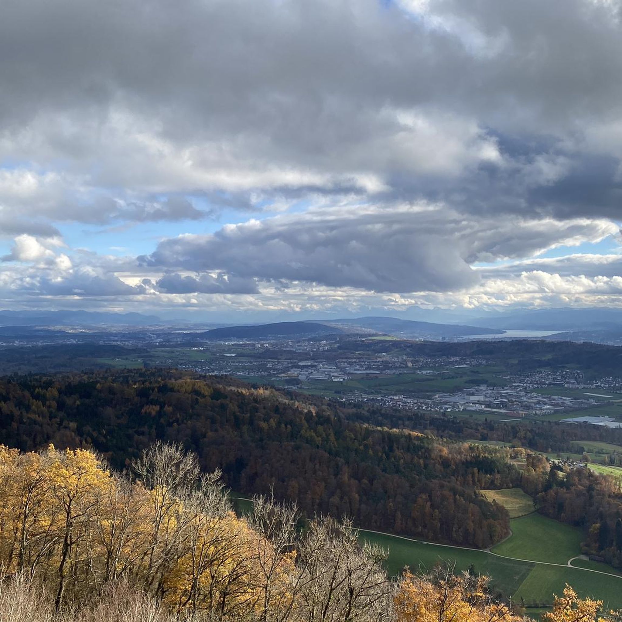
Hiking around Boppelsen offers access to a diverse natural landscape centered around the prominent Lägern Ridge. The region features a well-developed network of trails that traverse varied natural scenery, providing panoramic views from elevated points. These paths cater to different fitness levels, ranging from easily walkable routes to more challenging ascents.
Best hiking trails around Boppelsen
- The most popular hiking route is View from Lägern Hochwacht – Lägerngrat Ridge Trail loop from Regensberg, a 6.5 miles (10.5 km) trail…
Last updated: October 14, 2026
4.5
(25)
104
hikers
10.5km
03:12
280m
280m
Moderate hike. Good fitness required. Mostly accessible paths. Sure-footedness required.
4.8
(45)
575
hikers
Moderate hike. Great for any fitness level. Mostly accessible paths. Sure-footedness required.

4.5
(10)
33
hikers
9.92km
03:11
330m
330m
Moderate hike. Good fitness required. Mostly accessible paths. Sure-footedness required.
5.0
(8)
39
hikers
9.22km
03:05
430m
430m
Moderate hike. Good fitness required. Easily-accessible paths. Suitable for all skill levels.
5.0
(2)
14
hikers
10.5km
03:35
470m
470m
Hard hike. Good fitness required. Sure-footedness, sturdy shoes and alpine experience required.
Get access to more routes and recommendations from other explorers.
Already have an account?
Our route recommendations are based on thousands of hikes, rides, and runs completed by other people on komoot.
Start today with a free account
Your next adventure awaits.
Tips from the Community

The fountain is illuminated; you can press a button.
1
0
At this altitude you can decide to continue hiking along the ridge (T3) - very challenging - or to take the turnoff to the right (T1).
0
0

This tower is a radar station (secondary radar) for air traffic control and is operated by Skyguide. It processes exclusively echoes actively emitted by flying objects. Unlike the primary radar, which also uses echoes emitted immediately beforehand.
0
0

At 859 meters, the Burghorn is the highest point on the Lägerngrat. From here, you can enjoy spectacular panoramic views: to the south over the Limmat Valley to the Alps 🏔️, and to the north into the Surb Valley and the Aargau Jura 🌳 – a perfect place for a break with a view!
10
0

I definitely have to go there sometime...
1
0

Small cave (dug out) with a table and fireplace. Access from the north via ladders.
0
0

The route from the bottom is incorrectly navigated; ignore the left turn sign. There's simply a point where there's no way back and the climb is extremely dangerous. There's no solid ground and hardly any way to hold on. We almost called the REGA (Rega Rescue Service).
0
0

Wild garlic for the whole family
0
0
Frequently Asked Questions
How many hiking trails are available around Boppelsen?
Boppelsen offers a comprehensive network of over 840 hiking trails. This includes a wide range of options, with approximately 465 easy routes, 324 moderate trails, and 52 more challenging paths, catering to various fitness levels and preferences.
What kind of terrain can I expect on hikes in Boppelsen?
Hikes around Boppelsen primarily feature the prominent Lägern Ridge, offering varied natural scenery. You can expect well-maintained paths, some with moderate elevation changes, and sections that are easily manageable (T2 level). The trails traverse diverse landscapes, from wooded areas to open ridge paths.
Are there any family-friendly hiking options in Boppelsen?
Yes, Boppelsen's varied trail network includes many easily walkable paths suitable for families. While some routes require good basic fitness, there are numerous options that require no special skills, making them accessible for all ages. Look for shorter, less strenuous loops for a pleasant family outing.
Can I bring my dog on the hiking trails in Boppelsen?
Many of the hiking trails around Boppelsen are dog-friendly, allowing you to enjoy the natural scenery with your canine companion. It's always recommended to keep dogs on a leash, especially in nature protection areas or near livestock, and to carry water for them.
Are there any circular hiking routes around Boppelsen?
Yes, the area around Boppelsen features several excellent circular hiking routes. A popular moderate option is the Lägerngrat Ridge Trail – View from Lägern Hochwacht loop from Boppelsen, which covers nearly 10 km and offers impressive views.
What are the notable viewpoints or landmarks along the trails?
The most significant viewpoint is the Lägern Hochwacht Observation Point, situated on the Lägern Ridge. This popular destination offers impressive panoramic views of the surrounding landscape. Many routes lead to this point, including the Lägern Hochwacht Viewpoint – View from Lägern Hochwacht loop from Boppelsen.
What do other hikers enjoy most about hiking in Boppelsen?
The hiking trails in Boppelsen are highly rated by the komoot community, with an average score of 4.6 stars from over 2,200 reviews. Hikers frequently praise the impressive panoramic views from the Lägern Ridge, the varied natural scenery, and the well-maintained paths that cater to different ability levels.
Are there any historical sites or castles to explore near the hiking routes?
Yes, the region around Boppelsen is rich in historical sites. You can explore several castles, such as the impressive Regensberg Castle and Historic Village, or the ruins of Lägern Castle. These offer a fascinating glimpse into the area's past.
What is the best time of year to go hiking in Boppelsen?
The hiking season in Boppelsen generally extends from spring through autumn, offering pleasant temperatures and vibrant natural scenery. While some trails might be accessible in winter, it's always advisable to check local conditions, especially on higher sections of the Lägern Ridge, as weather can be unpredictable.
Are there any gorges or unique natural features to discover?
Beyond the Lägern Ridge, the area features interesting natural formations like gorges. You can find highlights such as the Wiesentäli above Weiningen or the Remetschwiler Tobel, which offer unique natural experiences along the trails.
How long do hikes around Boppelsen typically take?
Hikes around Boppelsen vary significantly in length and duration. Shorter routes, like the View from Lägern Hochwacht – Restaurant Hochwacht loop from Regensberg (5.7 km), can take around 1.5 to 2 hours. Longer trails, such as the View from Lägern Hochwacht – Lägerngrat Ridge Trail loop from Regensberg (10.5 km), may require over 3 hours to complete.
Is public transport available to reach the hiking trails?
Boppelsen is generally well-connected, and public transport options are available to reach various starting points for hikes. It's recommended to check local bus and train schedules to plan your journey to the trailheads, especially for routes that start or end outside the immediate village center.
Most popular routes around Boppelsen
Most popular attractions around Boppelsen

Get inspired with the komoot mobile app


Explore more
Browse the best Hikes in other regions.
