The best cycling routes around Auberchicourt
4.5
(293)
2,190
riders
289
rides
Touring cycling routes near Auberchicourt France are characterized by a landscape shaped by former mining activity, now reclaimed by nature. The region features distinctive terrils (reclaimed mining spoil heaps) that offer elevated viewpoints and varied terrain. Flat, accessible routes follow the banks of the Canal de la Sensée and the Scarpe river, connecting to wider regional networks. Additionally, large bodies of water like the Étang des Argales provide easy, circular paths for relaxed cycling.
Best touring cycling routes around Auberchicourt
…Last updated: June 26, 2026
4.3
(10)
102
riders
41.3km
02:45
100m
100m
Hard bike ride. Good fitness required. You may need to push your bike for some segments of this route.
4.3
(4)
66
riders
37.6km
02:27
100m
100m
Moderate bike ride. Good fitness required. Mostly paved surfaces. Suitable for all skill levels.

Sign up for free
4.7
(14)
43
riders
39.2km
02:32
60m
60m
Moderate bike ride. Good fitness required. Mostly paved surfaces. Suitable for all skill levels.
4.6
(5)
45
riders
31.7km
02:13
60m
60m
Moderate bike ride. Good fitness required. Mostly paved surfaces. Suitable for all skill levels.
5.0
(4)
27
riders
Easy bike ride. Great for any fitness level. Mostly paved surfaces. Suitable for all skill levels.
Get access to more routes and recommendations from other explorers.
Sign up for free
Already have an account?
Our route recommendations are based on thousands of hikes, rides, and runs completed by other people on komoot.
Start today with a free account
Your next adventure awaits.
Login or Signup


Tips from the Community

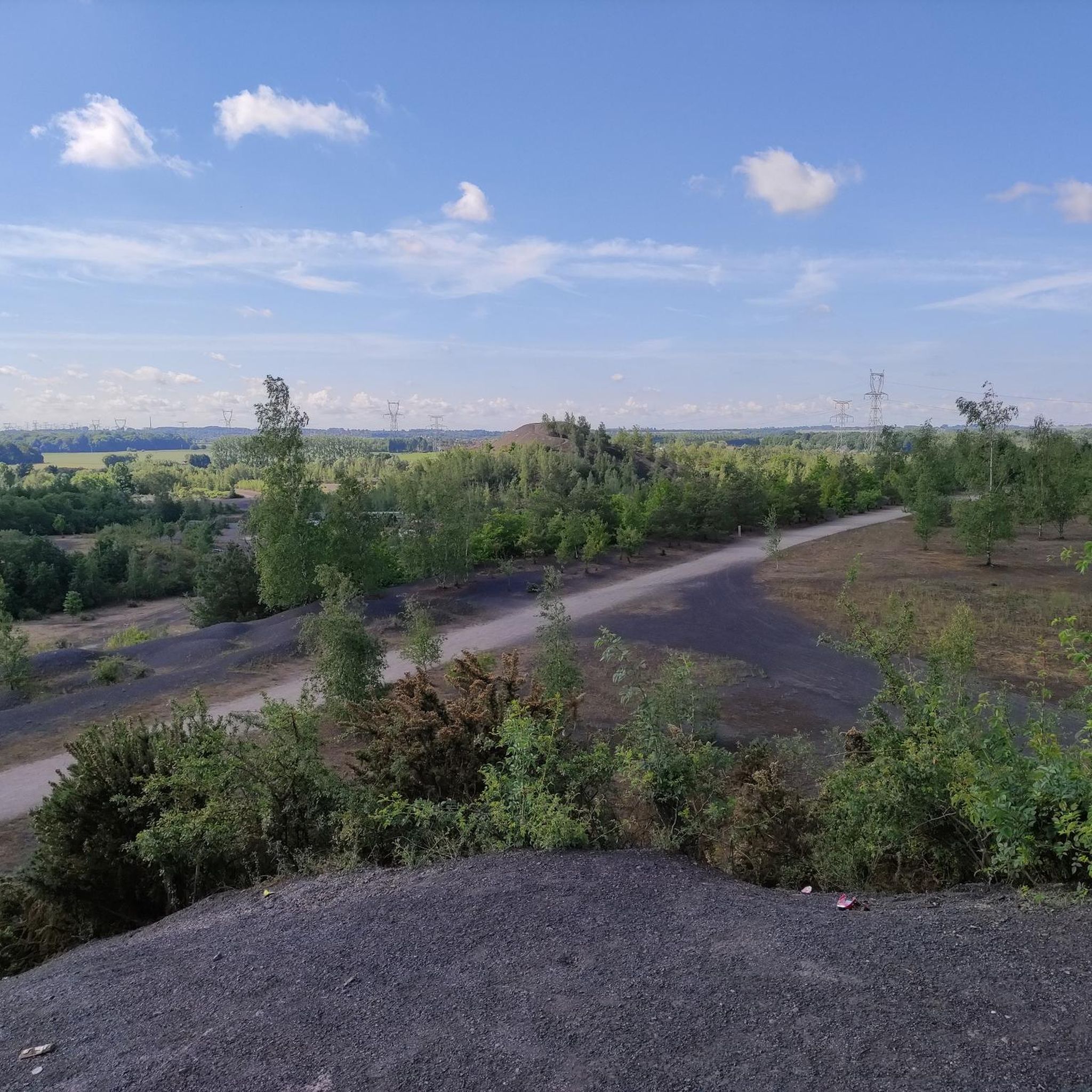
Enjoy nature instead of the hustle and bustle.
0
0


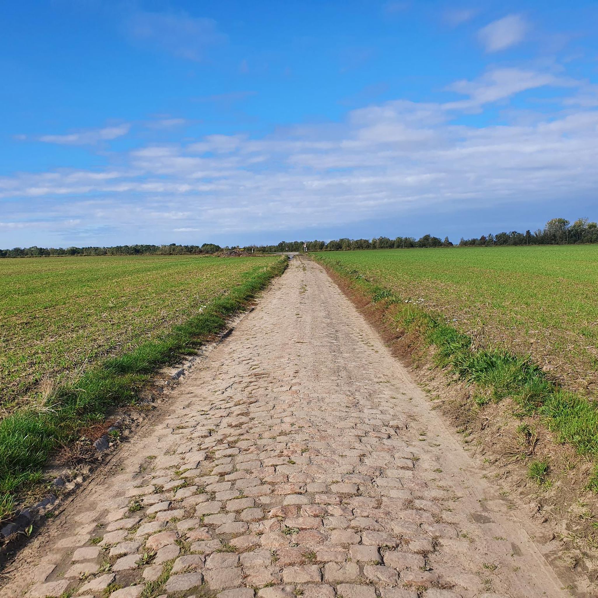
Part of the Chemin des Galibots in very smooth gravel.
0
0
Frequently Asked Questions
How many touring cycling routes are available around Auberchicourt?
There are over 290 touring cycling routes available around Auberchicourt, offering a wide variety of options for different skill levels and preferences.
What kind of terrain can I expect on touring cycling routes near Auberchicourt?
The terrain around Auberchicourt is diverse, characterized by reclaimed mining landscapes, historic canals, and natural lakes. You'll find many flat paths along the banks of the Canal de la Sensée and around bodies of water like the Étang des Argales. The former mining spoil heaps, known as terrils, offer some gentle ascents and elevated viewpoints, providing a mix of easy and moderately challenging sections.
What is the best time of year to go touring cycling in Auberchicourt?
The region is generally pleasant for cycling from spring through early autumn. During these seasons, the weather is typically mild, and the natural landscapes, including the reclaimed mining areas and canal paths, are at their most inviting. Always check local weather forecasts before heading out.
Are there touring cycling routes suitable for beginners or families in Auberchicourt?
Yes, Auberchicourt offers many easy touring cycling routes perfect for beginners and families. There are over 170 easy routes, often found along the flat towpaths of canals or around lakes like the Étang des Argales. A good example is the Bassin Rond Cycle Path – The Round Basin loop from Marcq-en-Ostrevent, which is an easy 17.5-mile (28.1 km) trail.
Are there any challenging touring cycling routes for experienced cyclists?
Yes, for experienced cyclists seeking a challenge, there are 35 difficult touring cycling routes around Auberchicourt. These routes may feature longer distances or more varied terrain, including the gentle ascents of the terrils. An example is the Towpath of the Scarpe – Scarpe towpath loop from Montigny-en-Ostrevent, a difficult 32.7-mile (52.6 km) route.
What natural features or landmarks can I see along the touring cycling routes?
The routes often pass through unique natural and reclaimed industrial landscapes. You can explore former mining spoil heaps like Terril des Argales and Terril 125 of Sainte-Marie, which now offer elevated views. Many routes follow the historic Canal de la Sensée or the Scarpe river, and you can also cycle around the beautiful Étang des Argales, a large body of water formed from a former mining subsidence.
Are the touring cycling routes around Auberchicourt typically circular?
Many of the touring cycling routes in the Auberchicourt area are designed as loops, making them convenient for starting and ending at the same point. For instance, the popular Marchiennes State Forest – Argalles spoil tip and pond. loop from Somain is a circular route traversing a former mining landscape.
What do other touring cyclists enjoy most about cycling in Auberchicourt?
The touring cycling routes around Auberchicourt are highly rated by the komoot community, with an average score of 4.5 stars from over 260 reviews. Cyclists often praise the unique blend of natural beauty and historical industrial landscapes, the well-maintained paths along canals, and the peaceful atmosphere of the reclaimed terrils and lakes.
Are there options for longer touring cycling routes in the area?
Yes, there are several longer touring cycling routes available. For example, the Towpath of the Scarpe – Scarpe towpath loop from Montigny-en-Ostrevent is a substantial 32.7-mile (52.6 km) route, offering an extended exploration of the region's waterways and countryside.
Where can I park my car when visiting the touring cycling routes?
Many routes start from towns and villages that offer public parking facilities. For specific routes, you might find designated parking areas. For instance, The Orangery Castle is noted as a parking location, which could serve as a starting point for nearby tours.
Can I reach the cycling routes using public transport?
While Auberchicourt is a commune, the broader Hauts-de-France region has a network of public transport. It's advisable to check local bus or train schedules to see if they connect to specific starting points of the cycling routes. Many routes are accessible from larger towns like Somain or Marcq-en-Ostrevent, which may have better public transport links.
Are there any routes that offer particularly good viewpoints?
Yes, the reclaimed mining spoil heaps, or terrils, are excellent for elevated viewpoints. Routes that incorporate these features, such as those around Terril des Argales or Terril 125 of Sainte-Marie, will provide panoramic views of the surrounding landscape, often showcasing the blend of natural beauty and industrial heritage.
Most popular routes around Auberchicourt
Most popular attractions around Auberchicourt

Get inspired with the komoot mobile app


Explore more
Browse the best Cycling routes in other regions.
