The best walks and hikes around Bruille-Saint-Amand
4.4
(1749)
8,085
hikers
379
hikes
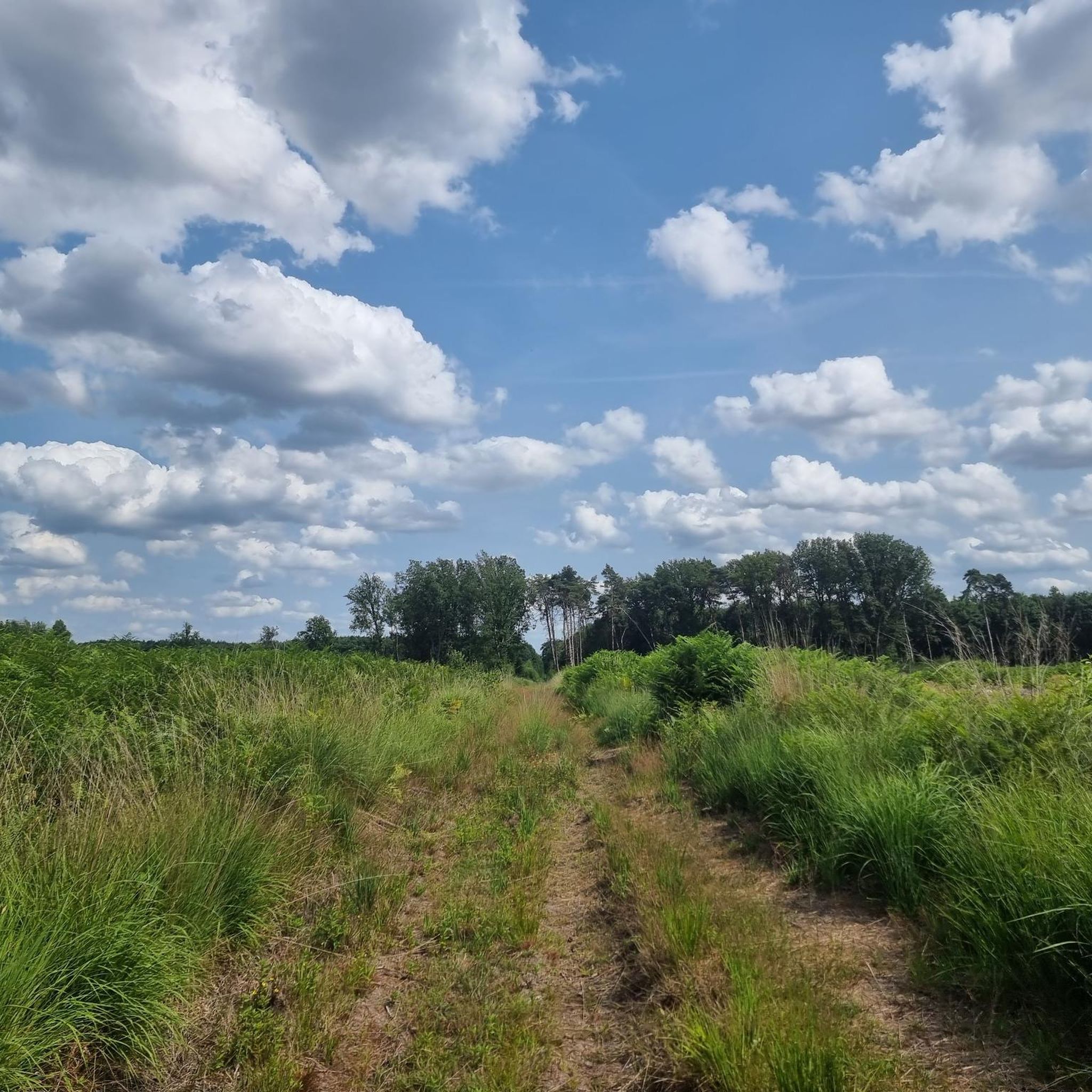
Hiking around Bruille-Saint-Amand offers diverse natural landscapes, including rolling hills, lush forests, and tranquil waterways. The region features extensive woodlands such as the Forêt de la Chataigneraie and the Bon-Secours National Forest, providing varied terrain for outdoor activities. Hikers can explore trails alongside water features like the Lac du Gouffre and the Jaudy River, or ascend gentle hills such as Mont Pinchat for elevated views. This area provides a mix of flat paths and moderate ascents, catering to different hiking…
Last updated: July 9, 2026
4.4
(8)
41
hikers
8.19km
02:06
30m
30m
Moderate hike. Good fitness required. Easily-accessible paths. Suitable for all skill levels.
4.3
(13)
47
hikers
Easy hike. Great for any fitness level. Easily-accessible paths. Suitable for all skill levels.

Sign up for free
4.5
(2)
17
hikers
4.58km
01:11
20m
20m
Easy hike. Great for any fitness level. Easily-accessible paths. Suitable for all skill levels.
5.0
(2)
15
hikers
11.3km
02:53
40m
40m
Moderate hike. Good fitness required. Easily-accessible paths. Suitable for all skill levels.
4.6
(7)
20
hikers
27.7km
07:07
120m
120m
Hard hike. Very good fitness required. Easily-accessible paths. Suitable for all skill levels.
Get access to more routes and recommendations from other explorers.
Sign up for free
Already have an account?
Our route recommendations are based on thousands of hikes, rides, and runs completed by other people on komoot.
Start today with a free account
Your next adventure awaits.
Login or Signup
Tips from the Community


Quite imposing when you walk or cycle over it
0
0


great route organized by the tourist office this Sunday, June 15, 2025, with stops at interesting places of passage (bird viewpoint, headframe, Conde monuments)
1
0

Be careful of the narrow paths if you go there with several people.
1
0

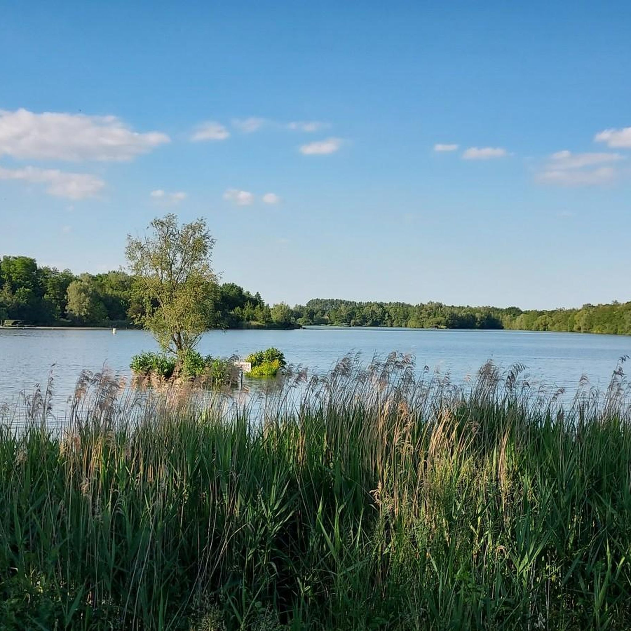
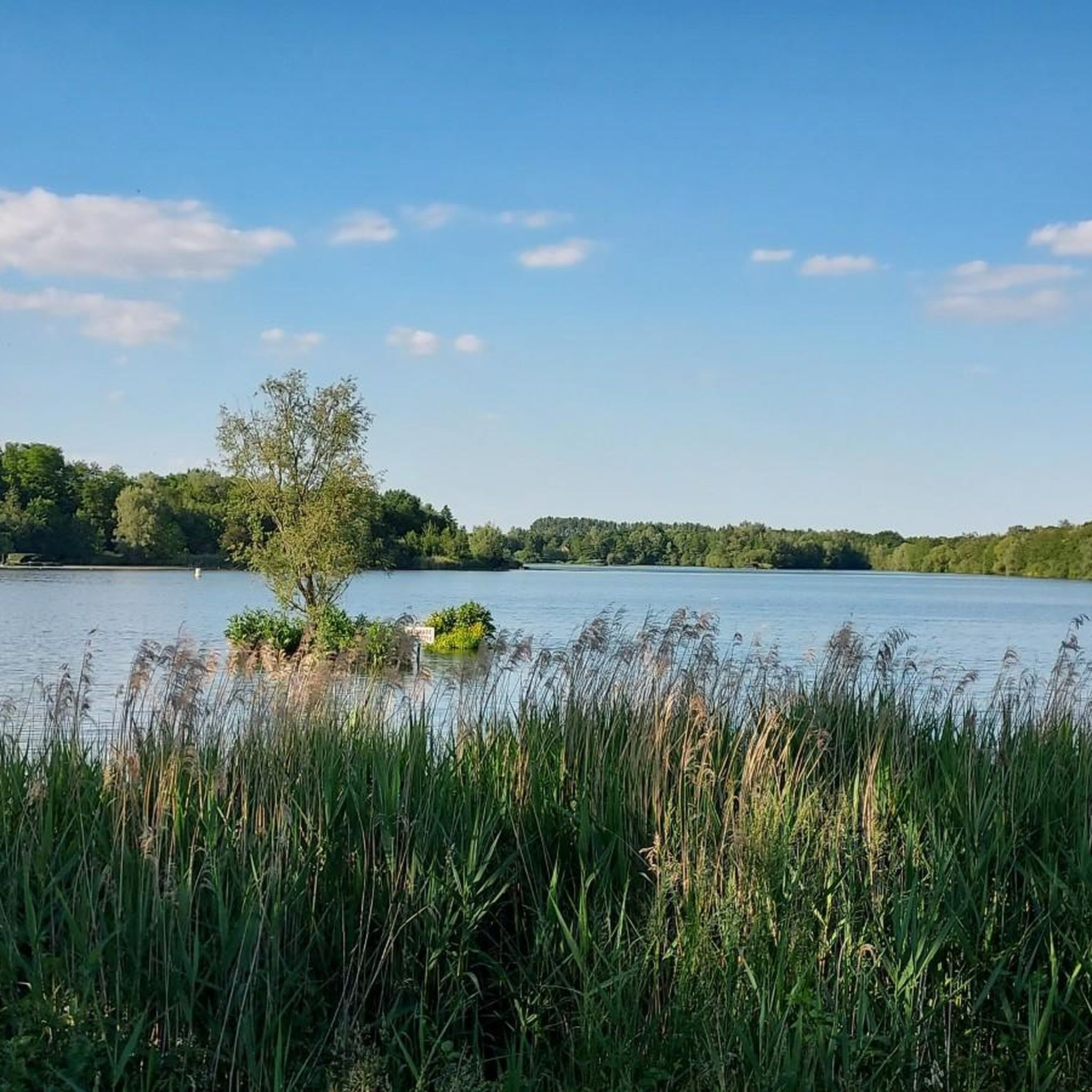
An easy 8 km hike around a beautiful pond. Lots of birds.
0
0
Frequently Asked Questions
What types of landscapes can I expect to see while hiking around Bruille-Saint-Amand?
Bruille-Saint-Amand offers a diverse range of natural landscapes. You'll find rolling hills, lush forests like the Forêt de la Chataigneraie and the extensive Bon-Secours National Forest, and tranquil waterways including the Lac du Gouffre and the Jaudy River. The area provides a mix of flat paths and gentle ascents, ensuring varied scenery for every hike.
Are there any easy, family-friendly hiking trails in the area?
Yes, Bruille-Saint-Amand has over 130 easy routes suitable for families. For a pleasant stroll, consider the Scheldt–Scarpe Confluence – Scarpe Lock loop from Château-l'Abbaye, an easy 7.8 km path that follows river systems. Another accessible option is the Bassin d'Amaury – Étang d'Amaury loop from Vieux-Condé, which is about 4.6 km long.
Can I find circular hiking routes around Bruille-Saint-Amand?
Many of the trails in Bruille-Saint-Amand are circular, allowing you to start and end at the same point. For example, the popular Bassin d'Amaury – Étang d'Amaury loop from Hergnies is a moderate 8.2 km circular route exploring tranquil ponds. Another option is the Chapel tour – Iron bridge at the Amaury pond loop from Hergnies, a 13.7 km loop through varied landscapes.
What are some notable natural attractions or points of interest along the hiking trails?
Hikers can discover several natural attractions. The Goriaux Pond, a national biological reserve within the Raismes-Saint-Amand-Wallers National Forest, is excellent for birdwatching and offers panoramic views from a nearby slag heap. You might also encounter the tranquil Étang Chabaud-Latour or the scenic Lake Bernissart. For unique geological formations, explore Les Carrières de Bruille, an old quarry transformed into a nature park.
Are there any trails with good viewpoints or elevated perspectives?
Yes, for rewarding panoramic views, consider a relatively gentle ascent to Mont Pinchat, one of the region's highest points. The Montée du Pré-aux-Ceps also offers a short but steep climb with spectacular vistas of nearby forests and farmlands. The Coteau de Saint-Amand provides gentle slopes with scenic views of the surrounding area.
What do other hikers say about the trails in Bruille-Saint-Amand?
The hiking routes in Bruille-Saint-Amand are highly regarded by the komoot community, holding an average rating of 4.4 stars from over 1,400 reviews. Hikers often praise the diverse forests, tranquil waterways, and well-maintained paths that cater to various ability levels.
Are dogs allowed on the hiking trails in Bruille-Saint-Amand?
While specific regulations can vary by trail and protected area, many natural spaces in Bruille-Saint-Amand, including parts of the Bon-Secours National Forest and local paths, are generally dog-friendly. It's always recommended to keep dogs on a leash, especially in nature reserves or areas with wildlife, and to clean up after them.
What is the best time of year to go hiking in Bruille-Saint-Amand?
Bruille-Saint-Amand offers pleasant hiking conditions throughout much of the year. Spring brings blooming flora and mild temperatures, while autumn is ideal for enjoying the vibrant colors of the forests, particularly in the Forêt de la Chataigneraie, and even offers opportunities for chestnut harvesting. Summer is also popular, but it's advisable to hike earlier or later in the day to avoid the midday heat.
Are there any historical sites or cultural elements to explore while hiking?
Yes, the region blends natural beauty with historical interest. You can explore the ancient walls and grounds of the Château de Bruille, which offers well-marked paths and panoramic views. Additionally, the Raismes-Saint-Amand-Wallers National Forest circuit allows hikers to discover historical casemates and learn about the Battle of the Escaut.
How many hiking trails are available in the Bruille-Saint-Amand area?
There are over 370 hiking routes available around Bruille-Saint-Amand, catering to a wide range of preferences and skill levels. This includes approximately 130 easy routes, over 200 moderate trails, and about 30 more challenging options.
Are there any trails that feature water bodies like lakes or rivers?
Absolutely. Bruille-Saint-Amand is rich in water features. You can hike along the tranquil Lac du Gouffre, explore the Piste des Étangs which winds through a series of interconnected ponds, or follow the Jaudy River into Les Gorges du Jaudy for a more rugged experience. The Scheldt–Scarpe Confluence – Scarpe Lock loop from Château-l'Abbaye also offers views of river systems and historical locks.
What kind of terrain can I expect on the moderate trails?
Moderate trails in Bruille-Saint-Amand typically involve varied terrain, including paths through forests, alongside lakes or rivers, and over gentle rolling hills. They might include slight ascents and descents but are generally well-maintained. An example is the Chapel tour – Hergnies Marshes loop from Hergnies, which covers about 9.8 km through diverse landscapes.
Most popular routes around Bruille-Saint-Amand
Most popular attractions around Bruille-Saint-Amand

Get inspired with the komoot mobile app


Explore more
Browse the best Hikes in other regions.
