The best walks and hikes around Mérignies
4.4
(1004)
5,084
hikers
15
hikes
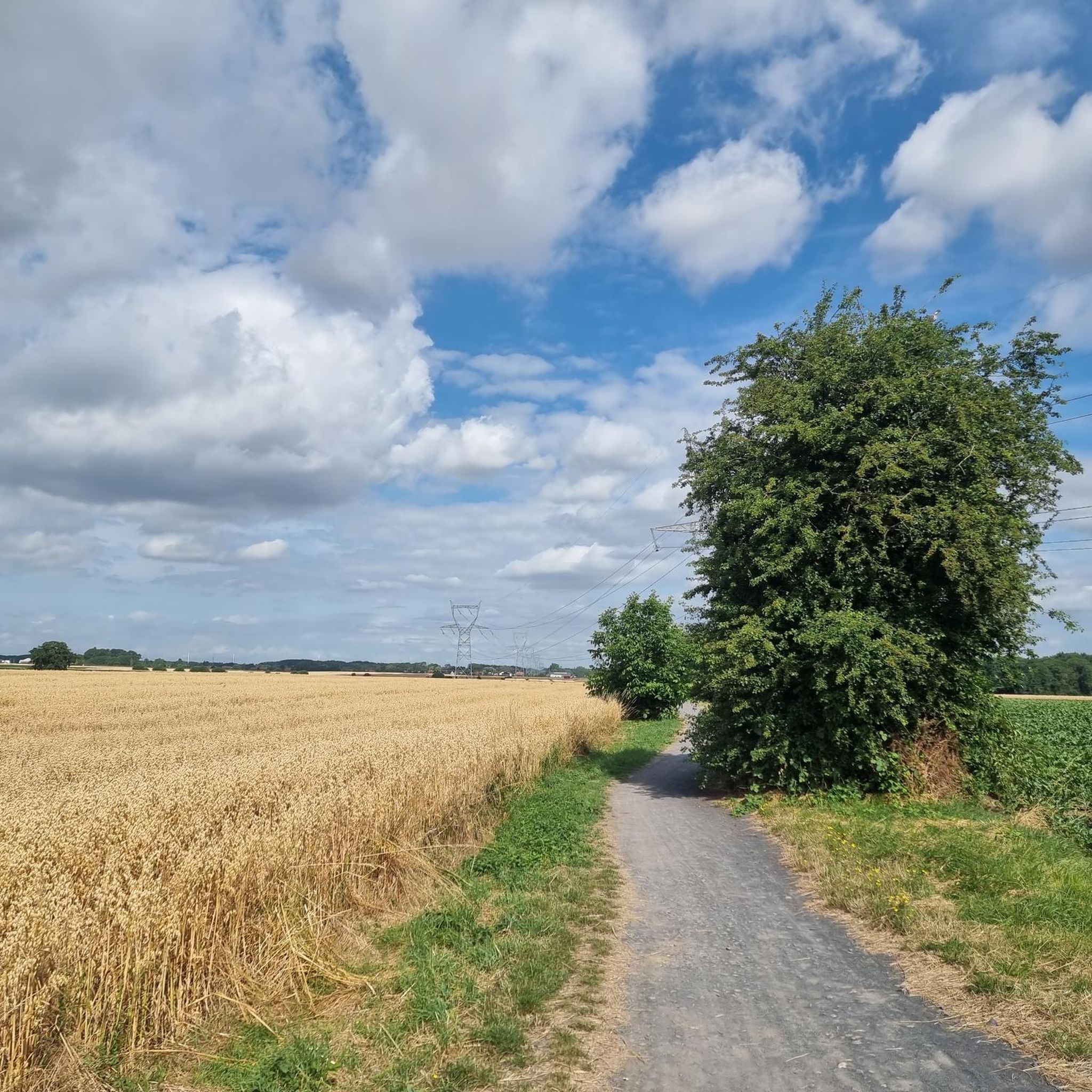
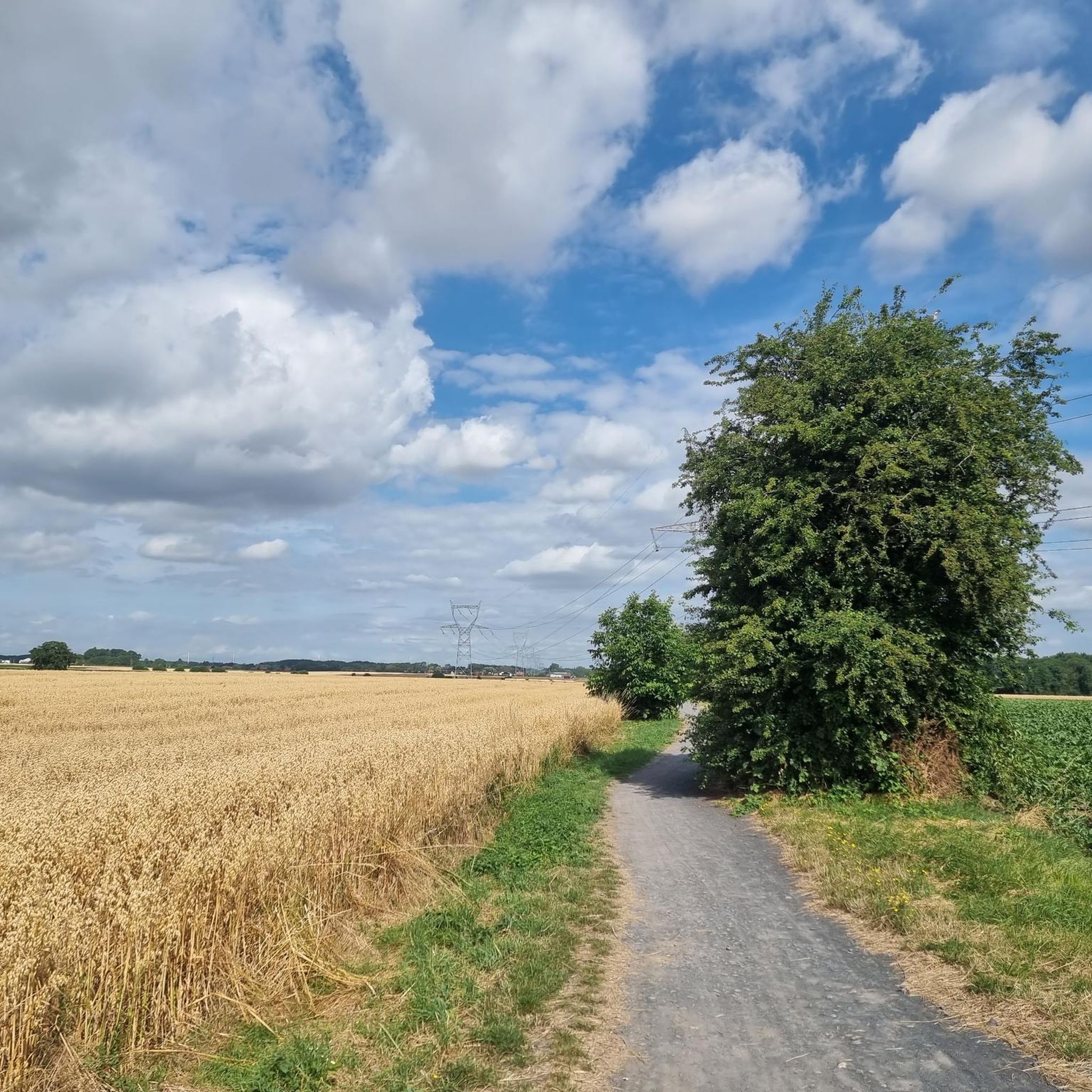
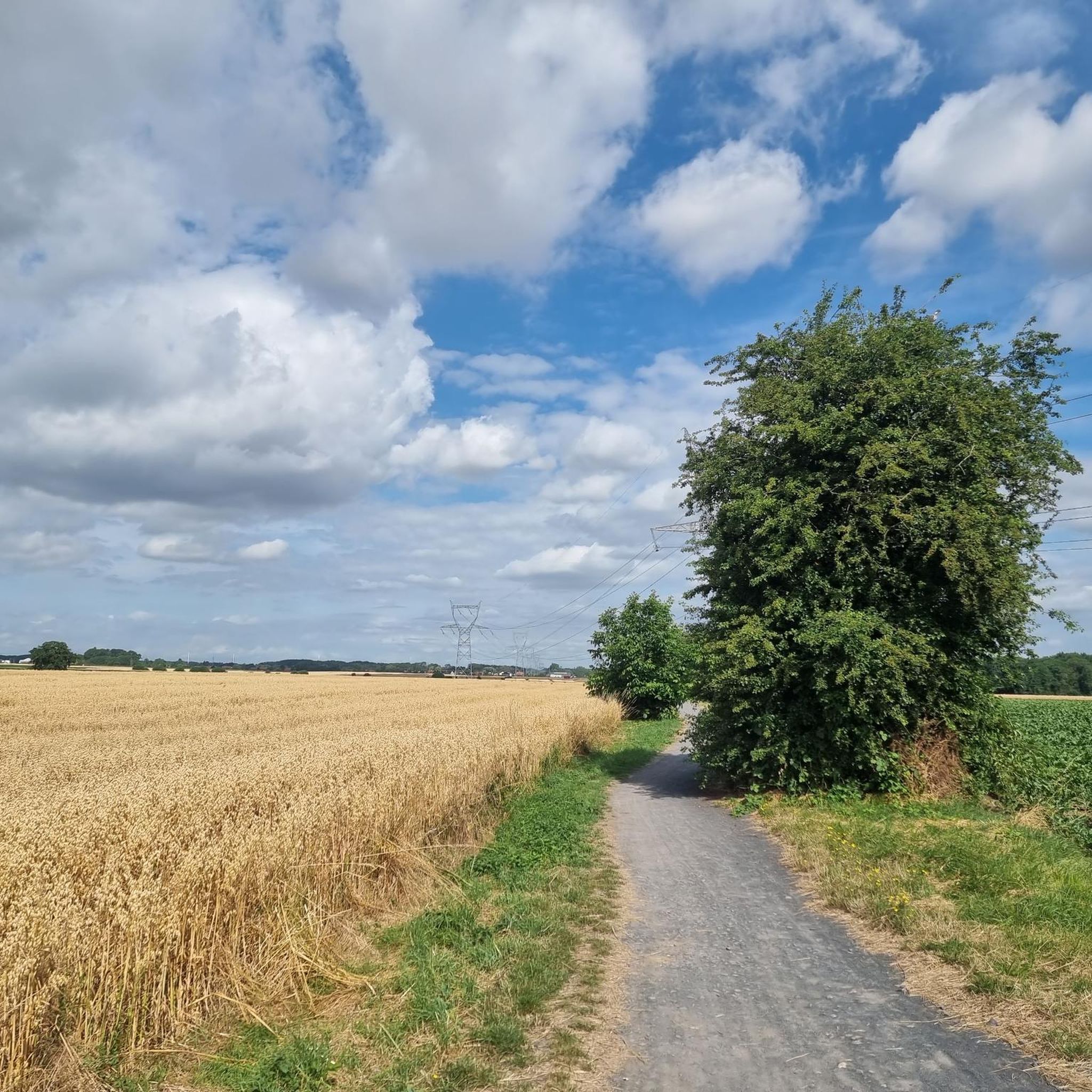
Hiking around Mérignies offers diverse landscapes, characterized by greenways, woodlands, and expansive agricultural fields. The region features the Voie Verte de la Pévèle, a significant greenway following an old railway line, providing varied terrain for walkers. Forested areas like the Bois de l'Aumône offer shaded paths, while numerous routes traverse open fields, showcasing the Pévèle region's rural scenery. This combination provides a range of natural environments for outdoor exploration.
Best hiking trails around Mérignies
- The most popular hiking route is…
Last updated: July 1, 2026
4.7
(13)
71
hikers
15.8km
04:03
70m
70m
Moderate hike. Good fitness required. Easily-accessible paths. Suitable for all skill levels.
4.5
(8)
30
hikers
Easy hike. Great for any fitness level. Easily-accessible paths. Suitable for all skill levels.

Sign up for free
3.5
(4)
26
hikers
7.69km
01:58
30m
30m
Easy hike. Great for any fitness level. Easily-accessible paths. Suitable for all skill levels.
7
hikers
6.30km
01:36
10m
10m
Easy hike. Great for any fitness level. Easily-accessible paths. Suitable for all skill levels.
3
hikers
8.62km
02:12
20m
20m
Moderate hike. Good fitness required. Easily-accessible paths. Suitable for all skill levels.
Get access to more routes and recommendations from other explorers.
Sign up for free
Already have an account?
Our route recommendations are based on thousands of hikes, rides, and runs completed by other people on komoot.
Start today with a free account
Your next adventure awaits.
Login or Signup


Tips from the Community

A long quiet trail, sometimes sheltered by trees
0
0

A nice section of Voie Verte, a hint of small roads, a good bit of forest (Marchiennes) and a return via the old Scarpe towpath to complete the loop. Itinerary accessible to all. However, some sections may become muddy in the event of rain.
1
0

Across the field after a nice cobbled section
0
0

Very pleasant and rolling. Unmissable in gravel
4
0
Frequently Asked Questions
How many hiking trails are available around Mérignies?
Mérignies offers a good selection of routes for hikers, with over 17 distinct hiking trails available. These range from easy strolls to more moderate excursions, ensuring options for various fitness levels.
What kind of landscapes can I expect to see on hikes near Mérignies?
Hiking around Mérignies provides a diverse experience, characterized by tranquil greenways, accessible woodlands, and expansive agricultural fields. You'll encounter sections of the Voie Verte de la Pévèle, which follows an old railway line, as well as forested areas like the Bois de l'Aumône. Many routes also traverse open fields, showcasing the Pévèle region's rural scenery.
Are there any easy or family-friendly hiking options in Mérignies?
Yes, Mérignies has several easy routes suitable for families or those looking for a relaxed walk. There are 5 easy trails, such as The Tour of Mérignies – Voie Verte de la Pévèle loop from Mérignies, which is a pleasant 3.8-mile path following sections of the Pévèle Greenway. Another accessible option is The Tour of Mérignies loop from Mérignies, an easy 4.8-mile trail.
Can I find circular hiking routes around Mérignies?
Many of the hiking routes in Mérignies are designed as loops, offering convenient circular walks. For example, the popular Hiking loop from Mérignies covers 9.8 miles, providing a comprehensive exploration of the local countryside. Another great option is the Étang de la Mousserie loop from Mérignies, a 5.4-mile trail leading through varied terrain around the Mousserie pond.
What are some notable natural features or landmarks to look out for on the trails?
The region around Mérignies offers several interesting natural features and landmarks. You might encounter sections of the historic Voie Verte de la Pévèle, an old railway line. For those interested in unique landscapes, the legendary Pavé de Mons-en-Pévèle, a challenging cobbled section famous from the Paris-Roubaix cycling race, is nearby. Additionally, you can explore natural monuments like the Ostricourt slag heap or the Leforest slag heap, which are remnants of the area's industrial past now reclaimed by nature.
Are there any specific trails that follow old railway lines or greenways?
Yes, a significant feature of the hiking in Mérignies is the Voie Verte de la Pévèle. This greenway follows an old railway line, offering a pleasant and rolling path through picturesque landscapes. Routes like The Tour of Mérignies – Voie Verte de la Pévèle loop from Mérignies incorporate sections of this historic path, providing a unique blend of nature and heritage.
What do other hikers say about the trails in Mérignies?
The hiking routes in Mérignies are highly regarded by the komoot community, boasting an average rating of 4.4 stars from over 900 reviews. More than 4000 hikers have used komoot to explore the varied terrain, often praising the tranquil greenways, accessible forest paths, and open agricultural landscapes.
Are there any lakes or ponds accessible via hiking trails?
Yes, the area features several bodies of water that can be part of your hiking experience. The Étang de la Mousserie loop from Mérignies, for instance, leads through the area around the Mousserie pond. Other nearby highlights include the Phalempin State Forest Ponds and the Rest area at Behnenwald, which is also a lake.
What is the best season to go hiking in Mérignies?
Mérignies offers pleasant hiking conditions throughout much of the year. Spring and autumn provide mild temperatures and beautiful scenery, with blooming flora or vibrant fall colors. Summer is also suitable, especially for shaded forest paths, while winter hikes can offer a unique, tranquil experience, though some paths might be muddy after rain.
Are dogs allowed on the hiking trails around Mérignies?
Generally, dogs are welcome on most public hiking trails in the Mérignies region, provided they are kept on a leash and owners clean up after them. It's always a good idea to check local signage for any specific restrictions, especially in nature reserves or protected areas.
Is there parking available near the trailheads in Mérignies?
Yes, parking is generally available in or near the villages and starting points of many hiking trails around Mérignies. As many routes pass through communes or utilize former railway lines, you'll often find convenient spots to park your vehicle before heading out on your hike.
Are there any trails that offer views of the agricultural landscape?
Absolutely. A significant characteristic of the Pévèle region around Mérignies is its expansive agricultural fields. Many hiking routes traverse these open spaces, providing serene views of the rural scenery and a sense of tranquility. The 'Chemin de Capelle à travers champs' (Capelle path across fields), for example, is known for this type of experience.
Most popular routes around Mérignies
Most popular attractions around Mérignies

Get inspired with the komoot mobile app


Explore more
Browse the best Hikes in other regions.
