The best road cycling routes around Lannoy
4.4
(893)
21,622
riders
469
rides
Road cycling routes around Lannoy traverse a landscape characterized by flat plains, gentle undulations, and a network of canals and greenways. The region features agricultural areas interspersed with small towns and historical sites like châteaux. Elevations are generally low, with some routes offering minor climbs, making it suitable for various fitness levels.
Best road cycling routes around Lannoy
- The most popular road cycling route is Warcoing Bridge – Espierres Canal loop from Lys-lez-Lannoy, a 20.1 miles (32.4 km) trail…
Last updated: October 12, 2026
4.0
(5)
51
riders
32.6km
01:26
70m
70m
Easy road ride. Great for any fitness level. Mostly well-paved surfaces and easy to ride.
5.0
(5)
37
riders
19.5km
00:48
30m
30m
Moderate road ride. Great for any fitness level. Some segments of this route may be unpaved and difficult to ride.

4.3
(3)
16
riders
37.8km
01:49
180m
180m
Moderate road ride. Great for any fitness level. Some segments of this route may be unpaved and difficult to ride.
5.0
(1)
17
riders
16.3km
00:39
60m
60m
Easy road ride. Great for any fitness level. Mostly well-paved surfaces and easy to ride.
4.8
(5)
14
riders
31.5km
01:19
90m
90m
Easy road ride. Great for any fitness level. Mostly well-paved surfaces and easy to ride.
Get access to more routes and recommendations from other explorers.
Already have an account?
Our route recommendations are based on thousands of hikes, rides, and runs completed by other people on komoot.
Start today with a free account
Your next adventure awaits.

Tips from the Community


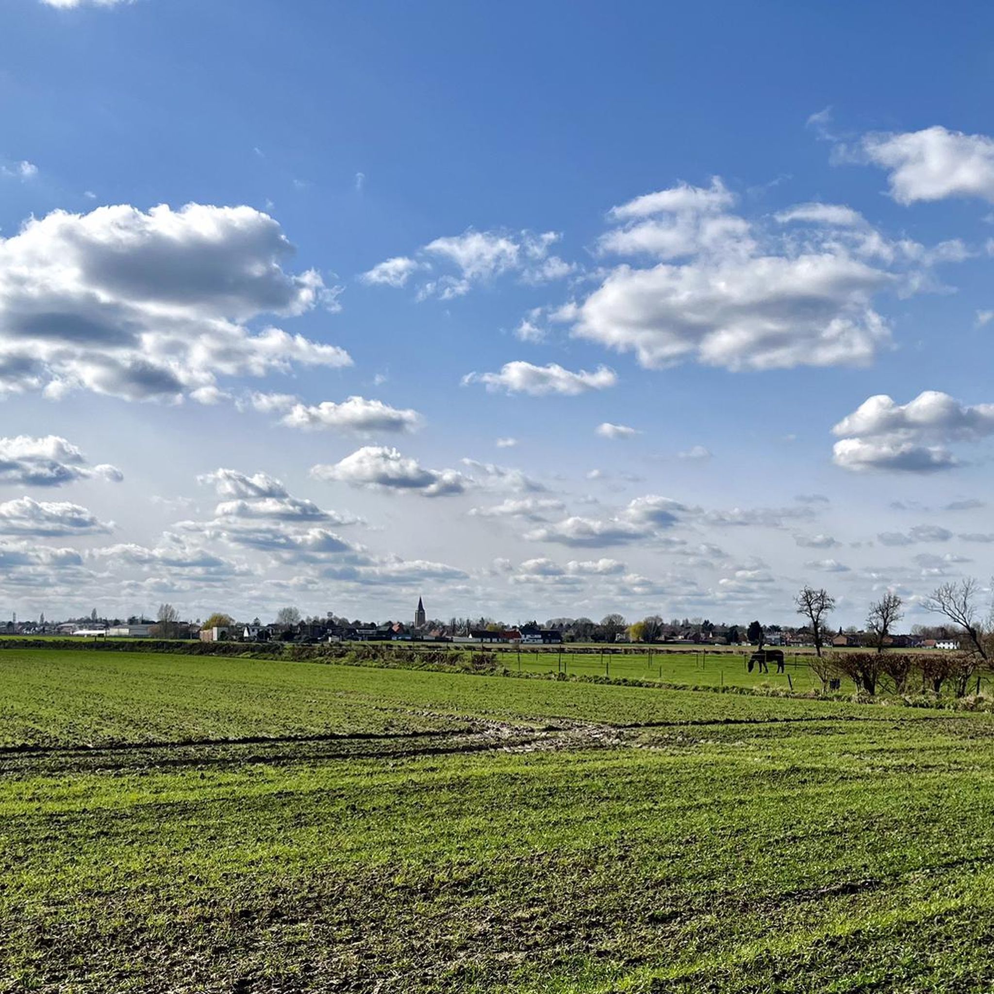
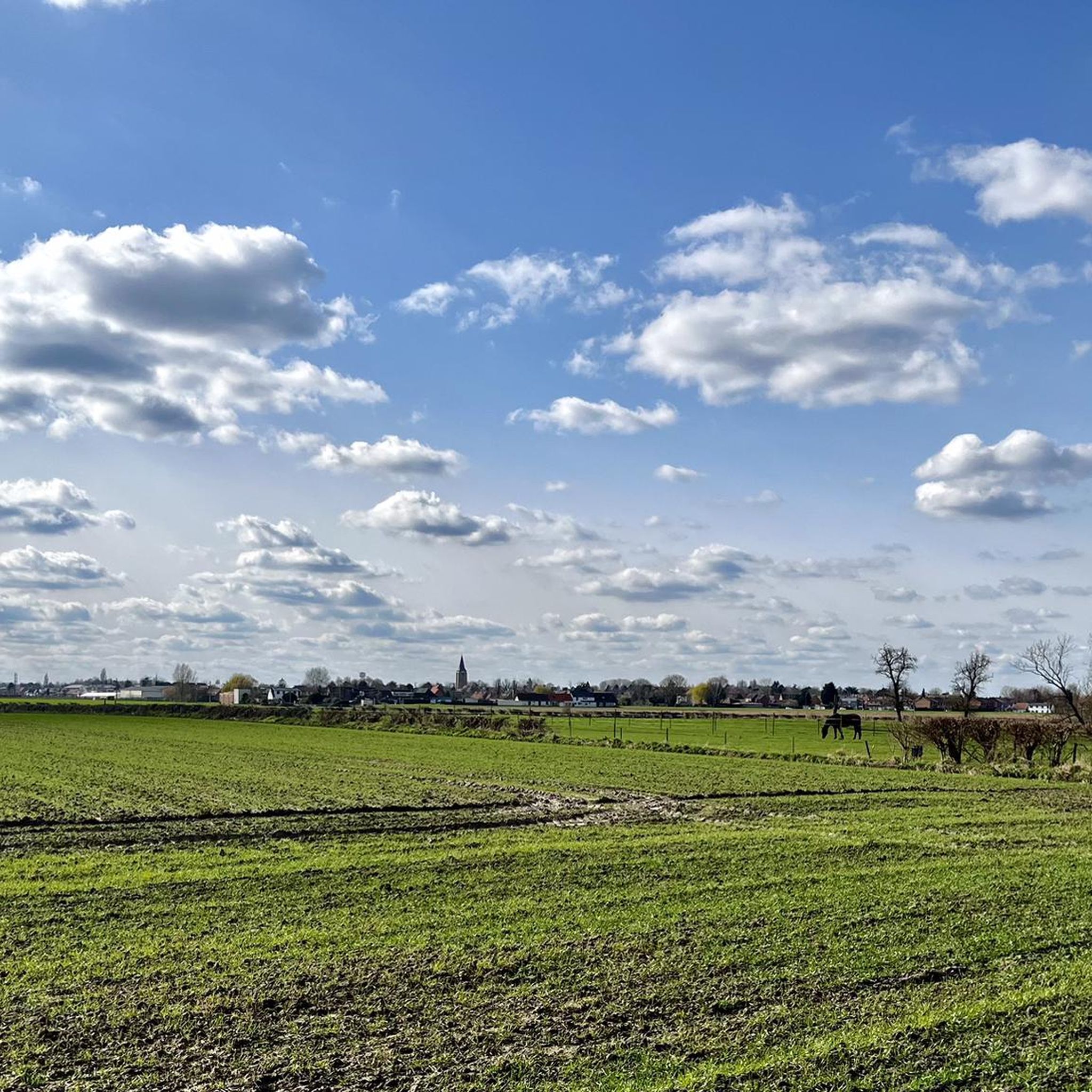
Super nice when there are no others to be seen. And doubly pleasant when you have the wind at your back.
0
0

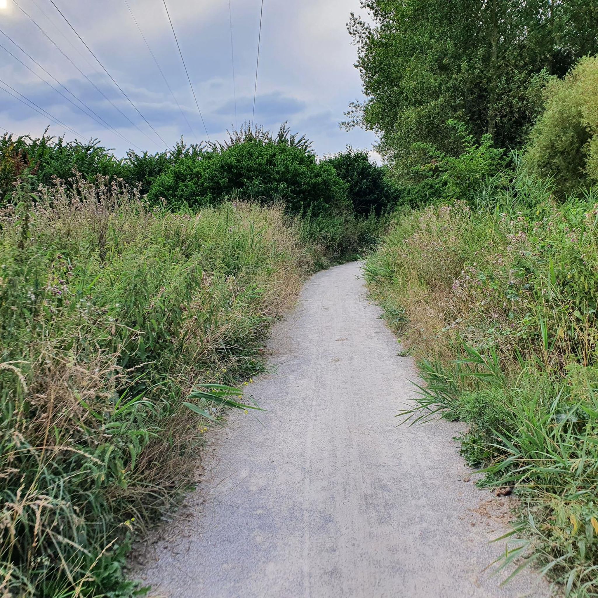
The old tram line in Rollegem was redeveloped into a slow road. It took some time to complete the final section, at the former tram station on Tombroekstraat (Beekweg). From the 18th century until May 25, 1963, the tram station served as a stop on the Kortrijk-Mouscron line. This line not only transported passengers, but often also a wagon loaded with goods or coal. The stop and loading yard were located on Tombroekstraat. From 1902 to 1938, the line was electrified. In 1963, a bus line replaced the tram. In 1990, the Flemish government constructed a cycle path on the embankment of the decommissioned line, connecting Bellegem with Rollegem, including a tunnel under the A17 motorway. However, approximately 300 meters of tram track, between two meadows, remained untouched. Starting in 2004, the city council purchased plots of land along the tram track. The missing section was included in the Cycle Route Plan. This section also includes the former bridge over the Fabrieksbeek stream. The new Chiro building is located on the site of the former tram station. Source: Stadskrant Kortrijk
4
0
The Mauroy Bridge is one of three movable bridges spanning the canal at Saint-Léger. Each bridge had a bridge keeper's house, where the bridge keeper lived, responsible for opening and closing the bridge each time a ship passed. These houses were often also cafés... or still are, as here. Just beyond the bridge, the old Mauroy farm bordered an imposing castle, the Mauroy Castle, designed by Sanderus in 1644. In 1504, the castle and the Mauroy estate belonged to Arnould de Maulde, a lord of the manor. Source: brochure "Promenade Saint-Léger"
3
0
Today, the Camille Depinoy municipal school is partly housed in the castle (park).
3
0
The lordship of Templeuve is already mentioned at the end of the 13th century. In 1278, Guillaume de Mortagne received the lordship of Rumez, which is now a hamlet within the municipality. Guillaume was also lord of Dossemer, near Templeuve. It is assumed that he also received the lordship of Templeuve from there. In any case, his son, Guillaume II, gave it to his wife as a dowry in the early 14th century. Dossemer and Templeuve remained in the hands of the Mortagne family until the end of the 14th century. This family presumably gradually expanded the manor, thus laying the foundation for the first fortified castle in Templeuve-en-Dossimer. In 1414, only Templeuve came into the possession of the du Quesnoy family. The Blondel and finally the Lannoy families followed. Around 1500, the castle likely became a manor house and a farm. The evolution of military weapons led the lords to demolish the old, cumbersome fortress and replace it with a lavish and modern residence. Out of respect for feudal traditions, which would continue for another two centuries, the moat was preserved, but the drawbridge was replaced by a permanent stone bridge. Originally, moats ran along all sides of the castle. The moat surrounding the castle on the east side was removed in 1845 by Victor de Formanoir de la Cazerie. The towers, a privilege of the noble lord, are preserved more as decoration than as a means of defense, as is the quadrangular shape, which was once dictated by military necessity. In short, its appearance as a 'castle' or 'fort' is more defined by tradition and grandeur than by military function. Source: Wikipedia
3
0
The original 14th-century church was destroyed by the Germans in 1918, at the end of World War I. They blew up the bell tower, which then collapsed, almost completely destroying the church. Miraculously, part of the original Gothic facade, including the 15th-century portal, remained standing. In 1923, barely five years after the destruction, the new church was built thanks to the villagers' determination and donations. This reconstruction was the work of architect Paul Clerbaux, who designed the church according to the same plan as the previous one, in the neo-Gothic style. The vaults were raised with ribbed arches, and the tower was built higher, above the transepts. The portal, dating from the 15th century, has a basket-handle arch beneath a pointed arch, flanked by two buttresses added in 1923. On either side of the doorposts are two statues in a covered niche, decorated with cabbage leaves. The first statue depicts Saint Amand (damaged by iconoclasts in 1566), and the other Saint Vincent (a saint not generally venerated in the Tournai region). Source: cipar.be
3
0
The Roubaix Canal, or the Espierres Canal, as it's called in French or Belgian, forms part of the link between the Deûle River in France and the Scheldt River in Belgium. In 1843, the two canals were connected between Leers, France, and Leers-Nord, Belgium. Despite damage sustained during the two world wars, the canal was the pinnacle of the region's textile industry for over a hundred years, transporting coal from Belgium to numerous French factories. In Leers-Nord, Belgium, the workers who pulled the coal-laden barges were called "satcheux" (sailors). Next to the lock keeper's house, a stone's throw from France, the crossing point between France and Belgium, a customs guardhouse was built. Customs officers were present to inspect the numerous goods transported by barge. After the decline of the textile industry in the 1970s and 1980s, the canal gradually lost its usefulness and was closed to shipping in 1983. In the early 2000s, the canal was the subject of a cross-border rehabilitation project to allow tourist boats to pass through again. As part of the Interreg Blue Links project, a collaboration between France, Flanders, and Wallonia, it was flooded again. The final works were completed in 2011, and navigation reopened. Since the early 20th century, the Roubaix/Espierres Canal has been a place of conviviality, walking, and fishing for cross-border residents and commuters. Consequently, strong public opposition has arisen to the plan to convert the canal into a motorway. Source: www.caue-nord.com
3
0
Frequently Asked Questions
How many road cycling routes are available in Lannoy?
There are over 470 road cycling routes around Lannoy, offering a wide variety of options for different skill levels and preferences. The komoot community has explored these routes over 19,000 times.
Are there easy road cycling routes for beginners in Lannoy?
Yes, Lannoy offers a good selection of easy road cycling routes, with 82 routes specifically graded as easy. These typically feature flat terrain along canal paths and greenways, ideal for those new to road cycling. An example is the Warcoing Bridge – Espierres Canal loop from Lys-lez-Lannoy, which is 20.1 miles (32.4 km) and follows flat canal paths.
What kind of terrain can I expect on road cycling routes around Lannoy?
Road cycling routes around Lannoy primarily feature flat plains and gentle undulations. You'll often find yourself cycling along a network of canals and greenways, through agricultural areas, and past charming small towns. While elevations are generally low, some routes do offer minor climbs, providing a varied experience suitable for different fitness levels.
Are there challenging road cycling routes for experienced cyclists in Lannoy?
While Lannoy is known for its generally flat terrain, there are 29 routes graded as difficult for those seeking more of a challenge. These routes may include longer distances or more frequent, albeit gentle, climbs. For example, the Château de la Royère – Mont-Saint-Aubert loop from Lys-lez-Lannoy is a moderate 27.3 miles (44.0 km) path that includes gentle climbs and varied scenery.
Can I find circular road cycling routes in Lannoy?
Many of the road cycling routes in Lannoy are designed as loops, allowing you to start and finish at the same point. This is convenient for exploring the region without needing to arrange transport back to your starting location. Examples include the Espierres Canal – Smooth canal section loop from Leers or the Very nice mill in Leers! – Brouwerij Omer Vander Ghinste loop from Toufflers.
What are some scenic points or landmarks I can see while road cycling in Lannoy?
The routes around Lannoy offer a mix of natural beauty and historical interest. You can cycle past serene bodies of water like Heron Lake or the Leers Filtration Ponds. Historical landmarks include the Belgium–France Border on the Canal de Roubaix and the famous Roubaix Velodrome. Many routes also follow picturesque canal paths like the Espierres Canal.
Are there family-friendly road cycling options in Lannoy?
Yes, the generally flat and well-maintained canal paths and greenways make Lannoy a great area for family-friendly road cycling. Many of the easy routes are suitable for cyclists of all ages and abilities. Look for routes that stick to dedicated cycle paths or quiet country roads for the safest and most enjoyable family experience.
What is the best time of year for road cycling in Lannoy?
The spring (April-May) and autumn (September-October) months are generally considered the best for road cycling in Lannoy. During these periods, the weather is typically mild, and the natural scenery is particularly beautiful. Summer can also be pleasant, though it can get warmer, while winter often brings colder temperatures and a higher chance of rain or frost.
What are the conditions for road cycling in Lannoy during winter?
Winter road cycling in Lannoy can be challenging due to colder temperatures, potential for rain, and occasional frost or ice, especially on less-trafficked paths. While some dedicated cyclists continue through winter, it's advisable to check weather forecasts, dress in layers, and ensure your bike is equipped for potentially slippery conditions. Many prefer the milder seasons for more comfortable rides.
Are there road cycling routes that pass by cafes or places to stop?
Yes, many road cycling routes in Lannoy pass through or near small towns and villages where you can find cafes, bakeries, and local shops for a break. The region's agricultural landscape also means you might encounter farm stands or small eateries. Planning your route with komoot allows you to see points of interest and potential stops along the way.
How long do road cycling routes typically take in Lannoy?
The duration of road cycling routes in Lannoy varies significantly based on distance and your pace. For example, an easy 12.1-mile (19.5 km) route like the Espierres Canal – Smooth canal section loop from Leers can be completed in about 49 minutes, while a moderate 27.3-mile (44.0 km) route might take around 1 hour 45 minutes.
Is public transport accessible for reaching road cycling routes in Lannoy?
Lannoy and its surrounding areas are generally well-connected by public transport, including local bus services that can help you reach various starting points for road cycling routes. Some regional train lines might also allow bikes, though it's always best to check specific operator policies and schedules in advance.
Where can I park my car when going road cycling in Lannoy?
Parking is generally available in the towns and villages around Lannoy, often near public spaces or designated parking areas. When planning your route, consider starting from a location with ample parking, such as a town center or a park-and-ride facility if available. Always check local signage for parking restrictions and fees.
What do other cyclists say about road cycling in Lannoy?
The road cycling routes in Lannoy are highly rated by the komoot community, with an average score of 4.3 stars from over 800 reviews. Cyclists often praise the well-maintained canal paths, the peaceful agricultural landscapes, and the variety of routes suitable for different fitness levels. Many appreciate the opportunity to explore both French and Belgian countryside on two wheels.
Most popular attractions around Lannoy

Get inspired with the komoot mobile app


Explore more
Browse the best Road cycling routes in other regions.
