The best road cycling routes around Génissieux
4.4
(226)
5,169
riders
436
rides
Road cycling routes around Génissieux traverse a landscape characterized by gentle hills and rural plains, offering varied terrain for cyclists. The region features a mix of open countryside and small village settings, with some routes providing elevated viewpoints. Road cyclists can expect a network of paths that navigate through agricultural areas and past local landmarks.
Best road cycling routes around Génissieux
- The most popular road cycling route is Génissieux Church loop from Aérodrome de Romans - Saint-Paul, a 16.5 miles (26.5 km) trail that takes 1 hour 8 minutes to complete. This easy route offers a gentle ride through the local countryside.
- Another top favourite among local road cyclists is Génissieux Church – Montmiral church loop from Génissieux, a moderate 25.1 miles (40.4 km) path. This route features rolling hills and rural scenery.
- Local road cyclists also love the Génissieux Church – View over Mours-Saint-Eusèbe loop from Génissieux, a 16.5 miles (26.6 km) trail leading through rural landscapes, often completed in about 1 hour 20 minutes.
- Road cycling around Génissieux is defined by rural plains, gentle hills, and scenic viewpoints. The network offers options for different ability levels, from easy loops to more challenging moderate rides.
- The routes in Génissieux are highly rated by the komoot community with an average score of 4.5 stars from over 270 reviews. More than 5,400 road cyclists have used komoot to explore Génissieux's varied terrain.
Last updated: July 15, 2026
3.7
(3)
27
riders
Moderate road ride. Good fitness required. Mostly well-paved surfaces and easy to ride.
11
riders
84.3km
04:00
1,060m
1,060m
Hard road ride. Very good fitness required. Mostly well-paved surfaces and easy to ride.

Sign up for free
6
riders
32.1km
01:39
370m
370m
Moderate road ride. Good fitness required. Some segments of this route may be unpaved and difficult to ride.
4
riders
Moderate road ride. Good fitness required. Some segments of this route may be unpaved and difficult to ride.
3
riders
57.1km
02:51
760m
760m
Moderate road ride. Good fitness required. Mostly well-paved surfaces and easy to ride.
Get access to more routes and recommendations from other explorers.
Sign up for free
Already have an account?
Our route recommendations are based on thousands of hikes, rides, and runs completed by other people on komoot.
Start today with a free account
Your next adventure awaits.
Login or Signup

Tips from the Community


This mountain pass is named after one of the great aviation pioneers of France. There are several ways to reach this pass, but whichever you choose, you will always have a beautiful view from this place.
0
0

It's beautiful, there's everything uphill, downhill, flat, suitable for even beginners!
0
0

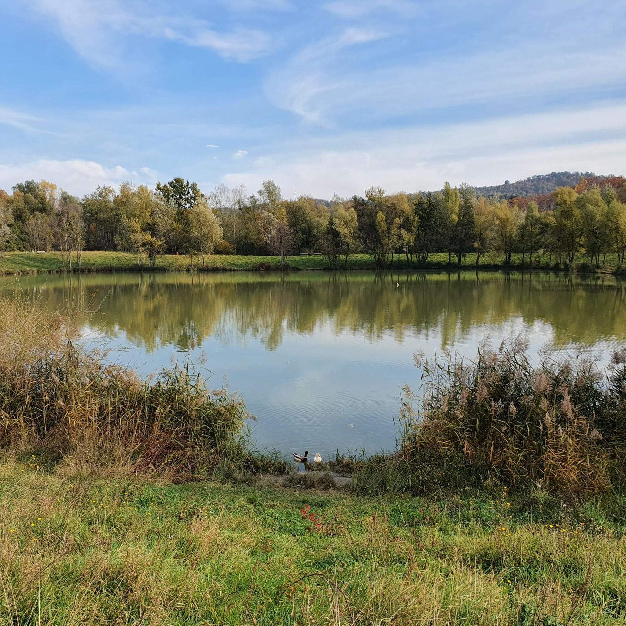
Fishing pond that is ideal for a relaxing stroll. Signs show the layperson the types of fish. There is a large car park with a toilet nearby.
0
0

Regional cuisine Super friendly service
0
0

Cafe / Resto at the bottom. Nothing at the top. The road has just been resurfaced so the descent is great. Be careful though, especially in the wet as water drains across the surface in places, typically on or just before the corners. Plenty of coffee and cake in Chabeuil. If you wanted to add a bit more you could descend to Beaufort-sur-Gervanne, which is a good option if the boulangerie is open, or loop across the top from Cavalli to Col des Limouches. It's over 1000 meters altitude and the descent is more technical. Some shaded picnic tables too.
0
1

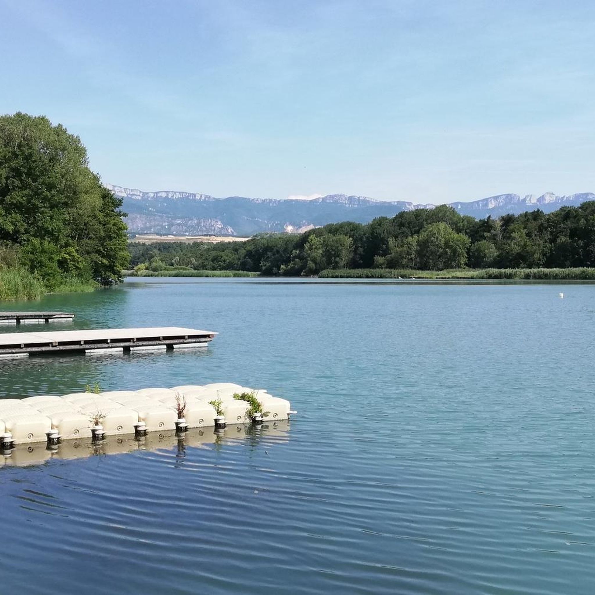
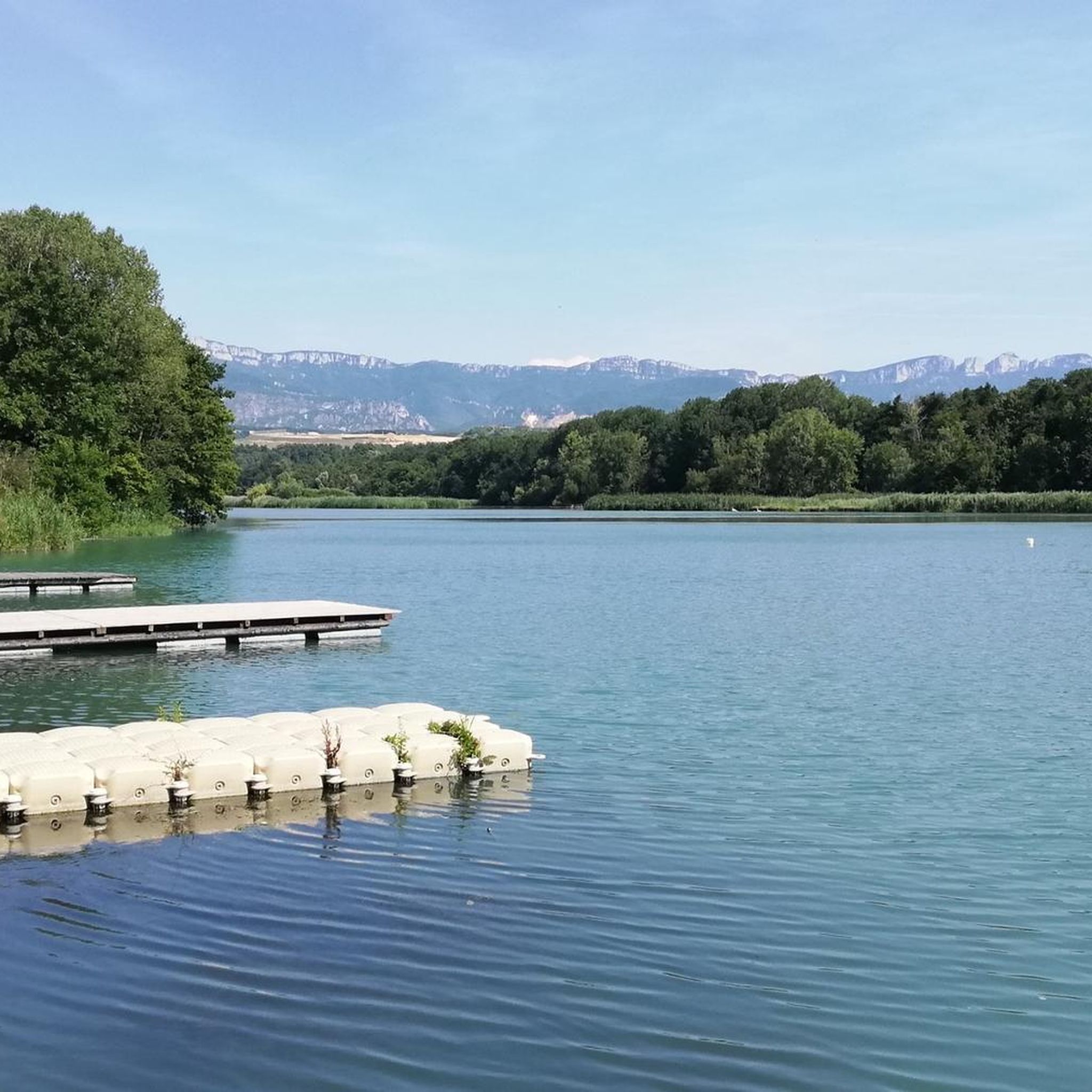
These are two water reservoirs which allow fishing as well as a walking and nature discovery trail. There is also an observatory and identification panels for the species that can be observed there.
0
0
Frequently Asked Questions
How many road cycling routes are available around Génissieux?
There are over 420 road cycling routes around Génissieux, offering a wide range of options for different skill levels and preferences.
What is the overall difficulty level of road cycling routes in Génissieux?
The routes around Génissieux cater to various abilities. You'll find 65 easy routes, 251 moderate routes, and 104 difficult routes, ensuring there's something for every cyclist.
Are there easy road cycling routes suitable for beginners in Génissieux?
Yes, Génissieux offers several easy road cycling routes. A great option is the Génissieux Church loop from Aérodrome de Romans - Saint-Paul, which is 16.5 miles (26.5 km) long and provides a gentle ride through the local countryside.
Can I find challenging road cycling routes with significant climbs near Génissieux?
While the region is characterized by gentle hills, there are routes that offer more elevation gain. For a moderate challenge with rolling hills, consider the Génissieux Church – Montmiral church loop from Génissieux, which includes over 580 meters of ascent.
Are there circular road cycling routes available in Génissieux?
Many of the road cycling routes around Génissieux are circular, allowing you to start and end at the same point. Examples include the Génissieux Church loop from Aérodrome de Romans - Saint-Paul and the Génissieux Church – View over Mours-Saint-Eusèbe loop from Génissieux.
What kind of scenery can I expect on road cycling routes around Génissieux?
Road cycling routes around Génissieux traverse a landscape of gentle hills and rural plains. You'll experience a mix of open countryside, agricultural areas, and small village settings, with some routes offering elevated viewpoints over the surrounding region.
Are there any scenic viewpoints along the road cycling routes?
Yes, some routes provide scenic viewpoints. The Génissieux Church – View over Mours-Saint-Eusèbe loop from Génissieux is a good option for rural landscapes that include elevated perspectives.
What do other road cyclists say about the routes in Génissieux?
The road cycling routes in Génissieux are highly rated by the komoot community, with an average score of 4.5 stars from over 270 reviews. Cyclists often praise the varied terrain, rural charm, and well-maintained paths.
What are some interesting places to see near the road cycling routes in Génissieux?
While cycling, you can explore nearby attractions such as the Historic centre of Romans-sur-Isère, the Collegiate Church of Saint Peter and Saint Paul, or the Vanelle dam. The Isère Valley Greenway Cycle Route also offers additional cycling opportunities.
Are there options for longer distance road cycling routes near Génissieux?
Yes, for longer rides, you can combine routes or explore the more extensive options. The Génissieux Church – Montmiral church loop from Génissieux is a moderate 25.1 miles (40.4 km) path, and many other routes can be linked for extended tours.
When is the best time of year for road cycling in Génissieux?
The spring and autumn months generally offer the most pleasant conditions for road cycling in Génissieux, with milder temperatures and beautiful scenery. Summer can also be enjoyable, but it's advisable to ride earlier in the morning or later in the afternoon to avoid the midday heat.
Are there road cycling routes with less traffic around Génissieux?
Many routes in Génissieux navigate through rural plains and agricultural areas, often utilizing quieter country roads. The region's focus on open countryside and small village settings tends to offer a more peaceful cycling experience away from heavy traffic.
Most popular routes around Génissieux
Most popular attractions around Génissieux

Get inspired with the komoot mobile app


Explore more
Browse the best Road cycling routes in other regions.
